Backroads Around Las Vegas, Basin and Range National Monument
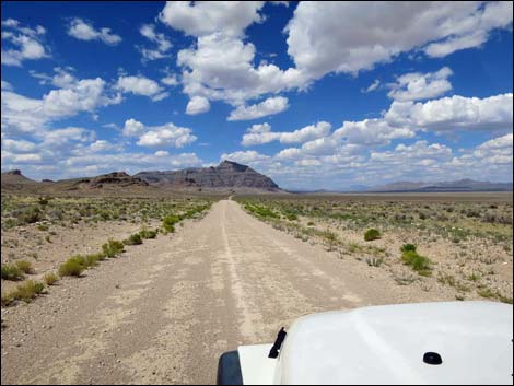
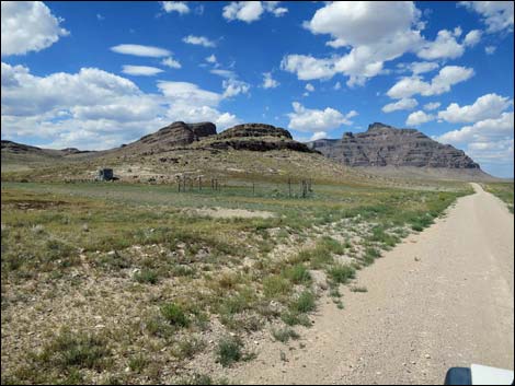
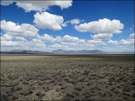
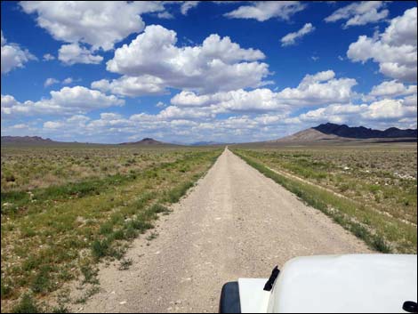
 Timber Pass Road approaching Coal Valley North Road (view NE) |
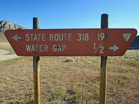
Overview Coal Valley North Road is a well-maintained dirt road that normally is suitable for 2WD vehicles. The road starts from Timber Pass Road near Water Gap (near where Seaman Wash Road, Cherry Creek Road, and Timber Pass Road converge) and runs north to Highway 318 south of Lund. This road provides access to northern regions of Coal Valley, corrals, grand scenery, the Natural Arch, and the pavement of Highway 318. |
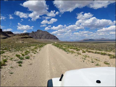
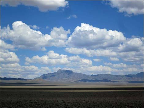
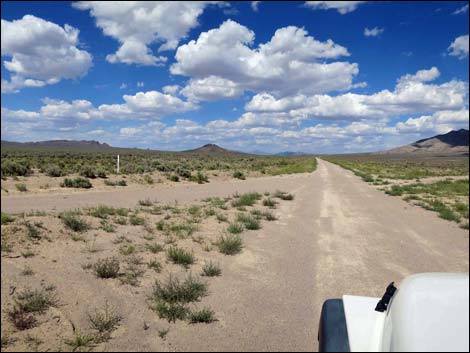
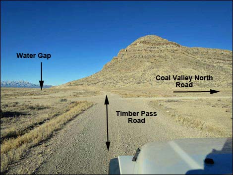 Timber Pass Road approaching Coal Valley North Road (view SW) |
Watch Out Other than the standard warnings about driving in the desert, ...this road is pretty safe, but be sure that your vehicle is in good working condition, carry plenty of water (radiator and drinking), and pack a lunch. Always drive carefully; even though the road is well maintained, there are occasional hazards such as errant boulders in the roadway and mud after heavy rains. While out, please respect the land and the other people out there, and try to Leave No Trace of your passage. This road goes into remote areas, so be sure to bring the 10 Essentials. Cell phones work along parts of this road. |
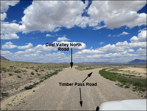
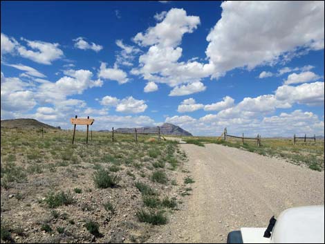
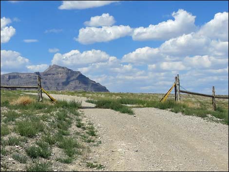
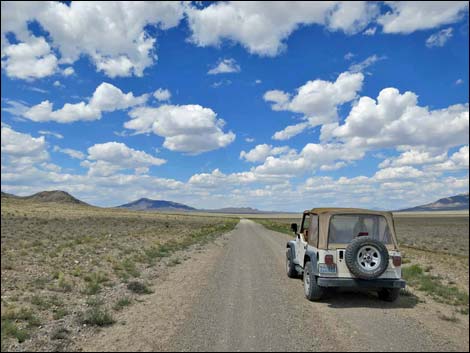
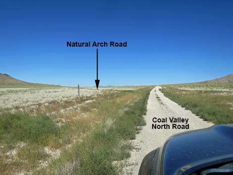
 Triangular intersection; both sides merging (view N) |
Getting to the Road Coal Valley North Road is located in the northeast part of Basin and Range National Monument, about 3 hours (150 miles) northeast of Las Vegas driving directly via Seaman Wash Road, or about 1-1/2 hours (50 miles) north of the intersection of Highway 93 and Highway 318. From Las Vegas, drive north on Interstate-15 21 miles to Highway 93. Turn left onto Great Basin Highway (Hwy 93) and drive north past the towns of Alamo (95 miles from Las Vegas) and Ash Springs (102 miles) to the intersection of Highway 93 and Highway 318 (107 miles). Gasoline is available in Alamo, Ash Springs, Rachael, and Lund. Turn left onto Highway 318 and drive west then north for 17.4 miles to Seaman Wash Road on the left. On Seaman Wash Road, drive northwest 26.5 miles to a fork in the road (stay "straight" at all forks and side roads to this point). At the fork, stay right and cross to the other side of the valley where the road forks again (broad, triangular intersection). Stay right onto Timber Pass Road and drive east 0.9 miles to Coal Valley North Road, on the left. |
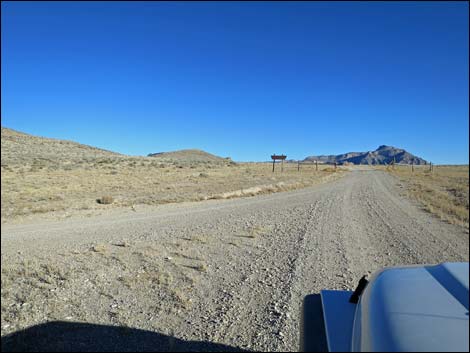
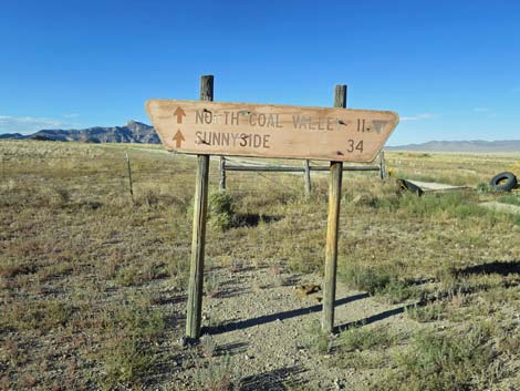
 Approaching road sign and cattle guard (view N) |
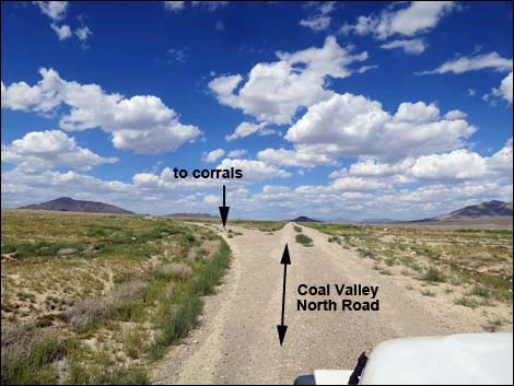
The Road From the triangular intersection with Timber Mountain Pass Road (Table 1, Site 1611), Coal Valley North Road turns north. Coal Valley North Road runs north along the east edge of the Golden Gate Range with Coal Valley spreading out to the north and east. The far side of Coal Valley is bordered by the Seaman Range. After passing below towering limestone cliffs, the road passes a short spur road on the left that leads to an old corral (2.2 miles out). Continuing north, the road bends a bit right to pass along the east base of another towering limestone mountain (Peak 7162) with several bands of imposing cliffs. |
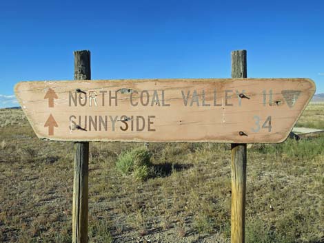
 Road sign and fence during summer (view N) |
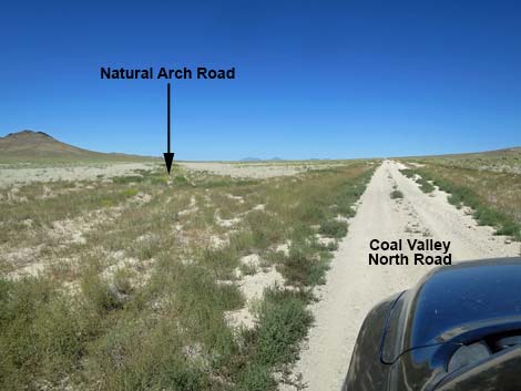
Passing north of Peak 7162, the road forks (Site 1612; 6.5 miles out). Coal Valley North Road stays right, while the left leads about a mile to a major corral and staging area. Bending right and starting out across Coal Valley, the road runs northeast among sagebrush and at 8.0 miles out, passes a road to the left that runs back and up to the corral staging area. Still running northeast, the road reaches the bottom of Coal Valley. In this area, a single fence post on the left marks a little-used road (Site 1613, 9.5 miles out) that is well grown over with low plants. This road leads to Natural Arch. In another 1.0 miles (Site 1614; 10.5 miles out), Coal Valley North Road exits Basin and Range National Monument, still heading northeast. The road eventually descends into the White River Valley, crossing the White River at Murphy Meadows. The road bends north, then continues northeast, passing just north of Gap Mountain and arriving at Highway 318 (Site 1615; 28.2 miles out). |
 Road sign and fence during winter (view N) |
 Looking back: backside of the sign (view SW) |
 Looking back: backside of the sign (view SW) |
 Crossing the cattle guard (view N) |
 Starting out on Coal Valley North Road (view N) |
 Edge of Coal Valley with Golden Gate Range on the left (view N) |
 Old corral (2.2 miles out) |
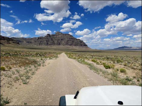 Heading towards Peak 7162 (view N) |
 Wrapping around Peak 7162 (view NE) |
 Passing Peak 7162 (view NE) |
 |
 |
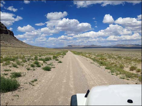
 Grand scenery (view NE) |
 Road forks left to corral and staging area (view NE) |
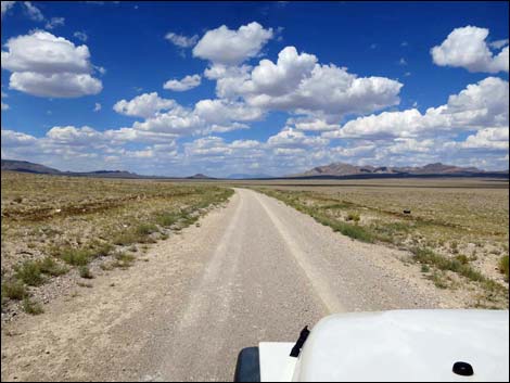
 Heading out across northern Coal Valley (view NE) |
 Road forks left back to corral and staging area (view NE) |
 A single fence post marks Natural Arch Road (view NE) |
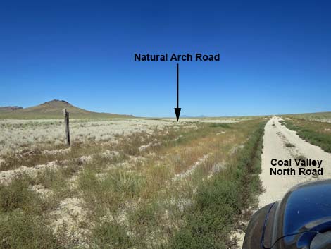 A single fence post marks Natural Arch Road (view NE) |
 Overgrown Natural Arch Road forks left (view NE) |
 More to come ... |
Table 1. Highway Coordinates and Distances based on GPS Data (NAD27). Download Highway GPS Waypoints (gpx) file.
| Wpt. | Location | Latitude (N) | Longitude (W) | Elevation (ft) | Point-to-Point Distance (mi) | Cumulative Distance (mi) | Verified |
|---|---|---|---|---|---|---|---|
| 1611 | Timber Pass Rd at Coal Valley N Rd | 38.04599 | 115.36003 | 5,052 | 00.00 | 00.00 | GPS |
| 1612 | Coal Valley N Rd at side road | 38.12803 | 115.30710 | 5,031 | 06.56 | 06.56 | GPS |
| 1613 | Coal Valley N Rd at Natural Arch Rd | 38.15707 | 115.26885 | 5,130 | 02.94 | 09.50 | GPS |
| 1614 | Coal Valley Rd at Nat Mon Boundary | 38.16530 | 115.25248 | 5,254 | 01.06 | 10.56 | GPS |
| 1615 | Highway 318 at Coal Valley North Road | 38.33426 | 115.04324 | 5,472 | 17.64 | 28.20 | GPS |
Happy Hiking! All distances, elevations, and other facts are approximate.
![]() ; Last updated 240324
; Last updated 240324
| Basin and Range | Backroads | Hiking Around Las Vegas | Glossary | Copyright, Conditions, Disclaimer | Home |