Hiking Around Las Vegas, Basin and Range National Monument
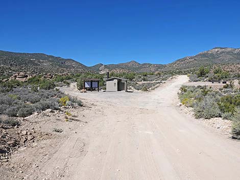
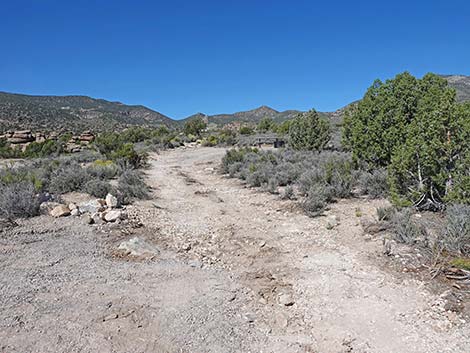
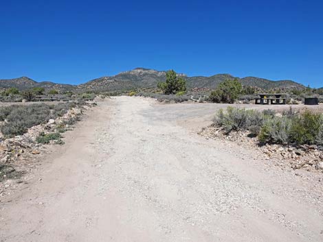
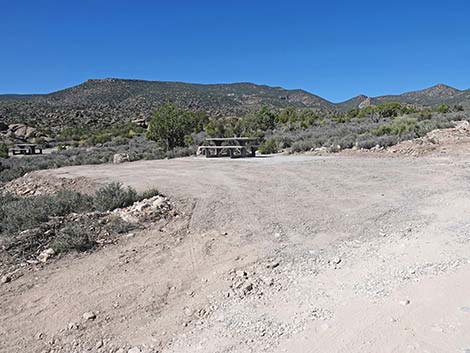
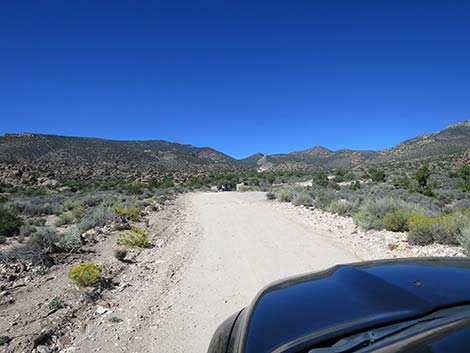 Logan Canyon Road approaching Mount Irish Campground (view W) |
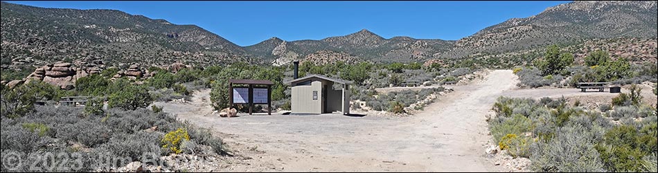
Overview Mount Irish Campground is the first and only developed campground in Basin and Range National Monument. Otherwise, there are no facilities of any kind, although primitive camping is legal everywhere along existing roads and trails, and there are a number of traditional campsites scattered throughout the monument. Mount Irish Campground, located in the Mt. Irish Archeological District, provides campers with a nice, developed campground with a vault toilet, picnic tables, and fire rings. The road to the site, Logan Canyon Road, usually requires only a 2WD medium-clearance vehicle. The wide parking areas provide space for tents. There are no trash receptacles, so Pack it in - Pack it out. Link to map. |
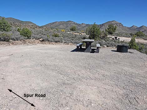
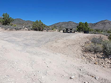
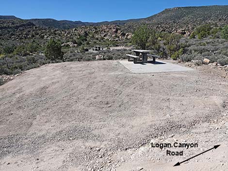
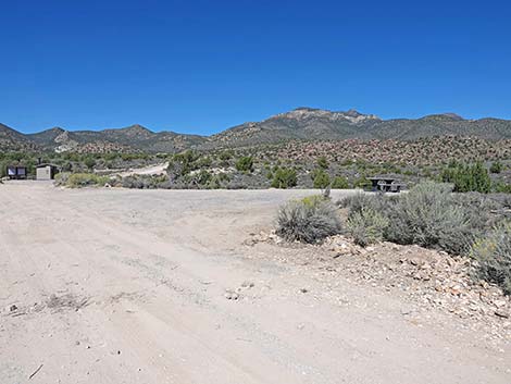 Logan Canyon Road at Campsite 1 (view W) |
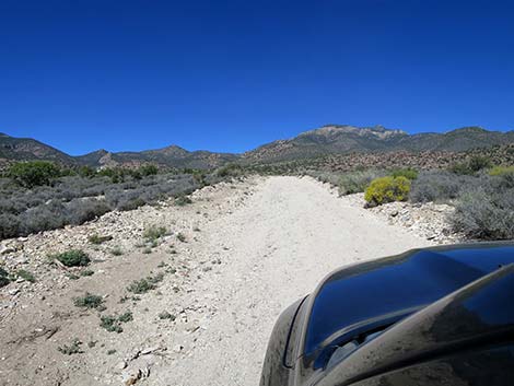
Getting to Camp Mount Irish Campground is located along Logan Canyon Road on the southeast edge of Basin and Range National Monument, about 2 hours (125 miles) northeast of Las Vegas. From Las Vegas, drive north on Interstate-15 for 21 miles to Highway 93. Drive north on Highway 93 past the towns of Alamo and Ash Springs to Highway 318. Turn left onto Highway 318 and drive north for 3.2 miles to Logan Canyon Road on the left. Turn left onto Logan Canyon Road, open and close the wire fence gates (or use the bypass: Hiko Dump Road), and drive northwest. There are several primitive campsites along the road, starting close to Highway 318 and stretching out to the summit of Logan Pass. For the Campground, drive westward 8.2 miles from the pavement. The campground is set on both sides of the road, and if you don't turn you will run into the outhouse, so you can't miss it. |
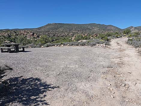
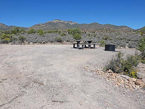
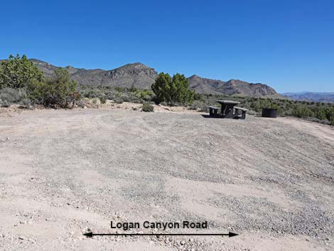
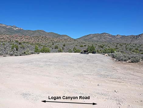 Campsite 1 (view N from Logan Canyon Road) |
Campground Mt. Irish Campground is set along Logan Canyon Road such that most of the campsites are along the roadway. The vault toilet can be seen from about 200 yards away. Before the vault toilet, the first campsite is on the right side of Logan Canyon Road. This site is and is large enough to park two big RVs. The second and third campsites are on a spur road off Logan Canyon Road. At the outhouse, the short spur road forks left of the information sign. The second campsite is adjacent to the toilet on the left, and the third campsite is a bit farther up the spur road, on the right. Back on Logan Canyon Road, the fourth campsite is just past the toilets, on the right. The fifth campsite is a bit farther up Logan Canyon Road, on the left. |
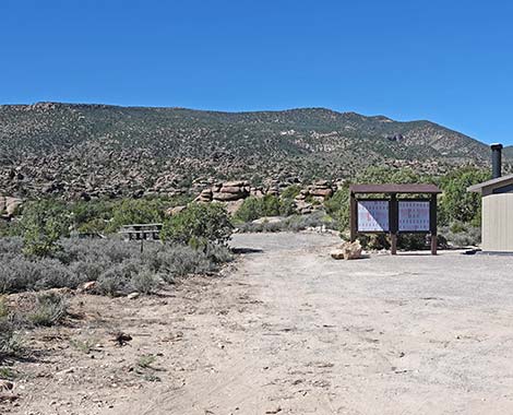
 Logan Canyon Road approaching vault toilet (view W) |
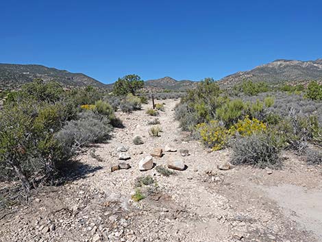
Campground Loop Trail A trail runs from the campground to Shaman Knob and Paiute Rock. Carsonite posts mark a route (no constructed trail) starting left of the toilets. The trail runs south into Logan Canyon Wash, then follows the wash upstream to an impassable pour-over. Backtracking a few steps, a bypass trail is marked with carsonite signs, on the north side of the wash. Back in the wash above the pour-over, the route again runs up the wash until carsonite signs lead hikers out of the wash to the left and up to Shaman Knob. Looping around Shaman Knob, the route follows a closed two-track road back to the campground, passing Paiute Rock along the way, and arriving at the third campsite. Being a loop, hikers can, of course, hike in the opposite direction: depart from Campsite 3 and return down the wash. |
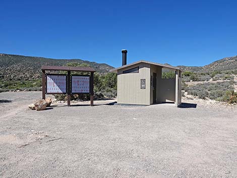 Vault toilet and information sign (view W) |
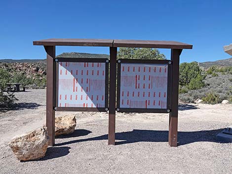 Vault toilet and information sign (view W) |
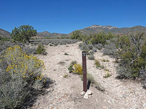
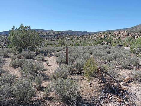 Campground Loop Trail marked with carsonite posts (view S) |
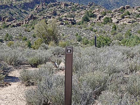 Carsonite post with directional arrow (view S) |
 Spur Road left of toilet and sign (view W) |
 Spur Road approaching Campsite 2 (view W) |
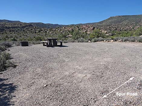 Campsite 2 (view SW from Spur Road) |
 Spur Road continues past Campsite 2 (view W) |
 Spur Road ends at Campsite 3 (view W) |
 Campsite 3 (view N from Spur Road) |
 End of Spur Road at Campsite 3 (view W) |
 Carsonite sign marks end of Campground Loop Trail (view W) |
 Logan Canyon Road approaching Campsite 4 (view NW) |
 Logan Canyon Road at Campsite 4 (view NW) |
 Campsite 4 (view NE from Logan Canyon Road) |
 Logan Canyon Road approaching Campsite 5 (view SW) |
 Campsite 5 (view SW from Logan Canyon Road) |
 Logan Canyon Road continuing past Mt. Irish Campground (view W) |
Table 1. Highway Coordinates based on GPS Data (NAD27; UTM Zone 11S). Download Highway GPS Waypoints (gpx) file.
| Site | Location | UTM Easting | UTM Northing | Latitude (N) | Longitude (W) | Elevation (ft) |
|---|---|---|---|---|---|---|
| Mt Irish | Mt Irish Archeological District | 644280 | 4162833 | 37.60312 | 115.36554 | 5,488 |
Happy Hiking! All distances, elevations, and other facts are approximate.
![]() ; Last updated 240323
; Last updated 240323
| Basin and Range Campsites | Hiking Around Las Vegas | Glossary | Copyright, Conditions, Disclaimer | Home |