Hiking Around Las Vegas, Red Rock Canyon National Conservation Area

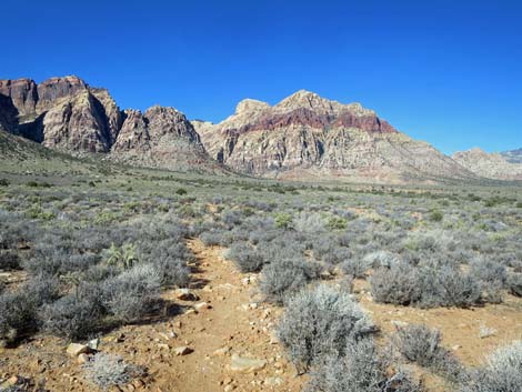
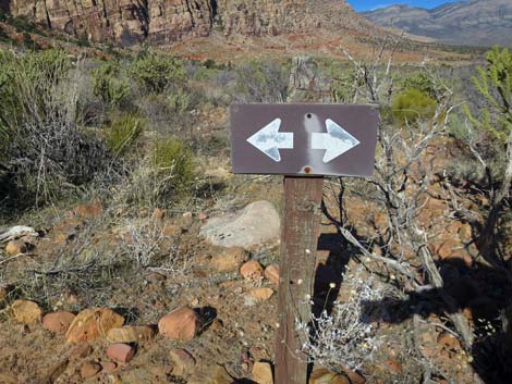
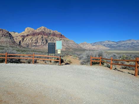 Arnight Trail (view NW from Oak Creek Road Trailhead parking area) |
Overview The Arnight Trail is a 1.1-mile trail-segment that runs through open desert along the base of the Wilson Cliffs connecting the Oak Creek Canyon Trailhead with the Knoll Trail. As such, this trail is only part of a hike, unless of course, if hikers turn around and hike directly back to the Oak Creek Canyon Trailhead. The Arnight Trail is part of the Rainbow Mountain Loop. The Arnight Trail provides a pleasant hike through spectacular desert country with relatively little elevation change and great views of the Rainbow Mountain Wilderness Area. The Arnight Trail lies between two trailheads, so it can be walked in either direction. Here, I describe it running from Oak Creek Canyon Trailhead north to the Knoll Trail, which can be taken to the Pine Creek Trail and the Pine Creek Trailhead. The trail can also be walked southbound. The total distance between the two trailheads is about 2.5 miles. Link to map. Link to BLM Georeference PDF map file. |
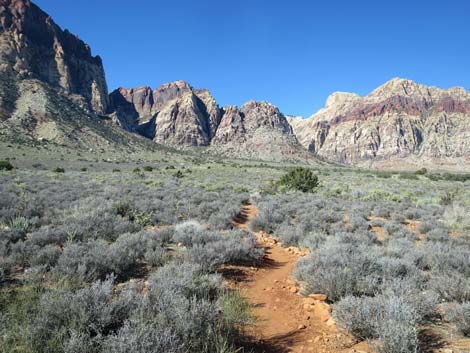
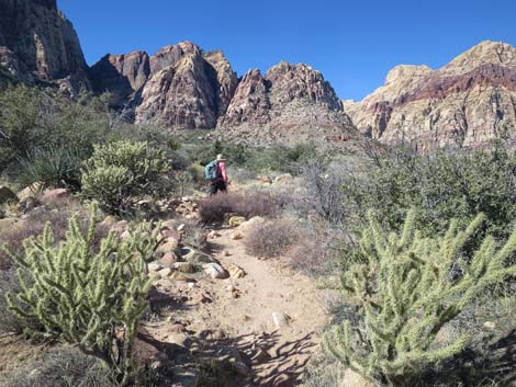
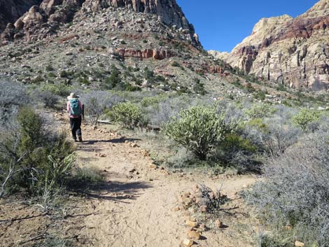
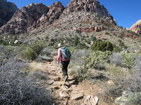
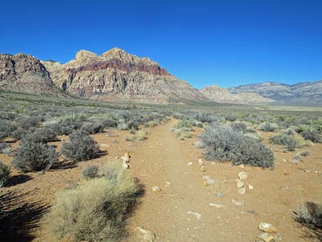 Departing the trailhead on the Arnight Trail (view NW) |
Watch Out Other than the standard warnings about hiking in the desert, ...this is a safe and easy, but rocky trail, so watch your step and don't twist an ankle. Watching your step, however, is difficult because the Wilson Cliffs, Rainbow Mountain, and Bridge Mountain in particular, just seem to get taller, more vertical, and more spectacular the closer you get, and you will want to watch the scenery rather than your feet. While hiking, please respect the land and the other people out there, and try to Leave No Trace of your passage. Also, even though this is a short hike, be sure to bring what you need of the 10 Essentials. |
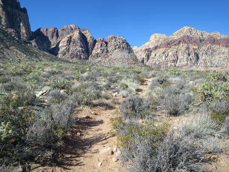
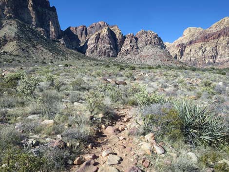
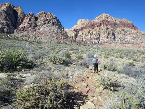
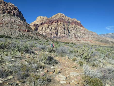
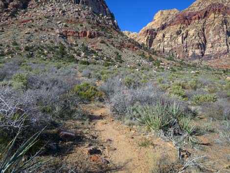
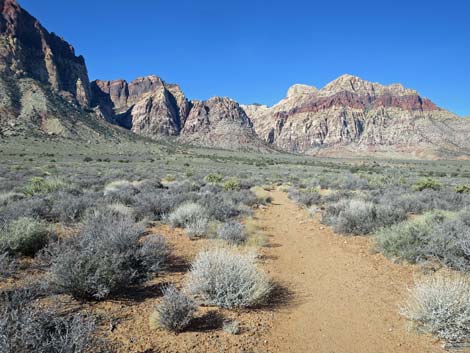 Arnight Trail starts out on gentle terrain (view NW) |
Getting to the Trailhead This hike is located along the Scenic Loop Road in Red Rock Canyon National Conservation Area, about 50 minutes west of Las Vegas. Drive out to Red Rocks, pay the fee, and then drive most of the way around the Scenic Loop Road to the Oak Creek Canyon Trailhead, located at the end of Oak Creek Canyon Road. Consider a 2-car shuttle: leave one car at Pine Creek Trailhead, then drive the other to Oak Creek Canyon Trailhead. Hike north to the Knoll Trail, continue north to cross Pine Creek, and then use the Pine Creek Trail to return to the Pine Creek Trailhead. |
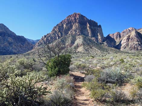
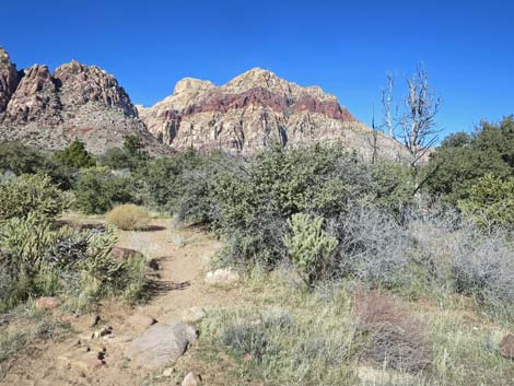
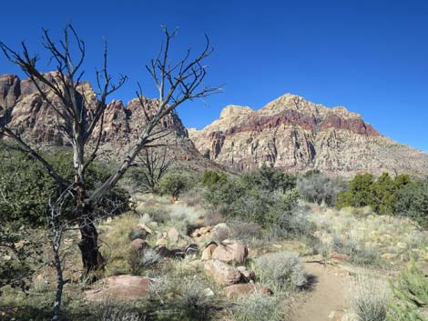
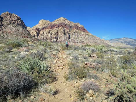
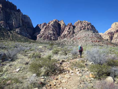
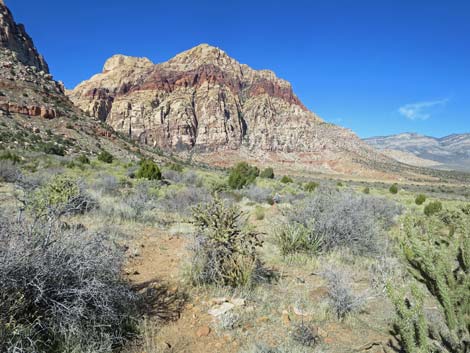
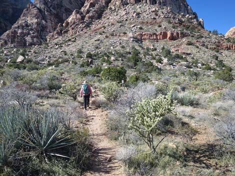
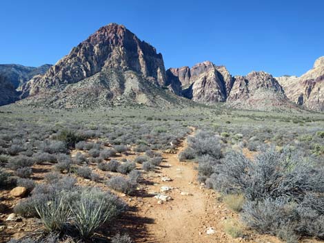 Arnight Trail with grand views of Rainbow Mountain (view W) |
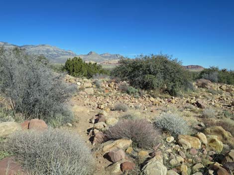
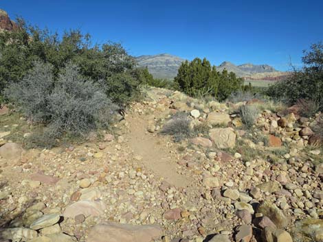
The Hike From the Oak Creek Canyon Trailhead (Table 1, Waypoint 01), the well-defined trail runs north from the northeast corner of the parking area. The trail winds among boulders and shrubs, and passes little washes, as it climbs the bajada at a slight grade. Along this part of the trail, there are many low-growing shrubs dominated by blackbrush with some yucca, buckhorn cholla, and a few other species mixed in. The low-growing shrubs don't block your view, and the land is fairly flat, so there are great views in all directions. In fact, hikers can look back and see the trailhead from most places along the trail. About 0.6 miles out, the trail crosses Juniper Canyon Wash (Wpt. 02). There is a fairly thick stand of Shrub Live Oak and Utah Juniper in the wash, and this is a good place to stop and listen for birds. There was a small wildfire on the north edge of the wash in 2002. It has been interesting to watch the site recover over the years. After crossing Juniper Canyon Wash, the trail runs generally uphill, with one steep part, for about 0.5 miles to a junction (Wpt. 03) with the Knoll Trail. The Arnight Trail ends here, but hikers can continue in ether on the Knoll Trail. |
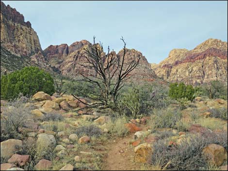
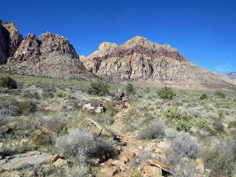
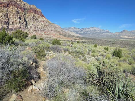
 Arnight Trail with grand views of Bridge Mountain (view NW) |
 Blackbrush and Bridge Mountain (view NW) |
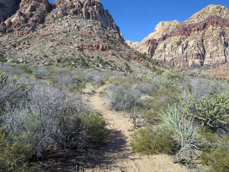
 Arnight Trail eventually begins to climb towards the cliffs (view NW) |
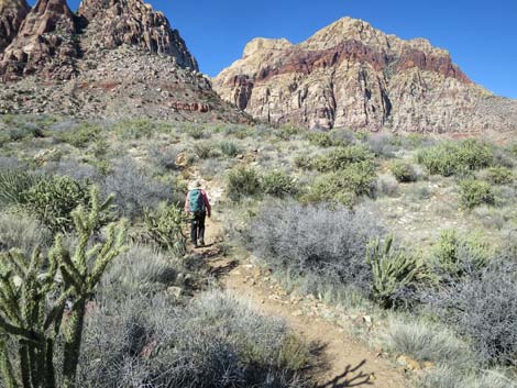
 Starting to encounter Utah Juniper along the Arnight Trail (view W) |
 Arnight Trail remain rocky (view NW) |
 Arnight Trail remain rocky (view NW) |
 Arnight Trail approaching Juniper Wash (view NW) |
 Arnight Trail crossing Juniper Wash (view N) |
 Arnight Trail crossing Juniper Wash (view N) |
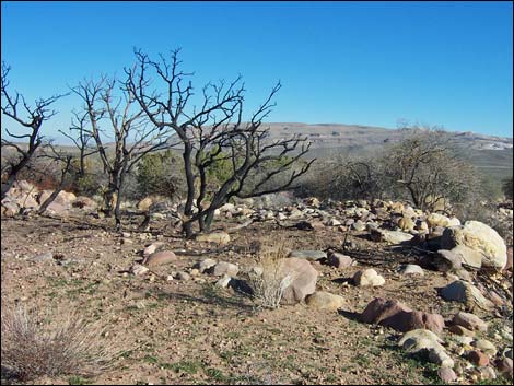 Site of a small 2002 wildfire at Juniper Wash (view E; 2002) |
 Site of a site of small 2002 wildfire (view NW, 2014) |
 Site of a site of small 2002 wildfire (view NW, 2020) |
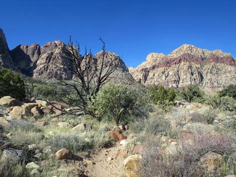 Site of a site of small 2002 wildfire (view NW, 2020) |
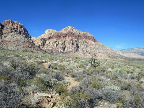
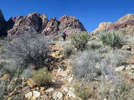
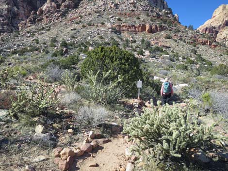
 Arnight Trail climbing gently up the bajada (view NW) |
 |
 |
 |
 |
 |
 |
 Steepest part of the trail (view NW) |
 Hiker back on gentle desert flats (view NW) |
 |
 |
 |
 |
 Junction with unmarked use-trail to Pine Creek Trailhead (view W) |
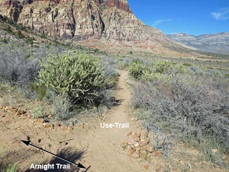 Unmarked use-trail to Pine Creek Trailhead (view NW) |
 Arnight Trail at an old "stay on the trail" sign (view W) |
 Old "stay on the trail" sign (view N) |
 Hiker on rocky trail (view W) |
 Hiker on dirt trail (view W) |
 Hiker arriving at Arnight-Knoll trail junction (view NW) |
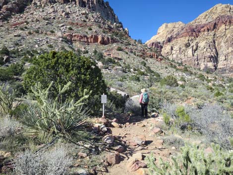 Arnight-Knoll trail junction (view NW) |
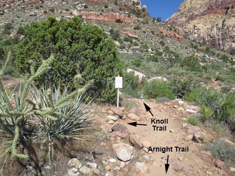 Arnight-Knoll trail junction (view NW) |
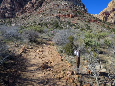
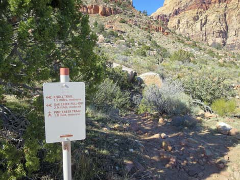 Sign at Arnight-Knoll trail junction (view NW) |
 Arnight-Knoll trail junction sign (view NW) |
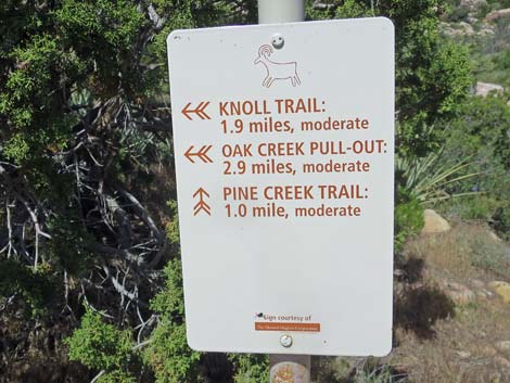
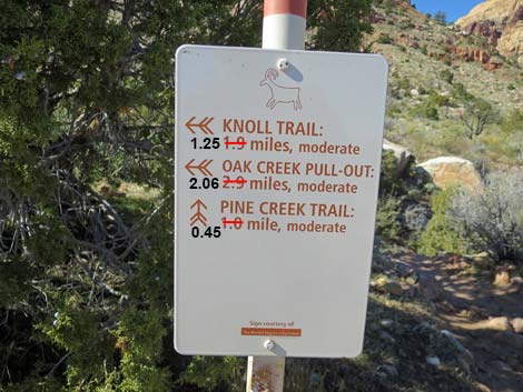 Arnight-Knoll trail junction sign (note incorrect distances; view NW) |
Table 1. Hiking Coordinates Based on GPS Data (NAD27; UTM Zone 11S). Download GPS Waypoints (*.gpx) file.
| Wpt. | Location | Easting | Northing | Elevation (ft) | Point-to-Point Distance | Cumulative Distance | Verified |
|---|---|---|---|---|---|---|---|
| 01 | Oak Creek Canyon trailhead | 638126 | 3997170 | 3,902 | 0.00 | 0.00 | GPS |
| 02 | Wash from Juniper Canyon | 637363 | 3997514 | 3,990 | 0.60 | 0.60 | GPS |
| 03 | Knoll Trail | 636701 | 3997957 | 4,138 | 0.54 | 1.14 | GPS |
Happy Hiking! All distances, elevations, and other facts are approximate.
![]() ; Last updated 240329
; Last updated 240329
| Hiking Around Red Rocks | Hiking Around Las Vegas | Glossary | Copyright, Conditions, Disclaimer | Home |