Hiking Around Las Vegas, Red Rock Canyon National Conservation Area
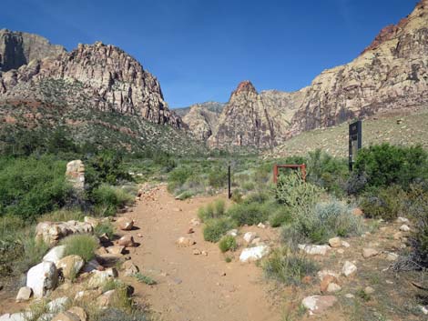
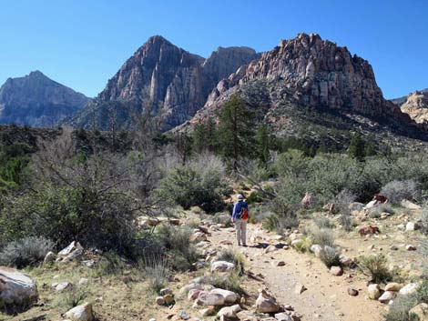
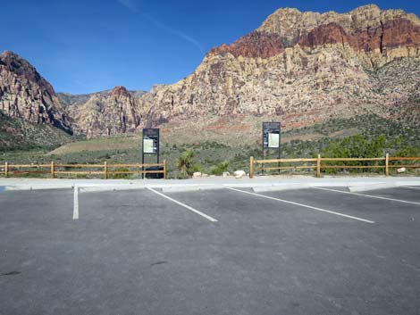 Pine Creek Canyon Trailhead parking area (view W) |
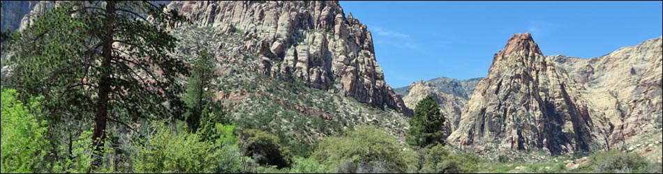
Overview The Pine Creek Canyon Trail is a fairly easy, 1.7-mile round-trip in-and-out hike that runs up along Pine Creek to the historical Wilson homestead. From the homestead, hikers can relax under the trees before heading back out, turn south on the Knoll Trail, or continue farther up Pine Creek Canyon on the Pine Creek Loop Trail. From the top of the loop, hikers can scramble and boulder-hop up Fern Canyon or Pine Creek Canyon into the Rainbow Mountain Wilderness Area for as far as they want. This area is interesting because it harbors a great botanical diversity of Mojave Desert Scrub vegetation mixed with a relict population of ponderosa pines and other species that normally are found at higher elevations. The upper canyon gets some full sun, especially early in the day, but generally it is a nice cool place to hike. The entire trail, including the Pine Creek Loop Trail, is about 2.6 miles. Link to map. Link to BLM Georeference PDF map file. |
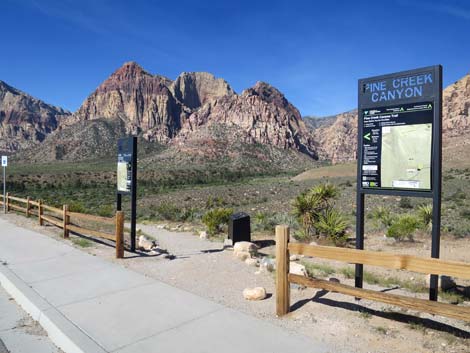
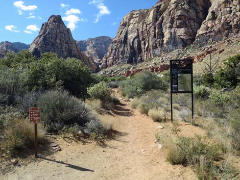
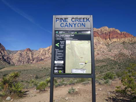 Pine Creek Canyon Trailhead sign (view W) |
Watch Out Other than the standard warnings about hiking in the desert, ... this is a rocky trail where hikers have to keep watching their feet, but other than that, it is pretty safe on the trail. Up the canyons past the end of the loop, the route requires 2nd-class scrambling over and around boulders and up slick-rock terraces. Be careful when high enough to fall and hurt yourself, and watch for wet or icy rocks in the canyon and around the stream. Treat or filter the water before drinking (there are a lots of bighorn sheep in the canyon). While hiking, please respect the land and the other people out there, and try to Leave No Trace of your passage. Also, even though this is a short hike, be sure to bring what you need of the 10 Essentials. |
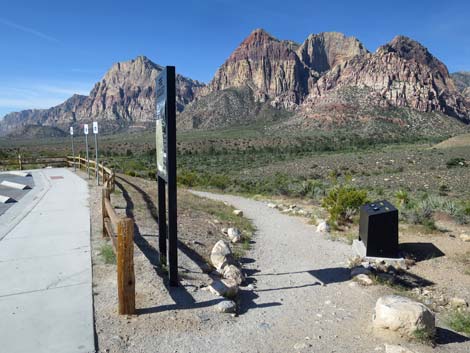
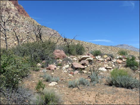
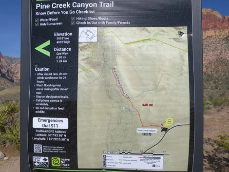 Pine Creek Trailhead map (view NW) |
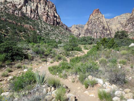
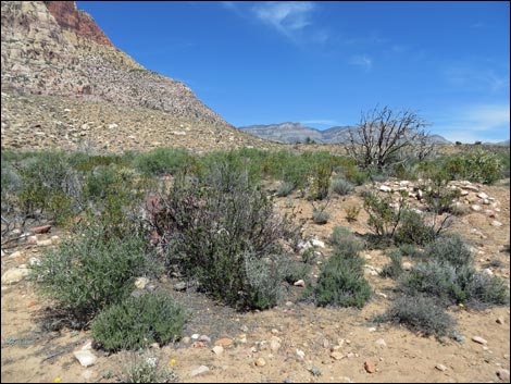
Getting to the Trailhead This hike is located along the Scenic Loop Road in Red Rock Canyon National Conservation Area, about 1 hour west of Las Vegas. Drive out to Red Rocks, pay the fee, and then drive about 2/3rds of the way around the Scenic Loop Road to the Pine Creek Canyon Trailhead. Park here; this is the trailhead. The Hike From the Pine Creek trailhead (Table 1, Waypoint 01), which sits atop a bench overlooking Pine Creek Wash, the well-worn Pine Creek Canyon Trail runs south, cutting down and across a steep sidehill. Near the trailhead, the vegetation is fairly sparse and dominated by only a few species, including blackbrush, Mojave yucca, banana yucca, and Utah juniper. After dropping across the hillside, the trail turns right (Wpt. 02) onto the broad flats along Pine Creek Wash. Here, the soil moisture is higher, and the vegetation abruptly changes to include shrub live oak, big sagebrush, Utah juniper, desert willow, and buckhorn cholla. |
 Old Pine Creek Trailhead sign (view NW) |
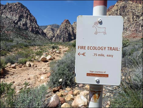
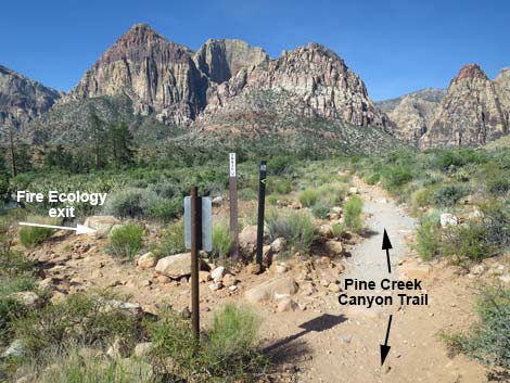
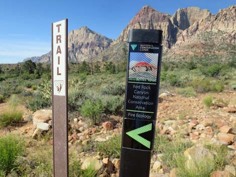
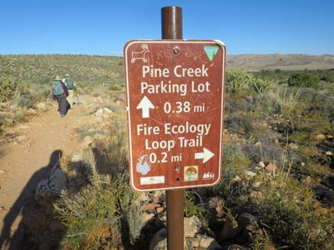
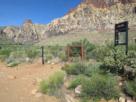
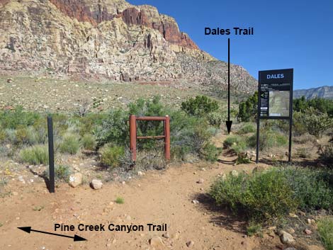
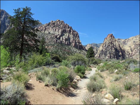
The Pine Creek Canyon Trail runs west and shortly reaches a trail junction (Wpt. 03) with the start of the Fire Ecology Trail. Continuing on the Pine Creek Canyon Trail, after only 45 yards, the trail reaches another trail junction (Wpt. 04), this time with the other end of the Fire Ecology Trail. The Fire Ecology Trail makes a figure-8 loop over to Pine Creek where signs provide information on efforts to control wildfire in the canyon. Continuing west, the Pine Creek Canyon Trail passes historical concrete and stone structures that used to mark the entrance to the Wilson Ranch. This is also the junction (Wpt. 05) with Dales Trail. The vegetation here is much thicker and diverse; manzanita and yerba santa join the species mix, and ponderosa pines are nearby, however, a fire burned the north side of the trail a few years ago. The Pine Creek Canyon Trail continues west towards a grove of ponderosa pine, a seasonal stream, and the remains of Horace Wilson's old homestead (Wpt. 06), which is just off the left side of the main trail. Old-man Wilson built his home in the early 1920s. He lived here for about 10 years and planted a big garden and orchard. Only the foundation of the house and some fruit trees remain. He left the canyon in 1933 and moved to Las Vegas where life was easier. |
 Trash can at start of Pine Creek Trail (view SW) |
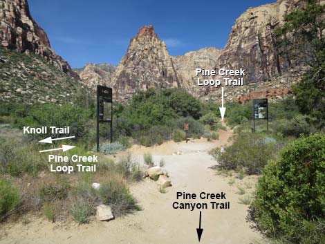
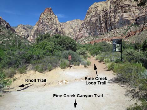
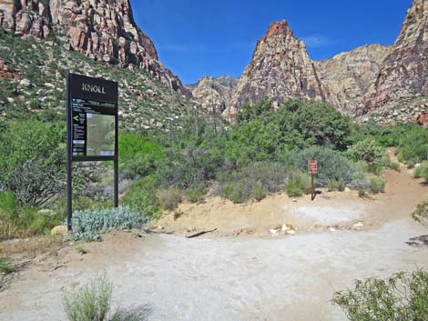
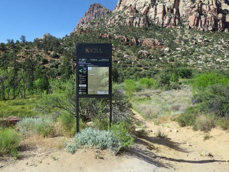
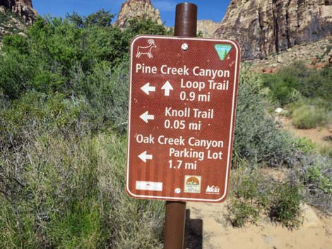
Continuing on the Pine Creek Canyon Trail for a few more yards, just past old-man Wilson's home, the trail forks (Wpt. 07). This fork marks the end of the Pine Creek Canyon Trail and the start of the Pine Creek Loop Trail (right) and the Knoll Trail (left). Continuing up the right fork of the trail (heading west, not south), the Pine Creek Loop Trail starts into Pine Creek Canyon, proper. The trail runs along the north side of the canyon, beneath towering sandstone cliffs, to the head of the canyon. Here, atop a high bench, the trail descends steeply onto sandy flats where a large, triangular trail intersection (Wpt. 08) is visible. Here, the Pine Creek Loop Trail turns left, while the use-trail right heads up Fern Canyon. The main trail then crosses Pine Creek, climbs out the other side, and loops back down the south side of the canyon, returning to the Wilson homesite. The fork to the left, the Knoll Trail, can be used to hike the loop in reverse or to hike south along the Red Rocks Escarpment. Otherwise, hikers can return to the trailhead by hiking back down the Pine Creek Canyon Trail. |
 Pine Creek Trail begins down under the parking lot (view W) |
 Trail descends across hillside (view SW) |
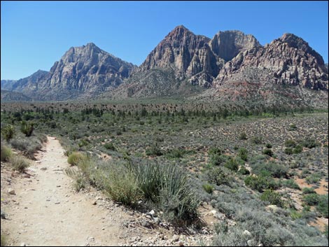 Trail continues to descend across hillside (view SW) |
 Trail continues to descend across hillside (view SW) |
 Trail continues to descend across hillside (view SW) |
 Steep section now has stair steps (view SW) |
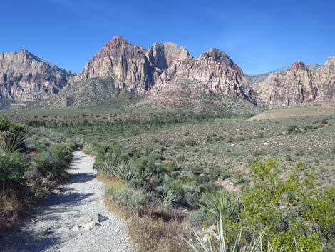
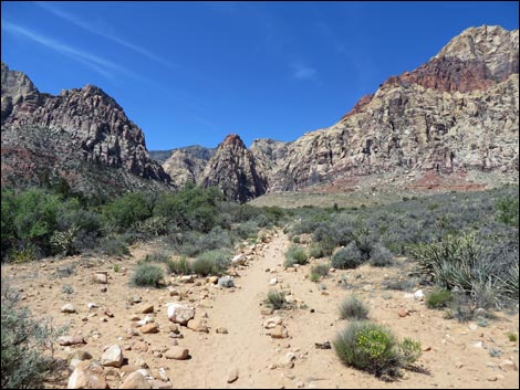
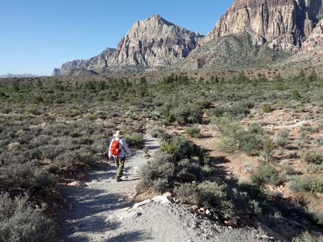 Trail can be seen on flats heading towards the canyon (view SW) |
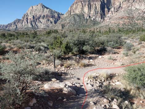 Approaching a trail junction with Pine-Oak Loop Trail (view SW) |
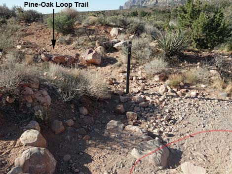 Trail sign at junction with Pine-Oak Loop Trail (view S) |
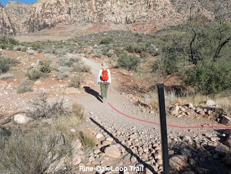 Hiker passing trail junction with Pine-Oak Loop Trail (view W) |
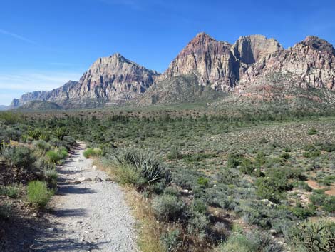
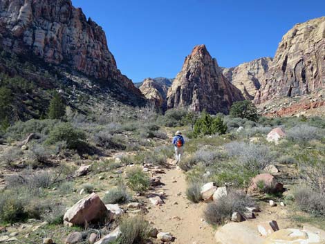
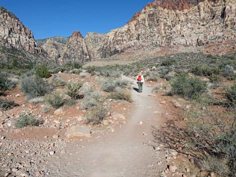 Hiker continuing toward the canyon (view W) |
 Trail turns up towards Pine Creek Canyon (view W) |
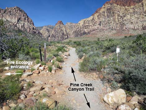 Entrance to Fire Ecology Loop Trail (view W) |
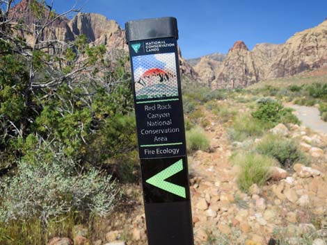 Fire Ecology Loop Trail sign (view W) |
 Sign: Entrance to Fire Ecology Trail (view W) |
 Exit from Fire Ecology Loop Trail (view W) |
 Fire Ecology Loop Trail sign (view W) |
 Looking back at trail junction sign (view E) |
 Pine Creek Canyon Trail approaching Dales Trail junction (view W) |
 Pine Creek Canyon Trail approaching Dales Trail junction (view NW) |
 Pine Creek Canyon Trail at Dales Trail (view N) |
 Opposite Dales Trail, notice old concrete structures on left (view W) |
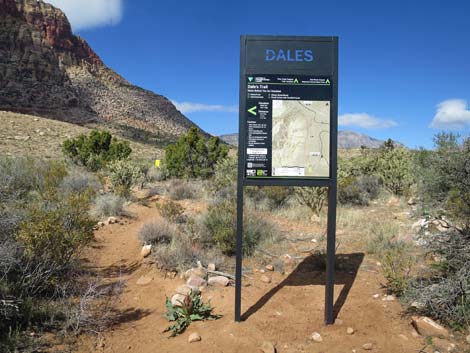 Sign: Dales Trail (view N from Pine Creek Canyon Trail) |
 Burn area on north side of trail (view W) |
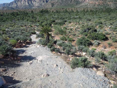
 Stone stairs take hikers onto a bench above the wash (view W) |
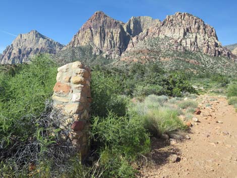
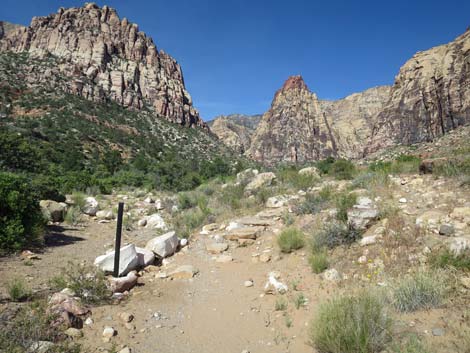
 Marker post along rocky section of trail (view W) |
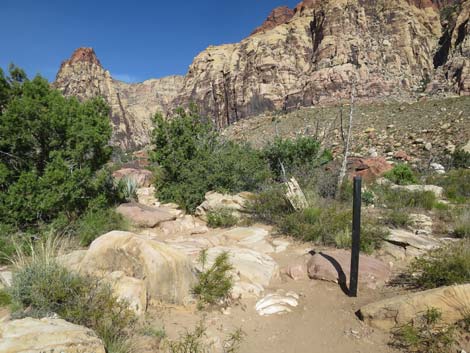
 Hiker approaching first Ponderosa Pine along trail (view W) |
 The trail returns closer to the wash (view W) |
 Burn area on north side of trail (view NE) |
 Ponderosa Pine along trail (view W) |
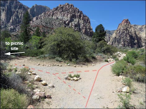 Trail junction to shady tree picnic spot (view W) |
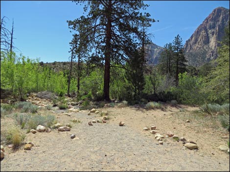 Shade tree picnic spot (view W) |
 Birdwatching at the shady tree picnic spot (view SW) |
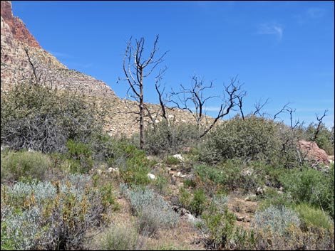 Burn area on north side of trail (view N) |
 Burn area on north side of trail (view NE) |
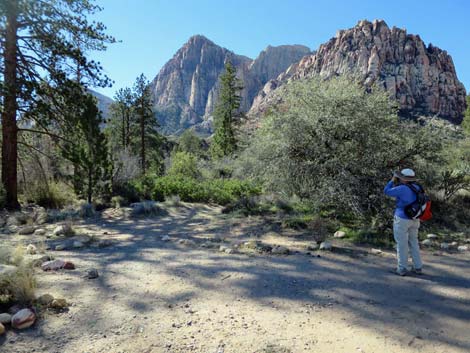
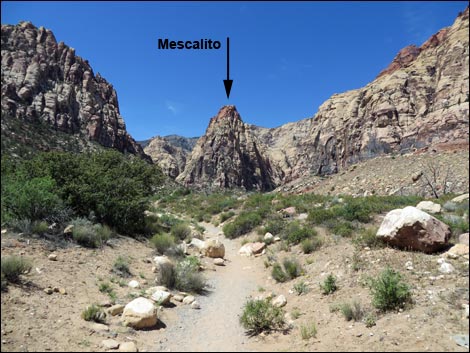 Mescalito Peak looming ahead (view W) |
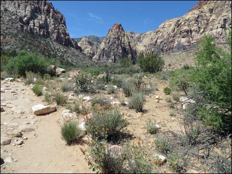
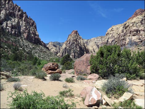 Pine Creek Canyon Trail (view W) |
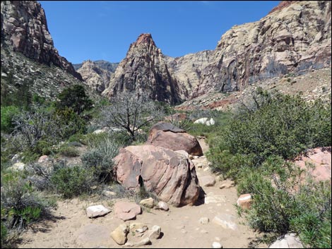 Pine Creek Canyon Trail (view W) |
 Hiker approaching the Wilson Homesite (view W) |
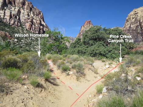 Unmarked trail junction to Wilson Homesite (view W) |
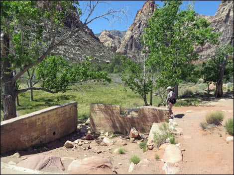 Hiker visiting Wilson Homesite (view W) |
 Pine Creek Canyon Trail passing Wilson Homesite turnoff (view W) |
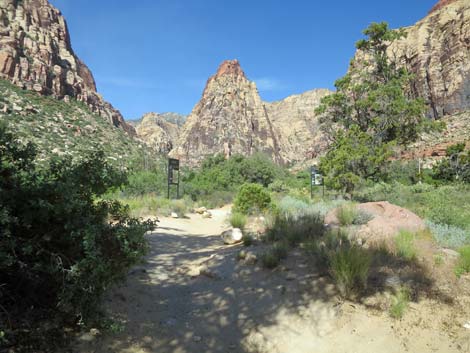
 Pine Creek Canyon Trail approaching trail junction (view W) |
 Pine Creek Canyon Trail ends at trail junction (view W) |
 Knoll Trail turns left at junction (view W) |
 Knoll Trail at trail junction (view S) |
 Pine Creek Loop Trail continues straight at junction (view W) |
 Pine Creek Loop Trail at junction (view W) |
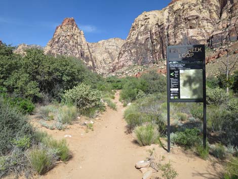
 Sign: Pine Creek Loop (view W) |
 More to come ... |
Table 1. Hiking Coordinates Based on GPS Data (NAD27; UTM Zone 11S). Download Hiking GPS Waypoints (*.gpx) file.
| Wpt. | Location | UTM Easting | UTM Northing | Elevation (ft) | Point-to-Point Distance (mi) | Cumulative Distance (mi) |
|---|---|---|---|---|---|---|
| 01 | Pine Creek Trailhead | 637417 | 3999122 | 3,988 | 0.00 | 0.00 |
| 02 | Pine Creek Wash | 637357 | 3998843 | 3,923 | 0.20 | 0.20 |
| 03 | Fire Ecology Start | 637185 | 3998820 | 3,962 | 0.11 | 0.31 |
| 04 | Fire Ecology End | 637139 | 3998808 | 3,976 | 0.04 | 0.35 |
| 05 | Trail Junction, Dales | 636965 | 3998718 | 3,980 | 0.13 | 0.48 |
| 06 | Wilson Homesite | 636507 | 3998532 | 4,030 | 0.34 | 0.82 |
| 07 | Trail Junction, Pine Creek Loop | 636477 | 3998548 | 4,030 | 0.03 | 0.85 |
| 01 | Pine Creek Trailhead | 637417 | 3999122 | 3,988 | 0.85 | 1.70 |
Happy Hiking! All distances, elevations, and other facts are approximate.
![]() ; Last updated 240330
; Last updated 240330
| Hiking Around Red Rocks | Hiking Around Las Vegas | Glossary | Copyright, Conditions, Disclaimer | Home |