Hiking Around Las Vegas, Red Rock Canyon National Conservation Area
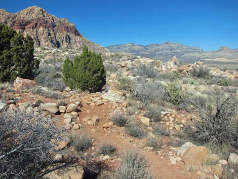
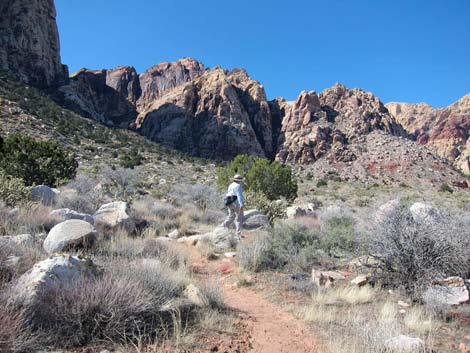
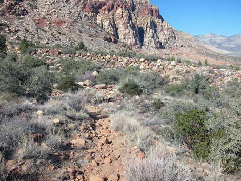
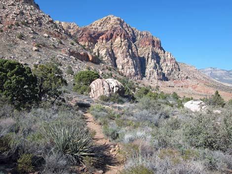
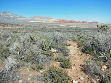
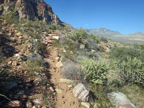
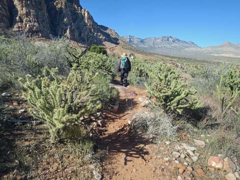
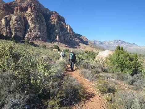
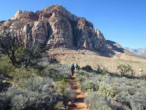
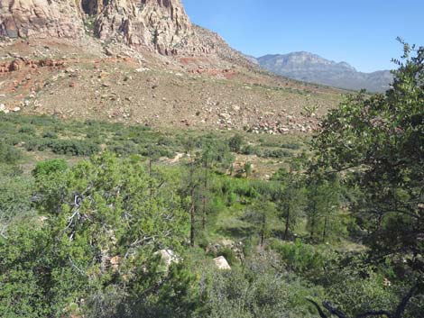
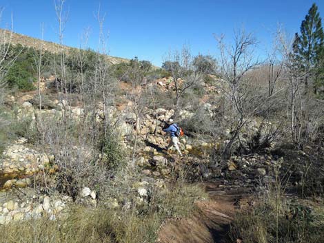
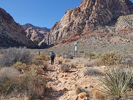 Oak Creek Canyon Trail approaching Knoll Trail (view SW) |
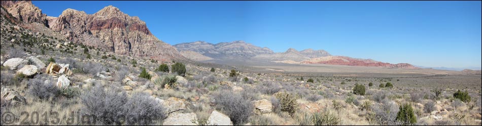
Overview The Knoll Trail is a 1.8-mile segment of the Escarpment Route that runs through open Mojave Desert Scrub along the base of the Wilson Cliffs. This segment runs beneath Rainbow Mountain and connects the Oak Creek Canyon Trail with the Arnight Trail and the Pine Creek Trail. The Knoll Trail also is part of the Rainbow Mountain Loop and runs just outside the Rainbow Mountain Wilderness Area. The Knoll Trail is fairly easy with little elevation gain, but it should not be considered a separate hike, rather it is simply a portion of a longer hike because other trails are required to get to and from it. Here the Knoll Trail is described as starting at the Oak Creek Canyon Trail and running north along the base of Rainbow Mountain to the Pine Creek Trail. For photos of the trail in the other direction, see Knoll Trail Southbound. Link to map. Link to BLM Georeference PDF map file. |
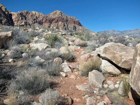
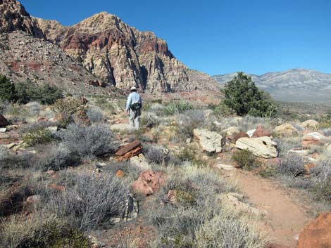
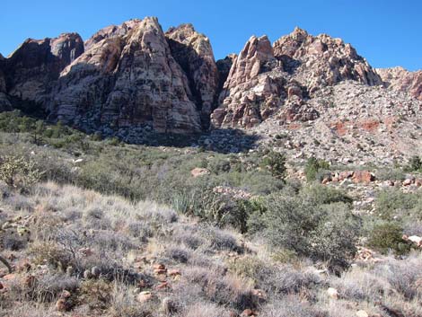
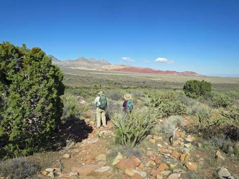
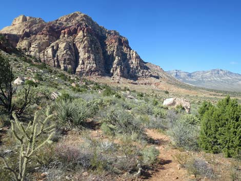
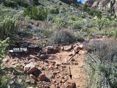
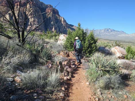
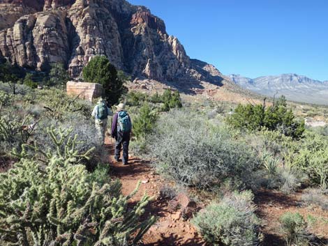
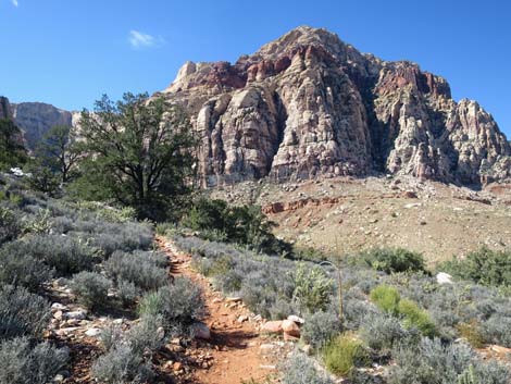
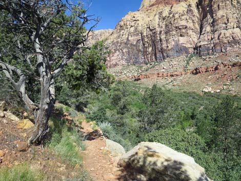
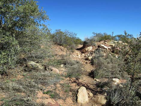
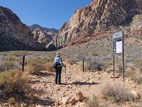 Oak Creek Canyon Trail at Knoll Trail (view SW) |
Watch Out Other than the standard warnings about hiking in the desert, ...this is a safe and easy, but rocky trail, so watch your step and don't twist an ankle. Watching your step, however, is difficult because the Wilson Cliffs, Rainbow Mountain and Bridge Mountain in particular, just seem to get taller, more vertical, and more spectacular the closer you get, and you will want to watch the scenery rather than your feet. Using trekking poles is a good idea. While hiking, please respect the land and the other people out there, and try to Leave No Trace of your passage. Also, even though this is a short hike, be sure to bring what you need of the 10 Essentials. Getting to the Trailhead This hike is located along the Scenic Loop Road in Red Rock Canyon National Conservation Area, about 1 hour west of Las Vegas. Drive out to Red Rocks, pay the fee, and then drive most of the way around the Scenic Loop Road to the Oak Creek Canyon Trailhead, located at the end of Oak Creek Canyon Road. |
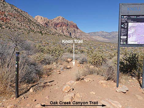
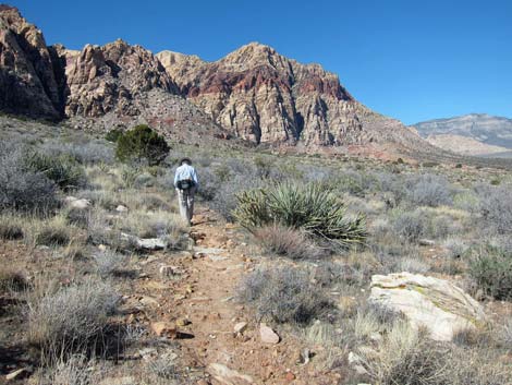
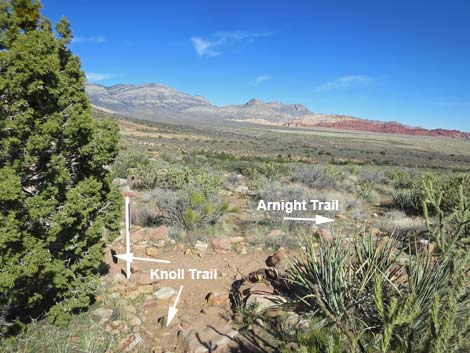
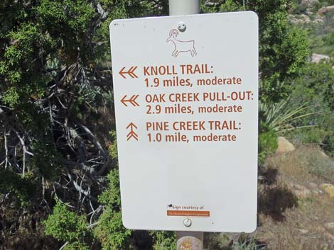
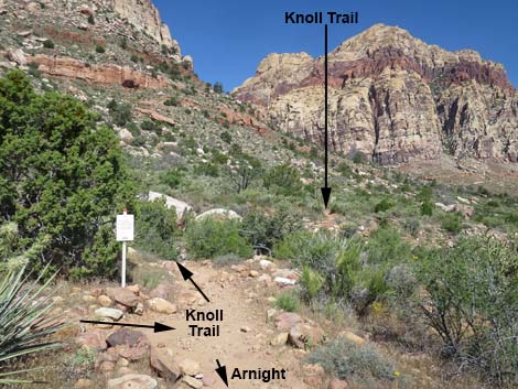
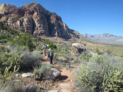
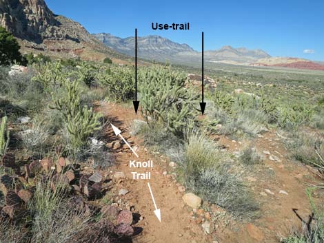
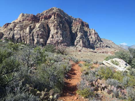
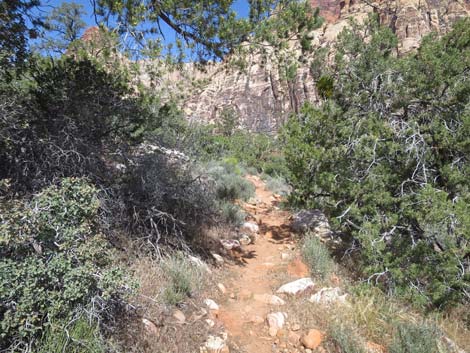
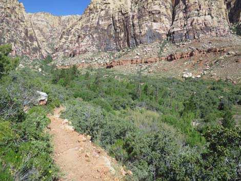
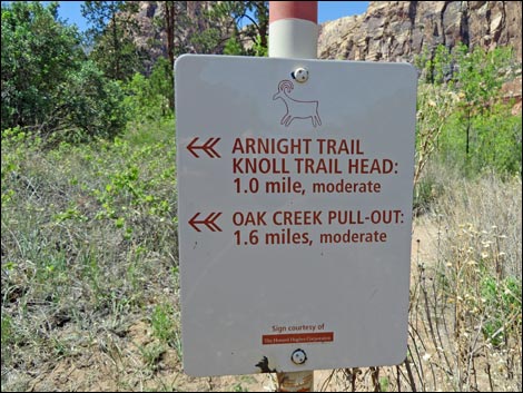
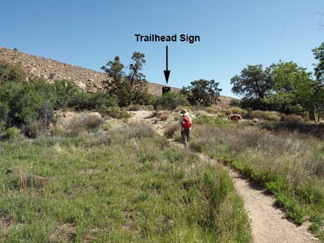
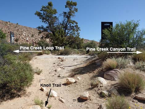
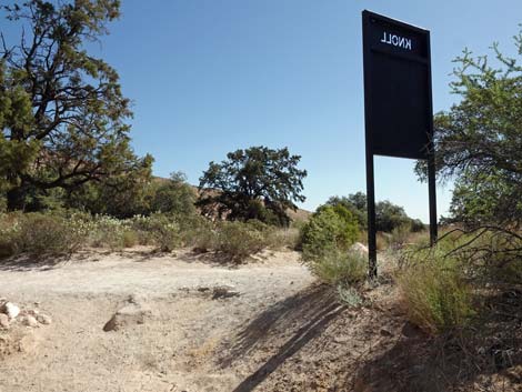
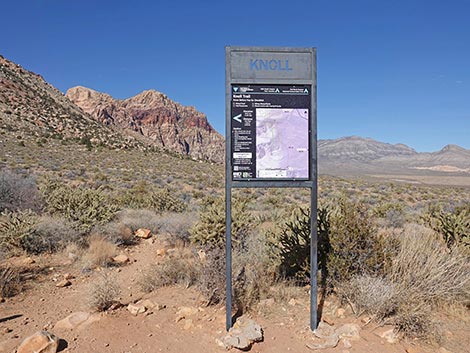 Knoll Trail sign (view N from Oak Creek Canyon Trail) |
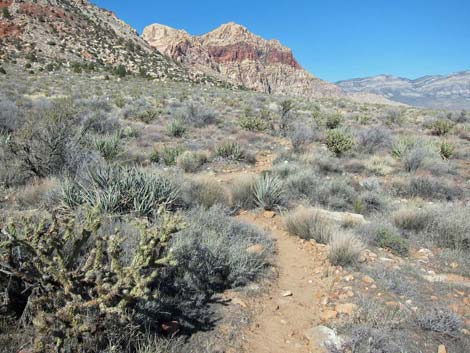
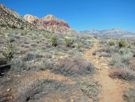
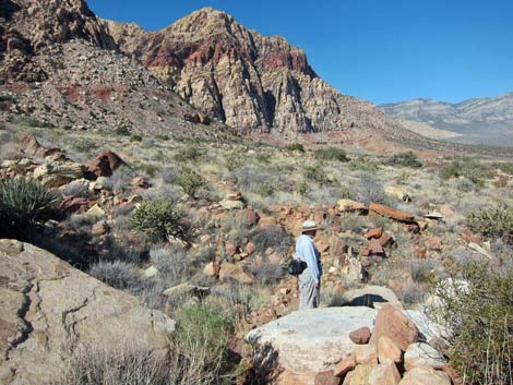
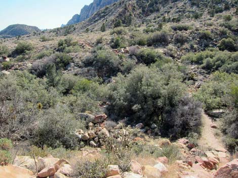
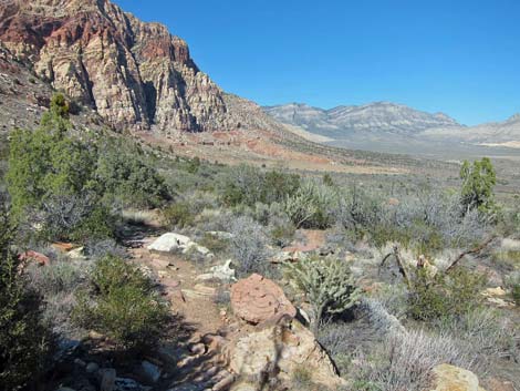
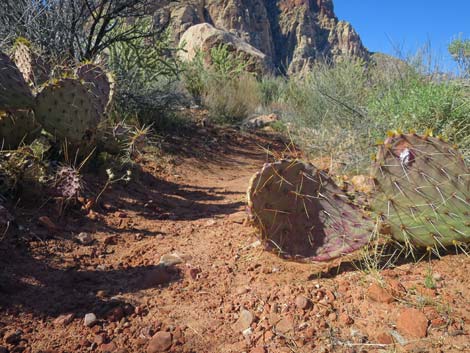
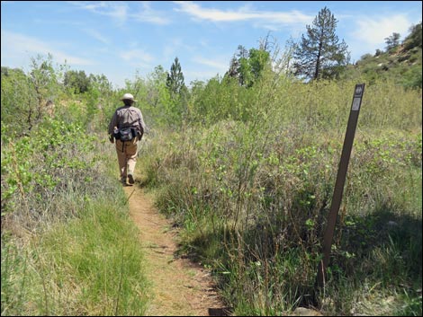
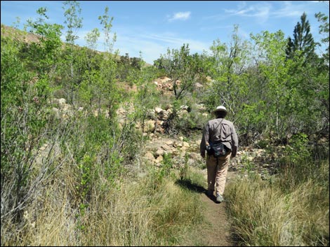
The Hike From the Oak Creek Canyon trailhead (Table 1, Waypoint 01), hikers must first walk southwest on the Oak Creek Canyon Trail for about 0.8 miles, passing the unsigned Middle Oak Creek Trail (Wpt. 02) along the way. The Knoll Trail junction (Wpt. 03), which branches off to the right (north), is marked with a sign.The Knoll Trail runs north winding among boulders and shrubs, and passing little washes that come down the bajada, but staying more-or-less on the contour. Along this part of the trail, closer to the cliffs, the trail runs across a rocky hillside where the vegetation is fairly robust and diverse, and includes a diverse assemblage of species, including blackbrush, buckhorn cholla, Mojave yucca, Utah juniper, California buckwheat, prickly pear cactus, paperbag bush, and bunchgrasses. After about 0.5 miles, the trail crosses a little ridge (Wpt. 04) with nice views in all directions that are not blocked by the low-growing vegetation. There are many small boulders atop the little ridge that make for a nice place to stop for lunch. |
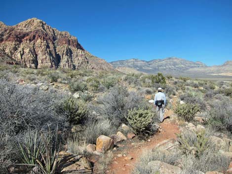
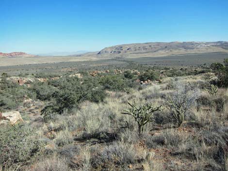
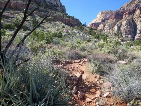
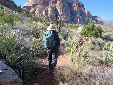
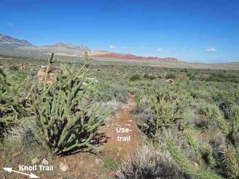
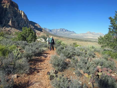
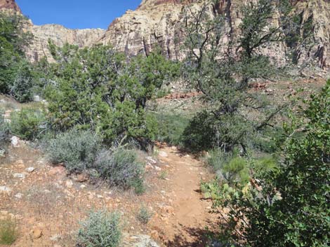
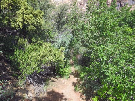
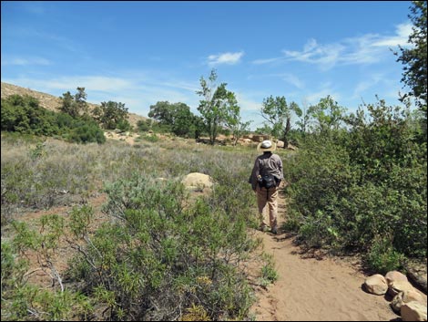
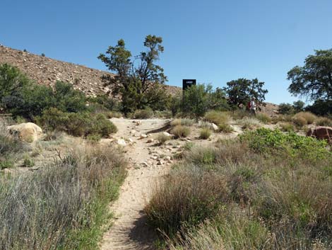
 Knoll Trail (view N from Oak Creek Canyon Trail) |
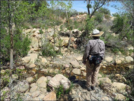
While resting, watch or listen for white-tailed antelope squirrels (often confused with chipmunks). These little squirrels often sit up in the bushes or in buckhorn cholla where they watch for predators and other squirrels. Also watch for the various species of birds that occur out here (e.g., Juniper Titmouse, Western Bluebird, Woodhouse's Scrub-Jay, Common Raven, and House Finch). On warmer days, hikers should also see side-blotched lizards scurrying among the rocks and bushes. These lizards grow to about 6 inches long and have a little black spot in their armpit (the “side blotch”); during the breeding season, males get dozens little blue spots on their back. From the little ridge, the trail runs north, then bends northwest and climbs the bajada (this is the only "steep" section of trail). After about 0.5 miles, the trail reaches edge Juniper Canyon Wash (Wpt. 05), which is the highest point on the Knoll Trail. There are thick stands of shrub live oak and Utah Juniper in the wash, and this is another good place to stop and listen for birds. |
 |
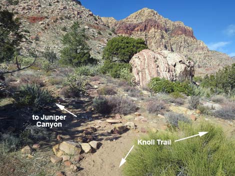
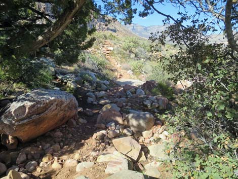
The trail seems to end on the edge of the wash, but the trail continues down the boulders into the wash. Across the wash, a nice set of stone stairs lead out the other (north) side. After crossing the wash, the trail runs slightly downhill for about 0.2 miles to a T-intersection (Wpt. 06) in front of a strikingly beautiful sandstone boulder with juniper trees all around. There is no sign, but the Knoll Trail turns northeast (right) and down the hill, while one of the use-trails into Juniper Canyon heads up the hill. After another 0.1 miles or so, the Knoll Trail ends at a T-intersection with the Arnight Trail (Wpt. 07). |
 |
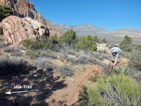
This is the end of the Knoll Trail. From the Knoll-Arnight junction, hikers can turn northwest (left) and use the Arnight Trail to hike over to the Pine Creek Trail (about 0.5 miles). If going that way, it is about 1.4 miles to the Pine Creek Trailhead. Otherwise, turn southeast (right) and use the Arnight Trail to return to the Oak Creek Canyon Trailhead (about 1.2 miles). From the Knoll-Arnight trail junction, the Knoll Trail continues northwest (left), immediately dropping into and crossing a gully, then staying more-or-less on the contour as it runs north. In this area, a few Singleleaf Pinyon Pines join the mix of trees. About 120 yards (straight line) north of the Knoll-Arnight trail junction, a well-used use-trail branches off to the left (Wpt. 04). For hikers going north, this isn't a problem because the use-trail goes the wrong way, but for hikers going south, it is hard to tell which is the correct trail. Going either way, just stay to the east on the trail. |
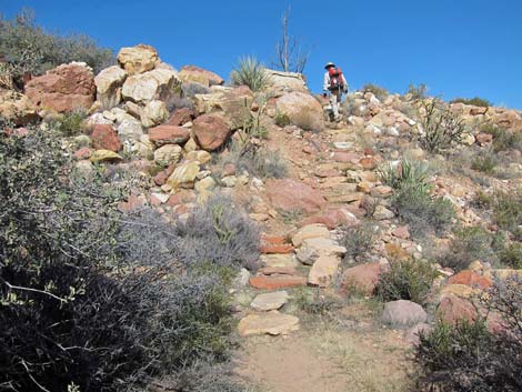
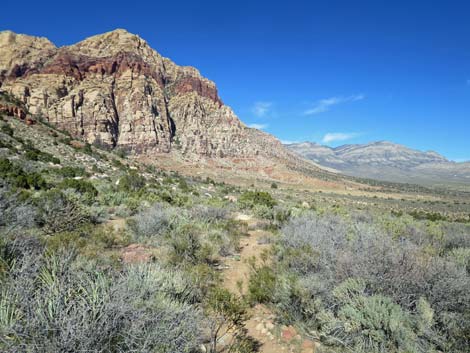
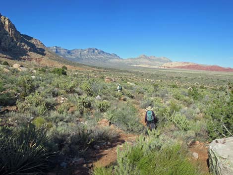
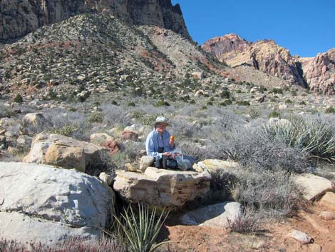 High point: nice spot for lunch (view NW) |
Continuing north, the trail gets to the edge of Pine Creek Wash (great views), then turns to the west and cuts steeply down across the hillside towards Pine Creek, dropping more than 100 vertical feet. At the bottom of the hill, about 0.5 miles north of the Arnight-Knoll trail junction, the Knoll Trail reaches a trail intersection and merges with the Pine Creek Trail (Wpt. 08). Staying right, the trail bends northeast and runs down to the edge of Pine Creek (Wpt. 09). There are lots of cattail, rushes, willow, and rabbitbrush in addition to ponderosa pine and shrub live oak at the creek crossing. |
 Knoll Trail (view N) |
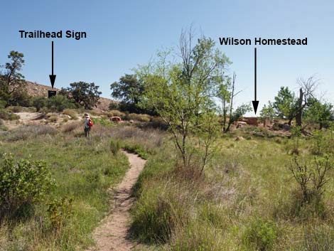
Across Pine Creek, the trail climbs the bank and enters Mr. Horace Wilson's old homestead. Initially, the trail runs across Mr. Wilson's garden area, which except for Yerba Santa, is still mostly clear of shrubs after all these years. Across the garden area, the foundation of the old cabin comes into view as do the remnants of the orchard. Crossing the open area, the Knoll Trail ends at a trail junction with the Pine Creek Trail (Wpt. 10). While here, visit the homesite where Mr. Wilson built his house in the early 1920s. He lived here for about 10 years and planted a big garden and an orchard. Only the foundation of the house and some fruit trees remain. He left the canyon in 1933 and moved to the big city (Las Vegas). Hikers can turn back towards the Oak Creek Road Trailhead, hike the Pine Creek Canyon Loop Trail, or pick up the Pine Creek Trail by the home site (foundation) and walk out to the Pine Creek Trailhead. |
 |
 |
 |
 |
 Knoll Trail (view N) |
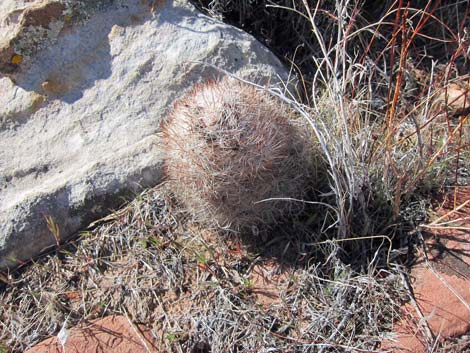 Small Desert Spiny Star cactus |
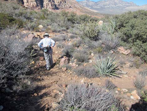
 Hiker crossing a gully (view N) |
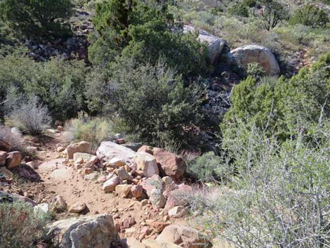
 Rocky trail |
 Juniper Wash (view W, upstream) |
 Juniper Wash (view E, downstream) |
 Hikers on stairs exiting Juniper Wash (view N) |
 Looking back across Juniper Wash (view S) |
 Rocky trail |
 Hiker at use-trail junction to Pine Creek Trailhead |
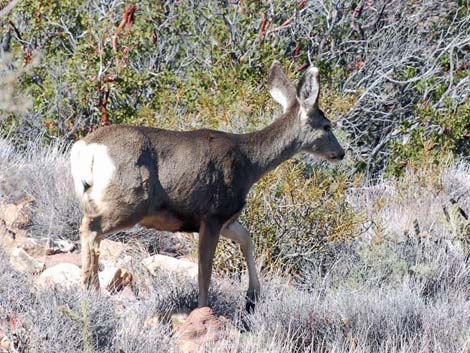 Female Mule Deer slinking off into the bush |
 Approaching striking boulder at Juniper Trail junction (view N) |
 Knoll Trail at Juniper Trail junction (view N) |
 Hiker passing Knoll--Juniper trail junction (view N) |
 Knoll Trail descending across the hillside (view N) |
 Knoll Trail descending across the hillside (view NE) |
 Hikers at Knoll-Arnight trail junction (view ENE) |
 Knoll Trail at Arnight Trail (view NE; west side of triangle intersection) |
 Sign at trail junction (view W) |
 Knoll Trail departing Arnight Trail (view NE) |
 From the trail junction, the trail continues north (view N) |
 From the trail junction, the trail dips into a gully (view NW) |
 Knoll Trail crosses the gully (view N) |
 Knoll Trail climbs out of the gully (view N) |
 Knoll Trail traverses gentle terrain (view N) |
 Knoll Trail passes lots of sandstone boulders (view N) |
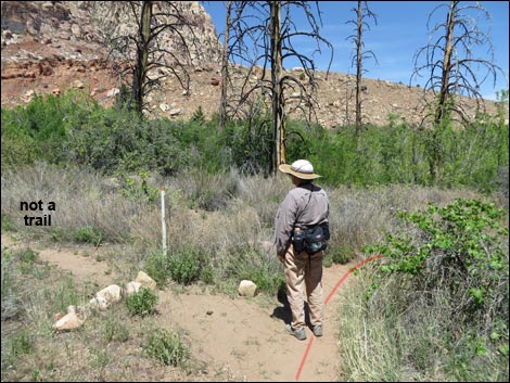
 Knoll Trail approaching junction with use-trail (stay right; view N) |
 Knoll Trail at junction with use-trail (stay right; view N) |
 Lots of foot hazards in this area (view N) |
 Lots of shoulder and arm hazards in this area (view N) |
 Densely vegetated desert area with grand views (view NE) |
 Lots of Buckhorn Cholla bordering the trail (view N) |
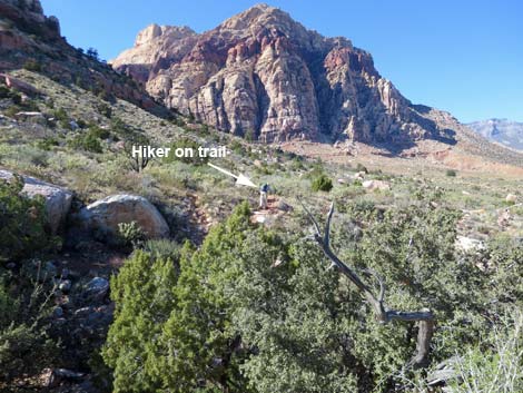
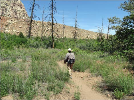
 Hiker on Knoll Trail (view N) |
 Knoll Trail approaching a use-trail (view N) |
 Use-trail (view NE from Knoll Trail) |
 Knoll Trail passes lots of sandstone boulders (view N) |
 Lots of Buckhorn Cholla bordering the trail (view N) |
 More grand views along the Knoll Trail (view N) |
 Knoll Trail passes lots of sandstone boulders (view N) |
 Knoll Trail approaching Pine Creek Canyon (view N) |
 Knoll Trail turning into Pine Creek Canyon (view NW) |
 Knoll Trail turning into Pine Creek Canyon (view NW) |
 Knoll Trail starting down into Pine Creek Canyon (view NW) |
 Wilson Homestead (view NW from Knoll Trail) |
 Knoll Trail running down into Pine Creek Canyon (view NW) |
 Knoll Trail nearing the bottom of Pine Creek Canyon (view W) |
 Knoll Trail entering the tunnel of trees (view W) |
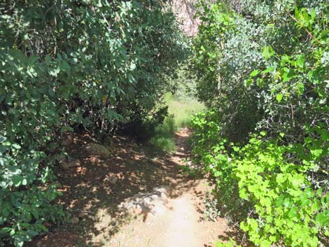 The Tunnel of Trees (view NW) |
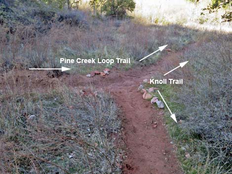 Knoll Trail at Pine Creek Loop Trail (view W) |
 Hiker on Knoll-Pine Creek Loop trail (view NE) |
 Junction with old trail (now closed due to washouts) (view N) |
 Sign at junction with old trail (view W) |
 Hiker approaching Pine Creek crossing (view E) |
 Hiker at Pine Creek crossing (view NE) |
 Hiker at Pine Creek (view NE) |
 Hiker across Pine Creek (view NE) |
 Knoll Trail climbs back to get out of the wash (view NE) |
 Hiker entering Mr. Wilson's garden plot (view E) |
 Knoll-Pine Creek Loop trail crossing Mr. Wilson's garden (view NE) |
 Knoll-Pine Creek Loop trail crossing Mr. Wilson's garden (view NE) |
 Approaching end of Knoll-Pine Creek Loop trail (view NE) |
 End of Knoll-Pine Creek Loop Trail (view NE) |
 End of Knoll-Pine Creek Loop Trail (view NE) |
 More to come ... |
Table 1. Hiking Coordinates Based on GPS Data (NAD27; UTM Zone 11S). Download Hiking GPS Waypoints (*.gpx) file.
| Wpt. | Location | UTM Easting | UTM Northing | Elevation (ft) | Point-to-Point Distance (mi) | Cumulative Distance (mi) |
|---|---|---|---|---|---|---|
| 01 | Oak Creek Trailhead | 638109 | 3997129 | 3,933 | . | . |
| 02 | Middle Oak Creek Jct | 637340 | 3996372 | 4,021 | . | . |
| 03 | Knoll-Oak Creek Trail Jct | 637160 | 3996333 | 4,104 | 0.00 | 0.00 |
| 04 | Low Ridge | 637163 | 3997017 | 4,062 | 0.47 | 0.47 |
| 05 | Juniper Canyon Wash | 636749 | 3997543 | 4,171 | 0.50 | 0.97 |
| 06 | Use-Trail Jct | 636649 | 3997794 | 4,181 | 0.21 | 1.18 |
| 07 | Arnight Trail Jct | 636701 | 3997956 | 4,138 | 0.12 | 1.30 |
| 08 | Pine Creek Loop Trail Jct | 636346 | 3998456 | 4,067 | 0.46 | 1.76 |
| 09 | Pine Creek Crossing | 636397 | 3998488 | 4,052 | 0.04 | 1.80 |
| 10 | Pine Creek Trail Jct | 636477 | 3998548 | 4,030 | 0.07 | 1.87 |
Happy Hiking! All distances, elevations, and other facts are approximate.
![]() ; Last updated 250206
; Last updated 250206
| Hiking Around Red Rocks | Hiking Around Las Vegas | Glossary | Copyright, Conditions, Disclaimer | Home |