Backroads Around Las Vegas
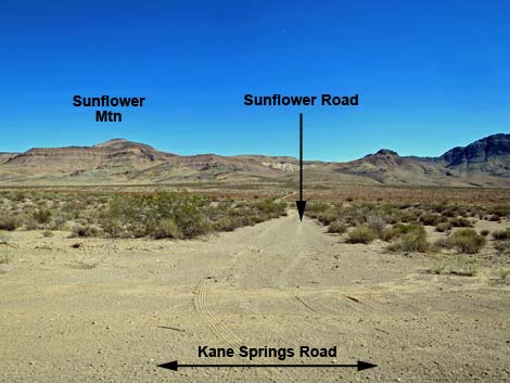 Sunflower Road (view SE from Kane Springs Road) |
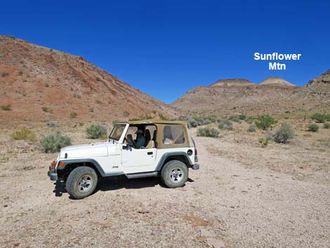
Overview Sunflower Road runs 2 miles between Kane Springs Road on the northwest end to the edge of the Meadow Valley Range Wilderness Area on the southeast end. The road is a two-track, but it runs fairly straight and easy. The road runs across a broad, sandy wash in the bottom of the valley, so while 2WD-HC vehicles probably can make it across, 4WD would be safer. Sunflower Road provides access to the Meadow Valley mountains, the Meadow Valley Range Wilderness Area, and the trailhead for Sunflower Mountain and the White Hills. Link to map. |
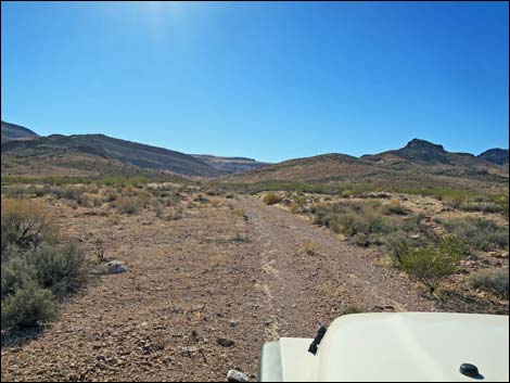
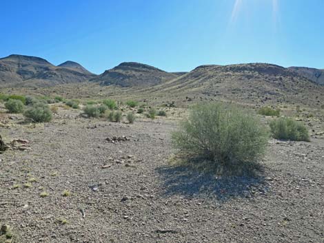
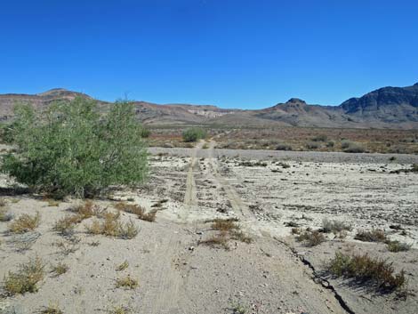 Sunflower Road crosses a broad, sandy wash (view SE) |
Watch Out Other than the standard warnings about driving in the desert, ... this road is pretty safe, but it is subject to washouts. Under normal conditions, the road is fine except for the broad, sandy wash, which could require 4WD. The road gets little use, so don't expect help to find you. Be sure that your vehicle is in good working condition, carry plenty of water, and pack a few snacks. Always drive carefully using your own good judgment. While out, please respect the land and the other people out there, and try to Leave No Trace of your passage. This road goes into remote areas, so be sure to bring the 10 Essentials. Cell phones don't work. |
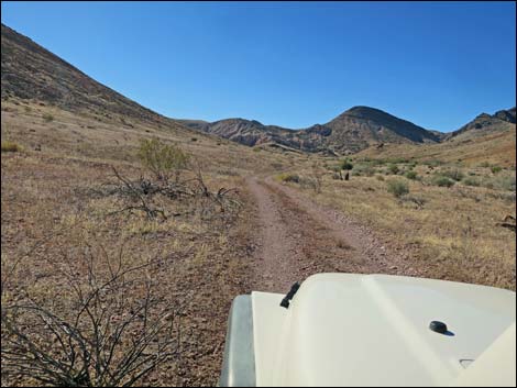
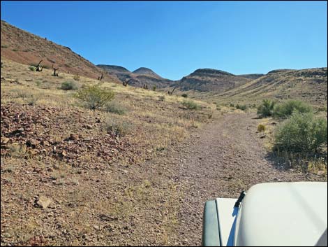
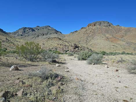
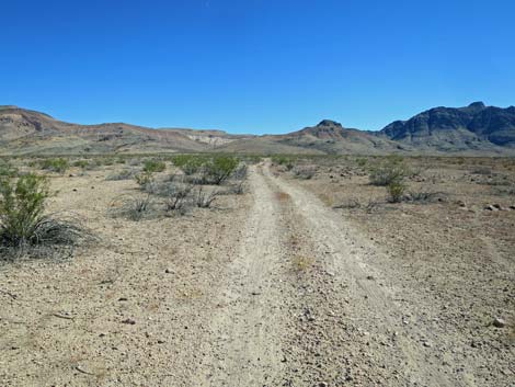 Sunflower Road climbs gently towards the mountains (view SE) |
Getting to the Road Kane Springs Road is located in Lincoln County, east of Highway 93 and a bit north of Coyote Springs. From Las Vegas, drive north on Interstate-15 to Highway 93. Drive north on Highway 93 for 31 miles to Highway 168 (east to Moapa), then continue north another 11 miles (42 miles total) to Kane Springs Road on the right. Watch for a sign for the village of Elgin. Turn right onto Kane Springs Road and drive northeast for 14.0 miles to Sunflower Road, on the right. |
 |
The Road From Kane Springs Road (Table 1, Site 1839), the two-track Sunflower Road heads southeast as it drops gradually to cross a broad, sandy wash. Across the wash, the road climbs gradually out of the bottom of Kane Springs Valley towards the mountains. By about 1.0 miles out, the road enters a canyon as it heads into the mountains, and at about 1.8 miles out, it passes an old fence line. Just past the fence, the road bends left to head more due east. In another 250 yards, the road ends (1.9 miles out) at a wide turn-around on the edge of the Meadow Valley Range Wilderness Area (Site 1841), and a wilderness boundary sign sits just ahead. |
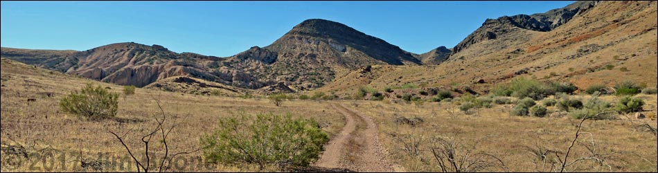
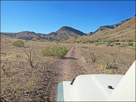
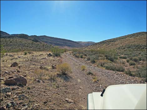 Sunflower Road climbs gently towards the mountains (view SE) |
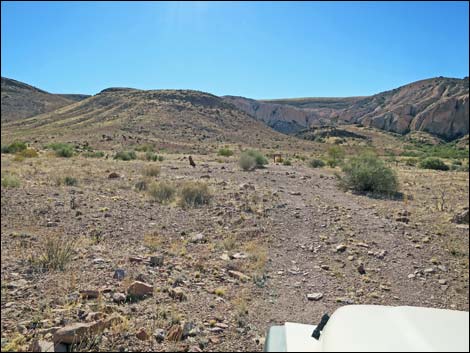
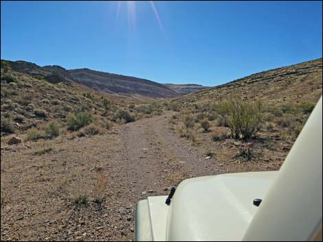 Eventually Sunflower Road climbs into a canyon (view SE) |
 |
 |
 |
 |
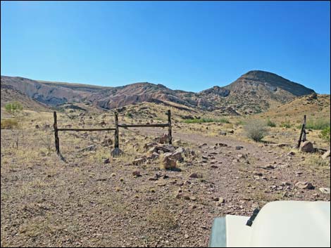 Sunflower Road passes an old fenceline (view S) |
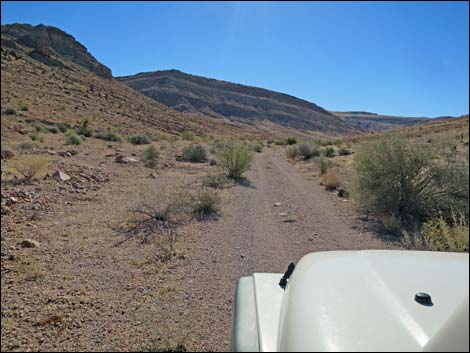
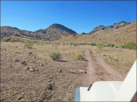
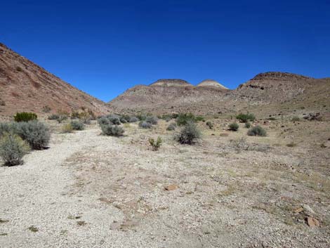
 Sunflower Road climbs gently into the mountains (view E) |
 Sunflower Road approaching the trailhead (view E) |
 Trailhead parking (view NE) |
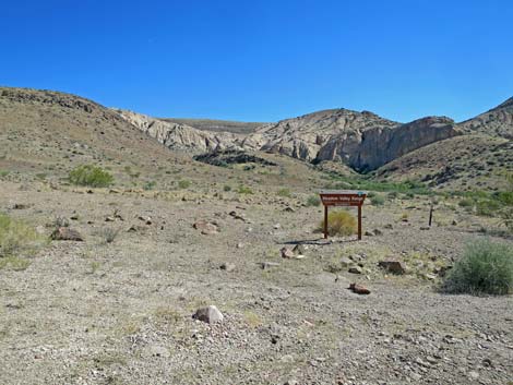 Meadow Valley Range sign (view SE from trailhead) |
 Meadow Valley Range Wilderness Area boundary sign (view SE) |
 Trailhead scenes |
 Trailhead scenes |
 Trailhead scenes |
 Trailhead scenes |
Table 1. Highway Coordinates based on GPS Data (NAD27; UTM Zone 11S). Download Highway GPS waypoints (gpx) file.
| Site | Location | UTM Easting | UTM Northing | Latitude (N) | Longitude (W) | Elevation (ft) |
|---|---|---|---|---|---|---|
| 1839 | Kane Springs Road at Sunflower Mountain Road | 696861 | 4106736 | 37.08808 | 114.78513 | 3,114 |
| 1841 | Sunflower Peak Trailhead | 698860 | 4104550 | 37.06797 | 114.76324 | 3,462 |
Happy Hiking! All distances, elevations, and other facts are approximate.
![]() ; Last updated 240330
; Last updated 240330
| Backroads | Hiking Around Las Vegas | Glossary | Copyright, Conditions, Disclaimer | Home |