Hiking Around Las Vegas, Red Rock Canyon National Conservation Area
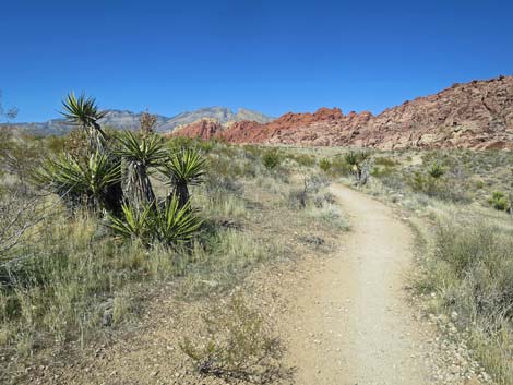
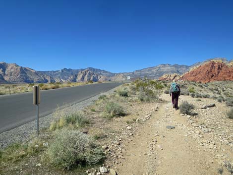
 Grand Circle-Moenkopi Trailhead (view W) |
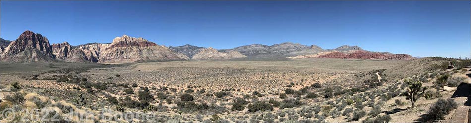
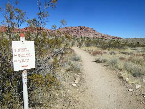
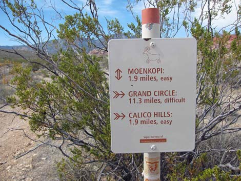
Overview The Grand Circle Trail is an 11.6-mile loop that starts at the Visitor Center and roughly parallels the Scenic Loop Road. From the Visitor Center, the trail runs up along the base of the Calico Hills to Sandstone Quarry, cuts out across the desert to White Rock Spring, the highpoint on the loop trail, then follows the White Rock Loop trail down towards Willow Springs, and finally heads back down along Red Rock Wash to the Visitor Center. The trail passes red sandstone crags and rock art, all the while traversing open desert with grand vistas in all directions. Parts of the trail aren't laid out as well as one might wish, but the trail makes for a good winter workout in the desert. Presented here are details of the Grand Circle Loop Trail from the Visitor Center Trailhead to Calico I Trailhead. For an overview of the entire trail, see Grand Circle Overview. Link to map. Link to BLM Georeference PDF map file. |
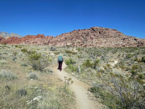
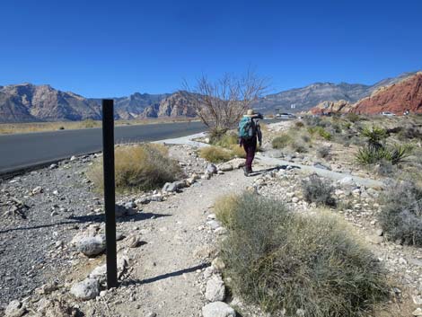
 Trail junction (view W) |
Watch Out Other than the standard warnings about hiking in the desert, ...this hike is fairly safe, even for kids, but there are some short, steep scrambles through rocky areas near the Calico II parking area. Always be extra careful when you get high enough to fall and hurt yourself. Most of this trail is relatively well groomed, relatively free of rocks, and makes for easy walking. Be careful crossing the paved roads. While hiking, please respect the land and the other people out there, and try to Leave No Trace of your passage. Also, even though this is a short hike, be sure to bring what you need of the 10 Essentials. |
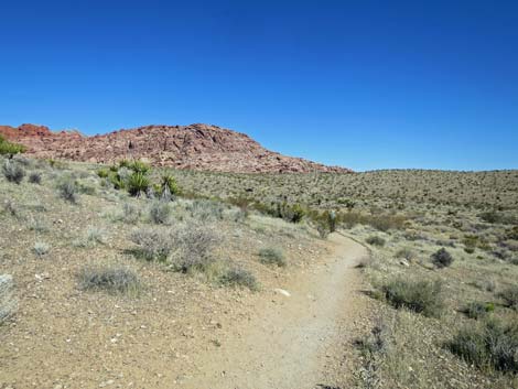
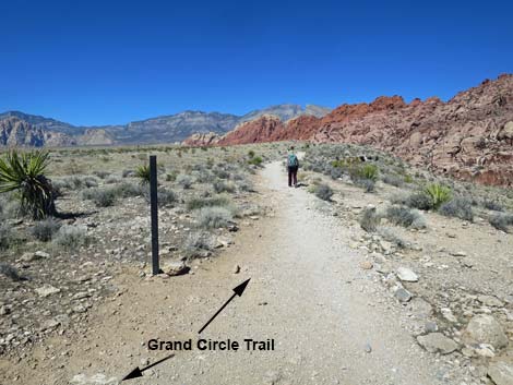
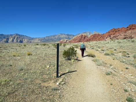
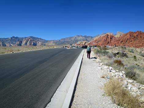
 Trail junction: Grand Circle splits off to make a loop (view NW) |
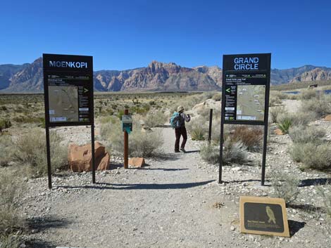
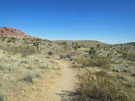
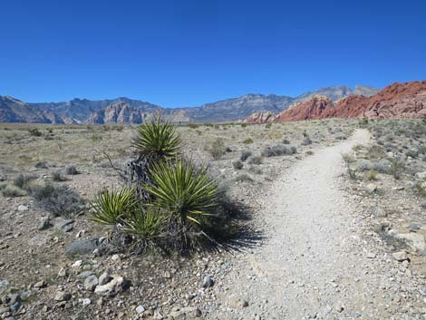
The Hike Visitor Center to Calico I (1.2 miles)From the Visitor Center Trailhead (Table 1, Waypoint 01), which is just past several picnic tables, a memorial, and information signs, the trail runs southwest down the gentle grade to a trail junction where it merges with an old road (Wpt. 02). The trail bends right and runs northwest along the old road for about 70 yards. Just past the weather station (on the right), the trail reaches another junction (Wpt. 03). Here (Wpt. 03), the Moenkopi and Grand Circle trails turn right and run north out around the west edge of the Visitor Center complex. The vegetation along here is dominated by low-growing, widely spaced creosote bush, some red brome grass, and few other species. The trail runs north past the Visitor Center, then drops into a wash. In the wash, notice the difference that a little extra water makes in the desert. Here the creosote and grass are fairly dense and robust compared to those growing on the flats above. |
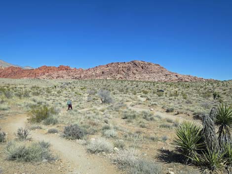
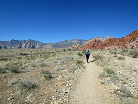
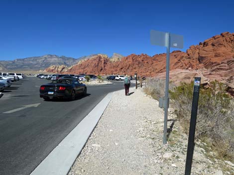
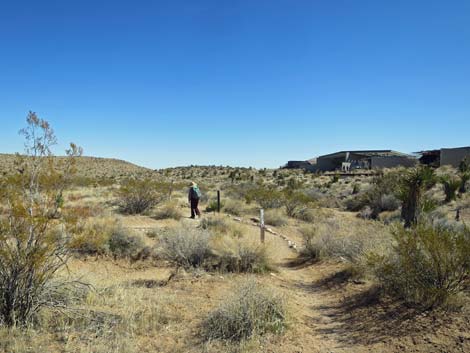 Trail eventually wraps around behind the visitor center (view E) |
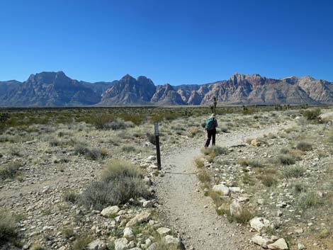
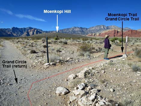
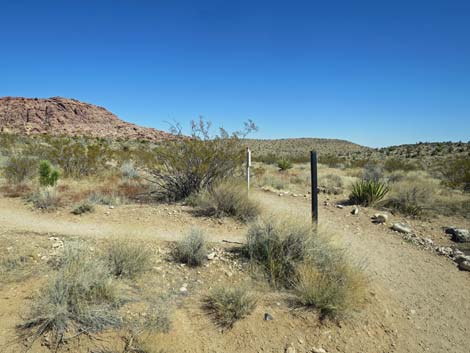
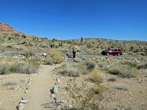
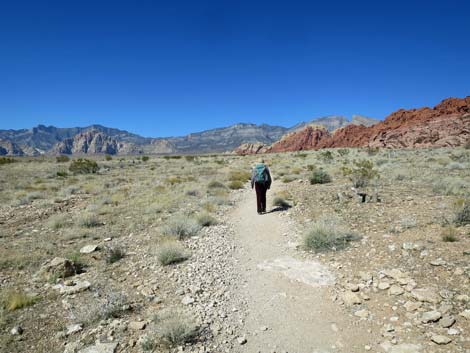
Just across the wash (Wpt. 04), the Moenkopi Trail branches off to the left at a signed trail junction and heads up the hill to the north. The Grand Circle Trail stays right (straight) and runs east above the wash heading towards the Calico Hills. The trail runs east across gentle hillsides, crosses the Scenic Loop Road (Wpt. 05), and climbs moderately up the side of a low ridge to a signed junction with the Calico Hills Trail (Wpt. 06). The Grand Circle Trail turns north and runs concurrent with the Calico Hills Trail. The trail continues north on a low ridge between Calico Hills Wash to the right and the Scenic Loop Road to the left, and provides nice views of the Red Rock Cliffs to the west. The road is not close enough to be bothersome, and in places the trail runs just over the ridge so hikers can't quite see the road. Just south of the Calico I parking, the trail runs up along the edge of Scenic Loop Road and turns into a sidewalk between the pavement and a fence leading into the trailhead area. Watch for a Calico Hills Trailhead sign on the east edge of parking area (Wpt 07). |
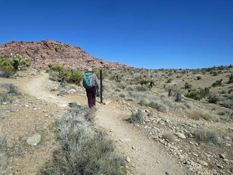
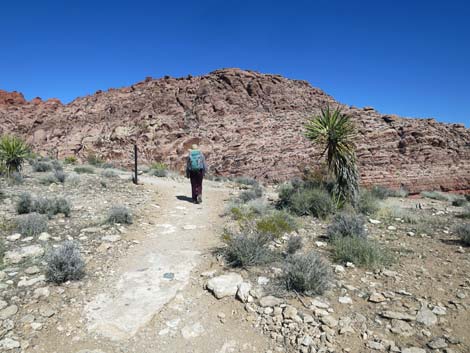
 Trail junction; stay right (view E) |
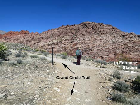
 Grand Circle Trail continues past the trail sign (view E) |
 Trail junction sign (view E) |
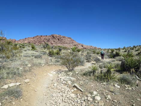
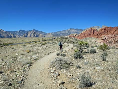
 Grand Circle Trail continues towards the toe of Calico Hills (view E) |
 Grand Circle Trail runs across gentle terrain (view E) |
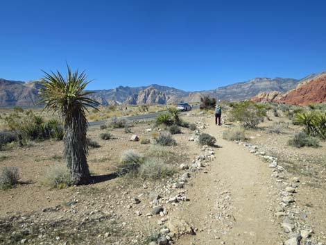
 Grand Circle Trail approaching Scenic Loop Road (view E) |
 Stop for traffic when crossing Scenic Loop Road (view E) |
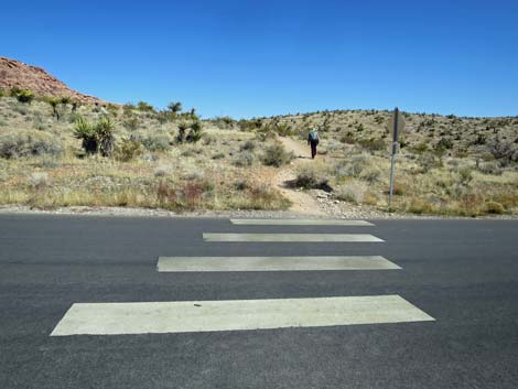 Grand Circle Trail crosses Scenic Loop Road (view E) |
 Grand Circle Trail continues past Scenic Loop Road (view E) |
 Hiker arriving at trail junction; stay left (view E) |
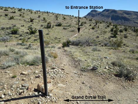 Trail to Entrance Station (view S from Grand Circle Trail) |
 Grand Circle Trail continues up the hillside (view NE) |
 Grand Circle Trail continues up the hillside (view NE) |
 Hiker arriving atop a ridgeline (view NE) |
 Grand Circle Trail at trail junction; stay left (view NE) |
 Grand Circle Trail continues along ridgetop (view NE) |
 Last of the shrubs before entering the Loop Fire zone (view N) |
 Hiker on broad hillside in the Loop Fire zone (view N) |
 Most Mojave Yucca and Joshua Trees died in the Loop Fire (view N) |
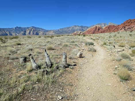
 Trail marker (view N) |
 Hiker passing out of the Loop Fire zone (view N) |
 The trail held as a fireline in this area (view N) |
 Hiker beyond the Loop Fire; this tall Mojave Yucca survived (view N) |
 The Grand Circle Trail runs up along the Scenic Loop Road (view N) |
 Hiker passing a trail marker (view N) |
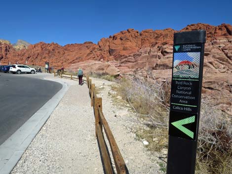
 Grand Circle Trail approaching Calico Hills I Trailhead (view N) |
 Grand Circle Trail arriving at Calico Hills I Trailhead (view N) |
 Grand Circle Trail continues through Calico Hills I Trailhead (view N) |
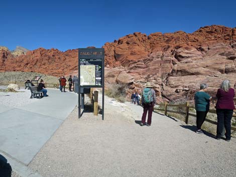 Grand Circle Trail at Calico Hills I trailhead sign (view N) |
 More to come ... |
Table 1. Hiking Coordinates based on GPS Data (NAD27; UTM Zone 11S). Download Hiking GPS Waypoints (*.gpx) file.
| Wpt. | Location | UTM Easting | UTM Northing | Elevation (ft) | Point-to-Point Distance (mi) | Cumulative Distance (mi) |
|---|---|---|---|---|---|---|
| 01 | VC Trailhead | 641502 | 3999882 | 3,780 | 0.00 | 00.00 |
| 02 | Trail Junction, Old Road | 641375 | 3999812 | 3,773 | 0.13 | 00.13 |
| 03 | Trail Junction, Moenkopi Start | 641320 | 3999833 | 3,743 | 0.04 | 00.16 |
| 04 | Trail Junction, Moenkopi | 641402 | 3999997 | 3,769 | 0.14 | 00.30 |
| 05 | Road Crossing #1 | 641617 | 4000271 | 3,743 | 0.24 | 00.54 |
| 06 | Trail Junction, Calico Hills Trail | 641720 | 4000523 | 3,814 | 0.19 | 00.73 |
| 07 | Calico I Trailhead | 641260 | 4001097 | 3,951 | 0.48 | 01.21 |
Happy Hiking! All distances, elevations, and other facts are approximate.
![]() ; Last updated 240330
; Last updated 240330
| Hiking Around Red Rocks | Hiking Around Las Vegas | Glossary | Copyright, Conditions, Disclaimer | Home |