Hiking Around Las Vegas, Red Rock Canyon National Conservation Area
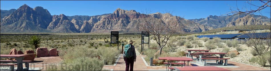
 Visitor Center Trailhead during summer (view W) |
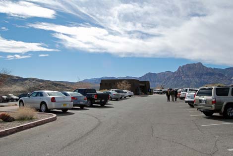
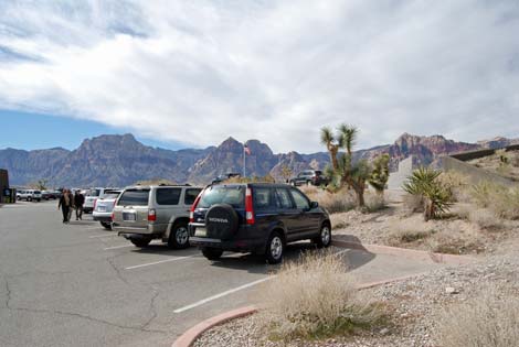
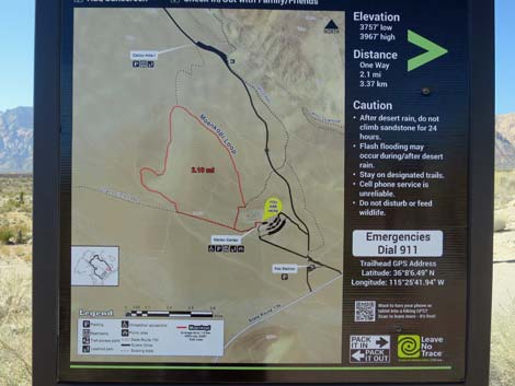
The Visitor Center Trailhead is located along the Scenic Loop Road in Red Rock Canyon National Conservation Area, about 30 minutes west of Las Vegas. From town, drive out to Red Rocks. From West Charleston at the Scenic Loop Road (Table 1, Site 0519), turn right and drive north for 0.2 miles to the pay station (Site 0855). Pay the fee, then drive forward and turn right onto the Scenic Loop Road. Drive north towards the Visitor Center, which is visible on the hill ahead. Turn left into the Visitor Center parking area. Park here; this is the trailhead (Site 0389). The trail starts at the southwest corner of the Visitor Center building (from the parking lot facing the building, to the far left). This trailhead provides access to hikes in the Visitor Center and Calico Hills areas, including access to the sandstone cliffs and several miles of relatively flat walking. Trails: Calico Hills Trail, Entrance Station to Red Spring Trail, Grand Circle Trail, Moenkopi Hill Trail, Visitor Center Area Loop Trails. Link to trailhead map. |
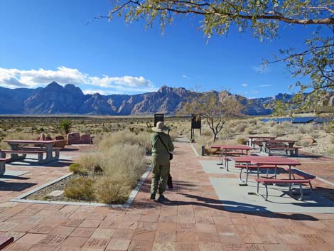
 Visitor Center parking (view SW) |
 Visitor Center parking (view SW) |
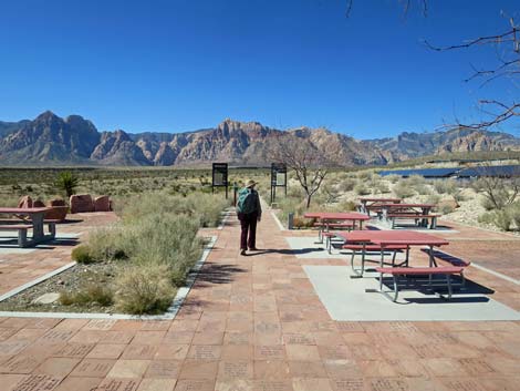 Visitor Center Trailhead |
 Visitor Center Trailhead |
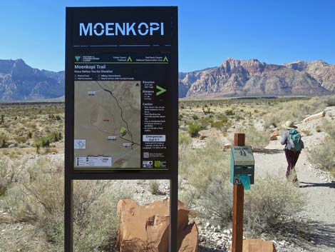 Moenkopi Trail Trailhead (view W) |
 Moenkopi Trail Trailhead sign (view W) |
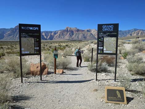
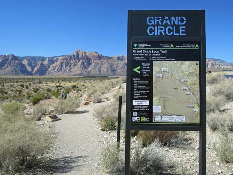 Grand Circle Trail Trailhead (view W) |
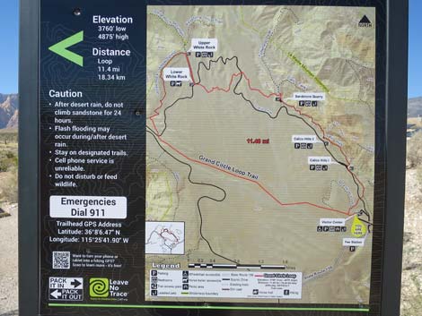 Grand Circle Trail Trailhead sign (view W) |
Table 1. Highway Coordinates (NAD27; UTM Zone 11S). Download Highway GPS Waypoints (*.gpx) file.
| Site # | Location | Latitude (N) | Longitude (W) | UTM Easting | UTM Northing | Elevation (feet) | Verified |
|---|---|---|---|---|---|---|---|
| 0389 | Visitor Center Parking | 36.13514 | 115.42608 | 641621 | 3999884 | 3,790 | Yes |
| 0519 | Charleston at Scenic Loop Entrance | 36.13161 | 115.42048 | 642131 | 3999501 | 3,681 | Yes |
| 0855 | Scenic Loop Entrance Station | 36.13252 | 115.42282 | 641918 | 3999598 | 3,682 | Yes |
Happy Hiking! All distances, elevations, and other facts are approximate.
![]() ; Last updated 240330
; Last updated 240330
| Hiking Around Red Rocks | Hiking Around Las Vegas | Glossary | Copyright, Conditions, Disclaimer | Home |