Hiking Around Las Vegas, Mount Charleston Area
Overview | Cold Creek Trailhead | Wood Spring | McFarland Peak | Bristlecone Trailhead
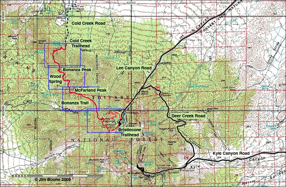
Note: Roads are black (solid = paved; dashed = unpaved). Trails and routes are red (solid = main; dashed = adjacent or alternate). Map based on USGS 7.5-minute topo map. North is at the top. UTM Grid is NAD27 CONUS.
This map shows an approximation of the trail based on GPS waypoints, not an actual GPS track.
Happy Hiking! All distances, elevations, and other facts are approximate.
![]() ; Last updated 181012
; Last updated 181012
| Bonanza Trail | Hiking Around Mt. Charleston | Glossary | Copyright, Conditions, Disclaimer | Home |