Backroads Around Las Vegas, Lake Mead National Recreation Area
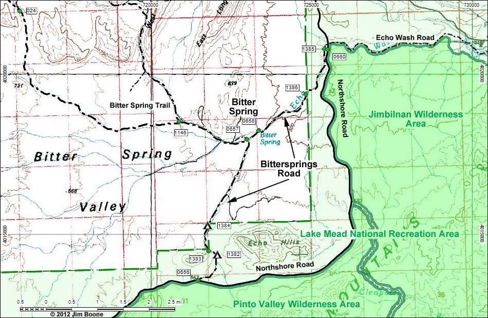
Note: Roads are black (solid = paved; dashed = unpaved). Trails and routes are red (solid = main; dashed = adjacent or alternate). Map based on USGS 7.5-minute topo map. North is at the top. Grid is UTM NAD27 CONUS. Wilderness Areas (boundaries solid green, fill dark green) based on BLM data. National Park Areas (boundaries dashed green, fill light green) based on NPS data.
Happy Hiking! All distances, elevations, and other facts are approximate.
![]() ; Last updated 121213
; Last updated 121213
| Bittersprings Road | Hiking Around Lake Mead | Glossary | Copyright, Conditions, Disclaimer | Home |