Hiking Around Las Vegas, Hiking Lake Mead NRA
 Double Negative Road at Polish Negative parking (view NE) |
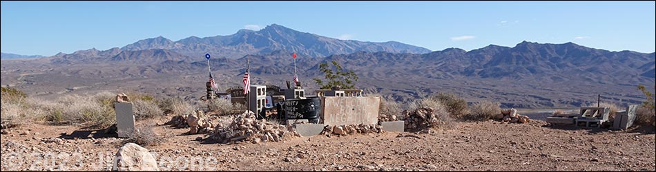
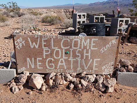
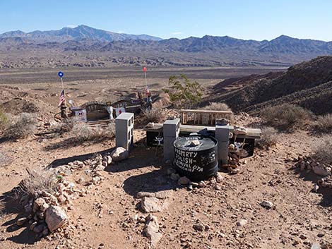
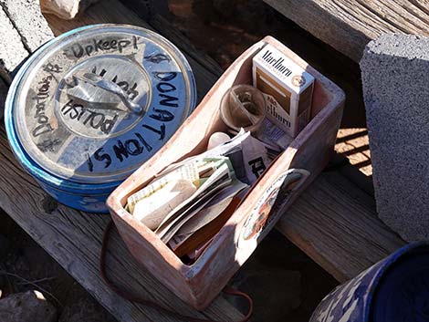
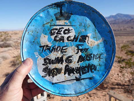
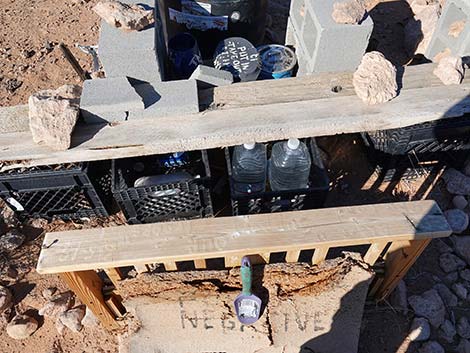
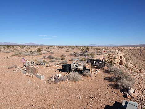
Overview Polish Negative is a land art structure on the edge of Mormon Mesa just east of Overton and overlooking the Virgin River a bit north of Lake Mead (outside Lake Mead National Recreation Area). The world-famous artist, Michael Heizer, created Double Negative (just up the road) in 1969, and Polish Negative seems to be a reaction or comment on Heizer's work. I'm not sure what to make of Polish Negative, but art is in the eye of the beholder. Whether it is a pile of junk or an art instillation, someone has put effort into creating it and the surrounding scenery is grand. Polish Negative is not a destination, but it is something odd to see while on the way to Michael Heizer's Double Negative. |
 Polish Negative (view E) |
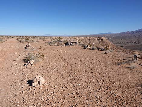
Watch Out Other than the standard warnings about hiking in the desert, ... areas near the road are fairly safe, but the edge of the mesa is not safe because things crumble with time. Access to this area requires a high-clearance vehicle or very carefully driven sedan because the access road is rocky. While out and about, please respect the land and the other people out there, and try to Leave No Trace of your passage. If visitors wander from the road, nobody will find you, so be sure to bring the 10 Essentials. |
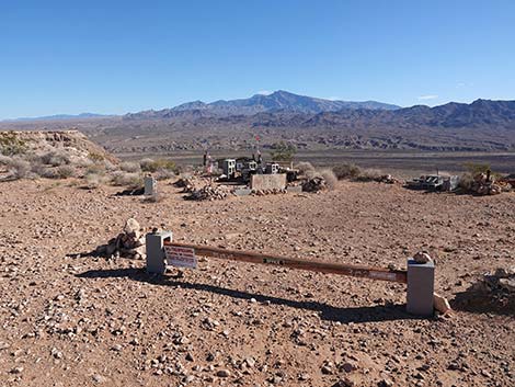
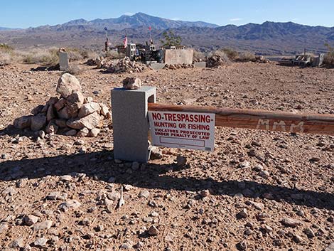 The site seems welcoming and not-so-welcoming (view E) |
Getting to Polish Negative Polish Negative is located about 1.5 hours northeast of Las Vegas. The easiest way to get there from town is to drive north on Interstate-15 to the Logandale exit (Exit 93). Exit onto Highway 169 and drive south through the towns of Logandale and Overton where gas, food, lodging, and other supplies are available. Drive south on Highway 169 for 11.1 miles to Cooper Street. Make a hard left at the Maverik Gas Station and drive north on Cooper Street for 1.1 miles. After crossing the Muddy River Bridge, the road forks. Stay right onto Mormon Mesa Road, which runs east along the south edge of the airport. Drive east on Mormon Mesa Road 5.4 miles to Double Negative Road, on the left (Google Maps calls this Carp-Elgin Road). At about 3.8 miles out, the road climbs atop Mormon Mesa. In another 2.8 miles, turn left onto Double Negative Road, a 2-track road. Drive northeast 0.8 miles to Polish Negative on the edge of the mesa. This site is about 0.6 miles south of Double Negative. There are many choices for which "road" to use, but continue northeast more-or-less along the edge of the mesa. |
 |
 |
 |
 |
 |
 |
 |
 |
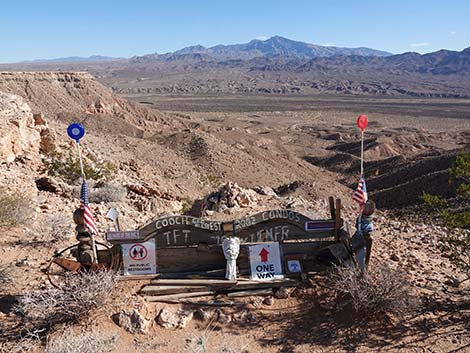
 Polish Negative (view NE) |
 More to come ... |
Happy Hiking! All distances, elevations, and other facts are approximate.
![]() ; Last updated 240326
; Last updated 240326
| Hiking Wilderness | Hiking Lake Mead | Hiking | Glossary | Copyright, Conditions, Disclaimer | Home |