Hiking Around Las Vegas, Gold Butte National Monument
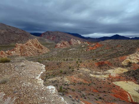 Whitney Pocket Overlook (view E into WP on a stormy day) |
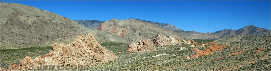
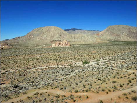
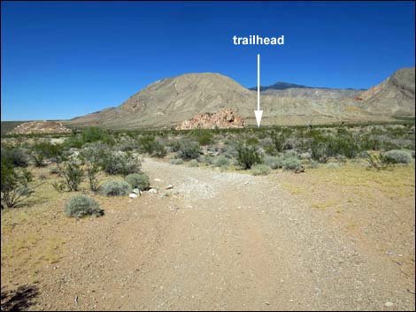
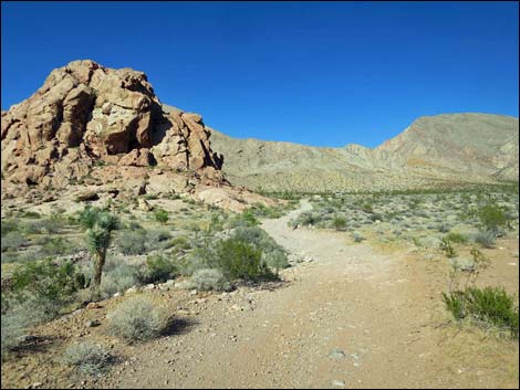
Overview The Whitney Pocket Overlook route (via Raven Ridge) starts in the First Rock Camp area and runs 3.2 miles (round trip) following gravel roads across the desert. There is no trail up the steep side of Raven Ridge, but once atop Raven Ridge, the views are surprisingly grand for a relatively low ridge. On Raven Ridge, an old road runs at mostly easy grades, past several nice overlooks to end at an overlook with great views east over the Whitney Pocket area. From the overlook, the route returns over the same route with a variation that makes a partial loop and shortens the return hike. Returning directly from the top of Raven Ridge is not a better route back to the trailhead. This route traverses Mojave Desert Scrub vegetation, passes Native American campsites and ancient rock art, and provides fairly easy access to hilltops with surprisingly grand views. Presented here are photos and a description of the return. For a detailed description of the route starting from the trailhead, including directions, maps, GPS coordinates, and photos, see Whitney Pocket Overlook. |
 Departing Whitney Pocket Overlook (view N towards trailhead) |
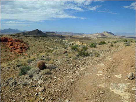
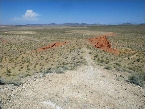
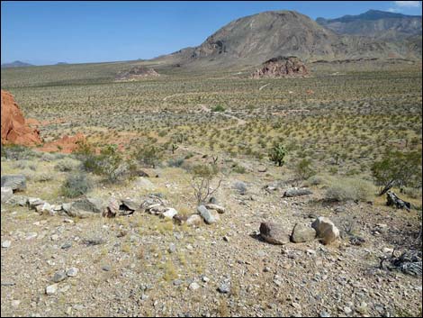
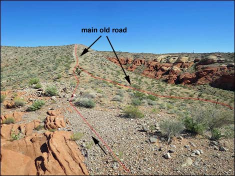
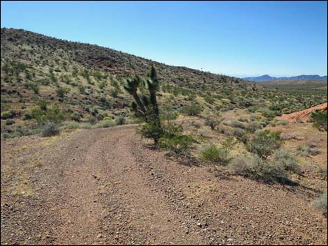
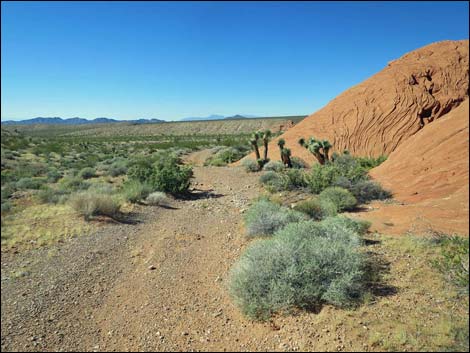
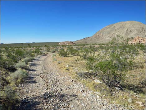
The Descent Upon departing Whitney Pocket Overlook, the route follows the old road back down the ridge. The route drops into the saddle and climbs back up the other side, then continues west-southwest, eventually passing the faint road (Wpt. 08) while remaining on the main old road. In this area, notice that the vegetation is sparse and composed mostly of only a few species. The land here only gets water from direct precipitation, and the moisture that falls quickly flows off the ridge. Compared to the broad wash below, this is very dry country. Few species can tolerate such condition, and only a few individuals of each species can survive. Look for stunted Joshua Trees, Creosote Bush, and White Bursage, some Matchweed, and even a few Whitestem Paperflower and one beautiful Cottontop Cactus. The old road eventually arrives at the top of a steep descent that bends a bit right and leads down towards the top of the red sandstone crags seen earlier from below (the crags marked with art and graffiti). |
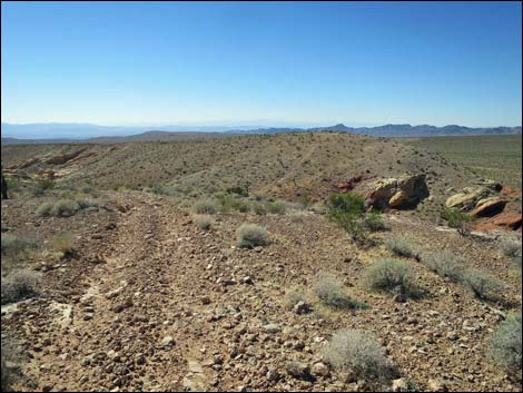
 Main old road runs down ridgeline with big views (view W) |
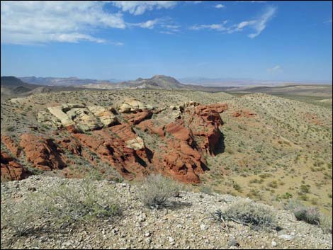
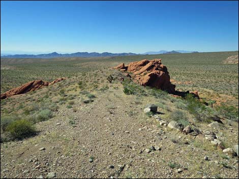
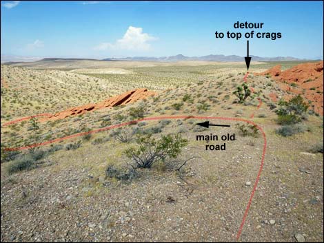
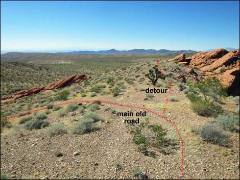
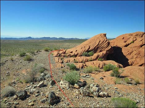
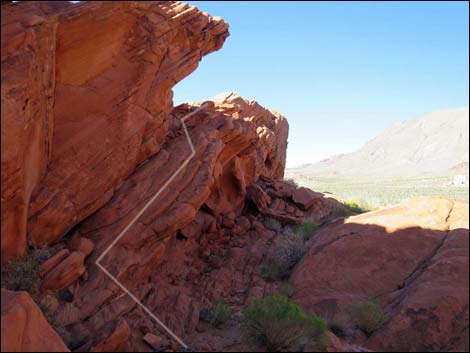
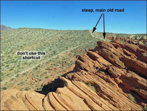
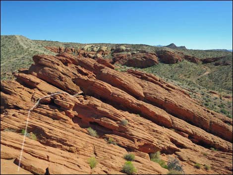
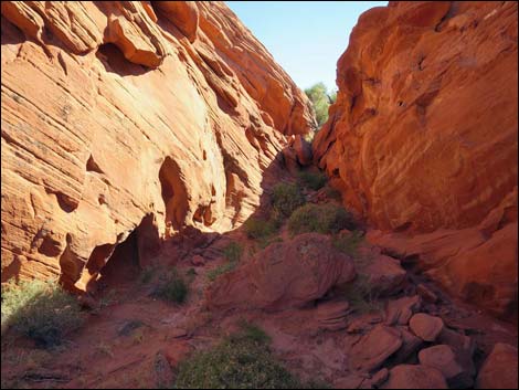
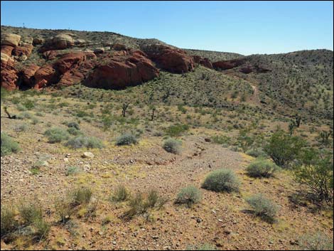
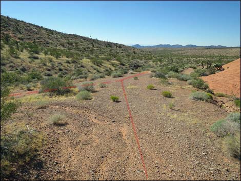
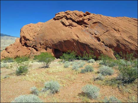
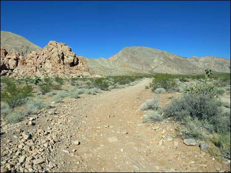
Descending the steep old road, the route passes a closed side road to the right. For hikers, this would make a shortcut to the base of the sandstone cliffs, but people are working to erase this old road, so it is better if we don't open a new use-trail down that side. Rather, the main old road continues a few yards farther northwest, then bends sharply left and drops off the side of the ridge. Before following the old road down, it is fun to continue northwest and climb out onto the sandstone crags. There are several ways to go, but the easiest way to get to the far highpoint is to stay on the gray limestone gravel as far northwest as possible. At that point, a cleft in the crag leads northeast into a narrow gorge. Climbing a ramp on the left side, hikers can get onto the top of the crags again, and then the route to the far highpoints is clear; minor 3rd-class scrambling. When ready, perhaps after lunch, hikers can return to the old road and continue the descent. Near the bottom of the hill, the road reaches a fork (Wpt. 05) where this road merges with a road on the left -- the fork to the left was the route followed while hiking outbound. |
 Main old road runs down ridgeline with big views (view W) |
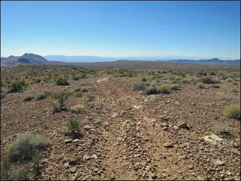
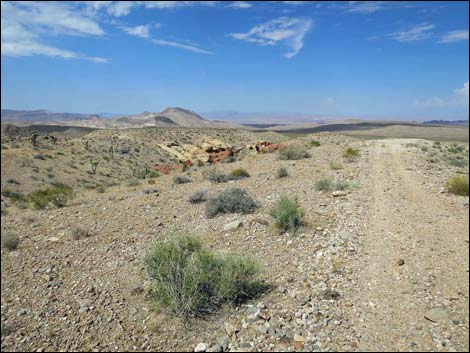
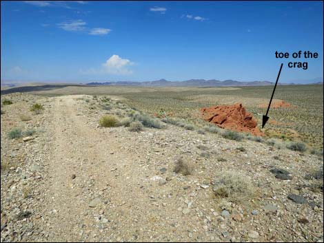
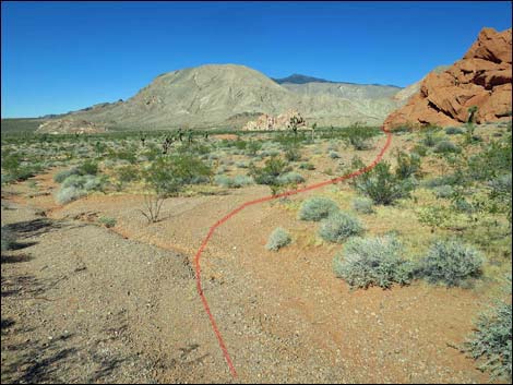
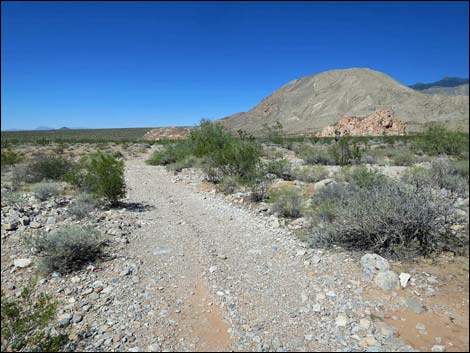
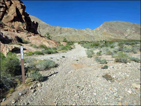
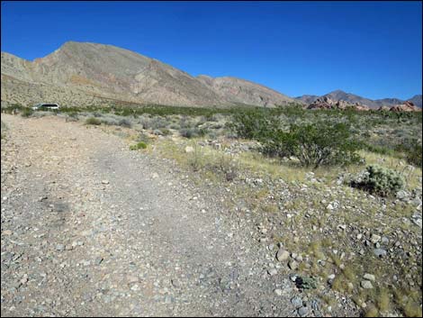
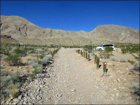
Staying right, the old road follows along the base of the sandstone crags, passing the ancient campsite in the shallow cave at the base of the rock wall, and eventually returning to the open road at the toe of the sandstone crag (Wpt. 04). From here, the route follows the roads used while hiking outbound. The route stays straight at a side road left (Wpt. 03), bends left to start out across the broad wash, and heads towards the sandstone crags in the distance to the north-northeast. The road winds left and right, but generally continues towards the crags. This road eventually merges with First Rock Campground Road (Wpt. 02) and continues northeast the short distance to the trailhead (Wpt. 01). |
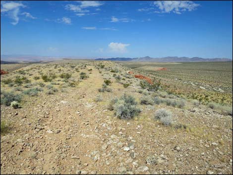
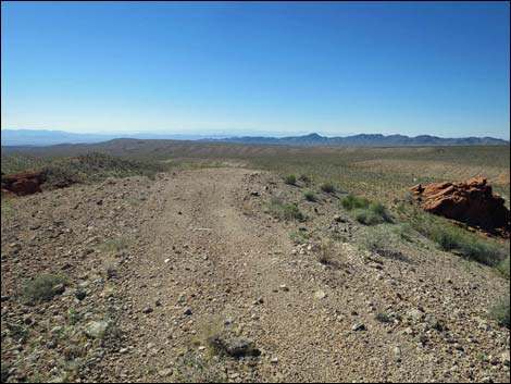
 Main old road approaching dip into saddle (view WNW) |
 Main old road approaching dip into saddle (view NW) |
 Main old road at the saddle (view NW) |
 Main old road atop the next ridgeline (view SW) |
 Main old road approaching intersection with faint old road (view SW) |
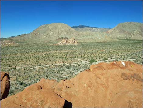
 Grand view from ridgeline (view WSW) |
 Grand view from ridgeline (view WNW) |
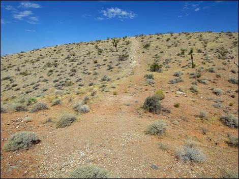
 Main old road approaching end of the ridge (view W) |
 Main old road at the end of the flat ridge (view SW) |
 Main old road dropping steeply along ridgeline (view NW) |
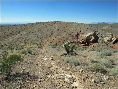
 Descending not-so-steeply towards sandstone crag |
 Rehabilitated old road (please don't use as shortcut; view N) |
 Main old road drops steeply off ridgeline (view NW towards crags) |
 Detour to top of sandstone crags (view NW) |
 Detour to top of sandstone crags (view NW) |
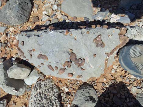 Notice fossils in the limestone boulders (view down) |
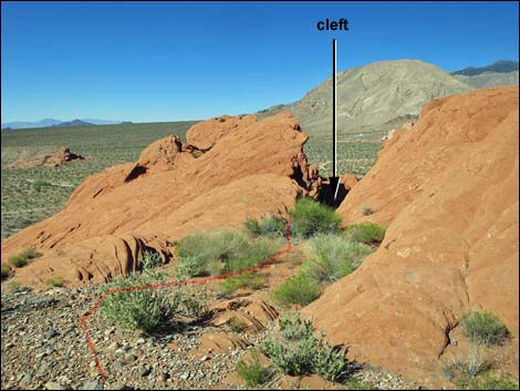 Detour to top of sandstone crags drops into cleft (view NW) |
 Route exits narrow gorge to the left (view N) |
 Approaching northern highpoint atop the sandstone crags (view N) |
 Atop the sandstone crags (view NE towards trailhead) Atop the sandstone crags (view NE towards trailhead) |
 Atop the sandstone crags (view SE towards main old road) |
 Exiting the sandstone crags (view SE) |
 Route exits back up narrow gorge (view S) |
 Beyond the cleft, the route returns to the main old road (view SE) |
 Route rejoins old main road (view SW) |
 Old main road approaching Y-intersection (view NW) |
 Old main road at Y-intersection (view NW) |
 Old main road continues downhill (view NW) |
 Passing the ancient campsite (view NE) |
 Main old road stays right at faint fork in the road (view NE) |
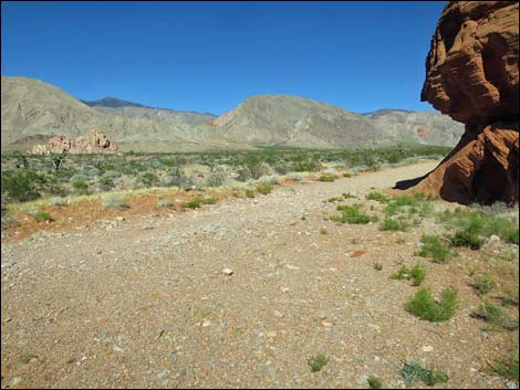
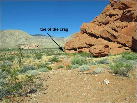 Approaching the toe of the crag (view NE) |
 Old main road returning to open road at toe of the crag (view NE) |
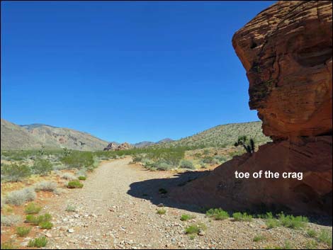 Open road at toe of the crag (view NE) |
 Road continues straight past side road (view E) |
 Bottom of the shortcut (don't use this rehabilitated old road) |
 Road bends left and drop towards broad wash (view NE) |
 Road approaching main wash (view N) |
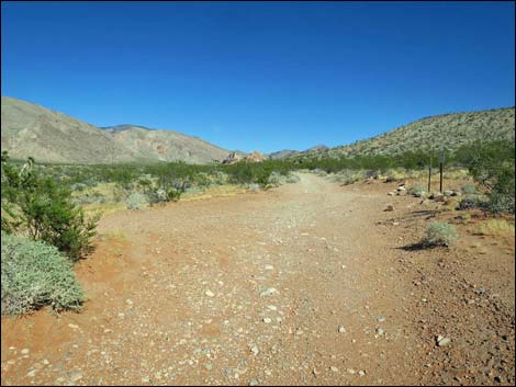
 Road winds across broad wash (view N) |
 Road winds across broad wash (view NE) |
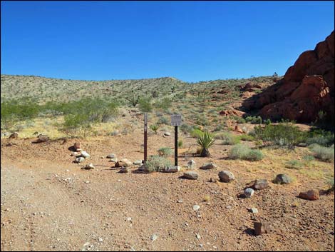
 Road approaching First Rock Campground area (view NE) |
 Returning to First Rock Campground Road (view NE) |
 Passing agave roasting pit on the right (view NE) |
 Returning to the trailhead (view NE) |
 More to come ... |
Happy Hiking! All distances, elevations, and other facts are approximate.
![]() ; Last updated 240326
; Last updated 240326
| Hiking Around Gold Butte | Hiking Around Las Vegas | Glossary | Copyright, Conditions, Disclaimer | Home |