Backroads Around Las Vegas, Gold Butte National Monument
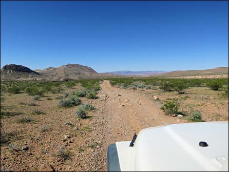
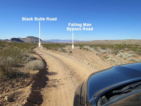 Black Butte Road at Falling Man Bypass Road (view SW) |
Overview Falling Man Bypass Road is a 1.1-mile side road off Black Butte Road that runs parallel to Black Butte Road and shares the same grand scenery. This road bypasses the Falling Man Trailhead, but it is not a better alternative to the main Black Butte Road. Link to road map or regional road map. |
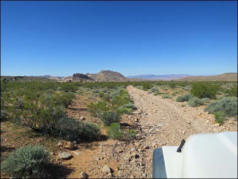 Falling Man Bypass Road (view SW) |
Watch Out Other than the standard warnings about hiking in the desert, ... this road is fairly safe, but it is out in a wild and remote area without services of any kind (no restrooms, no water, no gas, no food). Bring what you need to survive. Be prepared and be self-reliant. Someone will find you eventually if you stay on a main road, but be prepared to survive alone for a day or more on side roads. Cell phones may work in the area. While out, please respect the land and the other people out there, and try to Leave No Trace of your passage. Also, this is a remote area, so be sure to bring the 10 Essentials. |
 |
Getting to the Road Falling Man Bypass Road is located out in Gold Butte National Monument northeast of Lake Mead, about 2 hours northeast of Las Vegas. From Las Vegas, drive out to Gold Butte National Monument. Drive south on the paved Gold Butte Road for 19.7 miles to an unmarked intersection with Black Butte Road, on the right. Alternatively, from Whitney Pocket, drive back north on the paved Gold Butte Road for 1.5 miles to just past the last big sandstone crag on the left. An unmarked dirt road leaves the pavement to the left: this is Black Butte Road. Turn onto Black Butte Road and drive southwest 1.2 miles to an unmarked fork. Black Butte Road stays to the left to Falling Man, while Falling Man Bypass Road goes right. |
 |
The Road From the fork on Black Butte Road (Table 1, Site 1005), Falling Man Bypass Road continues straight (right). Falling Man Bypass Road runs southeast across gently sloping desert flats sparsely vegetated with species typical of the Mojave Desert Scrub life zone. Parts of Falling Man Bypass Road are fine, but others are washed and rocky. At about 1.0 miles out, Falling Man Bypass Road forks. Both forks are fine, such as they are, and they merge 0.1 miles ahead, just before the road merges (Site 1663) back onto Black Butte Road. |
 Falling Man Bypass Road (view SW) |
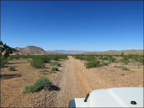
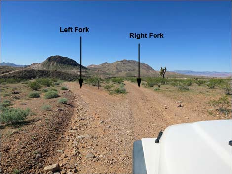 Falling Man Bypass Road forks; either is fine (view SW) |
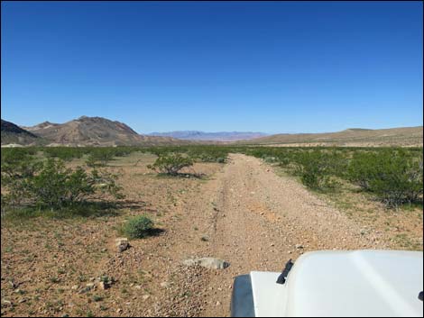
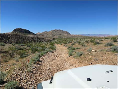 Descending washed and rocky sidehill (view SW) |
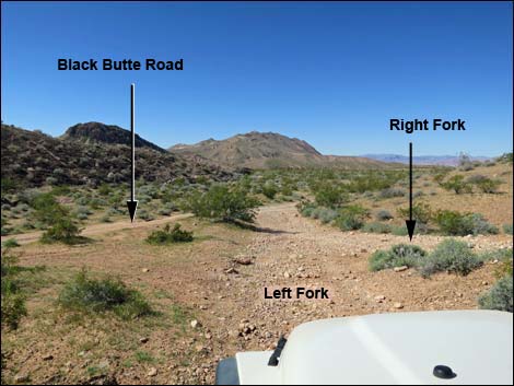 Merging with Right Fork and then with Black Butte Road (view SW) |
Table 1. Highway Coordinates Based on GPS Data (NAD27; UTM Zone 11S). Download Highway GPS Waypoints (*.gpx) file.
| Site | Location | UTM Easting | UTM Northing | Latitude (N) | Longitude (W) | Elevation (ft) |
|---|---|---|---|---|---|---|
| 1005 | Black Butte Rd at Falling Man Bypass Road West | 751477 | 4044034 | 36.51045 | 114.19195 | 2,326 |
| 1663 | Black Butte Rd at Falling Man Bypass Road East | 752972 | 4044912 | 36.51797 | 114.17499 | 2,530 |
Happy Hiking! All distances, elevations, and other facts are approximate.
![]() ; Last updated 240326
; Last updated 240326
| Backroads Around Las Vegas | Hiking Around Las Vegas | Glossary | Copyright, Conditions, Disclaimer | Home |