Backroads Around Las Vegas, Death Valley National Park
 |
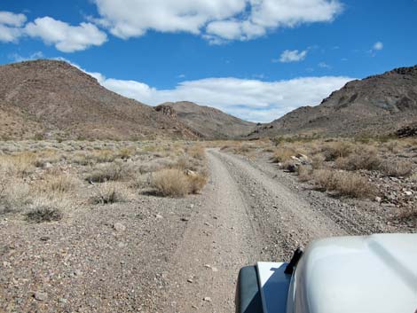
Overview Echo Canyon Road is a gravel two-track, 2WD-HC road with a firm base that runs up a broad wash, through a long narrow canyon, and then up the broad wash beyond. The road passes Needle's Eye Arch, the infamous Lee's Camp Road (which climbs over the mountains), passes the Inyo Mine Camp, and ends at a narrow spot in a canyon on the edge of the Death Valley Wilderness Area. This road provides hiker access to various hiking destinations, including a hike through Echo Canyon to Needle's Eye Arch, hikes on mining trails at Inyo Mine, and a hike up an old railroad bed to an overlook with views into Amargosa Valley in Nevada. Free permits are required for roadside camping along Echo Canyon Road, Hole in the Wall Road, Cottonwood Canyon Road, and Marble Canyon Road. Camping in these areas is only allowed in designated sites with a free permit. Link to map. |
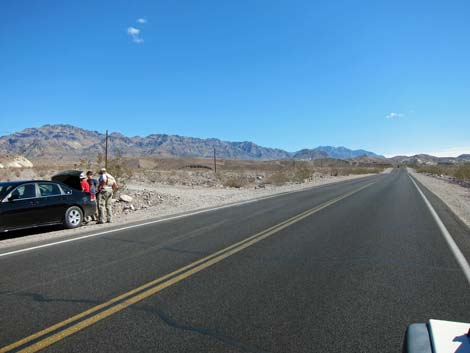 Highway 190 at Echo Canyon Road (view E) |
Watch Out Other than the standard warnings about hiking in the desert, ...this road is entirely safe in appropriate vehicles, but be sure that your vehicle is in good working condition, carry plenty of water (radiator and drinking), pack a lunch, and drive slowly and carefully. The road to near the base of Echo Canyon usually can be navigated in a carefully driven sedan. There are small patches of loose gravel in the narrows, but the road generally is in good condition. Time changes road conditions, so always use your own good judgment. While out, please respect the land and the other people out there, and try to Leave No Trace of your passage. This road goes into remote areas, so be sure to bring the 10 Essentials. |
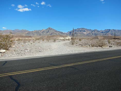 Echo Canyon Road (view NE from Highway 190) |
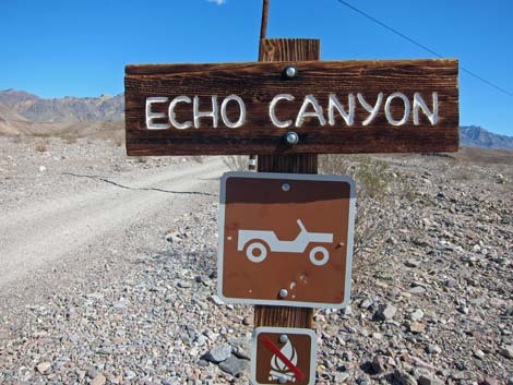
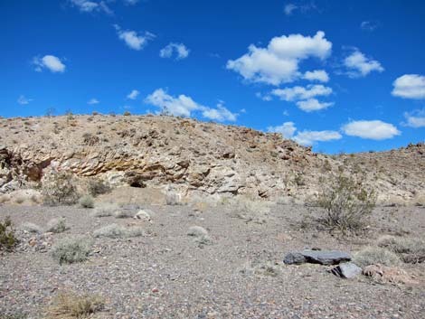
Getting to Echo Canyon Road Echo Canyon Road is located in the central part of Death Valley National Park, about 2 hours northwest of Las Vegas. From town, drive out to Death Valley. From the Furnace Creek Visitor Center (Table 1, Site 0712), drive south on Highway 190 for 3.3 miles. Watch for a gravel road on the left with a small Echo Canyon sign (Site 0974). Turn here; this is the roadhead. |
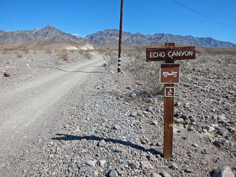 Echo Canyon Road sign (view NE) |
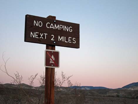
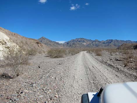
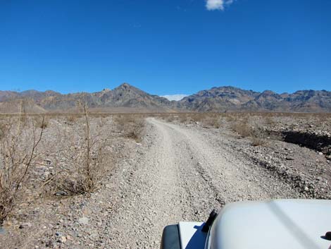
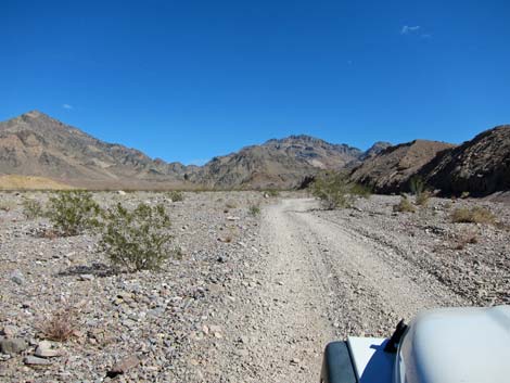
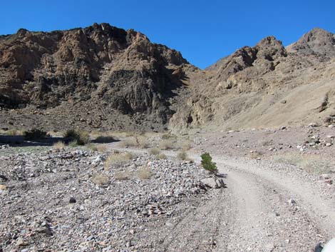
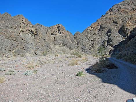
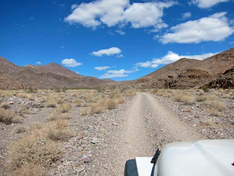
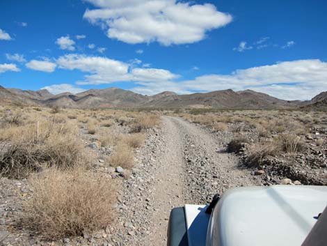
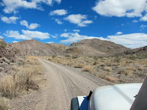
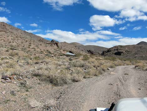
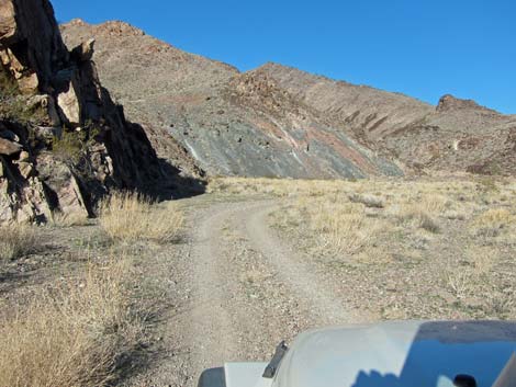
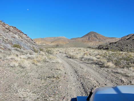
The Road From the pavement (Site 0974), the road runs northeast along the base of a low hill, then continues northeast across the broad, open bajada towards the mouth of Echo Canyon in the distance. In this area, the road generally is good and suitable for a carefully driven sedan; even travel trailers can be towed up the road. By about 2 miles out, the road runs along the base of another ridge, and campsites begin to appear. These are places where drivers have pulled off the road and flattened the ground; there are no improvements of any sort, and fires are prohibited. |
 Old Echo Canyon Road sign: new sign says 1 mile |
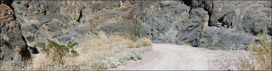
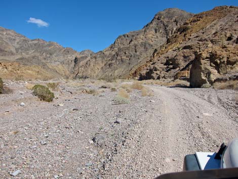
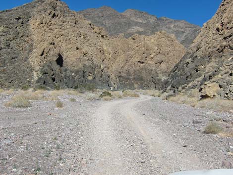
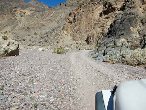
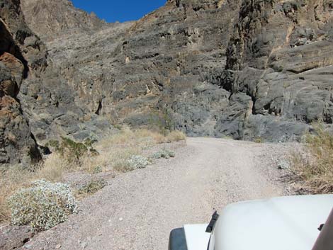
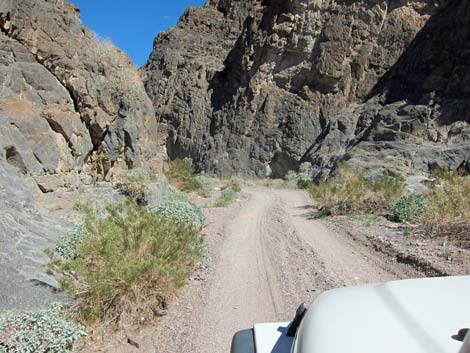
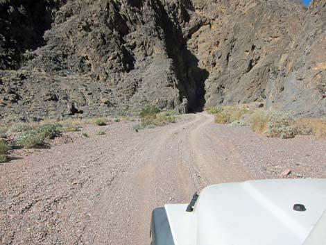
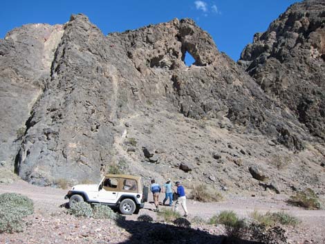
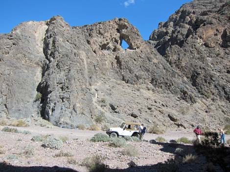
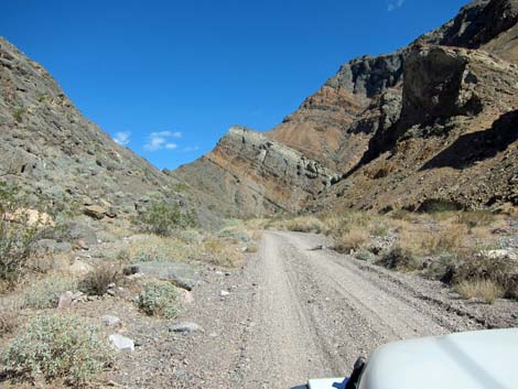
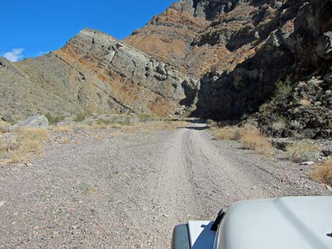
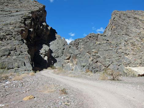
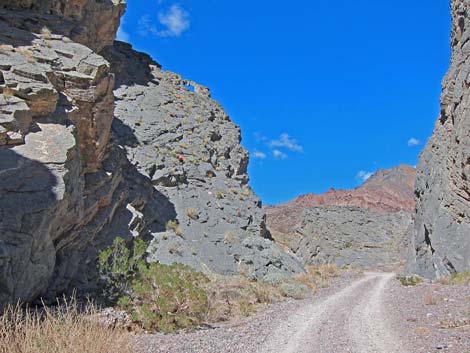
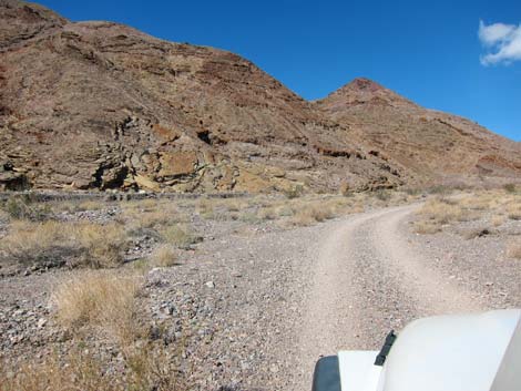
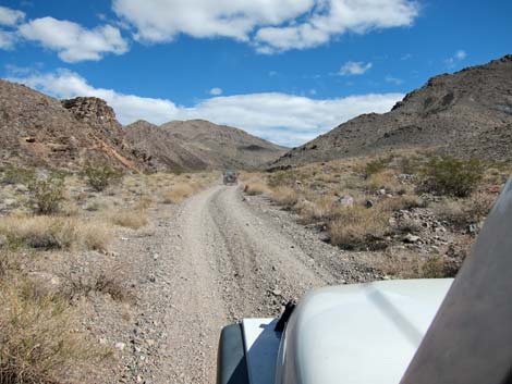
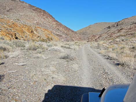
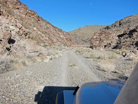
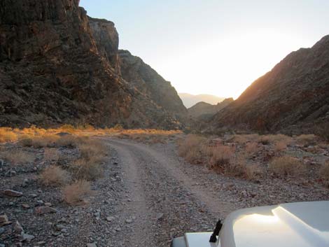
At about 3.4 miles out, the road enters the narrows of Echo Canyon (Site 1439). The canyon is fairly narrow in places, and the road winds back and forth until at 4.8 miles out, it reaches the Needle's Eye Arch (Site 1440), which is a hole in a thin fin of rock that juts out into the canyon forming a tight gooseneck turn. Technically, the Needle's Eye Arch is an arch, but it looks more like a hole through the rock fin. As such, the road winds around to the other side of the Eye (4.9 miles out) before continuing up the canyon. The canyon remains narrow until about 5.5 miles out, when it passes through a tight spot and opens into a relatively broad wash. |
 Start of Echo Canyon Road (view NE) |
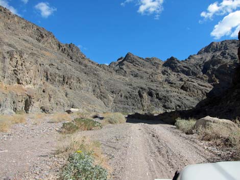
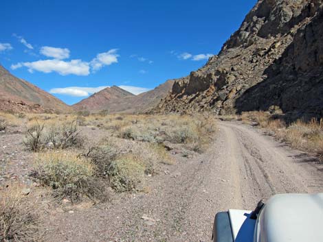
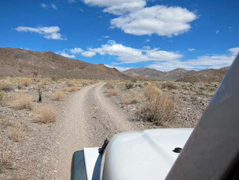
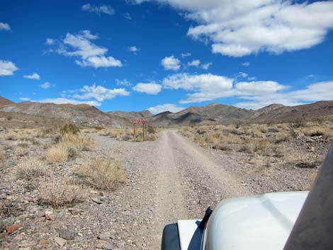
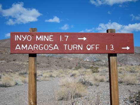
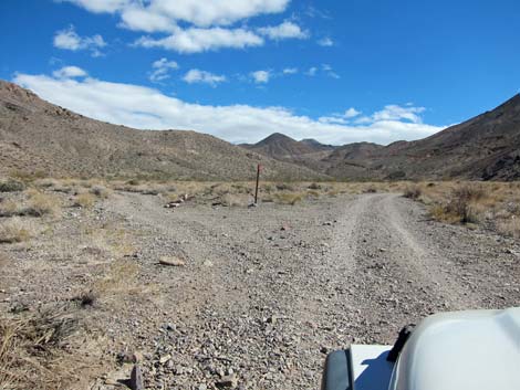
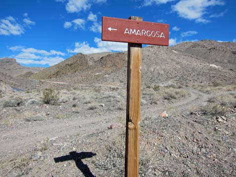
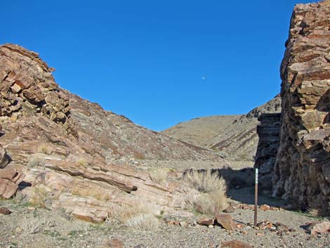
At about 7.8 miles out, the road passes a sign indicating that the Lee's Camp Road (leading to Amargosa Valley) and Inyo Mine Camp are farther up the road. A side-road once forked to the left here, heading northeast and up the canyon to the town site of Schwaub, but that road is now closed. For drivers looking for the Lee's Camp Road, it is reasonable that they might have been confused here and accidentally turned left onto the closed road. Staying in Echo Canyon, the road curves east and continues up a broad valley with scattered mines and prospects on both sides. At about 9.1 miles out, the road arrives at Lee's Camp Road (Site 1435) with a large triangular intersection. A road sign ("Amargosa" with an arrow) announced the turnoff, but the arrow points in the wrong direction. |
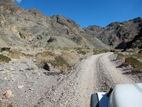
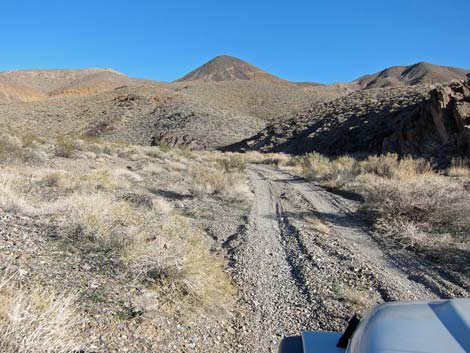
 Heading up the alluvial fan (view NE) |
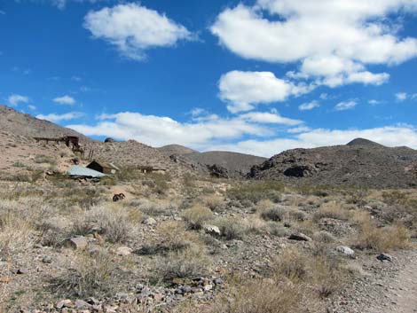
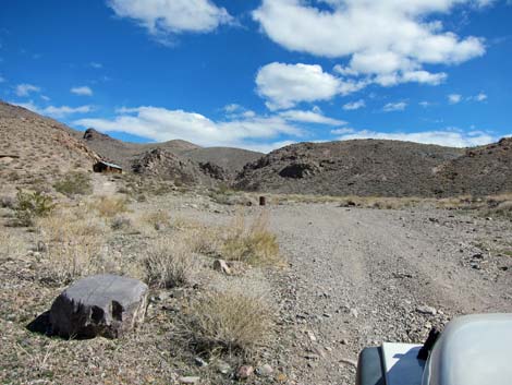
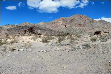
Lee's Camp Road is long, rough, and requires a serious 4WD vehicle (narrow wheel base with a lift kit) to drive all the way over the mountains into Amargosa Valley. However, the first 2 miles only requires a regular 4WD vehicle, and that is to get back out because of a rough, steep, rocky section that is easy to drive down. The first really bad spot is about 3 miles out. At 2 miles out, an old miner's trail leads to the backside of the Inyo Mine area (watch for a wire corral and a stone loading dock). Continuing on Echo Canyon Road, at about 9.5 miles out, the road arrives at the Inyo Mine Camp parking area (Site 1436) on the left. A small sign reads: "Inyo Mine," and several buildings can be seen beyond. Higher on the hillside, mine tailings and additional structures can also be seen. |
 Still heading up the alluvial fan (view NE) |
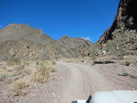
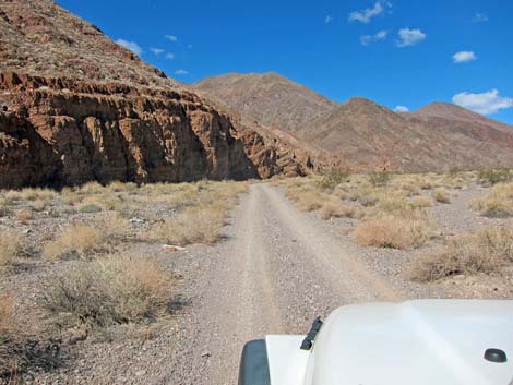
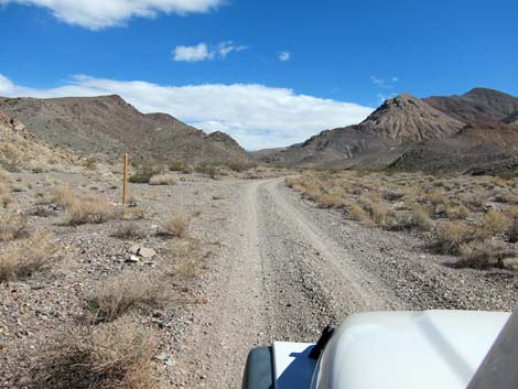
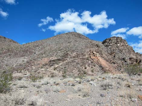
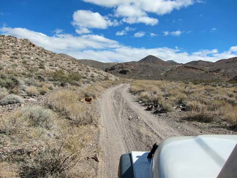
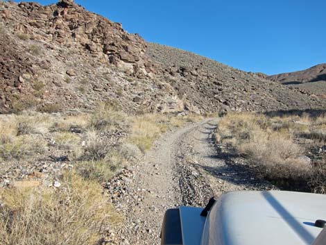
Beyond the mining camp, the road continues up Echo Canyon. This section is little used, narrower, and rougher, but still requires only a 2WD-HC vehicle. The road quickly passes mines and prospects leaving the mine camp area. The canyon narrows and the road winds about. At 10.9 miles out, the canyon pinches down, and in that tight spot, a wilderness boundary sign marks the end of the road (Site 1441). There is a tight turn-around loop and space for primitive camping at the end of the road. Hikers can continue 3.2 miles into the wilderness area following the old railroad road to an overlook atop a high cliff with views into the Amargosa Valley. |
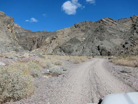
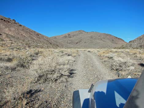
 Top of the alluvial fan (view NE) |
 Nearing the canyon (view NE) |
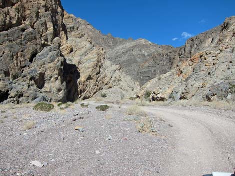
 Entering the canyon (view NE) |
 Echo Canyon (view NE) |
 |
 |
 |
 |
 |
 |
 |
 |
 Nearing the Needle's Eye Arch (view N) |
 Needle's Eye Arch (view NE) |
 Needle's Eye Arch (view NE) |
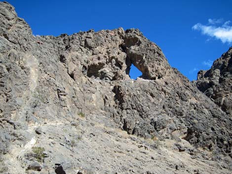 Needle's Eye Arch (view NE) |
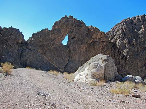 Needle's Eye Arch (view SW; looking back) |
 Continuing up Echo Canyon (view NE) |
 |
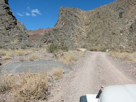 |
 Nearing the last bit of narrows (5.5 miles out) |
 Exiting the Narrows (5.5 miles out); notice small arch on left |
 |
 |
 |
 |
 |
 |
 |
 |
 Broad valley (view NE) |
 Sign at closed road to Schwaub townsite (about 7.8 miles out) |
 Old wooden 4x4 sign post (view E) |
 Old mine or prospect at roadside (view N) |
 |
 |
 |
 |
 Echo Canyon Road at Lee's Camp Road (view SE) |
 Lee's Camp Road -- arrow is backwards! (view N) |
 Nearing Inyo Mine (view SE) |
 Inyo Mine Camp in view at left (view SE) |
 Inyo Mine Camp (view E) |
 Approaching Inyo Mine Camp parking (view E) |
 Inyo Mine Camp parking (view N) |
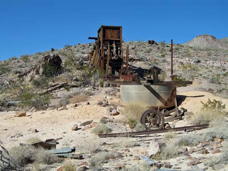 Inyo Mine Camp old mill site (view N) |
 Echo Canyon beyond the camp (view NE) |
 Narrower road (view E) |
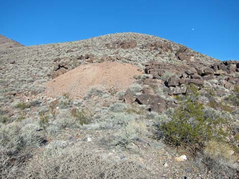 Tailings from an old mine (view NE) |
 Echo Canyon Road (view NE) |
 |
 |
 End of the road is in sight (view E) |
 Approaching the end of the road (view E) |
 End of the road at Wilderness boundary (view E) |
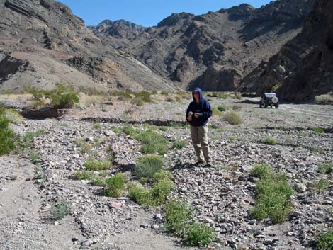 Stopping to look for wildflowers in in 2008 |
 Stopping to look for wildflowers in in 2008 |
 Sunset in Echo Canyon (view W) |
Table 1. Highway Coordinates Based on GPS Data (NAD27; UTM Zone 11S). Download Highway GPS Waypoints (*.gpx) file.
| Site | Location | UTM Easting | UTM Northing | Latitude (N) | Longitude (W) | Elevation (ft) | Verified |
|---|---|---|---|---|---|---|---|
| 0712 | Furnace Creek Visitor Center | 512030 | 4034954 | 36.46159 | 116.86574 | -186 | Yes |
| 0974 | Hwy 190 at Echo Canyon Rd | 515850 | 4032302 | 36.43763 | 116.82316 | 409 | Yes |
| 1435 | Echo Canyon Rd at Lee's Camp Rd | 525993 | 4038840 | 36.49635 | 116.70978 | 3,575 | Yes |
| 1436 | Echo Canyon Rd at Inyo Mine | 526606 | 4038513 | 36.49338 | 116.70294 | 3,741 | Yes |
| 1439 | Mouth of Echo Canyon | 520444 | 4034661 | 36.45881 | 116.77185 | 1,607 | Yes |
| 1440 | Echo Canyon Rd at Needle's Eye Arch | 521631 | 4035529 | 36.46661 | 116.75857 | 2,172 | Yes |
| 1441 | Echo Canyon Rd End | 528331 | 4038791 | 36.49583 | 116.68368 | 4,092 | Yes |
| 1442 | Lee's Camp Rd at Inyo Trailhead | 527424 | 4039854 | 36.50545 | 116.69376 | 3,990 | Yes |
Happy Hiking! All distances, elevations, and other facts are approximate.
![]() ; Last updated 240324
; Last updated 240324
| Hiking Death Valley | Backroads | Hiking Around Las Vegas | Glossary | Copyright, Conditions, Disclaimer | Home |