Backroads Around Las Vegas, Lake Mead Nat Rec Area, Avi Kwa Ame Nat Mon
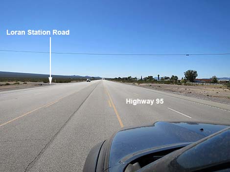 Hwy 95 approaching Loran Station Road (note power line; view S) |
Overview Loran Station Road is a 7.7-mile backcountry road that connects Highway 95 at Cal-Nev-Ari with dirt roads that cross the Newberry Mountains and run north to Cottonwood Road (east of Searchlight). By this reckoning, Loran Station Road ends at the crest of the Newberry Mountain Range, but one could argue that it actually runs down the other side for another 2 miles to connect with Empire Wash Road. Regardless, Loran Station Road runs east and nearly straight for 5.9 miles. The first 4.2 miles, out to the old LORAN-C station, was paved in the old days. Past the station, the road runs straight for another 1.7 miles to a sharp curve right. From the curve, Loran Station Road runs southeast for 1.8 miles to the crest of the mountains. The farther out, the less well maintained is the road. From the crest of the mountains, a narrow, rocky, sandy 2-track runs down the canyon on the other side. The worst of the road is the first 0.7 miles, but it remains sandy for miles. Link to map. |
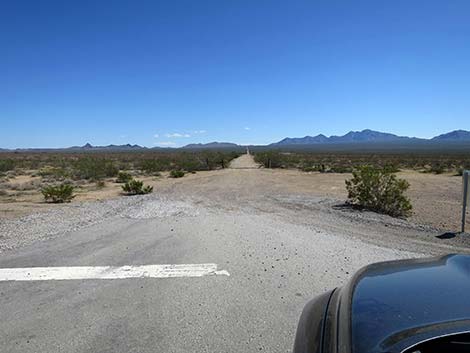
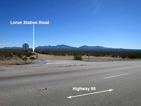 Highway 95 at Loran Station Road (view SE) |
Watch Out Other than the standard warnings about driving in the desert, ...this is a graded, easy drive out to the curve, but storms can damage the road where it crosses sandy washes. The road normally should be passable in 2WD vehicles out to the curve. Beyond that, drivers should carefully consider road conditions. Tight turns and short visual distances in the narrow canyon make some curves dangerous, so always consider that someone, driving too fast, could be coming from the other direction. While out, please respect the land and the other people out there, and try to Leave No Trace of your passage. Also, this road runs into remote areas, be sure to bring what you need of the 10 Essentials. Some of the roads in this area run straight and wide, inviting exhibitions of speed. Keep in mind, however, that there are a fair number of Desert Tortoises in the area, and squished turtles aren't pretty. |
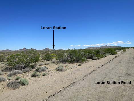
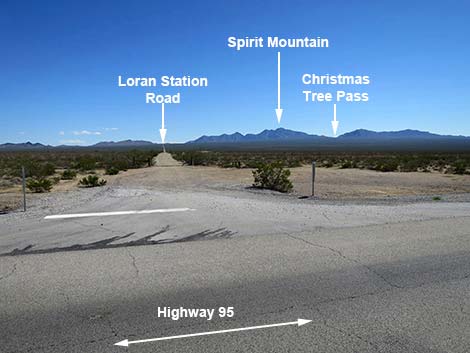 Loran Station Road (view E from Highway 95) |
Getting to the Roadhead Loran Station Road is in Avi Kwa Ame National Monument, about 1 hour south of Las Vegas. From Las Vegas, drive south on Highway 95 (US-95 S/I-515 S) to Searchlight. From downtown Searchlight (intersection of Highway 95 and Highway 164), continue south 10.7 miles to Loran Station Road, on the left. Approaching the Village of Cal-Nev-Ari, drivers can see the remaining buildings of the LORAN-C station some 4-miles off the highway out in the desert. Loran Station Road runs out to the facility, so that is a good landmark to look for. There are no signs, other than a stop sign, at the intersection of Highway 95 and Loran Station Road. Watch for a single powerline that crosses Highway 95 shortly after the divided road ends and shortly before reaching the first houses in Cal-Nev-Ari. |
 Loran Station Road (view E from Highway 95) |
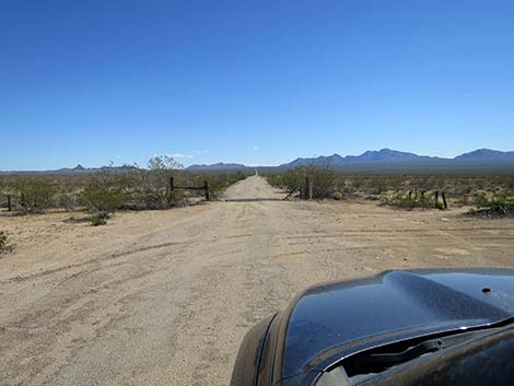
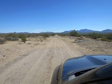
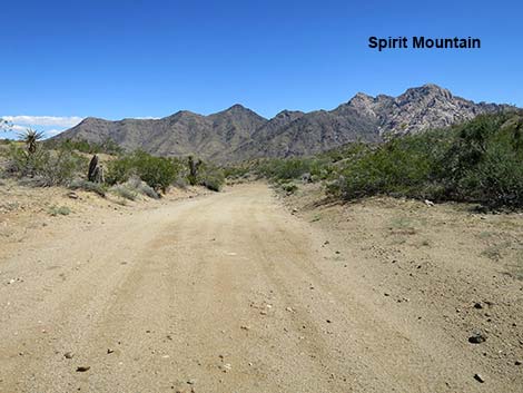
The Road From Highway 95 (Table 1, Site 1978), Loran Station Road passes a cattle guard in the highway right-of-way fence and the adventure begins. Initially, Loran Station Road runs straight and wide, and except for the washboards, lulls drivers into a false sense of what lies ahead. Even so, the broad road gently climbs across the desert flats heading straight towards hills north of the towering white-granite cliffs of the West Face of Spirit Mountain. Spirit Mountain is the focal point of Avi Kwa Ame National Monument, where "Avi Kwa Ame" is Paiute and translates to Spirit Mountain in English. In the creation story of the local tribes, Avi Kwa Ame is the birthplace of humans, the place where the spirits brought humans from the underworld, out through Avi Kwa Ame, into the upper-world where we all live now. The area remains important for Native Americans, and they continue to use the resources and ceremonial spaces as they have for many generations. |
 Loran Station Road (view E) |
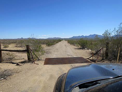
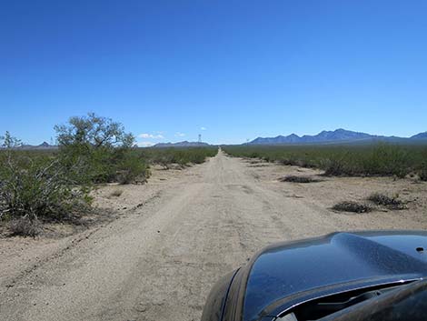
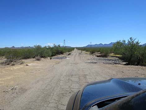
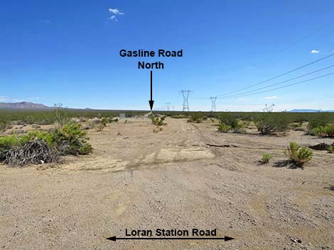
Loran Station Road runs slightly north of due east -- perhaps the construction engineer didn't set the declination properly on his compass. After crossing the cattle guard, the road runs along a fence on the right that marks the edge of private land. Beyond the fence, everything is public land. Shortly, Loran Station Road crosses three washes. One has a cement bottom, but each is worth paying attention to see how recent storms have moved sand and gravel around. Heading east, a pair of high-tension powerlines come into view. Loran Station Road passes under the powerlines, and on the other side, crosses the powerline road that runs north-south into the distance in both directions. The power company usually keeps this road in passable conditions. Shortly, Loran Station Road crosses a gas-line road that also runs north-south into the distance in both directions. The gas company seems to do a better job of keeping their road in passable conditions. |
 Cattle guard at the highway fence (view E) |
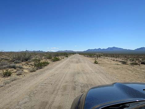
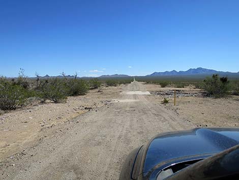
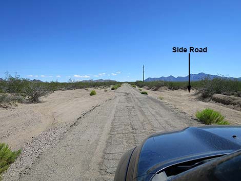
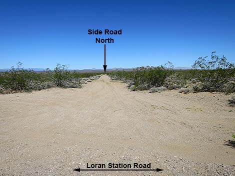
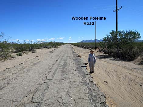
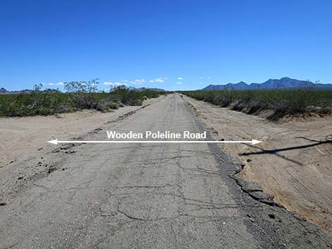
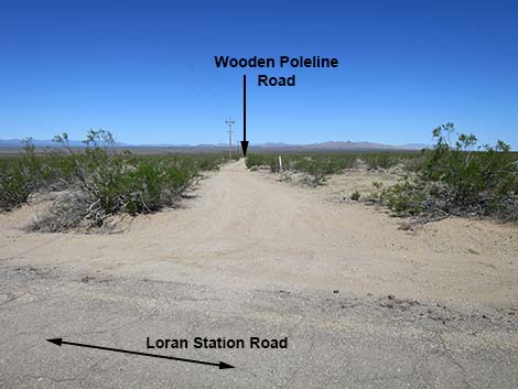
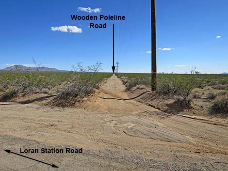
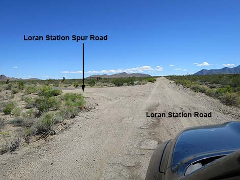
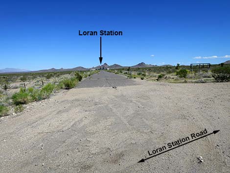
A bit farther out, Loran Station Road crosses a minor north-south road that runs into the distance in both directions. This is not a utility road and isn't maintained, but it seems to stay open due to use. Shortly thereafter, Loran Station Road passes a third powerline, but this one uses wooden powerpoles, hence Wooden Poleline Road. This road also north-south runs into the distance in both directions. Beyond Wooden Poleline Road, Loran Station Road runs uninterrupted for a distance. Ahead on the left in the near distance, the ruins of the old LORAN-C Station come into view, and before too long, Loran Station Road arrives at Loran Station Spur Road (Site 1979), on the left. This paved road runs out about 0.4 miles to the old Coast Guard station. The tall radio towers have been removed, but the buildings (such as they are) remain. Continuing past the Spur Road, Loran Station Road begins to deteriorate, but it remains an easy drive with a few bumpy spots and a few rocks to dodge. |
 Fence marks private land on the right (view E) |
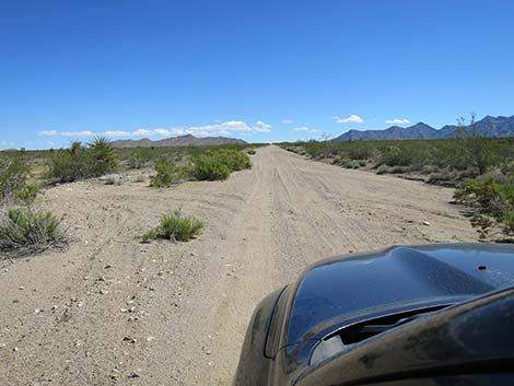
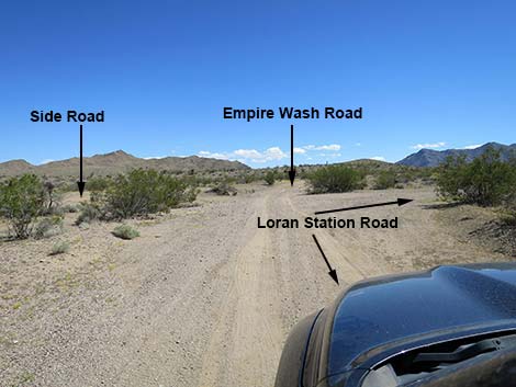
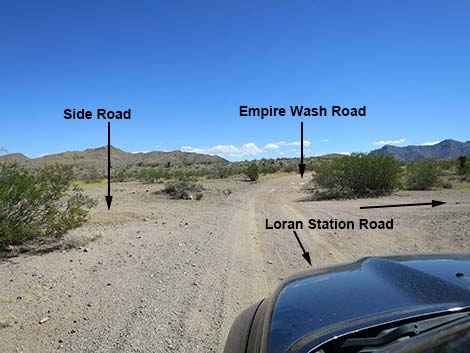
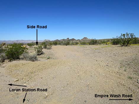
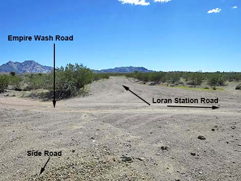
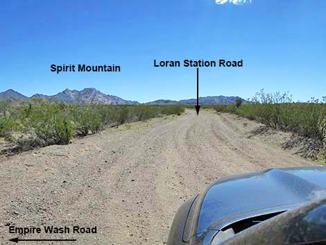
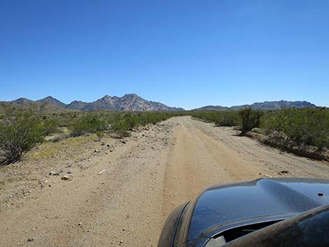
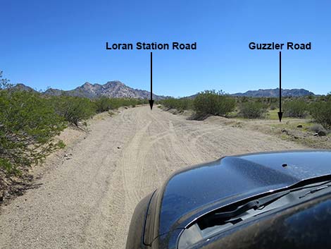
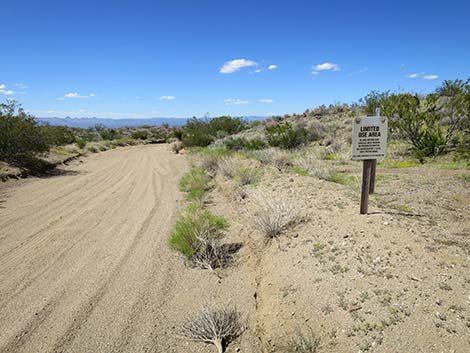
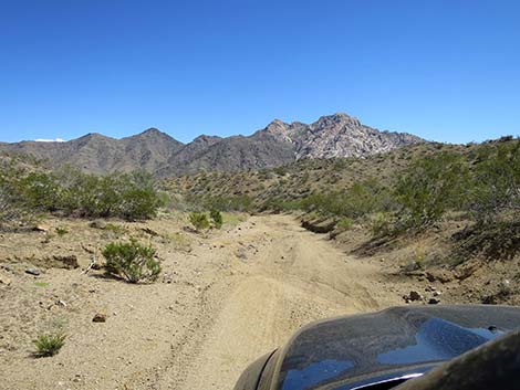
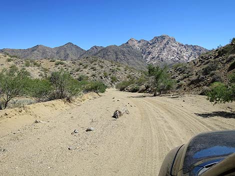
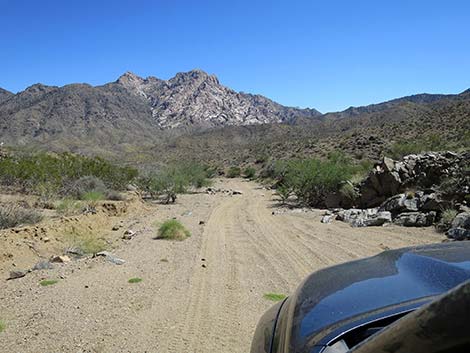
Eventually, Loran Station Road reaches a 4-way intersection (Site 1980) where the main road, Loran Station Road, clearly curves hard to the right to head south. At the intersection, the narrow Empire Wash Road continues straight heading east, and a little-used narrow Side Road branches off to the northwest. Now heading southeast, Loran Station Road begins to wind up into the hills and passes a spur road to the right that runs about 0.2 miles to a quail guzzler. It was damaged by wind in early 2023, and so has gone dry. Loran Station Road continues climbing at moderate grades into the hills. The road passes a "limited use area" sign on the left, and eventually reaching the crest (Site 1981) of the Newberry Mountains. At the crest, a minor road forks hard to the right. This road starts heading west, but soon turns south, and can be used to drive 2.5 miles to Christmas Tree Pass Road. This road is a challenging ride in a full-sized truck. |
 Loran Station Road (view E) |
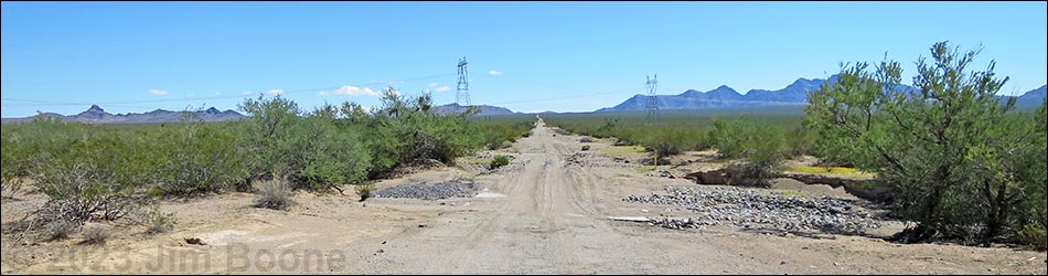
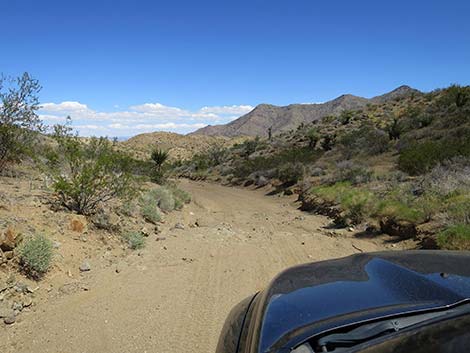
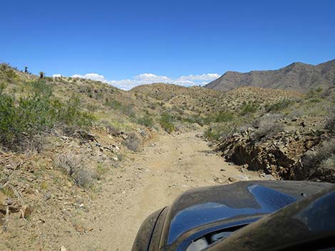
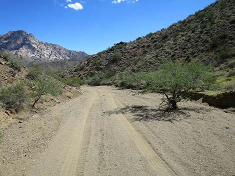
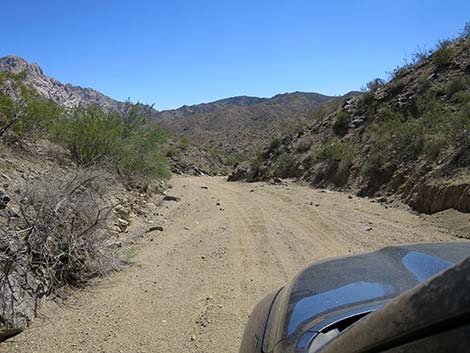
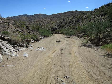
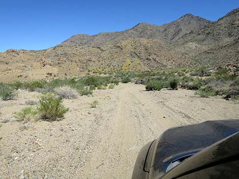
Heading over the ridge, Loran Station Road starts down into a canyon. After about 0.1 miles of good road, the canyon quickly narrows as the road winds down a narrow, rocky, sandy wash. Up to this point, most drivers would feel comfortable in a 2WD vehicle, but I wouldn't drive past the crest of the range without a 4WD vehicle. Loran Station Road winds slowly down the canyon for about 0.7 miles until the canyon begins to open up and the driving is easier (but still a bit sandy). Winding down the canyon, the road generally runs east or southeast, but eventually the road makes a big bend to the left run north. Starting into this curve, Loran Station Road passes Roman Canyon Road, on the right. The road runs up Roman Canyon beneath the west face of Spirit Mountain, but I don't know the road conditions. |
 Loran Station Road at first wash crossing (view E) |
Turning the corner, Roman Mine (Site 1984) comes into view on the hillside to the right. Nothing remains other than partially denuded landscape and piles of dirt. Beyond Roman Mine, Loran Station Road continues down the sandy wash heading north. Parts of the road follow the sandy wash, and parts follow a graded road above the wash along the edge of the hillside. The canyon eventually bends to the right to head east, and soon merges with Empire Wash Road just upstream from the site of Camp Thurman and the Potential Mine. From this point, visitors can continue east on Empire Wash Road and eventually reach the pavement on Cottonwood Road east of Searchlight. Alternatively, visitors can turn west and drive up Empire Wash Road, but this road is more challenging than Loran Station Road. Returning up Loran Station Road is okay too, as everything looks different on the way back. |
 Loran Station Road at second wash crossing (view E) |
 Loran Station Road at third wash crossing (view E) |
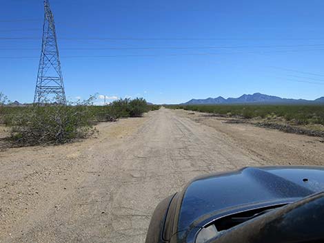 Loran Station Road approaching high-tension powerlines (view E) |
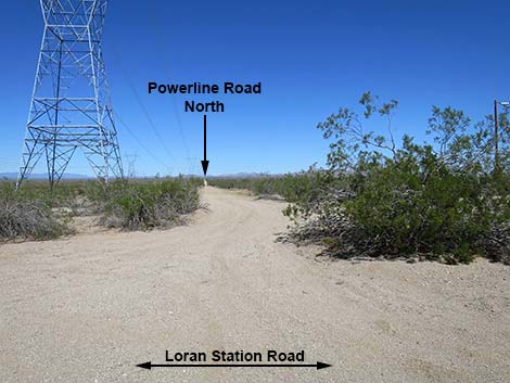 Powerline Road (view N from Loran Station Road) |
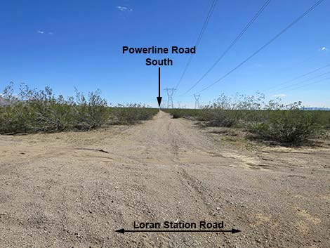 Powerline Road (view S from Loran Station Road) |
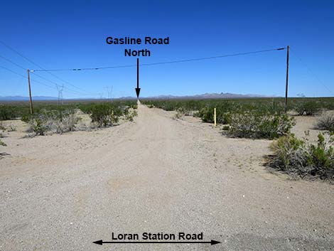 Gasline Road (view N from Loran Station Road) |
 Gasline Road (view S from Loran Station Road) |
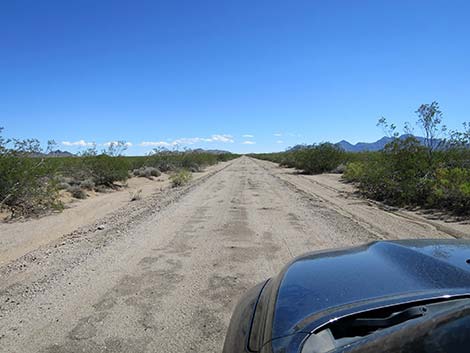
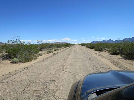
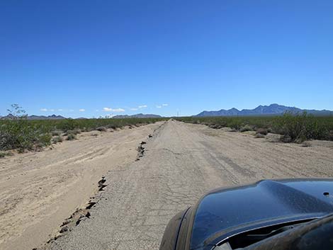 Parts of Loran Station Road are still paved (view E) |
 Parts of Loran Station Road are barely paved (view E) |
 Side Road (view N from Loran Station Road) |
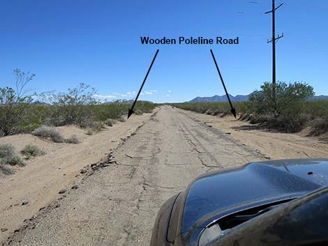 Loran Station Road approaching Wooden Poleline Road (view E) |
 The erosion ditch is waist high (view E) |
 Loran Station Road at Wooden Poleline Road (view E) |
 Wooden Poleline Road (view N from Loran Station Road) |
 Wooden Poleline Road (view S from Loran Station Road) |
 Loran Station Road continuing past Wooden Poleline Road (view E) |
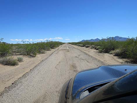 Loran Station Road (parts are gravel; view E) |
 Loran Station Road (parts are paved; view E) |
 Loran Station buildings come back into view (view NE) |
 Parts of Loran Station Road are barely paved (view E) |
 Loran Station Road at spur road to LORAN-C ruins (view E) |
 Spur Road to LORAN-C ruins (view NE from Loran Station Road) |
 Loran Station Road continuing past LORAN-C spur road (view E) |
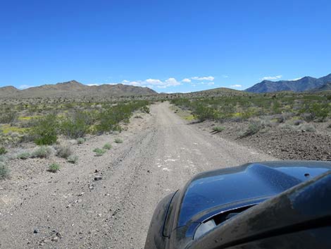
 Loran Station Road (view E) |
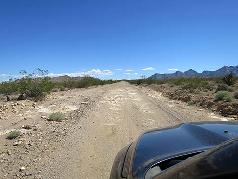 Loran Station Road at the first rocky spot (view E) |
 Loran Station Road (view E) |
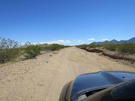
 Loran Station Road crossing rolling hills (view E) |
 Loran Station Road past rolling hills (view E) |
 Loran Station Road curve and intersection (view E) |
 Loran Station Road curves right (view E) |
 Side Road (view N from Loran Station Road) |
 Loran Station Road stays right (view S) |
 Loran Station Road continuing past the curve (view SE) |
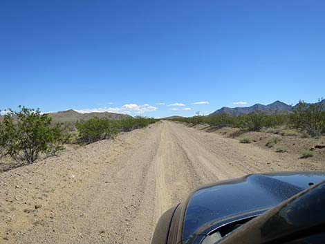
 Loran Station Road (view SE) |
 Loran Station Road at Guzzler Spur Road (view SE) |
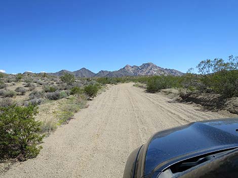 Loran Station Road (view SE) |
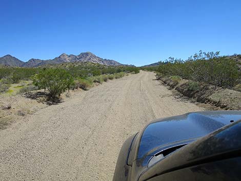 Loran Station Road (view SE) |
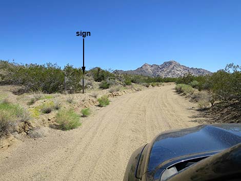 Loran Station Road approaching backside of a sign (view SE) |
 Looking back at sign: Limited Use Area (view NW) |
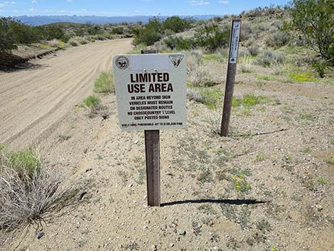 Limited Use Area: stay on established road (view NW) |
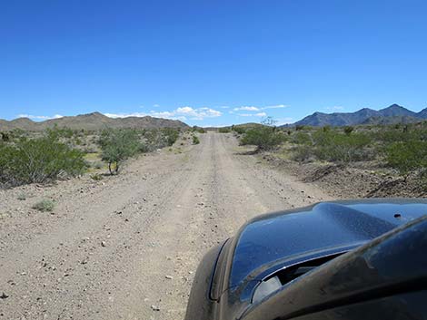
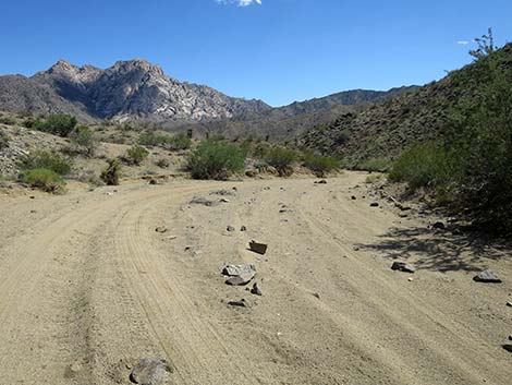
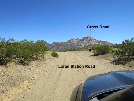 Loran Station Road approaching crest of the Newberrys (view SE) |
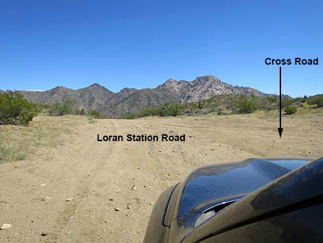 Loran Station Road at Cross Road (view SE) |
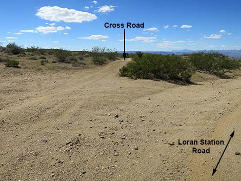 Looking back: Cross Road (view W from Loran Station Road) |
 Loran Station Road (view E from crest of the Newberry Range) |
 Starting down, Loran Station Road soon narrows (view E) |
 Approaching a step down over rocks (view E) |
 A rocky, narrow spot (view E) |
 The wider parts get sandy (view SE) |
 Loran Station Road: sand road (view E) |
 Loran Station Road: sand road (view E) |
 Loran Station Road: sand road (view E) |
 Loran Station Road: sand road (view E) |
 Exiting the narrows, the wash begins to open (view SE) |
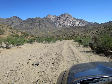 Loran Station Road (view E) |
 Loran Station Road (view E) |
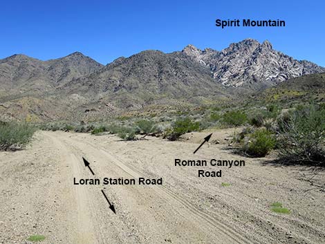 Loran Station Road approaching Roman Canyon Road (view SE) |
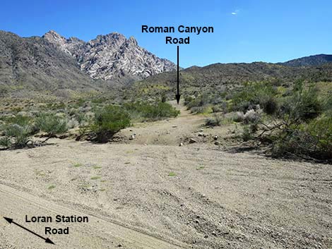 Roman Canyon Road (view SE from Loran Station Road) |
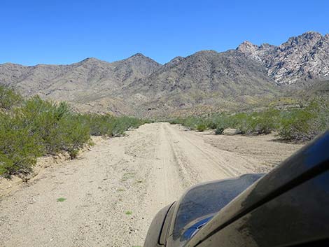
 Loran Station Road (view E) |
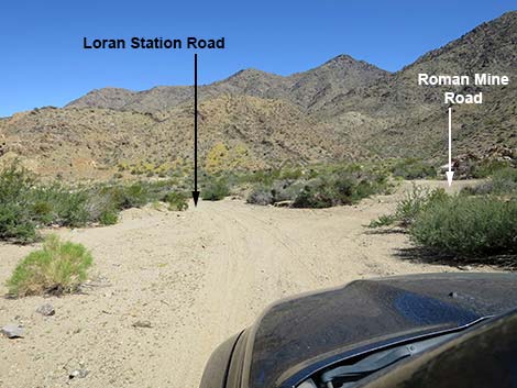 Loran Station Road approaching Roman Mine Road (view SE) |
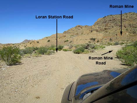 Roman Mine Road (view SE from Loran Station Road) |
Table 1. Highway Coordinates Based on GPS Data (NAD27; UTM Zone 11S). Download Highway GPS Waypoints (*.gpx) file.
| Site | Location | UTM Easting | UTM Northing | Latitude (N) | Longitude (W) | Elevation (ft) |
|---|---|---|---|---|---|---|
| 1978 | Hwy 95 at Loran Stn Rd | 692650 | 3909611 | 35.31296 | 114.88092 | 2,624 |
| 1979 | Loran Stn Rd at Loran Stn Spur | 699382 | 3910103 | 35.31607 | 114.80679 | 2,962 |
| 1980 | Loran Stn Rd at Fork | 702101 | 3910311 | 35.31740 | 114.77686 | 3,175 |
| 1981 | Loran Stn Rd at Saddle | 703830 | 3908159 | 35.29766 | 114.75838 | 3,486 |
Happy Hiking! All distances, elevations, and other facts are approximate.
![]() ; Last updated 240323
; Last updated 240323
| Backroads Around Lake Mead | Hiking Around Las Vegas | Glossary | Copyright, Conditions, Disclaimer | Home |