Birding Around Las Vegas, Mount Charleston Area, Kyle Canyon
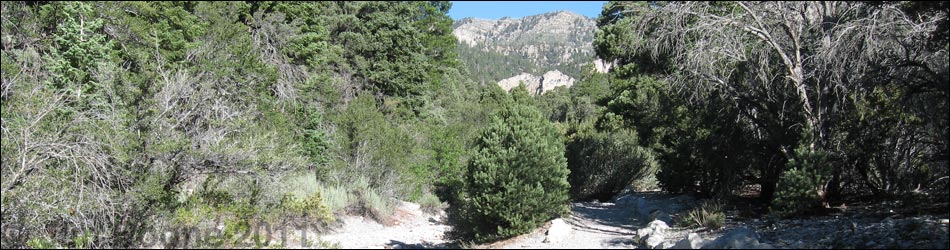
 Trailhead (view N from Kyle Canyon Road) |
Overview The Fletcher Canyon Trail provides a pleasant 1.4-mile hike to Fletcher Spring, a perennial spring with lots of vegetation and mountain birds. The spring and "meadow" area sometimes is referred to as Hummingbird Hollow. The trail runs at a moderately strenuous grade through Pinyon-Juniper Forests and Pine-Fir Forests in a deep canyon surrounded by towering limestone cliffs. Birding the lower canyon provides an experience typical of this dry region, but water at the spring concentrates birds and can provide very active birdwatching. Keep an eye out for Broad-tailed Hummingbirds, Canyon Wrens, Hermit Thrushes, Cassin's Finches, Black-throated Gray Warbler, and other species. Painted Redstarts were seen here in 2009 and 2010, and a Red-faced Warbler even showed up. |
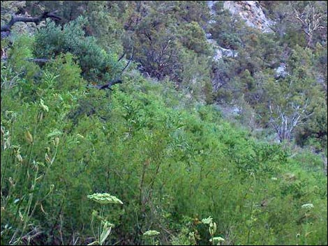
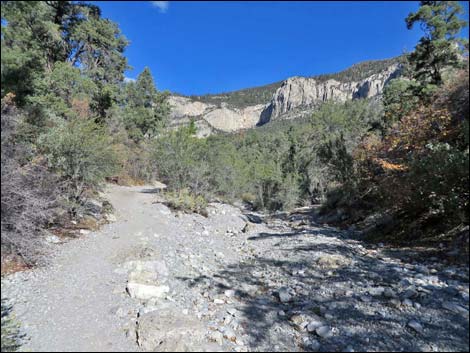 Arid forest low in the canyon (view NW) |
Watch Out Other than the standard warnings about hiking in the desert, ...stay out of the narrows above the spring area if thunderstorms threaten to avoid flash floods. Rocks in the bottom of the canyon may be water-polished and slick. Be sure to treat or filter the water before drinking. There is a fair amount of stinging nettle along the trail in the upper meadow area. While hiking, please respect the land and the other people out there, and try to Leave No Trace of your passage. Also, even though this hike is a short hike, be sure to bring what you need of the 10 Essentials. This hike goes into the Mount Charleston Wilderness Area, so pay particular attention to respecting the land. |
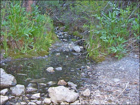 Water flows across the trail (view NW) |
Getting to the Trailhead This hike is located in Kyle Canyon up in the Spring Mountains National Recreation Area, about 45 minutes northwest of Las Vegas. From town, drive out Highway 95 to Kyle Canyon Road. Turn left and continue up Kyle Canyon Road to the Fletcher Canyon Trailhead. |
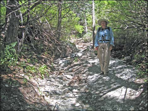 Water flowing through a tangle of vegetation |
The Hike For details of the hike and a map, see the Fletcher Canyon Trail hiking webpage. From the Fletcher Canyon Trailhead, the trail runs north past the trailhead signs and across the toe of a ridge, then drops into Fletcher Canyon Wash. When crossing the wash, limestone cliffs can be seen high in the canyon -- far to the west. The spring is located at the base of the cliffs where the canyon pinches to a narrow slot, so from this point birders can get a good idea of how far it is to the spring. At the wash, the trail then turns left, crosses the wash, and heads uphill to the northwest. About 1/3-miles out, the trail arrives at a signed trail junction: stay left (straight) on Fletcher Canyon Trail. |
 Black-throated Gray Warbler bathing |
The trail continues northwest at a moderate grade, and by 1-1/4 miles out, the sides of the canyon have narrowed. Shortly, the canyon narrows a bit more and the trail crosses the wash to the south at a point where water drips into the trail from two metal pipes. The spring is a few yards farther up the trail. Water in the canyon draws in birds from far and wide in this arid environment, so sitting quietly and watching the water is a good way to bird the springs area. From the spring, the trail runs quite steeply for the next 0.2 miles and passes through a heavily vegetated area with damp soils and lots of forbs, including lots of stinging nettle. This area can be good for finding birds. After enjoying the birds and the cool of the canyon, either hike up into the narrows or return to the trailhead by retracing your footsteps. |
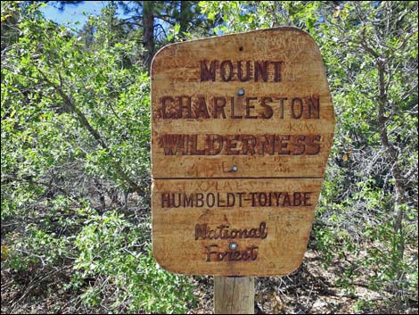 This hike runs up into the Mount Charleston Wilderness Area |
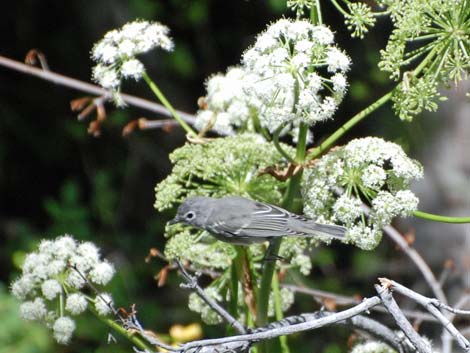 Plumbeous Vireo and Mount Charleston Angelica |
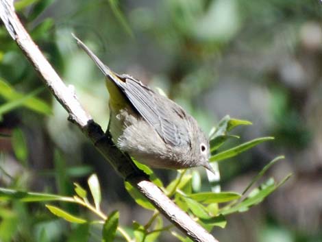 Virginia's Warbler in willows above the spring |
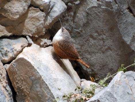 Canyon Wren on rocky walls of the canyon |
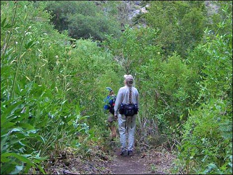 Birdwatchers in the "Meadow" area |
 Tall, thick vegetation in the "Meadow" area |
Note: All distances, elevations, and other facts are approximate.
![]() ; Last updated 240322
; Last updated 240322
| Birding Around Mt Charleston | Birding Around Las Vegas | Glossary | Copyright, Conditions, Disclaimer | Home |