Southern Nevada Wilderness Areas
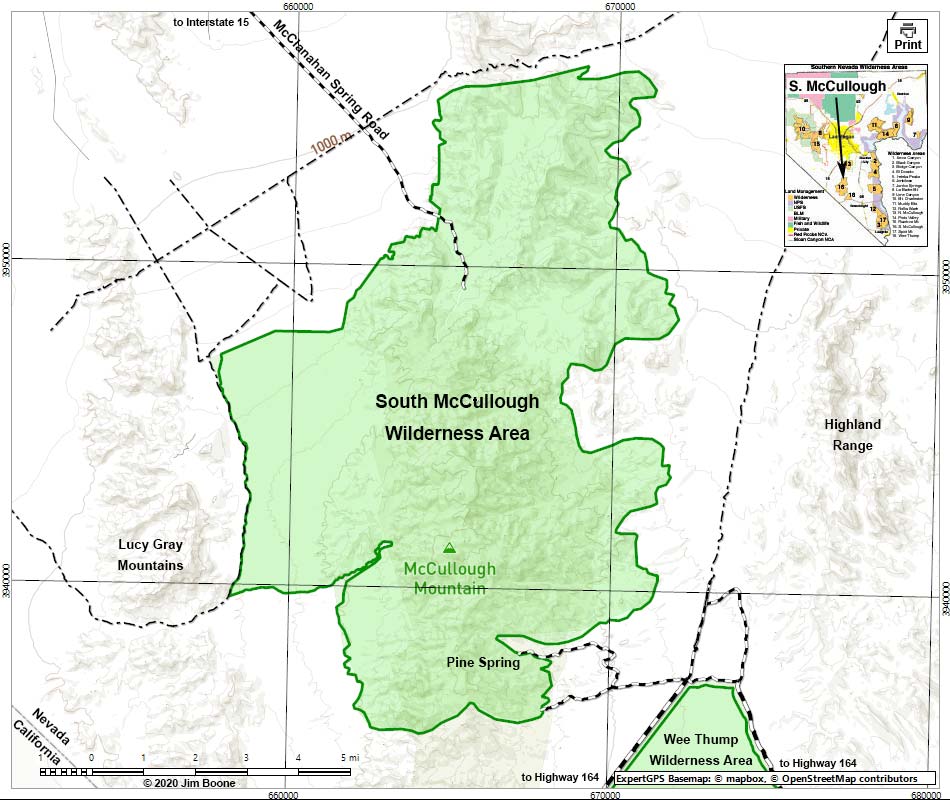
Note: Map based on USGS 7.5 minute topo map, which may have red grid lines and various numbers. North is at the top. Grid is UTM NAD27 CONUS. Roads are black (solid = paved; dashed = unpaved; width implies quality). Wilderness Areas (boundaries solid green, fill light green) based on BLM data. BLM areas (no color overlay) based on BLM data.
Note: All distances, elevations, and other facts are approximate.
![]() ; Last updated 201031
; Last updated 201031
| South McCullough Wilderness | Southern NV Wilderness Areas | Hiking | Copyright, Conditions, Disclaimer | Home |