Hiking Around Las Vegas
overview | north section | south section
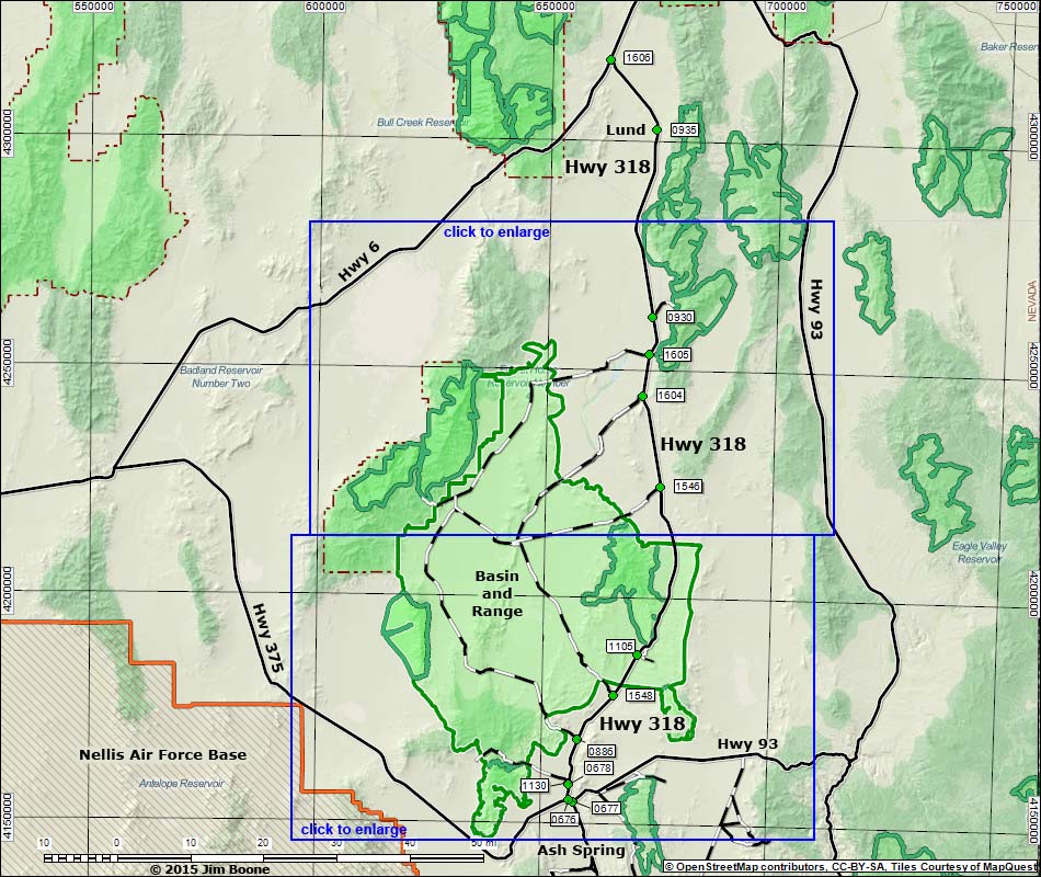
Note: Roads are black (solid = paved; dashed = unpaved). Trails and routes are red (solid = main; dashed = adjacent or alternate). Map based on OpenStreetMap. North is at the top. Grid is UTM NAD27 CONUS. Wilderness Areas (boundaries solid green, fill light green) based on BLM data. National Forest areas (boundaries dashed brown, fill light green) based on USFS data. Military Reservations (boundaries orange, fill crosshatch) based on State of Nevada data. Download waypoint coordinates from route description page.
Happy Hiking! All distances, elevations, and other facts are approximate.
![]() ; Last updated 150707
; Last updated 150707
| Highway 318 | Backroads | Glossary | Copyright, Conditions, Disclaimer | Home |