 |
| Home | Wilderness | Hiking | Mt. Charleston | Trail Canyon Trailhead |
Trail Canyon Trailhead Map
Hiking Around Las Vegas,
Mount Charleston Area |
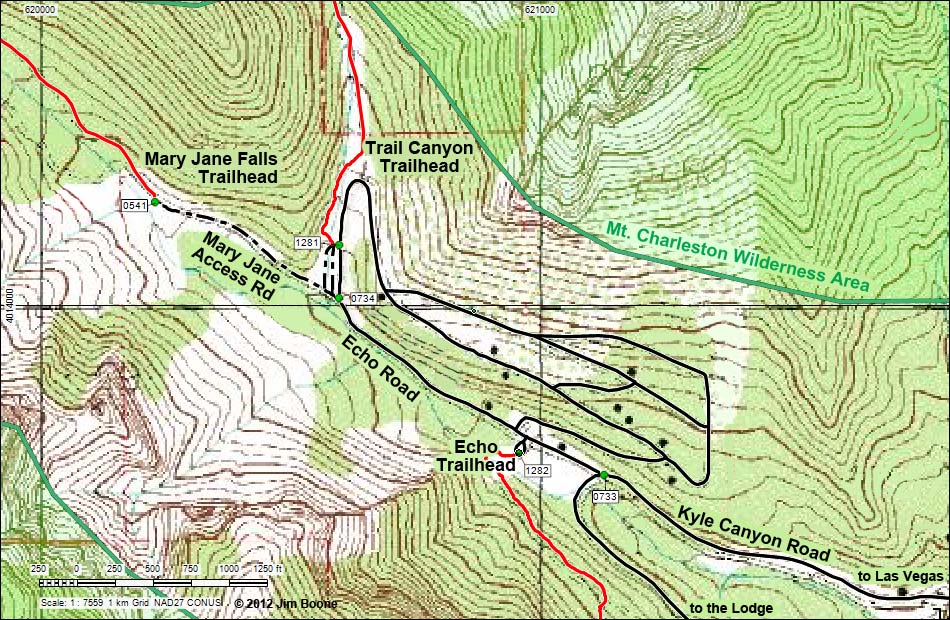 |
| Note: Roads are black (solid = paved; dashed = unpaved). Trails and routes are red (solid = main; dashed = adjacent or alternate). Map based on USGS 7.5-minute topo map. North is at the top. UTM Grid is NAD27 CONUS. Wilderness Area boundaries (green) based on BLM data. |
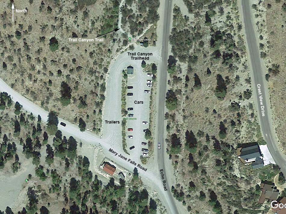 |
| Note: Map based on true-color Google aerial photography. North is at the top. |
Happy Hiking! All distances, elevations, and other facts are approximate.
 ; Last updated 211007 ; Last updated 211007 |
|