Hiking Around Las Vegas, Mojave National Preserve
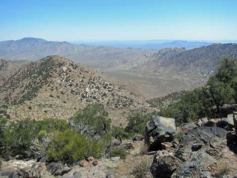 Summit (view E towards trailhead; it's a long way off) |
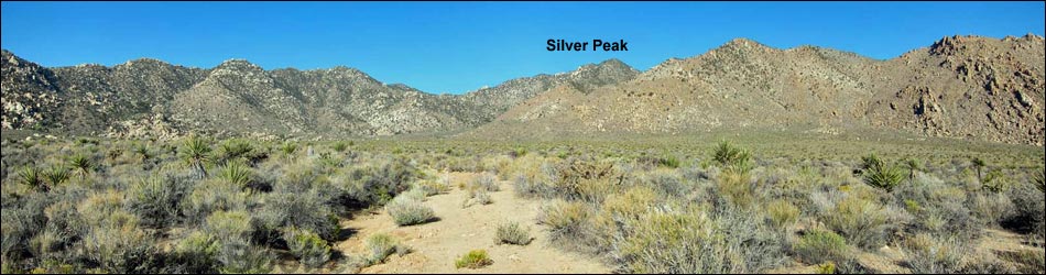
Overview The Silver Peak use-trail, an old mining road, offers a path deep into the Mojave Wilderness Area within the Granite Mountains. The old road starts up the gently sloping Cottonwood Valley, then climbs the alluvial fan below Silver Peak at moderate grades. After working through a rocky and tree-filled canyon, the old road ascends very steeply to ridges above. At more gentle grades, the old road ends some 250 vertical-feet below the summit. Steep use-trails then lead to the 6,400-ft summit, from which views stretch beyond the horizon. Although the road was put in at great effort and expense, there is no evidence that a mine was ever opened. Presented here are photos of the return. For a detailed description of the route, including directions, maps, GPS coordinates, and photos, see Silver Peak. |
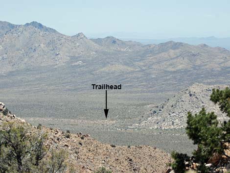 Summit (view E towards trailhead) |
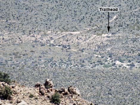 Summit (view E towards trailhead) |
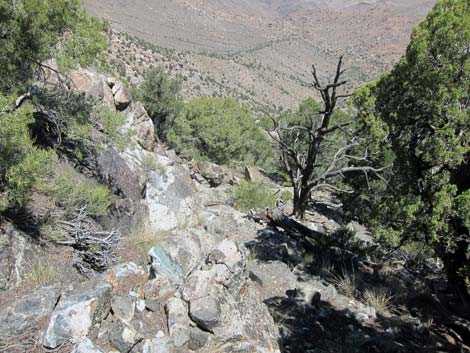 Descending steep ridge above old road (view E) |
 Descending steep ridge, dropping towards end of road |
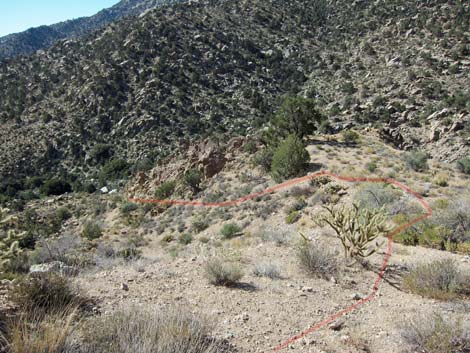
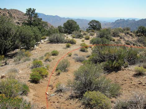 Going down, the trail turns right over this ridgeline (view E) |
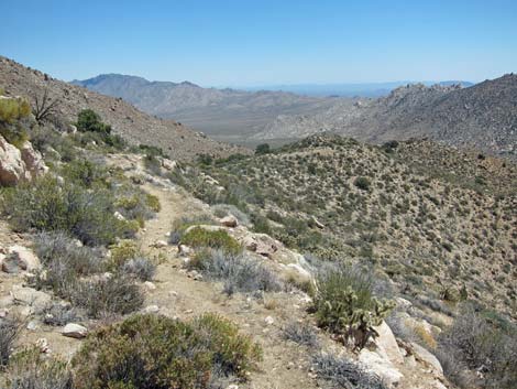 Dropping across south-facing slope (view E) |
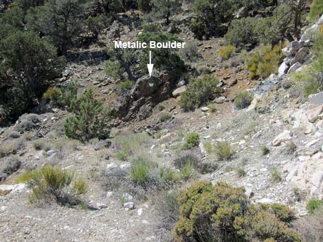
 At landing, trail angles off left side (view E) |
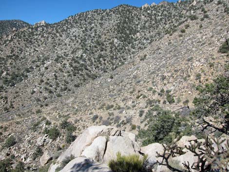 Steep road below shady pinyon pine (view SW) |
 Steep road below shady pinyon pine (view SW) |
 Old road cuts left before reaching trees |
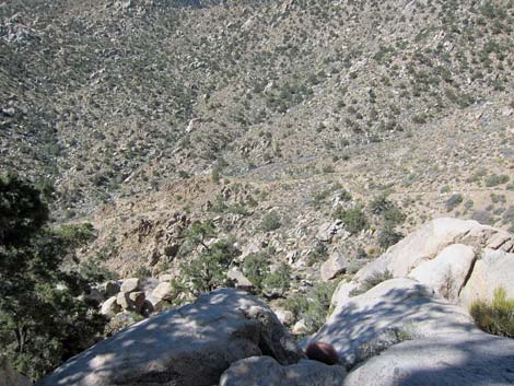
 Dropping into the shrub-choked canyon (view SE) |
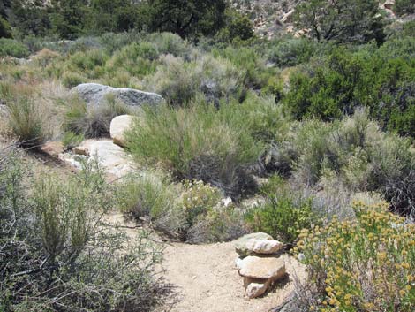
 Descending onto the alluvial fan (view E) |
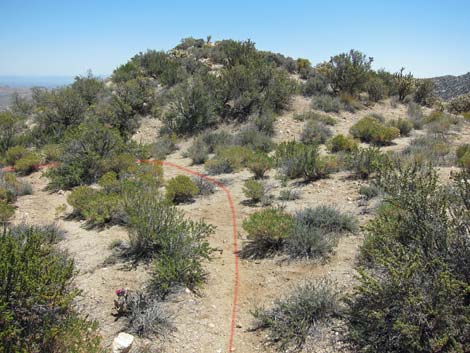
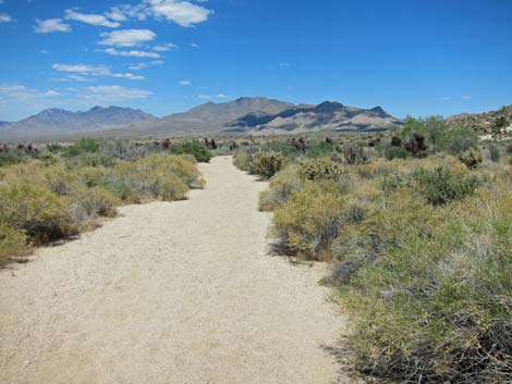
 Descending onto the desert flats (view E) |
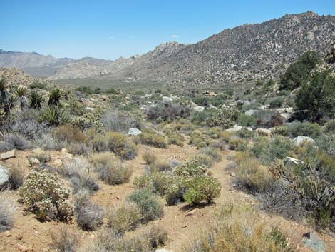
 Crossing sunny desert flats (view E) |
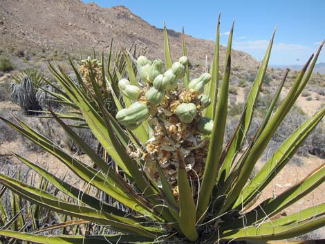 Developing fruit on Mojave Yucca |
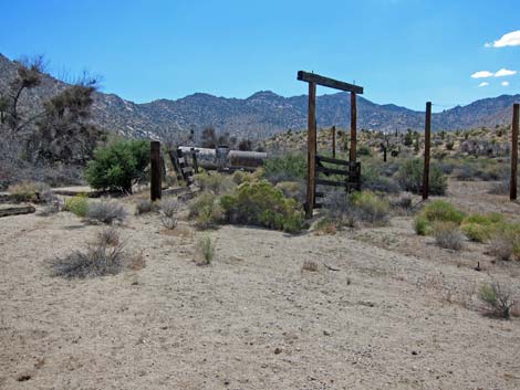
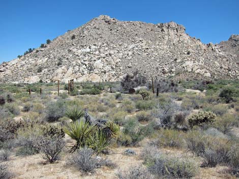 Historic coral (view SE from old road) |
 Historic ranch gate |
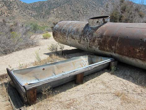 Historic water tank and watering trough |
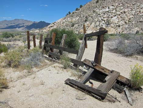 Historic fencing or cattle chute |
 Looking back after departing historic corral area (view W) |
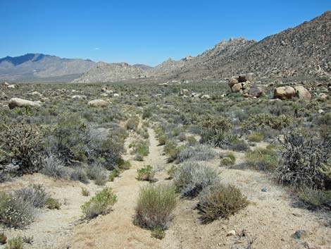
 Long, sandy wash (view E) |
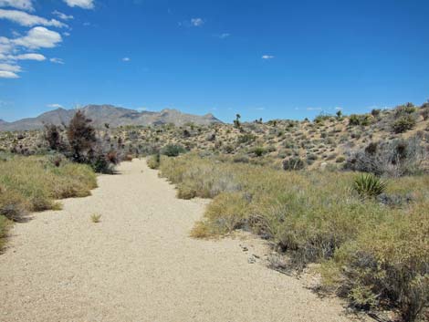 Long, sandy wash (view E) |
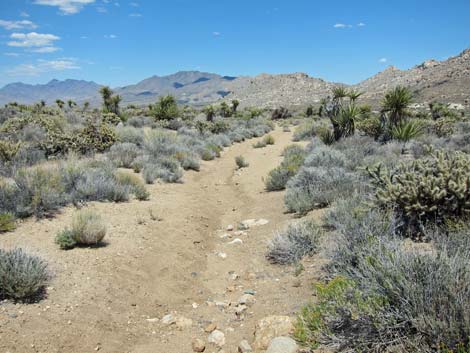
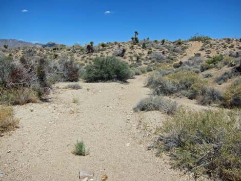 Route departs sandy wash at old road scar (view E) |
 More to come ... |
Happy Hiking! All distances, elevations, and other facts are approximate.
![]() ; Last updated 240329
; Last updated 240329
| Hiking Around Mojave Preserve | Hiking Around Las Vegas | Glossary | Copyright, Conditions, Disclaimer | Home |