Hiking Around Las Vegas, Mojave National Preserve
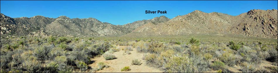
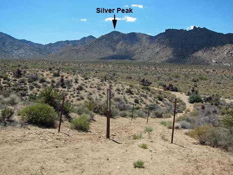
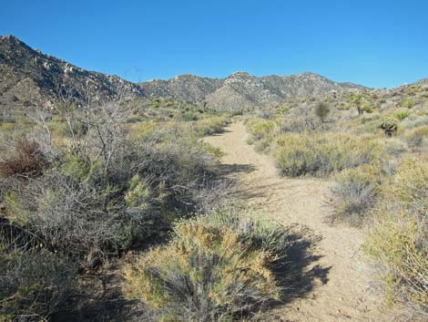
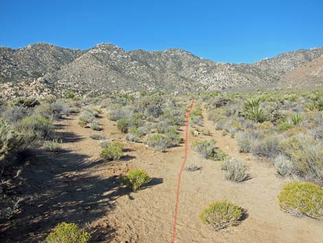
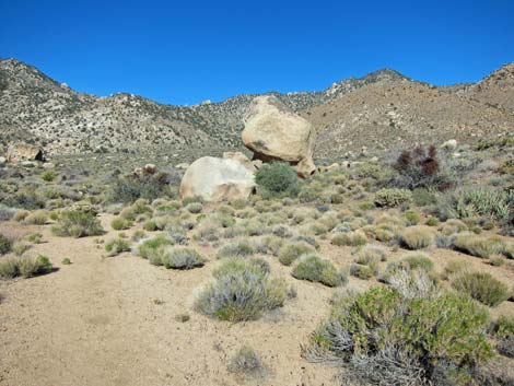
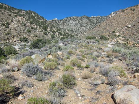
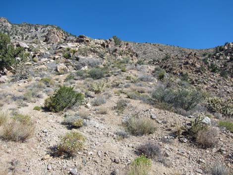
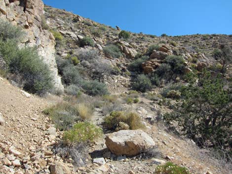
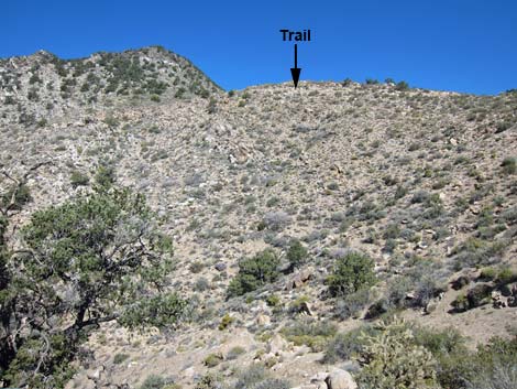
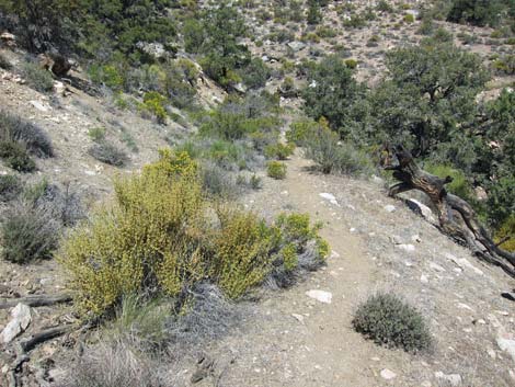
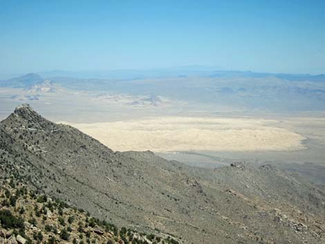
 Silver Peak and mine road scar (view W) |
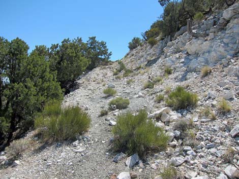
Overview The Silver Peak use-trail, an old mining road, offers a path deep into the Mojave Wilderness Area within the Granite Mountains. The old road starts up the gently sloping Cottonwood Valley, then climbs the alluvial fan below Silver Peak at moderate grades. After working through a rocky and tree-filled canyon, the old road ascends very steeply to ridges above. At more gentle grades, the old road ends some 250 vertical-feet below the summit. Steep use-trails then lead to the 6,400-ft summit, from which views stretch beyond the horizon. Although the road was put in at great effort and expense, there is no evidence that a mine was ever opened. Link to map or elevation profile. |
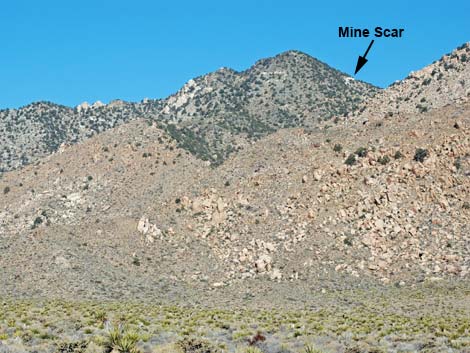
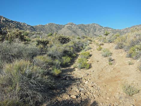
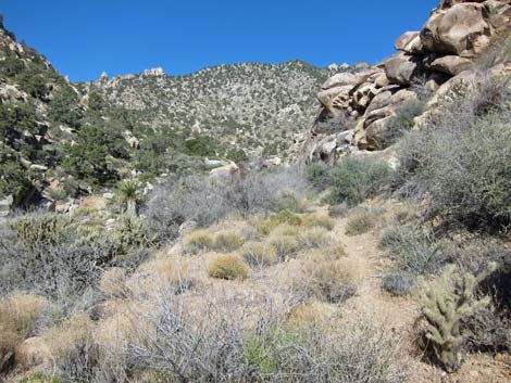
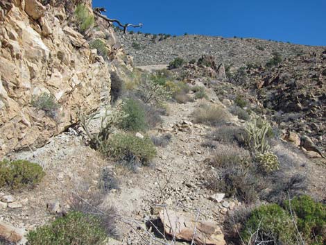
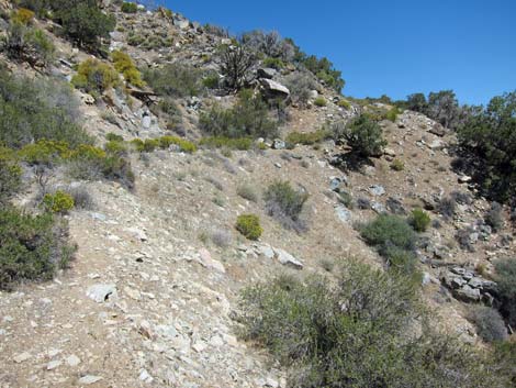
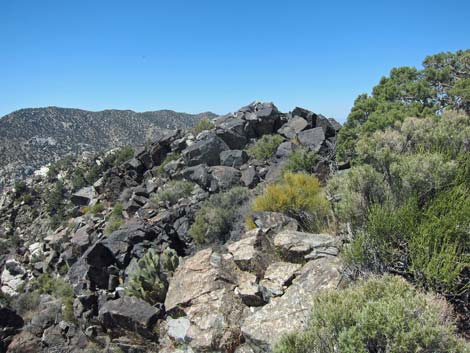
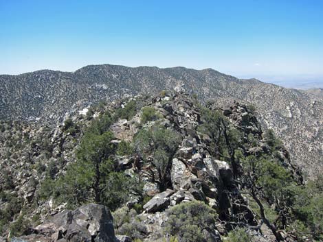
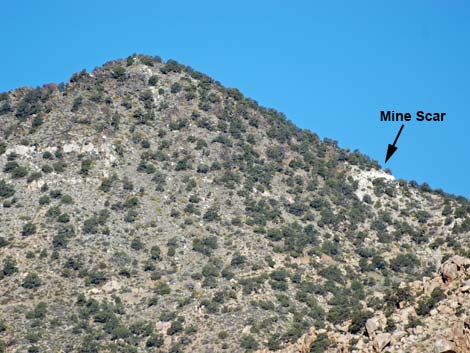 Route uses ridge above road scar (view W) |
Watch Out Other than the standard warnings about hiking in the desert, ...this hike is pretty safe. There are plenty of places to walk into a cactus or stumble off a steep hillside, but there are no unusual hazards. There is little shade along the route, so this hike is best done at cooler times of year. This route runs into the Sweeney Granite Mountains Desert Research Center, a research area and outdoor classroom for the University of California. Please generally stay on trail and don't mess with flagging or other study plot markers. While hiking, please respect the land and the other people out there, and try to Leave No Trace of your passage. Also, even though this is a short hike, be sure to bring what you need of the 10 Essentials. This hike goes into the Mojave Wilderness Area, so pay particular attention to protecting the land. |
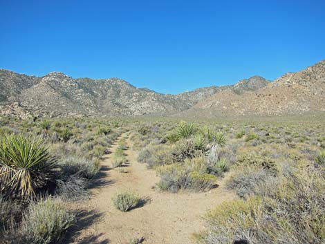
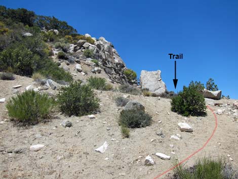
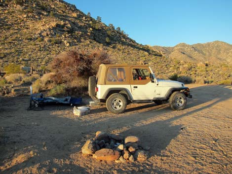 Silver Peak trailhead parking (view W) |
Getting to the Trailhead This hike is located in Mojave National Preserve, about 1-3/4 hours south of Las Vegas. From town, drive out to the Mojave National Preserve Visitor Center in Kelso. In Kelso, drive south on Kelbaker Road for 12.4 miles to Silver Peak North Road, an unmarked dirt road on the right. Drive southwest on Silver Peak North Road 1.8 miles to the end. Park here; this is the trailhead. |
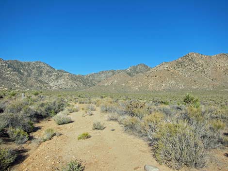
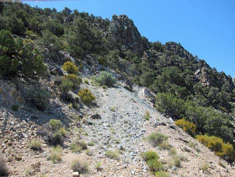
 Silver Peak trailhead at edge of road (view W) |
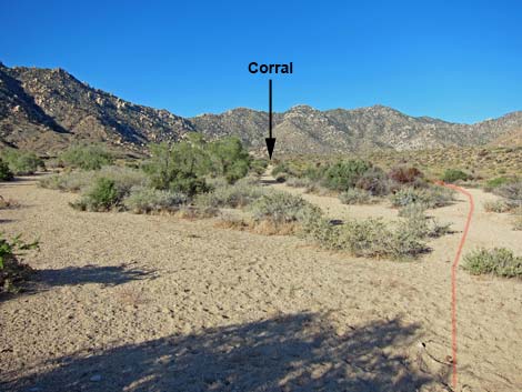
The Hike From the trailhead (Table 1, Waypoint 01), the old mining road descends at a moderate grade into the sandy wash below (Wpt. 02) and turns upstream to head west. About 5 minutes out, the sandy wash seems to split 3 ways (Wpt. 02). The left fork is the actual wash, the center fork is an old road that runs directly to an old corral (visible in the distance), and the right fork is the old road, which continues and soon becomes more apparent. The old road (Wpt. 04) passes north of the corral (Wpt. 05). For hikers interested in historic sites, consider using the cool of the morning to climb the peak, then visit the corral on the way down. |
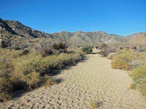 Sandy wash (view W) |
Cottonwood Valley is hot with little shade, but at least the soft sand underfoot ends not far beyond the corral. Running southwest, the old road forks (Wpt. 06), and the main road stays right. Shortly thereafter, the road encounters a gate without a fence (Wpt. 07); this probably marks entry into the UC Natural Area. Continuing southwest, the old road reaches a juniper tree (Wpt. 08) that offers the first bit of shade in 1.5 miles. If the day is warm, hikers are well advised to take advantage of it. Now running more to the west, the old road forks again (Wpt. 09). Here, the left fork runs out to Cottonwood Spring, while the route stays right. Shortly, the road arrives at a wide spot below large boulders (Wpt. 10). This was an old campsite area, and it seems to mark the end of the most-recent drivable road, as the road deteriorates considerably just beyond. |
 Wash forks 3 ways; route stays right (view W) |
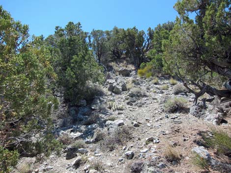
The now narrower and rockier road begins to climb the alluvial fan as it runs up the canyon to the west. The canyon narrows and where the road was cut into the canyon walls, hikers can see evidence of timbers that formerly held up the edge of the road. The old road crosses the wash (Wpt. 11) to the southwest side and continues upstream. Shortly, the old road crosses a side wash (Wpt. 12) at a point where the road is entirely washed away, and the brush is quite thick. Although hard to see, the old road continues across the side-wash on the contour. Be sure to watch for snakes when you can see your feet. The canyon bottom, now quite narrow, is choked with willow and oak trees, and at one point, hikers need to duck left and tunnel under the trees (which provide nice shade but no breeze). |
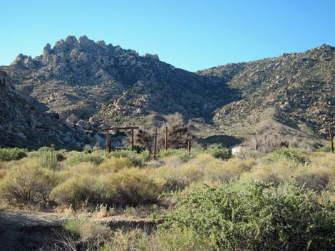 Historic corral (view S) |
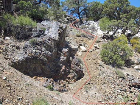
Emerging from under the trees, the old road cuts steeply out the north side of the canyon. The road forks (Wpt. 13), and again the route stays right. Now very steeply, the old road cuts up the hillside across east facing slopes. At what seems an impossible grade for a road, the route climbs onto a side-ridge (Wpt. 14), and indeed, the route seems to have short-cut what originally was two switchbacks in the road. Back to the "very steep" grade, the old road resumes cutting up and across the hillside to the northeast. At a corner on the skyline, a tall single-leaf pinyon pine (Wpt. 15) offers not only shade, but a breeze and there are boulders to sit and rest upon. Continuing, the road climbs up and across the hillside heading northeast, but now at a more moderate grade. The road wraps around the ridge and heads west on the north-facing slope where bits of shade can be found. The road climbs back onto the ridgeline at an old landing (Wpt. 16) where going up, the trail obviously stays right, but the wide spot with shrubs is a bit confusing on the way down (stay left). |
 |
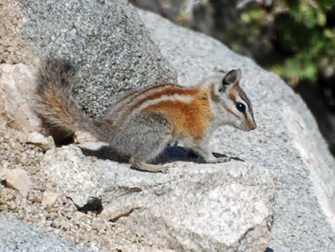
The old road runs west onto the south-facing side of the ridge, then climbs atop the ridge again and turns north to cut across steep slopes below the summit. The road runs onto another ridgeline and forks (Wpt. 17). As usual, the route stays right (the left ends shortly). Now on the north side of the peak, the road runs west to a corner (Wpt. 18). In this area, look for high-elevation species such as Panamint Chipmunks and Pinyon Jays, species unusual in this part of the Mojave Desert. At the corner, the road appears to climb steeply up a mine tailings pile, but the road curves hard left to make a switchback, and there is no evidence of anything other than road-building activities. |
 |
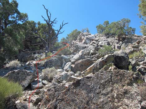
The road curves back to the east then bends a bit south and abruptly ends. Again, there is nothing to suggest anything other than road building activity, but the road ends at a large, metallic looking boulder (Wpt. 19). Use-trails cut very steeply up both sides of the boulder, but literally from the base of the boulder, the better route cuts up the right side of the boulder to a white rock outcrop and pinyon pine beyond. Ducking under the pine onto the ridge, a use-trail (lower) and cairn route (higher) climb to the summit. After climbing a 15-ft-high outcrop of black rock, it is only a few rocky yards across the summit ridge to the peak, which has a summit register. |
 |
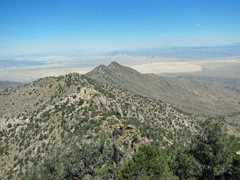
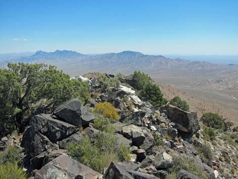
There seems to be some confusion about the height and location of this peak. Some maps and sources show the peak several hundred yards farther south on the ridge, and even give a higher elevation, but from the peaklet on the north end of the summit ridge (where the summit register is located), peaklets farther out look lower. Regardless, the views can't get any better farther out the summit ridge, as there are vast, vast views from this high vantage point. Views to the north run to Kelso Dunes and mountains into the far distance, far beyond Interstate 15. Even the Kingston Range (67 miles) and Mt. Charleston (102 miles) are visible. To the east are the Providence Mts. and others far off into Arizona. |
 |
To the south, Granite Mountain (1-2 miles) blocks most of the view, but over the ridge to the southeast, mountains stretch off into the haze, including the Clipper Mountains (17 miles), Van Winkle Mountains (6 miles), and Middle Hills (10 miles), Old Woman Mountains (33 miles), and possibly even the Big Maria Mountains (87 miles). To the east, Granite Mountain blocks much of the view, but over the ridge perhaps San Gorgonio (81 miles), the Transverse Ridges, and other mountains stretch off into the distance. Return to the trailhead by following the route back down. Consider detours to Cottonwood Spring and the old corral, and pay attention to left turns in the trail going down the steep hillsides. |
 Old road fork; stay right (view W) |
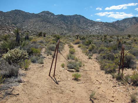 Gate with no fence (view W) |
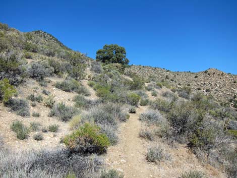
 Old road runs west |
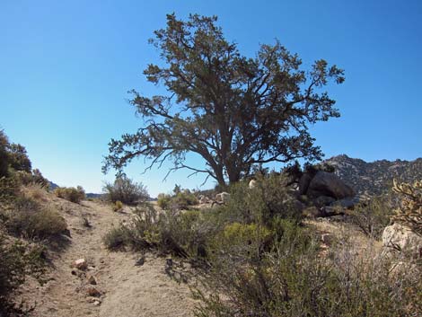
 California Juniper provides shade at 1.5 miles out (view W) |
 Boulders with old campsites (view W) |
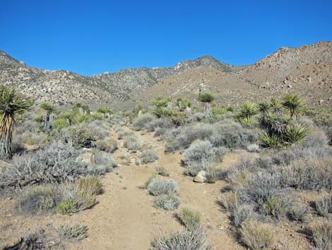
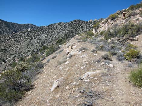
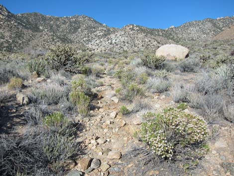 Road becomes rough and rocky (view W) |
 |
 |
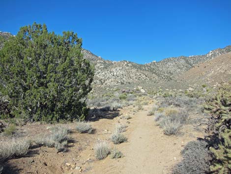
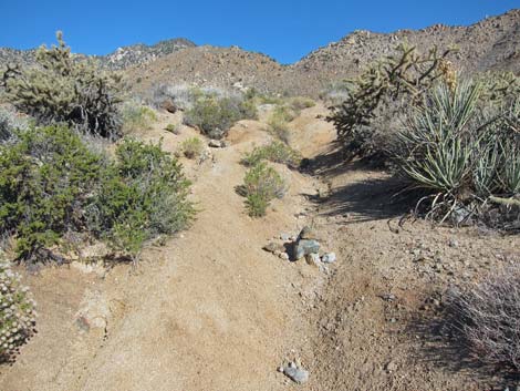
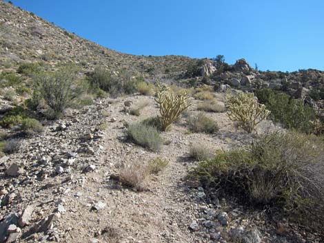
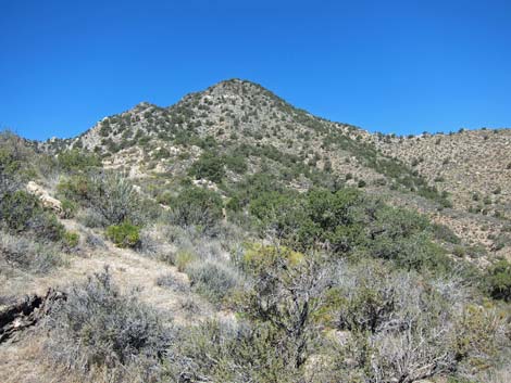
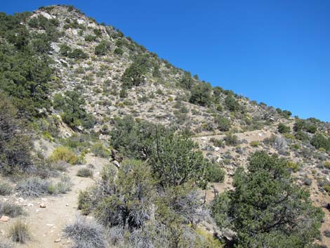
 Old road climbs towards canyon (view W) |
 Old road in canyon (view W) |
 Old road in canyon (view W) |
 Route burrows under Canyon Live Oak and Narrowleaf Willow |
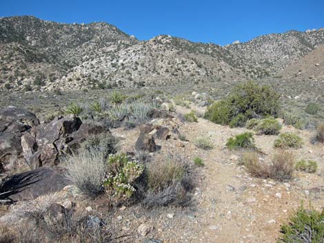
 Old road cuts steeply out of the wash (view NW) |
 Old road cuts steeply across the hillside (view N) |
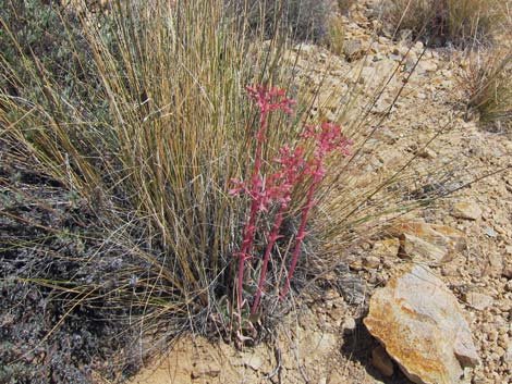 Desert Live Forever under Desert Needlegrass |
 Old road cuts steeply across the hillside (view N) |
 Old road cuts steeply across the hillside (view N) |
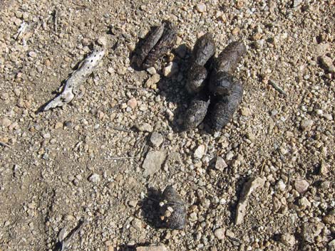 A thoughtful Bobcat left some Tootsie Rolls on the trail |
 Shady Single-leaf Pinyon Pine (view E) |
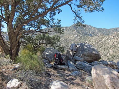 Delightful shade (view S) |
 Near shade tree (view NW towards summit) |
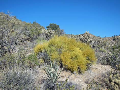 Mormon Tea in full bloom (view NW) |
 |
 |
 |
 |
 Road cuts across east-facing slope below summit |
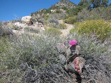
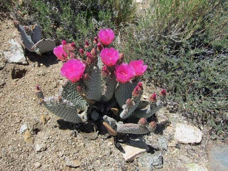 Trail ornament: Beavertail Pricklypear |
 |
 |
 Road appears to fork; stay right (view W) |
 Road cuts across north-facing slope below summit |
 Panamint Chipmunk near the summit |
 Road switchbacks across north-facing slope below summit (view E) |
 Metallic boulder at end of road (view W) |
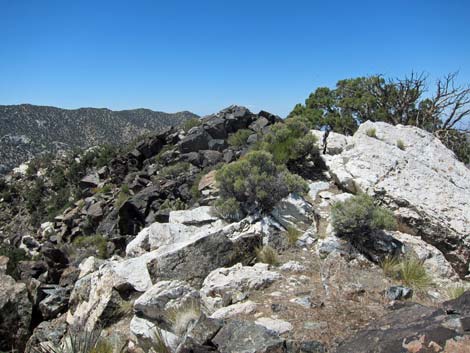
 Steep, rocky ridge marked with cairns (view up, west) |
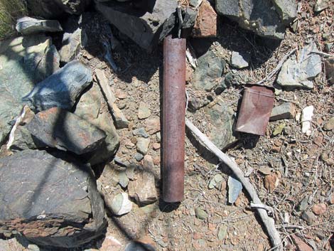 Mining claim marker (pipe) and cigar tin near summit |
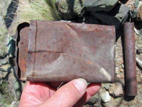 Miners put claim documents inside cigar tins (this tin was empty) |
 Fewer rocks near the crest of the summit ridge (view W) |
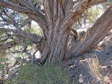 Huge Utah Juniper: main trunk is 30-in DBH |
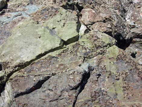 Colorful rock covering: epidote |
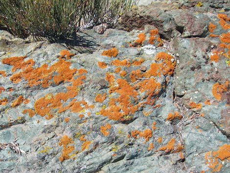 Colorful rock covering: orange lichens |
 Long view northward |
 Approaching buttress guarding summit ridge (view W) |
 Rocky summit ridge, approaching summit (view SW) |
 Rocky summit ridge, approaching summit (view SW) |
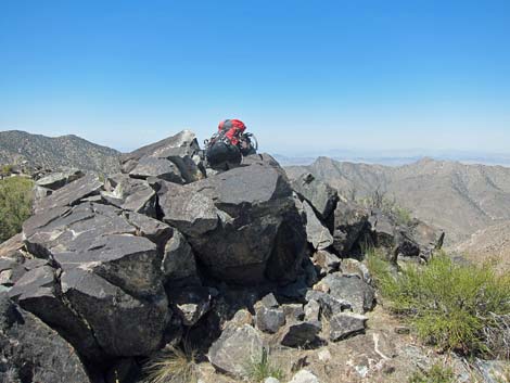 Summit with backpack (view W) |
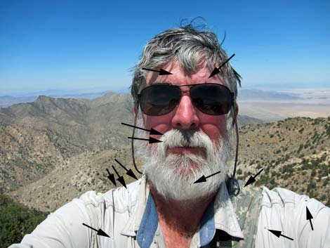 Hard to see, but lots of small beetles on me (view N) |
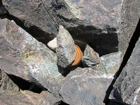 Summit register in tin cans |
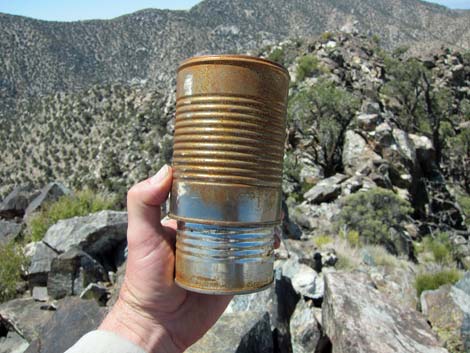 Summit register: can inside a can |
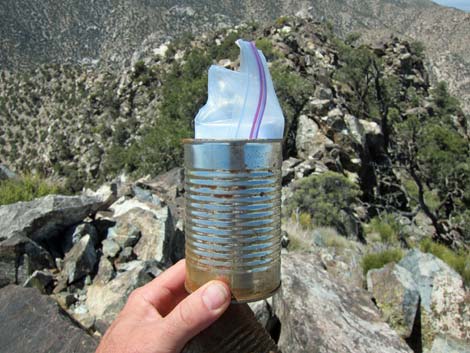 Summit register: plastic bag inside can |
 Grand Vista (view north towards Mt. Charleston) |
 Grand Vista (view north towards Kelso Dunes) |
 Grand Vista (view SW to Mt. San Gorgonio beyond Granite Mtn) |
 Grand Vista (view E to Panamint Range and mountains in Arizona) |
 Grand Vista (view SE over Granite Mtn. Clipper Mountains) |
| Wpt. | Location | UTM Easting | UTM Northing | Elevation (ft) | Point-to-Point Distance (mi) | Cumulative Distance (mi) | Verified |
|---|---|---|---|---|---|---|---|
| 01 | Trailhead | 623717 | 3853706 | 4,085 | 0.00 | 0.00 | GPS |
| 01A | Trailhead, Alternate | 623754 | 3853761 | 4,026 | 0.00 | 0.00 | GPS |
| 02 | Road Enters Wash | 623659 | 3853725 | 4,057 | 0.04 | 0.04 | GPS |
| 03 | Wash Splits | 623460 | 3853598 | 4,078 | 0.15 | 0.19 | GPS |
| 04 | Spur Trail to Corral | 623254 | 3853436 | 4,102 | 0.17 | 0.36 | GPS |
| 05 | Corral | 623289 | 3853392 | 4,071 | . | . | GPS |
| 06 | Road Forks | 622429 | 3852674 | 4,244 | 0.72 | 1.08 | GPS |
| 07 | Gate Without Fence | 622341 | 3852614 | 4,258 | 0.07 | 1.15 | GPS |
| 08 | Shade | 621811 | 3852370 | 4,337 | 0.39 | 1.54 | GPS |
| 09 | Faint Road South | 621710 | 3852372 | 4,353 | 0.06 | 1.60 | GPS |
| 10 | Old Campsite | 621577 | 3852367 | 4,366 | 0.08 | 1.68 | GPS |
| 11 | Road Crosses Main Wash | 620258 | 3852233 | 4,818 | 0.91 | 2.59 | GPS |
| 12 | Road Crosses Side Wash | 620196 | 3852207 | 4,869 | 0.05 | 2.64 | GPS |
| 13 | Road Forks | 620054 | 3852216 | 5,026 | 0.10 | 2.74 | GPS |
| 14 | Road onto Side Ridge | 619931 | 3852366 | 5,163 | 0.15 | 2.89 | GPS |
| 15 | Tree and Shade | 620062 | 3852579 | 5,401 | 0.24 | 3.13 | GPS |
| 16 | Landing on Ridgeline | 620057 | 3852717 | 5,619 | 0.19 | 3.32 | GPS |
| 17 | Road Forks | 619473 | 3853033 | 6,080 | 0.54 | 3.86 | GPS |
| 18 | Road Switchbacks | 619303 | 3852966 | 6,104 | 0.13 | 3.99 | GPS |
| 19 | Road Ends | 619407 | 3852933 | 6,170 | 0.09 | 4.08 | GPS |
| 20 | Summit | 619346 | 3852813 | 6,411 | 0.15 | 4.23 | GPS |
| 01 | Trailhead | 623717 | 3853706 | 4,085 | 4.23 | 8.46 | GPS |
Happy Hiking! All distances, elevations, and other facts are approximate.
![]() ; Last updated 240329
; Last updated 240329
| Hiking Around Mojave Preserve | Hiking Around Las Vegas | Glossary | Copyright, Conditions, Disclaimer | Home |