Hiking Around Las Vegas, Other Areas
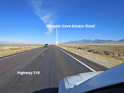 Highway 318 approaching Whipple Cave Access Road (view N) |
Overview Whipple Cave Access Road is a 2WD-HC road that provides access from Highway 318 to Whipple Cave and the edge of the Far South Egan Wilderness Area. Near the highway, the hump in the road is a bit high, but farther out, the hump levels out while the road becomes more rocky. There are several side roads, but the main road generally is obvious. Link to map. |
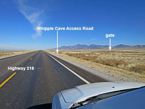 Highway 318 nearing access road: watch for gate (view N) |
Watch Out Other than the standard warnings about driving in the desert, ...this is a fairly safe road with no unusual hazards. Be sure the vehicle is in good working order and be sure to bring extra water. While hiking, please respect the land and the other people out there, and try to Leave No Trace of your passage. This area is fairly remote, so be sure to bring the 10 Essentials. This cave is in the Far South Eagens Wilderness Area, so pay particular attention to respecting the land. |
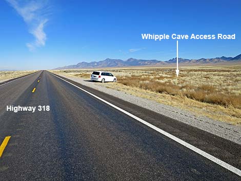 Highway 318 at Whipple Cave Access Road (view N) |
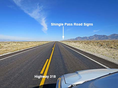
Getting to the Roadhead Whipple Cave is located on the west side of the Far South Egan Range, northeast of Sunnyside, about 200 miles north of Las Vegas. From Las Vegas, drive north on Interstate-15 for 21 miles to Highway 93 (Exit 64). Exit the interstate and drive north for 81 miles to Ash Spring, which is the last gasoline before the cave. From Ash Spring, drive north on Highway 93 for 2 miles to Highway 318 (Site 0677). Turn left onto Highway 318 and drive north 72.9 miles to an obscure side road to the right: the unmarked turnoff to Whipple Cave (Site 0930). Look for a wire-fence gate and the number 48 painted on the pavement. For those who miss the turn, watch for Shingle Pass Road, which has a sign on the highway and stop signs at the intersection. Cavers can use Shingle Pass Road to access roads that head south an connect with Whipple Cave Access Road. Shingle Pass Road is 2.2 miles north of Whipple Cave Access Road. |
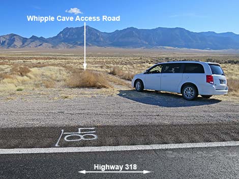 Whipple Cave Access Road: note #48 (view E from Highway 318) |
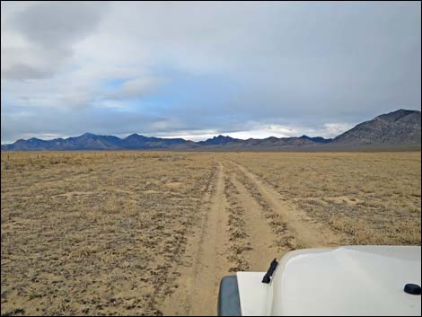
The Road From Highway 318 (Site 0930), Whipple Cave Access Road runs northeast 70 yards to a wire-fence gate. Passing through the gate, the road continues northeast. At about 1.5 miles out, the road passes a rusty old watering trough on the right. At 2.4 miles out, the road curves to the right, heading more easterly, and passes an intersection with a side road to the left. At 3.4 miles out, the road is running southeast along the base of the mountains, and another side road merges from the left. |
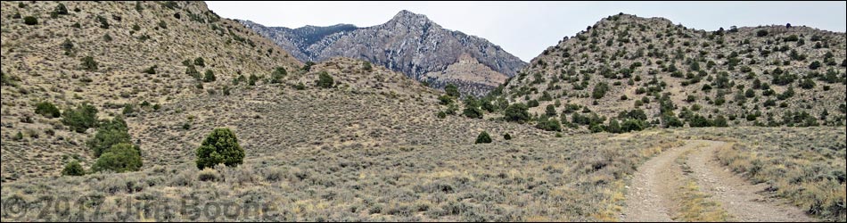
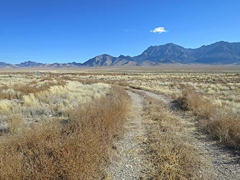 Start of Whipple Cave Access Road (view NE) |
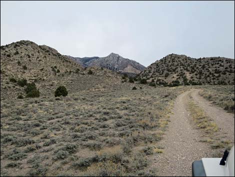
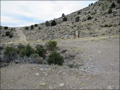
Climbing more steeply into the mountains, the road enters a canyon (3.8 miles out) and passes the first stand of trees. Shortly, the road forks. The lesser used road right leads past trees to campsites, while the main road crosses the wash and bends hard to the left. Just past the turn, information signs on the right announce the area and provide natural and cultural history about the cave. Without a 4WD, this is the best place to park. Otherwise, continue northwest 100 yards to the end of the road (Site 1176), 4.0 miles out. Be careful arriving at the end of the road because it is a small saddle -- and the far side is steep. |
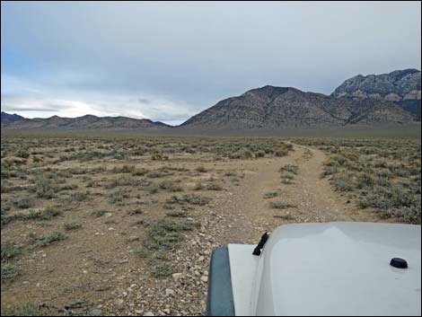
 Whipple Cave Access Road (view NE) |
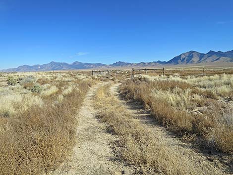
 Wire-fence gate in the highway fence (view NE) |
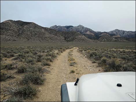
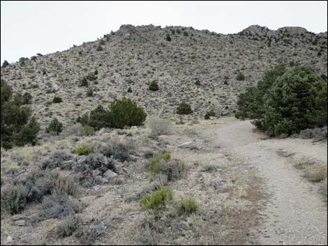
 Whipple Cave Access Road (view NE) |
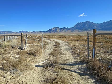
 Stay right (straight) at the intersection |
 Whipple Cave Access Road (view E) |
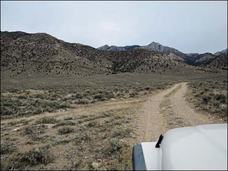 Side road merges from the left (view SE) |
 Entering the canyon (view SE) |
 Approaching the last fork (view NE) |
 Dipping to cross the wash (view NW) |
 Information signs (view N) |
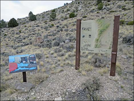
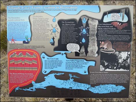 Ecology of caves sign (view N) |
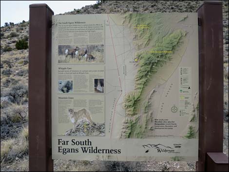 Far South Egans Wilderness sign (view N) |
 End of the road (view NW) |
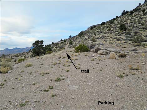 Start of the trail (view N) |
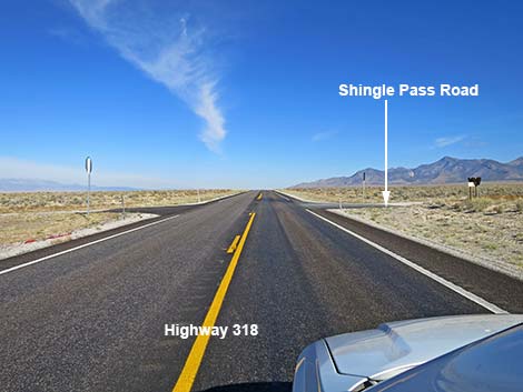
Highway 318 at Shingle Pass Road
 Highway 318 approaching Shingle Pass Road (view N) |
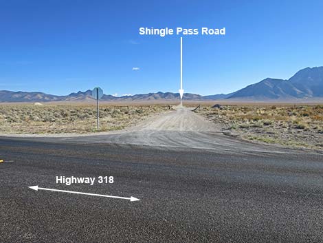
 Highway 318 at Shingle Pass Road (view N) |
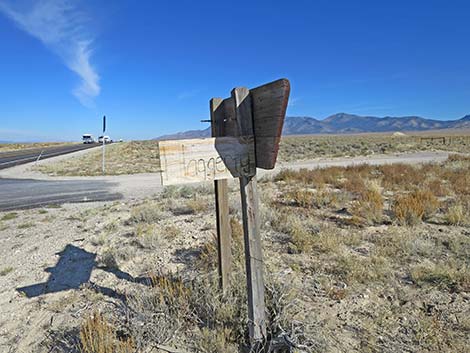 Shingle Pass Road sign; also note stop sign (view N) |
 Shingle Pass Road (view E from Highway 318) |
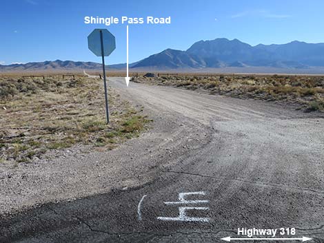 Note Road Number 44 (view E from Highway 318) |
 More to come ... |
Table 1. Highway Coordinates based on GPS data (NAD27; UTM Zone 11S). Download Highway GPS Waypoints (*.gpx) file.
| Site # | Location | UTM Easting | UTM Northing | Latitude (N) | Longitude (W) | Elevation (ft) | Verified |
|---|---|---|---|---|---|---|---|
| 0930 | Hwy 318 at Whipple Cave Turnoff | 672839 | 4261736 | 38.48909 | 115.01829 | 5,325 | Yes |
| 1176 | Whipple Cave Parking | 677077 | 4264396 | 38.51221 | 114.96906 | 6,142 | Yes |
Happy Hiking! All distances, elevations, and other facts are approximate.
![]() ; Last updated 240324
; Last updated 240324
| Hiking Around Las Vegas | Glossary | Copyright, Conditions, Disclaimer | Home |