Rock Art Around Las Vegas
Rock art is a precious resource. Please help protect and preserve these sites.
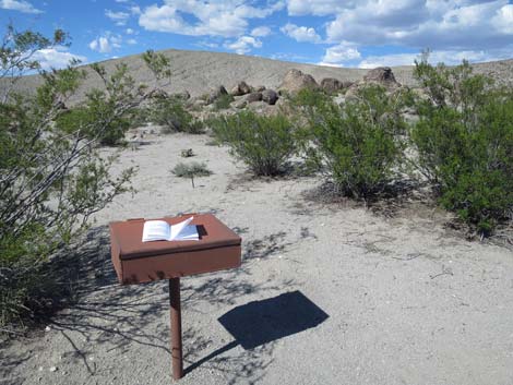 Trailhead sign-in register and brochure (view N) |
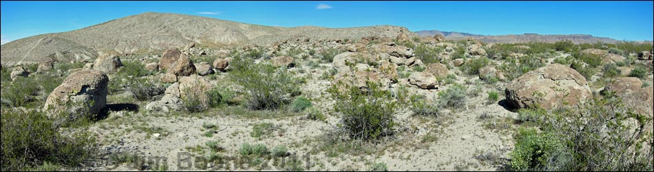
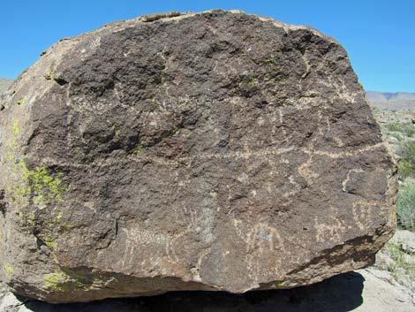
Overview The Ash Springs Petroglyph Site is an area of lightly desert-varnished boulders on a low hill overlooking the verdant Pahranagat Valley. Ancient people apparently liked the view, as they used the site as a winter camp. While there, they ground food, flaked stones, broke ceramic vessels, and etched the rocks with scenes of bighorn sheep, human figures, and intricate designs of all sorts. The BLM and Lincoln County opened this area to the public, and Lincoln County printed a brochure with information about the site (including GPS coordinates) as part of their Get Primitive tourism campaign. Download the brochure from Lincoln County or snatch a copy here. There are two other guides for this site: an older BLM brochure (scanned from paper; 11 Mb PDF) and a newer BLM-Nevada Rock Art Foundation brochure (3.5 Mb PDF; note that the map is wrong), or the Ash Spring Guide. For details of hiking through the area, see Ash Springs Petroglyph Site Hiking Trail. |
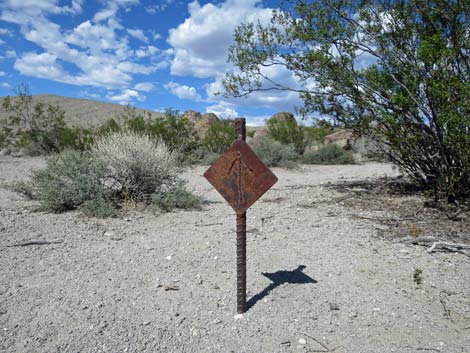 Diamond-shaped directional markers point the way |
Location Ash Springs petroglyph site is located in the Pahranagat Valley, about 100 miles north of Las Vegas on Highway 93. From town, drive north on Interstate 15 to US Highway 93. Exit onto Highway 93 and drive north past Alamo to the "town" of Ash Springs. After entering the 45-mph speed limit zone but before getting to "town," make a hard right turn onto the first dirt road to the right. The turnoff is nearly a U-turn to the right, but then Ash Springs Petroglyph Site Road angles away from the highway to the east. After crossing the cattle guard, the road forks. Ash Springs Road forks left, but the road is blocked by a wire gate. Open the wire gate, drive through, and close it behind you. Proceed a minute or two farther to what appears to be a fork in the road. The "left fork" is the parking area, which is adjacent to the sign-in register. Note that in this area, gasoline is available only in Alamo and Ash Springs. |
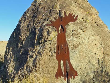 Marker style used at this site |
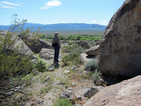
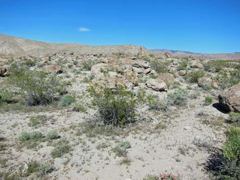
Hours The area is always open, but it probably should be considered day-use only. There are no established camping areas here, but campers can continue up the road to find a roadside primitive site. Fees None. The Hike From the trailhead parking, stop at the sign-in register and pick up a map. Note however, the map in the new brochure is confusing, but the trail and the marked sites are accurately represented in space and scale. The trail makes a 0.3-mile loop, starting to the right, past 18 numbered sites that highlight different aspects of Native American life here. For details of the hike, see Ash Springs Petroglyph Site Hiking Trail. There are 18 numbered sites: Site 1, Site 2, Site 3, Site 4, Site 5, Site 6, Site 7, Site 8, Site 9, Site 10, Site 11, Site 12, Site 13, Site 14, Site 15, Site 16, Site 17, Site 18. |
 Site 4 |
 Site #6 |
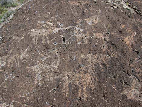
 Site 5 |
 Site 5 |
 Site 11 |
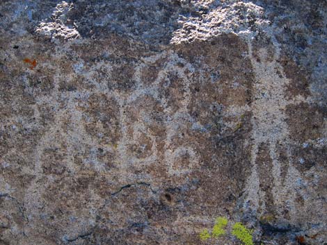
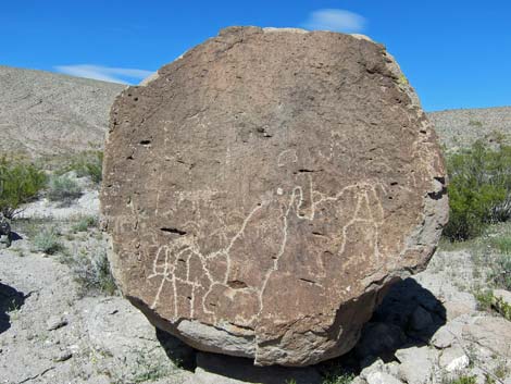
 Site 12; Bighorn Sheep |
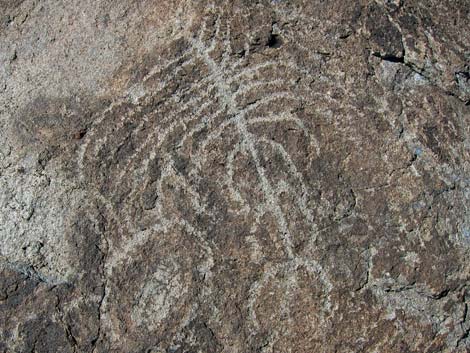
 Site 15; Atlatl |
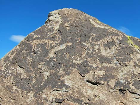
 Site 17; Bighorn Sheep |
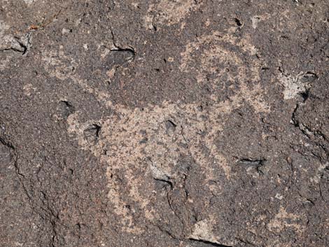 Site 17; Bighorn Sheep with Atlatl |
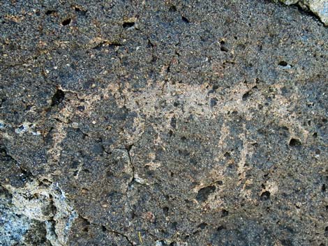 Site 17: Coyote |
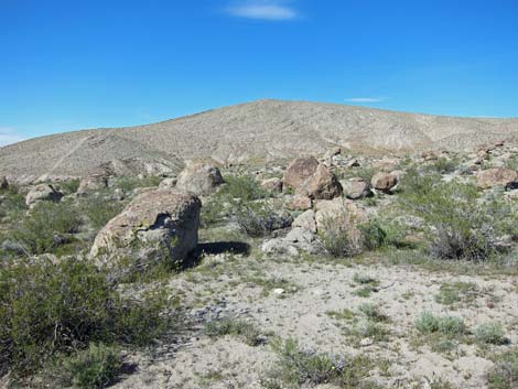
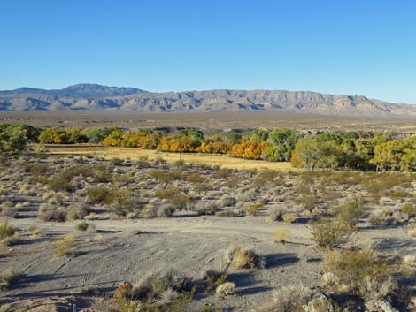 Pahranagat Valley (view SW from Site 17) |
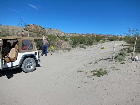 Be sure to close the wire gate on the way out |
 |
 |
Happy Hiking! All distances, elevations, and other facts are approximate.
![]() ; Last updated 240323
; Last updated 240323
| Petroglyphs | Glossary | Copyright, Conditions, Disclaimer | Home |