Rock Art Around Las Vegas
Rock art is a precious resource. Please help protect and preserve these sites.
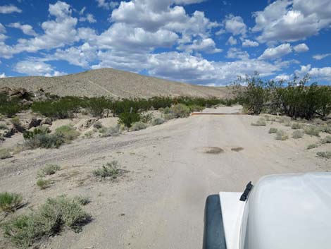
 Highway 93 at Ash springs Archeological Site Road (view N) |
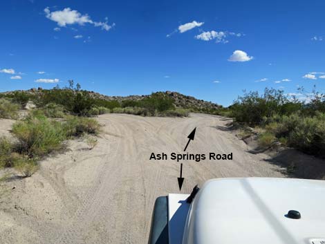
Overview Ash Springs Petroglyph Site Road is a short, rarely graded road that runs from Highway 93 to the trailhead of the Ash Springs Petroglyph Trail. From the pavement northbound, the road hooks hard to the right beneath a home on the hill. Running generally southeast, the road runs up to a fork. Both forks get there, but the right fork is the gentler road. The forks merge just before a cattle guard. Crossing the cattle guard, the road runs up to another fork. Here, the road stays left and passes through a wire gate. Be sure to leave the gate as found, either open or closed. A couple hundred yards farther up, the road bends to the left and seems to fork again. This time, however, the left fork is the parking area for the petroglyph trail. Links to Road Map. |
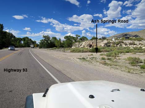
 Ash springs Archeological Site Road (view E from Highway 93) |
Location Ash Springs Petroglyph Site Road is located in the Pahranagat Valley, about 100 miles north of Las Vegas on Highway 93. From town, drive north on Interstate 15 to US Highway 93 (Table 1, Site 0674). Exit onto Highway 93 and drive north past Alamo to the village of Ash Springs. After entering the 45-mph speed limit zone but before getting to gas station, make a hard right turn (Site 1093) onto the first dirt road to the right, which is Ash Springs Petroglyph Site Road. The turnoff is nearly a U-turn, but then Ash Springs Petroglyph Site Road angles away from the highway to the east. The road is blocked by a barbed-wire gate (Site 1094). Open the barbed-wire gate, drive through, and close it behind you. Proceed a minute or two farther to what appears to be a fork in the road. The "left fork" is the parking area (Site 1094) for the Ash Springs Petroglyph Site. The sign-in register on the edge of the road marks the start of the trail. |
 Staying right at the first fork is easier (view SE) |
 Left fork merges just before a cattle guard (view E) |
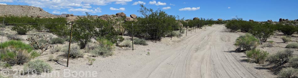
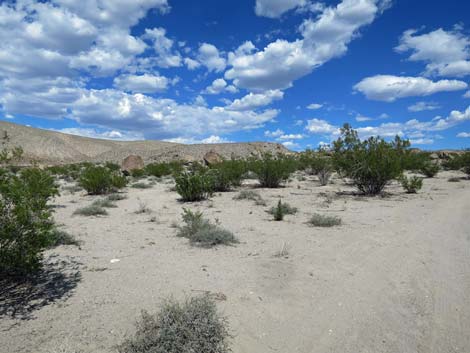
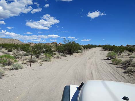 Road runs along a barbed-wire fence (view SE) |
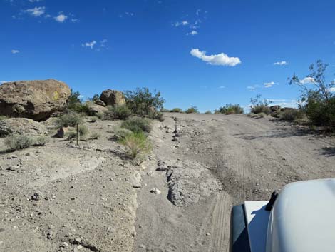
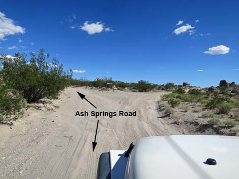 The road forks again: stay left (view SE) |
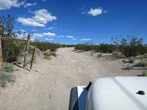 Wire-fence gate (view SE) |
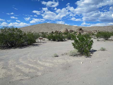
 Inside the gate, the petroglyph boulders are visible (view E) |
 Rounding the last corner (view SE) |
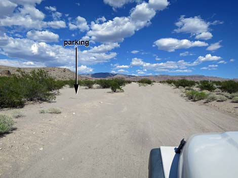 Trailhead parking on the left (view E) |
 Trailhead parking (view N) |
 Sign-in register at edge of parking area (view N) |
Table 1. Highway Coordinates based on GPS data (NAD27; UTM Zone 11S). Download Highway GPS Waypoints (*.gpx) file.
| Site # | Location | UTM Easting | UTM Northing | Latitude (N) | Longitude (W) | Elevation (ft) | Verified |
|---|---|---|---|---|---|---|---|
| 1093 | Ash Spring Petros Turnoff | 659834 | 4147187 | 37.45959 | 115.19282 | 3,606 | GPS |
| 1094 | Ash Spring Petros Gate | 660065 | 4147047 | 37.45829 | 115.19024 | 3,665 | GPS |
| 1095 | Ash Spring Petros Parking | 660205 | 4146968 | 37.45756 | 115.18867 | 3,686 | GPS |
Happy Hiking! All distances, elevations, and other facts are approximate.
![]() ; Last updated 240323
; Last updated 240323
| Petroglyphs | Glossary | Copyright, Conditions, Disclaimer | Home |