Hiking Around Las Vegas, Gold Butte National Monument
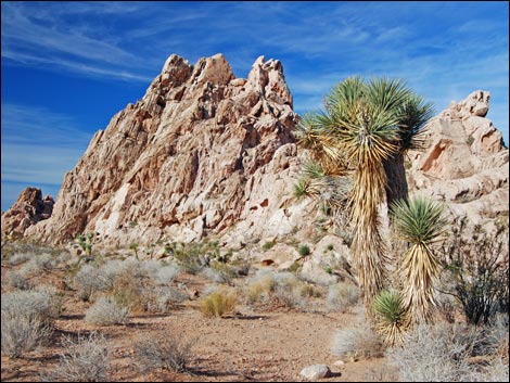 |
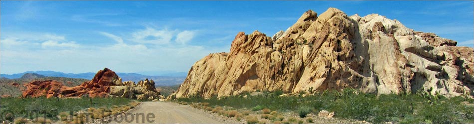
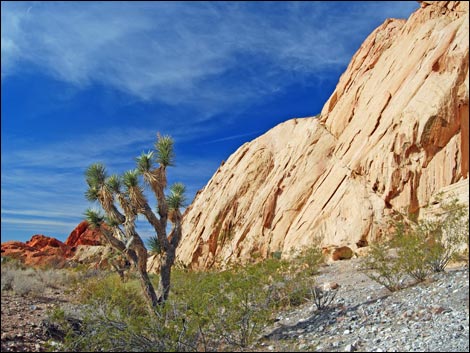
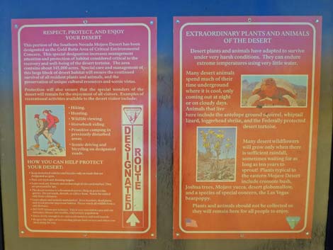
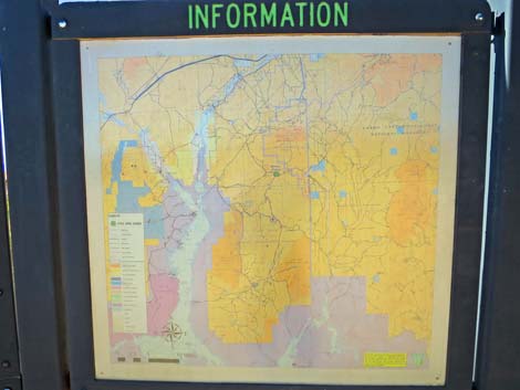
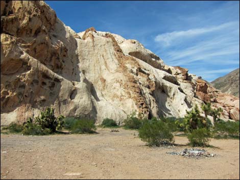
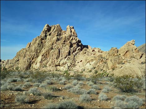
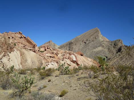
Overview Whitney Pocket is a popular undeveloped camping and picnic area way out in the desert nestled up against sculpted red-and-white sandstone crags at the foot of limestone-gray Virgin Peak. Humans have a long history here, evidenced by rock art and agave-roasting pits left by the ancients and by cement dams and other structures left by ranchers and the Civilian Conservation Corps (CCC). This is an interesting place to visit and commune with the history and scenery of this wild and rugged region. Link to map. |
 |
Watch Out Other than the standard warnings about hiking in the desert, ... this is a wild and remote area without services of any kind (no restrooms, no water, no gas, no food). Bring what you need to survive. Be prepared and be self-reliant. Someone will find you eventually if you stay on a main road, but be prepared to survive alone for a day or two. Cell phones only work along parts of the paved road. While visiting Whitney Pocket, please respect the land and the other people out there, and try to Leave No Trace of your passage. Also, this is a remote area, so be sure to bring the 10 Essentials, even if you leave them in the car. Be sure to bring trash bags to clean up after people who care less about wild places than you do. |
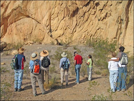 Friends of Gold Butte learn about agave-roasting pits |
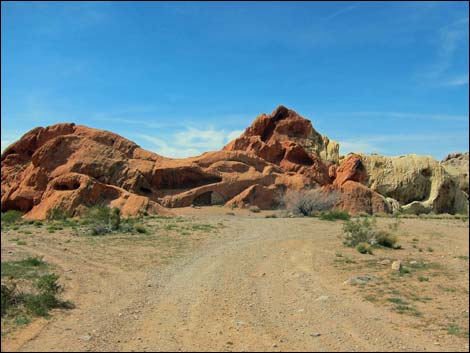
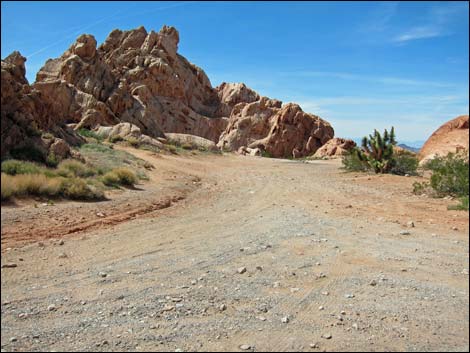
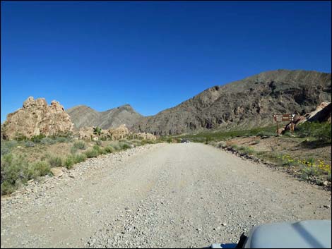
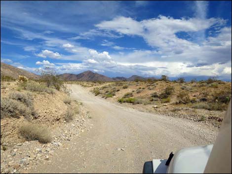
Getting to Whitney Pocket Whitney Pocket is located out in Gold Butte National Monument at the northeast end of Lake Mead, about 2 hours northeast of Las Vegas in a wild, remote, and scenic area. From town, drive out to Gold Butte National Monument. Drive east on Interstate-15 to Highway 170. Take Exit 112 towards Riverside and Bunkerville. Drive south and cross the Virgin River, then quickly turn right onto the paved Gold Butte Road. Follow the pavement (there are no paved side roads) for 21 miles until it ends at Whitney Pocket (Table 1, Site 0461). Gold Butte Road actually enters the "Whitney Pocket Area" at about 19.7 miles out where Black Butte Road (Site 1004) branches off to the right. This is considered part of the area because there are several campsites around the sandstone crags about 300 yards down Black Butte Road. The campsites can also be accessed by another dirt road at 19.9 miles out. This road runs down along the other side of the sandstone crags. |
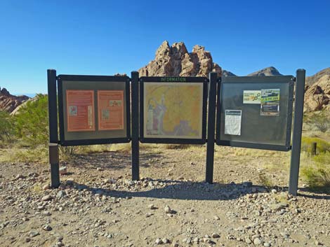
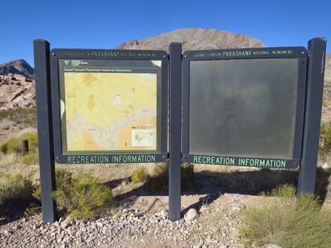
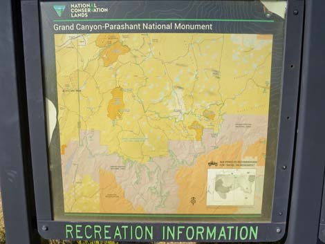
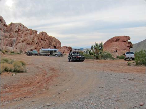
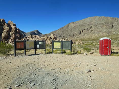 Information signs at day-use parking (view N) |
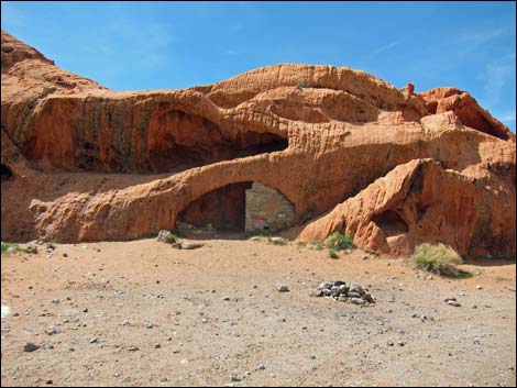
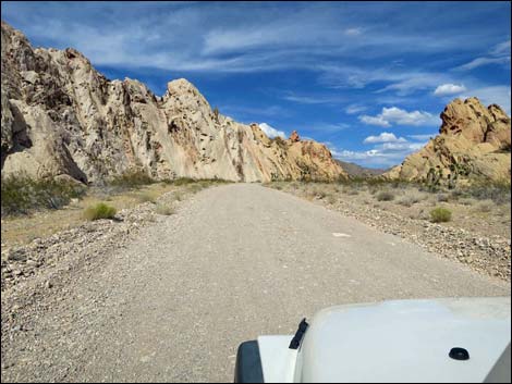
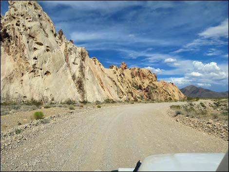
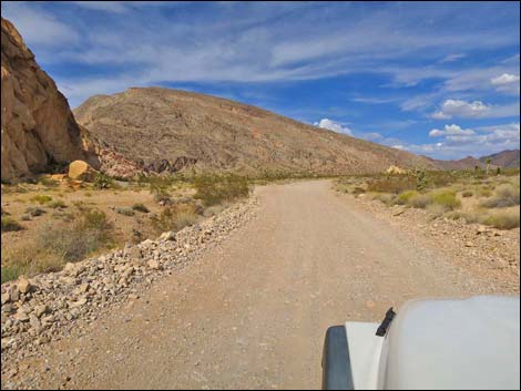
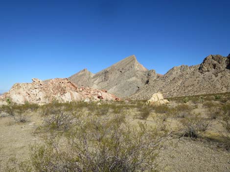
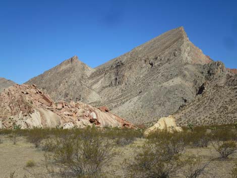
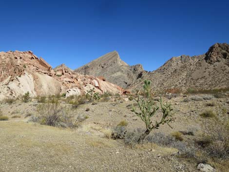
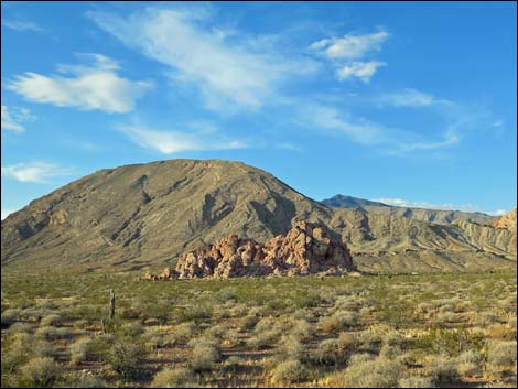
Whitney Pocket Between towering sandstone crags, Gold Butte Road changes from pavement to graded dirt as it enters the Whitney Pocket area and passes a campsite on the right. Just past the crags, unpaved Gold Butte Road passes a side road (Site 1657) to the right that leads a few yards to a large day-use parking area with information signs. This area is big enough to turn around long trailers and off-load ATVs. Some people camp here, but the road continues west to better campsites among the crags. A few yards farther south on Gold Butte Road, Whitney Pass Road (Site 0462) forks to the left and runs east over the mountains into Arizona, but not before passing several campsites, historic structures (CCC Dam [Site 1658] and CCC Store Room), and agave roasting pits nestled among sandstone crags. There are no other formal attractions; rather, this is an area to camp, relax, poke around, and look for interesting things like the historic CCC structures and evidence of native Americans in the area. |
 |
 |
 |
 |
 |
 |
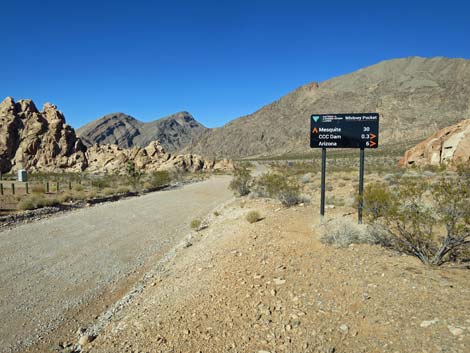 Road sign on Gold Butte Road at the Whitney Pass Road (view N) |
 Day-use parking (mostly for unloading ATVs) |
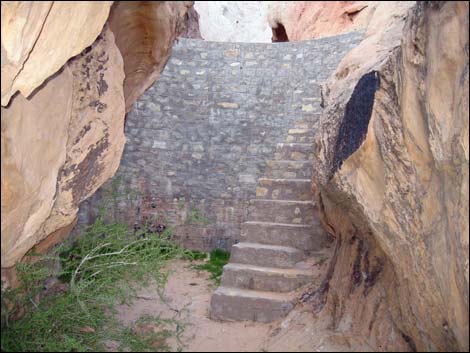 Whitney Pocket CCC dam |
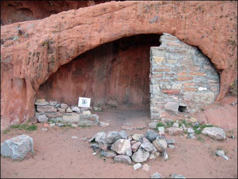 Whitney Pocket CCC storage room |
 Campsites |
 Campsites |
 Campsites by CCC Storeroom |
 Campsite by CCC Storeroom |
 First Campsite on the right at the end of the pavement |
 First Campsite on the right at the end of the pavement |
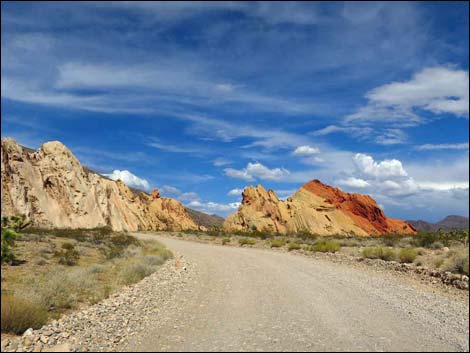
 Gold Butte Road, approaching Whitney Pocket (view N) |
 Gold Butte Road at Whitney Pocket (view N) |
 Whitney Pass Road at Whitney Pocket (view E) |
 Whitney Pass Road at Whitney Pocket (view E) |
 Whitney Pass Road at Whitney Pocket (view E) |
 Whitney Pass Road at Whitney Pocket (view E) |
 Whitney Pass Road at Whitney Pocket (view E) |
 Whitney Pass Road at Whitney Pocket (view E) |
 Whitney Pass Road at Whitney Pocket (view E) |
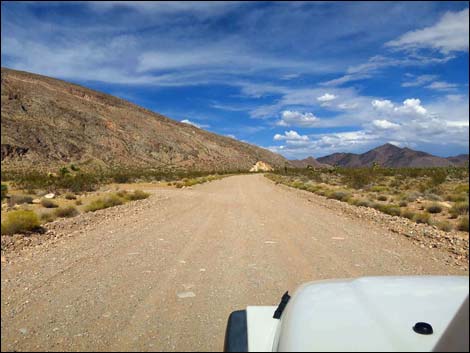 Whitney Pass Road at Whitney Pocket (view E) |
 |
 |
 |
 |
 |
 |
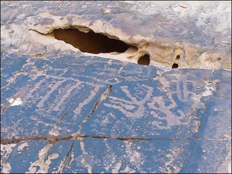 Petroglyphs at Whitney Pocket |
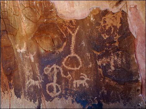 Petroglyphs at Whitney Pocket |
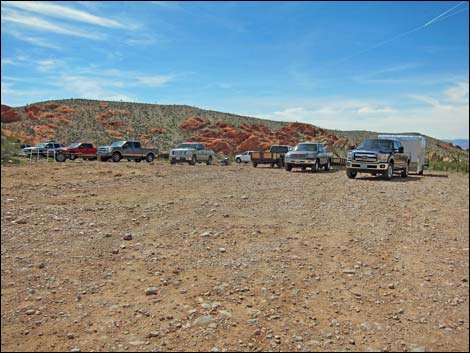
 Crowded day-use parking area (view SW) |
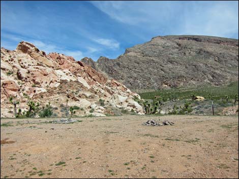
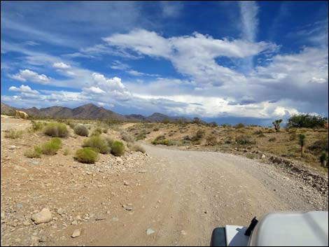
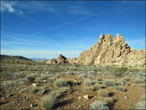
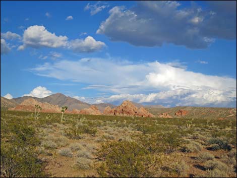
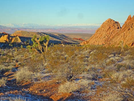
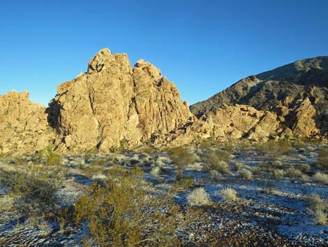
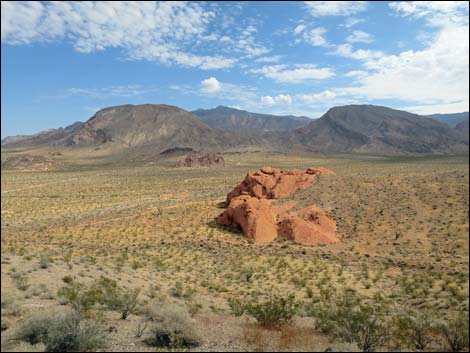
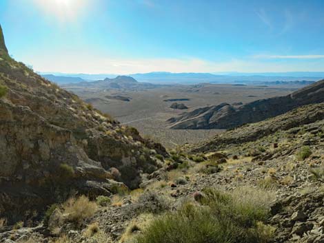
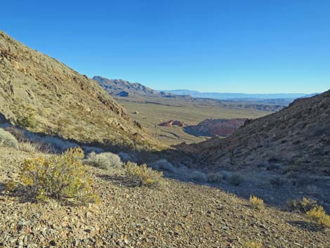
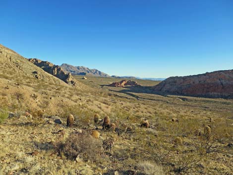
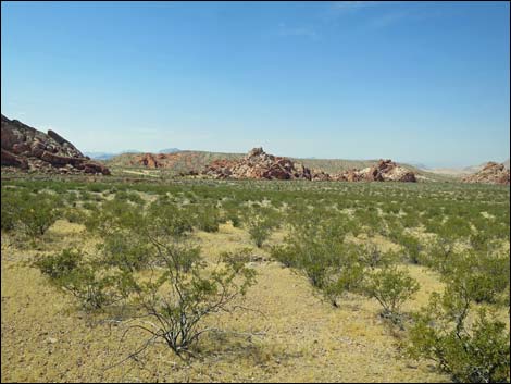 Wide, open scenery (view SW) |
 |
 |
 Wide, open scenery (view E) |
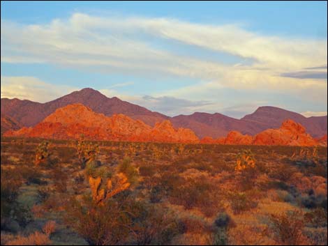 Sunset (view E) |
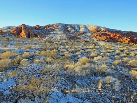 Winter at Whitney Pocket (view SW) |
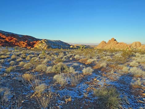 Winter at Whitney Pocket (view W) |
 Winter at Whitney Pocket (view W) |
 Winter at Whitney Pocket (view N) |
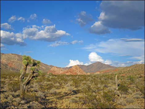
 Wide, open scenery (view NE towards Virgin Peak) |
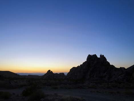 Sunset |
 |
 |
 |
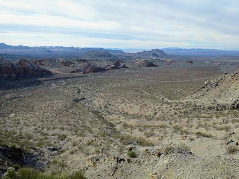 |
Table 1. Highway Coordinates Based on GPS Data (NAD27; UTM Zone 11S). Download Highway GPS Waypoints (*.gpx) file.
| Site | Location | UTM Easting | UTM Northing | Latitude (N) | Longitude (W) | Elevation (ft) |
|---|---|---|---|---|---|---|
| 0461 | Gold Butte Rd at End of Pavement | 756118 | 4045703 | 36.52425 | 114.13964 | 3,023 |
| 0462 | Gold Butte Rd at Arizona Road | 756161 | 4045602 | 36.52333 | 114.13919 | 3,013 |
| 1004 | Gold Butte Rd at Black Butte Rd | 754183 | 4046327 | 36.53039 | 114.16102 | 2,776 |
| 1657 | Gold Butte Rd at Day-Use Parking | 756138 | 4045631 | 36.52360 | 114.13944 | 2,961 |
| 1658 | Arizona Road at CCC Dam Parking | 756545 | 4045606 | 36.52326 | 114.13490 | 3,069 |
| 1939 | Whitney Pocket Day-Use Parking | 756112 | 4045545 | 36.52283 | 114.13976 | 3,012 |
Happy Hiking! All distances, elevations, and other facts are approximate.
![]() ; Last updated 241113
; Last updated 241113
| Hiking Around Gold Butte | Hiking Around Las Vegas | Glossary | Copyright, Conditions, Disclaimer | Home |