Hiking Around Las Vegas, Gold Butte National Monument
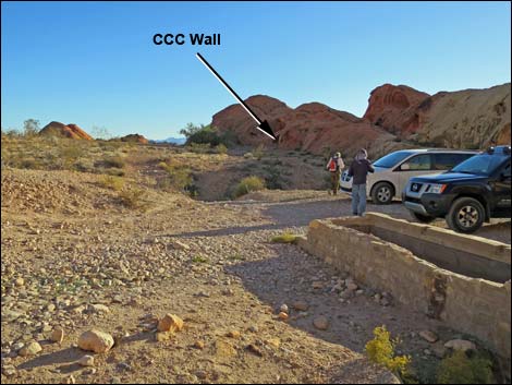
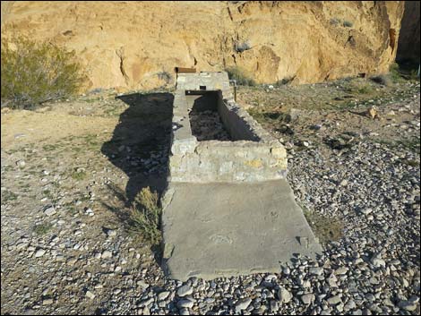
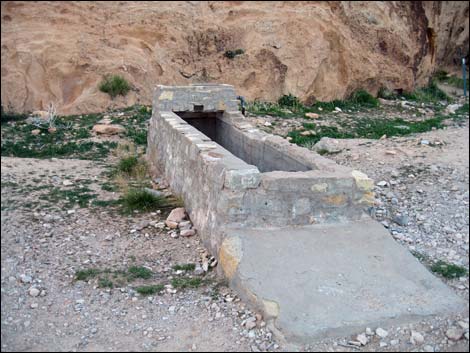
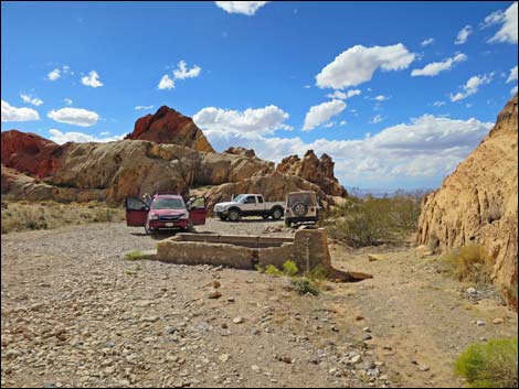
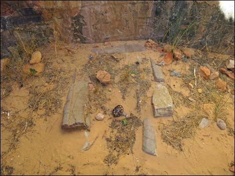
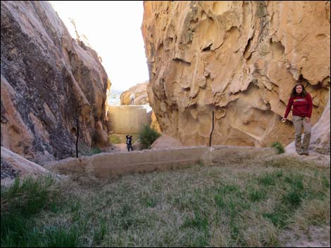
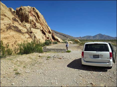 Trailhead parking adjacent to stone watering trough (view E) |
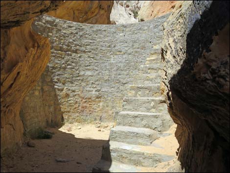
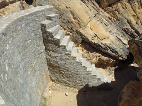
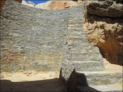
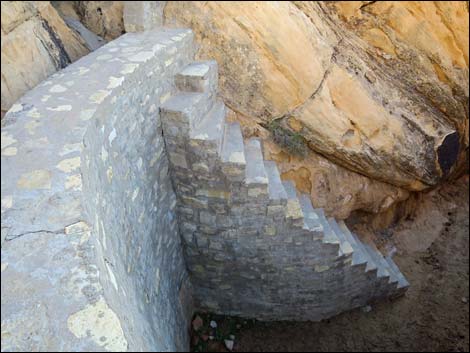
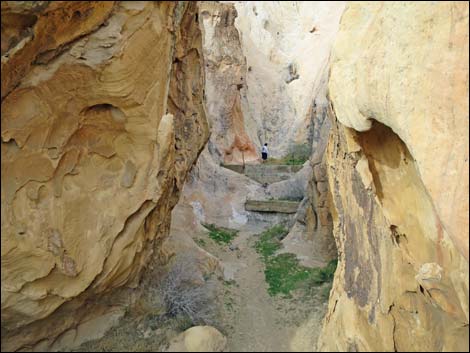
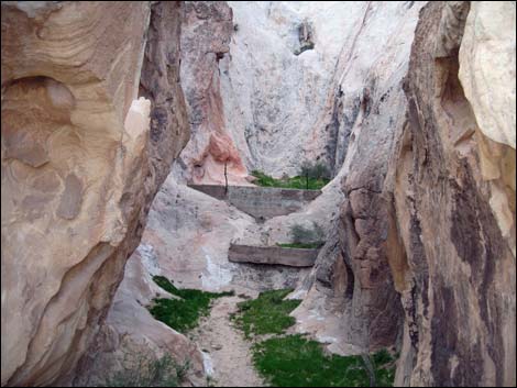
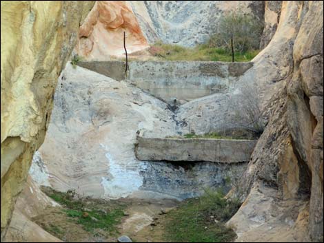
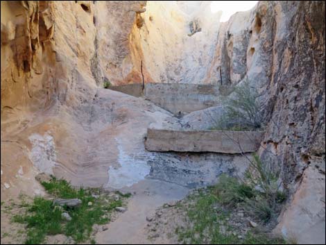
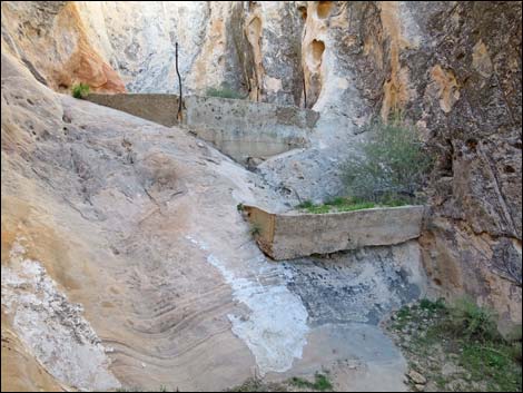
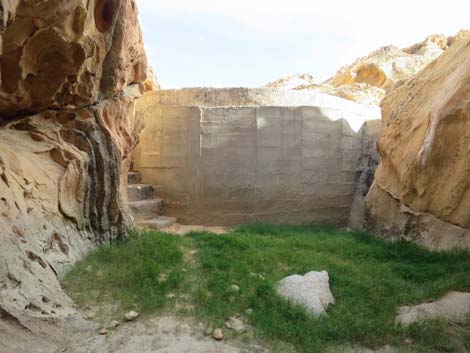
Overview Whitney Pocket is a popular undeveloped camping and picnic area way out in the desert nestled up against sculpted red-and-white sandstone crags at the foot of Virgin Peak. Humans have a long history here, evidenced by rock art and agave-roasting pits left by the ancients, and by cement dams and other structures left by ranchers and the Civilian Conservation Corps (CCC). It is a short walk (about 450 feet round-trip) to the dam, which was built by the CCC during the Great Depression when the federal government put men to work so they could send money home to feed their families. People really worked for their welfare during those days! The quality of the work is evident in the design and workmanship of the dam. Link to map. |
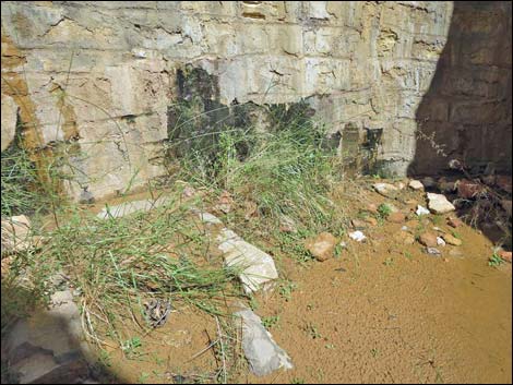
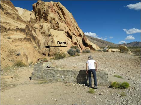 Watering trough near entrance to CCC dam (view E) |
Watch Out Other than the standard warnings about hiking in the desert, ... this area is fairly safe, but the stairs are steep and without a railing, so be careful when high enough to fall and get hurt. This is wild and remote country without services of any kind (no restrooms, no water, no gas, no food). Bring what you need to survive. Be prepared and be self-reliant. It is a big place, but someone will eventually find you if you stay on a main road, but be prepared to survive alone for a day or two, or even longer on side roads. While visiting Whitney Pocket, please respect the land and the other people out there, and try to Leave No Trace of your passage. Also, this is a remote area, so be sure to bring the 10 Essentials. Be sure to bring trash bags to clean up after people who care less about wild places than we do. |
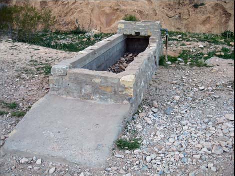
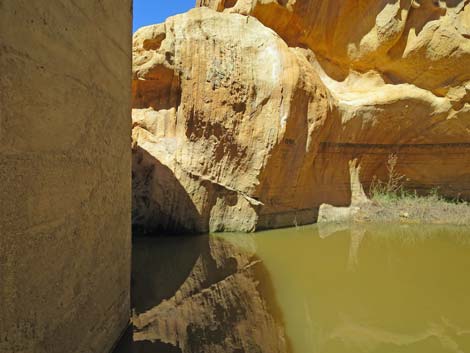
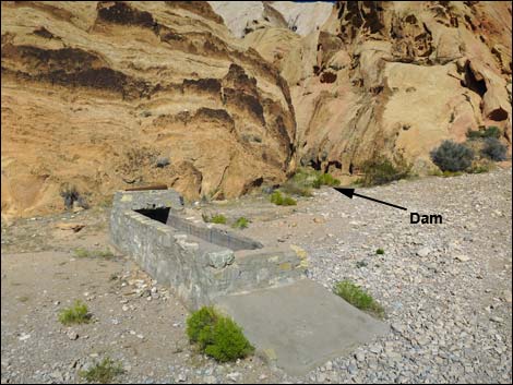 Watering trough and entrance to CCC dam (view E) |
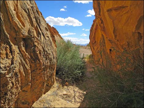
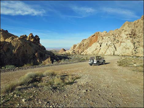
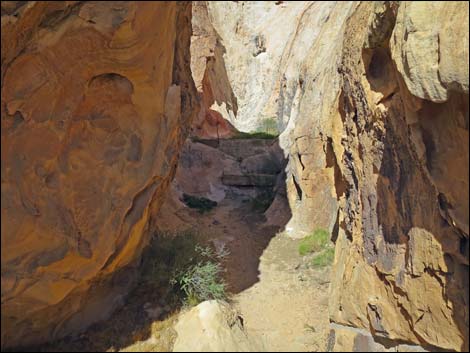
Getting to the Trailhead Whitney Pocket CCC Dam is located out in Gold Butte National Monument at the northeast end of Lake Mead, about 1.5 hours northeast of Las Vegas in a wild, remote, and scenic area. Drive out to Gold Butte National Monument and follow the paved Gold Butte Road south to Whitney Pocket. At Whitney Pocket, turn left and drive east on the Whitney Pass Road about 500 yards (0.27 miles) to a wide spot on the left (north) side of the road. This is just before the road curves right and dips across a wash. Park here; this is the trailhead. |
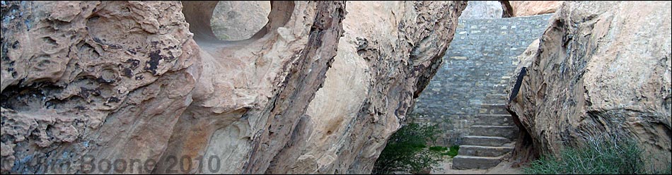
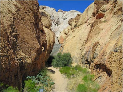
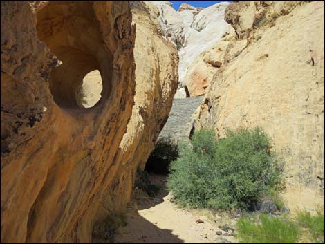
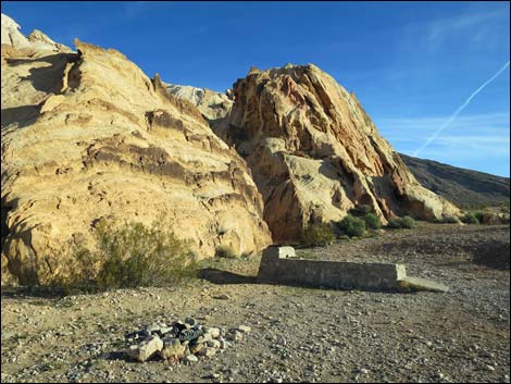
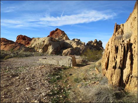
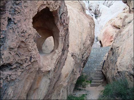
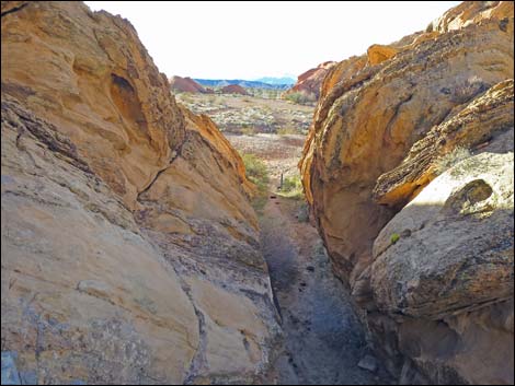
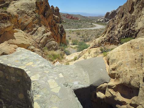
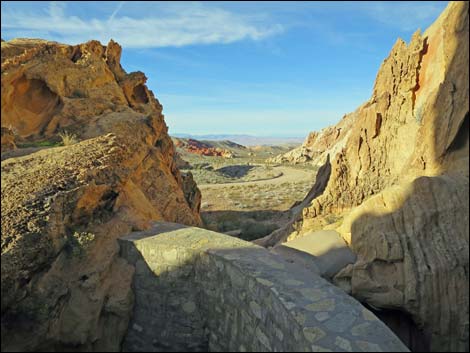
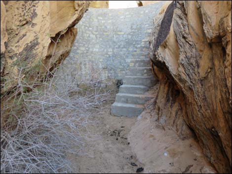
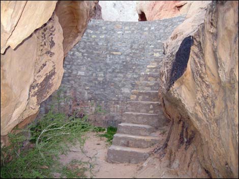
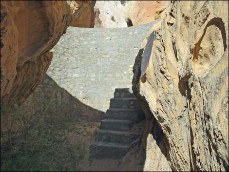
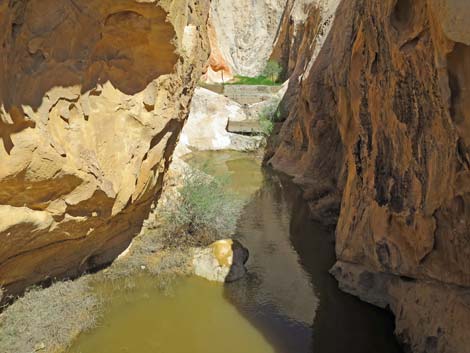
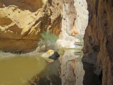
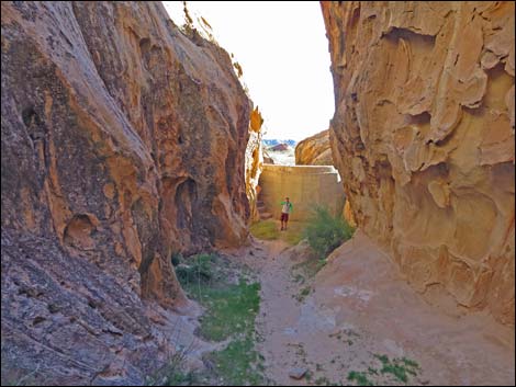
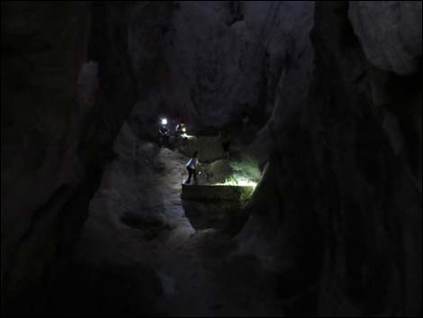
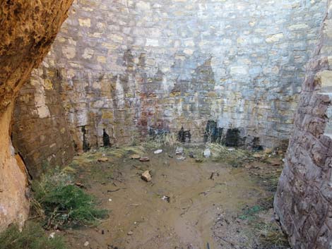
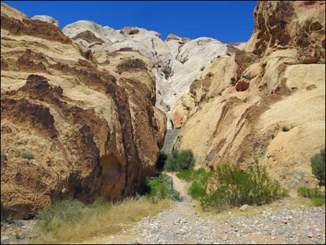 Entrance to the dam canyon (view N) |
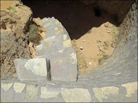
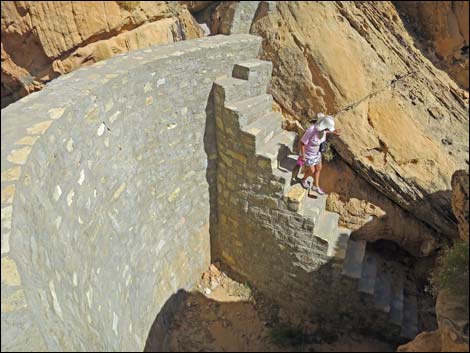
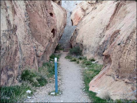
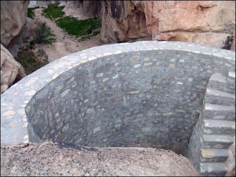
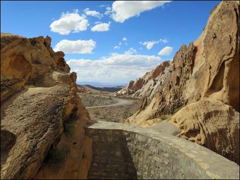
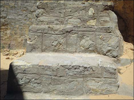
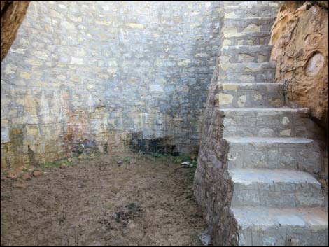
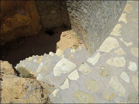
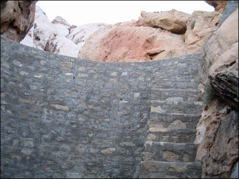
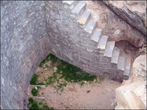
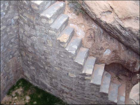
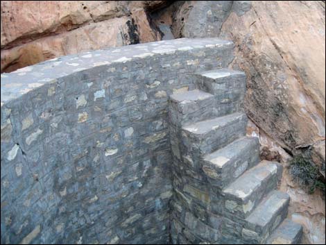
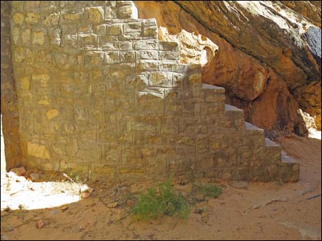
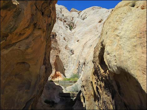
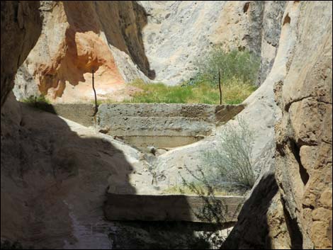
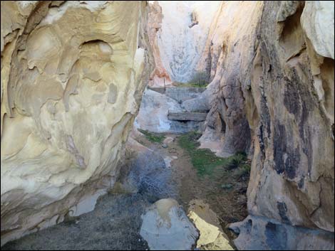
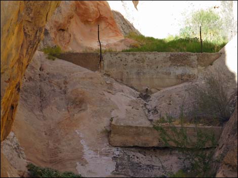
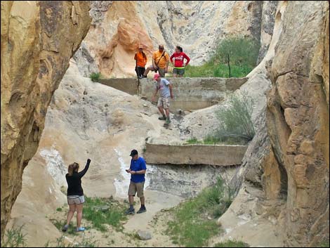
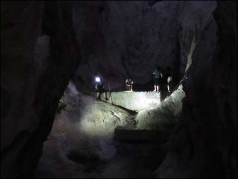
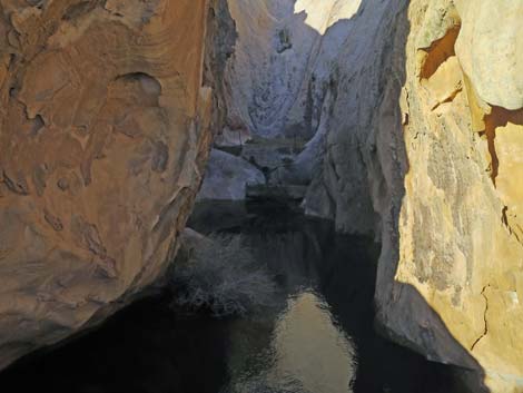
The Hike From the trailhead (Table 1, Waypoint 01), the route runs east about 40 feet to the watering trough (Wpt. 02), which is just outside a narrow canyon on the left. From the watering trough, the route turns north into the narrow canyon and runs about 130 feet to the dam (Wpt. 03). Steep, narrow stairs lead up the east edge of the dam to the top. Hikers can walk across the dam, but it is high, so be careful. From atop the dam, hikers can look upstream to a small dam farther up the canyon. Apparently, this small dam was built by Old Man Whitney himself. From atop the dam, consider making a loop by returning to the trailhead by walking west down the side canyon. There is a short pour-over to slide down on this route, so it is better for going down than up. |
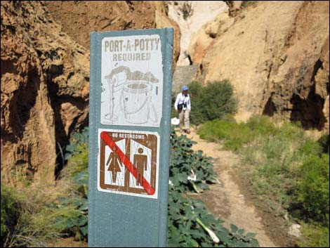 Sign: this area is not a toilet (view N) |
Given the dry desert landscape and lack of water behind the dam, visitors might wonder why it was built. If we look back, we find that during settlement times in the late 1800s, the west had been unusually wet, historically. That gave early ranchers plenty of bunchgrasses and other forage for cattle, but it also gave them a false impression about the local climate. By the early 1900s, the land was drying out. As a result, ranchers began building dams and other water control structures in the Gold Butte area (e.g., this dam and Black Butte Dam). As the land continues to dry, even dams like this one don't fill anymore, and with so little forage, ranchers are forced to move operations northward where water and forage remain more abundant. Please take care to protect historic sites like the CCC Dam. This dam has stood since the 1930s, and we hope that it stands for years to come. When finished here, consider making the short walk across the Whitney Pass Road to another historic structure: the CCC Store Room. |
 Approaching the dam (view N) |
 Nearing the dam (view N) |
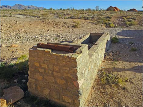
 Base of the dam (view N) |
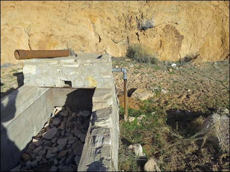
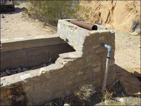
 Release valve at the base of the dam (view N) |
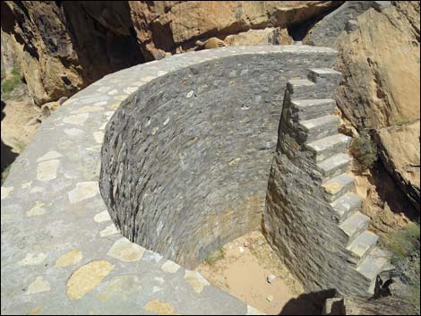
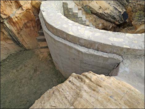
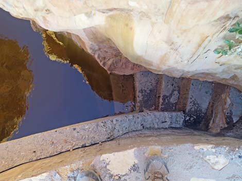
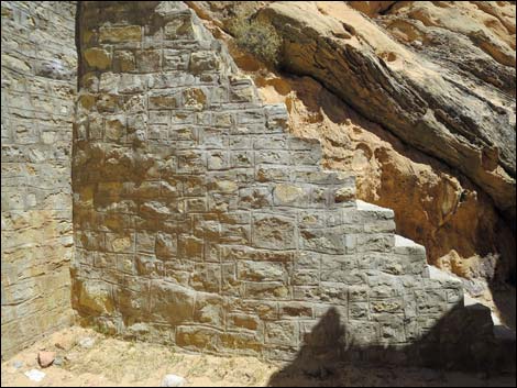 The stairs are as well constructed as is the dam (view E) |
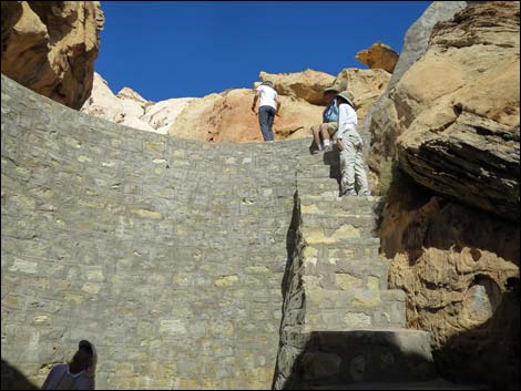 Hikers on the steep stairs (view N) |
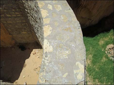
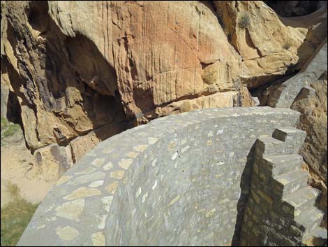
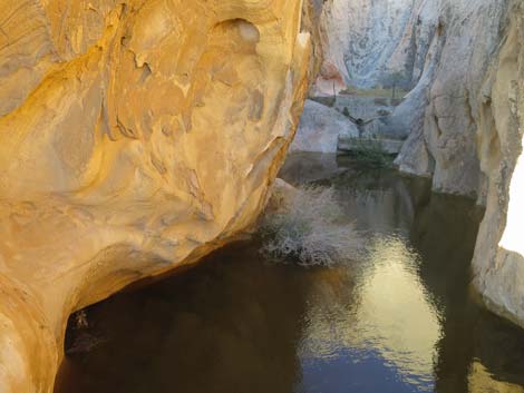
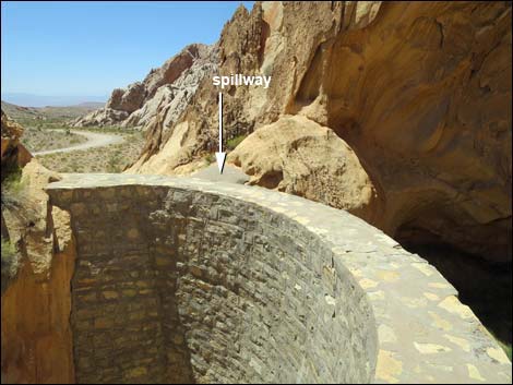 Top of the dam and spillway (view W) |
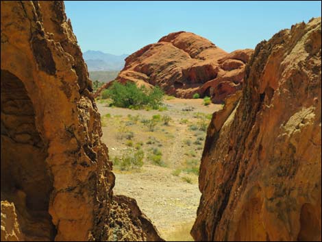
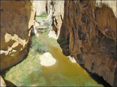
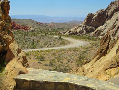 Grand scenery (view W from atop dam) |
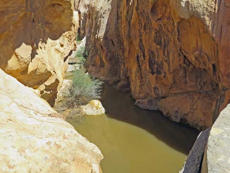
 The dam sometimes holds water after storms |
 Starting back down (view E) |
 Dam and stairs (view E from atop dam) |
 Steep stairs (view S from atop dam) |
 Hiker descending steep stairs (view E) |
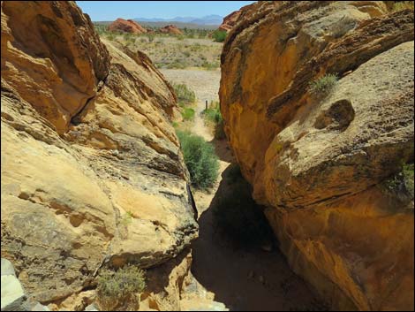
 Exiting the dam alcove (view S) |
 Watering trough (view S; CCC Store Room in background) |
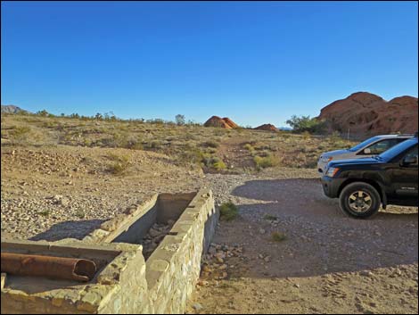
 Additional trailhead parking along Whitney Pass Road (view W) |
Watering Trough
 Watering trough near entrance to CCC dam (view NE) |
 Stone watering trough (view NE) |
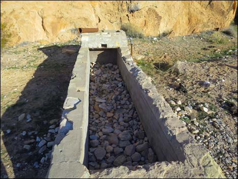 Stone watering trough when dry (view NE) |
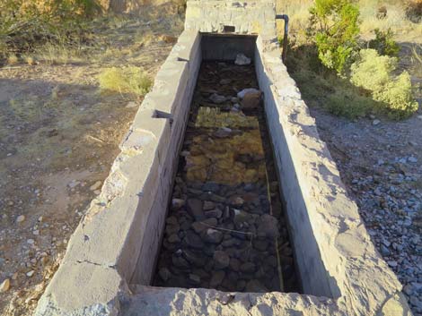 Stone watering trough when wet (view NE) |
 |
 |
 |
 |
 |
 |
 Trailhead parking adjacent to watering trough (view W) |
 Watering trough (view W) |
 |
 |
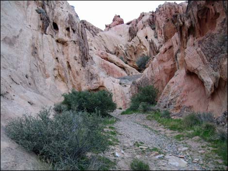
The Canyon
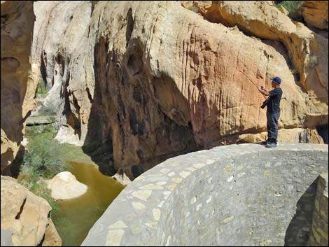
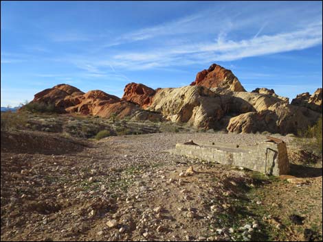
 CCC dam (view N from outside the canyon) |
 Interesting erosion patterns (view N) |
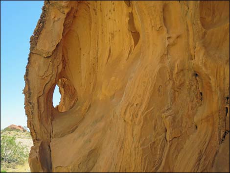 Interesting erosion patterns (view S) |
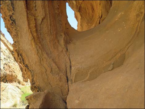 Interesting erosion patterns (view S) |
 |
 |
 The CCC Wall is visible from atop the dam (view S) The CCC Wall is visible from atop the dam (view S) |
 CCC dam (view NE from the spillway canyon) |
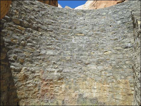
Stone Dam
 The dam (view N) |
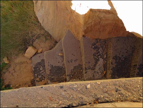
 Water seeping through the bottom of the dam |
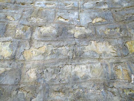
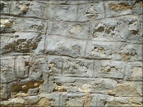
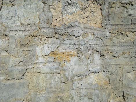 Details of construction (view N) |
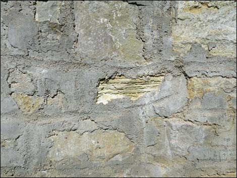 Details of construction (view N) |
 |
 |
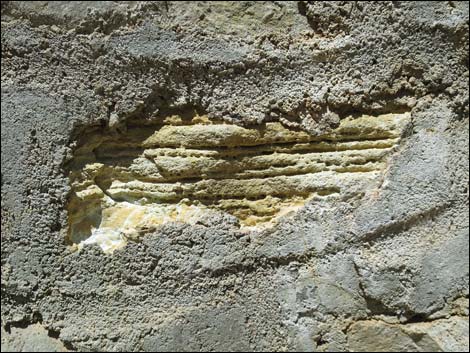 Details of construction (view N) |
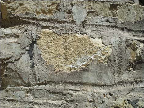 Details of construction (view N) |
 Spillway drains into side canyon (view W) |
 Top of dam and spillway (view W) |
 Top of the CCC dam (view W towards Whitney Pass Road) |
 Top of the dam (view E) |
 Looking down the back of the dam |
 Valve at the base of the dam (view N) |
 |
 |
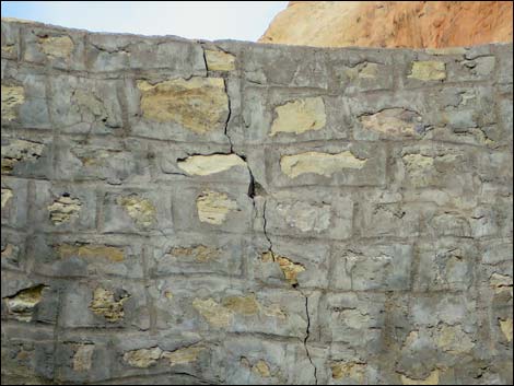 We need to keep an eye on this crack! |
More to come ... |
Stone Stairs
 The stairs are as well constructed as is the dam (view N) |
 Bottom of the stairs (view N) |
 |
 |
 |
 |
 |
 |
 |
 |
 |
 |
 Base of the dam (view N) |
More to come ... |
Above the Main Dam
 Stairs lead down to above main dam (view N) |
 The dam sometimes holds water after storms |
 The dam sometimes holds water after storms |
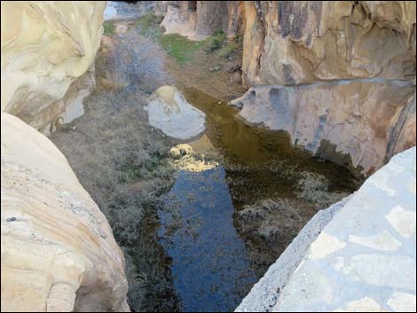 The dam sometimes holds water after storms |
 |
 |
 |
 |
 |
 |
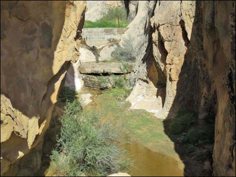
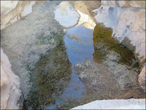
 Upper check dam as seen from atop the CCC dam (view N) |
 Upper check dam as seen from atop the CCC dam (view N) |
 |
 |
 Upper check dam built by Mr. Whitney (view N) |
 Original dam built by Mr. Whitney (view N) |
 Original dam (view N) |
 Above the main dam, the smaller original dam (view N) |
 |
 |
 |
 |
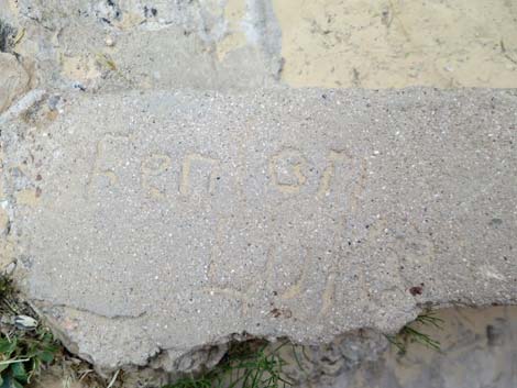 Names in the concrete: Fenton ... |
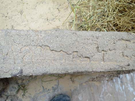 Names in the concrete: ... can't quite make it out |
 |
 |
 |
 |
 Lots of water - first two stairs are flooded |
 Lots of water - first two stairs are flooded |
 Lots of water - first two stairs are flooded |
 Lots of water - first two stairs are flooded |
| Wpt. | Location | UTM Easting | UTM Northing | Elevation (ft) | Point-to-Point Distance (mi) | Cumulative Distance (mi) | Verified |
|---|---|---|---|---|---|---|---|
| 01 | Trailhead | 756569 | 4045600 | 3,069 | 0.00 | 0.00 | Yes |
| 02 | Watering Trough | 756581 | 4045603 | 3,075 | 0.01 | 0.01 | Yes |
| 03 | CCC Dam | 756588 | 4045639 | 3,088 | 0.02 | 0.03 | Yes |
| 01 | Trailhead | 756569 | 4045600 | 3,069 | 0.03 | 0.07 | Yes |
Happy Hiking! All distances, elevations, and other facts are approximate.
![]() ; Last updated 240325
; Last updated 240325
| Hiking Around Gold Butte | Hiking Around Las Vegas | Glossary | Copyright, Conditions, Disclaimer | Home |