Hiking Around Las Vegas, Red Rock Canyon National Conservation Area
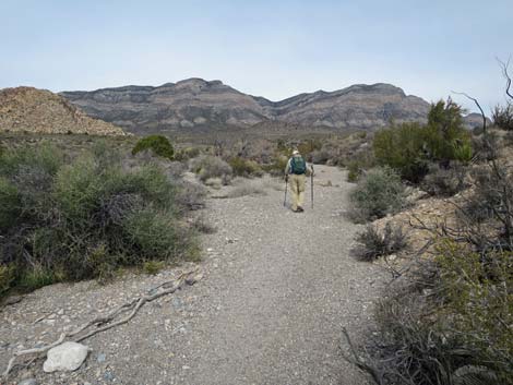
 Trail exiting Sandstone Quarry Trailhead (view N) |
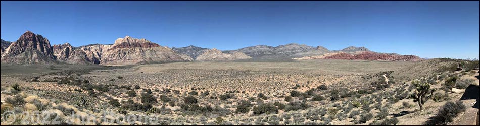
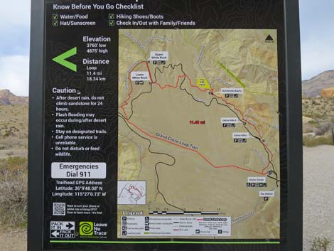
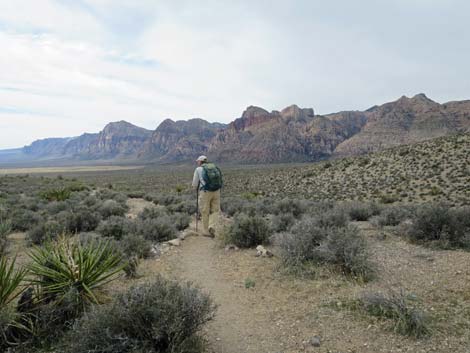
Overview The Grand Circle Trail is an 11.6-mile loop that starts at the Visitor Center and roughly parallels the Scenic Loop Road. From the Visitor Center, the trail runs up along the base of the Calico Hills to Sandstone Quarry, cuts out across the desert to White Rock Spring, the highpoint on the loop trail, then follows the White Rock Loop trail down towards Willow Springs, finally turning off and heading back down along Red Rock Wash to the Visitor Center. The trail passes red sandstone crags and rock art, all the while traversing open desert with grand vistas in all directions. Parts of the trail aren't laid out as well as one might wish, but the trail makes for a good winter workout in the desert. Presented here are details of the Grand Circle Loop Trail from the Sandstone Quarry Trailhead to Upper White Rock Trailhead. For an overview of the entire trail, see Grand Circle Overview. Link to map. Link to BLM Georeference PDF map file. |
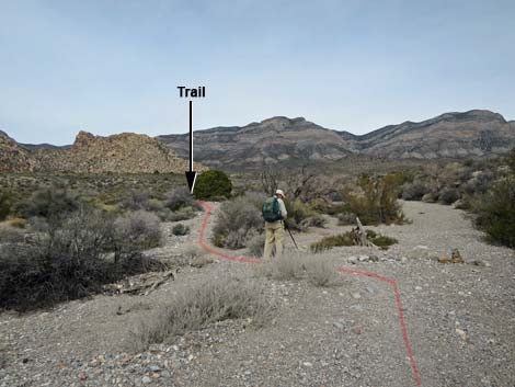
 Grand Circle Trail departs left from the Calico Tank Trail (view NW) |
Watch Out Other than the standard warnings about hiking in the desert, ...this hike is fairly safe, even for kids, but there are some short, steep scrambles through rocky areas near the Calico II parking area. Always be extra careful when you get high enough to fall and hurt yourself. Most of this trail is relatively well groomed, relatively free of rocks, and makes for easy walking. Be careful crossing the paved roads. While hiking, please respect the land and the other people out there, and try to Leave No Trace of your passage. Also, even though this is a short hike, be sure to bring what you need of the 10 Essentials. |
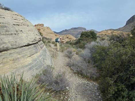
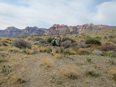
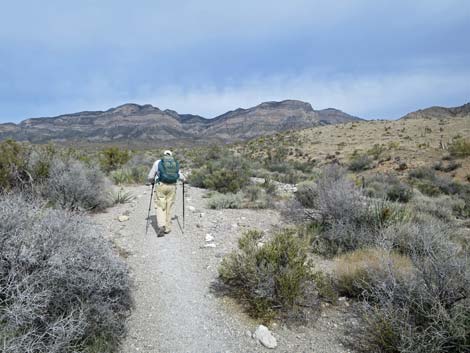
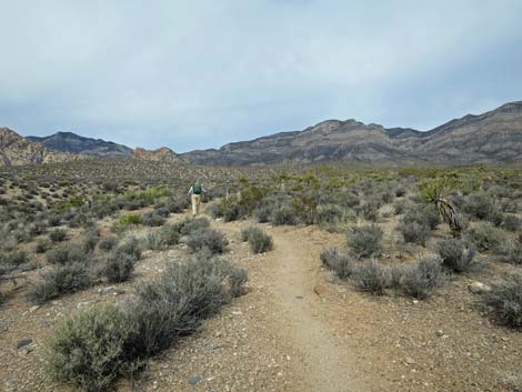
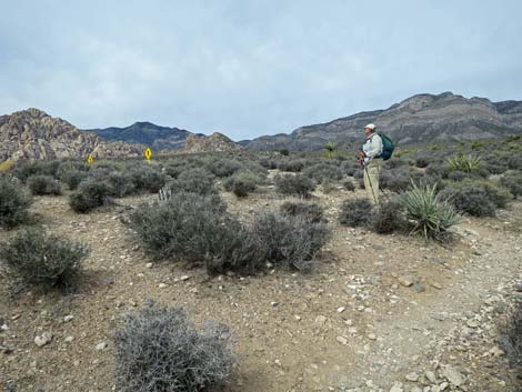
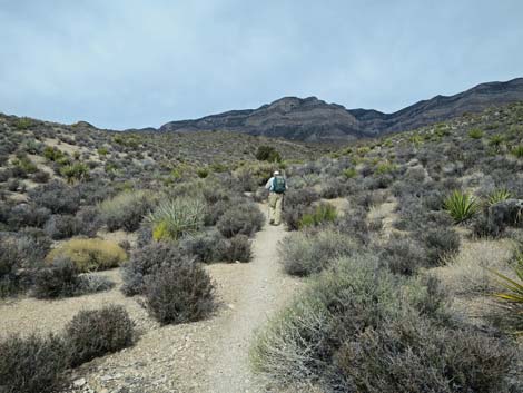
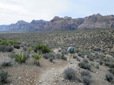
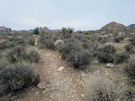
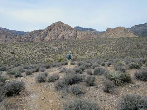
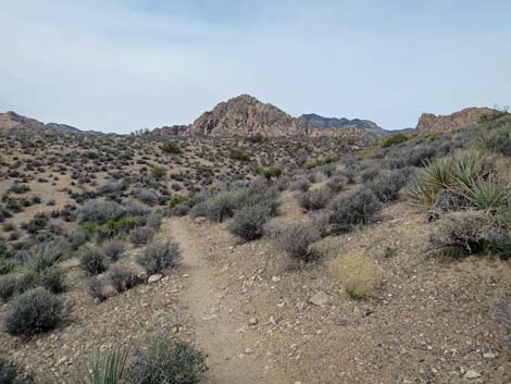
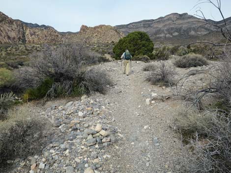
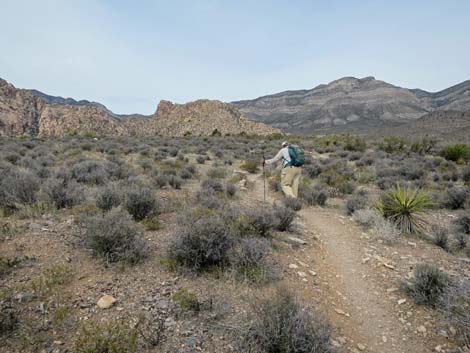
 Grand Circle Trail leaving Sandstone Quarry area (view NW) |
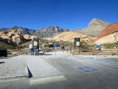
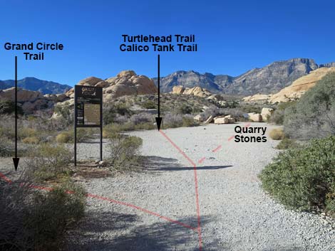
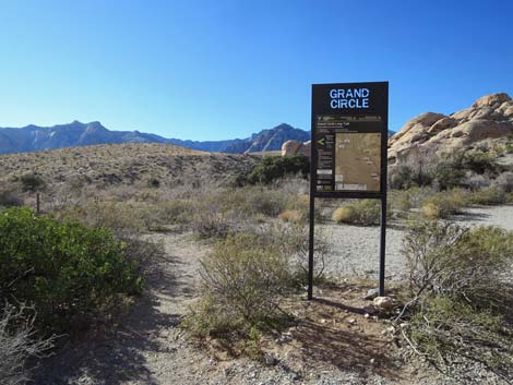
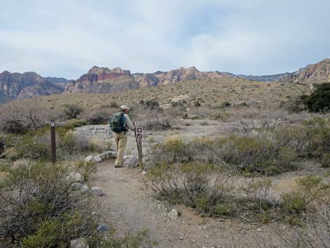
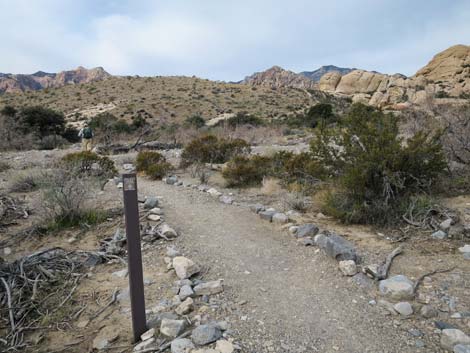
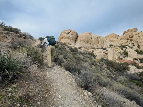
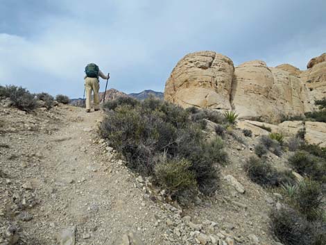
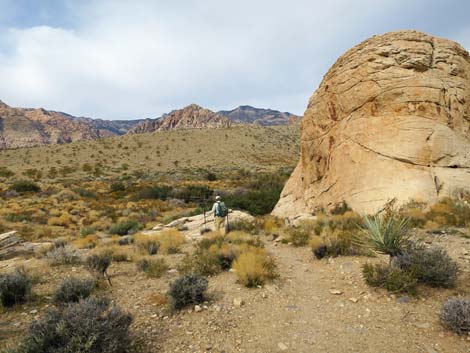
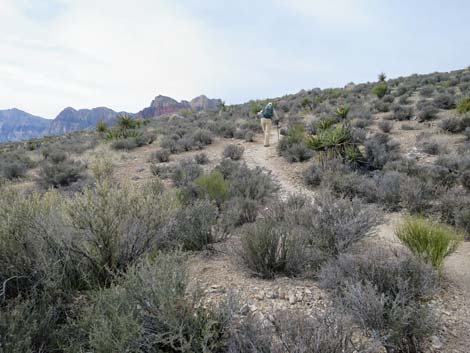
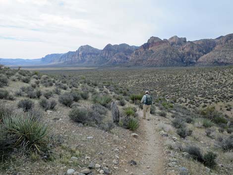
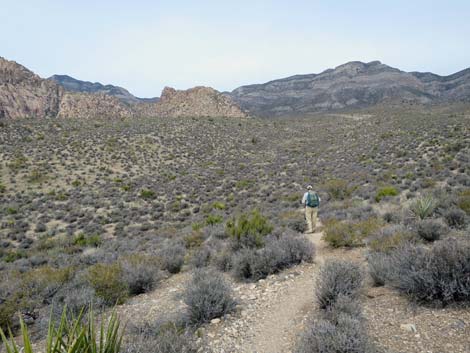
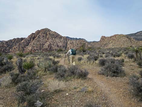
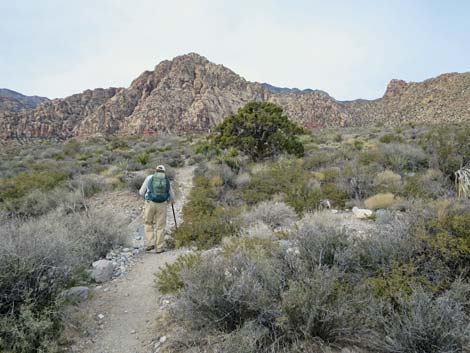
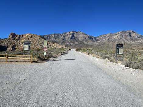
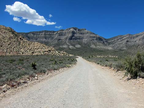
The Hike Sandstone Quarry to White Rock (2.3 miles) From the north end of the Sandstone Quarry parking area (Wpt. 10), the Grand Circle Trail runs north on the combined Turtlehead Peak -- Calico Tanks Trail. About 120 yards out, just as the trail enters the big, open gravel area with the Sandstone Quarry exhibit and big square quarried boulders, the Grand Circle Trail (Wpt. 11) forks off to the left and runs southwest through the shrubs and out across the wash. When departing the quarry area, look west to see the Grand Circle Trail climbing the bank on the far side of the wash. Across the wash, the trail climbs the bank at a moderate grade onto a low ridge just below sandstone crags. The trail continues west, crosses a flat, open area, crosses another low ridge, and drops into a gravel wash. The trail turns north following the wash, turns west again, and runs out north over rolling terrain to the Scenic Loop Road (Wpt. 12). |
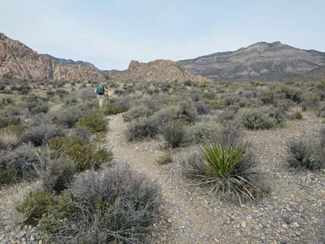
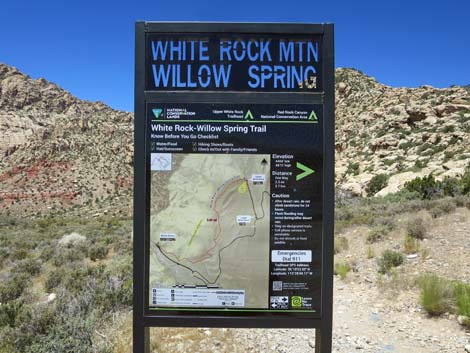
 Grand Circle Trailhead sign (view NW) |
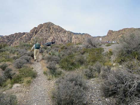
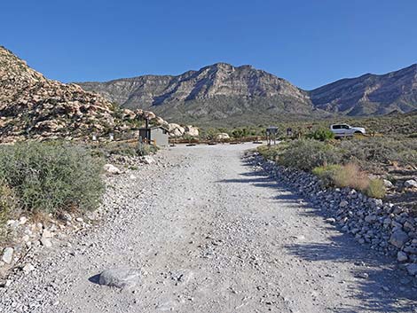
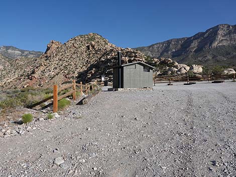
From the Scenic Loop Road (Wpt. 12), the trail continues southwest down the hillside to cross a wash and run up onto the next low ridge. The trail runs up and over the ridge, then down into the next wash. From there, the trail turns south and climbs onto the next ridge, but then begins a long, gradual descent across the next hillside into the bottom of the next wash to the west (Wpt. 13). The trail bends north and continues across the rolling terrain to another major wash (Wpt. 14). The trail drops into the wash, turns north, and runs up the wash following cairns for about 60 yards. The trail eventually turns out of the wash to the left by an isolated, rounded Utah Juniper tree (Wpt. 15) and continues northwest across the rolling hillsides. The trail crosses the Scenic Loop Road again and enters the Lower White Rock Road Trailhead (Wpt. 16). Following White Rock Road uphill, the trail passes Grand Circle and Keystone Thrust trailhead signs, then continues another 0.5 miles to the far end of the road and the Upper White Rock Trailhead parking area, which has a vault toilet. |
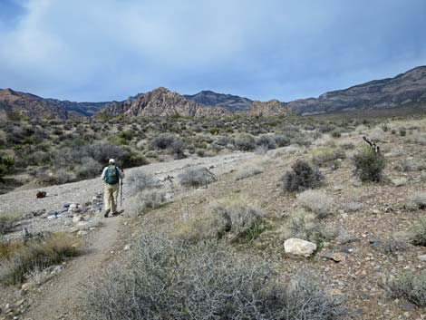
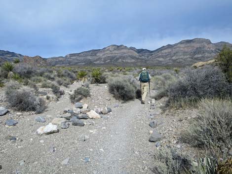
 Hiker entering wash (view SW from Grand Circle Trailhead sign) |
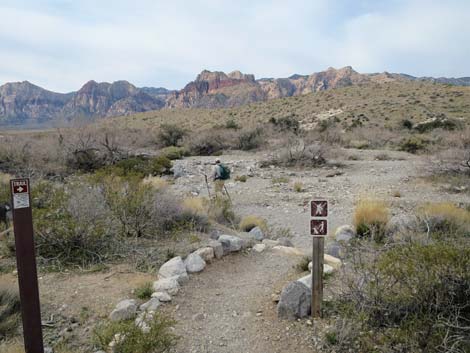 Signs at edge of wash (view SW) |
 Trail crosses the wash (view W) |
 Across the wash, trail turns right (view N) |
 Hiker climbing side of the ridge (view NW) |
 Hiker arriving at ridgetop (view NW) |
 Trail passes white sandstone crag (view W) |
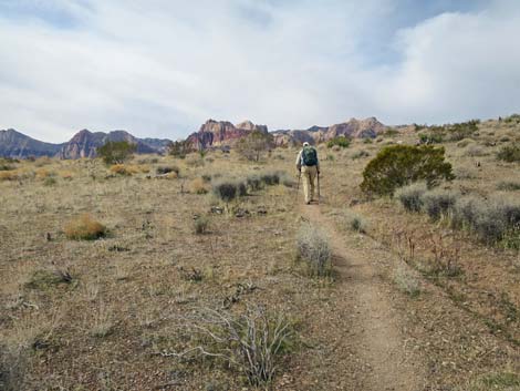
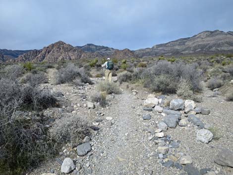
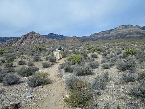
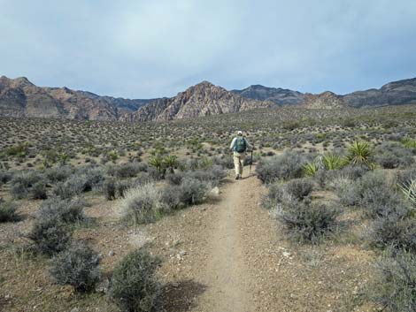
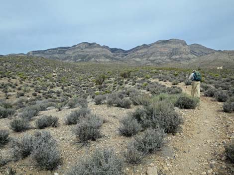
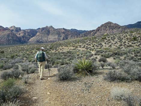
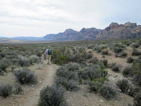
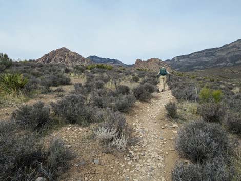
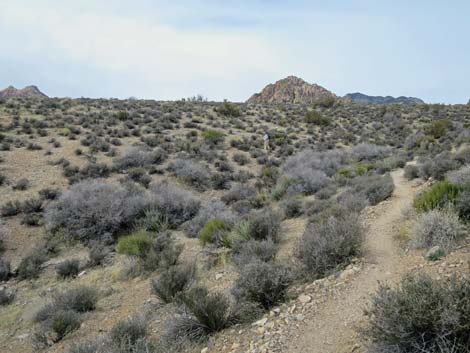
 Hiker traversing open flats area (view SW) |
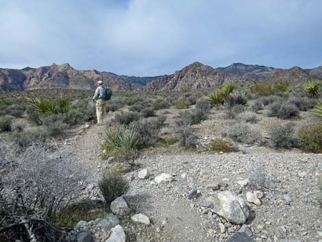
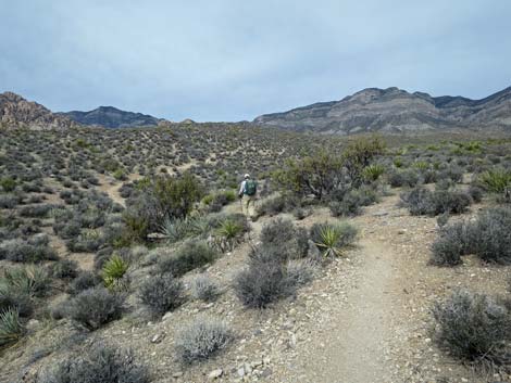
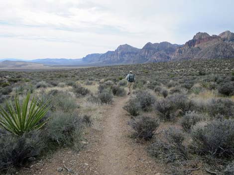
 Hiker continuing across open flats (view SW) |
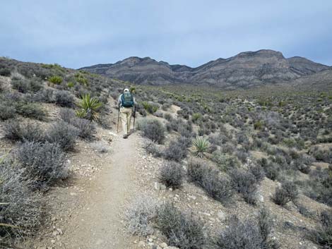
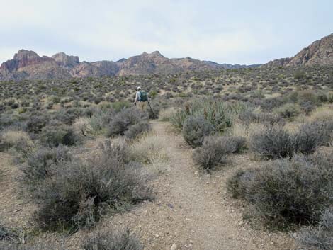
 Trail runs up the side of a low ridge (view NW) |
 Hiker entering a wash (view NW) |
 The trail runs up the wash (view NW) |
 Trail continues up the wash (view NW) |
 Hiker exiting the wash to the west (view W) |
 Hiker out of the wash (view W) |
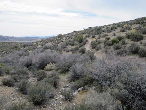
 Trail runs across rolling terrain (view W) |
 Trail runs across rolling terrain (view W) |
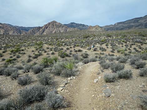 Trail runs across rolling terrain (view W) |
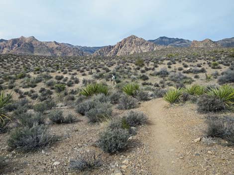 Trail runs across rolling terrain (view W) |
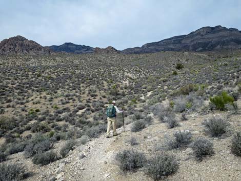
 Trail turns to climb along higher ground (view N) |
 Trail along higher ground (view N) |
 Trail dips to cross a wash (view N) |
 Hiker across the wash (view N) |
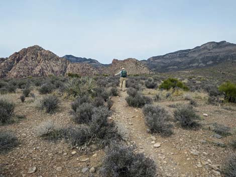
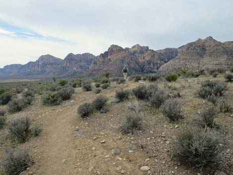
 Atop the next ridge, highway signs come into view (view NW) |
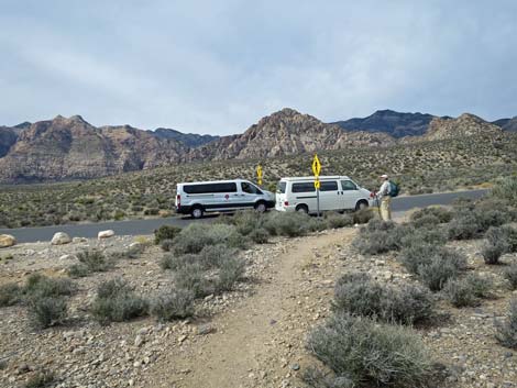 Hiker waiting for traffic to clear (view W) |
 Hiker crossing Scenic Loop Road (view W) |
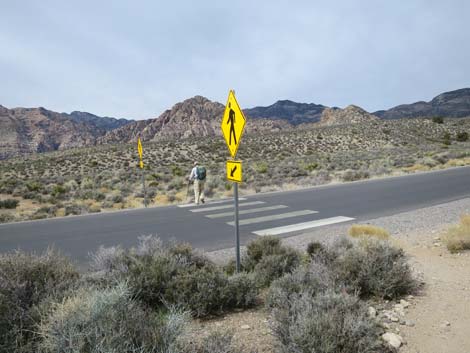 Hiker safely across the Scenic Loop Road (view W) |
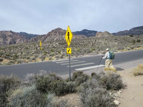
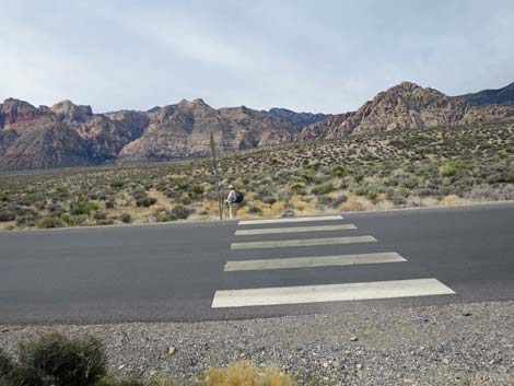 Crosswalk on the Scenic Loop Road (view W) |
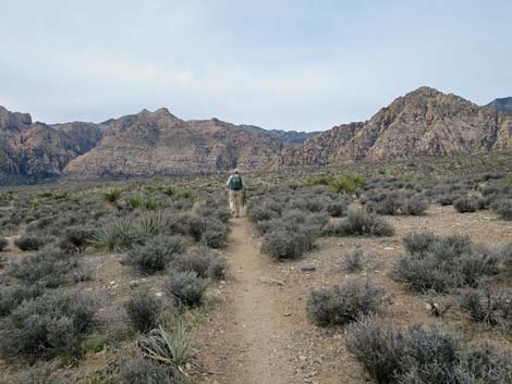
 The trail descends across gentle terrain (view SW) |
 Trail winds across hillsides on the contour (view W) |
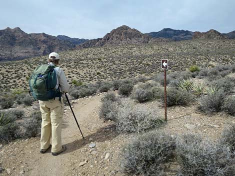 Apparently, this is a one-way trail (view W) |
 Crossing over a ridgeline and descending to cross a wash (view NW) |
 Running up along the wash (view N) |
 Trail abruptly crosses wash and climbs steep hillside (view SW) |
 Atop the ridge, the trail turns to run south (view S) |
 Descending off the ridgetop (view S) |
 Descending across the sideslope (view S) |
 Hiker approaching the next wash crossing (view S) |
 Hiker crossing gentle terrain (view S) |
 Hiker crossing gentle terrain (view S) |
 Climbing out of another wash (view W) |
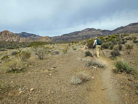
 Trail climbs at moderate grades (view NW) |
 Trail climbs at moderate grades (view NW) |
 Hiker arriving atop another low ridge (view W) |
 Continuing across the low ridge (view W) |
 Descending towards the next wash (view NW) |
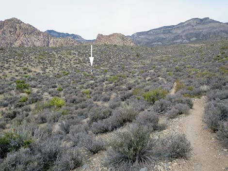 Hiker (arrow) crossing the valley bottom (view N) |
 Hiker on the next low ridge (view W) |
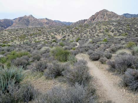
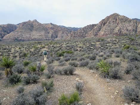
 Trail runs up and down across rolling terrain (view NW) |
 Trail runs up and down across rolling terrain (view NW) |
 Trail runs up and down across rolling terrain (view SW) |
 Hiker arriving on the next low ridgetop (view SW) |
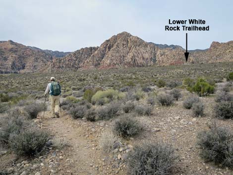
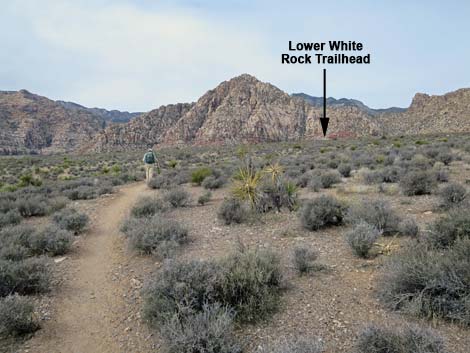 Lower White Rock Trailhead comes into view for the first time |
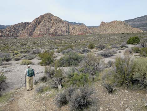
 Trail runs up and down across rolling terrain (view W) |
 Trail runs up and down across rolling terrain (view W) |
 Trail enters a broad wash (view W) |
 Trail turns up the wash (view N) |
 Trail continues up the wash (view N) |
 Trail exits the wash by a lone Utah Juniper tree (view NW) |
 Trail climbs at moderate grades (view NW) |
 Trail climbs at moderate grades (view NW) |
 Trail climbs at moderate grades (view NW) |
 Trail climbs at moderate grades (view NW) |
 Hiker approaching the Scenic Loop Road (view NW) |
 Hiker at the Scenic Loop Road (view NW) |
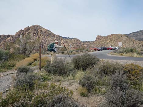
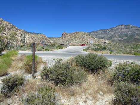 Grand Circle Trail at the Scenic Loop Road (view NW) |
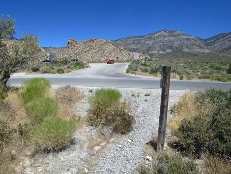 Trail crosses Scenic Loop Road onto White Rock Road (view N) |
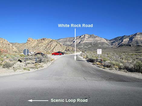 Grand Circle Trail crosses Scenic Loop Road (view N) |
 Trail follows road past Lower White Rock Trailhead signs (view N) |
 Grand Circle Trail follows White Rock Road (view N) |
 Grand Circle Trail approaching Upper White Rock Trailhead (view N) |
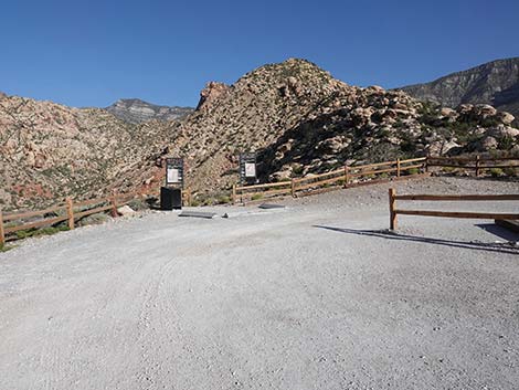
 Grand Circle Trail at Upper White Rock Trailhead sign (view N) |
 Grand Circle Trail approaching Upper White Rock Trailhead (view N) |
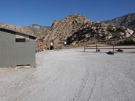 Grand Circle Trail bends left past vault toilet (view NW) |
 |
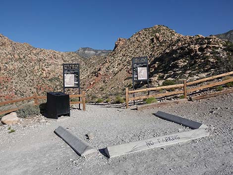 |
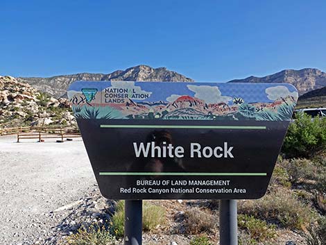
 Upper White Rock Trailhead, West Trailhead sign (view NW) |
 More to come ... |
Table 1. Hiking Coordinates based on GPS Data (NAD27; UTM Zone 11S). Download Hiking GPS Waypoints (*.gpx) file.
| Wpt. | Location | UTM Easting | UTM Northing | Elevation (ft) | Point-to-Point Distance (mi) | Cumulative Distance (mi) |
|---|---|---|---|---|---|---|
| 10 | Sandstone Quarry North Trailhead | 639467 | 4002878 | 4,305 | 0.08 | 03.13 |
| 11 | Trail Junction, Turtlehead | 639481 | 4002984 | 4,305 | 0.08 | 03.21 |
| 12 | Road Crossing #2 | 638452 | 4003558 | 4,606 | 0.99 | 04.20 |
| 13 | Wash Crossing | 638154 | 4003146 | 4,481 | 0.41 | 04.61 |
| 14 | Enter Wash | 637584 | 4003024 | 4,544 | 0.50 | 05.11 |
| 15 | Exit Wash | 637557 | 4003071 | 4,550 | 0.04 | 05.15 |
| 16 | Road Crossing #3 | 637240 | 4003240 | 4,643 | 0.25 | 05.40 |
| 17 | White Rock Upper Trailhead | 636979 | 4004051 | 4,876 | 0.56 | 05.96 |
Happy Hiking! All distances, elevations, and other facts are approximate.
![]() ; Last updated 240330
; Last updated 240330
| Hiking Around Red Rocks | Hiking Around Las Vegas | Glossary | Copyright, Conditions, Disclaimer | Home |