Hiking Around Las Vegas, Lake Mead National Recreation Area
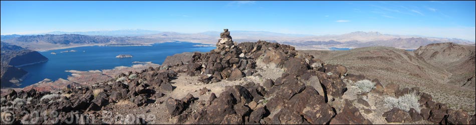
 Hiker at summit cairn with grand views (view NW) |
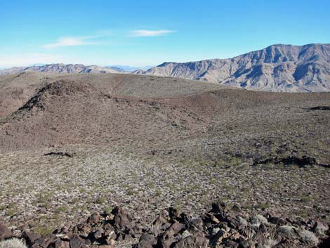
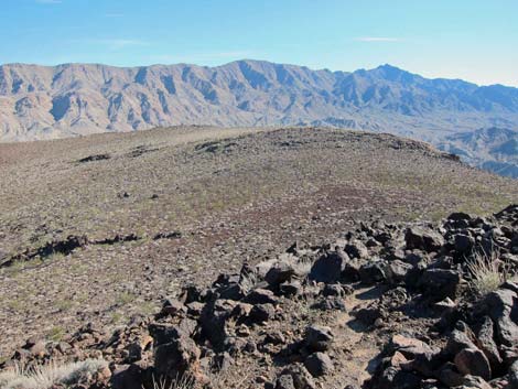
Overview This is a moderately difficult, 4-mile round-trip hike that follows a use-trail to the summit. The route starts in a wash southeast of Fortification Hill and follows washes and ridges to a basalt headwall, which is passed with a few feet of 3rd-class climbing and a steep, rocky gully. From the top of the gully, the relatively flat trail runs west along the southern edge of the mesa for about 0.6 miles to the summit. The route climbs about 1,400 feet, but most of the elevation gain is in the middle-third of the hike. The views from the top of the mesa are spectacular and include much of Lake Mead, Hoover Dam, and all of the surrounding mountains. Presented here are photos of summit views. For a complete description of the route, including maps and GPS coordinates, see Fortification Hill. |
 Hiker at summit cairn with grand views (view NW) |
 Summit register at base of cairn |
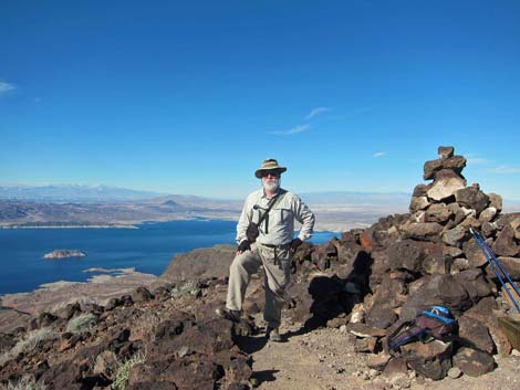
 Hikers on the summit with grand views north |
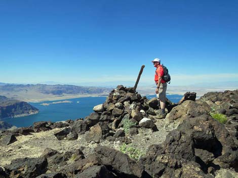
 Hiker at summit cairn and grand views south |
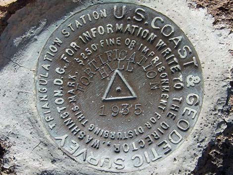 Benchmark on summit (set in 1935) |
 Benchmark pointer No. 1 on summit (set in 1935) |
 Summit view (W towards Hoover Dam and Boulder City) |
 Summit view (NW towards Las Vegas and Mt. Charleston) |
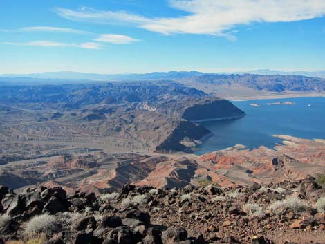
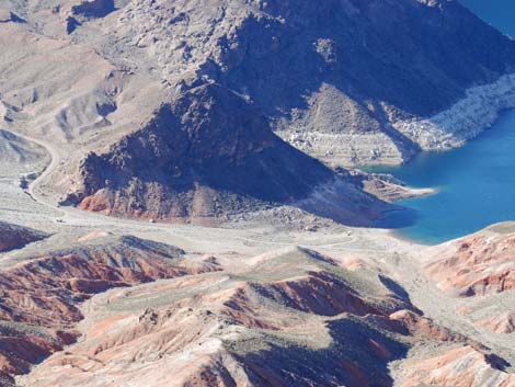
 Summit view (W to Hemenway Harbor and Boulder Beach) |
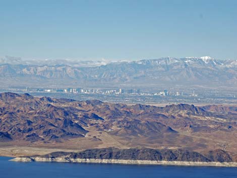 Summit view (W to Las Vegas and Mt. Charleston) |
 Summit view (N towards Muddy Mountains |
 Summit view (N to Callville Bay Marina) |
 Summit view (NE to Mormon Mountains) |
 Summit view (NE towards mountains in Utah) |
 Summit view (SE towards Mt. Wilson) |
 Summit view (SE to Mt. Wilson) |
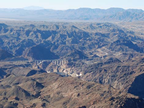 Summit view (SW to Dam and Boulder City) |
 Summit view (SW to Bridge and Dam) |
 Summit view (SW to Paint Pockets (end of Kingman Wash Rd) |
 Summit view (W to Mt. Potosi) |
Happy Hiking! All distances, elevations, and other facts are approximate.
![]() ; Last updated 240326
; Last updated 240326
| Hiking Around Lake Mead | Hiking Around Las Vegas | Glossary | Copyright, Conditions, Disclaimer | Home |