Hiking Around Las Vegas, Gold Butte National Monument
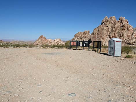
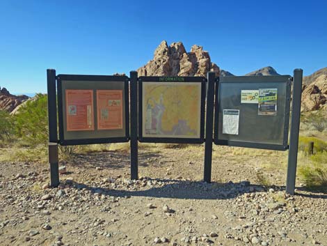
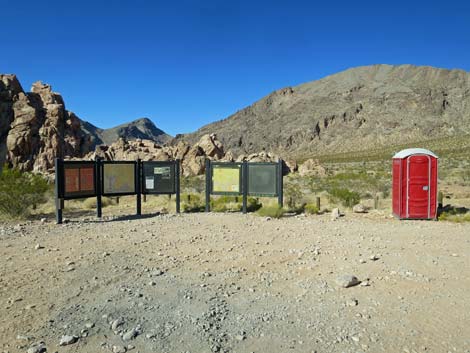 Information signs and toilet at day-use parking (view N) |
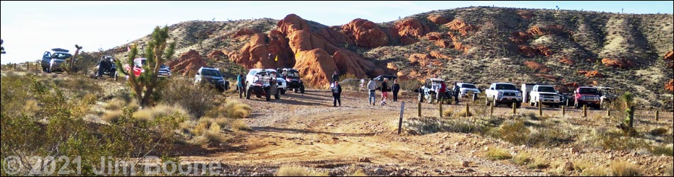
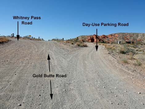
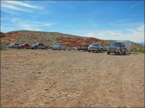
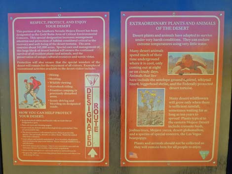
Overview Whitney Pocket is a popular undeveloped camping and picnic area way out in the desert nestled up against sculpted red-and-white sandstone crags at the foot of limestone-gray Virgin Peak. The Day-Use Parking Area is a popular staging area where people can park trucks and trailers to unload ATVs or horses. Some people park RVs and trailers here to camp, but the area should be left open to give other people plenty of room to maneuver their rigs while unloading. Toilets are placed here during the visitor season (not summer), and signs provide information about the area. Whitney Pocket Day-Use Parking is located in Gold Butte National Monument about 2 hours northeast of Las Vegas. From town, drive north on Interstate-15 towards Mesquite. Take Exit 112 (Highway 170) towards Riverside and Bunkerville. Drive south and cross the Virgin River, then quickly turn right onto the paved Gold Butte Road. Follow the pavement (there are no paved side roads) for 21 miles until the pavement ends at Whitney Pocket. From the end of the pavement, continue south about 150 yards to a spur road to the right. Turn right and pull into the day-use parking area (Table 1, Site 1657). Link to map. |
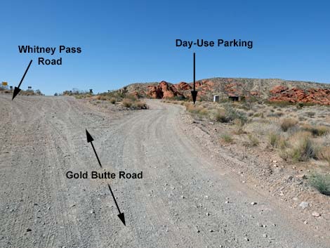 Gold Butte Road approaching Day-Use Parking Road (view S) |
 Gold Butte Road at Day-Use Parking Road (view S) |
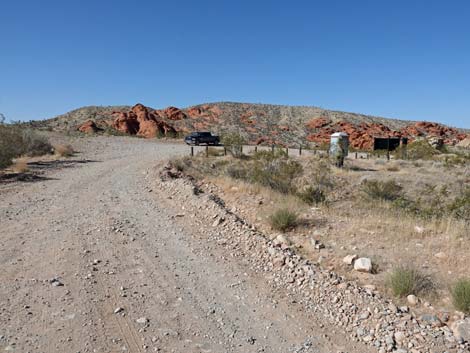 Day-Use Parking Road (view S) |
 Crowded day-use parking area (view SW) |
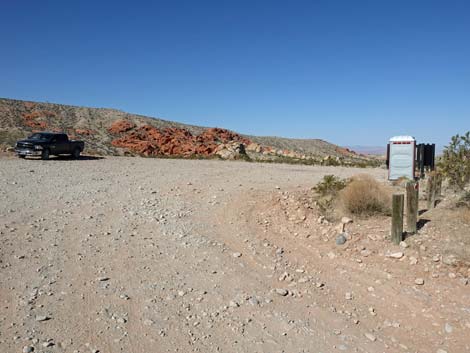 Arriving at that Day-Use Parking area (view S) |
 Day-use parking area (mostly for unloading ATVs) |
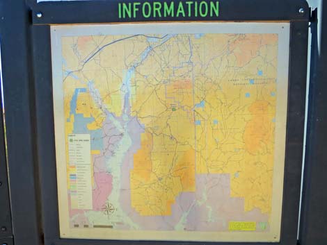
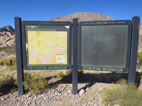
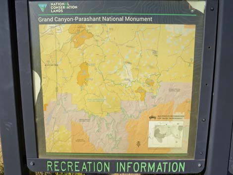
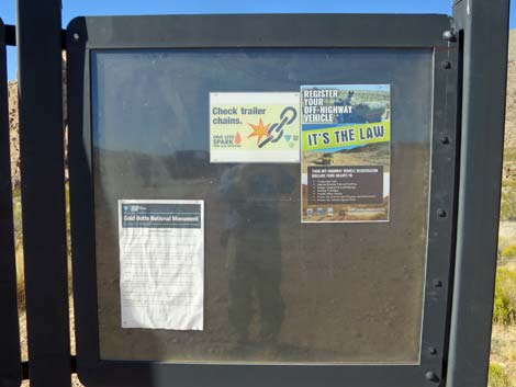
 Information signs and toilet (view W) |
 Information signs (view NW) |
 |
 |
 |
 |
 |
 |
Table 1. Highway Coordinates Based on GPS Data (NAD27; UTM Zone 11S). Download Highway GPS Waypoints (*.gpx) file.
| Site | Location | UTM Easting | UTM Northing | Latitude (N) | Longitude (W) | Elevation (ft) |
|---|---|---|---|---|---|---|
| 1657 | Gold Butte Road at Day-Use Parking | 756138 | 4045631 | 36.52360 | 114.13944 | 2,961 |
| 1939 | Whitney Pocket Day-Use Parking | 756112 | 4045545 | 36.52283 | 114.13976 | 3,012 |
Happy Hiking! All distances, elevations, and other facts are approximate.
![]() ; Last updated 240325
; Last updated 240325
| Hiking Around Gold Butte | Hiking Around Las Vegas | Glossary | Copyright, Conditions, Disclaimer | Home |