Hiking Around Las Vegas, Gold Butte National Monument
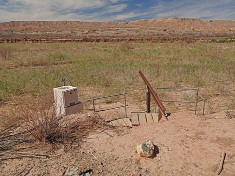
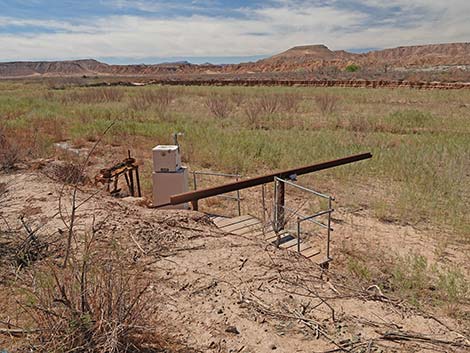
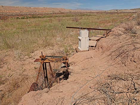 Water pump and gauging station (view N) |
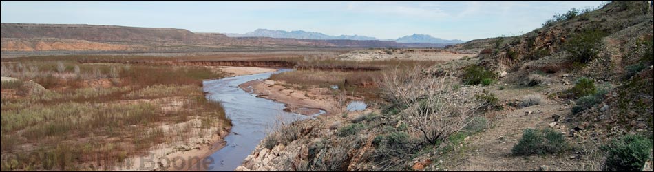
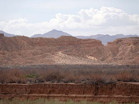
Overview The Gentry Ranch area is an interesting place to hike along the banks of the Virgin River, parts of which were underwater when Lake Mead was higher. There is some history here, but it isn't the most exciting place to hike. However, in southern Nevada, we seldom get to hike along a flowing river on our home turf, so that makes this hike a treat. The early spring wildflowers can be great at this low elevation. Historically, the Gentry family ran thousands of head of cattle in the Gold Butte area, and this area is marked on some old maps as "Gentry Ranch." However, there do not seem to be any old buildings or remains of other structures that one might expect to find at a spot marked "ranch" on an old map. |
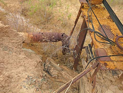
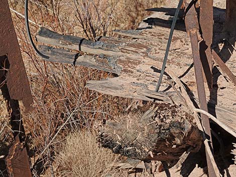 Well pipe and pump attached to burned boards and pilings |
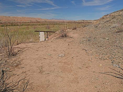
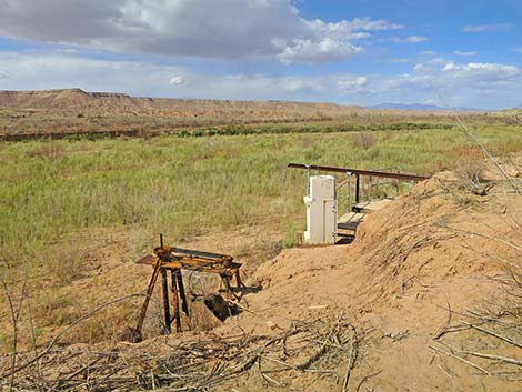
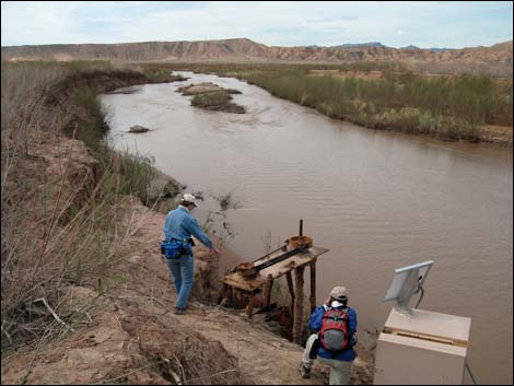
Continuing north, the old road runs closer to the river and the edge of the mud cliff. At about 1.0 miles out, the old road ends at an old USGS water gauging station (Wpt. 05). A gauging station is an installation used to measure the height of the water, presumably in the old river channel, which can be used to determine stream flow. All of the equipment is gone, but the instrument boxes and walkways remain. The station was placed at the site of a water pumping station. The well pipe and mechanical equipment to pump the water remains, and by looking at the rubber belts, it seems that this is where are the diesel engine was used before the area flooded. it is interesting to note the heavy wooden boards and pilings at the base of the pump mechanism, which have been burned. The Arrowhead Trail Highway crossed the Virgin River on a wooden bridge somewhere near this point, but the bridge burned in 1925 and was not rebuilt. It is possible that these burned boards are all that remain of the old bridge. In 2015, possible bridge abutment structures were visible across the river, but they were not seen in 2022. |
 Approaching the water pump and gauging station (view N) |
 Arriving at the water pump and gauging station (view N) |
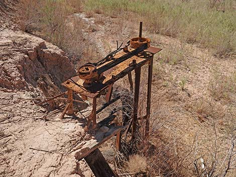
 Well and gauging station (view NW) |
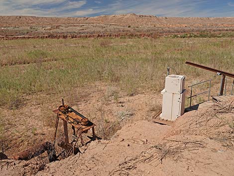 Well and gauging station (view NW) |
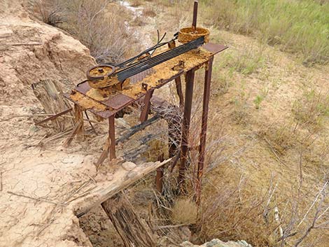
 Well pipe and pump (driven by the diesel engine?) |
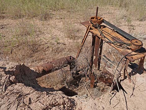
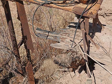 Well pipe and pump attached to burned boards |
Well pipe and pump attached to burned boards and pilings |
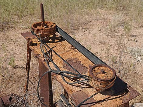 These seem to be the same belts as seen at the diesel engine |
 Well pipe and pump (view SW) |
 |
 |
 Well pipe and pump (driven by the diesel engine?) |
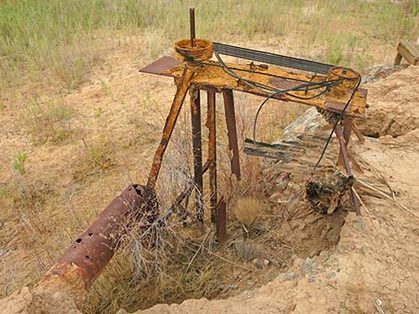
Well and gauging station (view N) |
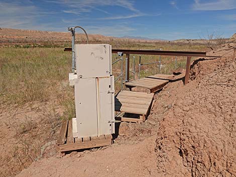 Gauging station and wooden platform (view NW) |
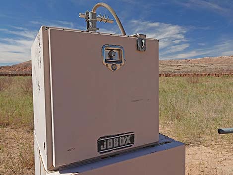 Jobox gauging station equipment storage box |
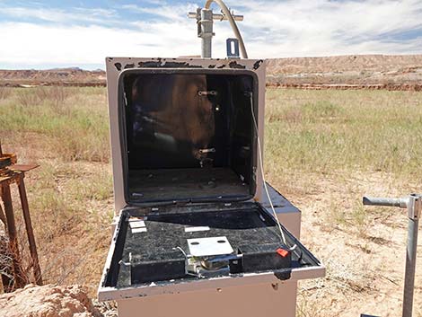 The Jobox gauging station equipment storage box is empty in 2022 |
 More to come ... |
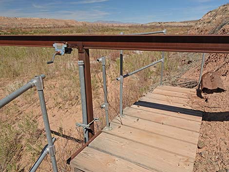 Curious metal beam and hoist |
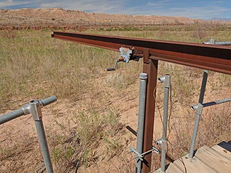 Curious metal beam and hoist |
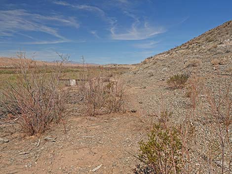
 Above the gauging station, four legs for equipment? (view E) |
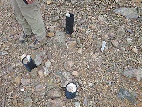 Four legs for equipment? (view E) |
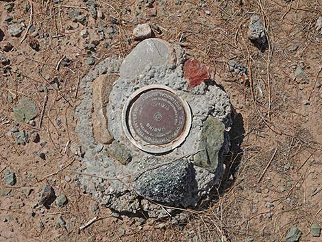 Benchmark: Gauging Station |
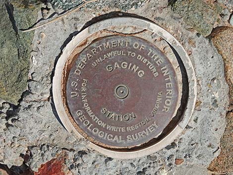 BM Gauging Station (note: USGS traditional spelling is Gaging) |
 Gauging Station (view from above, view W) |
 Gauging Station (view from above, view SW) |
 Gauging station along Virgin River in 2015 (view SW) |
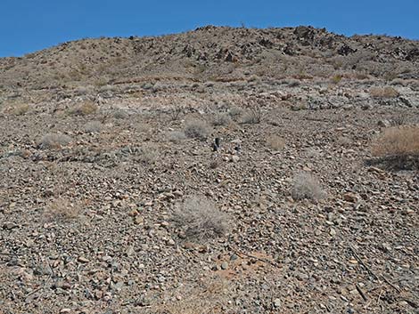
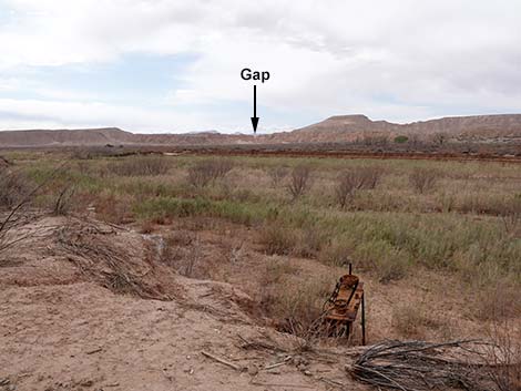 While here, note the Arrowhead Highway coming over the ridge |
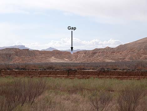 Arrowhead Highway coming over the ridge from St. Thomas (view W) |
 Arrowhead Highway coming over the ridge from St. Thomas (view W) |
Happy Hiking! All distances, elevations, and other facts are approximate.
![]() ; Last updated 240325
; Last updated 240325
| Hiking Around Gold Butte | Hiking Around Las Vegas | Glossary | Copyright, Conditions, Disclaimer | Home |