 |
| Home | Wilderness | Hiking | Desert NWR | Dry Lake Corral |
Desert Dry Lake Corral Map-Overview
Hiking Around Las Vegas,
Desert National Wildlife Refuge
Overview Map | Site Map |
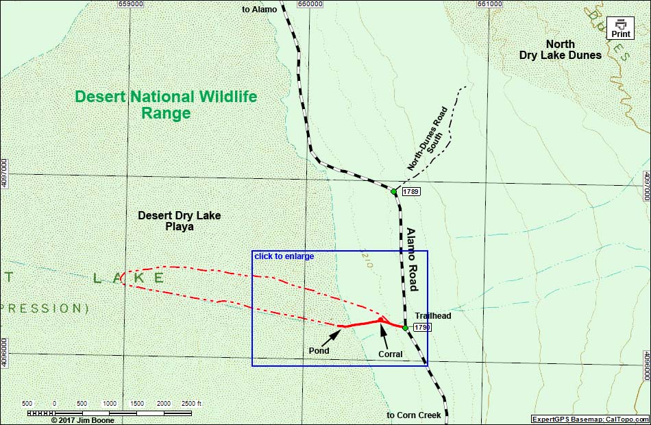 |
| Note: Map based on USGS 7.5-minute topo map, which may have red grid lines and various numbers. North is at the top. Grid is UTM NAD27 CONUS. Roads are black (solid = paved; dashed = unpaved; width implies quality). Trails and routes are red (solid = main; dashed = adjacent or alternate). Wildlife Refuges (boundaries dashed brown, fill light green) based on USFWS data. Download waypoint coordinates from route description page. Click inside blue rectangles to enlarge those sections of the map. |
Happy Hiking! All distances, elevations, and other facts are approximate.
 ; Last updated 170507 ; Last updated 170507 |
|