Hiking Around Las Vegas, Death Valley National Park
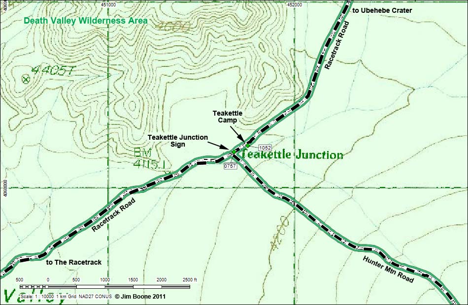
Note: Roads are black (solid = paved; dashed = unpaved). Trails and routes are red (solid = main; dashed = adjacent or alternate). Map based on USGS 7.5-minute topo map. North is at the top. UTM Grid is NAD27 CONUS. Wilderness Area boundaries (green).
Happy Hiking! All distances, elevations, and other facts are approximate.![]() ; Last updated 120214
; Last updated 120214
| Teakettle Camp | Hiking Around Death Valley | Glossary | Copyright, Conditions, Disclaimer | Home |