Backroads Around Las Vegas
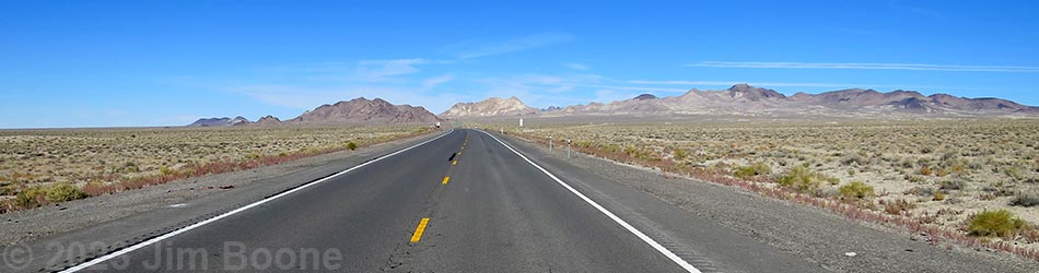
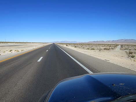
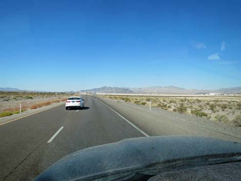
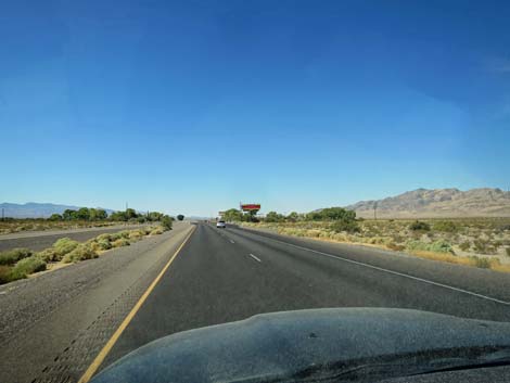
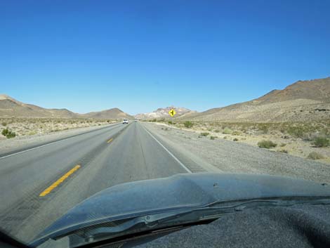
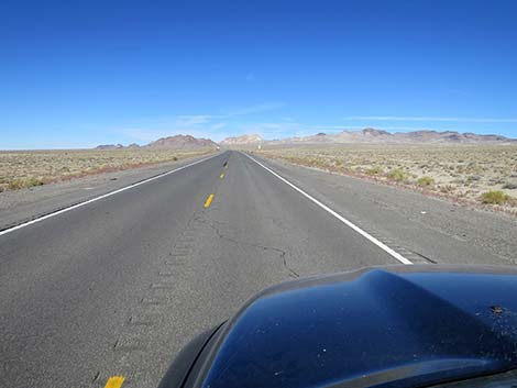
 Highway 95 approaching Interstate 15 (view W) |
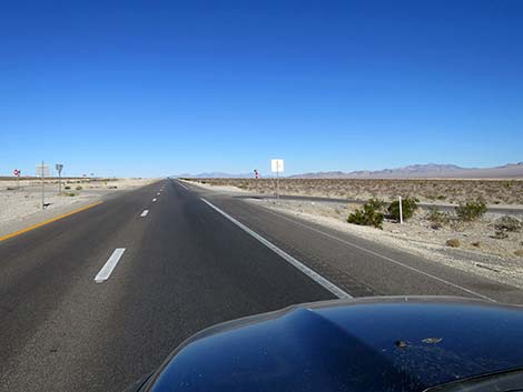
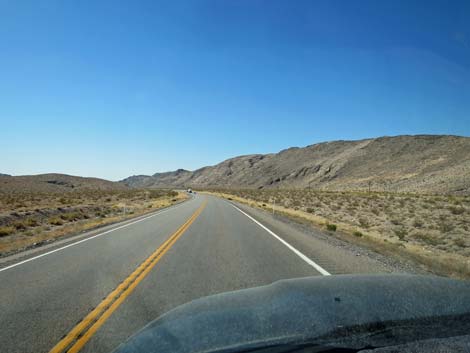
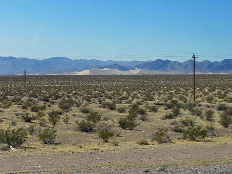
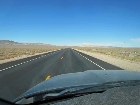
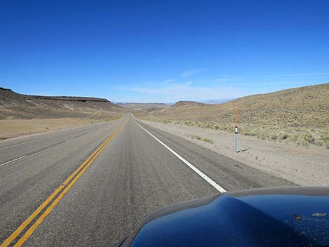
Overview Highway 95 Northbound is a major highway that runs from the Mexican border in Arizona to the Canadian border in Idaho. In Nevada, Highway 95 starts near the southern tip of the state, runs north to Las Vegas, continues north through the western portion of the state, and exits the state into Oregon near the middle of the state. Described here is the portion of Highway 95 that runs north from downtown Las Vegas (intersection of I-15 and Hwy 95; the Las Vegas Spaghetti Bowl) to Tonopah. The highway is nothing special, just another state highway, but it traverses spectacular, big open desert with grand views, and it provides access to some wild and amazing outdoor recreation. Link to map. |
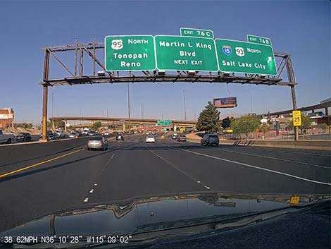
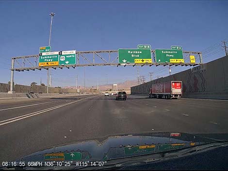
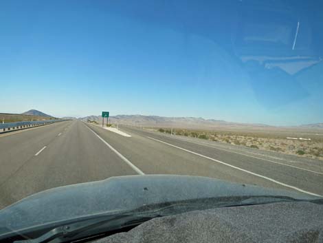
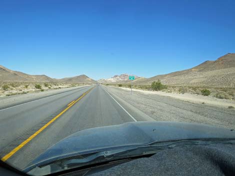
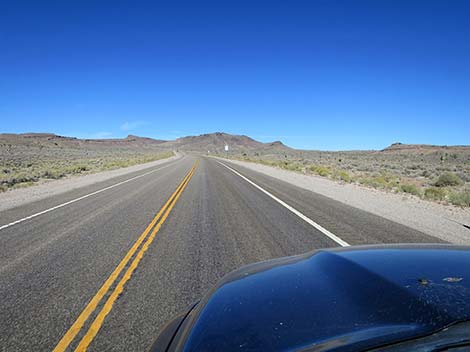
 Highway 95 at Interstate 15 interchange (view W) |
Watch Out Other than the standard warnings about driving in the desert, ... this is a safe road, except of course, for the whack-nuts doing stupid things at 90 mph. Most of the highway is two lanes, one in each direction, without a center divider. Slow commercial trucks and fast passenger vehicles make for a dangerous mix, as impatient drivers pass in inappropriate situations, and it seems that some drivers assume oncoming traffic will pull onto the shoulder to let them pass without causing a head-on collision. While this might be the standard on West Texas highways, Highway 95 is too narrow for this tactic. It is a good idea to always drive with the headlights turned on to help oncoming drivers see you. While out, please respect the land and the other people out there, and try to Leave No Trace of your passage. Also, there are remote areas, so be sure to bring the 10 Essentials because emergency services are few and far between on this largely rural highway. |
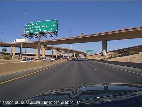
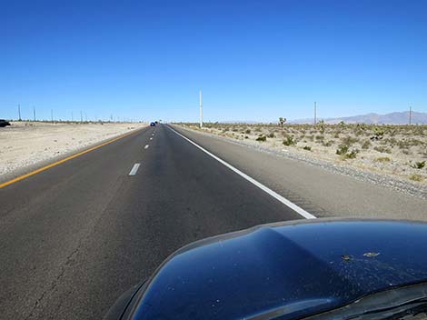
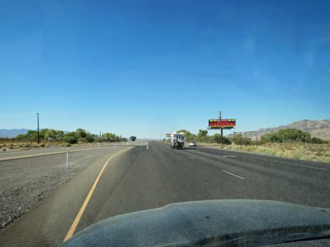
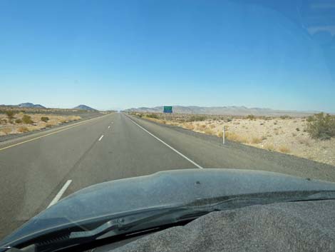
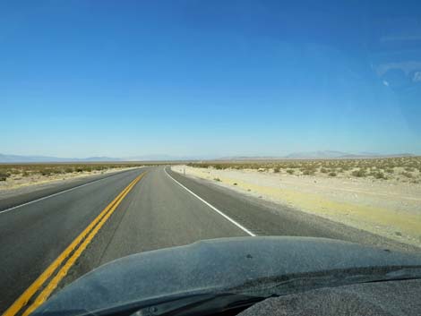
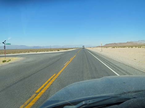
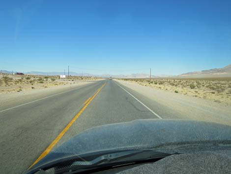
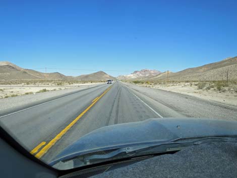
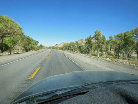
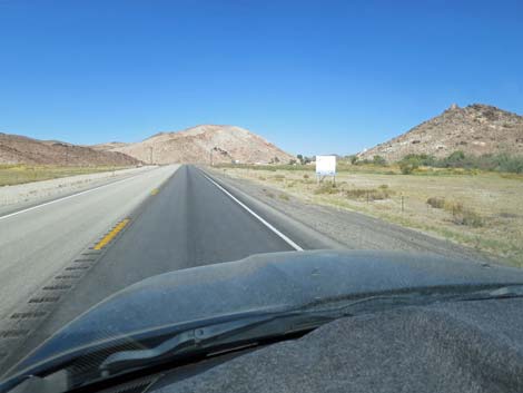
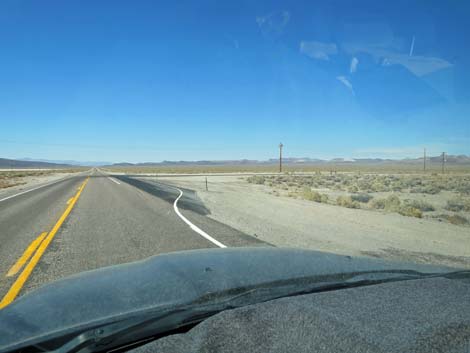
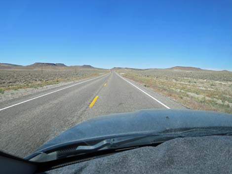
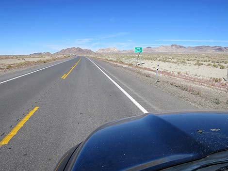
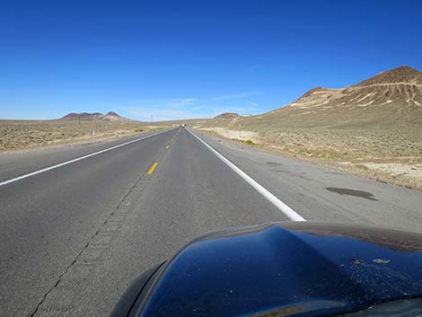
 Highway 95 approaching Valley View Blvd exit (view W) |
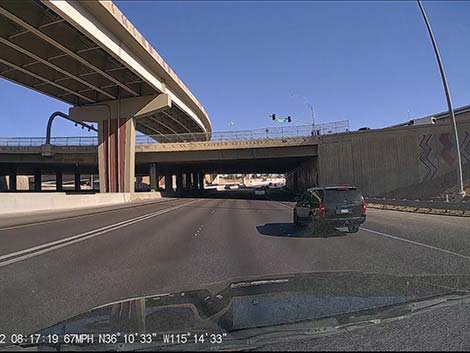
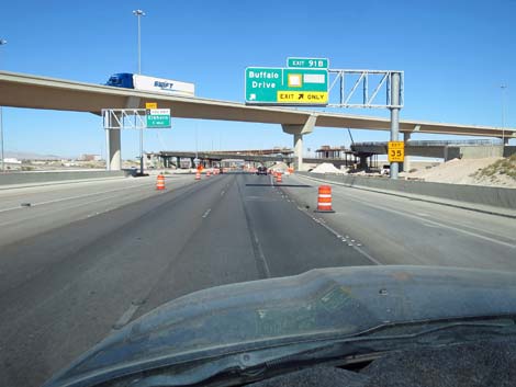
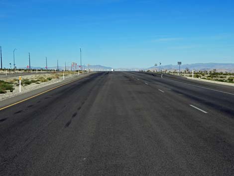
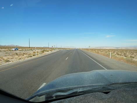
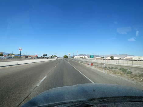
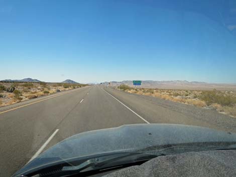
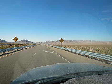
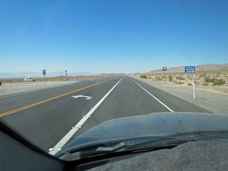
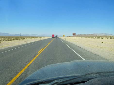
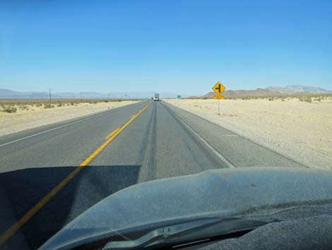
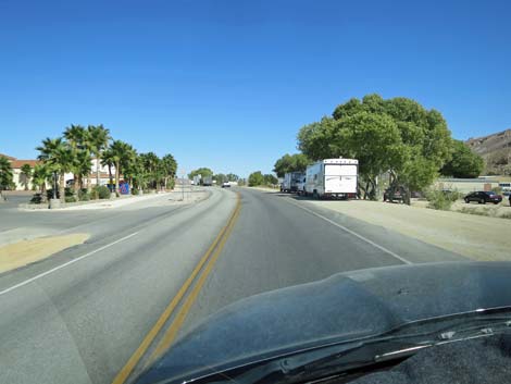
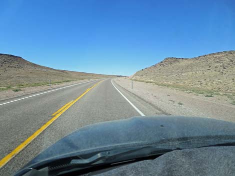
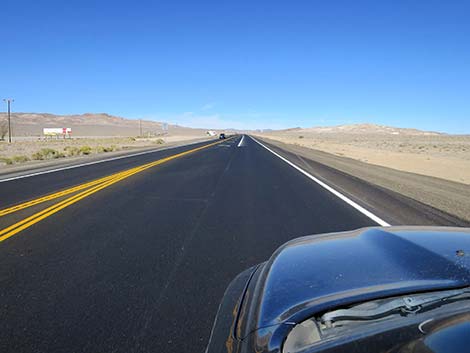
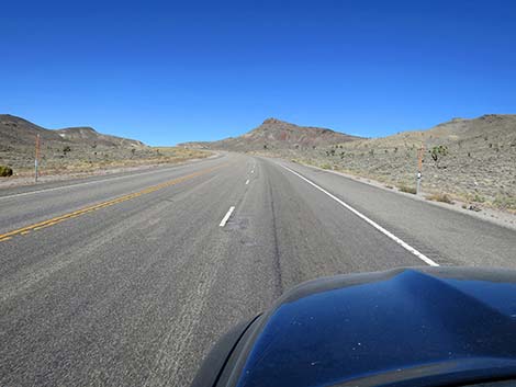
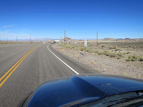
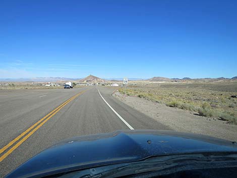
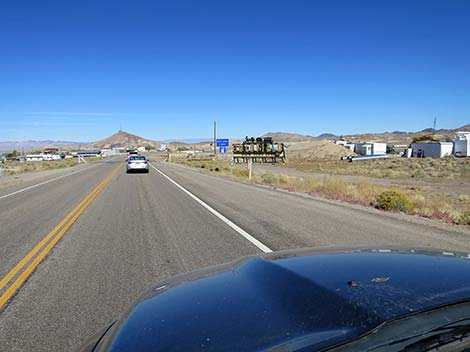
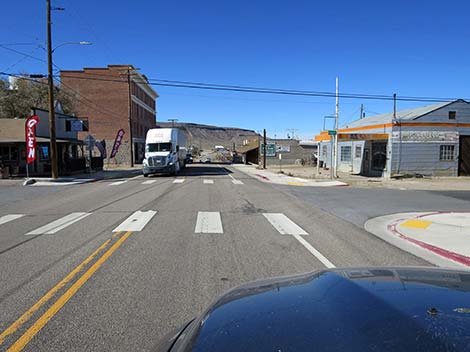
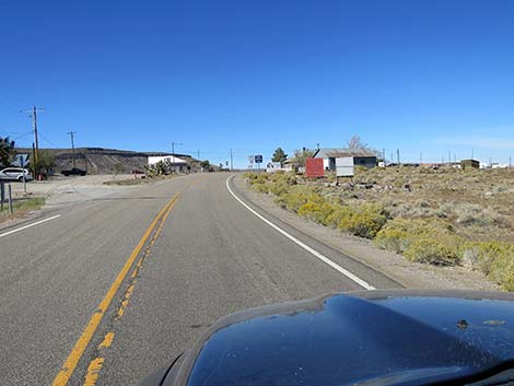
The Road From the Spaghetti Bowl (Table 1, Site 0800), the intersection of Highway 95 and Highway 93 in downtown Las Vegas, Highway 95 North runs west across the city as a typical, multilane interstate highway crowded with urban traffic. At about 2.1 miles out, Highway 95 passes Valley View Blvd (Site 1915). Exit here and turn right to do some bird watching at Lorenzi Park. At the same exit, birdwatchers can turn left to visit the Las Vegas Springs Preserve. At about 4.5 miles out, Highway 95 passes the exit for Summerlin Parkway (Site 0226). Summerlin Parkway takes drivers to the west edge of the urban area to places such as Red Rock Canyon National Conservation Area. Past the interchange, Highway 95 bends right and runs due north. At about 10.5 miles out, the highway bends left to the northwest, and at 13.2 miles out, Highway 95 passes Highway I-215 (Site 1916), the beltway around town. |
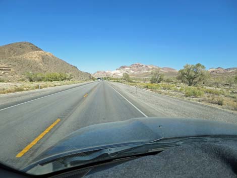
 Highway 95 approaching Summerlin Parkway interchange (view NW) |
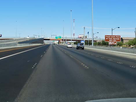
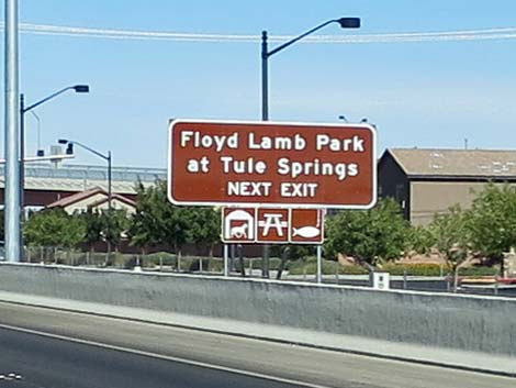
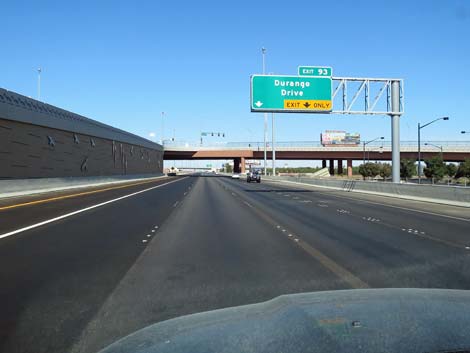
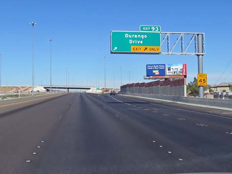
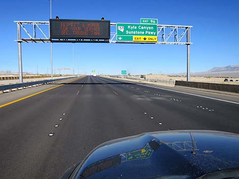
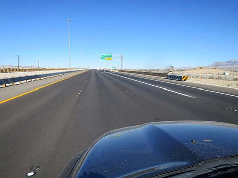
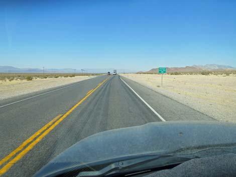
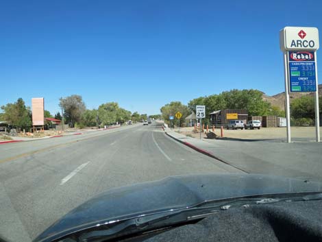
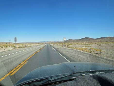
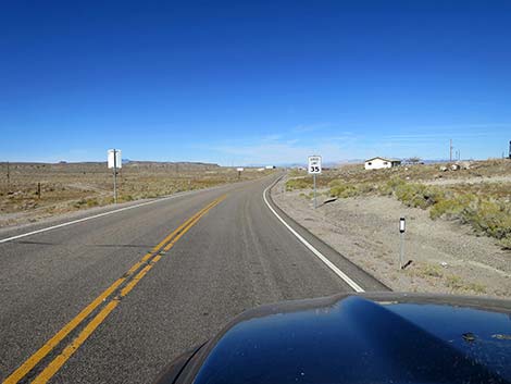
Shortly thereafter, at about 13.9 miles out, Highway 95 passes the exit to North Durango (Site 1540), which leads north to Floyd Lamb Park, another good urban park for birdwatching, walking, and fishing. Out on the edge of town, the speed limit rises to 70 mph, and at about 16.5 miles out, Highway 95 passes Kyle Canyon Road (Site 0667). Drivers exit right then bend left under Highway 95 to head west towards Mt. Charleston in the Spring Mountains National Recreation Area. Mt. Charleston provides premier hiking and birdwatching at higher elevations than we normally experience living in the desert. At about 19.7 miles out, Highway 95 passes the exit to the Las Vegas Paiute Reservation (Site 0269). For drivers heading north, this is the last gas available (just east of the exit ramps). Note that there is no gas on Mt. Charleston. This is also the last controlled-access highway off-ramp before Mercury, so the remaining exits are simple road intersections, only some of which have exit lanes -- use caution with using these exits and keep one eye on the rearview mirror. |
 Highway 95 at Summerlin Parkway interchange (view N) |
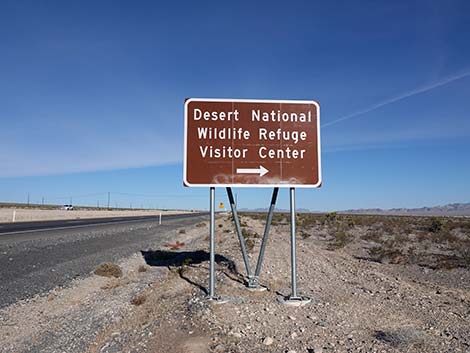
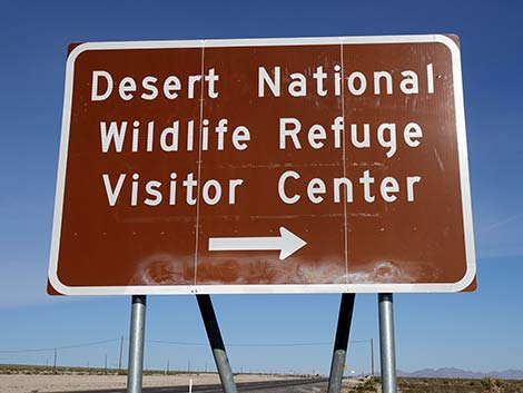
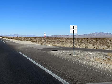
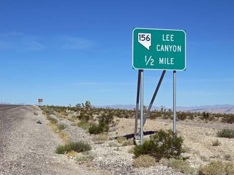
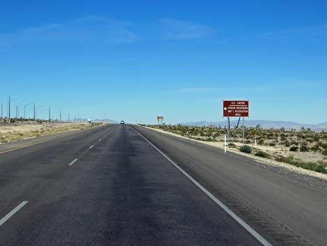
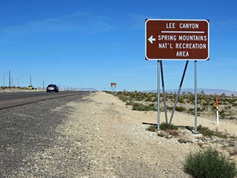
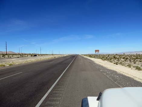
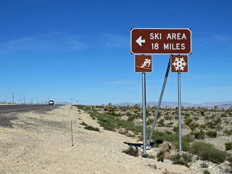
At about 25.9 miles out, Highway 95 passes Corn Creek Road (Site 0350), on the right. There is no exit lane, so keep an eye on the rearview mirror and carefully pull onto the paved shoulder. Corn Creek Road provides access to Desert National Wildlife Refuge and some of the best birding and most wild-and-remote county in all of southern Nevada. At about 30.3 miles out, Highway 95 passes Lee Canyon Road (Site 0668), on the left. An exit lane makes this turnoff a bit safer than others. Lee Canyon Road leads to the Lee Canyon section of Mt. Charleston in the Spring Mountains National Recreation Area. Lee Canyon provides some great hiking, birdwatching, and camping, plus it offers a small seasonal ski area. At about 35.8 miles out, Highway 95 passes Cold Creek Road (Site 0341), on the left. An exit lane makes this turnoff a bit safer than others. Cold Creek Road provides access to the state prison, leads to the town of Cold Creek, and provides access to northern portions of the Spring Mountains National Recreation Area. The trail up Bonanza Peak, which stands high above Cold Creek Town, it a stout hike with rewarding views. |
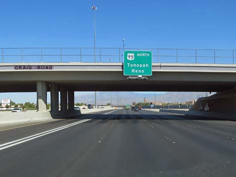 Highway 95 at Craig Road (view N) |
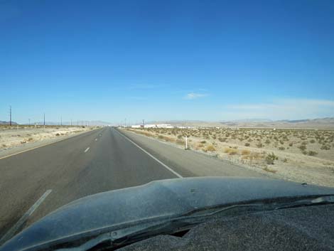
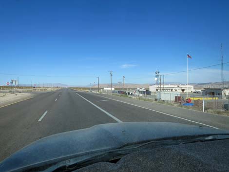
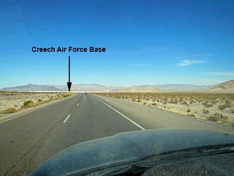
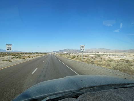
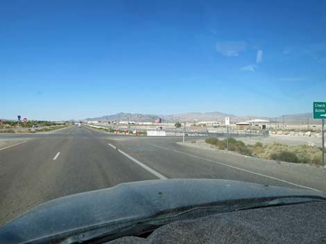
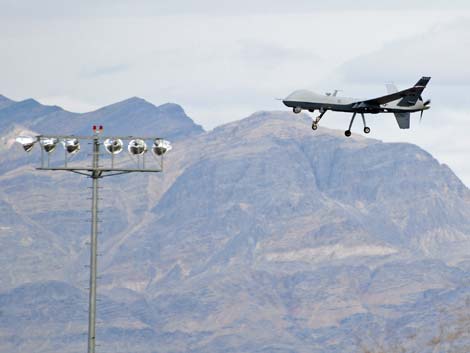
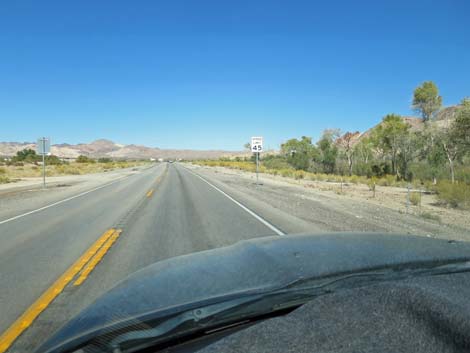
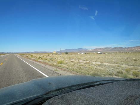
At about 43.0 miles out, Highway 95 enters the town of Indian Springs (Site 0964). The speed limit drops to 45 mph, but the highway maintains the look and feel of an interstate, so the Highway Patrol stays busy here. The urban area of Indian Garden is located on the left (south side of the highway), and all of the development on the right is Creech Air Force Base. This is the home base of the American Drone Fleet, and pilots here control drones around the world. Keep an eye out for training flights as pilots practice touch-and-go drone landings parallel to the highway. Leaving Indian Springs, about 44.5 miles out, the speed limit bumps back up to 70 mph, but keep an eye on the airstrip to the right for the next half-mile. At about 46.8 miles out, Highway 95 passes Cactus Springs (Site 0342), a small oasis in the vast desert with trees and a spring pool that attract birds from far and wide, especially during spring migration. |
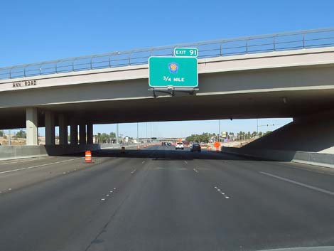 Highway 95 at Ann Road (view NW) |
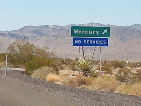
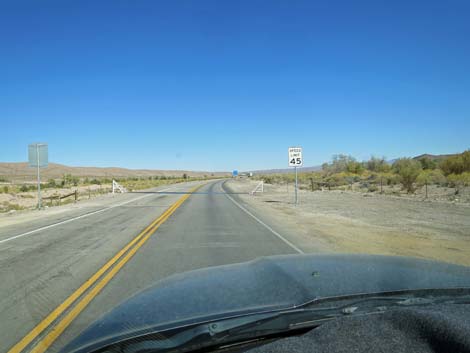
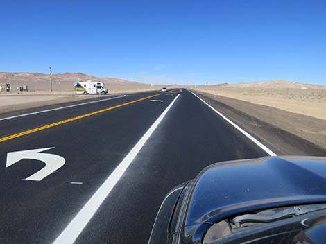
At about 55.5 and 59.1 miles out, Highway 95 passes dirt roads (Site 1917 and Site 1918) to the left (no exit lanes) that lead southwest in the northern most end of the Spring Mountains. Historically both roads had signs announcing "National Forest Access," but recently (Nov 2019), only the second turnoff is signed. These roads make a loop and head up into the foothills of Mt. Stirling in the northern-most portion of the Spring Mountains National Recreation Area. At about 56.5 miles out, Highway 95 exits Clark County and enters Nye County. The divided highway bends to the southwest, and then at about 62.2 miles out, passes an exit ramp to Mercury (Site 0343). Mercury was a bustling city during the Cold War where many workers lived while working on producing and testing nuclear weapons. The number of workers is much lower now, but important national defense research is still performed out there. There are no public services, and intruders will be arrested. Shortly past Mercury Road, the two-lane, divided highway narrows to one lane in each direction with no center divider. Driving on Highway 95 becomes much more dangerous from here on, so drivers should turn on the headlights, pass slow vehicles carefully, and especially watch for oncoming drivers passing in unsafe situations. |
 Highway 95 at Interstate 215 interchange (view NW) |
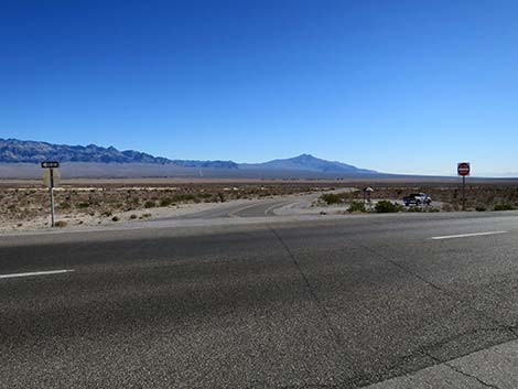
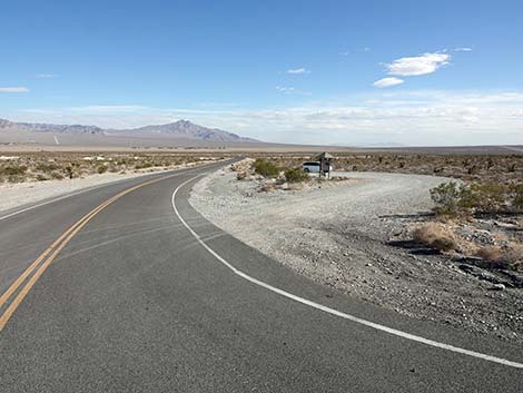
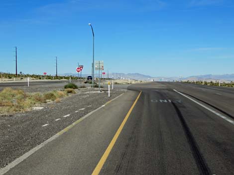
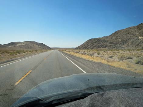
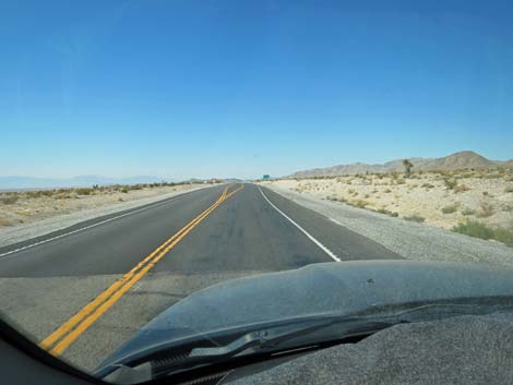
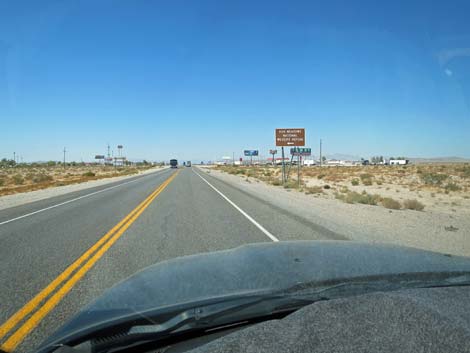
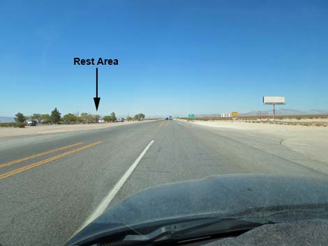
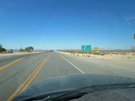
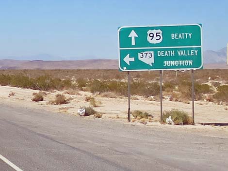
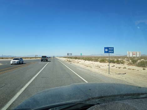
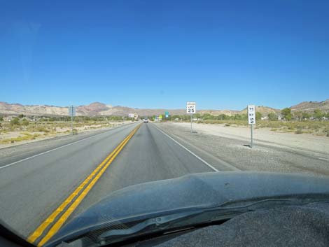
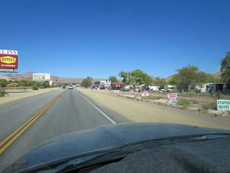
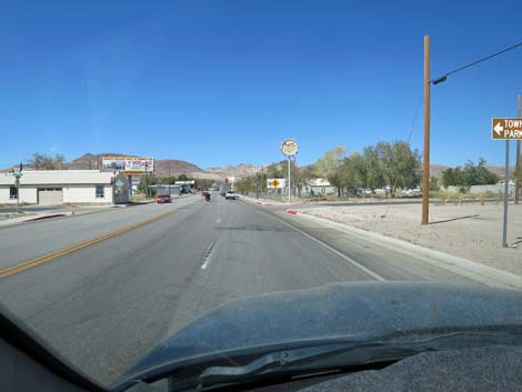
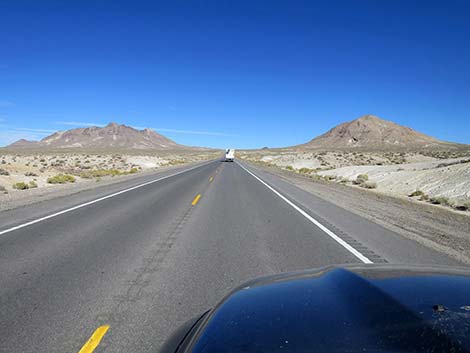
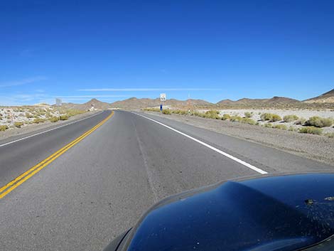
Now as a narrow, two-lane road, Highway 95 drops through a narrow desert canyon hemmed in between the northern tip of the Spring Mountains on the left (south) and the Specter Range on the right (north). After driving down the canyon for about 2 miles, the highway passes Point of Rocks and the landscape opens onto the vast desert flats of the Amargosa Valley. At about 70.2 miles out, Highway 95 passes an intersection with Highway 160 (Site 1298). Highway 160, on the left, leads south into the town of Pahrump. From the intersection, Highway 95 runs northwest across rolling desert country. At about 86.5 miles out, Highway 95 enters the small town of Amargosa Valley. On the right visitors can stop for fireworks, gas, or a brothel, and on the left, gas and an RV campground are available. Just ahead, at the intersection of Highway 95 and Highway 373 (Site 0689; 86.8 miles out), there is a nice Roadside Rest Area on the left. Highway 373 leads south to Ash Meadows National Wildlife Refuge and the Furnace Creek section of Death Valley National Park. |
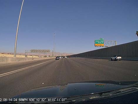
 Highway 95 approaching Durango Drive (view NW) |
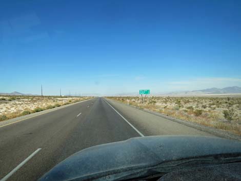
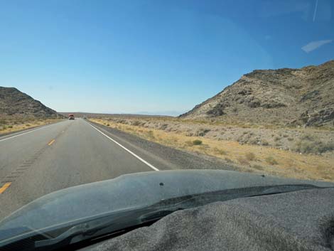
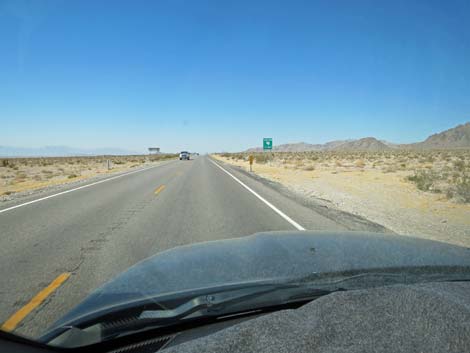
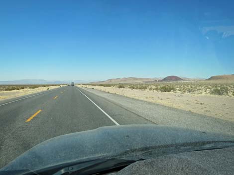
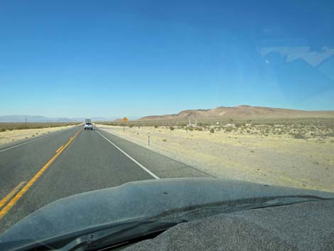
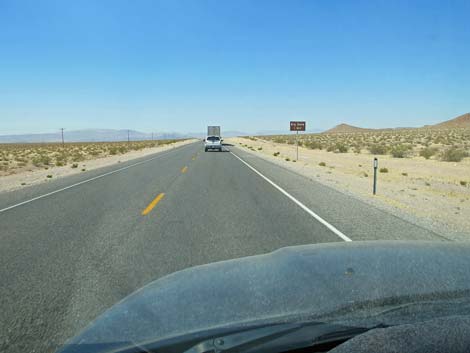
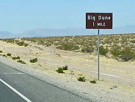
Continuing past the town of Amargosa Valley, Highway 95 heads out onto the Amargosa Valley, proper, where the views are vast. To the right, drivers can see Yucca Mountain (actually a non-remarkable ridge), where the Department of Energy wanted to bury spent nuclear fuel from all of the nuclear power plants around the country. To the left, the mountains in the distance form the eastern border of Death Valley, proper. At about 93.4 miles out, Highway 95 passes a small cinder cone on the right. The cinder cone, being mined for decorative rock, is evidence of geologically recent volcanic activity in the area. On the left, ahead in the near distance, drivers can see Big Dune, an area used heavily by off-road riders and also an ecologically sensitive area. Fortunately, off-roaders get some of the area and nature gets some. At about 95.1 miles out, Highway 95 passes North Valley View Road (Site 1919), which provides access to the east side of Big Dune. Then, at about 99.9 miles out, Highway 95 passes Big Dune Road (Site 1920), which provides access to the west side of the dunes. |
 Sign: Floyd Lamb Park at Tule Springs, next right (view NW) |
By about 104.5 miles out, drivers can see an odd hill ahead on the left side of the road, then at about 105.1 miles out, Highway 95 passes US Ecology Road. US Ecology operates a poorly regulated hazardous waste dump at this site, and for any waste disposal company calling itself "US Ecology," you know there is some serious green-washing going on. Their website says that "hazardous waste liabilities are eliminated and other long-term risks associated with disposal are minimized," but then the place does have a history of blowing up. By about 108.0 miles out, drivers can look ahead on the left, and in the near distance, see the ruins of a mill site. At about 109.0 miles out, Highway 95 passes a dirt road (Site 1921) to the right. This road is a bit rough, but leads to the old Elizalde Cement Plant mill site. For people with a bit of free time, these ruins make an interesting stop. At about 112.5 miles out, Highway 95 bends right and heads nearly due north towards the Beatty Narrows. Ahead to the left, the terraced hillsides of the Bullfrog Mine are visible etched into the sides of Ladd Mountain. Not seen from here, but the ghost town of Rhyolite lies directly behind Ladd Mountain in this view. |
 Sign: Floyd Lamb Park at Tule Springs, next right (view NW) |
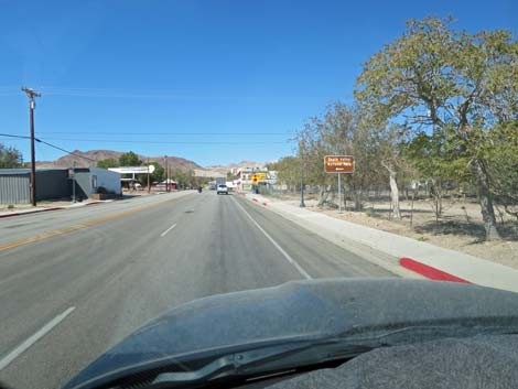
At about 113.3 miles out, Highway 95 passes Airport Road (Site 1922), on the left. For drivers wanting to bypass Beatty on the way to Rhyolite or Death Valley National Park, this partially paved and partially dirt road provides a shortcut (but remember, shortcuts are not always faster). By about 114.4 miles out, Highway 95 is approaching the Beatty Narrows and trees can be seen on the sides of the road. These trees are watered by the Amargosa River, which usually is barely a trickle in this area. The group of trees ahead on the left surrounds a pond where birdwatchers can sometimes find interesting things on the water and in the riparian vegetation along the edges. Shortly ahead, trees line both sides of the highway as the road passes through Beatty Narrows (Site 0400). As the highway emerges from the narrows, the speed limit drops to 45 mph at the beginning of Beatty. Quickly, the speed limit drops to 35 and then 25 mph. Watch the speed here as Beatty has a reputation for being a speed trap. |
 Highway 95 approaching Durango Drive (view NW) |
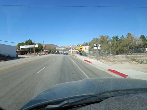
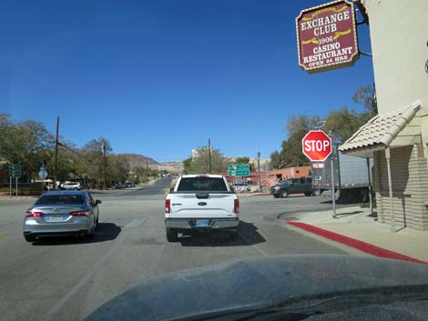
Highway 95 enters town, proper, and bends to the left to run northwest. At about 116.2 miles out, Highway 95 arrives at a stop sign at the intersection with Highway 374 (Site 0899). At the stop sign, Highway 374 turns left and heads southwest towards Rhyolite and Death Valley National Park, a city street (2nd Street) continues straight, and Highway 95 turns to the right. Sitting on the corner at the stop sign, the historical Exchange Club proudly proclaims the history of the area. After the turn, now running northeast, Highway 95 continues through Beatty where gas and other services are available. At the north end of town, gas, food, and lodging are available on the left. As quickly as one entered town, the speed limit bumps back to 45, the highway crosses a cattle guard, and drivers head back into the desert at 70 mph. For the next few miles, however, drivers encounter a broad expanse of saltgrass meadows, which are quite a different habitat from the desert landscape on the other side of town. |
 Highway 95 approaching Durango Drive exit (view NW) |
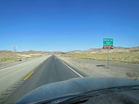
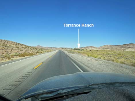
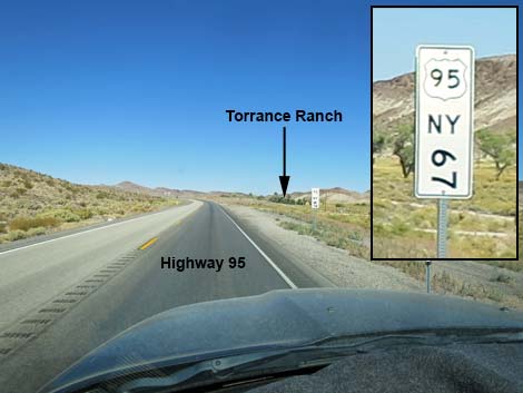
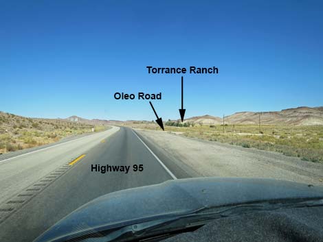
Here, in Oasis Valley, several seeps emerge from the ground to join the Amargosa River and provide habitat for an odd assemblage of creatures including too many Feral Burros and not enough Amargosa Toads. Legend has it that while visiting Angel's Landing, an historical brothel, biologists noticed odd toads in the spring between the buildings. Eventually they realized it was a species unique to Oasis Valley. I can imagine the conversation when they got home: Honest, honey, I was just looking for toads! At about 120.1 miles out, Highway 95 bends a bit to the left to run northwest through an area of particularly nice saltgrass meadow. At about 121.8 miles out, Highway 95 passes through another narrows, this time at Hot Spring. For years, the hot spring was managed as an RV campground, Bailey's Hot Spring, on the right, but it sold and we'll have to see how things develop. At about 123.1 miles out, Highway 95 passes the signed Boiling Pot Road (on the right), and at 123.5 miles out, passes an unsigned road, Oleo Road (Site 1451), on the right. Oleo Road provides access to Torrance Ranch, a Nature Conservancy property ahead on the right that provides great birdwatching and habitat for toads and rare fishes. |
 Highway 95 at Durango Drive (view NW) |
For drivers who miss the unsigned Oleo Road, the next road, at about 124.3 miles out, is signed as Fleur De Lis Road. Birders can turn around and return to Oleo Road, the first left turn after turning around. From there, Highway 95 climbs out of Oasis Valley and into the Great Basin Desert where low-growing sagebrush and salt bushes dominate the landscape rather than the diverse shrubbery and Western Joshua trees of the Mohave Desert. At about 136.0 miles out, Highway 95 passes an unsigned, paved road to the right. This road provides access to the southwest corner of the air force bombing range. There are no public services, and visitors will be turned around at the white buildings seen about 2 miles out. By about 144 miles out, Highway 95 has climbed over a low rise and is now descending into Sarcobatus Flats, a broad, flat valley that stretches for miles. Sarcobatus is the genus for greasewood, a Great Basin shrub that is common in this area. |
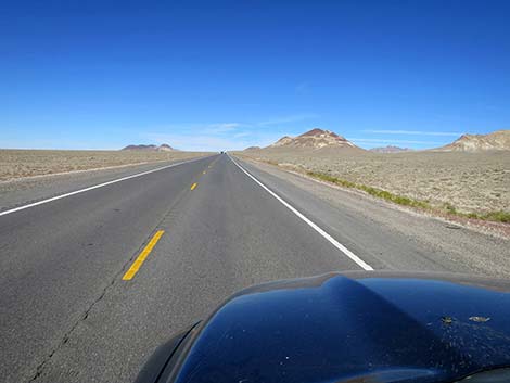
 Highway 95 approaching Kyle Canyon Road (view NW) |
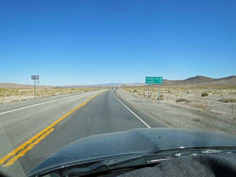
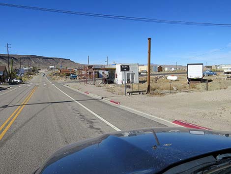
Continuing down into Sarcobatus Flats, at about 148.0 miles out, Highway 95 passes an unsigned dirt road (Site 1923) to the right that leads to the Shady Lady Bed and Breakfast. Historically, this was one of those small, isolated brothels way out in the middle of the desert, but recently it converted to a quiet B&B. I've always thought that the isolated stand of trees would be a good place to stop and do some birdwatching during spring migration, but I never stopped in: Honest, honey, I was just looking for birds! Before long, drivers pass run-down buildings on the left, and then at about 151.7 miles out, Highway 95 passes an intersection with Highway 267 (Site 1924), to the left. This is Scotty's Junction, and Highway 267 (Scotty's Castle Road) leads southwest into the northern end of Death Valley National Park, passing Scotty's Castle along the way. It has always seemed to me that this intersection holds the dashed hopes and dreams of failed entrepreneurs hoping to make a living on the tourist trade. |
 Highway 95 approaching Kyle Canyon Road (view NW) |
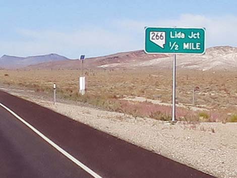
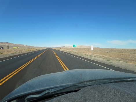
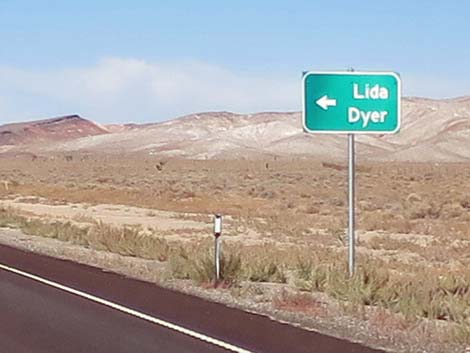
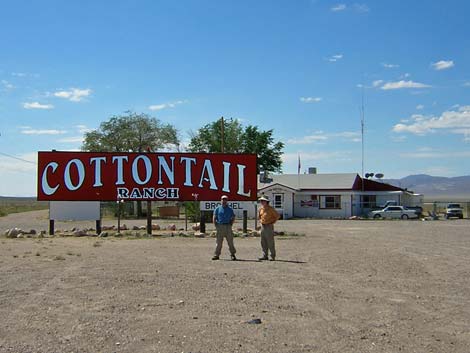
Continuing northwest, Highway 95 gradually climbs over a low ridge (Slate Ridge) at Stonewall Pass (159.4 miles out) and begins a gradual descent into Lida Valley. At about 163.6 miles out, Highway 95 exits Nye County and enters Esmeralda County near the bottom of the valley. At about 167.8 miles out, Highway 95 passes an intersection with Highway 266 (Site 1925), Lida Road. Dilapidated buildings at the intersection (on the left) are what remains of the Cottontail Ranch, another historical brothel way out in the middle of the Nevada desert that closed some years ago. Lida Road runs southwest along the base of the Cuprite Hills and Mt. Jackson Ridge, then climbs over the Palmetto Mountains into Fish Lake Valley. For drivers with the time, Lida Road can be used as a scenic alternative route that bypasses the towns of Goldfield and Tonopah and reconnects with Highway 95, but there is no gas or other services. Lida Road also connects with CA Highway 168, that leads to the White Mountains and Big Pine along Highway 395 at the base of the Sierra Nevada Mountains. For drivers heading to Yosemite National Park, this is a good route. |
 Highway 95 approaching exit to Kyle Canyon Road (view NW) |
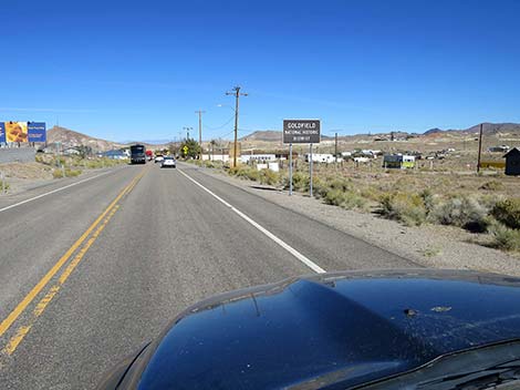
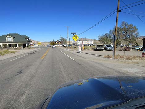
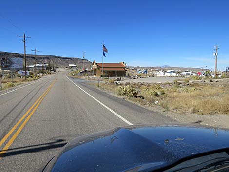
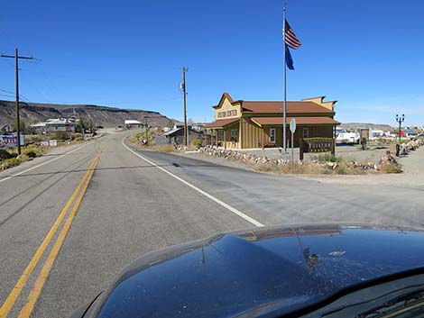
Continuing north past Lida Junction, Highway 95 climbs gradually into the Goldfield Hills, and in doing so, re-enters the northern-most portion of the Mohave Desert, evidenced by the presence of WEstern Joshua trees. At about 180.4 miles out, Highway 95 climbs over Goldfield Summit and begins to quickly descend towards the town of Goldfield. The speed limit drops to 45 and 35 mph, then the highway crosses a cattle guard and the speed limit drops to 25 mph. As in other towns along Highway 95, law enforcement makes money by writing speeding tickets through here. After making a sharp turn (20 mph) to the left, Highway 95 runs northwest through downtown Goldfield (Site 1926). The town hosts one gas station, a couple of diners, a hotel, and lots of history. The brick Goldfield Hotel, on the left, is listed on the Nevada State Register of Historic Places, and the entire Goldfield Historic District is listed on the National Register of Historic Places. Just west of Goldfield Hotel, on the right, visitors will find a rest area, information center, toilets, and the historical bottle house. The bottle house has been deteriorating for years, but the community is doing some restoration, and it remains an interesting place for a short visit. |
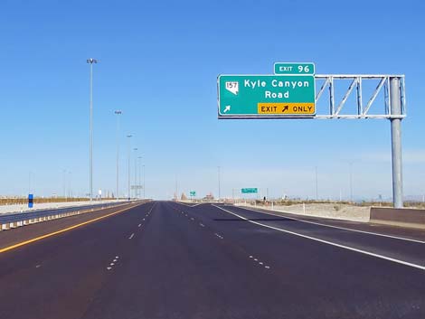 Highway 95 at Kyle Canyon Road to Mt. Charleston (view NW) |
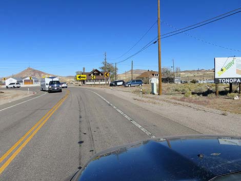
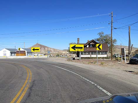
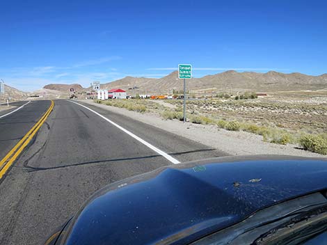
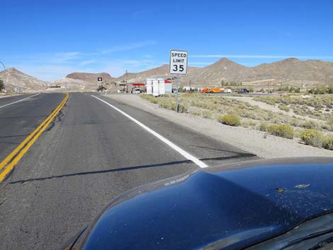
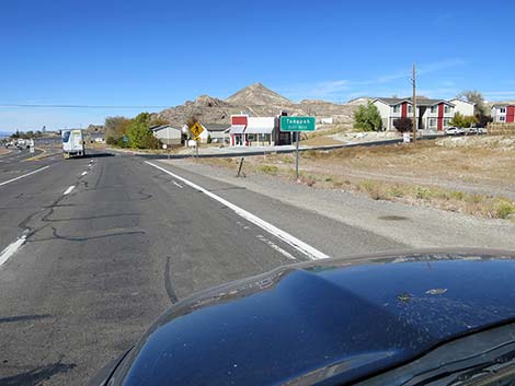
Exiting Goldfield, the speed limit gradually increases back to 70 mph again as Highway 95 descends towards Big Wash Valley and back into the Great Basin Desert. At about 187.1 miles out, Highway 95 passes an intersection with Silver Peak Road (Site 1927), to the left. Silver Peak Road runs west towards the Silver Peak mining area, but it also passes Alkali Hot Spring at about 6.5 miles out. Alkali Hot Spring offers primitive camping and a nice, but small, pool of naturally hot water. Continuing north on Highway 95, the highway passes through the bottom of Big Wash Valley and begins a long, steep climb towards Tonopah. Fortunately, there are some passing zones that allow faster drivers to safely pass slower vehicles. Eventually, at about 208 miles out, the speed limit drops to 45, 35, and 25 mph. Pay extra attention here because law enforcement works downtown Tonopah pretty hard. The road northbound through Tonopah is all downhill, so it is easy to inadvertently exceed 25 mph. Tonopah is a full-service town with several gas stations, restaurants (including fast food), and hotels. |
 Highway 95 passing Kyle Canyon Road exit (view NW) |
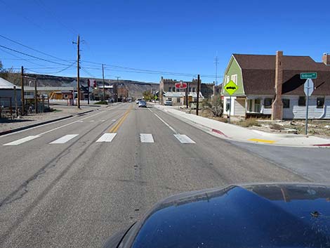
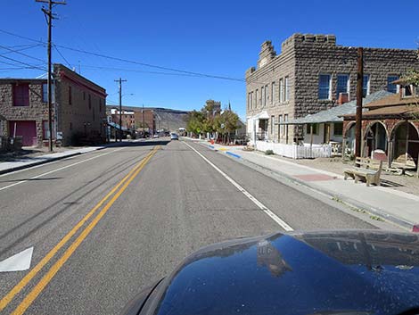
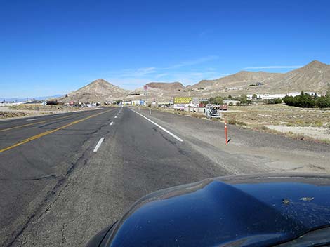
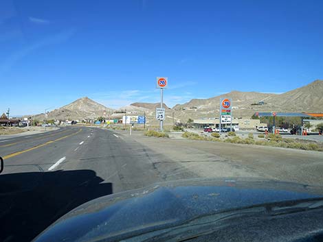
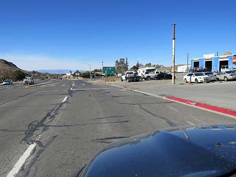
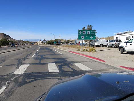
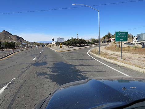
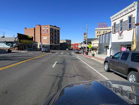
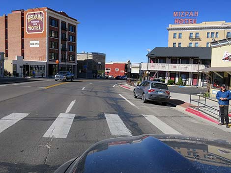
At about 209.0 miles out, Highway 95 passes an intersection with Highway 6 (Site 0401), on the right. Highway 6 runs east across the wilds of middle Nevada towards Ely. Just past Highway 6, Highway 95 enters the Tonopah historical district, which runs for about 1/3rd of a mile and hosts several hotels and places to eat, drink, and shop. The Mining Park ($5 admission) offers a glimpse into the mining history of the area, and the cemetery at the north end of town holds the memory of people who lived and worked the area. Continuing north, the speed limit returns to 70 mph as Highway 95 descends into the southern extension of the vast Big Smoky Valley. To the north, drivers can see an enormous solar power plant, and at about 13.6 miles past Highway 6, the highway passes Miller's Rest Area (Site 0563), a spot of trees and green grass set in the vastness of the desert that is a magnet for migrating birds. Beyond Miller's, Highway 95 runs north across the vast desert landscape towards Reno, about 225 miles north of Tonopah, and other points north. |
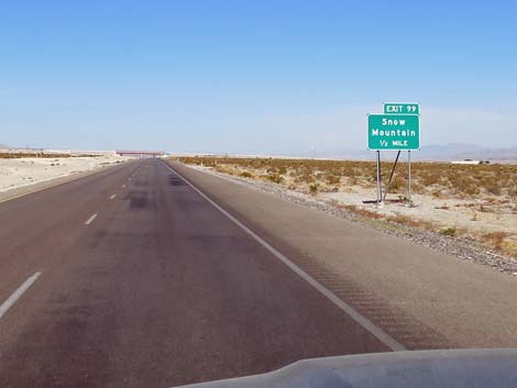 Highway 95 approaching Snow Mountain Road (view NW) |
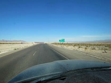 Highway 95 approaching Snow Mountain exit (view NW) |
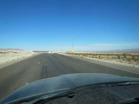 Highway 95 at Snow Mountain exit (view NW) |
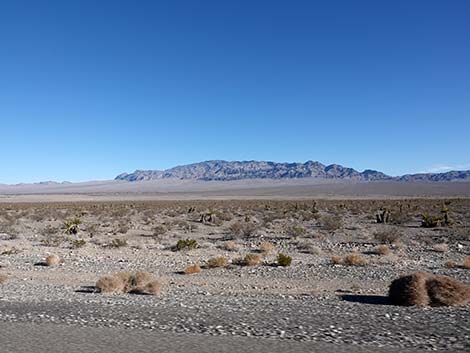 The Sheep Range, on Desert NWR, to the right (view NE) |
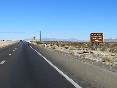 Highway 95 sign: Desert National Wildlife Refuge Visitor Center, right |
 Sign: Desert National Wildlife Refuge Visitor Center (view N) |
 Sign: Desert National Wildlife Refuge Visitor Center (view N) |
 Highway 95 sign: Corn Creek Road to the right |
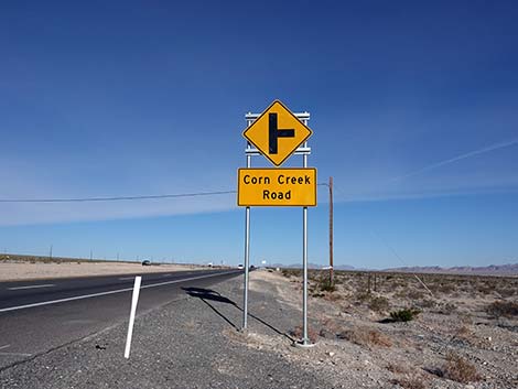 Highway 95 sign: Corn Creek Road, to the right (view NW) |
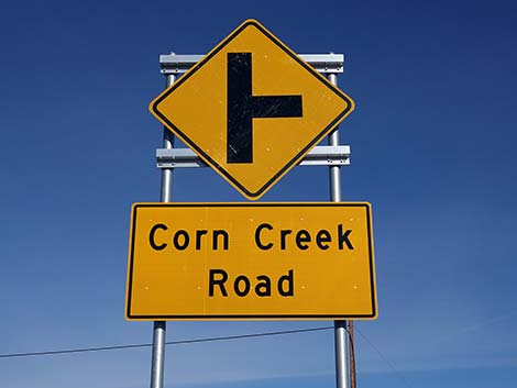 Highway 95 sign: Corn Creek Road, to the right (view NW) |
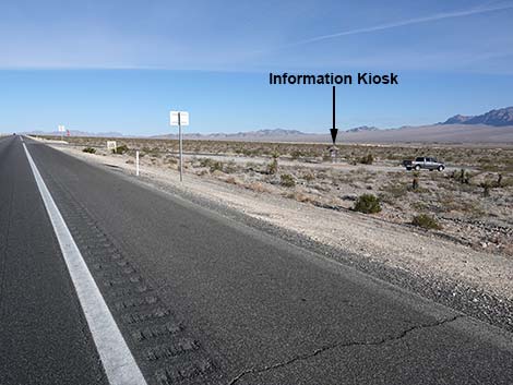 Tule Spring Fossil Bed National Monument info kiosk (view NW) |
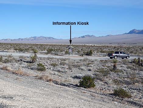 Tule Spring Fossil Bed National Monument info kiosk (view NW) |
 Highway 95 approaching Corn Creek Road (view NW) |
 Highway 95 at Corn Creek Road (view NW) |
 Corn Creek Road (view E from the center of Highway 95) |
 Corn Creek Road (view E from Highway 95) |
 |
 |
 Building used for military training at the south end of Creech AFB |
 Big, wide open scenery (view N) |
 |
 |
 Highway 95 approaching Lee Canyon Road (view NW) |
 Sign: Lee Canyon Road 1/2 mile (view NW) |
 Highway 95 approaching Lee Canyon Road (view NW) |
 Sign: Lee Canyon; Spring Mountains National Recreation Area |
 Highway 95 approaching Lee Canyon Road (view NW) |
 Sign: Ski Area 18 miles (view NW) |
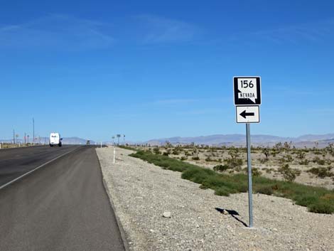 Sign: Nevada Highway 156, to the left (view NW) |
 Highway 95 approaching Lee Canyon Road (view NW) |
 Highway 95 exiting left onto Lee Canyon Road (view NW) |
 Sign: Tonopah 175 miles (view NW) |
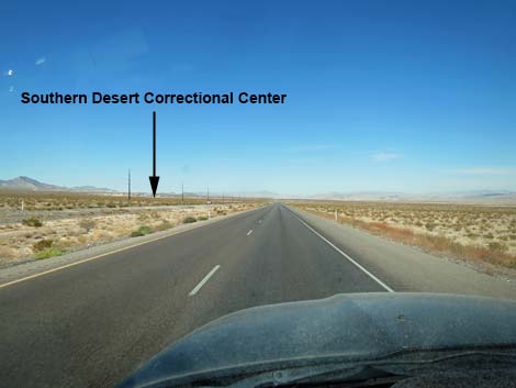 Southern Desert Correctional Center in the distance (view NW) |
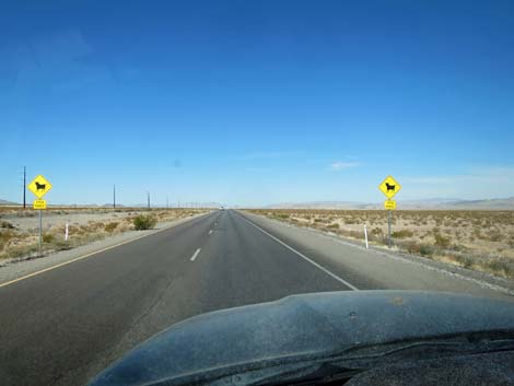 Signs: watch for cattle -- open range (view NW) |
 Sign: Cold Creek Road to the left (view NW) |
 Sign: Correctional Center to the left (view NW) |
 Highway 95 at Cold Creek Road (view NW) |
 Highway 95 approaching historical NV National Guard Armory |
 Highway 95 at former Nevada National Guard Armory |
 Creech Air Force Base in the distance (view NW) |
 Highway 95 approaching Indian Springs and Creech AFB (view W) |
 Approaching Indian Springs, the speed drops to 45 mph (view W) |
Indian Springs
 Main turn-off to Creech AFB (view W) |
 Highway 95 entering Indian Springs town (view W) |
 Indian Springs town, on the left (view W) |
 Watch for low-flying drones |
 Creech Air Force Base, on the right (view W) |
 Highway returns to 70 mph; runway on the right (view W) |
Indian Springs to Amargosa Valley
 Highway 95 approaching a distance sign (view NW) |
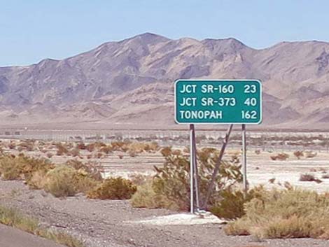 Sign: Tonopah 162 miles (view W) |
 Highway 95 heading into the open desert (view W) |
 Cactus Spring appears in the distance (view W) |
 Highway 95 approaching Cactus Spring (view W) |
 Highway 95 approaching Cactus Spring turn-off (view W) |
 Highway 95 exiting onto south Cactus Spring Road (view W) |
 Highway 95 traversing open desert (view W) |
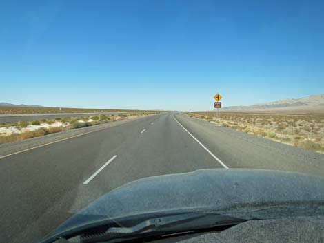 Approaching the second National Forest access road (view NW) |
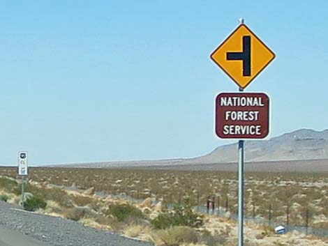 Sign: National Forest Service (to the left) |
 Left to access National Forest lands (view NW) |
 Sign: Nye County line (view NW) |
 Sign: Mercury 1/2 miles; no services (view SW) |
 Sign: Mercury; no services (view SW) |
 Sign: Mercury; no services (view SW) |
 Highway 95 approaching exit to Mercury (view SW) |
 Highway 95 passing exit to Mercury (view SW) |
 Past Mercury, the highway narrows (view SW) |
 Four lanes narrowing to two (view NW) |
 Highway 95 is now a 2-lane highway (view SW) |
 Highway 95 entering a desert canyon (view W) |
 Highway 95 traversing a desert canyon (view W) |
 Highway 95 passing through Point of Rocks (view W) |
 Sign: Junction Highway 160; 1/2 mile |
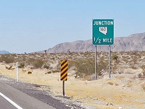 Sign: Junction Highway 160; 1/2 mile |
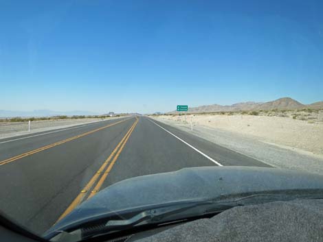
 Highway 95 approaching Highway 160 (view NW) |
 Sign: Tonopah (straight); Pahrump (left) |
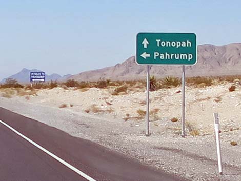 Sign: Tonopah (straight); Pahrump (left) |
 Highway 95 at Highway 160 (view NW) |
 Sign: Beatty 46; Tonopah 139 (view NW) |
 Highway 95 traversing open desert (view NW) |
 Highway 95 traversing open desert hills (view NW) |
 Highway 95 traversing open desert (view NW) |
 Amargosa Valley in the distance (view NW) |
 Speed limit drops to 55 mph (view NW) |
 Sign: Highway 373; 1/2 mile |
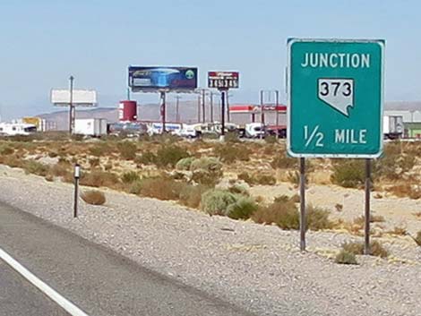 Sign: Highway 373; 1/2 mile |
 Sign: Ash Meadows National Wildlife Refuge to the left |
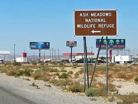 Sign: Ash Meadows National Wildlife Refuge to the left |
 Entering the village of Amargosa Valley (view NW) |
 The village of Amargosa Valley (view NW) |
 Sign: Hwy 95 to Beatty (straight); Hwy 373 to Death Valley (left) |
 Sign: Hwy 95 to Beatty (straight); Hwy 373 to Death Valley (left) |
 Sign: Rest Area on the left (view NW) |
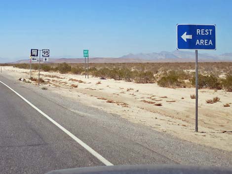 Signs: Rest Area (left); Hwy 95 (straight); Hwy 373 (left) |
 Sign: Turn on Headlights next 28 miles (to Beatty; view NW) |
Amargosa Valley to Beatty
 Sign: Beatty 29; Goldfield 96; Fallon 329 |
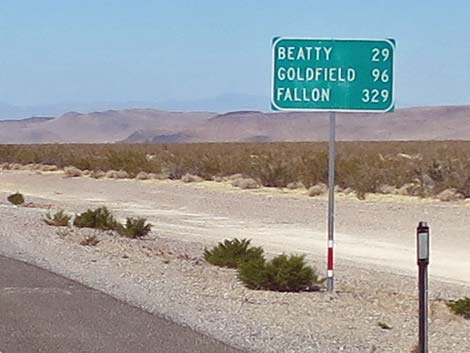 Sign: Beatty 29; Goldfield 96; Fallon 329 |
 Highway 95 traversing open desert; cinder cone on the right |
 Caution: truck entering the highway |
 Sign: Big Dune; 1 mile (view NW) |
 Sign: Big Dune; 1 mile (view NW) |
 Big Dune in the distance (view W) |
 Sign: Big Dune to the left (view NW) |
 Sign: Valley View Blvd access to Big Dune (view NW) |
 Sign: Amargosa Farm Area (view NW) |
 Highway 95 at Valley View Blvd to Big Dune and Amargosa Farms |
 Sign: another access point to Big Dune |
 Highway 95 at dirt road access to Big Dune |
 Highway 95 approaching poorly regulated dump site, on the left |
 Highway 95 approaching dump site road (view NW) |
 Bare Hills and ruins in the distance on the right (view NW) |
 Highway 95 at road to ruins on the right (view NW) |
 Highway 95 approaching Beatty (view N) |
 Sign: road to the left ahead (view N) |
 Sign: Airport to the left (view N) |
 Highway 95 at Airport Road (view NW) |
 Highway 95 entering Beatty Narrows (view N) |
 Cottonwood, Ash, and other trees along the Amargosa River |
 Speed limit drops to 45 mph (Beatty is a speed trap: drive carefully) |
Beatty
 Sign: Beatty town limit sign; Elevation 3300 ft (view N) |
 Speed limit drops to 25 mph (Beatty is a speed trap: drive carefully) |
 Highway 95 entering Beatty (view N) |
 Highway 95 in Beatty (view NW) |
 Sign: Death Valley National Park, to the left |
 Sign: Highway 374 (left); Highway 95 (right) |
 Highway 95 at the historical Exchange Club (view NW) |
 Highway 95 at intersection with Highway 374 (view NW) |
 Sign: Hwy 374 to Rhyolite and Death Valley to the left |
 Highway 95 in Beatty (view NE) |
 Highway 95 in Beatty (view NE) |
 Highway 95 at north end of Beatty (view NE) |
 Speed limit returns to 45 mph (view NE) |
 Sign: Scotty's Junction 36; Tonopah 93 miles (view NE) |
Beatty to Scotty's Junction
 Speed limit returns to 70 mph (view NE) |
 Angel's Landing (trees on the left) |
 Highway 95 approaching Angel's Landing road (on the left) |
 Highway 95 traversing saltgrass meadows (watch for feral burros) |
 Sign: Bailey Hot Spring ahead (view N) |
 Bailey Hot Spring (view N) |
 Sign: Pioneer Road, to the left |
 Highway 95 traversing saltgrass meadows (view N) |
 Sign: Boiling Pot Road; Mountain Bike Trailhead, to the right |
 Highway 95 with Torrance Ranch in the distance (view N) |
 Sign: Mile Marker 67 (view N) |
 Highway 95 approaching Oleo Road (view N) |
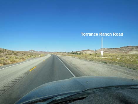 Highway 95 approaching Torrance Ranch Road (view N) |
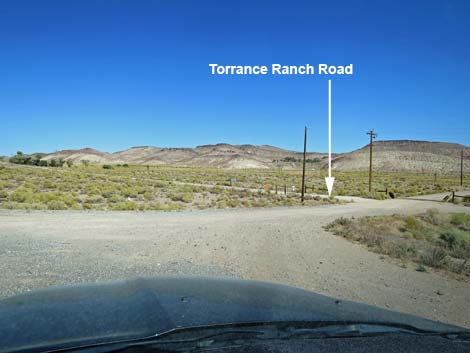 Highway 95 at turn to Torrance Ranch Road (view NE) |
 Sign: Fleur De Lis Road, on the right (view N) |
 Highway 95 traversing open desert (view NW) |
 Sign: Road to the right ahead (view N) |
 Highway 95 at military access road (view N) |
 Highway 95 traversing big, open desert (view NW) |
 Highway 95 traversing big, open desert (view NW) |
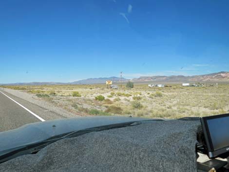
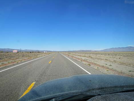
 Highway 95 approaching Shady Lady (view NW) |
 Shady Lady sign and building (view NW) Shady Lady sign and building (view NW) |
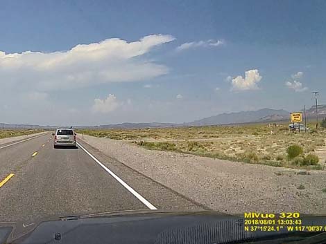 Highway 95 at Shady Lady B&B Road (view NW) |
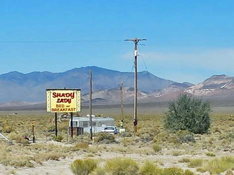 Shady Lady Bed and Breakfast sign (view NW) |
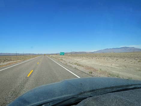
 Highway 95 approaching Scotty's Junction (view NW) |
 Sign: Highway 267; Scotty's Junction, 1/2 miles (view NW) |
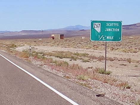 Sign: Highway 267; Scotty's Junction, 1/2 miles (view NW) |
 Sign: Death Valley National Park; Scottys Castle (to the left) |
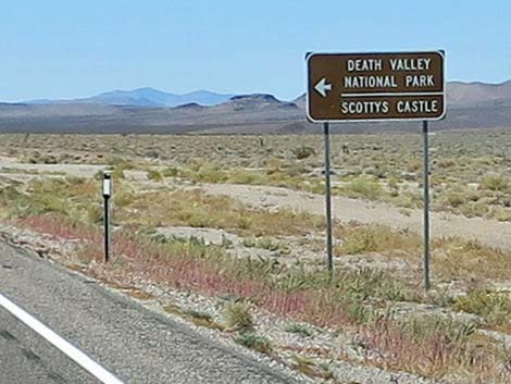 Sign: Death Valley National Park; Scottys Castle (to the left) |
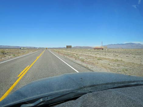
 Highway 95 at Scotty's Junction (view NW) |
Scotty's Junction to Goldfield
 Sign: Goldfield 31; Tonopah 56; Fallon 232 |
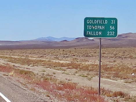 Sign: Goldfield 31; Tonopah 56; Fallon 232 |
 Highway 95 traversing big, open desert (view NW) |
 Highway 95 climbing towards desert hills (view NW) |
 Highway 95 climbing, passing over desert hills (view NW) |
 Highway 95 traversing more big, open desert (view NW) |
 Sign: Esmeralda County Line |
 Highway 95 traversing more big, open desert (view N) |
 Sign: Highway 266; Lida Junction; 1/2 mile |
 Sign: Highway 266; Lida Junction; 1/2 mile |
 Highway 95 approaching historical site of the Cottontail Ranch |
 Highway 95 approaching Lida Junction (view N) |
 Sign: Lida; Dyer; to the left (view N) |
 Turn lane for Lida and Dyer (view NW) |
 Highway 95 at Highway 266 (Lida Junction; view N) |
 Cottontail Ranch in 2005 (view S) |
 Highway 95 continuing past Highway 266 (Lida Junction; view N) |
 Wide, open desert (view N) |
 |
 |
 Joshua Trees again dot the hillsides (view N) |
 Highway 95 climbing towards Goldfield Summit (view N) |
 Highway 95 crossing Goldfield Summit (view N) |
 Descending over Goldfield Summit (view N) |
 Speed limit drops to 45 mph (view N) |
 Speed limit drops to 35 mph (view N) |
 Approaching the edge of Goldfield (view NE) |
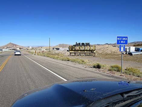 Sign: Rest Area 1 mile (view NE) |
 Highway 95 at cattle guard and 25 mph sign (view NE) |
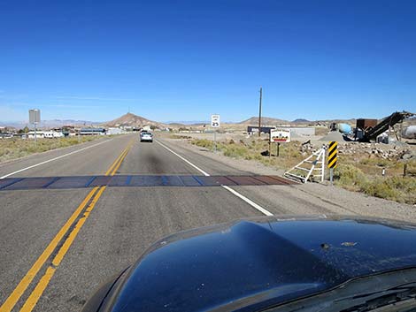
 Entering Goldfield (view NE) |
 Approaching sharp curve to the left (view NE) |
 Approaching sharp curve to the left (view NE) |
 Sharp bend to the left (view NE) |
 Goldfield town (view NW) |
 Historical building in Goldfield town (view NW) |
 Goldfield Hotel (tall brick building on the left; view NW) |
 Sign: Park ahead on the right (view NW) |
 Approaching Goldfield visitor center (view NW) |
 Goldfield visitor center, on the right (view NW) |
 Approaching the far edge of Goldfield (view NW) |
 Leaving Goldfield, speed limit returns to 35 mph (view N) |
 Heading back into the desert (view NW) |
Goldfield to Tonopah
 Outside Goldfield, the speed limit returns to 70 mph (view N) |
 Sign: Alkali 7; Silver Peak 25 (to the left; view N) |
 Highway 95 at Silver Peak Road (view N) |
 Hwy 95 traversing desert flats heading towards Tonopah mountains |
 |
 |
 |
 |
 |
 |
 Highway 95 beginning the climb to Tonopah |
 Climbing into the mountains (view NE) |
 Highway 95 climbing towards Tonopah with passing lane |
 Tonopah is just over the skyline (view NE) |
 Highway 95 approaching Tonopah; speed limit drops to 55 mph |
 Highway 95 approaching Tonopah; speed limit drops to 55 mph |
 Cattle guard and Nye County line (view NE) |
 Highway 95 at Tonopah Summit; speed limit drops to 35 mph |
 Highway 95 approaching Tonopah; speed limit drops to 35 mph |
 Descending into Tonopah at 25 mph |
 Highway 95 entering Tonopah; speed limit drops to 25 mph |
 Sign: Tonopah city limit |
 Descending through Tonopah at 25 mph |
 Sign: Hwy 95 (straight); Highway 6 (right) |
 Highway 95 approaching Highway 6 (view NW) |
 Highway 95 at Highway 6 (view NW) |
 Highway 95 approaching the Tonopah historical district (view NW) |
 Highway 95 in the Tonopah historical district (view NW) |
Table 1. Highway Coordinates Based on GPS Data (NAD27; UTM Zone 11S). Download Highway GPS Waypoints (*.gpx) file.
| Wpt. | Location | Latitude (N) | Longitude (W) | Elevation (ft) | Point-to-Point Distance (mi) | Cumulative Distance (mi) |
|---|---|---|---|---|---|---|
| 0800 | I-15 at Hwy 93-95 | 36.17427 | 115.15402 | 2,040 | 000.0 | 000.0 |
| 1915 | Highway 95 at Valley View Blvd | 36.17353 | 115.20512 | 2,189 | 002.9 | 002.9 |
| 0226 | Highway 95 at Rainbow Blvd | 36.17673 | 115.24280 | 2,117 | 002.2 | 005.1 |
| 1916 | Highway 95 at Interstate 215 | 36.27792 | 115.26629 | 2,423 | 007.4 | 012.5 |
| 1540 | Highway 95 at Durango Dr. | 36.29841 | 115.28507 | 2,598 | 001.8 | 014.2 |
| 0667 | Highway 95 at Kyle Canyon Rd | 36.32758 | 115.31167 | 2,820 | 002.5 | 016.7 |
| 0269 | Highway 95 at Snow Mountain Rd | 36.36204 | 115.35046 | 3,001 | 003.2 | 019.9 |
| 0350 | Highway 95 at Corn Creek Rd | 36.42601 | 115.42251 | 3,050 | 006.0 | 025.9 |
| 0668 | Highway 95 at Highway 156 | 36.47747 | 115.46718 | 3,300 | 004.4 | 030.4 |
| 0341 | Highway 95 at Cold Creek Rd | 36.52372 | 115.54734 | 2,970 | 005.5 | 035.8 |
| 0964 | Indian Springs Town | 36.57674 | 115.67499 | 3,135 | 008.2 | 044.1 |
| 0342 | Cactus Springs | 36.57800 | 115.72304 | 3,130 | 002.7 | 046.8 |
| 1917 | Highway 95 at Forest Access Road Sou | 36.57489 | 115.87730 | 3,533 | 008.7 | 055.4 |
| 1918 | Highway 95 at Forest Access Road Nor | 36.59344 | 115.93964 | 3,598 | 003.7 | 059.1 |
| 0343 | Highway 95 at Mercury Road | 36.59820 | 115.99669 | 3,506 | 003.3 | 062.4 |
| 1298 | Highway 95 at Hwy 160 | 36.56467 | 116.12237 | 2,860 | 007.8 | 070.2 |
| 0689 | Highway 95 at Highway 373 | 36.64375 | 116.39942 | 2,660 | 016.6 | 086.8 |
| 1919 | Highway 95 at N Valley View Rd | 36.68048 | 116.54159 | 2,590 | 008.3 | 095.1 |
| 1920 | Highway 95 at Big Dune Rd | 36.71924 | 116.61287 | 2,598 | 004.8 | 099.9 |
| 1921 | Highway 95 at Elizalde Cement Plant Rd | 36.81233 | 116.72847 | 2,981 | 009.1 | 109.0 |
| 1922 | Highway 95 at Airport Rd | 36.86815 | 116.75477 | 3,143 | 004.3 | 113.3 |
| 0400 | Beatty, south edge of town | 36.88691 | 116.75041 | 3,360 | 001.3 | 114.6 |
| 0899 | Beatty (downtown) | 36.90842 | 116.75846 | 3,310 | 001.6 | 116.2 |
| 1451 | Highway 95 at Oleo Road | 36.99875 | 116.72428 | 3,648 | 007.3 | 123.5 |
| 1923 | Highway 95 at Shady Lady Rd | 37.25770 | 117.01055 | 3,968 | 024.6 | 148.1 |
| 1924 | Highway 95 at Highway 267 | 37.29880 | 117.05240 | 4,055 | 003.6 | 151.7 |
| 1925 | Highway 95 at Highway 266 | 37.50228 | 117.18392 | 4,689 | 016.1 | 167.8 |
| 1926 | Highway 95 at Goldfield | 37.70847 | 117.23478 | 5,674 | 014.9 | 182.8 |
| 1927 | Highway 95 at Silver Lake Rd | 37.76893 | 117.23977 | 5,400 | 004.4 | 187.1 |
| 0401 | Tonopah | 38.06318 | 117.22252 | 6,120 | 022.0 | 209.1 |
| 0563 | Miller's Rest Area | 38.14061 | 117.45302 | 4,817 | 013.7 | 222.8 |
Happy Hiking! All distances, elevations, and other facts are approximate.
![]() ; Last updated 240331
; Last updated 240331
| Backroads | Hiking Around Las Vegas | Glossary | Copyright, Conditions, Disclaimer | Home |