(Bonanza Trail Junction to Lower Bristlecone Trailhead)
Hiking Around Las Vegas, Spring Mountains (Mt. Charleston), Lee Canyon
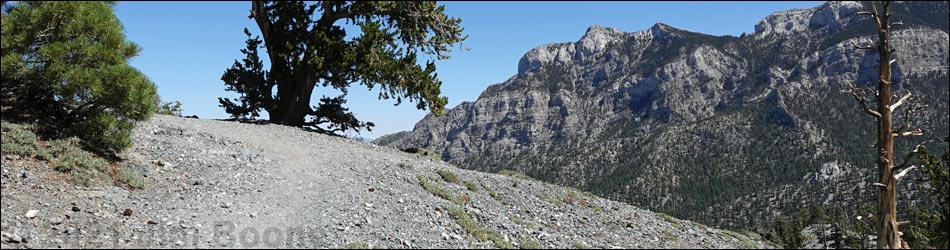
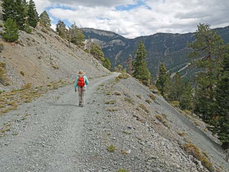
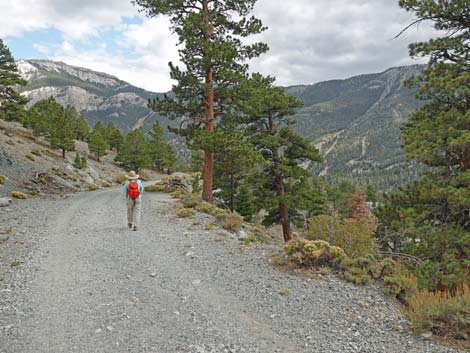
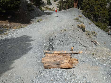
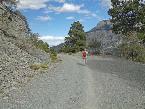
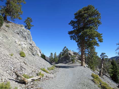
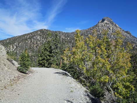
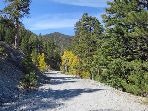
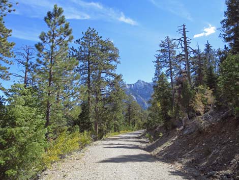
 Bristlecone Trail at Bonanza Trail junction (view NE) |
Overview The Bristlecone Loop Trail is a delightful, moderately strenuous 6-mile hike that can be done in either direction. Starting from the end of Lee Canyon Road (Upper Bristlecone Trailhead) or from near McWilliams Campground (Lower Bristlecone Trailhead), the trail winds around the upper reaches of Lee Canyon passing through Pine-Fir Forests, groves of Quaking Aspen, a Bristlecone Pine forest, and open sunny slopes with big views. There are great views of the surrounding mountain peaks, the ski area, and down Lee Canyon. Here, the hike is described as starting from the upper trailhead, passing through the lower trailhead, and ending at the upper trailhead. Hiking the entire loop requires walking about 1 mile on Lee Canyon Road to close the loop, but steep use-trails can be used to short-cut the highway switchbacks. Link to trail map. |
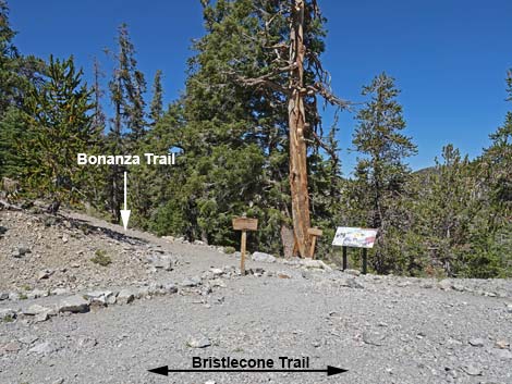
 A pair of signs across the trail (view N) |
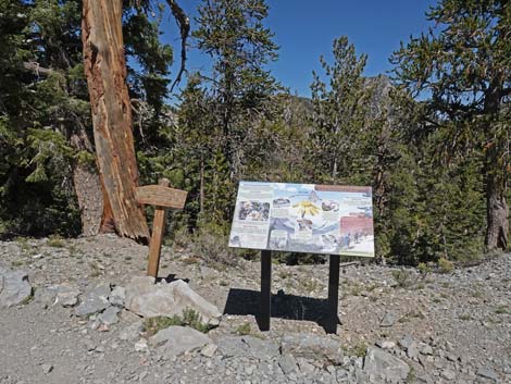
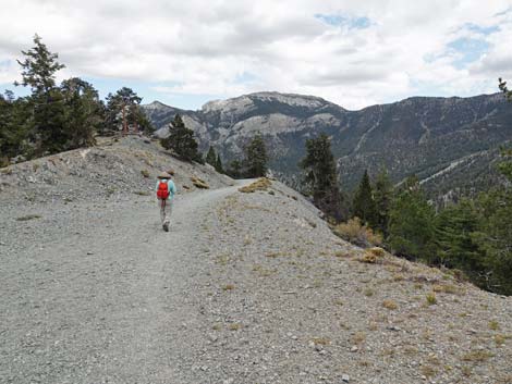
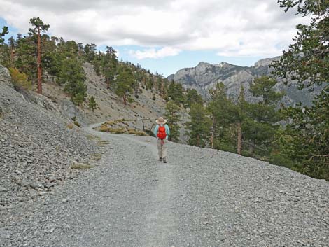
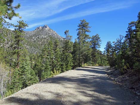
The Hike For details of the start of this trail, see Bristlecone Trail Loop, clockwise, Segment 1. The following two paragraphs are a synopsis of the first 2.5 miles of the hike. From Upper Bristlecone Trailhead (Table 1, Waypoint 01), the fenced trail runs up the little ridge above the paved parking area back towards the ski resort. From there, the trail runs up and around the upper reaches of Lee Canyon for a total of about 1.75 miles to Highpoint Ridge (Wpt. 07), which is a good place to stop, rest, enjoy the views, and gaze in wonder at the ancient Bristlecone Pines. From Highpoint Ridge, the trail continues around the upper reaches of Lee Canyon, eventually running into the end of an old road (Scout Canyon Road; Wpt. 10). Continuing north on the old road, at about 2.43 miles out, the Bristlecone Trail arrives at a junction with the Bonanza Trail (Wpt. 06). The trail junction is marked by two wooden directional signs and an information sign about rare butterflies. |
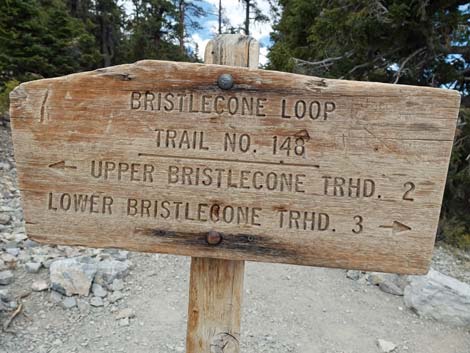 Bristlecone Loop Trail directional sign with distances (view NW) |
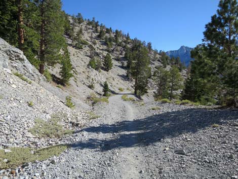
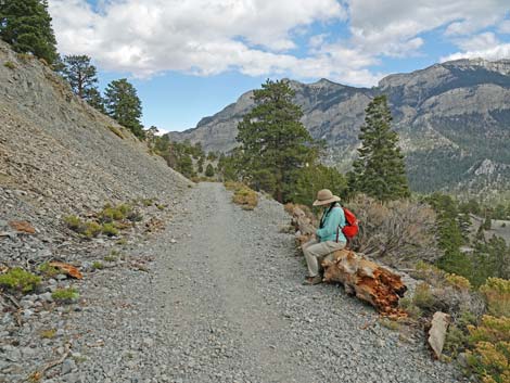
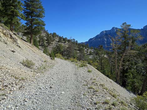
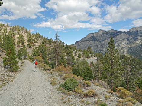
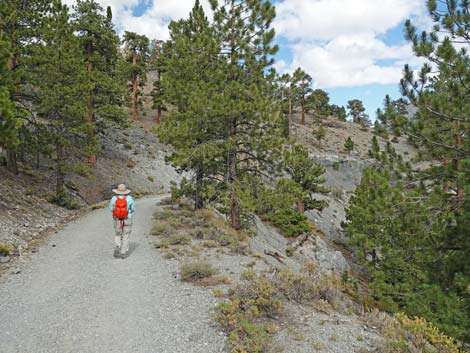
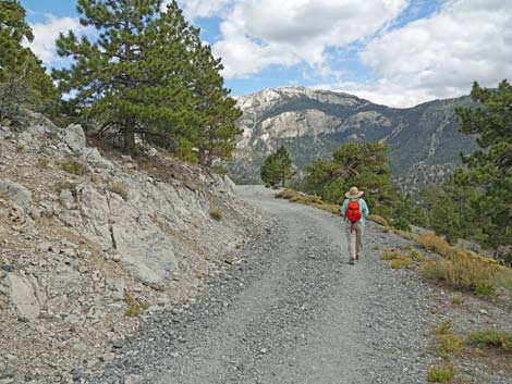
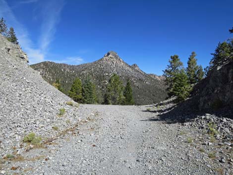
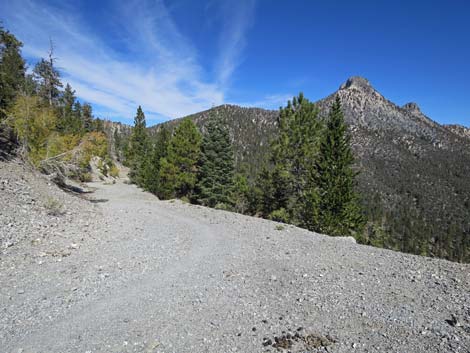
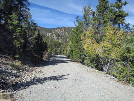
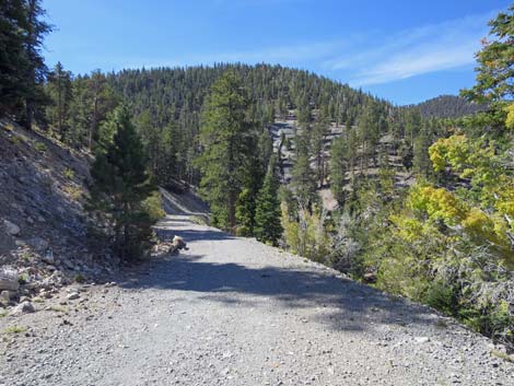
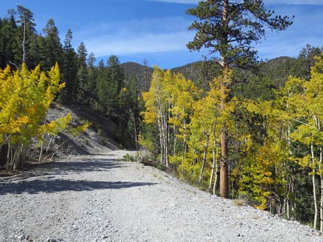
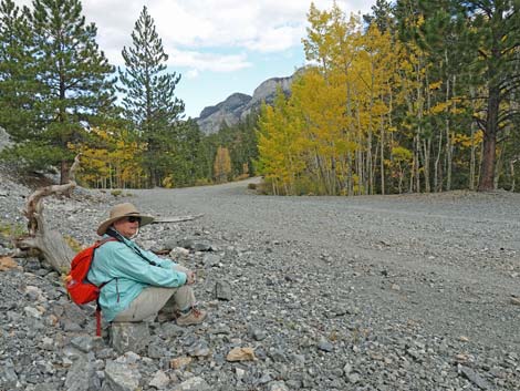
From the Bonanza Trail junction (Wpt. 06), the Bristlecone Trail continues east down Scout Canyon Road (which has been closed to private vehicles for many years). The trail runs east along the sunny, south-facing side of a long ridge with great views east down Lee Canyon and south to the ski slopes and the towering mountains above (Mummy Mountain to the east and Lee Peak to the west). A single convenient log provides a place to sit comfortably and enjoy the scenery, but several large Ponderosa Pines provide plenty of shade. Keep any eye out for Mt. Charleston Purple Sage (another special plant with purple flowers) and other flowering species (e.g., Arizona Skyrocket, Paintbrush, and various sunflower species). The trail winds in and out of several shallow side canyons, and at about 0.99 miles below Bonanza Trail junction, Scout Canyon Road curves left through a road-cut (Wpt. 13) in the ridge. The old road bends back to the northwest while gently dropping into Scout Canyon. |
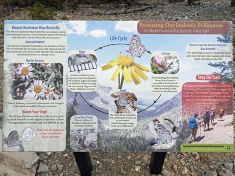 Information sign: Mount Charleston Blue Butterfly (view N) |
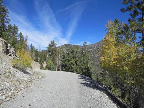
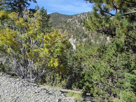
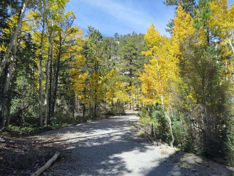
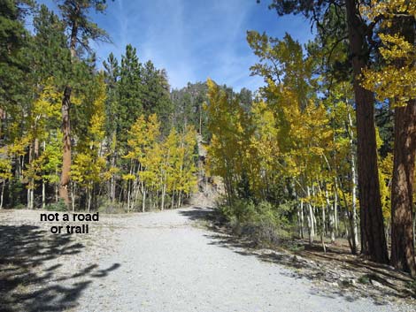
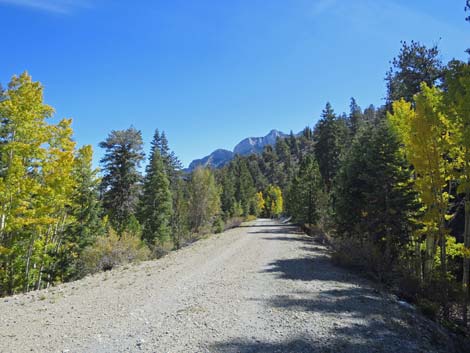
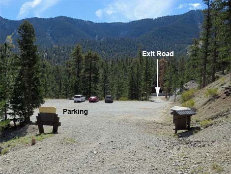
On these shady, north-facing slopes where snow lingers into the spring, the temperature is cooler, and the soil moisture is higher. Hikers will notice more plant species growing in this area. The most noticeable species are the several species of conifers that now grow thickly and the Quaking Aspen. During fall, this can be a beautiful section of trail when the aspens turn yellow and red. In the bottom of the canyon, the trail follows the road around a big hairpin turn (Wpt. 14) to the right and cuts back to the east running across steep sideslopes. Still running in and out of little side canyons, the old road bends more to the south and runs above Lee Meadow before finally arriving at Lower Bristlecone Trailhead (Wpt. 15) and the official end of the Bristlecone Trail. |
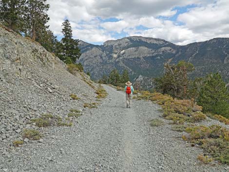
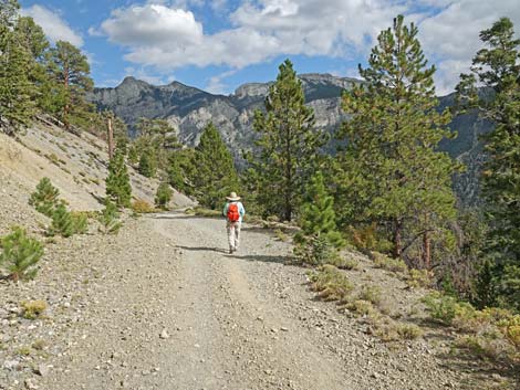
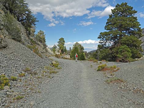
 Hiker departing the Bristlecone-Bonanza trail junction (view E) Hiker departing the Bristlecone-Bonanza trail junction (view E) |
For hikers who started at the Upper Bristlecone Trailhead (Wpt. 01), from Lower Bristlecone Trailhead (Wpt. 15), follow the gravel access road back to the paved Lee Canyon Road (Wpt. 16). Turning right onto the pavement (watch for cars), hikers follow the road all the way to the end of the pavement and Upper Bristlecone Trailhead (Wpt. 01). Alternatively, hikers can short-cut the highway switchbacks by following Lee Canyon Road uphill, then through the round-about at the exit from McWilliams Campground, and up to the first hairpin turn (Wpt. 17) on the road. From the gully at the turn, use-trails climb the steep hillside back to Upper Bristlecone Trailhead (Wpt. 01) arriving in the helicopter landing zone area. |
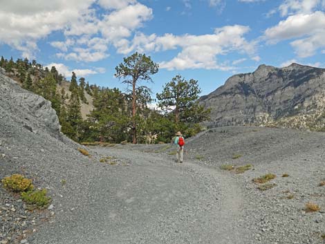
 Scout Canyon Road winds gently down across the hillside (view E) |
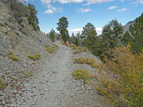
 Lots of Golden Bush on the edge of the trail (view E) |
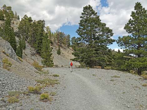
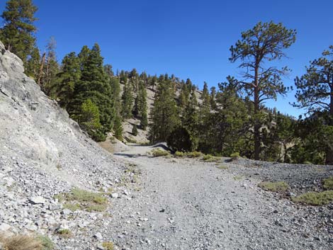
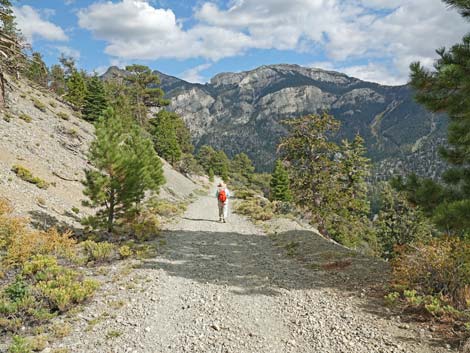
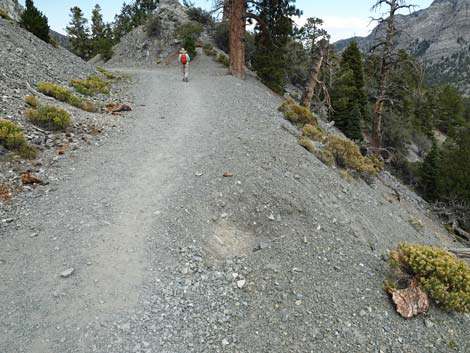
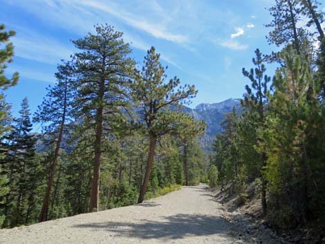
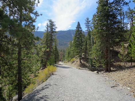
 Bristlecone Trail continues at gentle grades on old road (view E) |
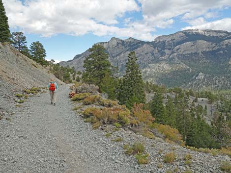
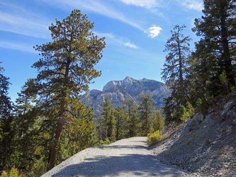
 Open spaces and grand scenery (view E) |
 |
 |
 |
 |
 |
 |
 |
 |
 |
 |
 Lots of white Fir and one towering Ponderosa Pine (view E) |
 Watch for washouts along the edge of the trail (view E) |
 |
 |
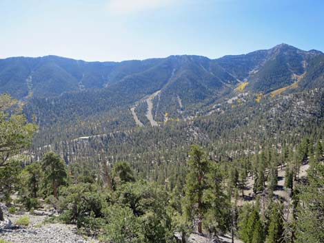 Scars on mountain from Lee Canyon Ski Area (view SE) |
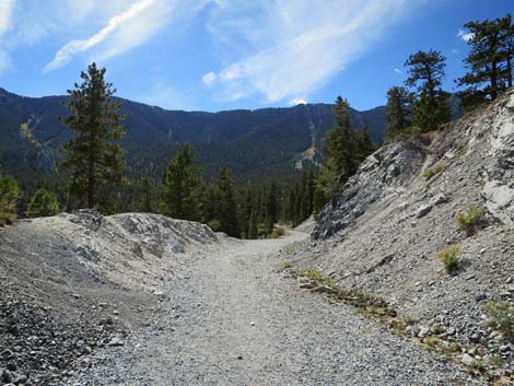
 The old road winds gently down across the hillside (view E) |
 |
 |
 Another washout - not always easy to see (view E) |
 Approaching the road cut (view E) |
 The Sister Peaks framed through the road cut (view NE) |
 Old road turns into Scout Canyon (view N) |
 Winding down into Scout Canyon (view NW) |
 Another nice view of South Sister Peak (view N) |
 Winding down into Scout Canyon (view NW) |
 Winding down into Scout Canyon (view NW) |
 Fall colors and views through the trees (view NW) |
 Winding down into Scout Canyon (view NW) |
 Fall colors in Nevada (view NW) |
 Approaching Scout Canyon Wash, the road bends right (view NW) |
 Almost crossing Scout Canyon Wash, road curves right (view N) |
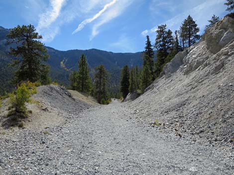
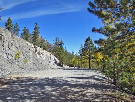 This area was used to supply gravel for road construction |
 Nice seats are few and far between on this trail (view E) |
 Without crossing Scout Canyon Wash, road switches back (view E) |
 Another nice view of South Sister Peak (view N) |
 Winding down the hillside above Scout Canyon Wash (view E) |
 Another nice view of Mummy Mountain (view E) |
 Bristlecone Trail runs rather straight across the hillside (view SE) |
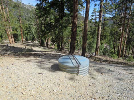 A water control structure on the road edge (view NE) |
 Bristlecone Trail passes through another road cut (view SE) |
 Passing through the road cut (view SE) |
 Gate at end of the road comes into view (view S) |
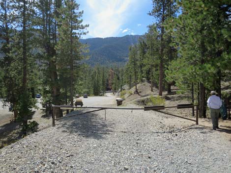 Gate at end of the road (view S) |
 Bristlecone Trail approaching trailhead sign and parking lot (view S) |
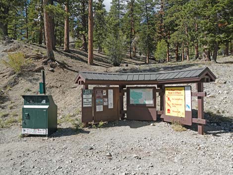 Lower Bristlecone Trailhead info signs (view W) |
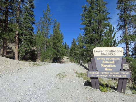 Looking back: Lower Bristlecone Trailhead sign (view N) |
Table 1. Hiking Coordinates Based on GPS Data (NAD27; UTM Zone 11S). Download hiking GPS Waypoints (*.gpx) file.
| Wpt. | Location | UTM Easting | UTM Northing | Elevation (ft) | Point-to-Point Distance (mi) | Cumulative Distance (mi) |
|---|---|---|---|---|---|---|
| 01 | Upper Bristlecone Trailhead | 618755 | 4018565 | 8,690 | 0.00 | 0.00 |
| 02 | Ski Resort Overlook | 618558 | 4018281 | 8,782 | 0.23 | 0.23 |
| 03 | Trail to Ski Shack | 618323 | 4018082 | 8,820 | 0.20 | 0.43 |
| 04 | Small Spring | 618063 | 4017976 | 8,895 | 0.19 | 0.62 |
| 05 | Trail to Camps | 617814 | 4017860 | 8,998 | 0.23 | 0.85 |
| 06 | Old Bristlecone Trail Junction | 617575 | 4017766 | 9,102 | 0.20 | 1.05 |
| 07 | Trail to Highpoint Knob | 617310 | 4018437 | 9,336 | 0.67 | 1.72 |
| 08 | Highpoint Ridge | 617238 | 4018415 | 9,375 | 0.05 | 1.77 |
| 09 | Highest Spot on Trail | 617096 | 4018462 | 9,396 | 0.10 | 1.87 |
| 10 | End of Historical Construction | 616935 | 4018663 | 9,347 | 0.27 | 2.14 |
| 11 | End of Scout Canyon Road | 616946 | 4018721 | 9,345 | 0.03 | 2.17 |
| 12 | Bonanza Trail Junction | 617104 | 4019061 | 9,276 | 0.26 | 2.43 |
| 13 | Big Roadcut | 618381 | 4019418 | 9,075 | 0.99 | 3.42 |
| 14 | Scout Canyon Road Hairpin Turn | 617435 | 4019696 | 8,867 | 0.80 | 4.22 |
| 15 | Lower Bristlecone Trailhead | 618806 | 4019182 | 8,479 | 1.17 | 5.39 |
| . | . | . | . | . | . | . |
| . | Return Via Use-Trail | . | . | . | . | . |
| 15 | Lower Bristlecone Trailhead | 618806 | 4019182 | 8,479 | . | 5.39 |
| 16 | Lee Canyon Road | 618829 | 4019054 | 8,468 | 0.08 | 5.47 |
| 17 | Use-Trail to Upper Trailhead | 618631 | 4018632 | 8,548 | 0.31 | 5.78 |
| 01 | Upper Bristlecone Trailhead | 618755 | 4018565 | 8,690 | 0.11 | 5.89 |
| . | . | . | . | . | . | . |
| . | Return Via Lee Canyon Road | . | . | . | . | . |
| 15 | Lower Bristlecone Trailhead | 618806 | 4019182 | 8,479 | 5.39 | |
| 16 | Lee Canyon Road | 618829 | 4019054 | 8,468 | 0.08 | 5.47 |
| 17 | Use-Trail to Upper Trailhead | 618631 | 4018632 | 8,548 | 0.30 | 5.77 |
| 01 | Upper Bristlecone Trailhead | 618755 | 4018565 | 8,690 | 0.52 | 6.29 |
Happy Hiking! All distances, elevations, and other facts are approximate.
![]() ; Last updated 240329
; Last updated 240329
| Hiking Around Mt Charleston | Hiking Around Las Vegas | Glossary | Copyright, Conditions, Disclaimer | Home |