(Upper Bristlecone Trailhead to Bonanza Trail Junction)
Hiking Around Las Vegas, Spring Mountains (Mt. Charleston), Lee Canyon
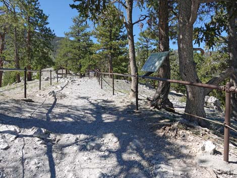
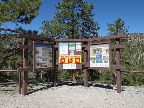
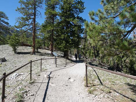
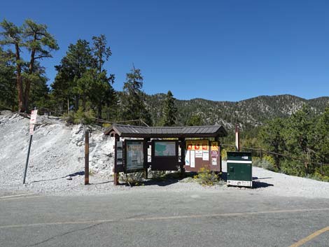 Upper trailhead information signs (view W) |
Note, May 2025: This trail is closed due to damage from the 2023 hurricane, and the US Forest Service expects it to remain closed until 2029. Overview The Bristlecone Loop Trail is a delightful, moderately strenuous 6-mile hike that can be done in either direction. Starting from the end of Lee Canyon Road (Upper Bristlecone Trailhead) or from near McWilliams Campground (Lower Bristlecone Trailhead), the trail winds around the upper reaches of Lee Canyon passing through Pine-Fir Forests, groves of Quaking Aspen, a Bristlecone Pine forest, and open sunny slopes with big views. There are great views of the surrounding mountain peaks, the ski area, and down Lee Canyon. Hiking the entire loop requires walking about 1 mile on Lee Canyon Road to close the loop, but steep use-trails can be used to short-cut the highway switchbacks. Here, the loop is described in the clockwise direction: hiking from the upper trailhead to the lower trailhead, then hiking back to the upper trailhead. For hiking in the other direction, see Bristlecone Trail Loop (Counter-Clockwise). Link to trail map. |
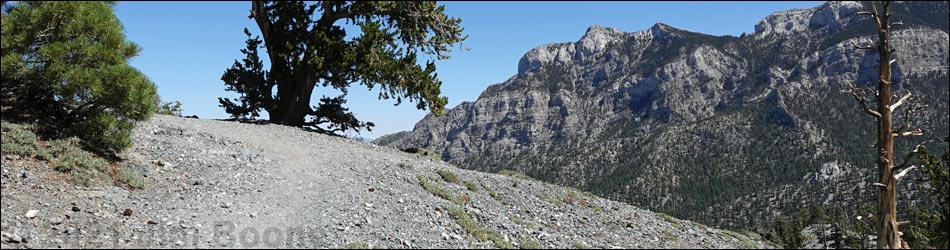
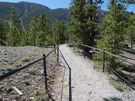
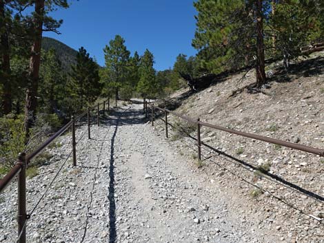
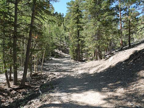
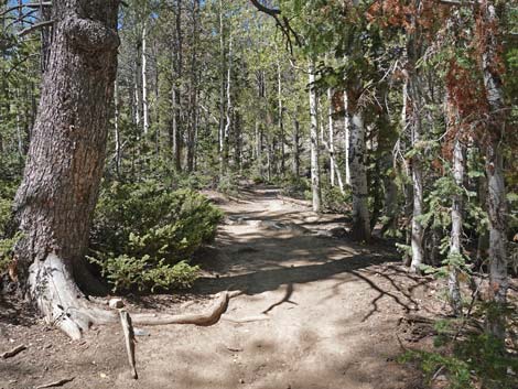
 Upper Bristlecone Trailhead (view SW) |
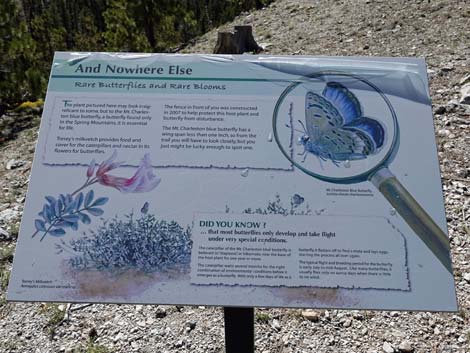
The first 1/4-mile of trail is fenced to protect rare plants and the rare butterfly species that feeds only on these plants. The plants only grow here and in a few other places on Mt. Charleston. Please respect the fence, stay on the trail, and help protect our rare species. All of the higher-elevation conifer species in southern Nevada can be seen on this trail. Ponderosa Pine, White Fir, Bristlecone Pine, and Common Juniper are common, and a few Rocky Mountain Juniper and Limber Pine are mixed in. For people who just want to see Bristlecone Pines, there are several at the upper trailhead, but the twisted ones are on Highpoint Ridge (some twisted Limber Pines too). At the trailhead, the second and fourth trees on the right side of the trail are Bristlecone Pines, and from the end of the pavement, several more can be seen a few yards out at eye level. Keep an eye out for Mount Charleston Chipmunks too, they live in the Spring Mountains and nowhere else, but don't confuse them with the more common Golden-mantled Ground Squirrels (tip: look for stripes on the face). A good, short trip (about 3 miles total) is to hike from Upper Trailhead to Highpoint Ridge at the top of the loop, then back to the Upper Trailhead. |
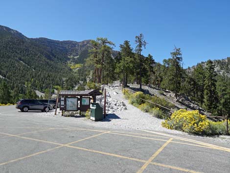
 Trail starts behind the information kiosk (view SW) |
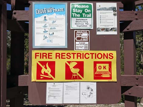
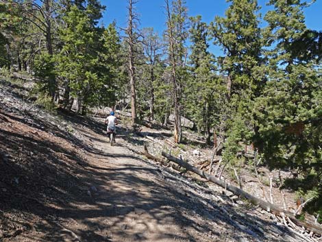
Watch Out Other than the standard warnings about hiking in the desert, ... this is a relatively safe hike. However, this is the only loop trail located entirely outside the Mt. Charleston Wilderness Area, so it is open to mountain bikes, and hikers need to watch for bikers careening down the trail. There are some rocky spots near the top of the loop where a slip could prove hazardous, but they pass quickly. These areas are especially dangerous during winter when deep snow settles on the steep, north-facing slopes. The trail is moderately strenuous, so take it easy at this elevation if you've just come up from the desert. This hike might be a little long, but otherwise is fine for kids. While hiking, please respect the land and the other people out there, and try to Leave No Trace of your passage. Although this hike isn't too long, be sure to bring what you need of the 10 Essentials. There is not cell service in Lee Canyon. |
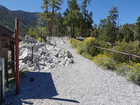
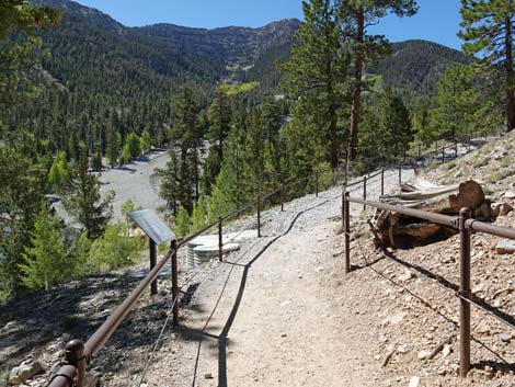
 Approaching first information sign along the trail (view SW) |
Getting to the Trailhead The trailhead is located up in the Spring Mountains National Recreation Area (generally referred to as Mt. Charleston) in Lee Canyon, about 50 minutes northwest of Las Vegas. From town, drive out Lee Canyon Road to the Lower Bristlecone Trailhead or the Upper Bristlecone Trailhead. The upper trailhead is located past the ski area at the very end of Lee Canyon Road. The lower trailhead is located about 1 mile before the end of the road, just before McWilliams Campground. Even though the lower trailhead is about 200 feet lower in elevation, starting the loop hike there might be easier because most of the elevation gain is made on the gentle grade of an old road. Then, when hikers get to the Upper Trailhead, they can walk down the paved road (or take a short-cut down the steep hill below the helicopter landing zone) to the lower trailhead. These trailheads also provide access to Old Bristlecone Trail and Bonanza Trail, which intersect the Bristlecone Trail. |
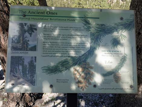 Information sign: The Ancient Ones (Bristlecone Pines; view NW) |
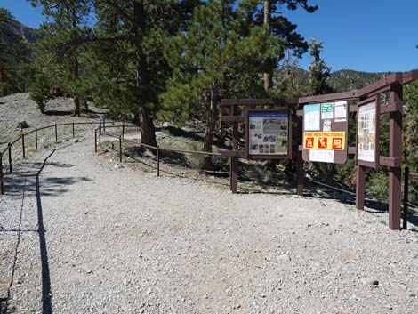
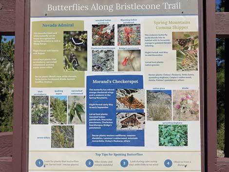
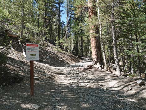
The Hike From Upper Bristlecone Trailhead (Table 1, Waypoint 01), the fenced trail runs up the little ridge above the paved parking area back towards the ski resort. Only a few yards out, the trail arrives at the first of several information signs. This one, at the first group of trees on the right edge of the trail, describes Bristlecone Pine trees. There are two such trees at the sign (look for short needles arranged like a bottlebrush around the branchlets). The trail continues inside the fence and soon arrives at a 3-panel information kiosk. The kiosk provides information about local butterflies and regulations that hikers and campers need to know. Not far up the trail, another information sign describes the rare Mount Charleston Blue Butterfly that lives on these dry, forested slopes. |
 Fence keeps humans on the trail to protect butterfly habitat |
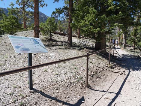
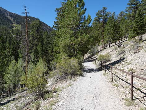
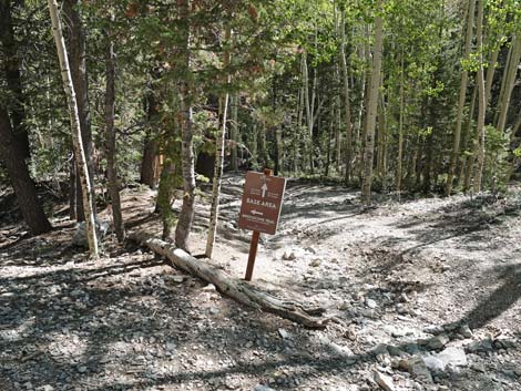
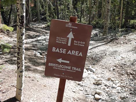
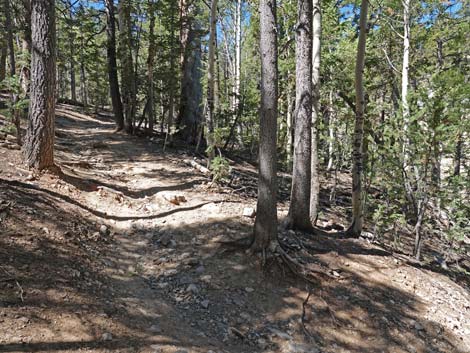
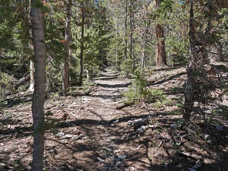
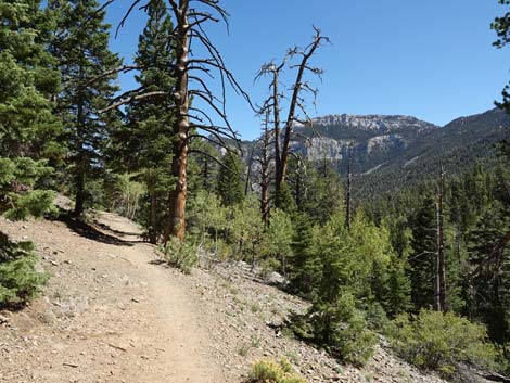
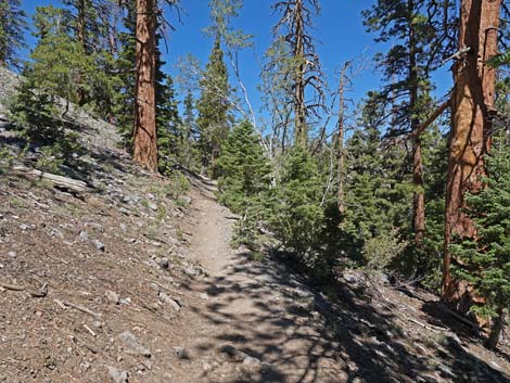
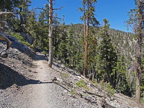
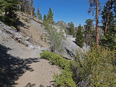
The trail angles a bit away from the paved road, and hikers briefly have a few minutes of a more-quiet experience as they amble along beneath tall Ponderosa Pines and singing birds. Soon however, at about 1/4-miles out, the trail arrives at an overlook (Wpt. 02) above the noisy ski area. Here, another sign provides information about habitat restoration and rare plants. For hikers just wanting a brief, but pleasant stroll in the pine woods, this is a good place to turn around. The trail bends right, more to the west, and starts up Lee Canyon beneath a mixed forest consisting of Ponderosa Pine, White Fir, Limber Pine, and Quaking Aspen. At knee level, Common Juniper is common too. At about 0.43 miles out, the trail arrives at Lee Canyon Wash (Wpt. 03). Here, a ski-area sign directs hikers and skiers down the wash to the ski resort where food, drink, and ice cream are available during winter and on summer weekends. Continuing up Lee Canyon Wash, hikers encounter some multiple trailing. All trails, however, lead up the wash and soon rejoin. |
 Bristlecone trail approaching information kiosk (view SW) |
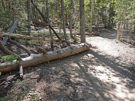
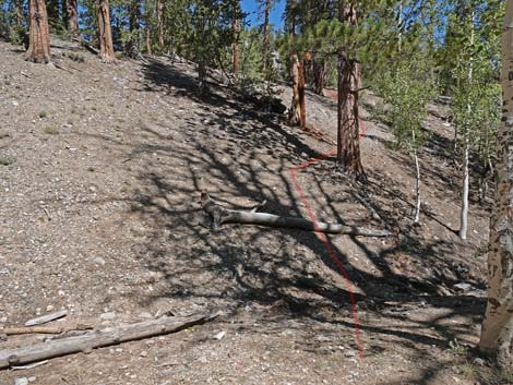
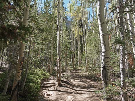
At about 0.62 miles out, the trail passes a small spring (Wpt. 04) on the south side of the trail. During wet years, water at the spring attracts many birds because this is the only flowing water in the area. In recent years, however, the spring has gone dry late in the summer. With climate change, this spring might be a thing of the past. About 30 yards past the spring, the trail climbs two short switchbacks onto the south hillside before continuing up the canyon. The trail passes through aspen groves with a low-growing species of juniper (Common Juniper) that carpets the ground in places. Although Common Juniper seems "common" here, it is actually uncommon in southern Nevada. Common Juniper is a northern species, and some reference maps don't even show it in southern Nevada. When the canyon starts to widen in a nice aspen grove, a big log on the left provides a comfortable place to sit and for a few minutes while experiencing the sights and sounds of the forest. |
 Hiker and habitat information kiosk (view NW) |
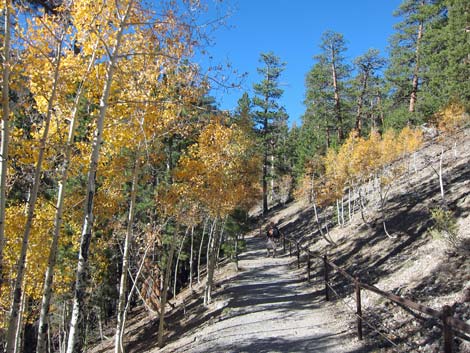
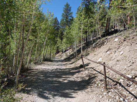
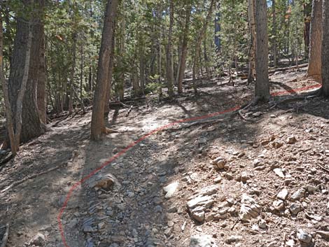
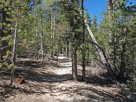
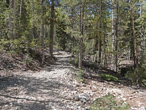
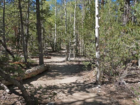
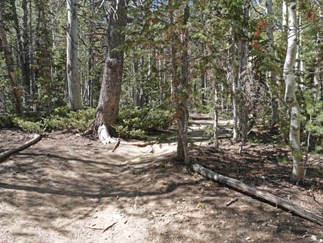
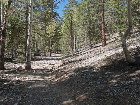
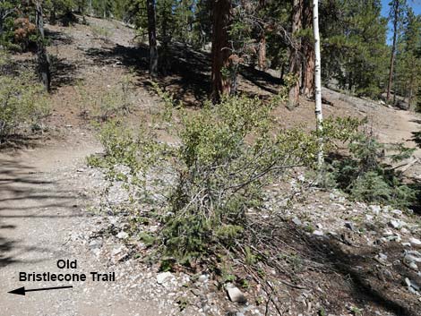
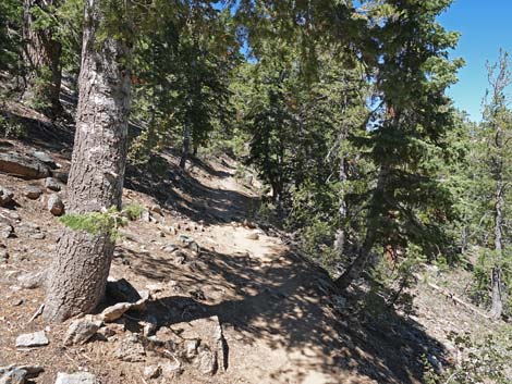
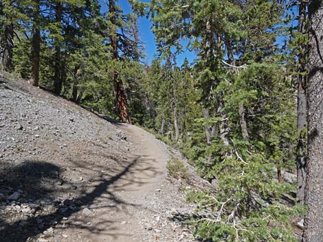
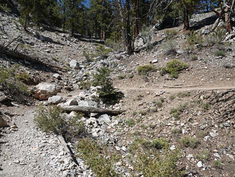
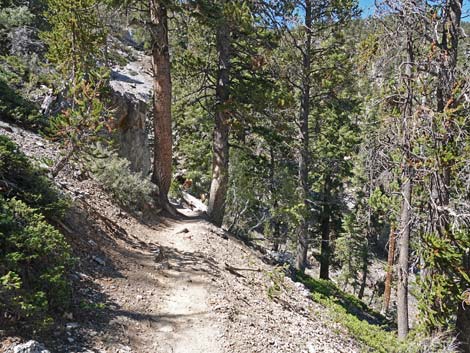
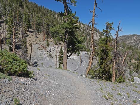
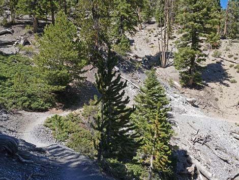
Continuing up the trail, at about 0.89 miles out, use-trails (Wpt. 05) begin to cross the wash to the right and climb the hillside heading towards backpacker campsites on the low hilltop. This is a good spot for a picnic too. There are also some flat areas in the canyon bottom that would make suitable campsites too. The trail generally runs west, southwest through an open area full of quaking aspen that are beautiful in the fall. At about 1.05 miles out, the trail bends to the right and begins to cross Lee Canyon Wash to the north. At the wash crossing (Wpt. 06), Old Bristlecone Trail forks to the left (actually making a triangular intersection) and heads west staying in the bottom of the wash. This trail can be used to make a longer and harder loop that eventually connects with the Bonanza Trail and returns to the Bristlecone Trail a couple of miles ahead. After departing Lee Canyon Wash for the last time, the Bristlecone Trail angles up across the dry, pine-fir forested slope generally heading northwest. Ponderosa Pine and White Fir in this area provide ample shade along the trail, but there is only one convenient sitting log in this area. |
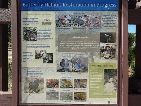 Information about butterfly habitat restoration |
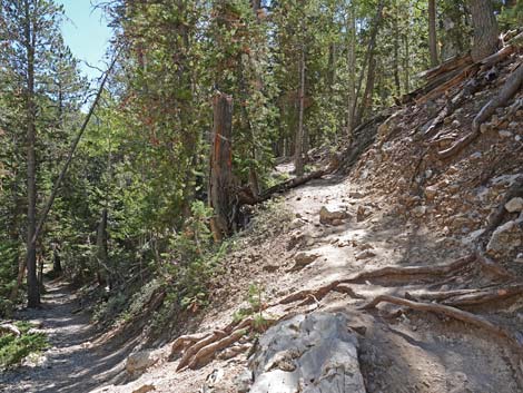
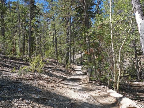
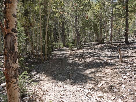
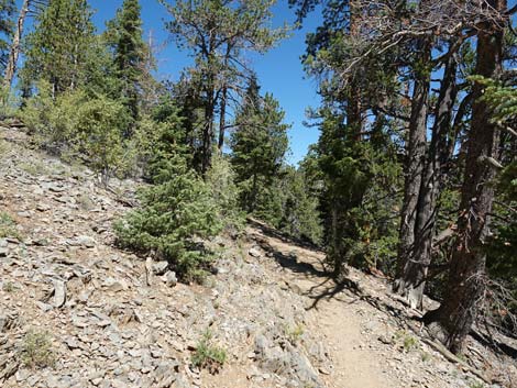
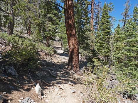
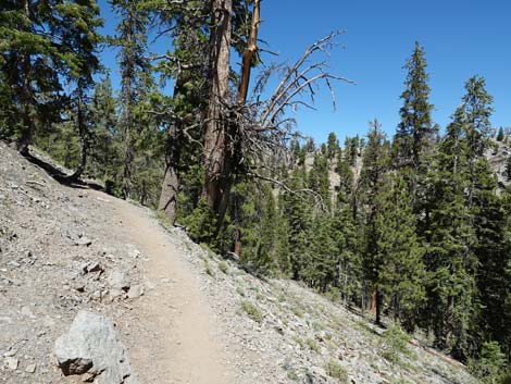
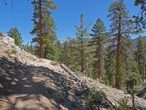
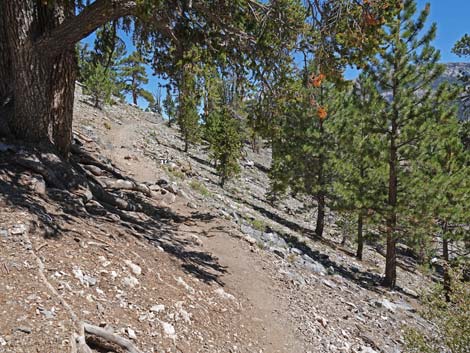
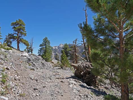
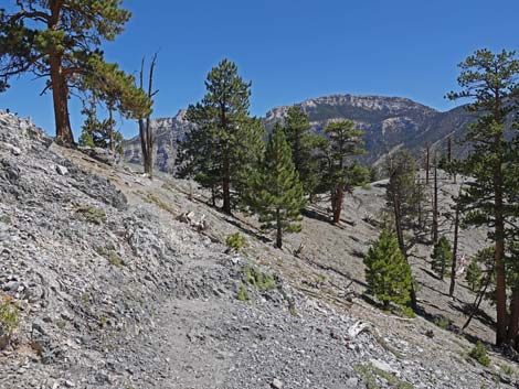
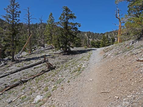
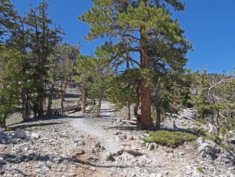
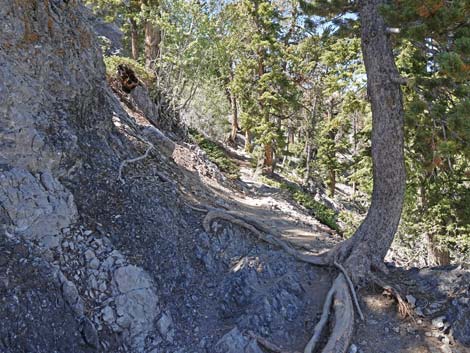
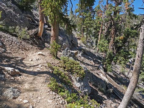
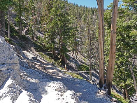
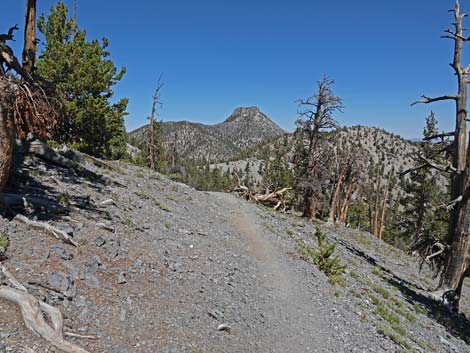
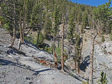
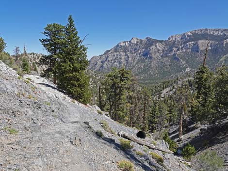
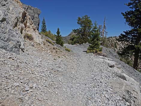
Beyond the sitting log, the grade of the trail increases, although it is never particularly steep, and ample shade begins to be provided by tall, straight Bristlecone Pine trees. The trail winds somewhat steeply around two side canyons and then angles up across the steep, rocky hillside heading northeast as it climbs towards a rocky ridgeline. The hillside is steep, making this a good place to watch for tree-top birds, which can be seen at eye-level. The trail climbs towards the rocky ridgeline, but upon reaching it, switchbacks back along the steep hillside heading west. The tip of the switchback provides great views to the east and is a good place to stop and rest for a minute. Now generally heading west, the trail soon passes beneath an enormous Ponderosa Pine and climbs onto the edge of Highpoint Ridge at 9,335 ft elevation. |
 Hiker and trail-use information |
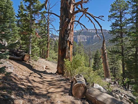
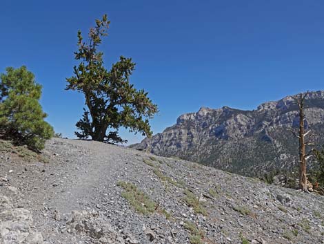
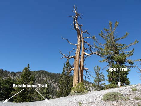
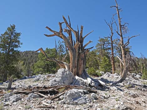
Upon reaching Highpoint Ridge, a spur trail (Wpt. 07) forks hard to the right and climbs 35 steep yards to a rocky knob (9,360 ft elevation) with great views of the surrounding mountains. Although the views to the north, east, and south are grand, better shade and better sitting rocks can be found a few yards further up the main Bristlecone Trail. Back on the main trail atop Highpoint Ridge (Wpt. 08; 9,360 ft elevation), hikers are invited to sit in the shade, eat lunch, and experience an open forest of starkly beautiful, ancient Bristlecone Pines. Many of the trees here are the twisted and tortured carcasses of ancient trees, and this provides perhaps the easiest place to photograph such trees in the Spring Mountains. More photogenic examples can be found higher in the mountains, but these are fairly easy to access. While exploring this area off-trail, be careful and try not to trample the belly flowers. Also note that some of the ancient twisted trees here are actually Limber Pine rather than Bristlecone. |
 Information about native butterflies in the area |
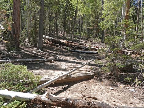
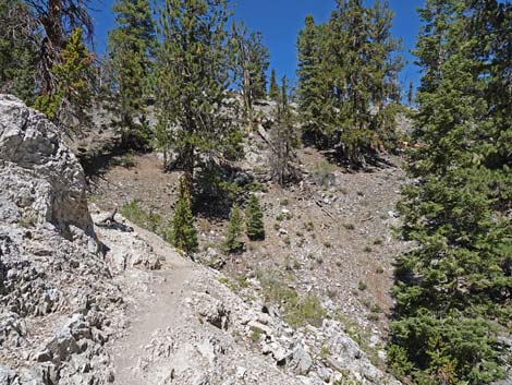
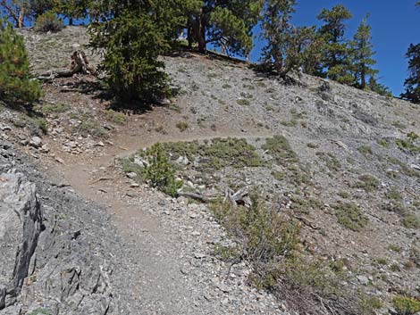
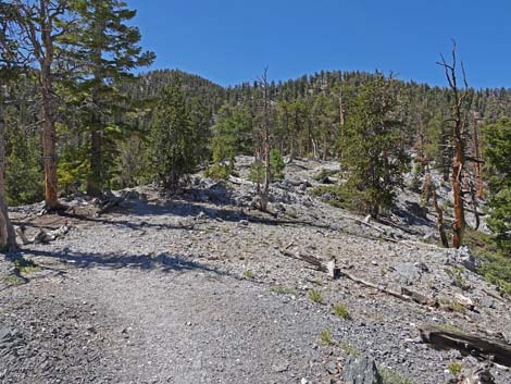
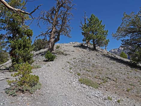
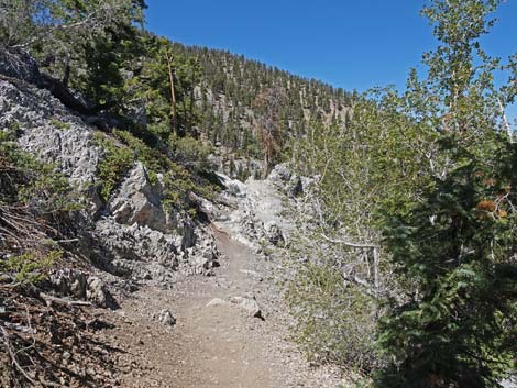
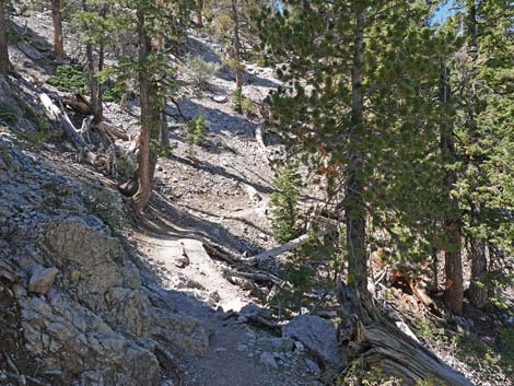
Following Highpoint Ridge west, the trail contours off onto the steep north side of Highpoint Ridge. The trail climbs at gentle grades to a rocky point (Wpt. 09), which at 9,400 ft, is highest point on the trail. There are some narrow sections of trail on this slope, so keep an eye on the kids. The trail winds in and out of the little side canyons generally heading northwest for about 1/4 miles to the back of McWilliams Canyon. Still winding in and out of little side canyons and crossing steep rocky slopes, the trail now generally runs northeast and begins to descend. After hiking in wooded wilderness for some 2 miles, hikers suddenly find themselves in an area (Wpt. 10) that seems to have been worked by construction equipment, and there is even an old culvert lying in the gully below the trail. The trail then rounds a corner to the left, drops a bit, and encounters the end of Scout Canyon Road (Wpt. 11), the old road that comes up from McWilliams Campground. |
 Fence keeps humans on the trail to protect butterfly habitat |
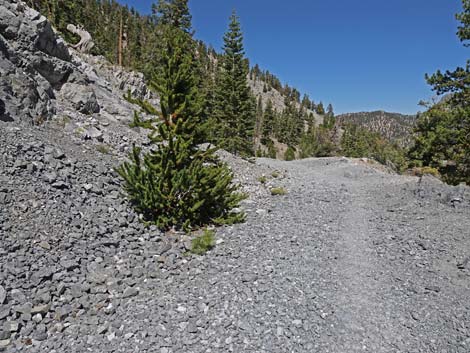
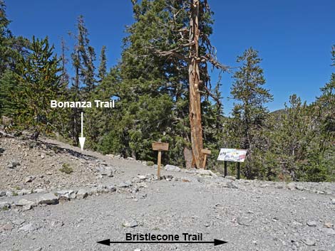
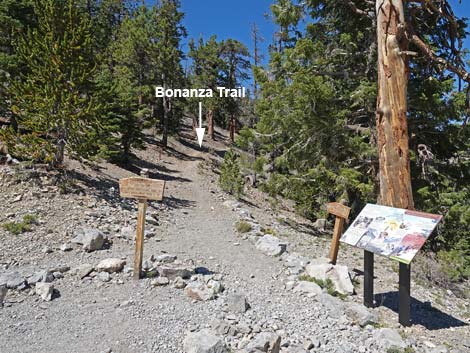
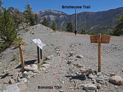
The abrupt start of the road seems odd at first, but history explains it. In 1940, the Works Progress Administration (known as the WPA), one of the government-funded public works programs that put people to work during the Great Depression, was building a logging and fire road over the mountains to Pahrump. In 1942, however, World War II began, and the project was abruptly halted when the workers were reassigned to support the war effort. Continuing north on the old road, at about 2.43 miles out, the Bristlecone Trail arrives at an intersection with the Bonanza Trail (Wpt. 12), on the left. The Bonanza Trail switchbacks up the ridge to the crest of the Spring Mountains, and then and heads north for about 12 miles to the old Bonanza Boy Scout Camp above the town of Cold Creek. The trail junction is marked by two wooden directional signs and an information sign about rare butterflies. For details of the rest of the hike, see Bristlecone Trail Loop (Clockwise, Segment 2). The following is a synopsis of the remaining hike. |
 Bristlecone Trail at second information sign (view SW) |
From the trail junction, the Bristlecone Trail continues east down Scout Canyon Road (Wpt. 13; Wpt. 14) for about 3 miles to Lower Bristlecone Trailhead (Wpt. 15) and the official end of the Bristlecone Trail. From the Lower Bristlecone Trailhead, hikers can follow the gravel access road back to Lee Canyon Road (Wpt. 16). Turning right onto the pavement (watch for cars), hikers can follow the road all the way back to Upper Bristlecone Trailhead (Wpt. 01) at the end of the road. Alternatively, hikers can follow Lee Canyon Road uphill around the round-about at the exit from McWilliams Campground to the next hairpin turn (Wpt. 17). From there, use-trails climb the steep hillside back to Upper Bristlecone Trailhead (Wpt. 01) arriving in the helicopter landing zone area. |
 Second information sign: And Nowhere Else (view S) |
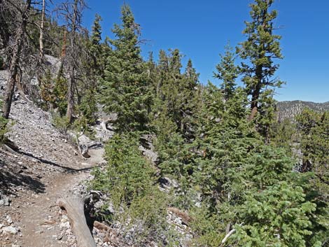
 Lots of tall Ponderosa Pine in this area (view SW) |
 The butterfly-food plants like open areas (view W) |
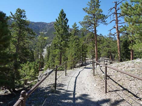 Bristlecone Trail (view SW) |
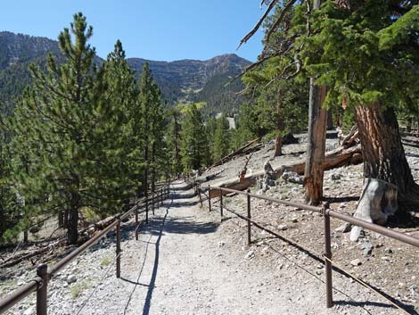 Bristlecone Trail (view SW) |
 Bristlecone Trail approaching view of ski area and information sign |
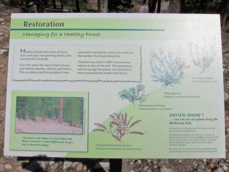 Information sign: Restoration for rare plants and butterflies |
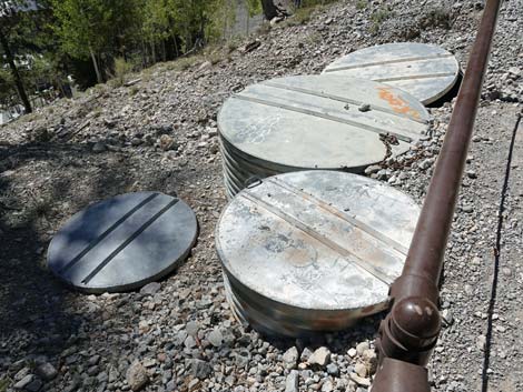 Part of the local water delivery system just outside the fence |
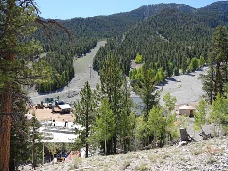 Lee Canyon Ski Resort area (view S From Bristlecone Trail) |
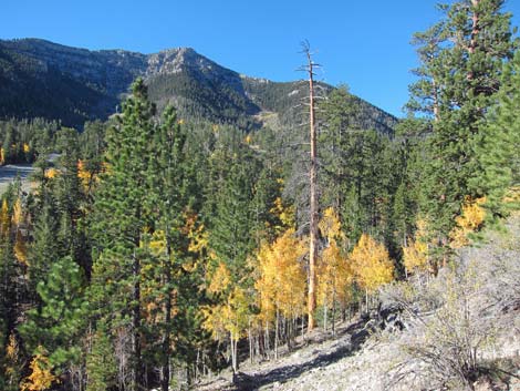 Quaking Aspen provide festive color during fall (view SW) |
 Fence along trail to prevent habitat trampling |
 Fence ends along the left side of the trail (view SW) |
 More Quaking Aspen providing festive color during fall (view SW) |
 Fence ends along the right side of the trail (view SW) |
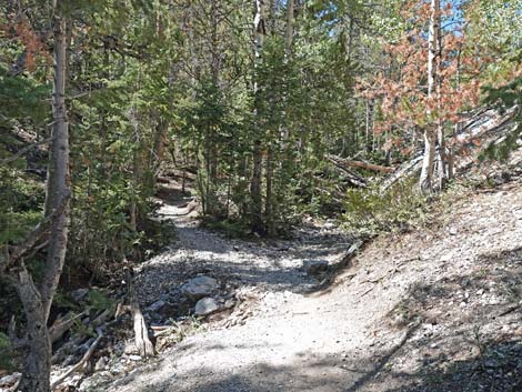
 Trail crosses Lee Canyon Wash (view SW) |
 Sign at edge of Lee Canyon wash (view SE) |
 Sign directs winter skiers to the Lee Canyon Ski Resort (view SE) |
 Across Lee Canyon Wash, a warning sign (view SW) |
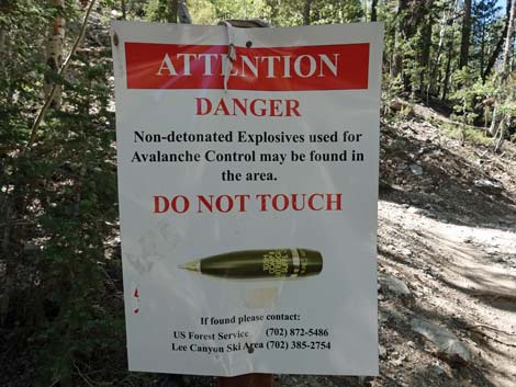 Watch for unexploded projectiles used at the ski resort (view S) |
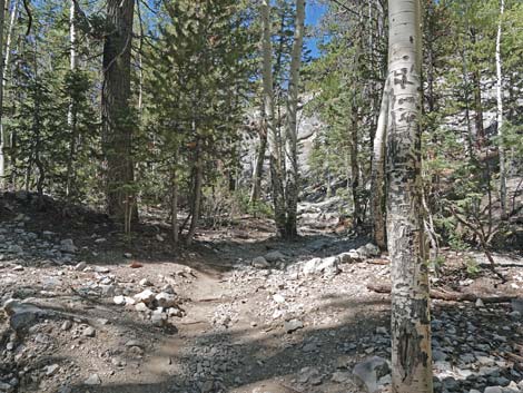 Bristlecone Trail continues up Lee Canyon Wash (view W) |
 Multiple trailing in Lee Canyon Wash (view W) |
 Multiple trails soon merge into one trail (view W) |
 Bristlecone Trail crosses to south side of Lee Canyon Wash (view W) |
 Lots of Common Juniper growing along Lee Canyon Wash (view W) |
 Lots of trees in this area (view W) |
 Bristlecone Trail approaching a switchback (view W) |
 Bristlecone Trail switches back up the hillside (view SE) |
 Turning the second (last) switchback (view SE) |
 Bristlecone Trail continues across hillside above the wash (view W) |
 White Fir mix with Ponderosa and Limber pines (view W) |
 The trail drifts back towards Lee Canyon wash (view W) |
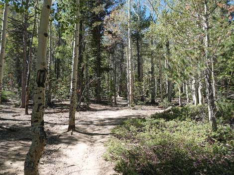
 Bristlecone Trail winds through the forest (view W) |
 Bristlecone Trail approaching a nice log to sit on (view W) |
 Only a few logs along the trail invite hikers to sit and relax (view W) |
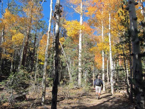 More Quaking Aspen providing festive color during fall (view W) |
 The Aspen area provides a few camping spots (view SW) |
 More potential campsites (view SW) |
 Quaking Aspen provides bright green color during summer (view W) |
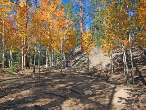 More Quaking Aspen providing festive color during fall (view W) |
 A use-trail departs to a picnic spot (view N from Bristlecone Trail) |
 Common Juniper and Limber Pine along the trail (view W) |
 This area feels like a deep, dark woods during summer (view W) |
 Common Juniper and White Fir along the trail (view W) |
 Little is left of Lee Canyon Wash here at the headwaters (view W) |
 Bristlecone Trail continues up Lee Canyon Wash (view W) |
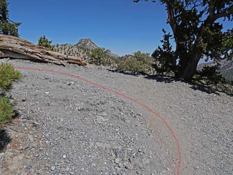
 Bristlecone trail starts curving to the right (view NW) |
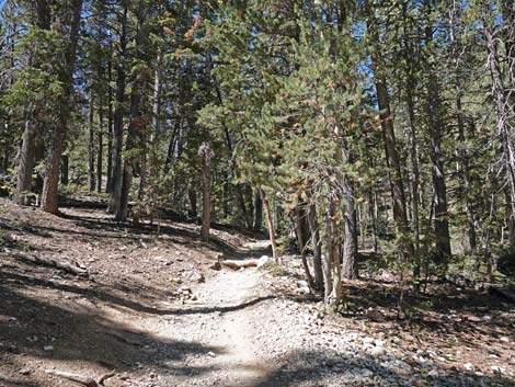 Bristlecone Trail continues curving to the right (view NW) |
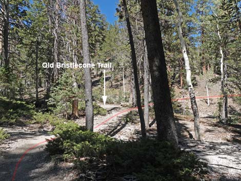 Bristlecone Trail approaching Old Bristlecone Trail junction (view NW) |
 Hiker turning left onto Old Bristlecone Trail (view NW) |
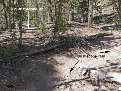 Old Bristlecone Trail (view W from Bristlecone Trail) |
 Old Bristlecone Trail (view W from Bristlecone Trail) |
 Bristlecone Trail passing Old Bristlecone Trail (view N) |
 Bristlecone Trail departing Lee Canyon Wash (view NE) |
 Bristlecone Trail now traverses sunny hillsides (view NE) |
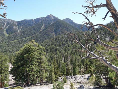
 West face of Mummy Mountain (view E from Bristlecone Trail) |
 Open, rocky hillsides with conifers (view N) |
 Bristlecone Trail passing White Fir trees (view NE) |
 Bristlecone Trail passing White Fir and Ponderosa Pine (view NE) |
 Lots of Ponderosa Pine on these dry hillsides (view NE) |
 Lots of White Fir on these dry hillsides too (view NE) |
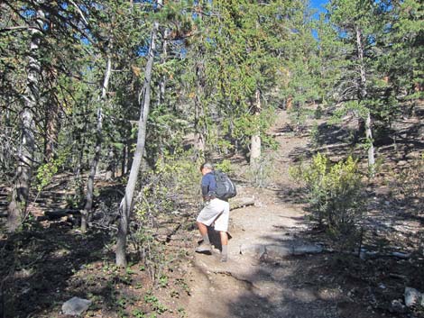
 Always watch for bicycle riders on Bristlecone Trail (view NW) |
 More sunny, dry hillsides (view NW) |
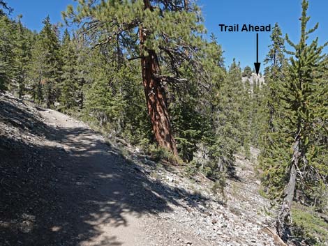 Trail ahead can be seen (view N from Bristlecone Trail) |
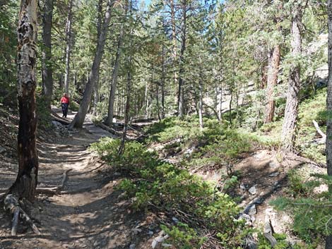
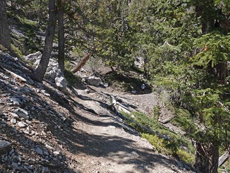
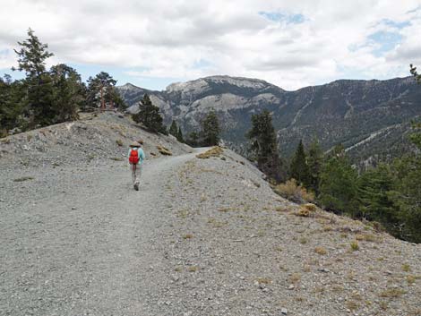
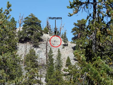 Hikers on the trail ahead (view N from Bristlecone Trail) |
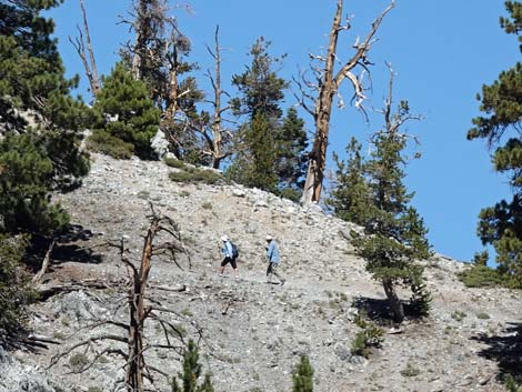 Hikers on the trail ahead (zoom-view N from Bristlecone Trail) |
 More sunny, dry hillsides (view NW) |
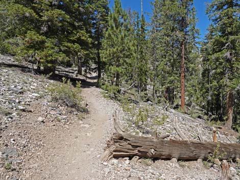
 A log in the shade provides a nice place to sit and relax (view NW) |
 In this area, the grade begins to increase (view NW) |
 The trail climbs somewhat steeply into a side canyon (view NW) |
 Bristlecone Trail crossing the side canyon (view N) |
 Bristlecone Trail exiting the side canyon (view E) |
 Bristlecone Trail passing a big Ponderosa at a moderate grade (view N) |
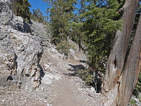
 Bristlecone Trail climbing around a rocky outcrop (view N) |
 Bristlecone Trail winding into the last side canyon (view NW) |
 Bristlecone Trail passing another large Ponderosa Pine (view NE) |
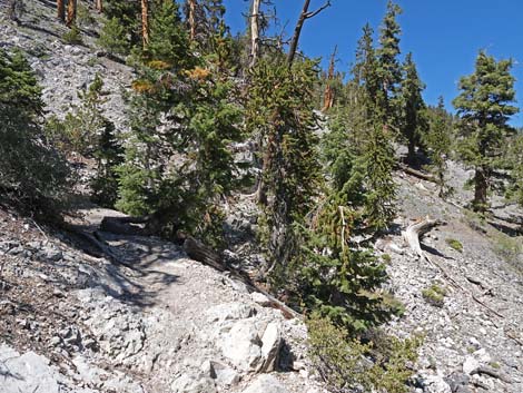
 Bristlecone Trail passing under a large Bristlecone Pine (view NE) |
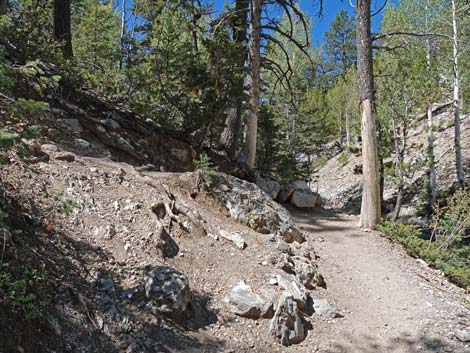
 Bristlecone Trail traversing rocky hillside (view NE) |
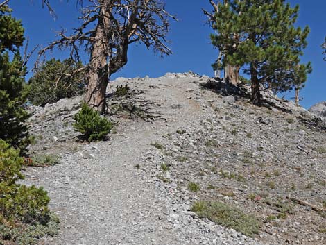
 Bristlecone Trail climbing steeply towards a ridgeline (view N) |
 Bristlecone Trail traversing more rocky hillsides (view E) |
 Bristlecone trail approaching the crest of the ridge (view E) |
 The trail switchbacks onto the crest of the Ridge (view NE) |
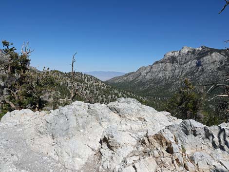
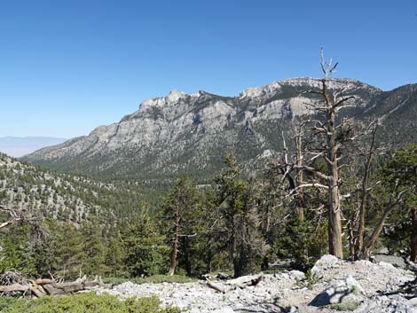
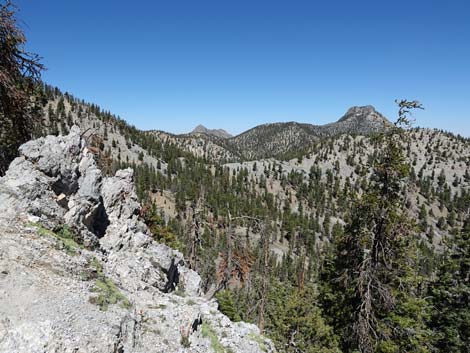
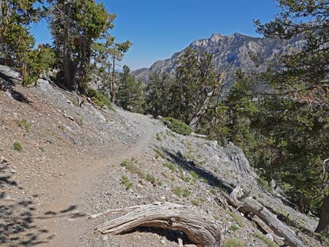
 South Sister Peak (view NE from switchback) |
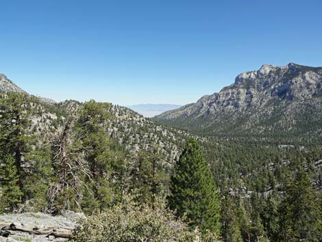 Lee Canyon and Sheep Range in the distance (view E) |
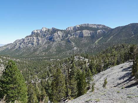 West Face of Mummy Mountain (view E from switchback) |
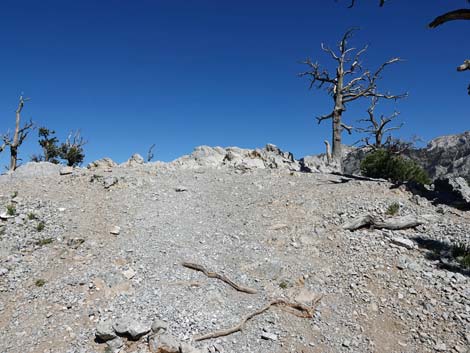
 The trail switchbacks onto the crest of the Ridge (view W) |
 Bristlecone Trail arriving at Highpoint Ridge (view W) |
 Bristlecone Trail at Highpoint Ridge (view W) |
 At Highpoint, ancient and younger Bristlecone Pine (view N) |
 Bristlecone Trail at a spur trail to a low peaklet with a view (view N) |
 A spur trail detour to a low peaklet with a view (view E) |
 Spur trail detour to low peaklet with a view (view E) |
 Spur trail detour approaching peaklet with a view (view E) |
 Spur trail detour arriving atop peaklet with a view (view E) |
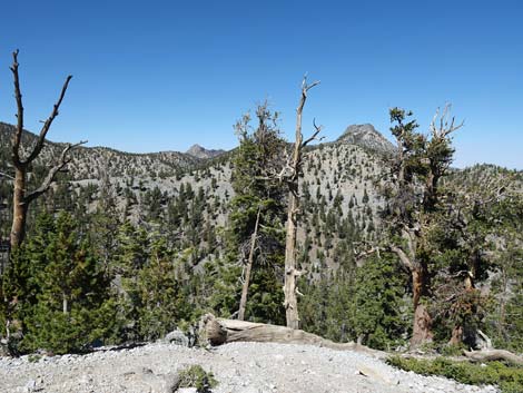 South Sister Peak visible through the Bristlecone Pine (view NE) |
 West Face of Mummy Mountain (view E) |
 North Face of Lee Peak (view S) |
 Spur trail departing the peaklet with a view (view E) |
 Spur trail returning to Bristlecone Trail (view E) |
 Bristlecone Trail continues along Highpoint Ridge (view W) |
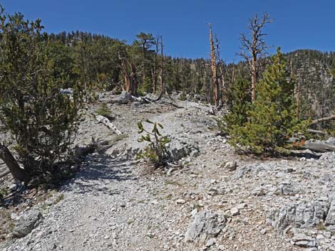
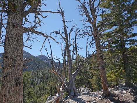 Living and dead conifers along Highpoint Ridge (view S) |
 Conifer carcasses along Highpoint Ridge (view SW) |
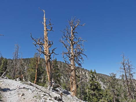 Conifer carcasses along Highpoint Ridge (view NW) |
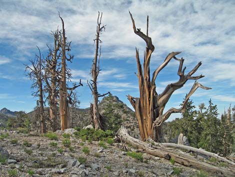 Conifer carcasses along Highpoint Ridge (view N) |
 Tall Ponderosa Pine along Highpoint Ridge (view NW) |
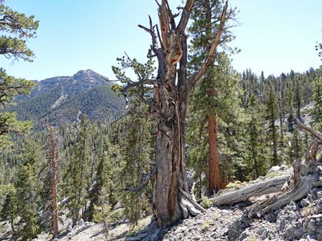 Surprisingly, an ancient, twisted Limber Pine (view S) |
 Bristlecone Trail crosses onto north side of Highpoint Ridge (view W) |
 Bristlecone Trail traverses north side of Highpoint Ridge (view W) |
 There are some narrow spots along the steep hillside (view W) |
 Narrow trail on steep hillside (view NW) |
 Bristlecone Trail approaching a rocky corner (view N) |
 Big view from rocky corner; highest point on the trail (view NE) |
 Bristlecone Trail turns the rocky corner (view NW) |
 These narrow spots can be dangerous when icy during winter |
 These rocky spots can be dangerous when icy during winter |
 Bristlecone Trail traverses steep hillsides (view N) |
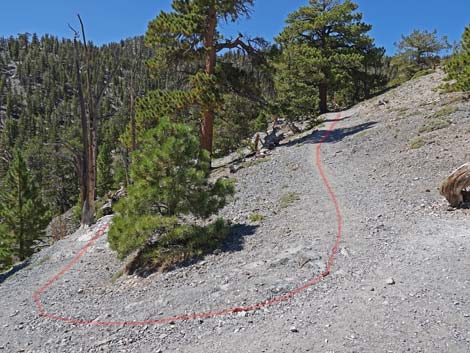
 Bristlecone Trail turning into a side canyon (view NW) |
 Bristlecone Trail in side canyon (view NW) |
 Bristlecone Trail turning out of side canyon (view N) |
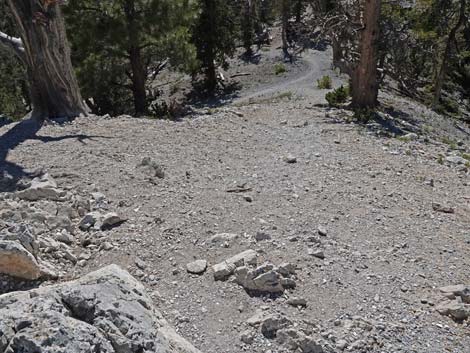
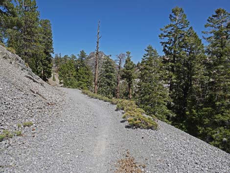
 Bristlecone Trail traversing dry, rocky hillside (view N) |
 Bristlecone Trail traversing dry, rocky hillside (view N) |
 Bristlecone Trail traversing dry, rocky hillside (view N) |
 Bristlecone Trail coming out of side canyon with a nice view (view E) |
 Bristlecone trail crossing a ridge with a nice view (view NE) |
 Turning the corner, the trail ahead is visible (view N) |
 Bristlecone Trail runs back into another side canyon (view NW) |
 Bristlecone Trail at the back of the side canyon (view N) |
 Bristlecone Trail leaving the side canyon (view NE) |
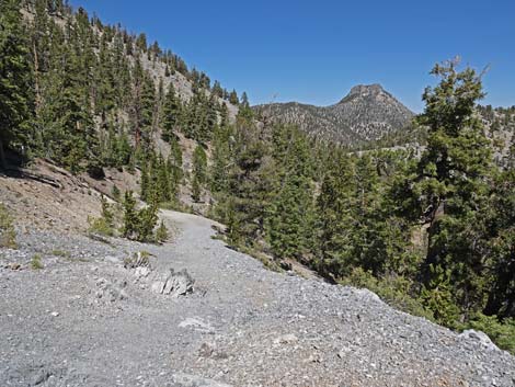
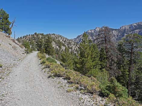
 Rocky hillside with grand scenery (view E) |
 Bristlecone Trail approaching the end of the old road (view NE) |
 Bristlecone Trail arriving at the end of the old road (view NE) |
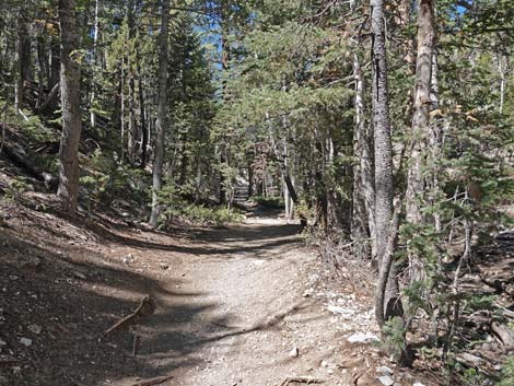
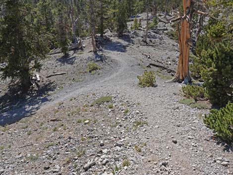
 Bristlecone Trail continues on the old road (view NE) |
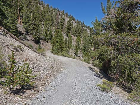 Gentle grades and wide trail on the old road (view NE) |
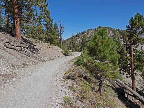
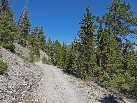 A mix of Pines and Firs along the trail (view NE) |
 Big, old White Fir and young Bristlecone Pine along the trail |
 The old road provides some nice views (view NE) |
 Mostly young Bristlecone Pine in this section (view NE) |
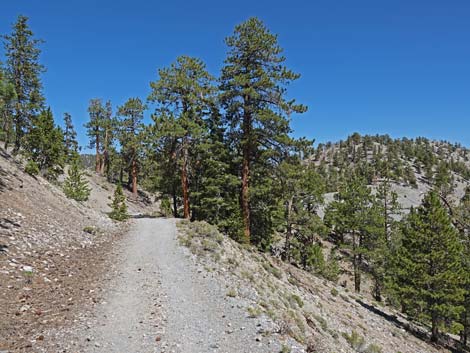 Mostly Ponderosa Pine along here (view NE) |
 Easy walking with young and old Ponderosa Pine (view NE) |
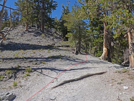
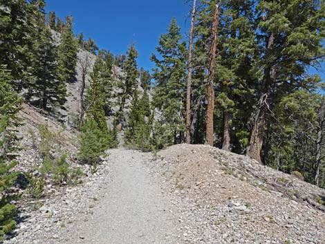
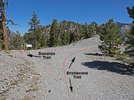 Approaching Bonanza Trail junction (view NE) |
 Bristlecone Trail at Bonanza Trail junction (view NE) |
 Signs at Bonanza Trail junction (view NE) |
 More to come ... |
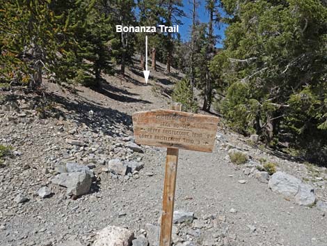 Bristlecone Loop Trail directional sign (view NW) |
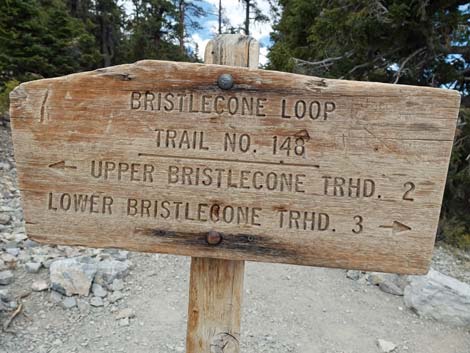 Bristlecone Loop Trail directional sign with distances (view NW) |
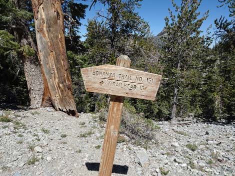 Bonanza Trail directional sign (view N) |
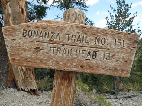 Bonanza Trail directional sign with distances (view NW) |
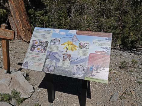 Information sign: Mount Charleston Blue Butterfly (view N) |
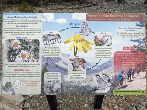 Information sign: Mount Charleston Blue Butterfly (view N) |
 Bristlecone Trail continues on old road (view SE from Bonanza Trail) |
 Route continues: see photos and info ... |
Table 1. Hiking Coordinates Based on GPS Data (NAD27; UTM Zone 11S). Download hiking GPS Waypoints (*.gpx) file.
| Wpt. | Location | UTM Easting | UTM Northing | Elevation (ft) | Point-to-Point Distance (mi) | Cumulative Distance (mi) |
|---|---|---|---|---|---|---|
| 01 | Upper Bristlecone Trailhead | 618755 | 4018565 | 8,690 | 0.00 | 0.00 |
| 02 | Ski Resort Overlook | 618558 | 4018281 | 8,782 | 0.23 | 0.23 |
| 03 | Trail to Ski Shack | 618323 | 4018082 | 8,820 | 0.20 | 0.43 |
| 04 | Small Spring | 618063 | 4017976 | 8,895 | 0.19 | 0.62 |
| 05 | Trail to Camps | 617814 | 4017860 | 8,998 | 0.23 | 0.85 |
| 06 | Old Bristlecone Trail Junction | 617575 | 4017766 | 9,102 | 0.20 | 1.05 |
| 07 | Trail to Highpoint Knob | 617310 | 4018437 | 9,336 | 0.67 | 1.72 |
| 08 | Highpoint Ridge | 617238 | 4018415 | 9,375 | 0.05 | 1.77 |
| 09 | Highest Spot on Trail | 617096 | 4018462 | 9,396 | 0.10 | 1.87 |
| 10 | End of Historical Construction | 616935 | 4018663 | 9,347 | 0.27 | 2.14 |
| 11 | End of Scout Canyon Road | 616946 | 4018721 | 9,345 | 0.03 | 2.17 |
| 12 | Bonanza Trail Junction | 617104 | 4019061 | 9,276 | 0.26 | 2.43 |
| 13 | Big Roadcut | 618381 | 4019418 | 9,075 | 0.99 | 3.42 |
| 14 | Scout Canyon Road Hairpin Turn | 617435 | 4019696 | 8,867 | 0.80 | 4.22 |
| 15 | Lower Bristlecone Trailhead | 618806 | 4019182 | 8,479 | 1.17 | 5.39 |
| . | . | . | . | . | . | . |
| . | Return Via Use-Trail | . | . | . | . | . |
| 15 | Lower Bristlecone Trailhead | 618806 | 4019182 | 8,479 | . | 5.39 |
| 16 | Lee Canyon Road | 618829 | 4019054 | 8,468 | 0.08 | 5.47 |
| 17 | Use-Trail to Upper Trailhead | 618631 | 4018632 | 8,548 | 0.31 | 5.78 |
| 01 | Upper Bristlecone Trailhead | 618755 | 4018565 | 8,690 | 0.11 | 5.89 |
| . | . | . | . | . | . | . |
| . | Return Via Lee Canyon Road | . | . | . | . | . |
| 15 | Lower Bristlecone Trailhead | 618806 | 4019182 | 8,479 | 5.39 | |
| 16 | Lee Canyon Road | 618829 | 4019054 | 8,468 | 0.08 | 5.47 |
| 17 | Use-Trail to Upper Trailhead | 618631 | 4018632 | 8,548 | 0.30 | 5.77 |
| 01 | Upper Bristlecone Trailhead | 618755 | 4018565 | 8,690 | 0.52 | 6.29 |
Happy Hiking! All distances, elevations, and other facts are approximate.
![]() ; Last updated 250518
; Last updated 250518
| Hiking Around Mt Charleston | Hiking Around Las Vegas | Glossary | Copyright, Conditions, Disclaimer | Home |