Hiking Around Las Vegas, Lake Mead NRA
 Access Road along Hwy 93 to Trailhead Parking |
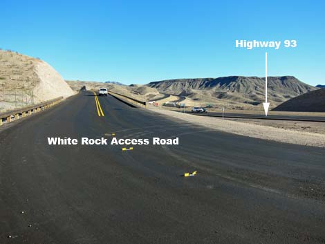
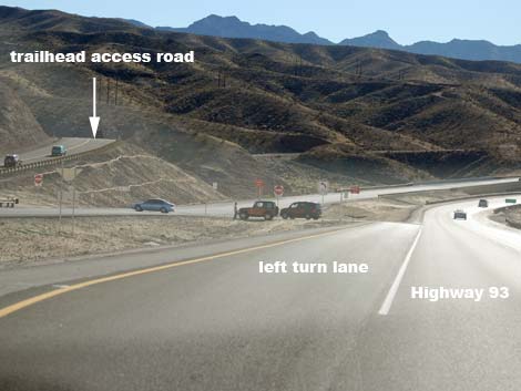
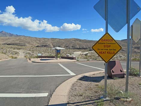
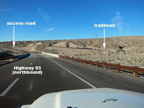
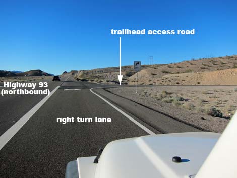
Due to extreme temperatures, this area is closed during summer. Link to details (DPF). White Rock Canyon Trailhead is located in Lake Mead National Recreation Area, but south of Hoover Dam along Highway 93 on the Arizona side of the Colorado River, about 45 minutes southeast of Las Vegas. From town, drive out towards Lake Mead. Stay on Highway I-11 (Highway 93) and drive south over the Colorado River bridge into Arizona. At about Mile Post 4 (Site 0745), watch for a left turn across the highway and a paved road leading to a large parking area (Site 1038) east of the highway. Park here; this is the trailhead. Link to trailhead map. |
 Hikers Starting onto Trail |
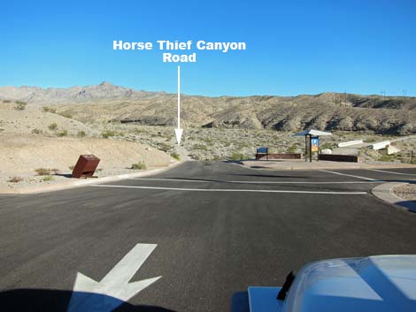
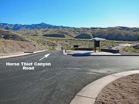
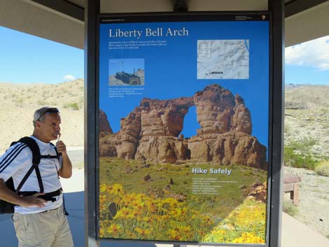
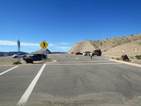
Use caution crossing the highway - oncoming traffic is traveling at more than 70 mph! If you miss the turnoff, continue south on Highway 93 for about 6 miles to a U-turn crossover. White Rock Canyon Trailhead provides access to several destinations in the White Rock Wash area, including Liberty Bell Arch, Liberty Bell Overlook, Spooky Canyon, and several routes to Arizona Hot Springs (White Rock Canyon Route, Hot Springs Canyon Washes Route, and Hot Springs Canyon Mountains Route). Horse Thief Canyon Road also starts here. Vehicle break-ins seem to be increasing at this trailhead, perhaps because of easy access to the highway. Never leaves anything of value visible inside a vehicle. Some suggest leaving the windows down. Because of extreme summer temperatures, many hikers have required rescue here in recent years. The extreme temperatures also put the lives of rescue personnel at risk. Therefore, the National Park Service closes White Rock Canyon during summer and locks the trailhead gate. |
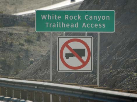 Highway sign (view S) |
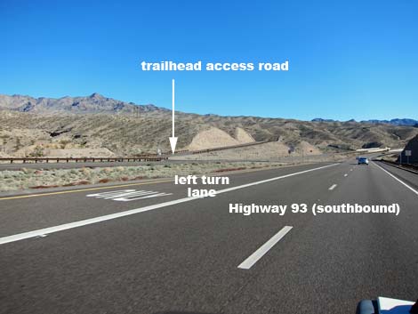 Left turn onto Trailhead Access Road (view S) |
 Left turn onto Trailhead Access Road (view S) |
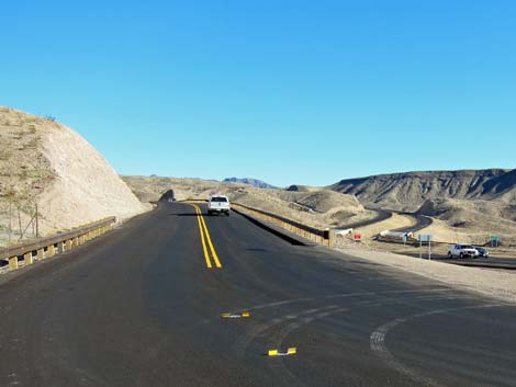 Trailhead access road (view SE) |
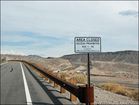 Sign on access road: area closed during August |
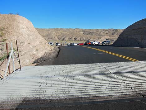 Cattle guard at entrance to trailhead parking |
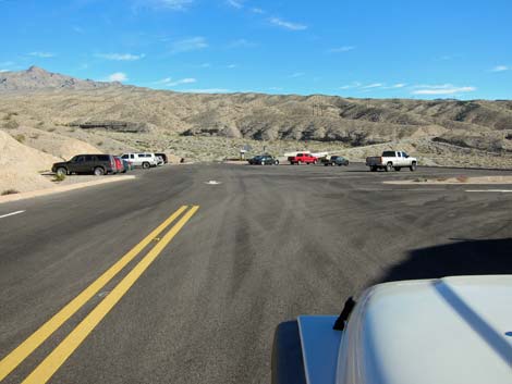 Entering the trailhead parking |
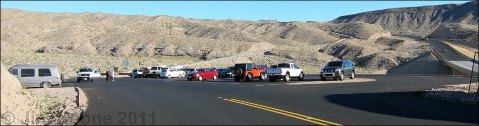
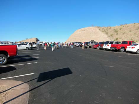
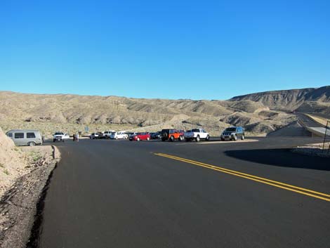 Trailhead parking Trailhead parking |
 |
 |
 |
 |
 |
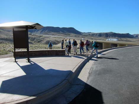
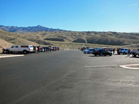
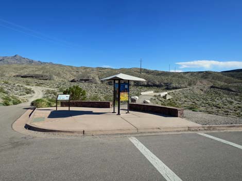
 Approaching trailhead kiosk (view SE) |
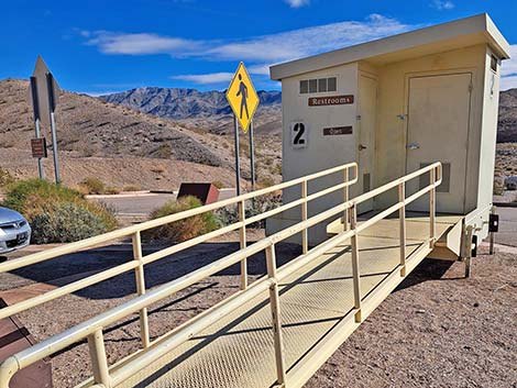 Accessible outhouse |
 Historical White Rock Canyon Bridge, on the right (view S) |
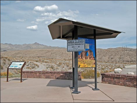 Sign at trailhead: area closed during August |
 Hiker at trailhead kiosk sign |
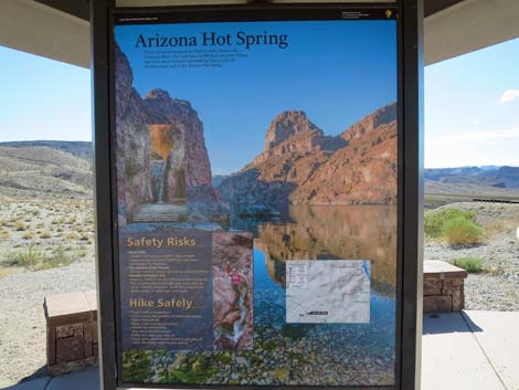 Trailhead kiosk sign |
 Trailhead (view NW from trailhead kiosk) |
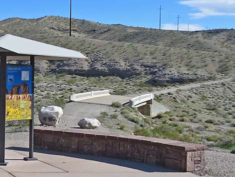 Historical White Rock Canyon Bridge, on the right (view S) |
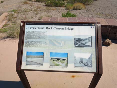 Trailhead sign about White Rock Canyon Bridge (view S) |
Approaching White Rock Canyon Trailhead from the South
 Approaching the trailhead northbound |
 Approaching the trailhead northbound |
Table 1. Highway Coordinates (NAD27; UTM Zone 11S). Download Highway GPS Waypoints (*.gpx) file.
| Site # | Location | Latitude (N) | Longitude (W) | UTM Easting | UTM Northing | Elevation (feet) | Verified |
|---|---|---|---|---|---|---|---|
| 0745 | Hwy 93 at White Rock Trailhead | 35.98092 | 114.70009 | 707358 | 3984078 | 1,527 | Yes |
| 1038 | White Rock Canyon Trailhead Parking | 35.98028 | 114.69717 | 707623 | 3984013 | 1,544 | Yes |
Happy Hiking! All distances, elevations, and other facts are approximate.
![]() ; Last updated 240328
; Last updated 240328
| Hiking Around Lake Mead | Hiking Around Las Vegas | Glossary | Copyright, Conditions, Disclaimer | Home |