Rock Art Around Las Vegas
Rock art is a precious resource. Please help protect and preserve these sites.
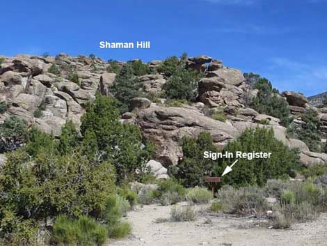
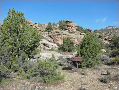 Shaman Hill Sign-in Register at the trailhead (view NW) |
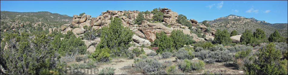
Overview The Mt. Irish Archeological District is a large area with many boulder piles and bands of low cliffs covered with petroglyphs. Shaman Hill is the largest of the public petroglyph sites in the district and consists of many boulders and rock outcrops on the east end of a ridge (which appears to be an isolated hill when looking west). Native peoples etched an extensive array of petroglyphs into the rocks here. The BLM placed eight numbered markers around the site, and the BLM and Lincoln County each produced brochures describing the numbered petroglyph panels (BLM brochure; Lincoln County brochure). The parking area between Shaman Knob and Shaman Hill is one of the better campsites in the area (see Shaman Knob). While visiting this site, please take care of the area and leave it as you found it for the enjoyment of future generations. Link to Site Map. |
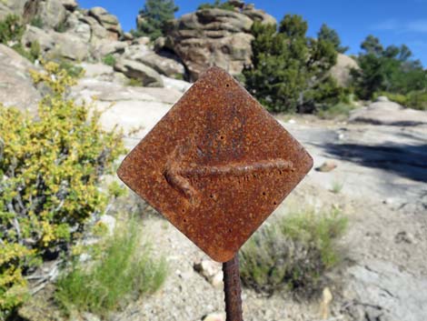
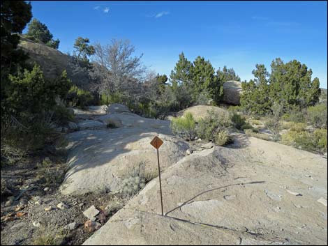
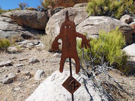 Marker style used at Shaman Hill |
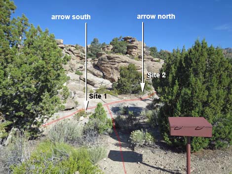
Location The Mt. Irish Archeological District is located in the Pahranagat Valley, about 110 miles north of Las Vegas. Details of the location, access routes, and GPS coordinates are presented on the Mt. Irish Archeological District page. The Hike The Shaman Hill sign-in register (Table 1, Site SH-Register) is adjacent to the parking area, and from the register, Marker #1 (Site SH-01) and Marker #2 (Site SH-02) are against the hill directly behind the register. Marker #1 is visible from the register, and Marker #2 is behind a big juniper tree to the right. Marker #3 (Site SH-03), Marker #4 (Site SH-04), and Marker #5 (Site SH-05) are off to the right along the base of the hill. For details, see Northbound Trail. Marker #6 (Site SH-06), Marker #7 (Site SH-07), and Marker #8 (Site SH-08) are along the base of the hill to the left. See Southbound Trail for details. All numbered markers are at ground level. For Marker #5, the petroglyph panel is visible from the marker, but the petroglyph is on a large boulder up the hillside. Bring binocular or hiking boots. |
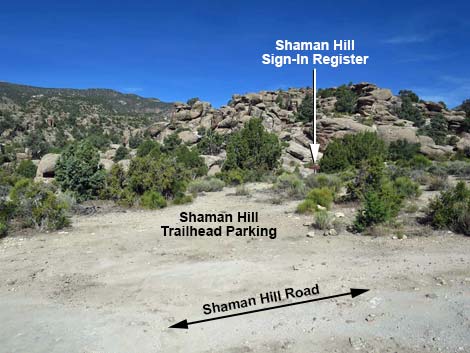 Trailhead parking (view W from Shaman Hill Road) Trailhead parking (view W from Shaman Hill Road) |
 Shaman Hill Sign-in register (view NW) |
 Shaman Hill Sign-in register and view to Marker #1 (view NW) |
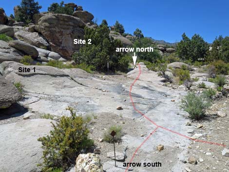
 Behind the register, the North and South trails split (view NW) |
 Arrow to Southbound Trail (Sites 6-8; view NW) |
 Second arrow on Southbound Trail (view S) |
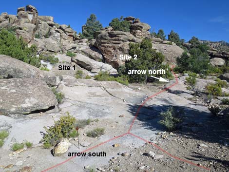
 Northbound Trail (view NW from southbound arrow) |
 Arrow to Northbound Trail (Sites 1-5; view NW) |
Archeological, Biological, and Other Items of Interest
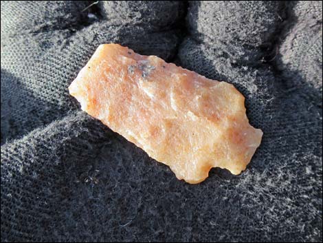 Broken point (arrowhead) -- look and touch, but leave behind! |
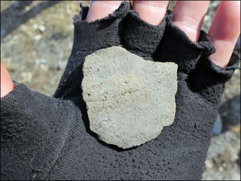 Broken pot (outside) -- look and touch, but leave behind! |
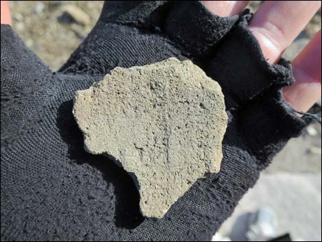 Broken pot (inside) -- look and touch, but leave behind! |
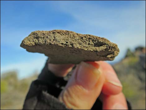 Broken pot (broken edge) -- look and touch, but leave behind! |
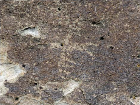
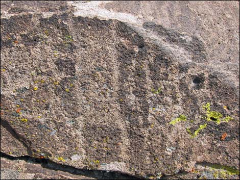
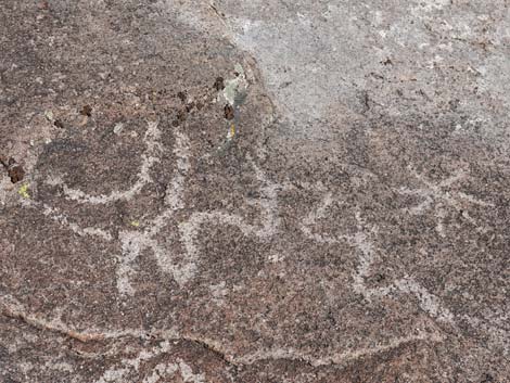 Abstract petroglyphs (between Sites 3-4) |
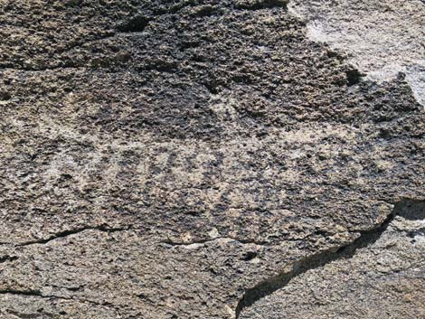
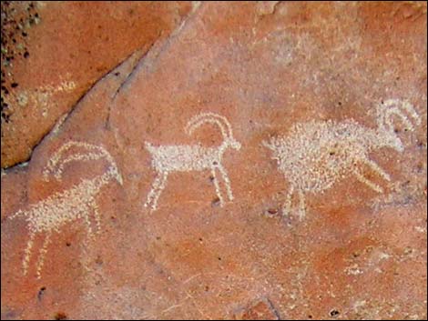 Representational petroglyphs (Site 8) |
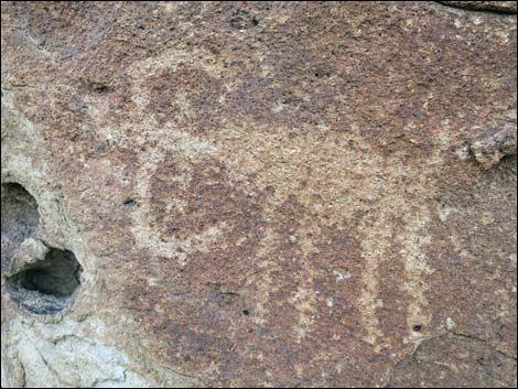
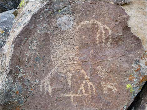 Pahranagat Man (Site 1) |
 Pahranagat Lady (Site 5) |
 Near Site 5 |
 Crazy bighorn sheep (Site 2) |
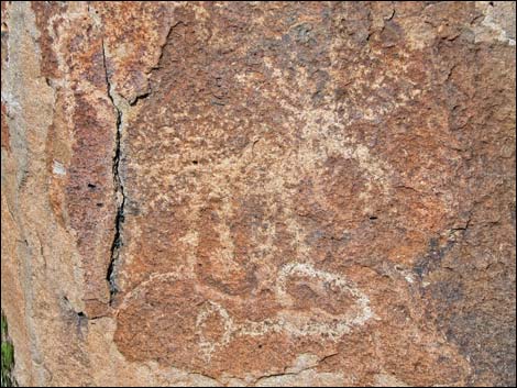 Elk (Site 2) |
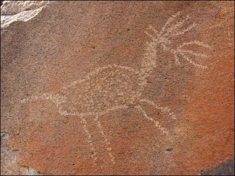
 Fork-tailed bird (Site 8) |
 Lighting makes a difference in how we see the petroglyphs |
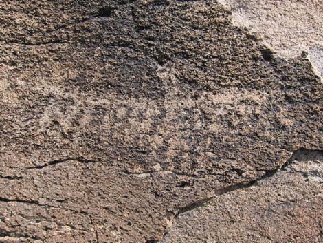 Lighting makes a difference in how we see the petroglyphs |
 Human figure (Site 3) |
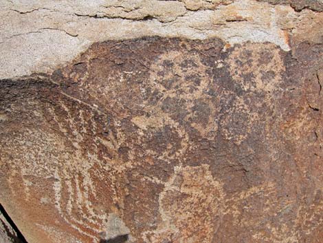 Crazy sheep and shields (Site 2) |
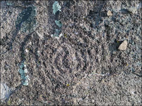 Stone spiral (Site 1) |
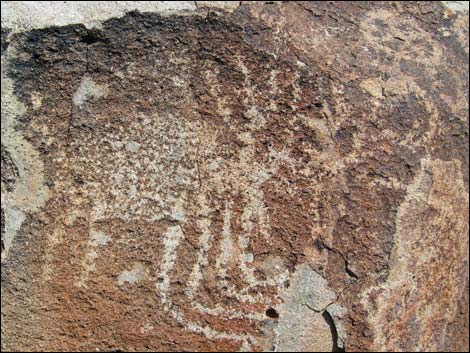
 Bighorn sheep; top-down view (Site 2) |
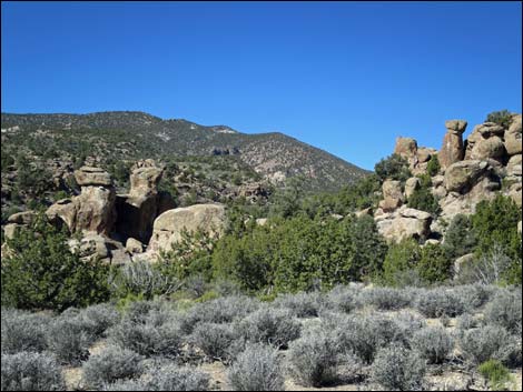 Grand scenery in the surrounding area (view SW) |
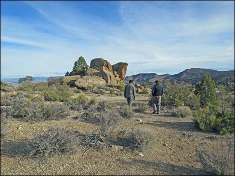 Returning towards the trailhead (view E towards Shaman Knob) |
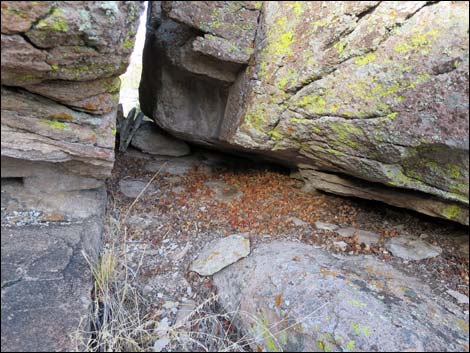 We have Cliff Chipmunks! (Site 3) |
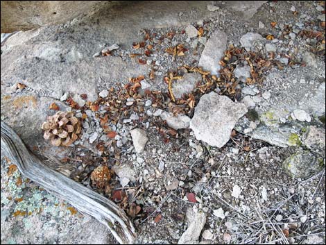 Cliff Chipmunks cut pine cones to get the seeds (Site 3) |
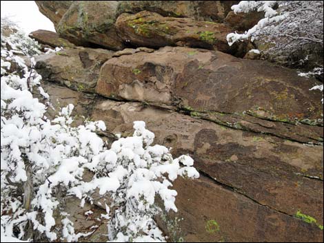
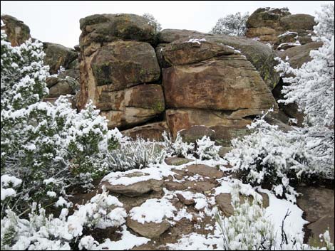
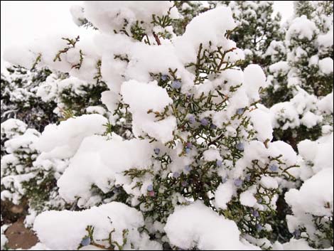
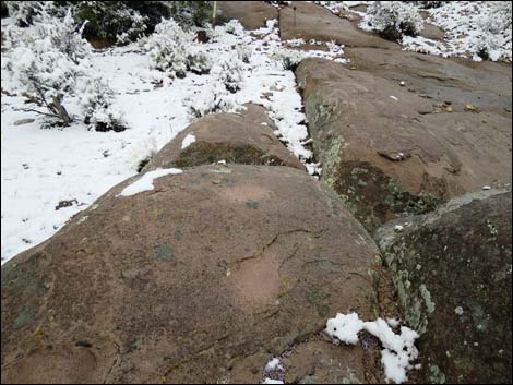
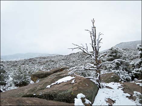
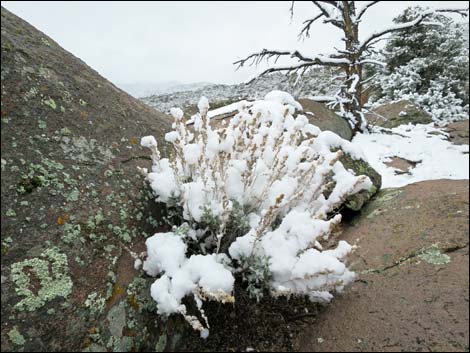
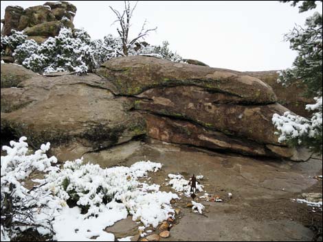
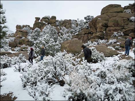
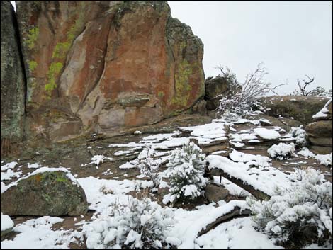
Snow at Shaman Hill
 |
 |
 |
 |
 |
 |
 |
 |
 |
 |
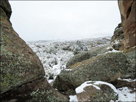 Snowy day (view E from near Site 8) |
 More to come ... |
Table 1. Hiking Coordinates based on GPS data (NAD27; UTM Zone 11S). Download Hiking GPS Waypoints (*.gpx) file.
| Waypoint | Location | Easting | Northing | Elevation | Verified |
|---|---|---|---|---|---|
| SH-Register | Shaman Hill Sign-in Register | 643186 | 4163241 | 5,736 | GPS |
| SH-01 | Shaman Hill Marker #1 | 643160 | 4163252 | 5,736 | GPS |
| SH-02 | Shaman Hill Marker #2 | 643162 | 4163260 | 5,738 | GPS |
| SH-03 | Shaman Hill Marker #3 | 643159 | 4163281 | 5,748 | GPS |
| SH-04 | Shaman Hill Marker #4 | 643137 | 4163335 | 5,759 | GPS |
| SH-05 | Shaman Hill Marker #5 | 643072 | 4163406 | 5,784 | GPS |
| SH-06 | Shaman Hill Marker #6 | 643166 | 4163230 | 5,723 | GPS |
| SH-07 | Shaman Hill Marker #7 | 643145 | 4163216 | 5,721 | GPS |
| SH-08 | Shaman Hill Marker #8 | 643120 | 4163189 | 5,740 | GPS |
SH = Shaman Hill
Happy Hiking! All distances, elevations, and other facts are approximate.
![]() ; Last updated 240323
; Last updated 240323
| Rock Art | Glossary | Copyright, Conditions, Disclaimer | Home |