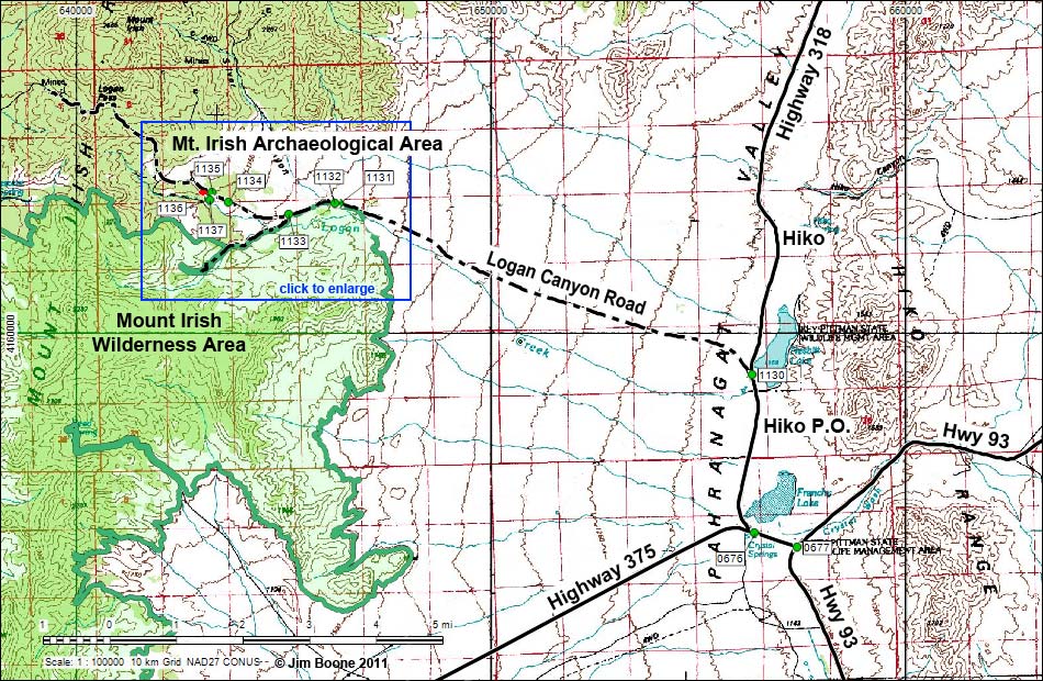
Note: Roads are black (solid = paved; dashed = unpaved). Trails and routes are red (solid = main; dashed = adjacent or alternate). Map based on USGS topo map. North is at the top. UTM Grid is NAD27 CONUS. Wilderness Area boundaries (green) based on BLM data.
Happy hiking! All distances, elevations, and other facts are approximate.
![]() ; Last updated 110516
; Last updated 110516
| Mt. Irish | Petroglyphs Around Las Vegas | Glossary | Copyright, Conditions, Disclaimer | Home |