Hiking Around Las Vegas, Muddy Mountains Wilderness Area, Backroads
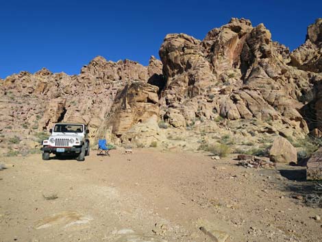 Packing up at Colorock Campground (view NE) |
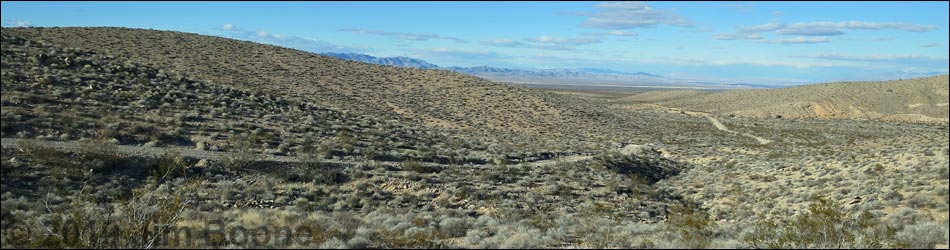
Returning Down Colorock Quarry Road The Colorock Quarry Road is a moderately rough dirt road that is normally passable in a 2WD-HC vehicle. The road provides access to trails, undeveloped camping areas, petroglyph sites, rock climbing, and the Hidden Valley section of the Muddy Mountains Wilderness Area. Presented here are photos of returning down Colorock Road from the campground area to the pavement of Highway 169 (Valley of Fire Road). For a detailed description of the road including photos, maps, and GPS coordinates, see Colorock Quarry Road. |
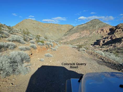 Colorock Quarry Road exiting the campground area (view N) |
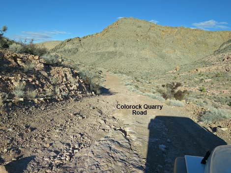 A bit of rough road exiting the campground area (view N) |
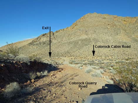 Approaching fork in the road (view N) |
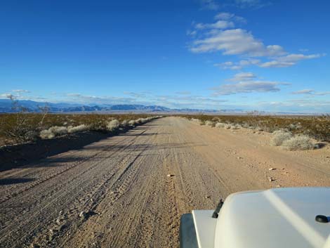
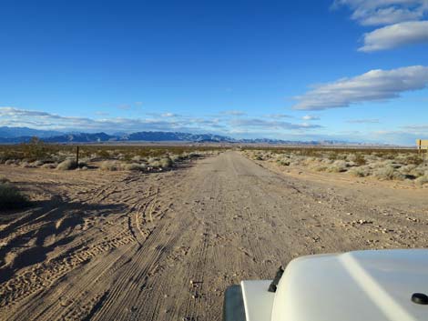
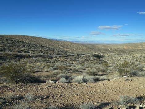 Colorock Quarry Road runs down the valley (view NW) |
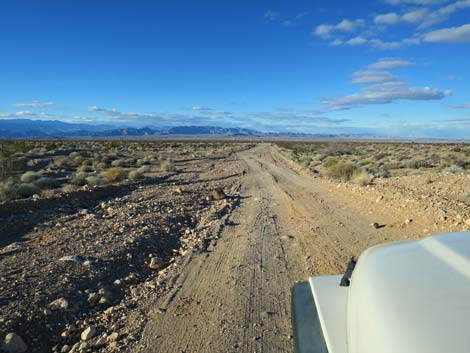
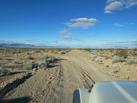 Returning to the parallel-roads section (view NW) |
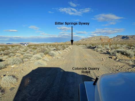 Returning to Bitter Springs Back Country Byway (view N) |
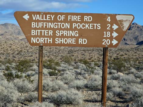 Sign at intersection with Bitter Springs Byway (view N) |
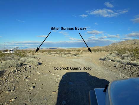 Colorock Road at Bitter Springs Back Country Byway (view N) |
 Well-groomed road along Bitter Springs Byway (view NW) |
 Rougher spot of road along Bitter Springs Byway (view NW) |
 Bitter Springs Byway returning to the pavement (view NW) |
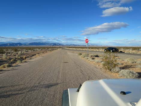 Bitter Springs Byway returning to Highway 169 (view NW) |
Happy Hiking! All distances, elevations, and other facts are approximate.
![]() ; Last updated 190302
; Last updated 190302
| Backroads | Hiking Wilderness Areas | Hiking Around Las Vegas | Glossary | Copyright, Conditions, Disclaimer | Home |