
Hiking Around Las Vegas, Arrow Canyon Range, Arrow Canyon Wilderness Area

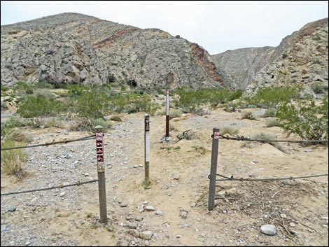 Trailhead gate in the cable fence (view NW) |
Overview This is a great hike through a deep, narrow canyon with vertical and overhanging walls that exceed 200-feet high. At the narrowest points, the bottom of the canyon is about 20-feet wide. The rocks are carbonate with many fossils, and native peoples left their marks on the rock. The top of the canyon, 2.4 miles from the trailhead, is blocked by a dam built by the CCC, but with some logistical, scrambling, and route-finding abilities, hikers can get around the dam and do a one-way hike through the canyon, but it would be easier to just do an in-an-out hike from the bottom. There are four parts to this hike: lower canyon, lower narrows, side canyon, and upper narrows. The lower canyon is a typical, rocky desert canyon with an old road in the wash. The lower narrows is the lower part of the spectacularly deep-and-narrow gorge, which end at a side canyon that leads a short way through the rock walls into the open desert. The upper narrows is the narrowest part and ends at a dam built by the Civilian Conservation Corps (CCC) in the 1930s. Link to area map or road access map. |
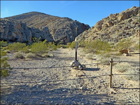 |
The Arrow Canyon Access Road is a 2WD high-clearance road when conditions are good. Walking from the end of the 2WD sedan-quality section of road adds about 1.5 miles (one way) to the hike. Historically there have been land access issues with the homeowner in the big house at the mouth of the canyon. At one point, the homeowner tried to block public access to the area, but a public road goes around the house to a municipal well. Hikers are free to turnoff from Highway 168, drive through the ranch gate, drive to the municipal well, and continue into the canyon. Don't turn off the road or drive up the red-colored gravel driveways to the big house, please drive slowly to reduce dust, and try not to antagonize the homeowner who now consider themselves guardians of Arrow Canyon. |
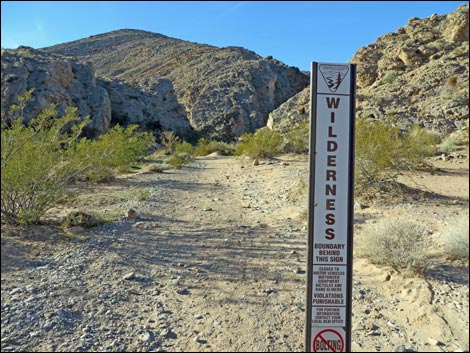 Welcome to wilderness! |
Watch Out Other than the standard warnings about hiking in the desert, ...stay out of the canyon if it looks like flash floods might be possible. This would be indicated by thunderstorms in the Arrow Canyon Range or in other mountains to the north. Otherwise, this is a pretty safe hike if hikers stay in the bottom of the canyon. There are 3rd and 4th class routes out of the canyon, and if trying one of those, be extra careful because a rescue from the upper canyon could be a real pain. This is a wilderness area, so while hiking, please respect the land and the other people out there, and try to Leave No Trace of your passage. There are no cairns on this route; please don't leave any new ones. Also, even though this hike is fairly short, it is remote, so be sure to bring the 10 Essentials. |
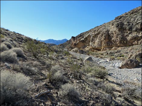
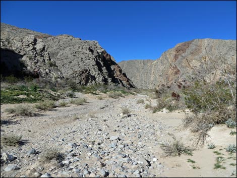 Route drops into the wash and heads up canyon (view NW) |
Getting to the Trailhead This hike is located on the east side of the Arrow Range, about 1 hour northeast of Las Vegas, off Highway 168 northwest of Moapa and Glendale. From town, drive out to the Arrow Canyon Wilderness Area. For the quickest route, drive north on Interstate-15 to Glendale. Exit the interstate and drive northwest on Highway 168. Drive about 11 miles to a dirt road on the left with a western-style ranch gate. This is the Arrow Canyon Access Road. On Arrow Canyon Access Road, drive southwest, past the house and the municipal well, and into the canyon. In a sedan, stop just past the municipal well (0.6 miles from the pavement), and in a 2WD high-clearance vehicle, check carefully the first wash crossing (0.74 miles out) before driving in. The road ends in 2.0 miles at a cable fence, campsite, wilderness boundary sign, and the trailhead. |
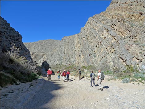 |
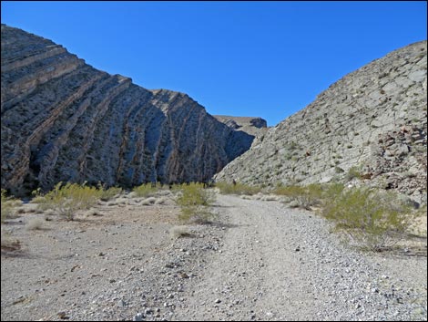
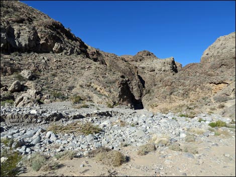
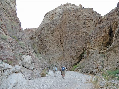
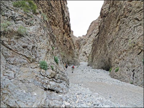
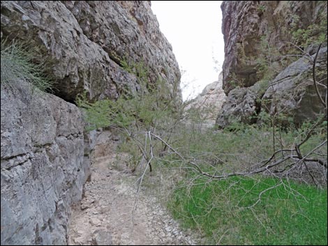
The Hike From the trailhead (Table 1, Waypoint 01), this route runs up the canyon following the old road for 0.9 miles to the entrance to the narrows (Wpt. 02). Entering the narrows, hikers literally enter a slit in the side of the mountain. The walls instantly are only a few yards apart and the cliffs tower above. Hiking up the canyon, the bottom gets a little wider in places, but it is always narrow. There is little vegetation in this part of the canyon, a testament to the flash floods that scour the canyon from time to time. |
 |
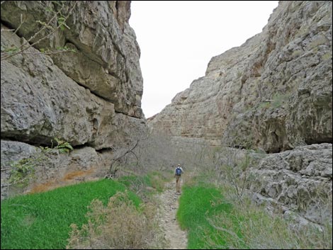
About 0.75 miles from the entrance to the narrows, the canyon widens a bit where a narrow side canyon comes in from the south (Wpt. 03). This short side canyon exits the main canyon through another narrow gap in the side of the mountain. The side canyon is only 0.2-miles long and is as interesting as the main canyon, so it is worth the walk up there to get a feel for the land outside the canyon (Wpt. 04), all of which is in the Arrow Canyon Wilderness Area. Back at the confluence (Wpt. 03) in the main canyon, the route continues up the main canyon heading northwest. The nature of the canyon changes here. Previously, the canyon bottom was water-polished cobbles and rocks, but from here on up, much of the bottom is dirt and covered with grasses, forbs, and other vegetation. There are many honey mesquite and catclaw acacia trees (fortunately, most of the claws have been worn off by passing animals and humans). |
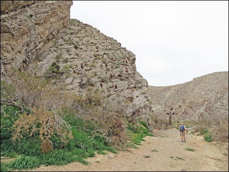 |
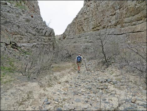
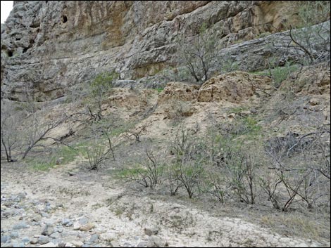
About 0.27 miles into the upper canyon, there is an enormous cave on the west side of the canyon (Wpt. 05; Swamp Cave). Rock climbers have been working here, and this is a good example of why bolting is prohibited in wilderness areas. There are many bolts, slings, carabiners, and other pieces of climbing junk hanging from the wall. Climbers perform some impressive feats here, but a wilderness area is not the place; there are many rocks elsewhere to climb. Continuing, the canyon tends to narrow a bit as hikers dodge back and forth to avoid the catclaw and mesquite. About 0.26 miles above Swamp Cave, there are opportunities to climb onto a ledge system (Wpt. 06) that runs along the cliffs above the wash. For hikers wanting to hike out through the upper end of Arrow Canyon, this is the place to leave the canyon bottom. Ledges on both sides of the canyon can be used, but it is easier and safer to climb onto the ledge on the east side. I've seen the east-side route from the west side, and it looks OK. Getting up onto the west side ledges is a dicey 4th class climb with few handholds and loose dirt on the ledges. |
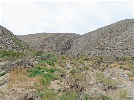 Entrance to lower narrows comes into view (view NW) |
Continuing for another 0.3 miles, the route arrives at the base of a 30-foot dam (Wpt. 07) that blocks further progress. Above the dam, the canyon is narrow only for a few more yards, then it opens into a broad, saltcedar choked wash between low sedimentary cliffs. Hikers who don't go farther up aren't missing much. Check the mud at the bottom of the dam. When I was there the first time, I found the tracks of bobcat, gray fox, coyote, some small carnivore (perhaps ringtail cat), birds, and others species that I couldn't identify. There were also many carnivore scats about. These looked like coyote, fox, and something smaller, again, perhaps ringtail cat. After resting at the base of the dam, retrace your footprints to the trailhead (Wpt. 01). If you didn't see them on the way up, look for ancient and modern petroglyphs on the way down, but don't mar the canyon by adding more graffiti. For photos of the hike out, see the Arrow Canyon - Hiking Back Down webpage. |
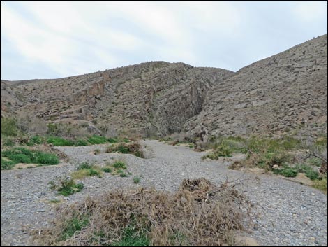 Approaching the lower narrows (view NW) |
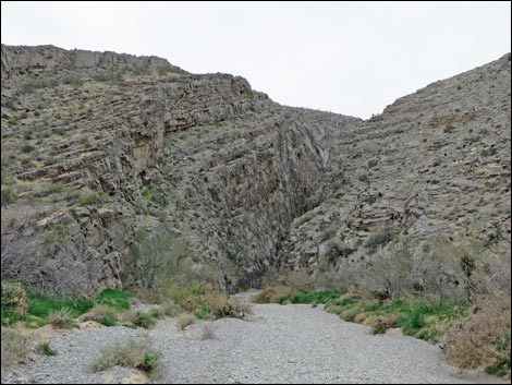 Mouth of the lower narrows (view NW) |
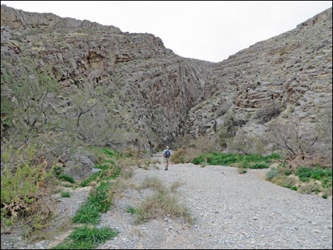 Mouth of the lower narrows (view NW) |
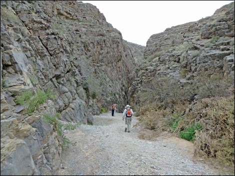 Entrance to the narrows (view NW) |
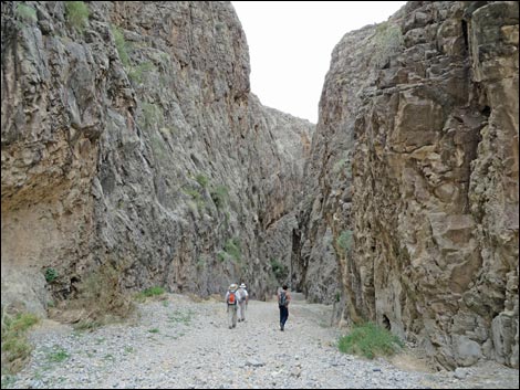 Hikers just inside mouth of lower canyon (view NW) |
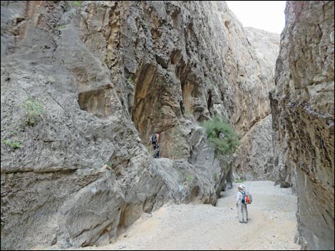 Hikers at tinaja (view NW) |
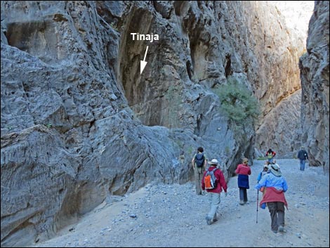 Hikers below tinaja (view NW) |
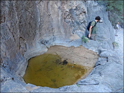 Hikers at tinaja (view NW) |
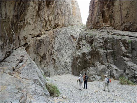 Layers of stone ... |
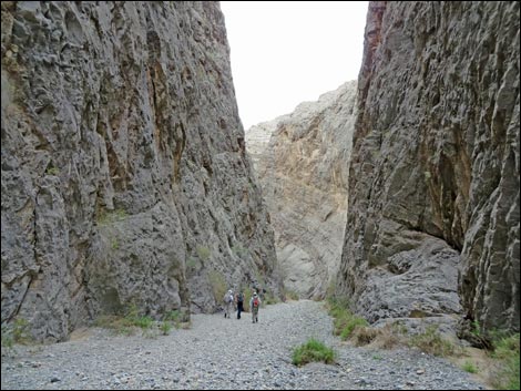 Hikers in the canyon (view NW) |
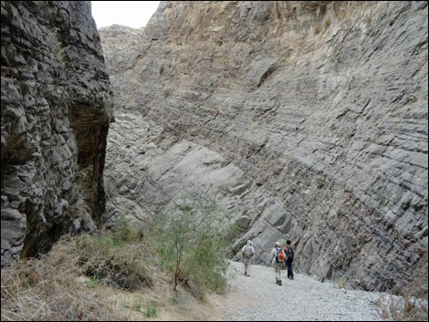 ... layers of time |
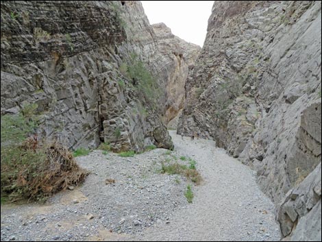 Hikers in the canyon (view NW) |
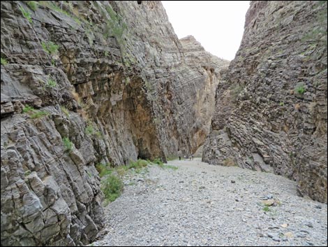 |
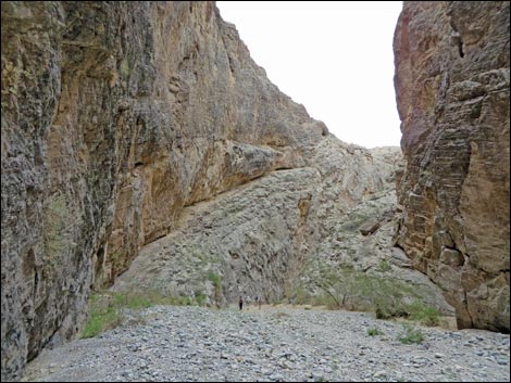 |
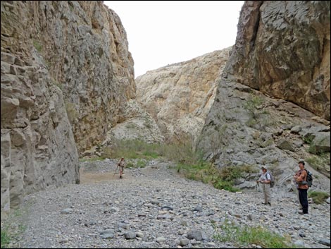 |
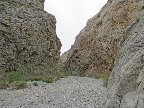 |
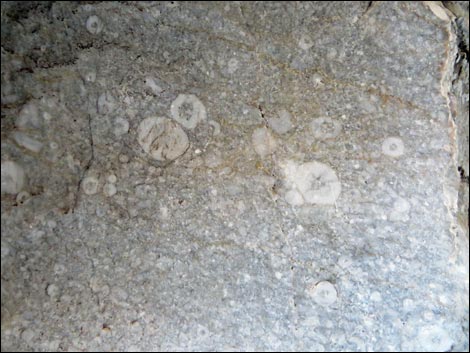 Crinoid fossils in the canyon wall |
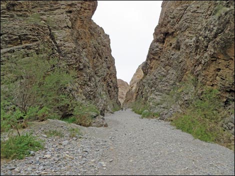 Hikers in the canyon (view NW) |
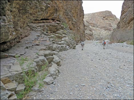 |
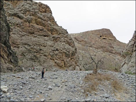 |
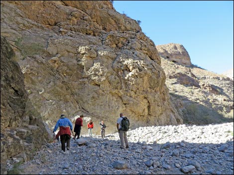 Hikers approaching the side canyon (view NW) |
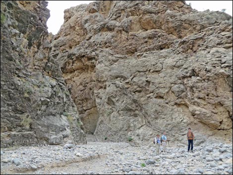 Hikers at confluence of side canyon (view NW) |
Side Canyon
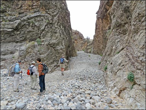 From main canyon, looking into side canyon (view S) |
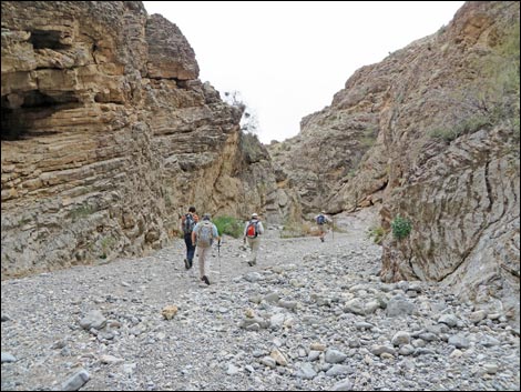 Hikers is side canyon (view S) |
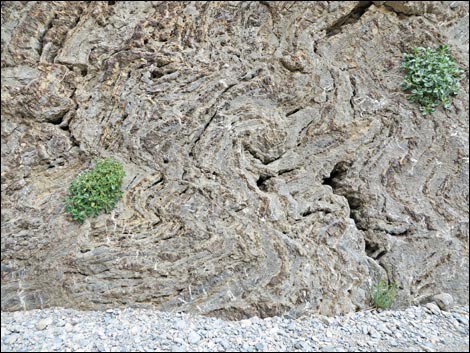 Contorted stone |
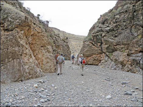 Hikers is side canyon (view S) |
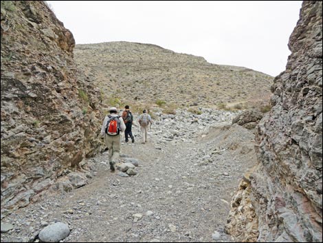 Hiker exiting from the side canyon (view S) |
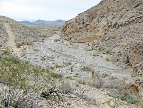 Wash above the side canyon (view SW) |
 Canyon above mouth of side canyon (view SW) |
 Canyon descending into the mouth of the side canyon (view SW) |
 Returning down the side canyon (view N) |
 Returning down the side canyon (view N) |
Upper Narrows
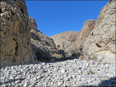 Starting into the upper canyon (view NW) |
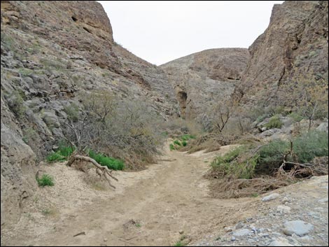 Mud bottom in upper canyon (view NW) |
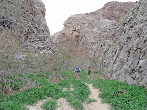 Grassy area in the upper canyon (view NW) |
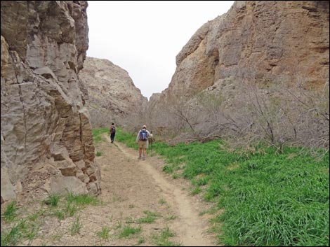 Hikers in upper canyon (view NW) |
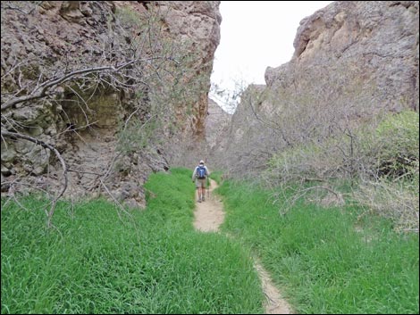 Hiker approaching Swamp Cave (view NW) |
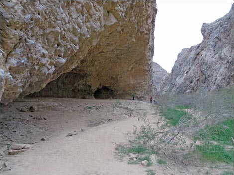 Swamp Cave (view NW) |
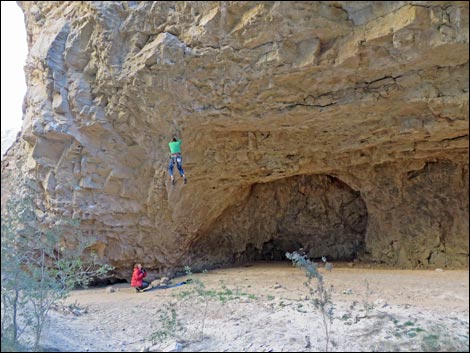 Climber hanging for ceiling of Swamp Cave (view SW) |
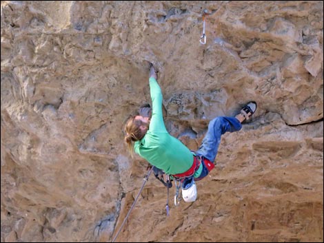 Climber in Swamp Cave (view SW) |
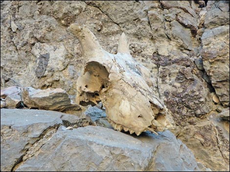 Climber in Swamp Cave who didn't make it (view SW) |
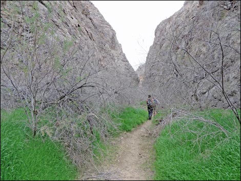 Hiker in upper canyon (view NW) |
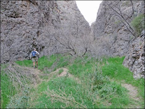 |
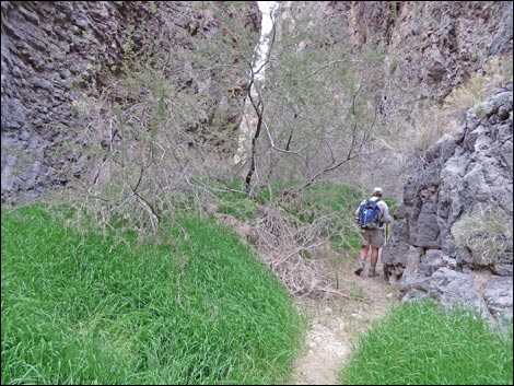 |
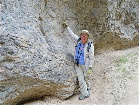 Yikes -- high-water mark from past floods! |
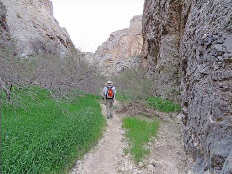 Narrow canyon full of brush |
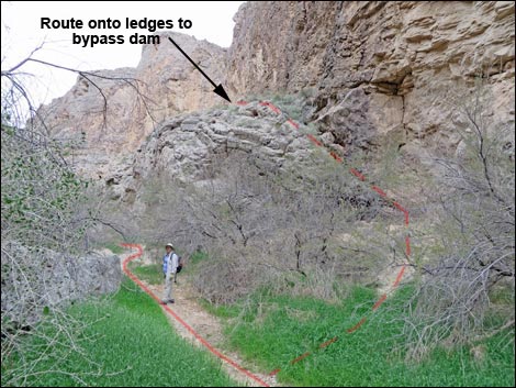 Route onto ledges to bypass dam (view NW) |
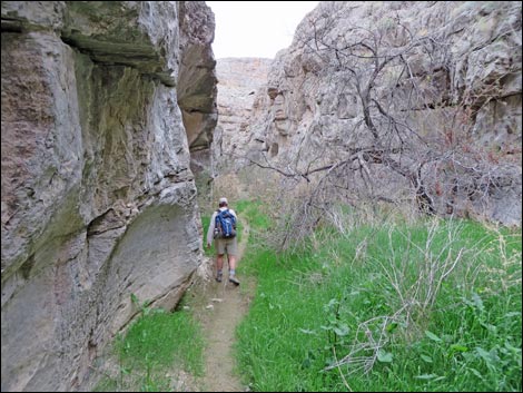
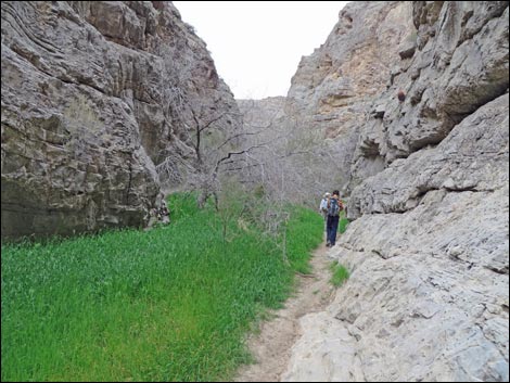 Hiker in upper canyon (view NW) |
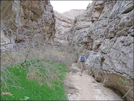
 |
 |
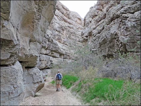 Hiker in upper canyon (view NW) |
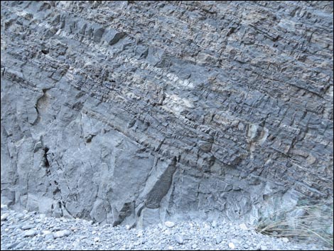 Layers of stone |
 |
 |
 |
 |
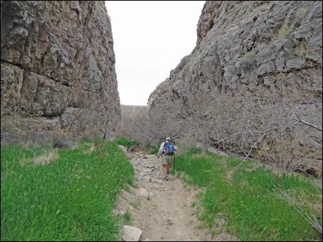 Approaching the 30-foot-high CCC dam (view NW) |
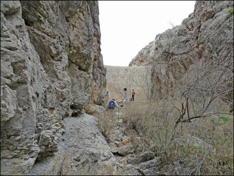 Approaching the 30-foot-high CCC dam (view NW) |
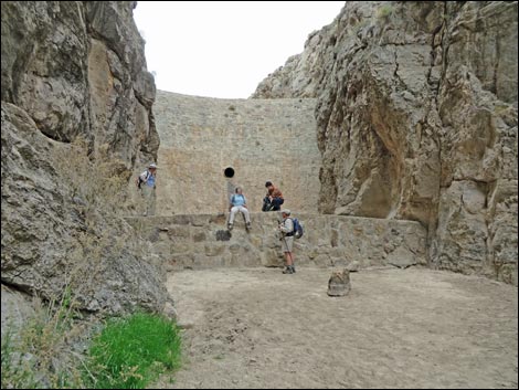 CCC dam |
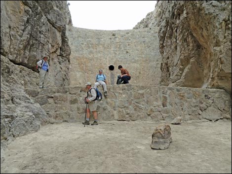 CCC dam |
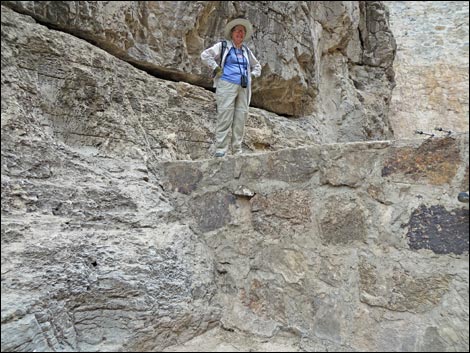 Hiker on retaining dam |
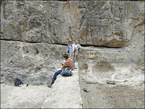 Retaining dam below the 30-foot high dam |
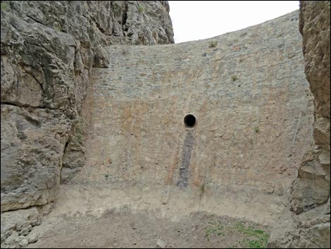 30-foot high CCC dam (view NW) |
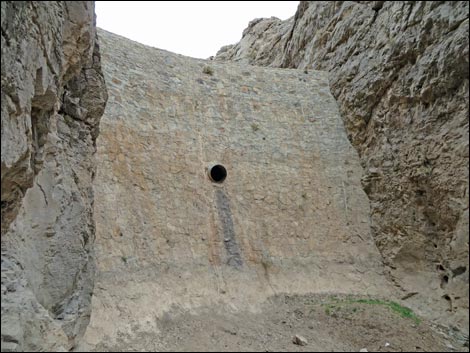 30-foot high CCC dam (view NW) |
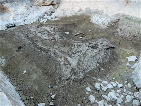 Mud below 30-foot high dam (view NW) |
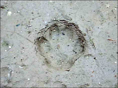 Interesting footprint in the mud |
Special Things to See
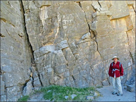 Native people's graffiti is very cool graffiti, but modern people have been adding a lot of fake rock art. |
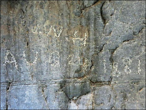 Oldest pioneer graffiti I've ever seen: J.W.H. Aug 24, 1881 Possibly Captain John W. Haynie of Carson City, NV; Civil War Vet |
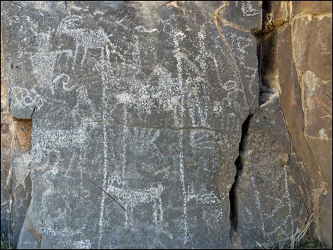 Real Rock Art - admire this with respect |
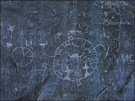 Fake rock art -- DON'T DO THIS!!! |
 Layer of large, round fossils |
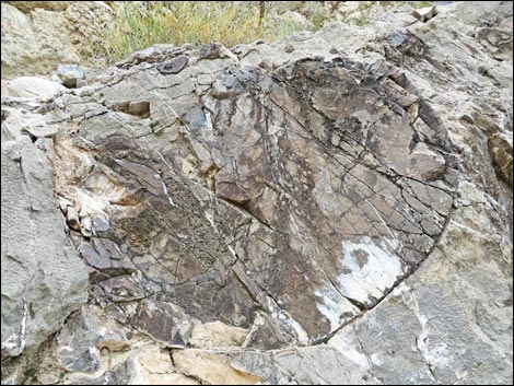 This large, round fossil is about 3 feet across |
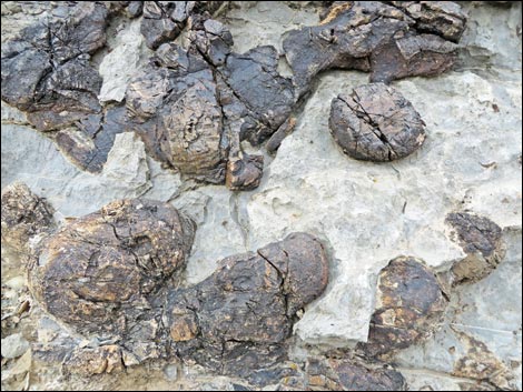 Fossil sponges |
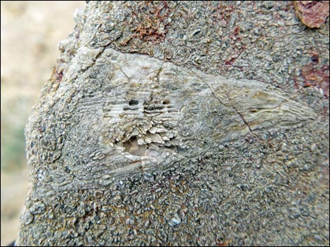 Horn coral |
Old Photos
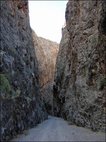 Inside the narrows when the road was open (view NW) |
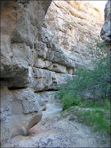 Layers in the rock walls (view NW) |
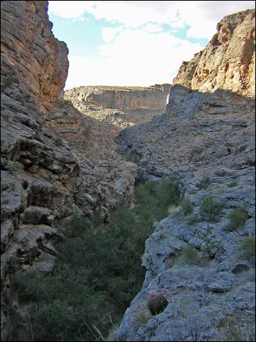 Bench to bypass the dam (view NW) |
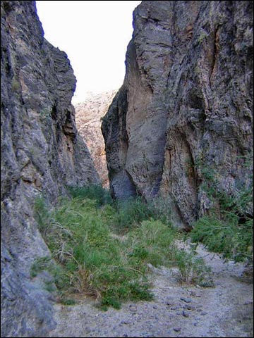 Hiking through the upper canyon (view NW) |
Table 1. Hiking Waypoints and Distances based on GPS Data (NAD27, UTM Zone 11S). Download Hiking GPS Waypoints (*.gpx) file.
| Wpt. | Location | UTM Easting | UTM Northing | Elevation (ft) | Point-to-Point Distance (mi) | Cumulative Distance (mi) | Verified |
|---|---|---|---|---|---|---|---|
| 01 | Trailhead | 699374 | 4066791 | 1,875 | 0.00 | 0.00 | Yes |
| 02 | Entrance to Narrows | 698174 | 4067238 | 1,869 | 0.88 | 0.88 | Yes |
| 03 | Junction in Canyon | 697327 | 4067762 | 1,932 | 0.69 | 1.57 | GPS |
| 04 | View into Wilderness Area | 697270 | 4067600 | 1,994 | . | . | GPS |
| 05 | Climbing Cave | 696969 | 4068075 | 2,032 | 0.31 | 1.88 | GPS |
| 06 | Escape on Ledges | 696656 | 4068323 | 1,911 | 0.25 | 2.13 | GPS |
| 07 | Dam | 696352 | 4068692 | 2,037 | 0.32 | 2.45 | GPS |
| 01 | Trailhead | 699374 | 4066791 | 1,875 | 2.45 | 4.90 | Yes |
Happy Hiking! All distances, elevations, and other facts are approximate.
![]() ; Last updated 240330
; Last updated 240330
| Arrow Canyon Range | Hiking Around Las Vegas | Glossary | Copyright, Conditions, Disclaimer | Home |