Hiking Around Las Vegas, Sloan Canyon NCA
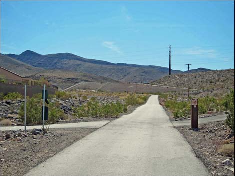
 Shadow Canyon Trailhead (view SE) |
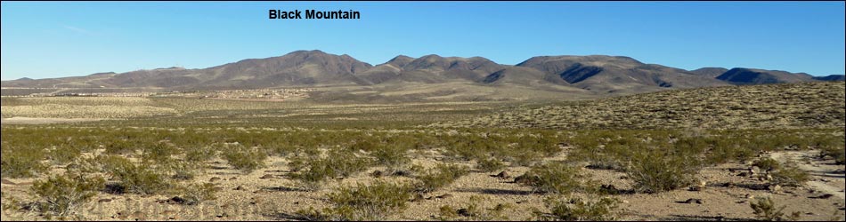
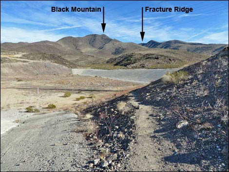
Overview The Black Mountain Trail, also called the BLM 404 Trail, provides a strenuous, 7.6-mile round-trip, hike in the Sloan Canyon National Conservation Area that climbs to the summit of Black Mountain and provides grand views over the Las Vegas Valley to the northwest, much of Arizona to the east, and California to the southwest. Paved access to the trailhead makes this an easy getaway from town into the volcanic mountains that rim the south edge of Las Vegas. This hike makes use of two trails: Anthem East Trail and the Black Mountain Trail. Link to map. See also Black Mountain Summit Views and Hiking Down Black Mountain. |
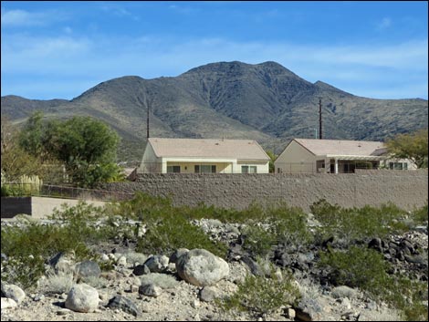 Black Mountain rises above houses (view E) Black Mountain rises above houses (view E) |
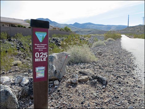
Watch Out Other than the standard warnings about hiking in the desert, ...this hike is fairly safe with no unusual hazards. Be careful near the summit where the trail is steep and winds among boulders. While hiking, please respect the land and the other people out there, and try to Leave No Trace of your passage. Also, even though this hike is short, be sure to bring the 10 Essentials. Getting to the Trailhead This hike is located in Sloan Canyon NCA, but it is accessed from urban neighborhoods in the Anthem area of Henderson, as described for the Shadow Canyon Trailhead. |
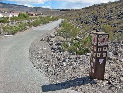
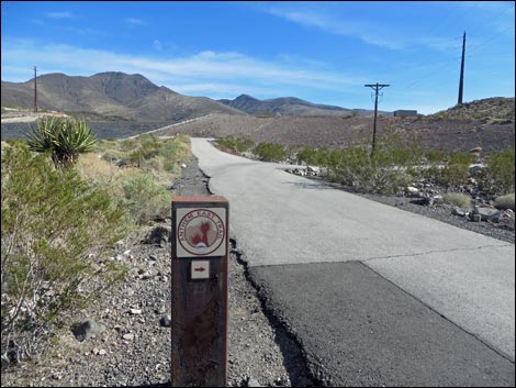
 Trail marker (view SE) |
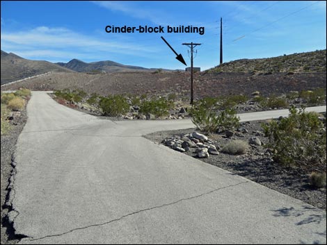
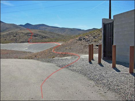
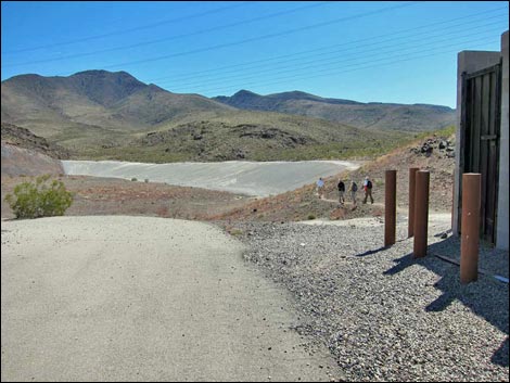
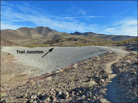
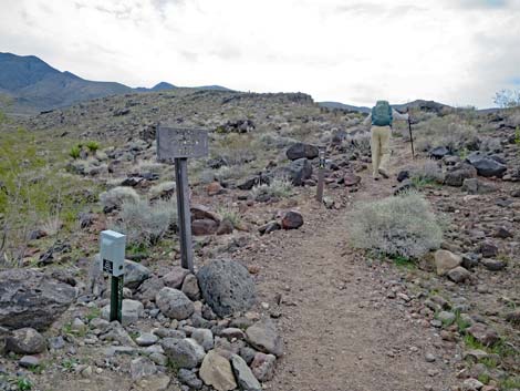
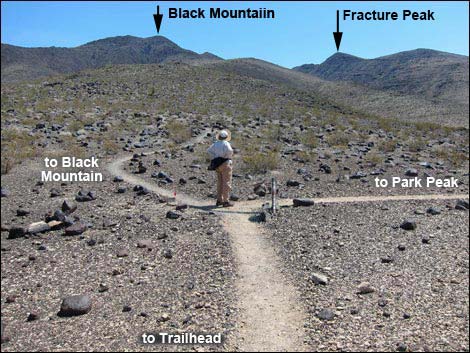
The Hike From the Shadow Canyon Trailhead, (Table 1, Waypoint 01), the Black Mountain Trail starts by running southeast on the paved Anthem East Trail in a well landscaped gully bordered by houses. After about 0.28 miles, a paved trail crosses the Anthem East Trail (Wpt. 02), and by this time, hikers can look out in the distance and see a small cinder-block building on a hill. The hill will turn out to be a retention dam that catches floodwaters before they affect town. The paved trail bends a bit left and then splits (Wpt. 03). Here, hikers can go either way, but it is probably easier to turn right on the Anthem East Trail and follow the pavement to the cinder-block building atop the dam (Wpt. 04). From the cinder-block building (Wpt. 04), trails diverge. The Anthem East Trail turn east to cross the dam, the Black Mountain Trail continues straight (southeast) on the contour, and the Park Peak Loop Trail (BLM 403) turns right (southwest) to climb the hillside. |
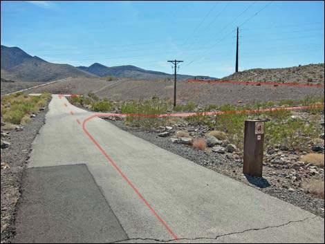
 Road crosses paved trail (view SE) |
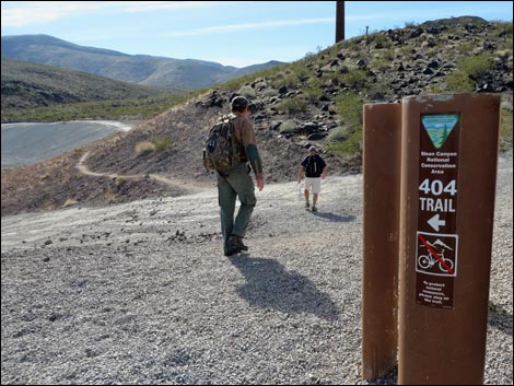
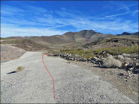
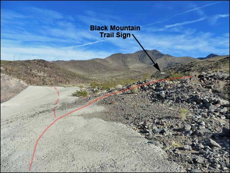
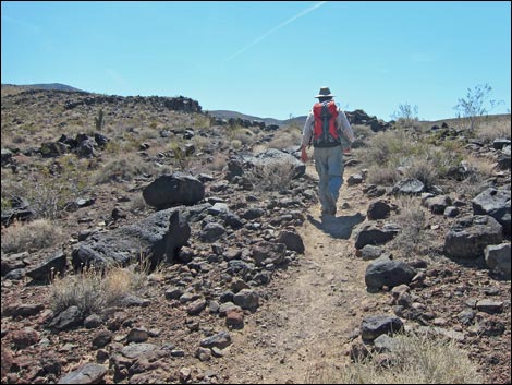
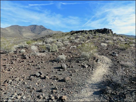
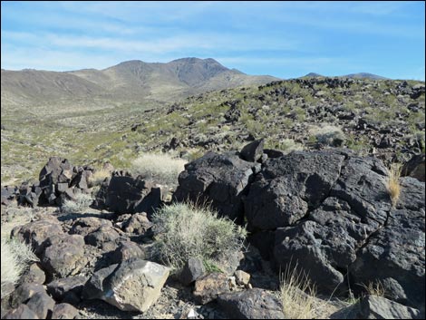
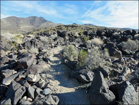
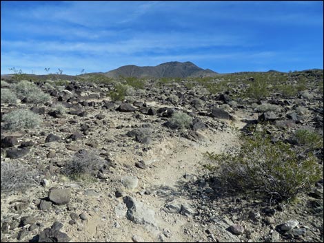
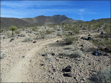
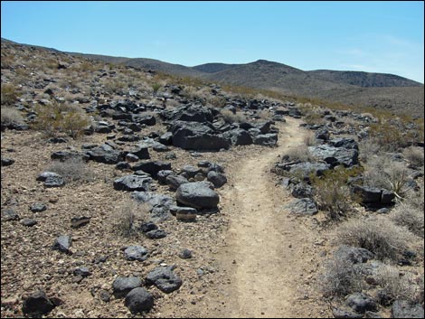
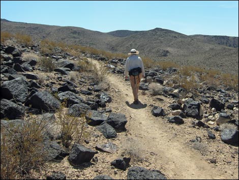
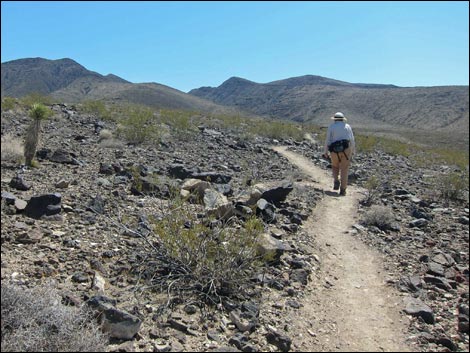
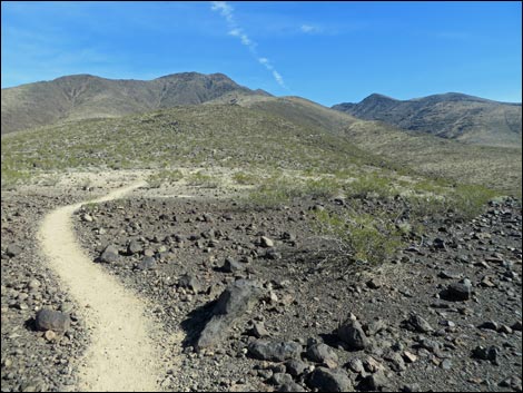
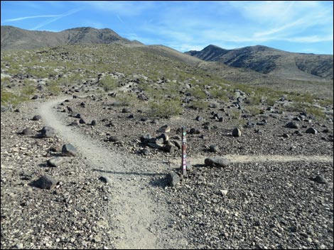
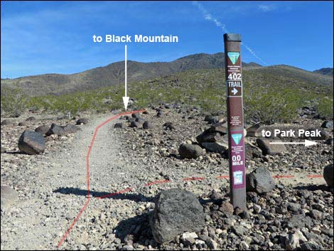
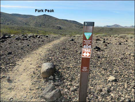
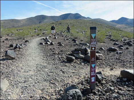
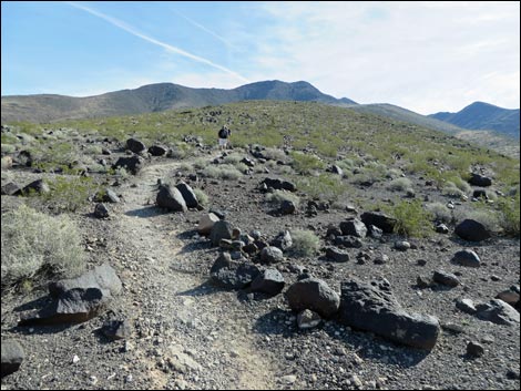
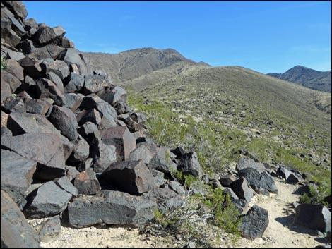
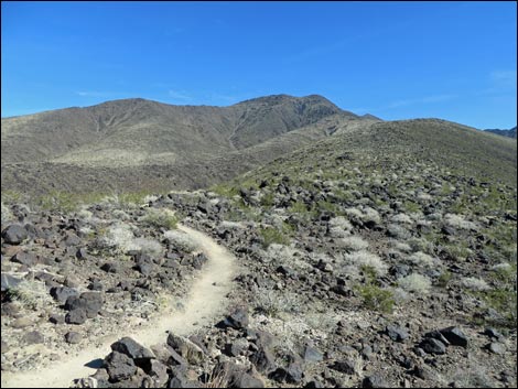
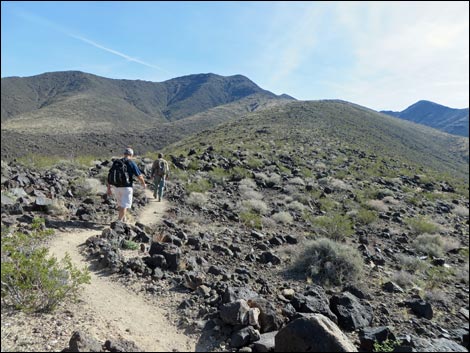
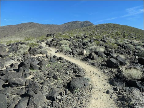
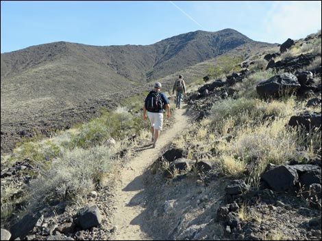
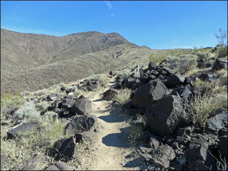
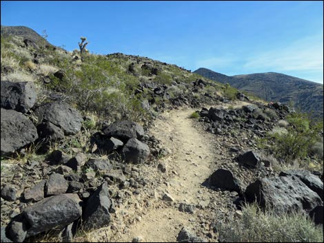
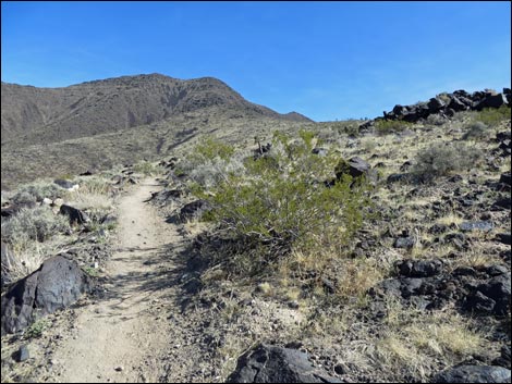
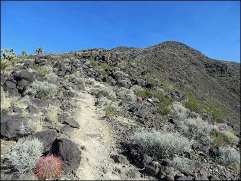
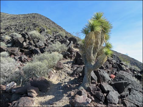
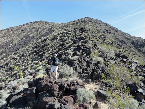
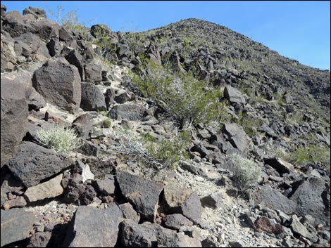
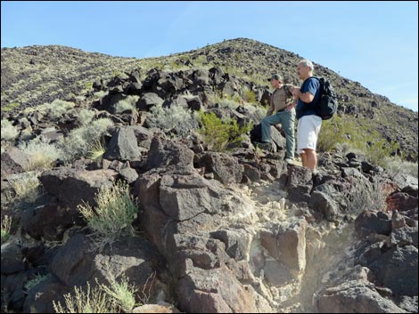
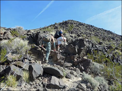
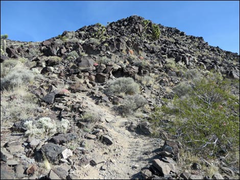
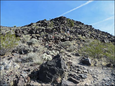
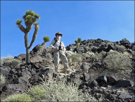
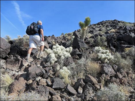
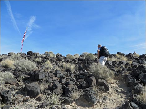
Continuing on the Black Mountain Trail, the trail leaves the pavement following a dirt foot path that contours southeast around to the back of the retention basin (Wpt. 05). Continuing across the cement-covered slope above the retention basin, at about the middle of the concrete (Wpt. 06), the Black Mountain Trail (marked by a wooden sign) turns to the right, enters Sloan Canyon National Conservation Area, and heads up into the wildlands. The Black Mountain Trail climbs onto a low ridge and follows the ridgeline up to the southeast. This ridge is the West Ridge of Black Mountain. The trail starts up the toe of the ridge, but as the slope steepens, the trail begins to switchback up as it winds among rocky outcrops of black volcanic rock - a small taste of what lies ahead. Eventually the grade eases and the trail drops gradually into a broad saddle and a trail junction (Wpt. 07). Here, the Black Mountain Trail continues east on the ridgeline while the Connector Trail (BLM 402) turns southwest and drops off the south side of the ridge to run towards Park Peak. |
 Anthem East Trail sign (view SE) |
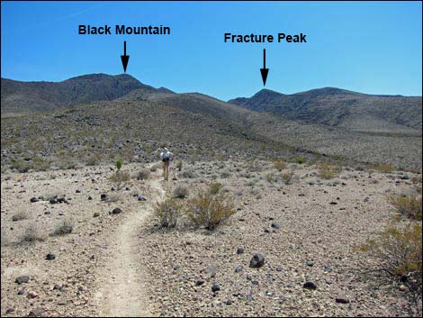
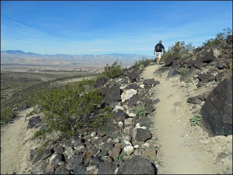
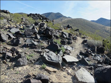
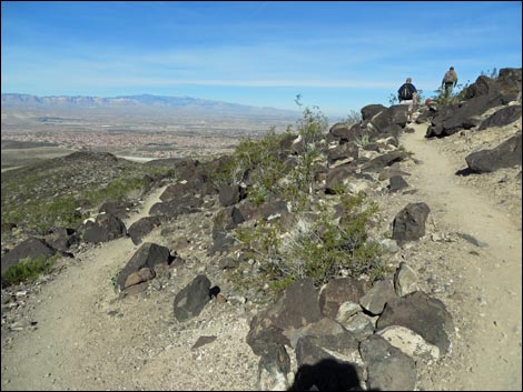
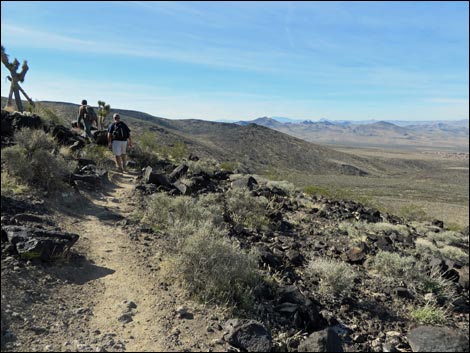
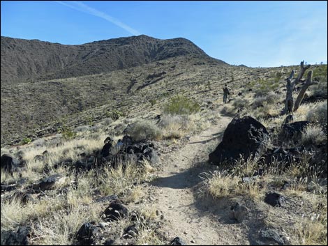
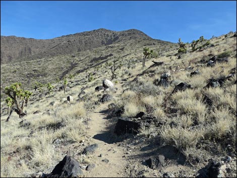
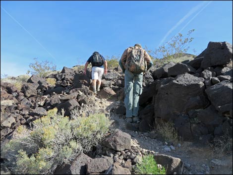
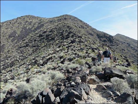
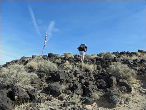
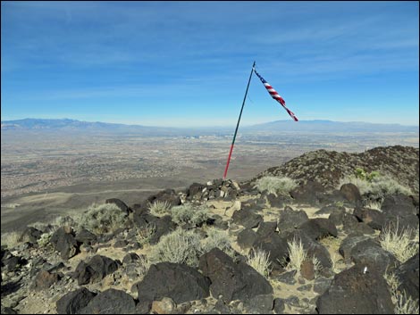
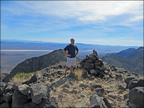
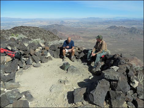
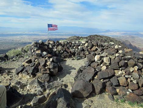
The Black Mountain Trail continues climbing the ridge at ever steeper grades until finally reaching the summit (Wpt. 20). At just over 5,000 feet elevation, views from the summit are grand and virtually all of the mountain ranges in southern Nevada are visible. To the west are Mt. Potosi, the Red Rock Canyon cliffs, and Mt. Charleston. To the north lie the Sheep Range, the Las Vegas Range, and Frenchman Mountain. Views to the east include the Mormon, Muddy, and Virgin Mountains, plus many ranges stretching out over Arizona. To the south are several ranges, including the South McCullough Range and Clark Mountain in California. Enjoy the summit views, then when rested, return to the trailhead by following your footprints back down the Black Mountain Trail. |
 Approaching turn to climb atop dam (view SE) |
 Approaching turn to climb atop dam (view SE) |
 Cinder-block building atop dam (view SE) |
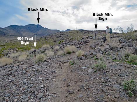
 Hikers starting on Black Mountain Trail; note 404 trail (view SE) |
 Hikers starting on Black Mountain Trail (view SE) |
 Trail sign on cinder-block building (view W) |
 Dirt trail contours above retention basin (view SE) |
 Trail runs atop cement-covered slope (view SE) |
 Trail runs atop cement-covered slope (view NE) |
 Dirt trail turns off at Black Mountain Trail sign (view NE) |
 Dirt trail turns off at Black Mountain Trail sign (view NE) |
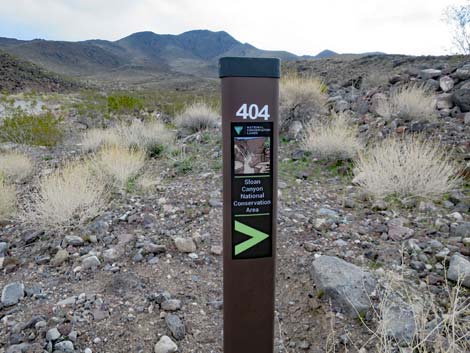 BLM 404 -- Black Mountain Trail sign (view NE) |
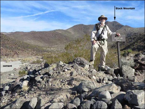 Jim at Black Mountain Trail sign (view NE) |
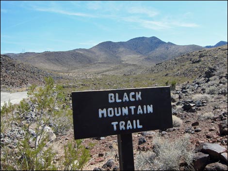 Black Mountain Trail sign (view NE) |
 Traffic counter and Black Mountain Trail signs (view SE) |
 Hiker starting up the Black Mountain Trail (view SE) |
 |
 |
 |
 |
 Black Mountain Trail (view E) |
 Black Mountain Trail (view SE) |
 Hiker on Black Mountain Trail (view SE) |
 Well defined trail runs along ridge (view SE) |
 Hiker on Black Mountain Trail (view SE) |
 Black Mountain Trail nearing trail junction (view SE) |
 Black Mountain Trail arriving at Connector Trail (view E) |
 Black Mountain Trail (BLM 404) at Connector Trail (BLM 402) |
 Connector Trail (BLM 402) to Park Peak (view E) |
 Black Mountain Trail (BLM 404) sign (view S towards Park Peak) |
 Hikers continuing on Black Mountain Trail (view E) |
 Black Mountain Trail (view E) |
 As the grade steepens, the trail switchbacks (view N) |
 Trail winds around hillside (view SE) |
 |
 |
 |
 |
 |
 |
 |
 |
 |
 |
 |
 |
 |
 |
 |
 |
 |
 |
 |
 |
 |
 |
 |
 |
 |
 |
 Black Mountain summit in the old days (view NW) |
 Black Mountain summit in the old days (view SE) |
 Black Mountain summit in the not-so-old days (view NE) |
 Black Mountain summit in modern times (view NW) |
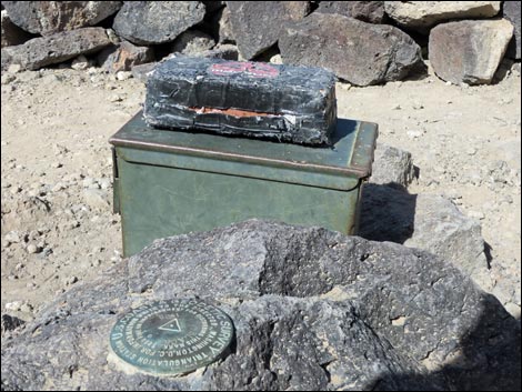 Black Mountain summit register |
 More to come ... |
Table 1. Hiking Coordinates and Distances based on GPS Data (NAD27; UTM Zone 11S). Download Hiking GPS Waypoints (*.gpx) file.
| Wpt. | Location | UTM Easting | UTM Northing | Elevation (ft) | Point-to-Point Distance (mi) | Cumulative Distance (mi) | Verified |
|---|---|---|---|---|---|---|---|
| 01 | Trailhead | 673133 | 3979357 | 2,966 | 0.00 | 0.00 | GPS |
| 02 | Trail Junction | 673277 | 3979000 | 2,976 | 0.26 | 0.26 | GPS |
| 03 | Trail Junction | 673415 | 3978839 | 3,021 | 0.13 | 0.39 | GPS |
| 04 | Trail Junction | 673476 | 3978746 | 3,052 | 0.11 | 0.50 | GPS |
| 05 | Trail Junction | 673582 | 3978631 | 3,086 | 0.10 | 0.60 | GPS |
| 06 | Top of Retention Basin | 673680 | 3978654 | 3,055 | 0.06 | 0.66 | GPS |
| 07 | Trail Junction | 674316 | 3978158 | 3,398 | 0.70 | 1.36 | GPS |
| 20 | Black Mtn. Summit | 676531 | 3977866 | 5,030 | 2.42 | 3.78 | GPS |
| 01 | Trailhead | 673133 | 3979357 | 2,966 | 3.78 | 7.56 | Map |
Happy Hiking! All distances, elevations, and other facts are approximate.
![]() ; Last updated 240330
; Last updated 240330
| Hiking Around Sloan Canyon | Hiking Around Las Vegas | Glossary | Copyright, Conditions, Disclaimer | Home |