Hiking Around Las Vegas, Spring Mountains (Mt. Charleston)
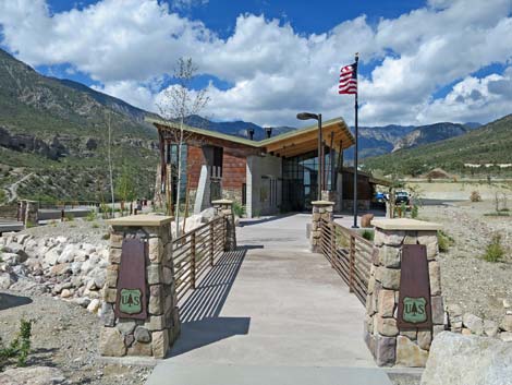
 Spring Mountains Visitor Center walkway entrance (view SW) |
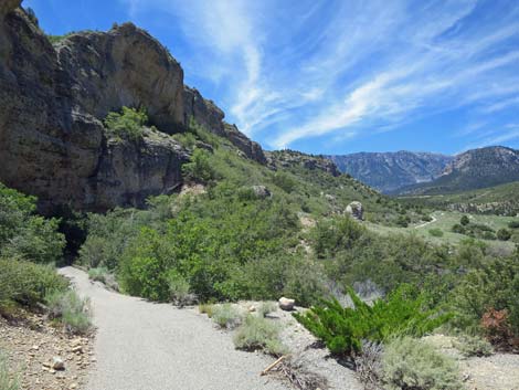
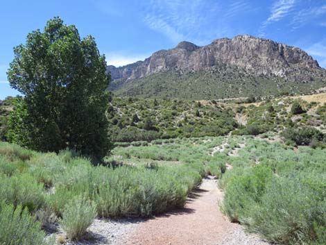
Overview The Pack Rat Trail is a loop trail (1.4 miles total) behind the Spring Mountains (Mount Charleston) Visitor Center. The trail descends gradually into Kyle Canyon Wash, goes out across the bottom of the wash, climbs steeply to run beneath the cliffs that can be seen across the canyon, drops steeply, and returns to the visitor center. Of course, as a loop, hikers can walk the trail in the other direction. The area is quite scenic with grand views up and down the canyon, a little bit of shade, and benches conveniently placed to encourage visitors to stop, sit and smell the roses, and listen to the birds and the breeze rippling across the landscape. In addition, high under the cliffs, the trail passes rare plants, a Cold War Heroes exhibit, and an enormous packrat midden. Link to map. |
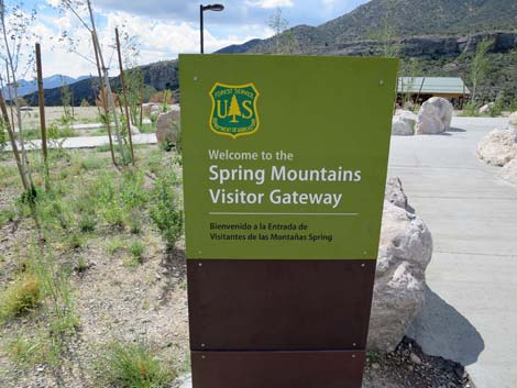 Entrance sign (view S) |
Presented here are photos of hiking the Packrat Trail in the clockwise direction. For a detailed description of the hike, including GPS coordinates and interesting details about packrats and their curious habits, see Packrat Trail -- Counter Clockwise. Because the Packrat Trail is quite steep, some people with bad knees prefer to hike in this direction. Briefly, however, the trail starts behind the Visitor Center and descends into Kyle Wash. When the trail reaches the wash, hikers turn downstream on the unmarked trail in the wash and pass through an area without tall trees. Just before reaching tall trees, this trail exits the wash to the right and picks up the paved portion of the Packrat Trail. The trail follows the paved trail rather steeply to the cliffs high on the hillside. The trail passes an historical exhibit (Silent Heroes of the Cold War) and bends to the right passing through a shady alcove in the towering cliffs where hikers can learn about the curious and useful sanitary habits of packrats. The trail continuous west under the cliffs until looping back down (steeply) to Kyle wash and back to the trailhead at the Visitor Center. |
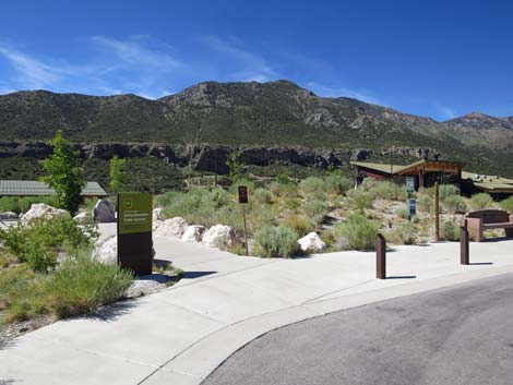
 Walkway to the Visitor Center (view W) |
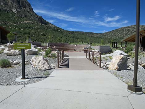
 Bridge to the Visitor Center (view W) |
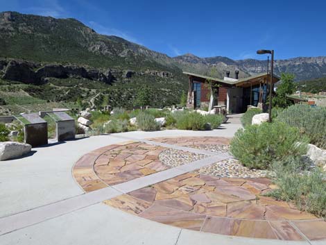
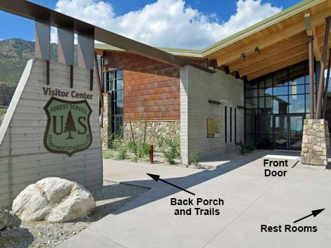 Approaching the Visitor Center front doors (view SW) |
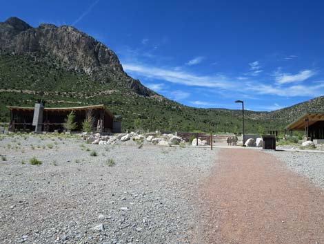
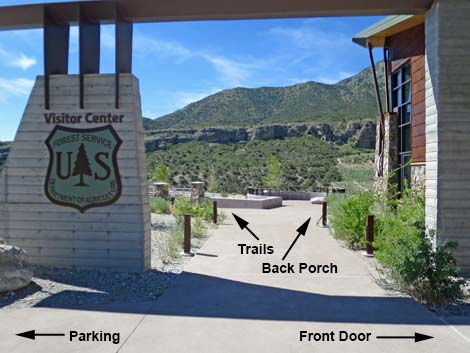 Walkway to the trails and back porch (view S) |
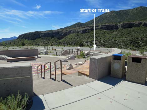 Overlooking the outdoor amphitheater (view SE) |
 Exit from the outdoor amphitheater (view SE) |
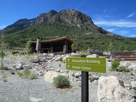
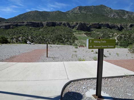 Sign: Hiking Trails straight ahead (view S) |
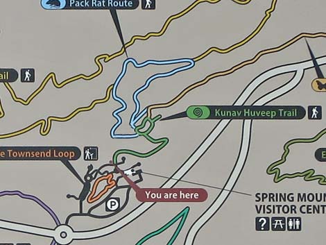
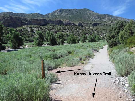
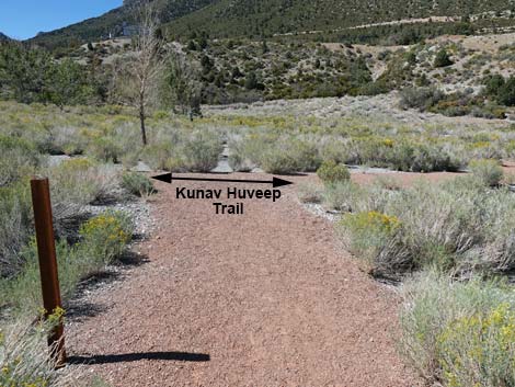
 Trail marker: Kunav Huveep Trail with red gravel |
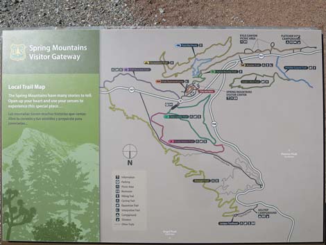 Sign: Trails in the Visitor Center area (note: North is at the bottom) |
 Sign: Kunav Huveep Trail (edited to reflect reality) |
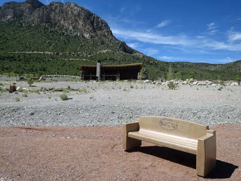
 First bench overlooking Kyle Canyon Wash (view W) |
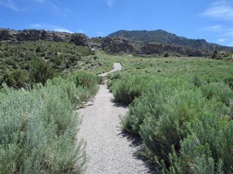
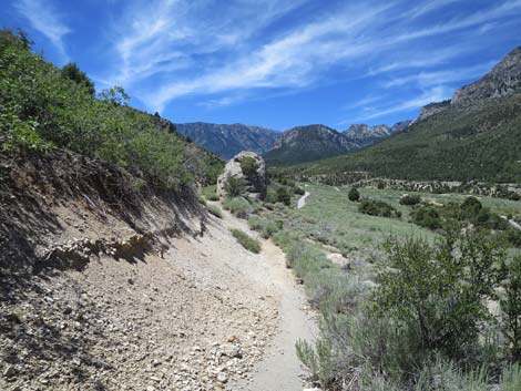
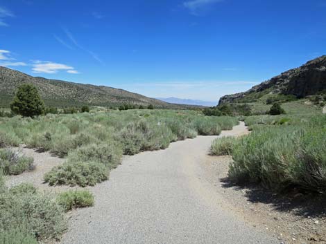
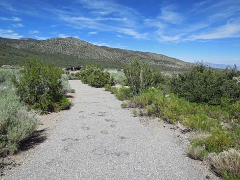
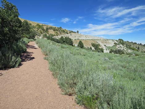
 Trail descends into Kyle Canyon Wash (view W) |
 Descending into Kyle Canyon Wash (view W) |
 Descending into Kyle Canyon Wash (view W) |
 Trail descends into Kyle Canyon Wash (view SW) |
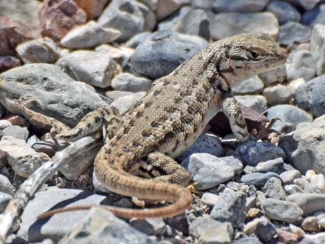 Northern Sagebrush Lizard along the trail |
 The Kunav Huveep Trail turns left ahead (view SW) |
 The Kunav Huveep Trail turns left (view SW) |
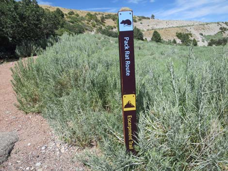
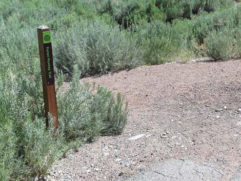 Trail marker: The Kunav Huveep Trail (view S) |
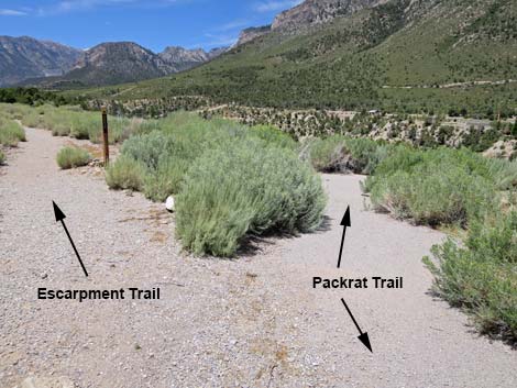
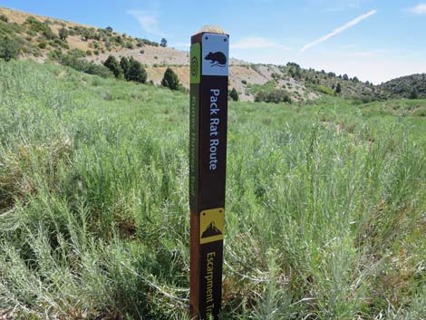 Other side of trail marker: Pack Rat, Escarpment trails (view E) |
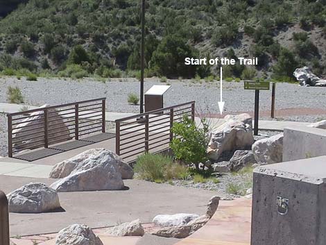
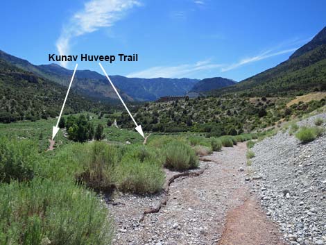
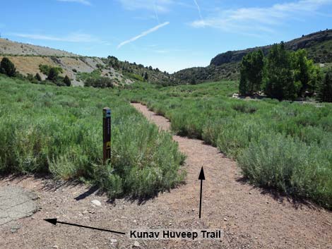 The Kunav Huveep Trail head east on red gravel (view E) |
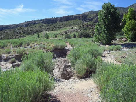 In July 2019, the trail was washed out (view SE) |
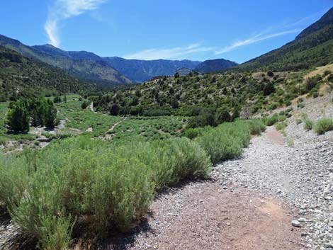
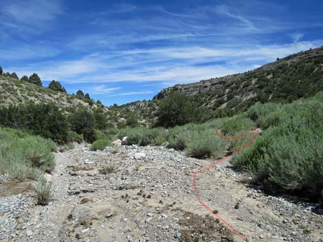
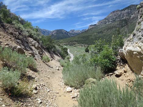
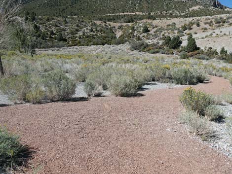
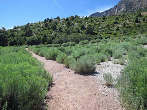
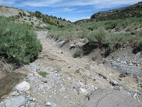 The trail goes down the wash (view E) |
 The trail runs down the wash (view E) |
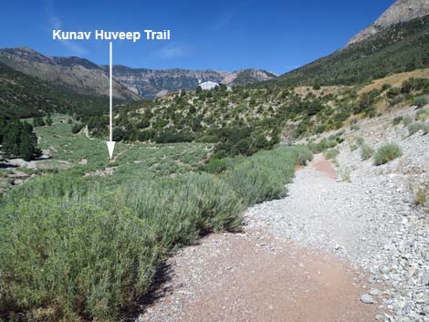
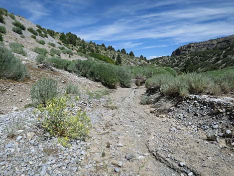
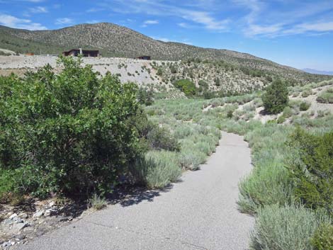
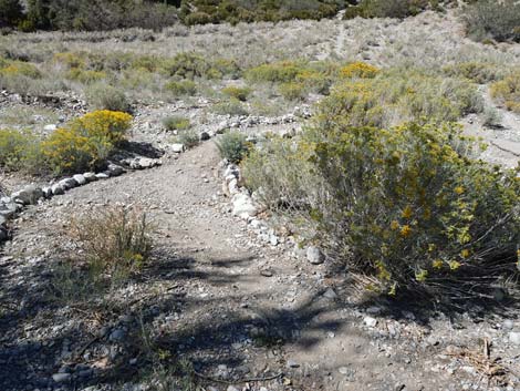
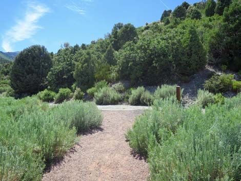
 Before reaching trees, the trail exits the wash to the right (view E) |
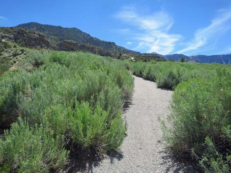 After winding through bushes, hikers find the paved trail (view S) |
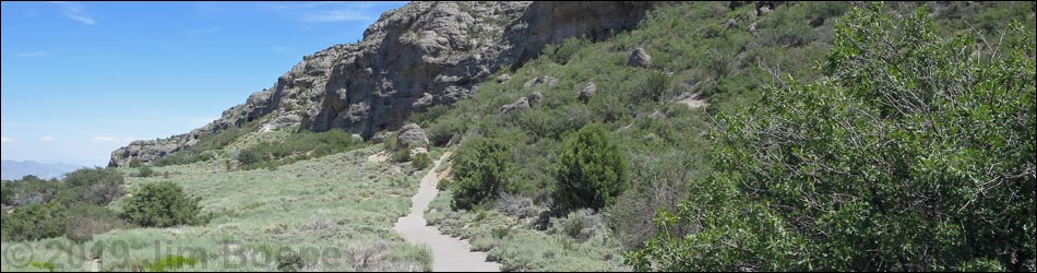
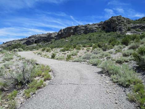
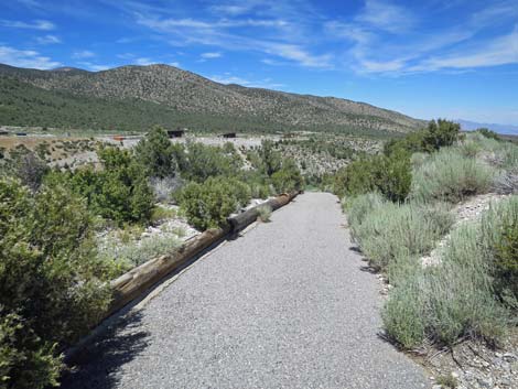
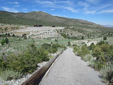
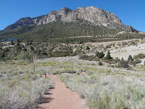
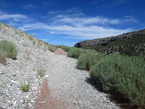
 The trail runs steeply up the hillside to the cliffs (view S) |
 The trail runs steeply up the hillside to the cliffs (view S) |
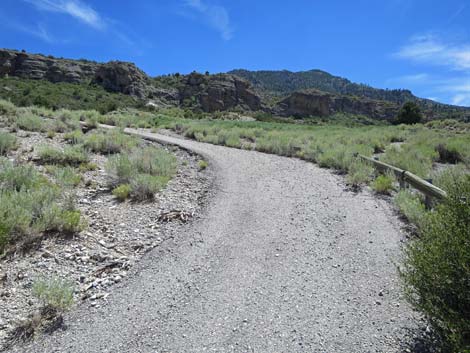 The trail runs steeply up the hillside to the cliffs (view S) |
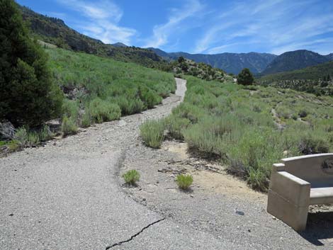 A bench provides a place to stop and rest (view S) |
 The trail runs steeply up the hillside to the cliffs (view S) |
 The trail runs steeply up the hillside to the cliffs (view S) |
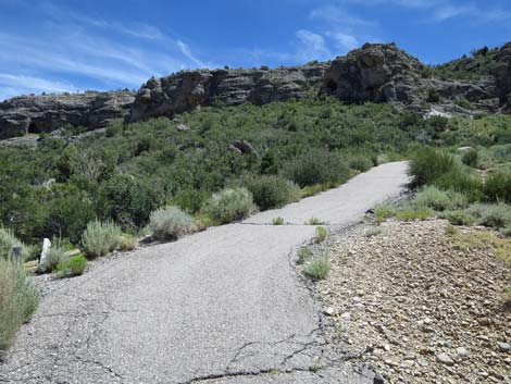 The trail runs steeply up the hillside to the cliffs (view S) |
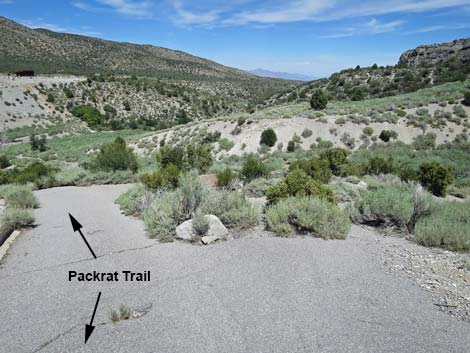
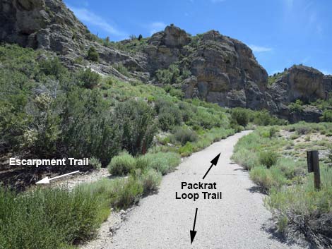 Packrat Trail at east end of Escarpment Trail (view SW) |
 The trail bends to the right under the cliffs (view SW) |
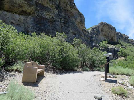 Approaching a bench and the Cold War exhibit (view SW) |
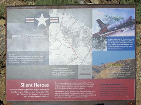 Sign: Silent Heroes of the Cold War |
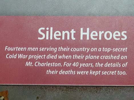 Close-up of sign: Silent Heroes of the Cold War |
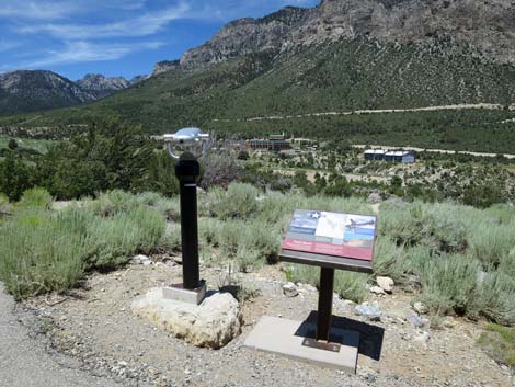 Telescope to see the plane crash site atop Mt Charleston (view NW) |
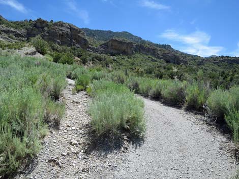
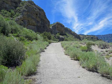
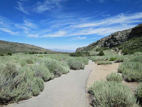
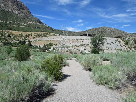
 On gentle slopes now, the trail runs beneath the cliffs (view W) |
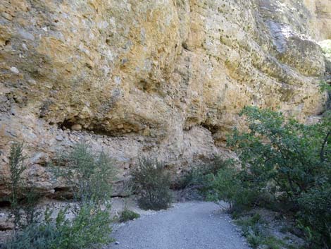 The trail enters a shady alcove where packrats live (view SW) |
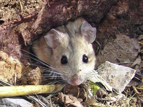 Cute little Desert Woodrat, also known as a Packrat |
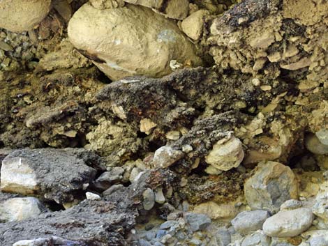 Packrat midden (view SE) |
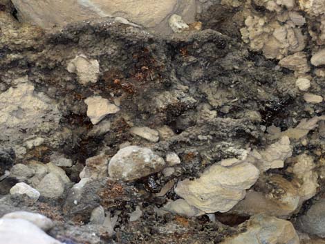 Packrat (Desert Woodrat) midden (view SE) |
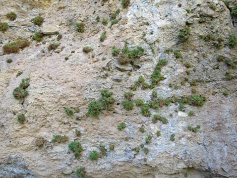 Interesting cliff-loving plant community under the alcove (view S) |
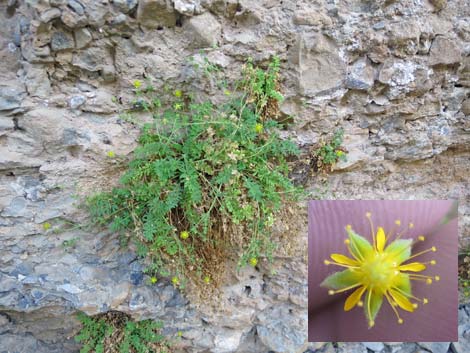 A fairly rare plant with interesting flowers: Jaeger's Mousetail |
 Exiting the alcove, the trail continues across the hillside (view N) |
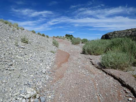
 Part of the paved trail is covered with gravel (view W) |
 One gets the impression that the boulder fell recently (view W) |
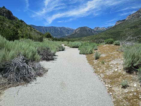 The paved trail resumes on a gentle grade (view W) |
 The Packrat Trail passes the west end of the Escarpment Trail |
 The Packrat Trail loops back towards the east (view E) |
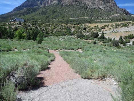
 Gentle downhill slopes heading east (view E) |
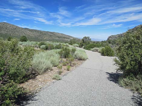 Gentle downhill slopes heading east (view E) |
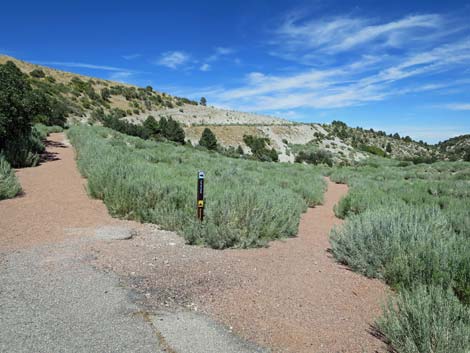
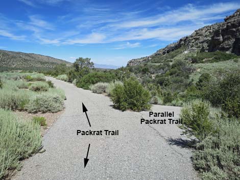 The Packrat Trail splits; main trail stays left (view NE) |
 Staying left on the main trail (view NE) |
 The Packrat Trail descends steeply (view NE) |
 The Packrat Trail descends steeply (view NE) |
 The Parallel Trail rejoins the main Packrat Trail (view NE) |
 The Packrat Trail continues to descend steeply (view NE) |
 Packrat Trail continues to descend steeply (view NE) |
 Paved trail ends; hikers continue down red-gravel trail (view N) |
 Packrat Trail continues on red-gravel trail (view N) |
 Packrat Trail approaching Kunav Huveep Trail (view N) |
 Packrat Trail turn right onto Kunav Huveep Trail (view N) |
 More to come ... |
 Returning into the bottom of Kyle Canyon (view N) |
 Kunav Huveep Trail crossing Kyle Wash (view N) |
 Kunav Huveep Trail continues across the wash (view NW) |
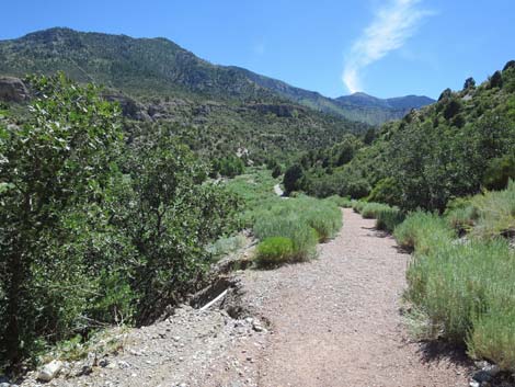
 Kunav Huveep Trail approaching a trail junction (view W) |
 Trail marker seen before (view N) |
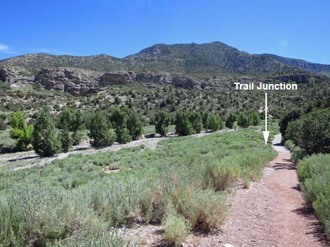
 Kunav Huveep Trail turns at trail junction and goes uphill (view NE) |
 Kunav Huveep Trail climbing out of the canyon (view NE) |
 Kunav Huveep Trail climbing the hillside (view E) |
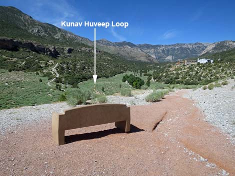
 The bench at the top comes into view (view E) |
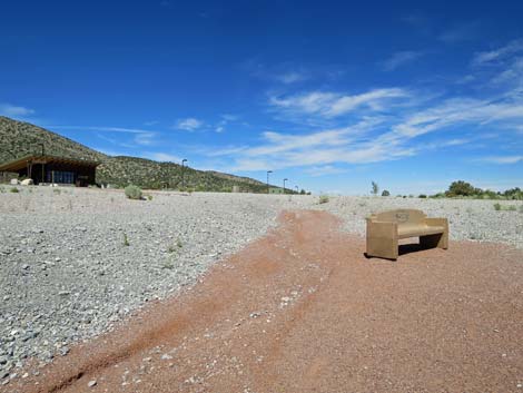 Returning to the bench (view NE) |
 The Visitor Center building is visible from the bench (view N) |
 Returning towards the Visitor Center (view N) |
 In case you missed it: that's the Visitor Center (view NW) |
 Returning to the outdoor amphitheater (view N) |
Happy Hiking! All distances, elevations, and other facts are approximate.
![]() ; Last updated 240329
; Last updated 240329
| Hiking Around Mt Charleston | Hiking Around Las Vegas | Glossary | Copyright, Conditions, Disclaimer | Home |