Hiking Around Las Vegas, Mount Charleston Area, Lovell Canyon
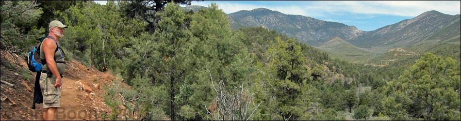
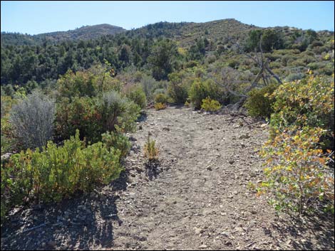
 Trailhead parking (view NW) |
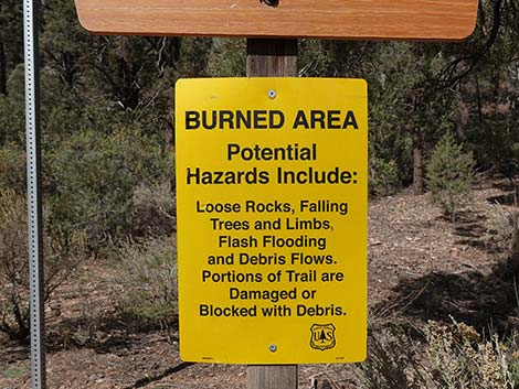
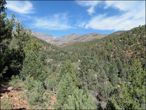
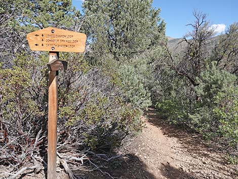
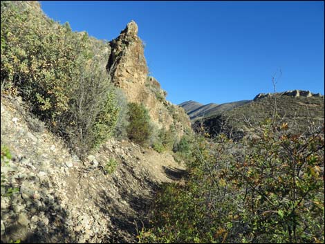
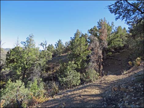
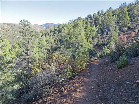
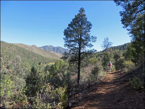
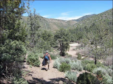
Overview Lovell Canyon Trail is a fairly easy, 5.6-mile partial-loop trail in the pinyon-juniper forest at the head of Lovell Canyon, a little visited area south of Griffith Peak and Harris Mountain in the La Madre Mountain Wilderness Area. Much of the trail runs through forested lands providing plenty of shade for desert hikers, but parts run out into old burn areas, and while warmer, provide grand views up and down Lovell Canyon. This trail was recently built by the U.S. Forest Service. I commend the engineers for laying out a nice trail, and I especially commend the crews who worked so hard to build a trail for the rest of us. Link to Area Map, Hiking Map South, or Hiking Map North. |
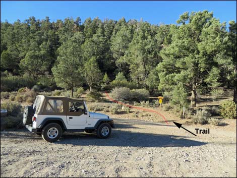
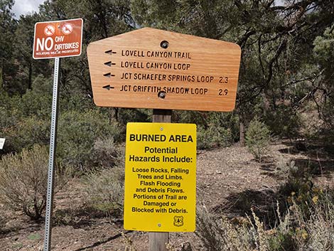
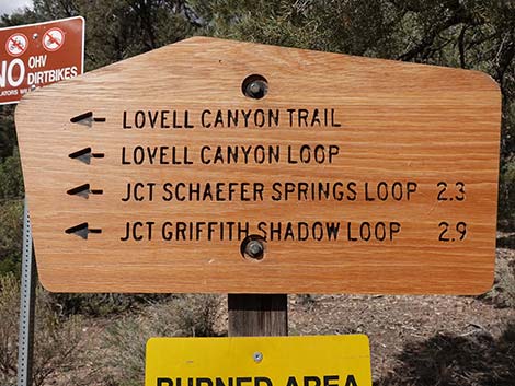
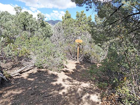
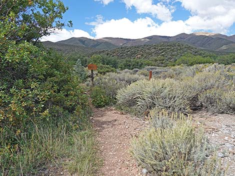
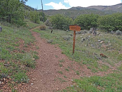
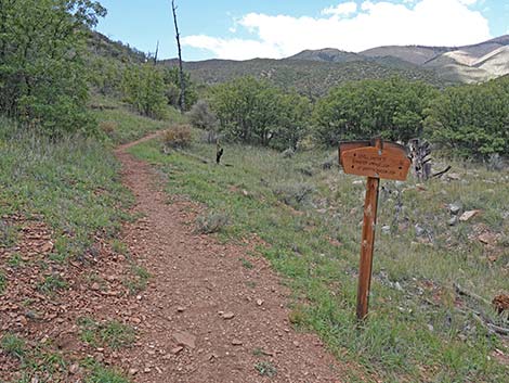
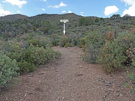
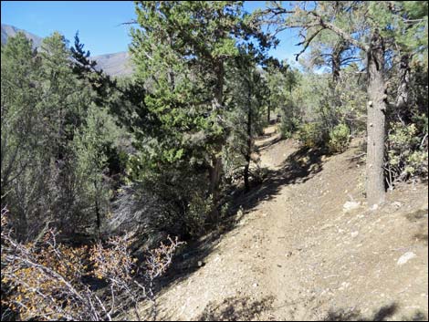
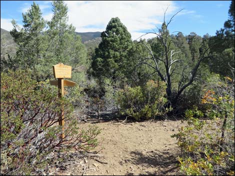
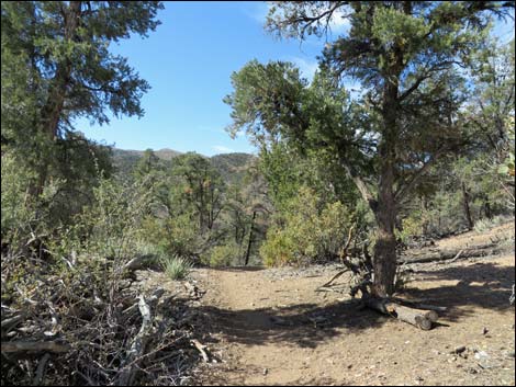
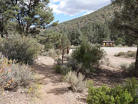
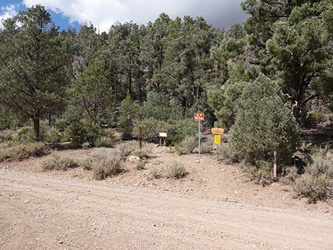 Start to the trail with signs (view N) |
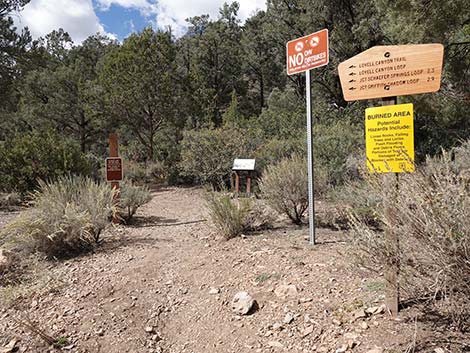
Watch Out Other than the standard warnings about hiking in the mountains, this trail is pretty safe and without unusual hazards. The trail is not very strenuous, making it a nice way to hike at higher elevations with few oxygen-deficit issues. While hiking, please respect the land and the other people out there, and try to Leave No Trace of your passage. Also, even though this hike is short, it is remote, so be sure to bring the 10 Essentials. This hike runs near Private Property and into the La Madre Mountain Wilderness Area, so please pay particular attention to taking care of the land. |
 |
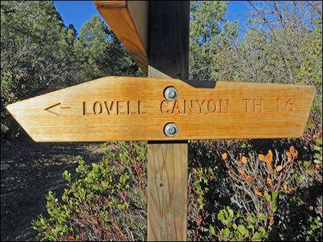
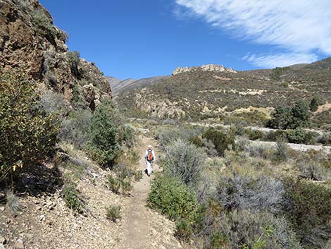
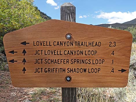
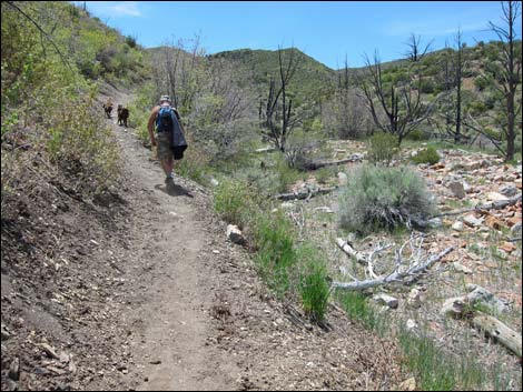
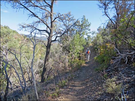
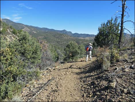
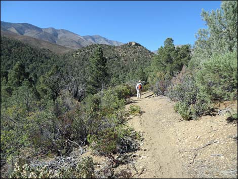
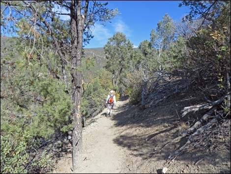
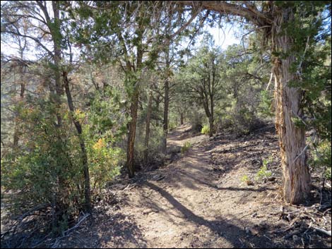
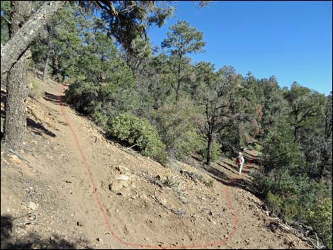
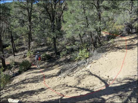
Getting to the Trailhead This hike is located in Lovell Canyon up in the Spring Mountains National Recreation Area, about 1-1/4 hours southwest of Las Vegas. From town, drive south on I-15. Exit onto Highway 160 towards Pahrump. About three miles past Mountain Spring Summit, turn right onto Lovell Canyon Road. Drive north 11 miles to Lovell Summit Road. Turn left and drive 0.4 miles to Lovell Canyon Trailhead. The Hike From the trailhead (Table 1, Waypoint 01), the trail runs up across the hillside to the northwest at a fair grade. The trail winds about and switchbacks up the hillside, then runs northeast to a low saddle on a ridgeline (Wpt. 02). This finishes the longest steep section of the trail. |
 |
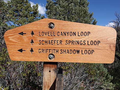
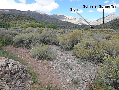
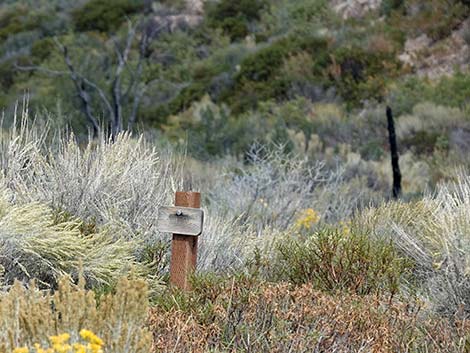
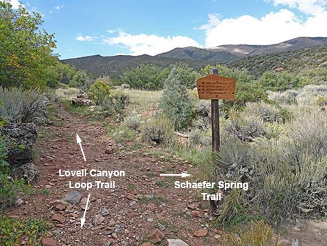
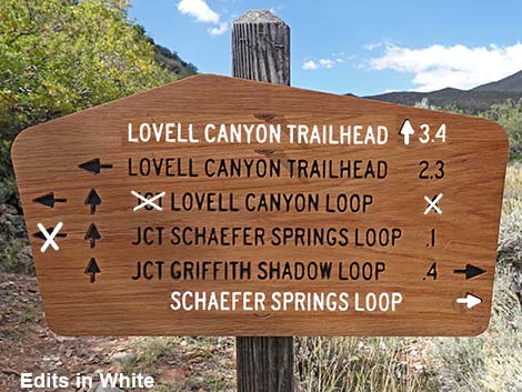
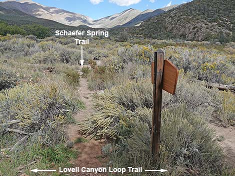
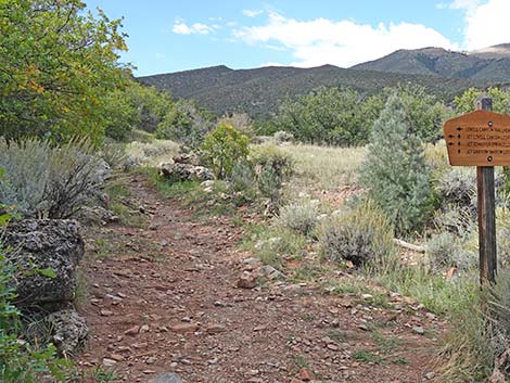
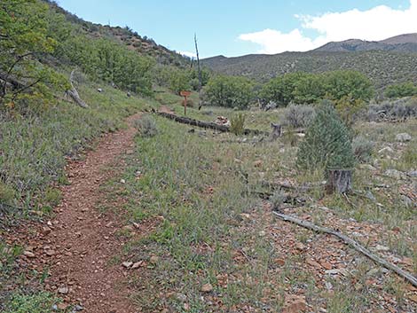
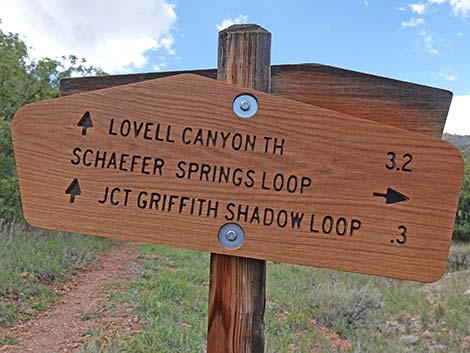
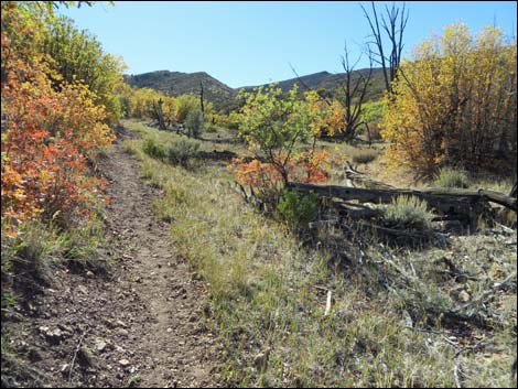
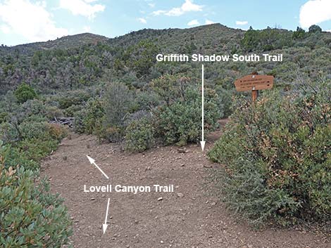
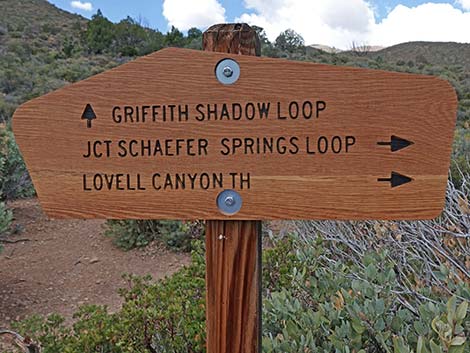
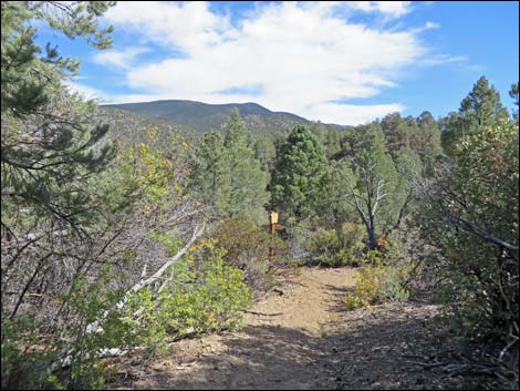
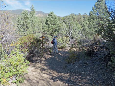
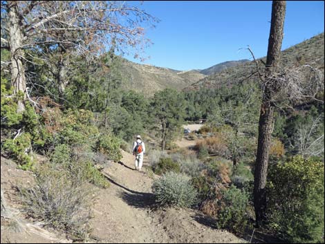
The trail crosses the saddle, turns north, and runs down and across the hillside, which overlooks the Torino Ranch. The trail rises and falls, descending gradually across the hillside, but more or less following the contour. At about 1.6 miles out, the trail forks (Wpt. 03) to begin the Lovell Canyon Loop. Continuing to the right, the trail runs north, winding in and out of every little side canyon while staying more or less on the contour. The trail runs close to private property (Wpt. 04), and hikers are reminded to respect the rights of the land owner. The trail continues north, eventually running down under rocky outcrops to the edge of Lovell Canyon Wash. The trail turns a corner to the west where sharp-eyed hikers might notice a trail sign out in the brushy wash: the Schaefer Spring Trail. A few yards past the turn, the trail arrives at a trail junction with a wooden sign (Wpt. 05). Unfortunately, the sign is confusing and not entirely correct (see photos below for corrections). The important issue here is that the east end of the Schaefer Spring Trail and the Griffith Shadow North Trail turn right here to head north across the wash. |
 |
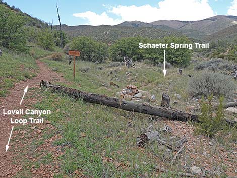
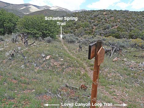
The Schaefer Spring Trail (about 1.6 miles long) runs north, bends west, and returns south back to the Lovell Canyon Trail a bit to the west of here. Continuing southwest on the Lovell Canyon Loop Trail, hikers quickly reach another trail junction (Wpt. 06). This junction is also marked with a two-sided wooden trail sign. This sign indicates that the Schaefer Spring Trail turns north. This is the west end of the Schaefer Spring Trail, which loops out north before turning back east and south to reconnect with the Lovell Canyon Trail at the previous trail junction (0.11 miles back). This sign is a little confusing too, but text on the backside of the sign helps. |
 |
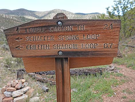
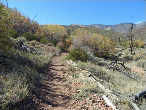
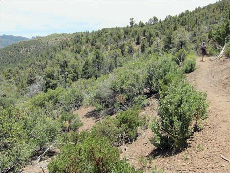
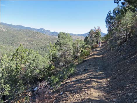
Continuing southwest, the Lovell Canyon Trail climbs at a moderate grade onto a low saddle and another trail junction (Wpt. 07). The Lovell Canyon Trail continues downhill to the south (left), while the Griffith Shadow South Trail (this is now a loop) runs uphill to the northwest. This trail junction marks the high point on the Lovell Canyon Trail. This sign should indicate that the trailhead can be reached in either direction, not just to the north. The Lovell Canyon Trail runs more or less south, staying on the contour while winding in and out of several side canyons. This part of the trail is mostly under the trees, so there is plenty of shade. The trail eventually winds around to run northeast and reaches the first fork (Wpt. 03) encountered while hiking out, thus closing the loop. The hike then runs south on hillsides overlooking Lovell Canyon. Eventually the Torino Ranch comes into view, and the trail runs west over the low saddle (Wpt. 02) and switchbacks down to the trailhead (Wpt. 01). |
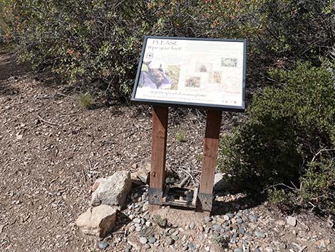 Boot brushing station: prevent the spread of weeds |
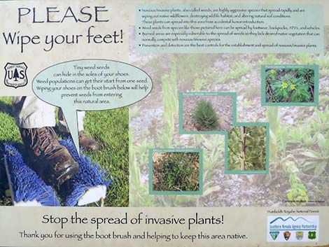 Sign: brush boots to prevent the spread of weeds |
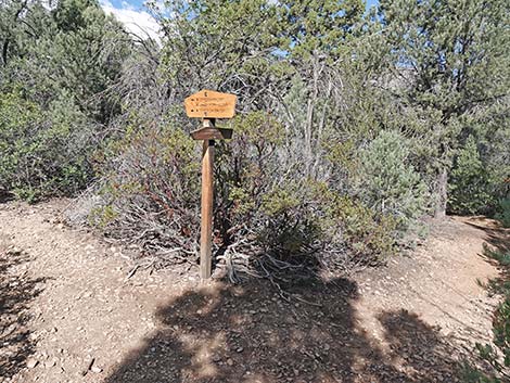
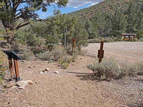
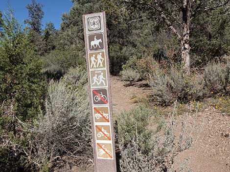 Trail sign |
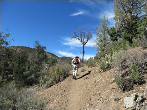
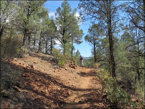
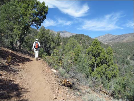
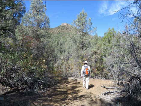
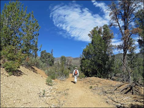
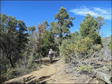
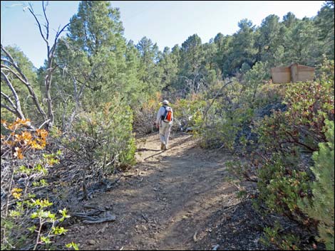
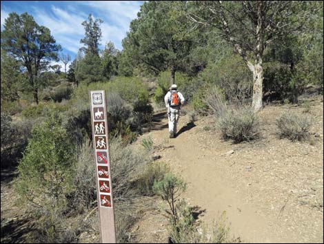 Hiker starting up the trail (view NW) |
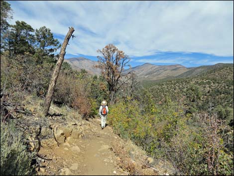
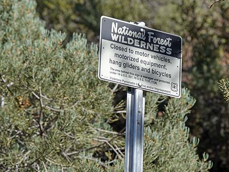 Entering La Madre Mountain Wilderness Area (view NW) |
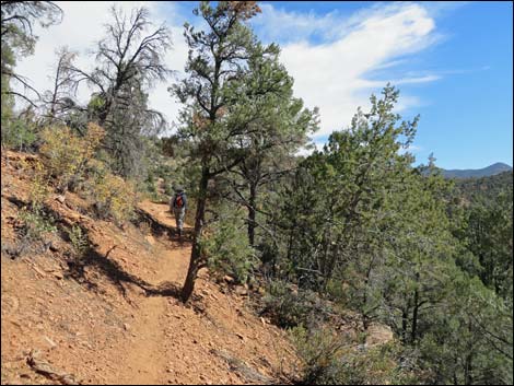
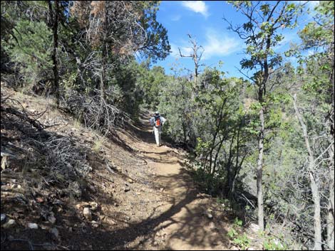
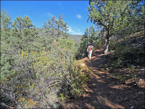
 Hiker on one of the steeper parts of the trail (view W) |
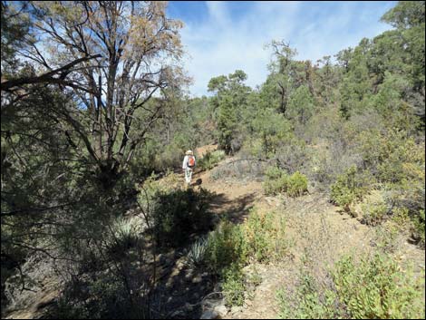
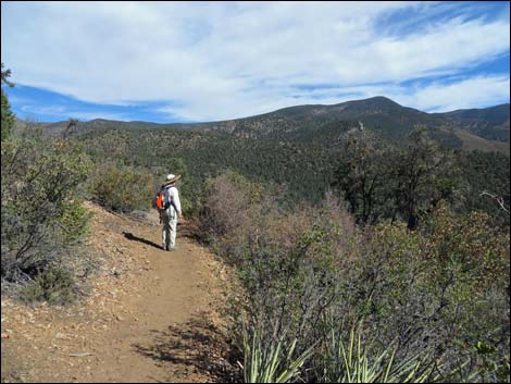
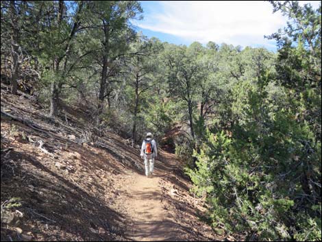
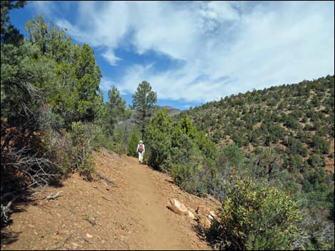
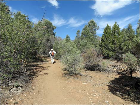
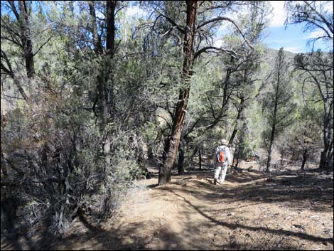
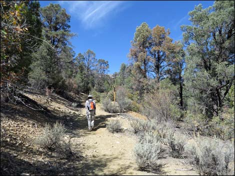
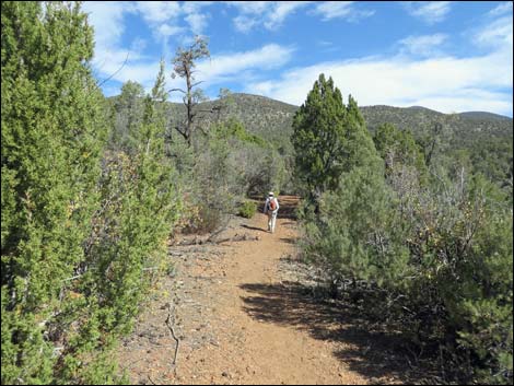
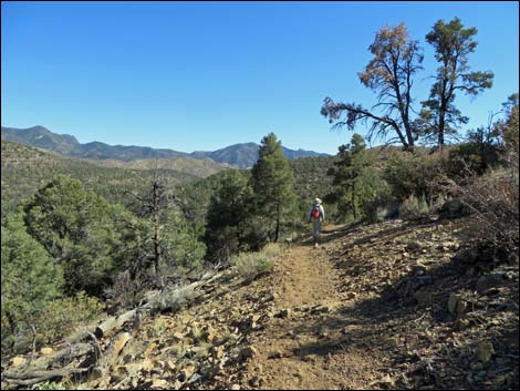
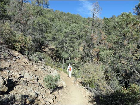
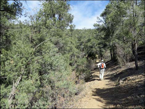 Hiker on gentle trail (view NW) |
 Hiker on switchbacks (view NE) |
 Hiker on switchbacks (view NE) |
 Hiker on switchbacks (view NW) |
 Hiker approaching the ridgeline (view NE) |
 Hiker arriving at highpoint on ridgeline (view NE) |
 Hiker after crossing the ridgeline (view NE) |
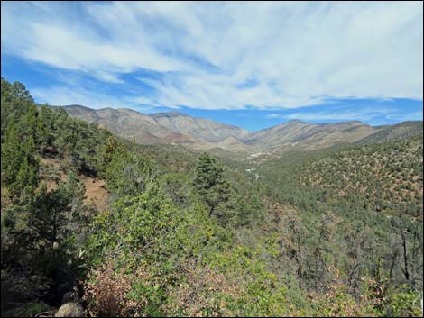
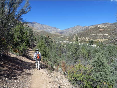
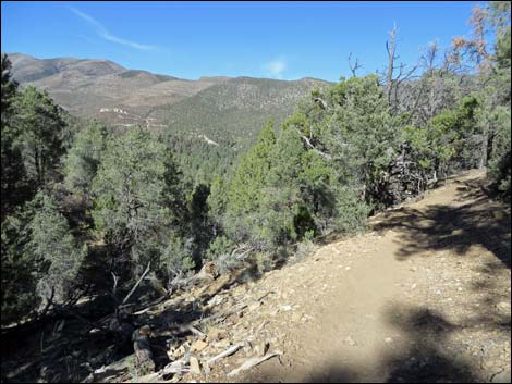
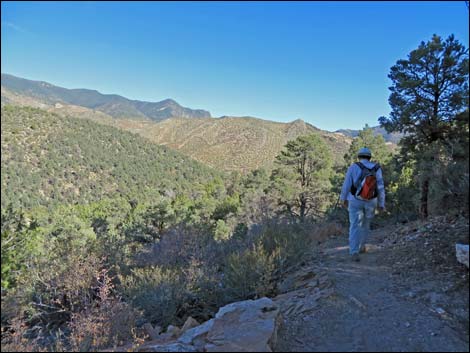
 Scenic overlook (view NE) |
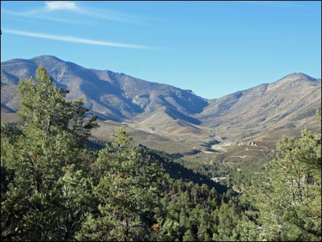
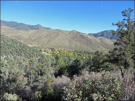
 Torino Ranch (view E from overlook) |
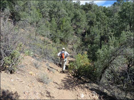
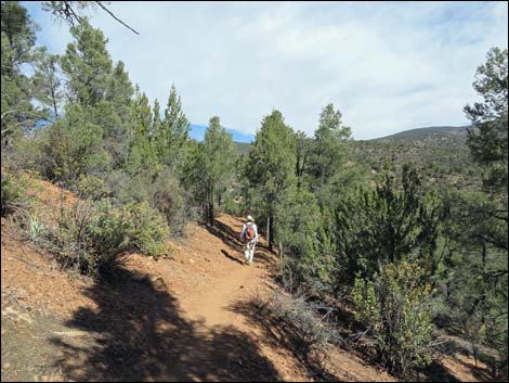
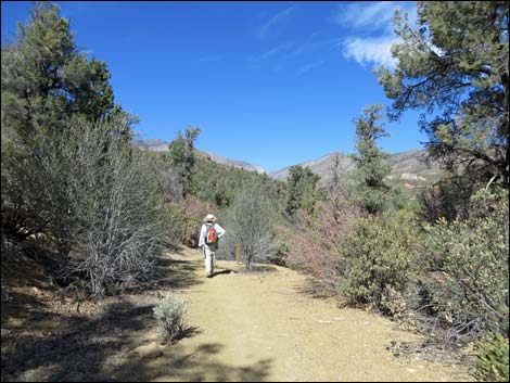
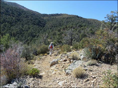
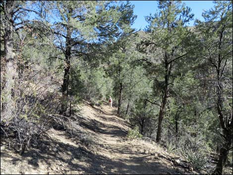
 Hiker descending gentle trail (view N) |
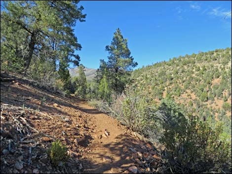
 Trail-side vista (view N into Carpenter One fire zone) |
 Trail-side view north (zoom towards Harris Saddle) |
 |
 |
 |
 |
 |
 |
 |
 |
 |
 |
 |
 |
 Hiker arriving at fork in the trail; start of the loop (view N) |
 Trail signs (view N) |
 Trail signs (view N) |
 Trail signs (view W) |
 Continuing past trail junction (view N) |
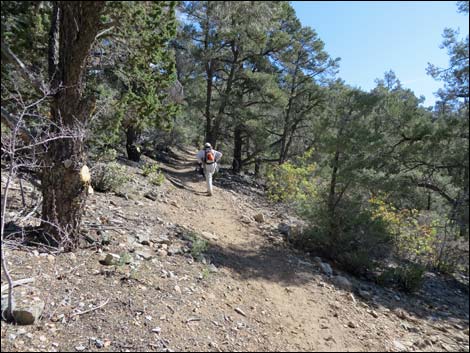
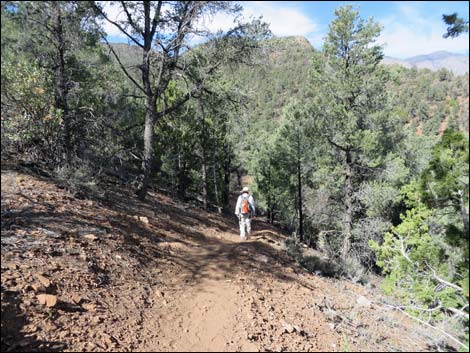
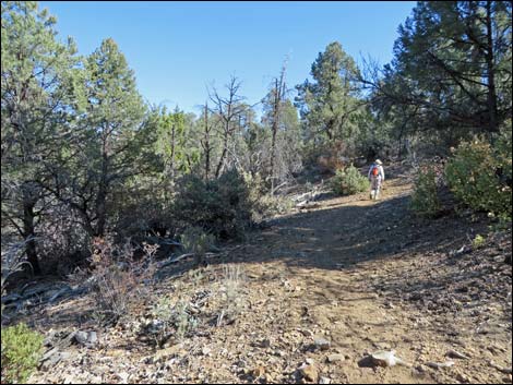
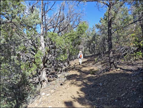
 Hiker on trail (view N) |
 |
 |
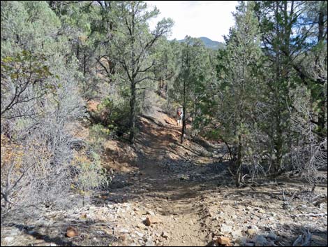
 Trail joins old road at edge of private property (view N) |
 Trail follows old road at edge of private property (view N) |
 Craggy peak and moon (view W) |
 Trail follows old road at edge of private property (view N) |
 Trail follows old road at edge of private property (view N) |
 Trail follows old road at edge of private property (view N) |
 Trail departs old road at edge of private property (view N) |
 Hiker on trail (view N) |
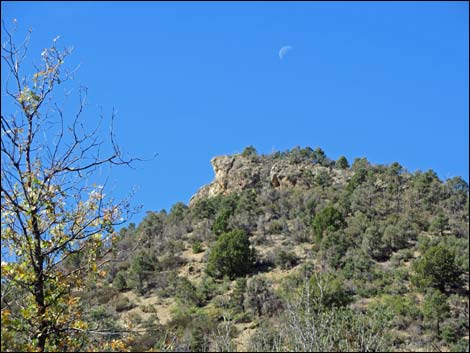
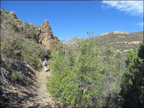
 Rocky crag along the trail (view N) |
 Below rocky crag, hiker approaching trail junction (view N) |
 At corner, Schaefer Spring Trail and sign come into view (view N) |
 Zoom: Schaefer Spring Trail sign out in the wash (view N) |
 Bending west, trail junction sign comes into view (view NW) |
 Schaefer Spring Trail branches to the right (view W) |
 Although new, this sign is still wrong (view W) |
 Sign edited; a map might be better here (view W) |
 Schaefer Spring Trail (view N from Lovell Canyon Loop Trail) |
 Lovell Canyon Loop Trail continues past the trail junction (view W) |
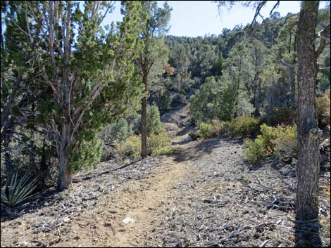
 Lovell Canyon Loop Trail continues (view W) |
 Lovell Canyon Trail approaching west end of Schaefer Spring Trail |
 Lovell Canyon Trail at west end of Schaefer Spring Trail (view W) |
 Trail sign (view W) |
 Schaefer Spring Trail (view N from Lovell Canyon Trail) |
 Back-side of trail sign (view E) |
 Lovell Canyon Trail continuing past Schaefer Spring Trail |
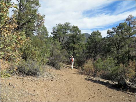
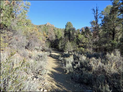
 Lovell Canyon Trail continues (view W) |
 Lovell Canyon Trail with fall colors (view W) |
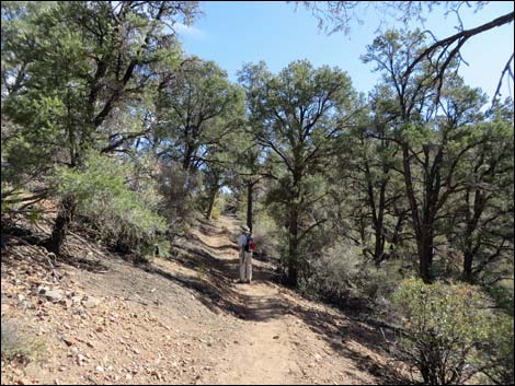
 Hiker on Lovell Canyon Trail climbing towards saddle (view SW) |
 Lovell Canyon Trail approaching saddle on ridge (view SW) |
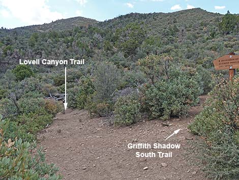
 Lovell Canyon Trail approaching trail junction (view SW) |
 Lovell Canyon Trail at Griffith Shadow South Trail (view SW) |
 Griffith Shadow South Trail sign (view N) |
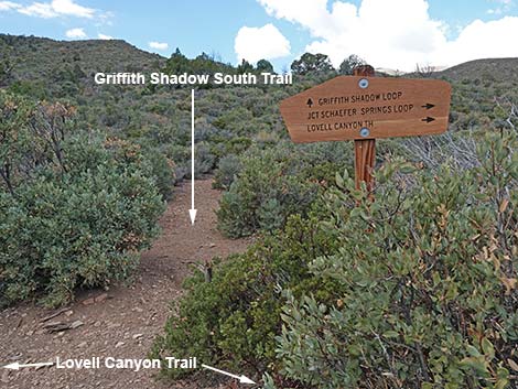 Griffith Shadow South Trail (view W from Lovell Canyon Trail) |
 Lovell Canyon Loop Trail continuing past Griffith Shadow South Trail |
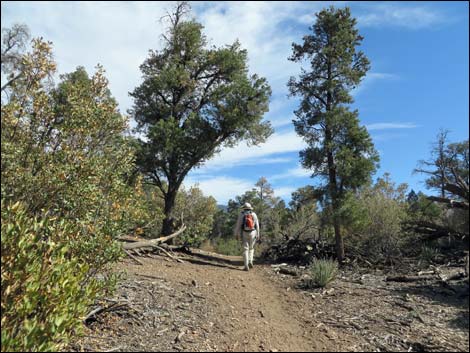
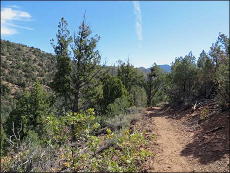
 Lovell Canyon Trail continues across open hillsides (view S) |
 Hiker continuing into the woods (view S) |
 |
 |
 |
 |
 |
 |
 |
 |
 |
 |
 |
 |
 |
 |
 Returning to the first fork in the trail (view E) |
 Hiker at trail junction: closing the loop (view E) |
 Trail junction signs (view E) |
Trail sign (view W) |
 Hiker continuing past trail junction (view S) |
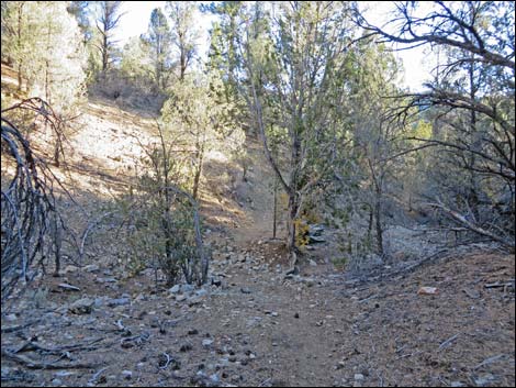
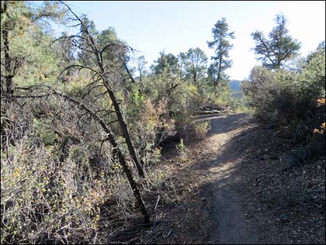
 Trees and a bit of rocky trail (view S) |
 |
 |
 |
 |
 |
 |
 |
 |
 |
 |
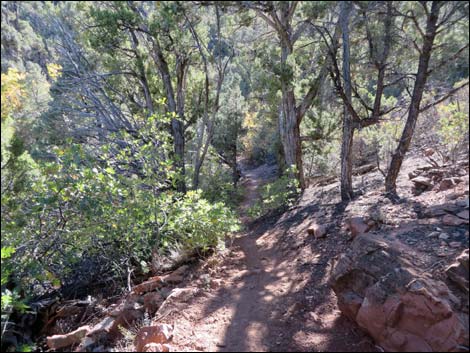
 Descending through the trees (view W) |
 Hiker descending switchbacks (view E) |
 Hiker descending another switchback (view W) |
 Hiker descending across the hillside (view E) |
 |
 |
 Descending towards the trailhead (view SE) |
 Descending towards the trailhead (view SE) |
 Approaching the trailhead (view SE) |
 Returning to the trailhead (view SE) |
Table 1. Hiking Coordinates Based on GPS Data (NAD27; UTM Zone 11S). Download Hiking GPS Waypoints (*.gpx) file.
| Wpt. | Location | UTM Easting | UTM Northing | Elevation (ft) | Point-to-Point Distance (mi) | Cumulative Distance (mi) | Verified |
|---|---|---|---|---|---|---|---|
| 01 | Trailhead | 627507 | 4003172 | 5,958 | 0.00 | 0.00 | Yes |
| 02 | Ridge | 627447 | 4003435 | 6,250 | 0.50 | 0.50 | Yes |
| 03 | Trail Forks (start the loop) | 626728 | 4004447 | 6,244 | 1.09 | 1.59 | GPS |
| 04 | Private Property | 626670 | 4004828 | 6,203 | 0.34 | 1.93 | GPS |
| 05 | Trail Junction-1 (Schaefer Spring East) | 626510 | 4005299 | 6,237 | 0.36 | 2.29 | GPS |
| 06 | Trail Junction-2 (Schaefer Spring West) | 626367 | 4005233 | 6,290 | 0.11 | 2.40 | GPS |
| 07 | Trail Junction-3 (Griffith Shadow South) | 625998 | 4004898 | 6,459 | 0.36 | 2.76 | GPS |
| 03 | Trail Forks (closing the loop) | 626728 | 4004447 | 6,244 | 1.25 | 4.01 | GPS |
| 02 | Ridge | 627447 | 4003435 | 6,250 | 1.09 | 5.10 | GPS |
| 01 | Trailhead | 627507 | 4003172 | 5,958 | 0.50 | 5.60 | GPS |
Happy Hiking! All distances, elevations, and other facts are approximate.
![]() ; Last updated 240329
; Last updated 240329
| Hiking Around Mt Charleston | Hiking Around Las Vegas | Glossary | Copyright, Conditions, Disclaimer | Home |