Backroads Around Las Vegas, Lake Mead National Recreation Area
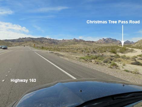
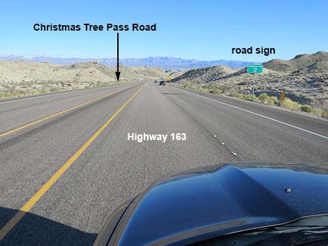 Highway 163 approaching Christmas Tree Pass Road (view E) |
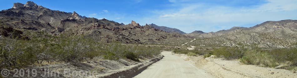
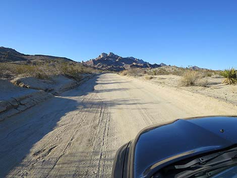
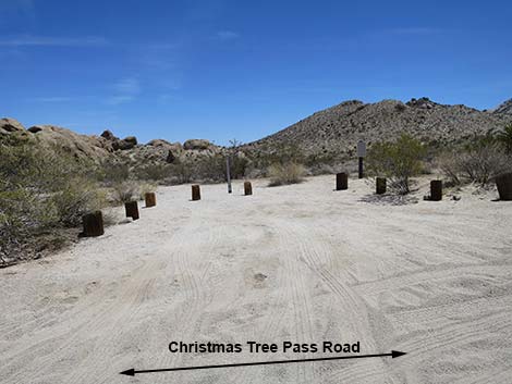
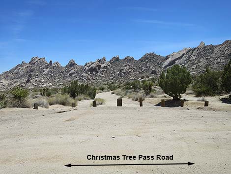
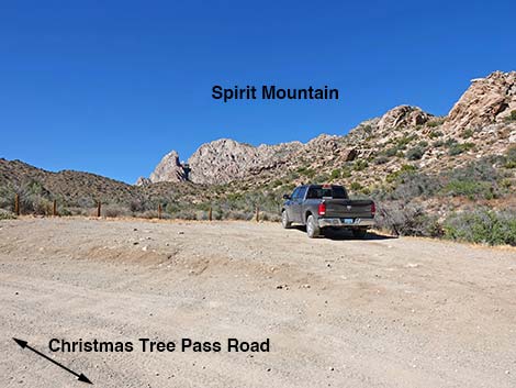
Overview Christmas Tree Pass Road (NPS Road 20) is a backcountry road that connects Highway 163 west of Laughlin with Highway 95 south of Searchlight, but this should not be considered a short-cut. From Highway 163, the road runs north climbing into the Newberry Mountains. At about 2 miles out, a spur road left runs up to Grapevine Canyon Trailhead. Christmas Tree Pass (CTP) Road continues north, then west, providing close-up views of the white granite of Spirit Mountain, an area of particular importance to local native tribes. The now narrow and winding road eventually climbs over Christmas Tree Pass and runs west out of the Newberry Mountains and down to Highway 95. CTP Road starts in Lake Mead NRA and runs in a narrow corridor between the Bridge Canyon Wilderness Area on the left and the Spirit Mountain Wilderness Area on the right, most of which is also within Lake Mead National Recreation Area. Near Christmas Tree Pass, the road leaves Lake Mead NRA and runs out across Avi Kwa Ame National Monument until reaching Highway 95. |
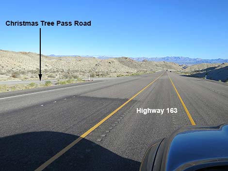 Highway 163 at Christmas Tree Pass Road (view E) |
Christmas Tree Pass Road traverses the lower slopes of Avi Kwa Ame (also known as Spirit Mountain). This mountain is considered to be among the most sacred places on Earth by at least 12 local Native American tribes, including the Mojave, Chemehuevi, some Southern Paiute communities and the Yuman-speaking river tribes along the Colorado and into Mexico. Despite the sacred nature of the area, Christmas Tree Pass is a traditional area for "decorating" California Juniper and Singleleaf Pinyon Pine trees with Christmas ornaments. Unfortunately, this material becomes trash over the months, and volunteers and agency personnel waste considerable time cleaning it up every year. Ornaments often fall off and break, leaving glass and plastic fragments for wildlife to step on, and tinsel becomes glittery trash that attracts hungry birds and desert tortoises, harming their digestive systems. This tradition should end. CTP Road provides access to Spirit Mountain, Sacatone Wash, and Grapevine Canyon, and hikes in the Spirit Mountain and Bridge Canyon wilderness areas. Link to map. |
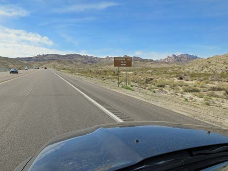 Highway 163 approaching Christmas Tree Pass Road (view W) |
Watch Out Other than the standard warnings about being in the desert, ...this is a graded, easy drive, but storms have a way of causing havoc with steep, tight turns the mountains. The road normally should be passable in 2WD vehicles, but drivers should inquire with NPS rangers about road conditions before driving. Tight turns and short visual distances on the one-lane sections make some curves dangerous, so always consider that someone, driving too fast, could be coming from the other direction. While out, please respect the land and the other people out there, and try to Leave No Trace of your passage. Also, even though this road is short, be sure to bring what you need of the 10 Essentials. Maps of approved backcountry roads are available online and at the Alan Bible Visitor Center. |
 Highway 163 at Christmas Tree Pass Road (view W) |
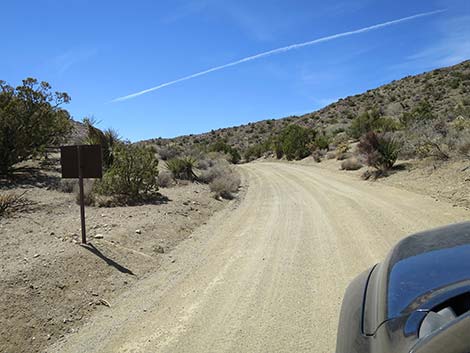
Getting to the Roadhead CTP Road starts within Lake Mead National Recreation Area, about 1:10 hours south of Las Vegas. From Las Vegas, drive south on Highway 95 to Searchlight. From the intersection of Highway 95 and Nipton Road (Highway 164) in downtown Searchlight, continue south 14.0 miles to Christmas Tree Pass Road, on the left. Watch for a road intersection sign and a left-turn lane. This is for the southbound direction. For the northbound direction, continue south 5.4 more miles on Highway 95 to Highway 163. Turn left towards Laughlin and drive east 13.0 miles to CTP Road, on the left (1.5 hours from Las Vegas). Watch for a road intersection sign, but be careful because there is no left-turn lane (the center lane is very narrow). If traffic is heavy, consider pulling off onto the right-hand shoulder and letting traffic pass before turning left (rather than stopping in the middle of a 70-mph highway). |
 Highway 163 at turning onto Christmas Tree Pass Road (view NE) |
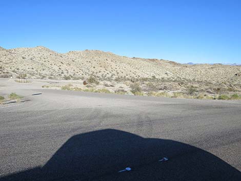
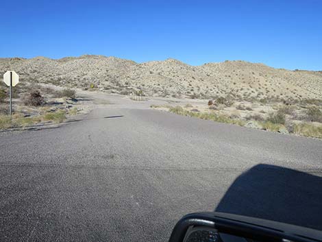
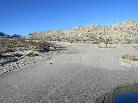
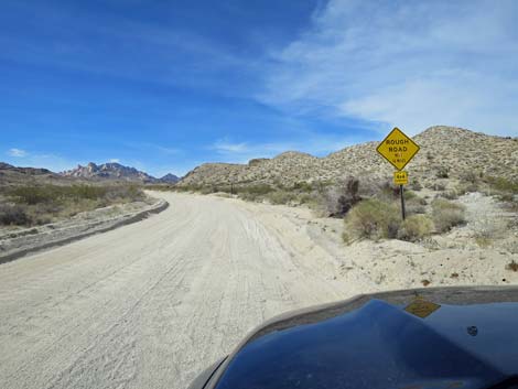
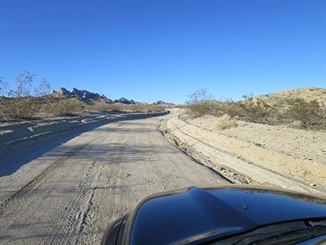
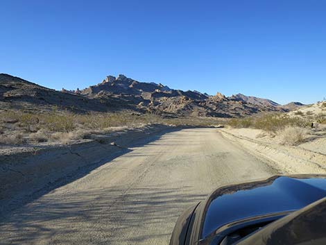
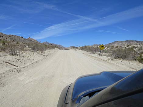
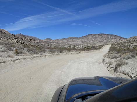
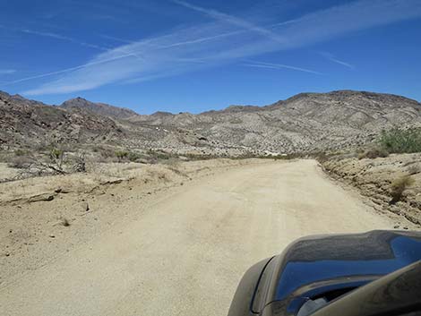
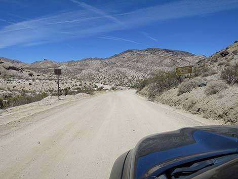
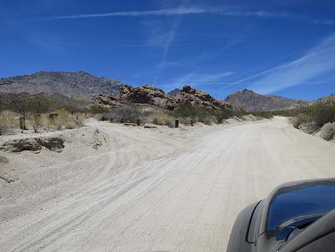
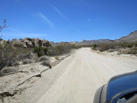
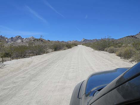
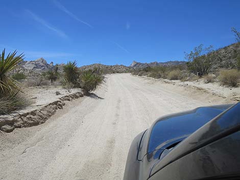
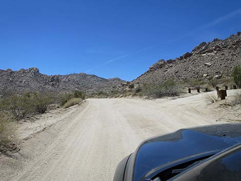
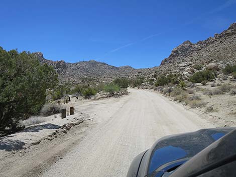
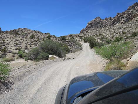
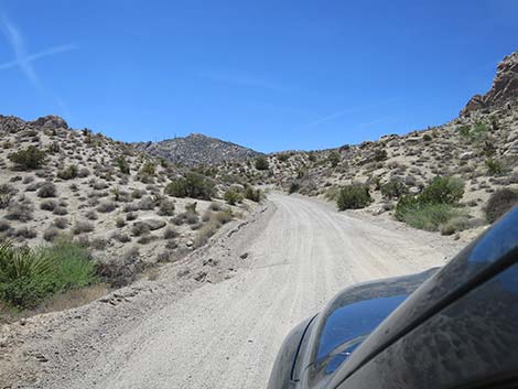
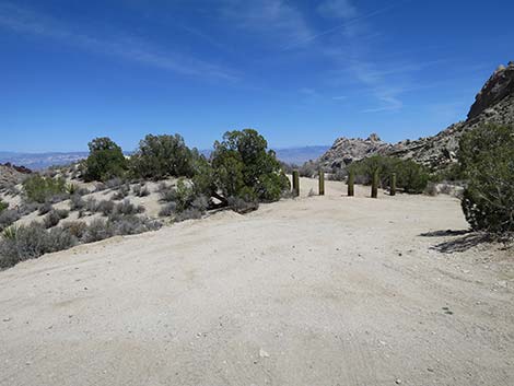
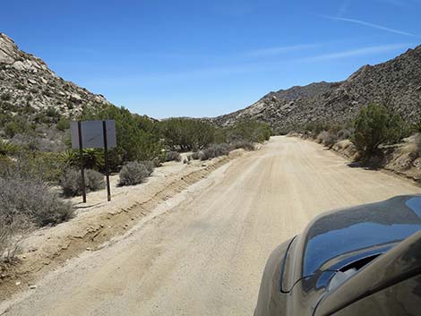
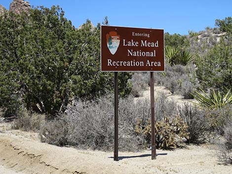
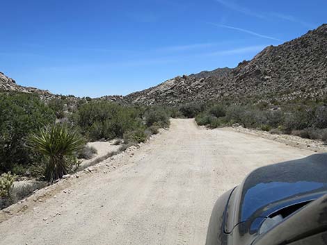
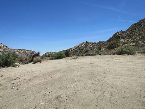
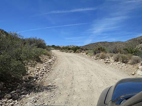
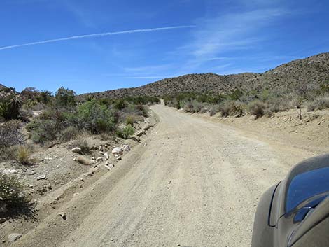
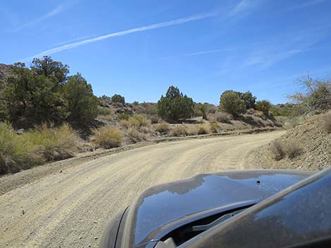
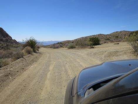
The Road From Highway 163 (Table 1, Site 0823), CTP Road runs north past a battery of information and caution signs, including signs for entering Lake Mead NRA, distances to various places, and a caution that 4WD is recommended for the rough road. Under some conditions, 4WD might be necessary, but normally the road is graded and suitable for carefully driven sedans (at least to Grapevine Canyon), although a medium-clearance vehicle probably would be better for the rest of the road over the mountains. Also from the highway, CTP Road enters a corridor between the Bridge Canyon Wilderness Area on the left (west) and Spirit Mountain Wilderness Area on the right (east). Savor this ride because this is about as close as it gets to driving inside a wilderness area. |
 Christmas Tree Pass Road (view N from Highway 163) |
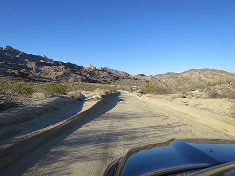
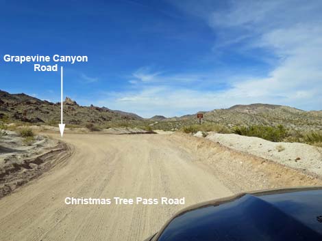
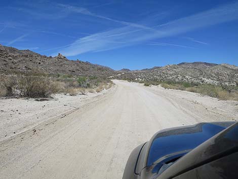
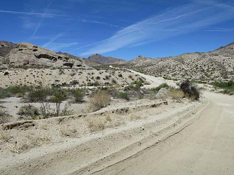
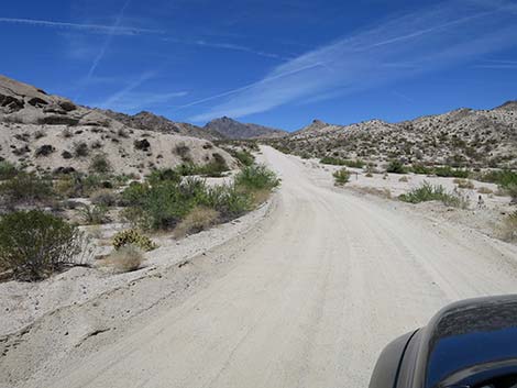
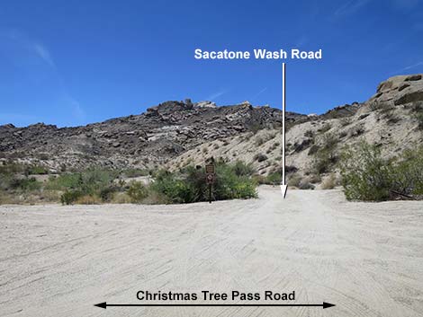
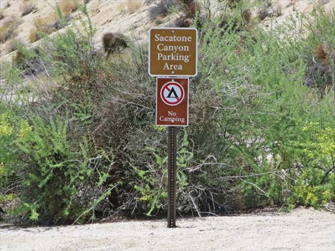
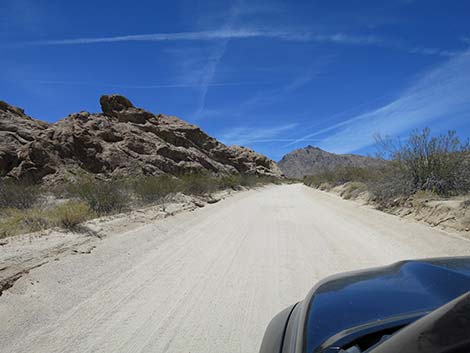
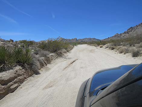
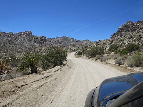
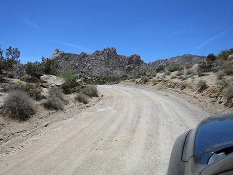
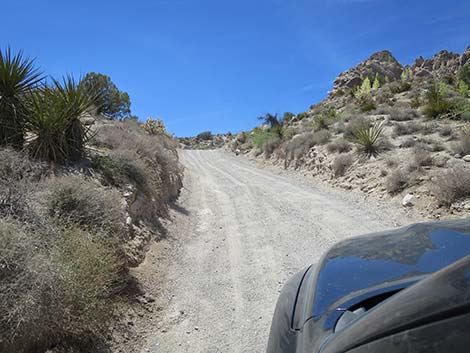
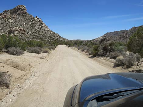
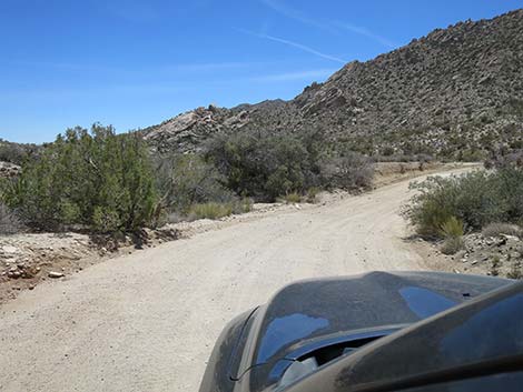
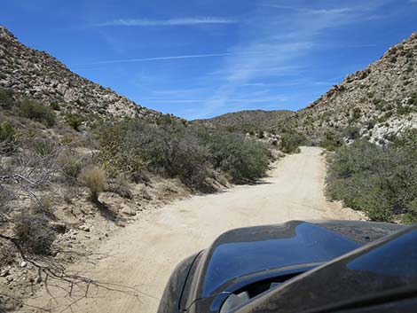
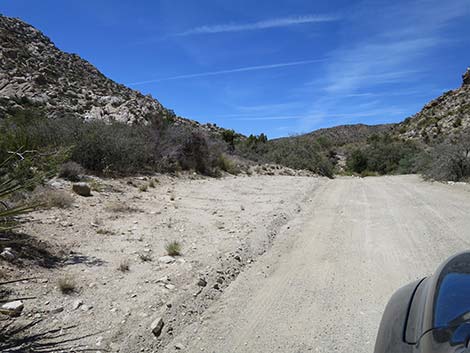
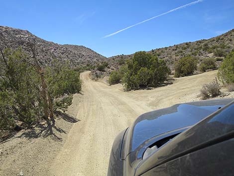
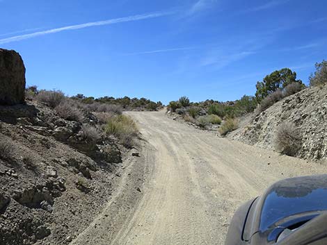
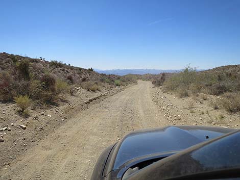
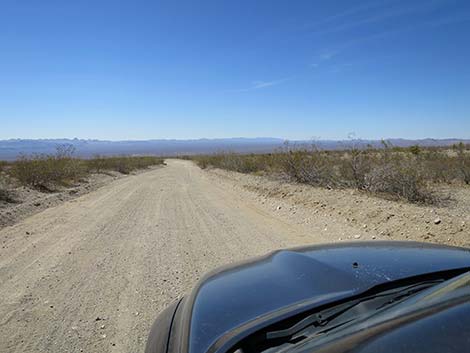
CTP Road winds up into the mountains as a fairly wide, sand-covered road where the washboards can get pretty rough. At about 1.8 miles out, the road reaches Grapevine Canyon Road (Site 0824), on the left. This road leads 300 yards to trailhead parking (Site 0825) for the popular hike to the amazing Grapevine Canyon petroglyph site. Continuing north past Grapevine Canyon Road, CTP Road winds higher into the mountains, but eventually drops to cross Sacatone Wash (3.0 miles out). Just across the wash, CTP Road arrives at a spur road (Site 1307) to the left, which provides access to Sacatone Wash trailhead parking (Site 1308). This trailhead provides access to hikes up and down Sacatone Wash, both of which lead into wilderness areas. |
 Christmas Tree Pass Road (view N from Highway 163) |
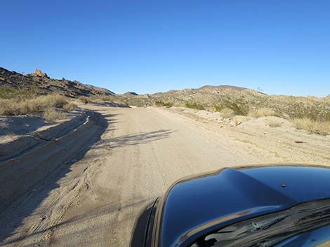
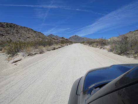
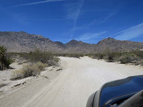
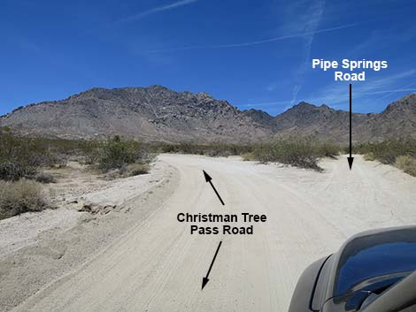
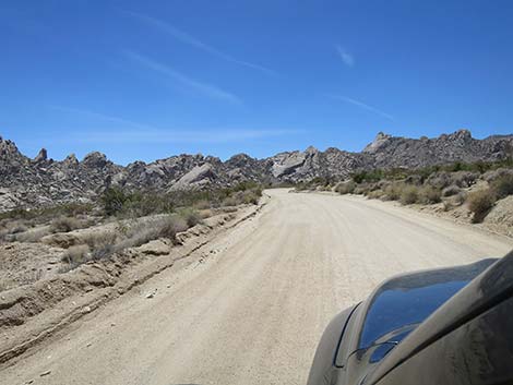
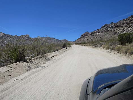
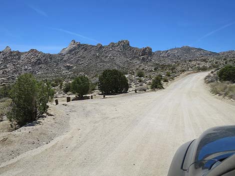
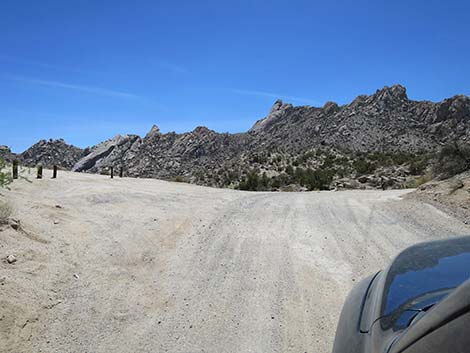
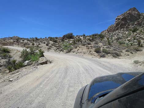
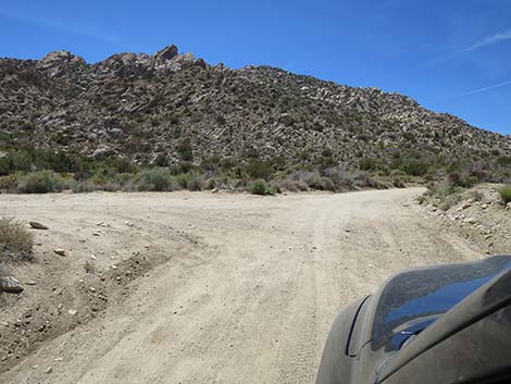
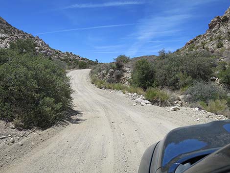
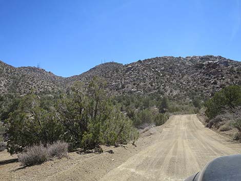
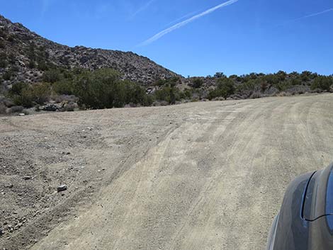
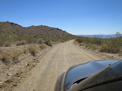
Continuing north past Sacatone Wash, CTP Road climbs higher into the mountains with towering peaks and granite all around. Parking areas provide hiker access to Bridge Canyon Wilderness Area on the left. Eventually Christmas Tree Pass Road passes a narrow spur road on the right. Here, Pipe Spring Road continues north about 0.4 miles to Pipe Spring Trailhead. This road might require 4WD. Just past Pipe Spring Road, CTP Road bends to the left and generally runs west for the duration of the ride. At about 6.3 miles out, CTP Road passes a parking area (Site 1311) on the left that serves as the trailhead for upper Sacatone Wash. With two vehicles, hikers can start here and hike down to the Sacatone Wash trailhead parking (Site 1308). Another parking area about 0.1 miles west serves the same purpose. |
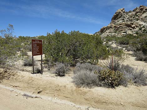
 First of the signs (view N) First of the signs (view N) |
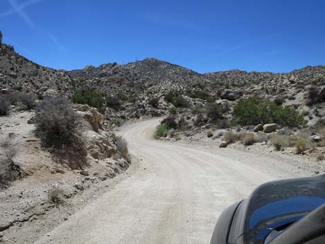
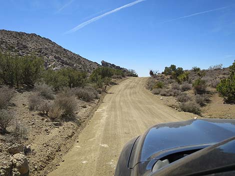
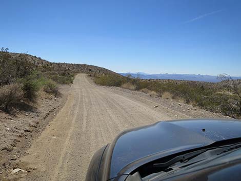
A bit farther out (6.6 miles), another parking area (Site 1312) on the left serves as a trailhead for a short walk (30 yards) to Bridge Canyon Overlook. This overlook is atop the knoll and provides great views to the south down across granite crags, but don't overlook the tall peaks towering behind the overlook. CTP Road winds westward onto a highpoint about 7.3 miles out. Here, the Sacatone Canyon Viewpoint parking area (Site 1313), on the left, provides great views down Sacatone Canyon to the east, and all around for that matter. From the Sacatone Canyon viewpoint, CTP Road drops to cross upper Grapevine Canyon (Site 1314). Here, trailhead parking provides access to a route that can be taken all the way to the Grapevine Canyon petroglyph trailhead (Site 0825). |
 Information sign (view N) |
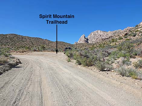
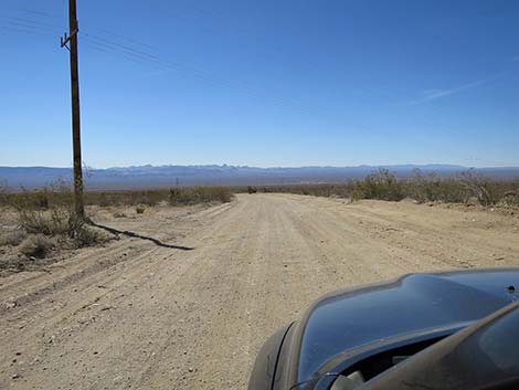
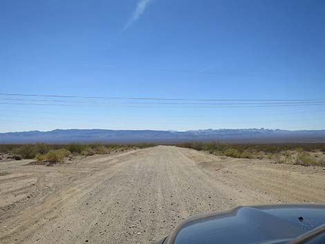
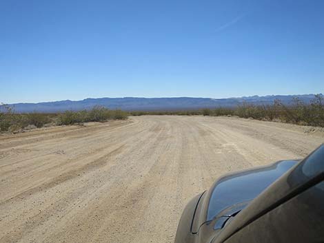
Now running northwest, CTP Road hugs the base of the mountains, passes Spirit Mountain trailhead parking (Site 1315), enters Avi Kwa Ame National Monument, and finally arrives atop Christmas Tree Pass (Site 1316), about 8.9 miles out. The pass is scenic and there are several traditional campsites in the area, but the views are not as grand as were the vies on the east side of the mountains. Descending the west side of the Newberry Mountains, CTP Road runs down a canyon for another mile (10.0 miles out), which then opens to the right with big views northwest. CTP Road follows the base of a ridge for another mile (about 11.0 miles out), then rolls out onto the broad bajada on the west side of the mountains with big views down across Paiute Valley and into California. For the duration of the ride, CTP Road descends across the bajada. At about 14 miles out, the road passes under high-tension powerlines, and finally, at about 16.3 miles out, reaches the pavement of Highway 95 (Site 1219). Las Vegas is to the right. |
 Distances to various places (view N) |
 Second sign (view N) |
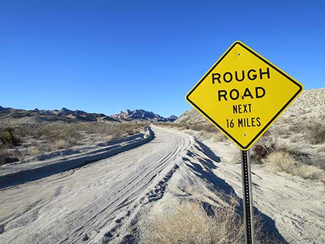 Sign: Rough road next 16 miles; 4x4 recommended (view N) |
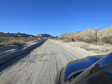 Speed limit sign: 25 mph (view N) |
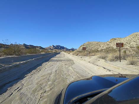 Two more signs ahead (view N) |
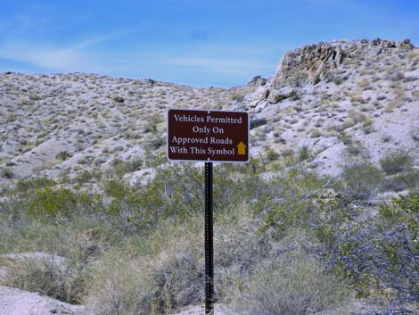 Sign: Vehicles permitted on approved roads (view N) |
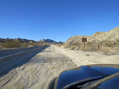 Signs: Spirit Mtn and Bridge Canyon Wilderness areas; road number |
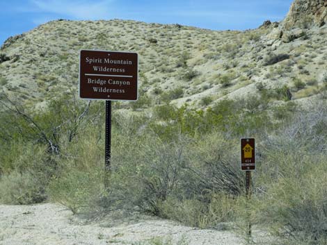 Signs: Spirit Mtn and Bridge Canyon Wilderness areas; road number |
 |
 |
 Christmas Tree Pass Road (view N) |
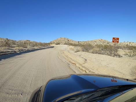 Sign: No shooting area (view N) |
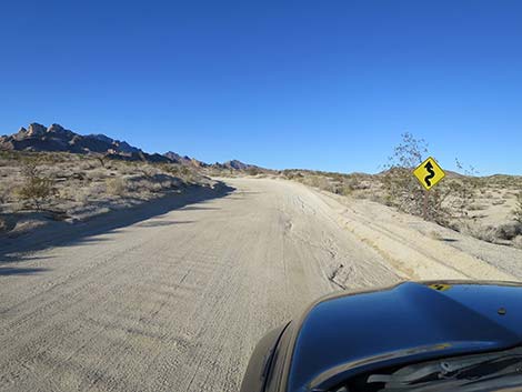 Approaching blind curve (view N) |
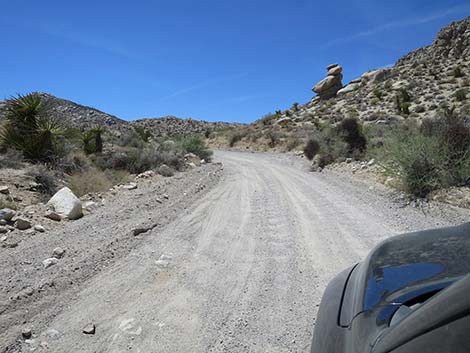
 Graded road with washboards (view N) |
 |
 |
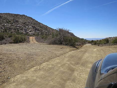
 Christmas Tree Pass Rd approaching Grapevine Canyon Rd (view N) |
 Christmas Tree Pass Rd approaching Grapevine Canyon Rd (view N) |
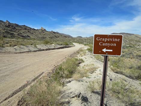 Sign: Grapevine Canyon Road to the left (view N) |
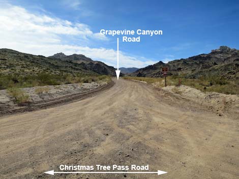 Grapevine Canyon Road (view W Christmas Tree Pass Road) |
 CTP Road continues across Grapevine Wash (view N) |
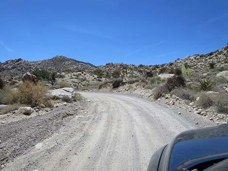
 Over the hill, CTP Road bends to the right (view N) |
 Bending to the right (view N) |
 The road descends into Sacatone Canyon (view N) |
 Sign regarding no hunting zones (view N) |
 CTP Road approaching Sacatone Wash trailhead parking (view N) |
 CTP Road dipping across Sacatone Wash (view N) |
 Sacatone Wash Road (view W from CTP Road) |
 Sign at entrance to parking area (view W) |
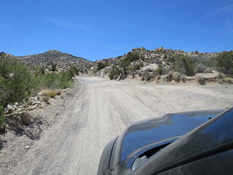
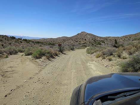
 CTP Road heading into the hills (view N) |
 Trailhead parking along CTP Road (view NW) |
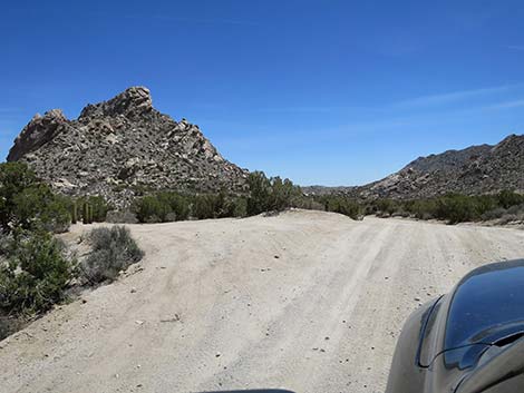
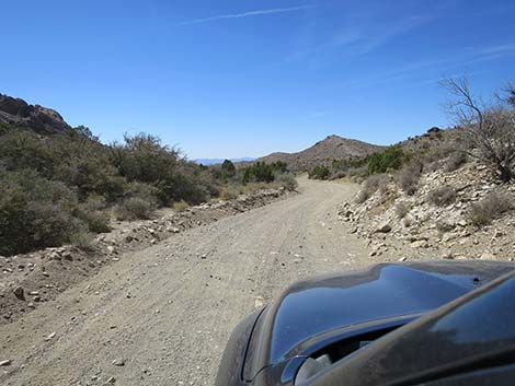
 CTP Road Passing an interesting granite outcrop (view N) |
 CTP Road approaching Pipe Spring Road (view N) |
 CTP Road at Pipe Spring Road (view N) |
 CTP Road bends left to head west (view W) |
 CTP Road (view W) |
 Trailhead parking along CTP Road (view SW) |
 Trailhead parking (view S) |
 |
 |
 |
 |
 Trailhead parking along CTP Road (view NW) |
 Trailhead parking along CTP Road (view SW) |
 CTP Road begins winding towards the pass (view W) |
 Trailhead parking along CTP Road (view SW) |
 Willow Spring (dry) Trailhead parking (view S) |
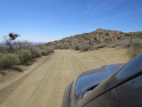
 Winding into the mountains becomes more serious (view W) |
 Winding through the mountains (view W) |
 Trailhead parking along CTP Road (view SW) |
 Communications towers become visible on the mountain peak ahead |
 Bigelow's Nolina blooming above the road (view W) |
 CPT Road winding through the mountains (view W) |
 CPT Road winding through the mountains (view W) |
 Interesting granite rock formations (view W) |
 CTP Road crossing Sacatone Wash again (view W) |
 Parking on the right (view SW) |
 Viewpoint parking on the left (view SW) |
 Trailhead parking and short trail to viewpoint (view SE) |
 CTP Road descends towards Grapevine Canyon (view S) |
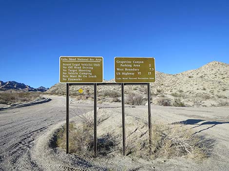
 CTP Road at Lake Mead NRA boundary sign (view S) |
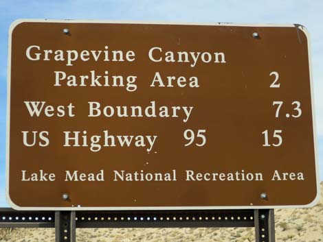
 Looking back: Lake Mead NRA boundary sign (view NE) |
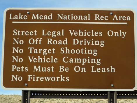
 Looking back: Lake Mead NRA regulations sign (view NE) |
 CTP Road descends towards Grapevine Canyon (view S) |
 CTP Road turns to cross Grapevine Canyon (view S) |
 CTP Road dipping through Grapevine Canyon Wash (view S) |
 Upper Grapevine Canyon Trailhead parking along CTP Road (view S) |
 Upper Grapevine Canyon Trailhead parking (view S) |
 CPT Road begins final climb towards Christmas Tree Pass (view NW) |
 A wide spot for parking (view NW) |
 CPT Road winding through the mountains (view W) |
 Christmas Tree Pass Road (view N) |
 West face of Spirit Mountain comes into view (view N) |
 CPT Road approaching Spirit Mountain Trailhead (view N) |
 CPT Road at Spirit Mountain Trailhead (view N) |
 Start of route to Spirit Mountain (don't take this hike lightly; view N) |
 CPT Road passing Spirit Mountain Trailhead (view W) |
 CPT Road (view W) |
 Additional trailhead parking along CTP Road (view S) |
 Traversing hillsides below communications towers (view SW) |
 Narrow road and steep climb (watch for downhill drivers) |
 Exiting the narrow gully (view NW) |
 Trailhead parking along CTP Road (view SW) |
 CTP Road making final climb to the pass (view SW) |
 Campsites atop Christmas Tree Pass (view SW) |
 Campsite atop Christmas Tree Pass (view S) |
 Descending over Christmas Tree Pass (view W) |
 The road winds down at more gentle grades (view NW) |
 Campsites along CTP Road (view S) |
 Campsites along CTP Road (view S) |
 The road descends an unnamed canyon (view W) |
 The road descends an unnamed canyon (view W) |
 The road eventually climbs out of the unnamed canyon (view SW) |
 Road above the unnamed wash (view W) |
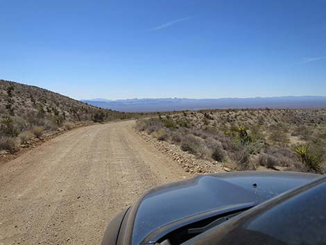
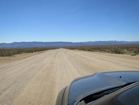
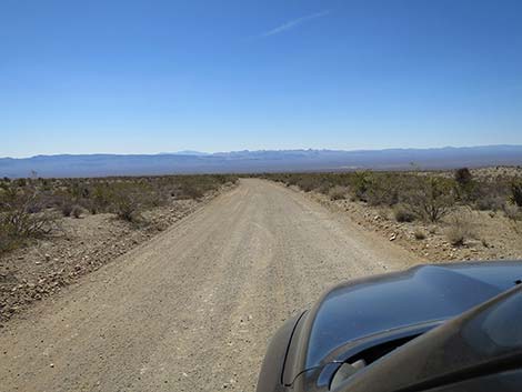 The road descends the open desert bajada (view W) |
 Popular campsite along CTP Road (view S) |
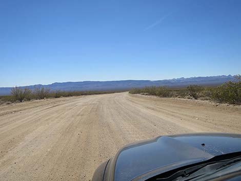
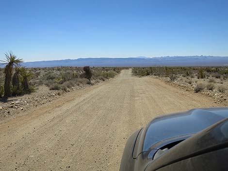 Descending the open desert bajada (view W) |
 Descending the open desert bajada (view W) |
 Passing the wooden-pole powerline road (view W) |
 Passing the two metal-tower powerline roads (view W) |
 Entering the final S-curve (view SW) |
 Passing the final S-curve (view SW) |
 Exiting the final S-curve (view SW) |
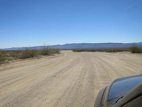
 CTP Road runs long and straight toward bottom of the valley (view W) |
 CTP Road approaching Highway 95 (view W) |
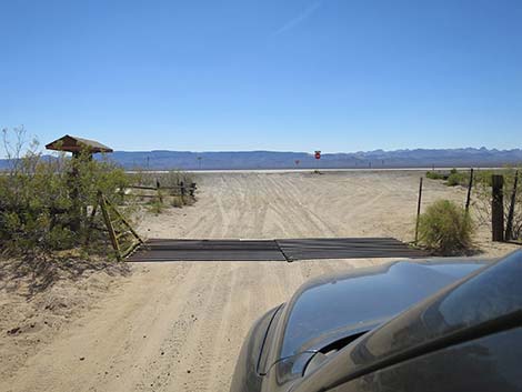 Cattle guard at Highway 95 roadside fence (view W) |
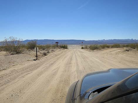
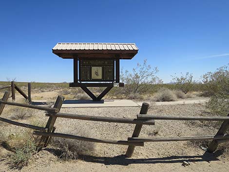 Information kiosk (view S from Christmas Tree Pass Road) |
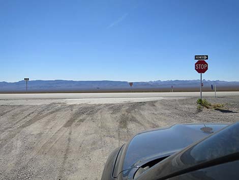 Christmas Tree Pass Road at Highway 95 (view W) |
Table 1. Highway Coordinates Based on GPS Data (NAD27; UTM Zone 11S). Download Highway GPS Waypoints (*.gpx) file.
| Wpt. | Location | Latitude (N) | Longitude (W) | Elevation (ft) | Point-to-Point Distance (mi) | Cumulative Distance (mi) |
|---|---|---|---|---|---|---|
| 0826 | Hwy 95 at Hwy 163 | 35.19241 | 114.85244 | 2,516 | . | . |
| 1317 | Hwy 163 at Bridge Canyon Road | 35.17247 | 114.71033 | 2,317 | . | . |
| 0823 | Hwy 163 at Christmas Tree Pass Rd | 35.20072 | 114.66788 | 1,952 | 0.00 | 00.00 |
| 0824 | Christmas Tree Pass Rd at Grapevine Cyn | 35.22552 | 114.67796 | 2,325 | 1.86 | 01.86 |
| 0825 | Grapevine Canyon Parking | 35.22582 | 114.68072 | 2,341 | . | . |
| 1307 | Christmas Tree Pass Rd at Sacatone Rd | 35.24169 | 114.67448 | 2,232 | 1.20 | 03.06 |
| 1308 | Sacatone Wash Parking Lower | 35.24140 | 114.67513 | 2,237 | . | . |
| 1309 | Christmas Tree Pass Rd at Pipe Spring Rd | 35.26325 | 114.68471 | 2,740 | 1.61 | 04.67 |
| 1310 | Pipe Spring Trailhead Parking | 35.26812 | 114.68488 | 2,725 | . | . |
| 1311 | Sacatone Wash Parking Upper | 35.25726 | 114.71215 | 3,310 | 1.66 | 06.33 |
| 1312 | Bridge Overlook Trailhead Park | 35.25692 | 114.71603 | 3,380 | 0.24 | 06.57 |
| 1313 | Sacatone Overlook Parking | 35.25594 | 114.72685 | 3,684 | 0.73 | 07.30 |
| 1314 | Christmas Tree Pass Rd at Grapevine Cyn Rd | 35.25189 | 114.72913 | 3,607 | 0.36 | 07.66 |
| 1315 | Spirit Peak Trailhead Parking | 35.25787 | 114.73458 | 3,768 | 0.63 | 08.29 |
| 1316 | Christmas Tree Pass | 35.26077 | 114.74390 | 3,945 | 0.56 | 08.85 |
| 1219 | Christmas Tree Pass Rd at Hwy 95 | 35.26786 | 114.87016 | 2,535 | 7.48 | 16.33 |
Happy Hiking! All distances, elevations, and other facts are approximate.
![]() ; Last updated 250105
; Last updated 250105
| Backroads Around Lake Mead | Hiking Around Las Vegas | Glossary | Copyright, Conditions, Disclaimer | Home |