Hiking Around Las Vegas, Death Valley National Park, Death Valley Wilderness Area
 Lemoigne Canyon Road (view W from Hwy 190) |
Overview This pleasant hike runs up the south fork of Lemoigne Canyon in the southern Cottonwood Mountains to the cabin that Jean Lemoigne, a French mining engineer and prospector, built around 1890 while working lead-silver mines in the area. The area has a long history of mining, and a mix of new and old artifacts are scattered about. Unfortunately, this includes a large tin 1960s-era building that seems out of place in this Death Valley Wilderness Area. The lower canyon is narrow, but not true narrows, and the upper canyon is wide. The miners filled the pour-overs with boulders and rocks so they could drive ore trucks up and down the canyon, so there is no scrambling on this route. The access is road is very rough, don't even think about driving on this road with an ordinary car. Please help preserve and protect this site for the enjoyment of future generations! Link to topographic map or elevation profile. |
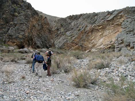
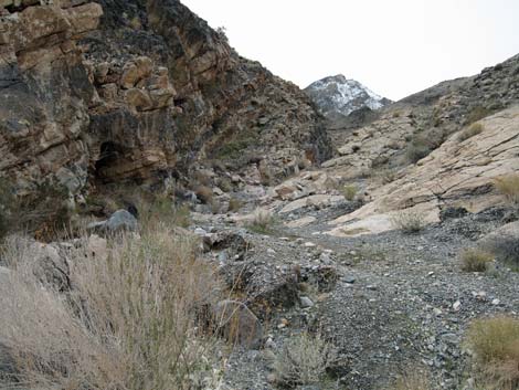
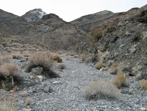
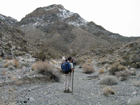
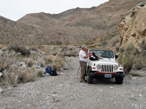 Trailhead (view W) |
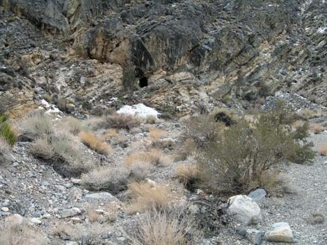
Watch Out Other than the standard warnings about hiking in the desert, ... this hike is fairly safe, including the two buildings. However, there are a number of holes in the ground (mine adits), and although holes are always interesting, they are never safe to enter. While hiking, please respect the land and the other people out there, and try to Leave No Trace of your passage. Also, this hike is in a wild and remote area, so be sure to bring the 10 Essentials. This hike runs up into designated wilderness, so be extra careful with the land. |
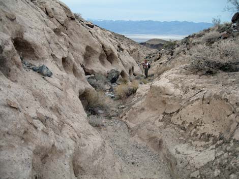
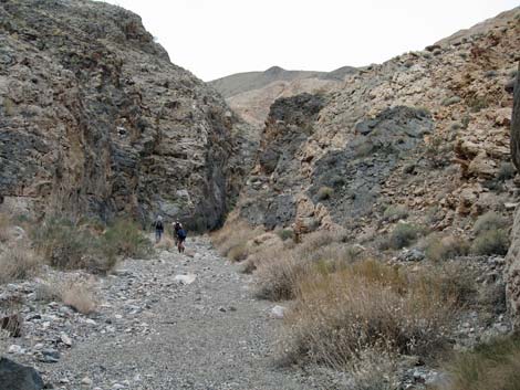
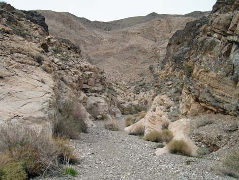
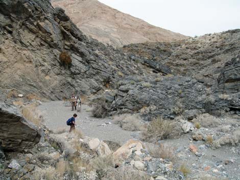
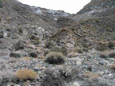
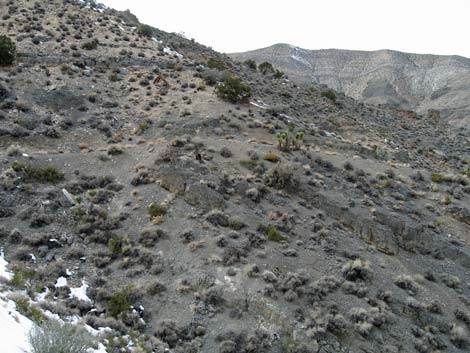
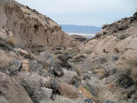
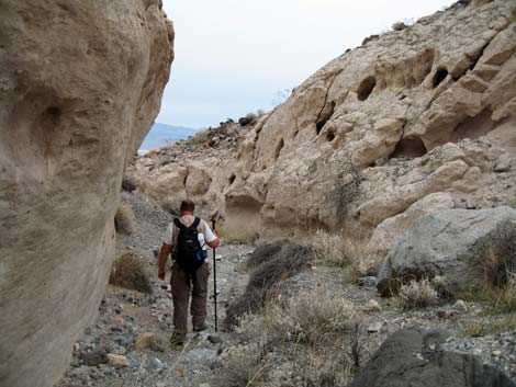
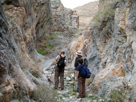 Much of lower canyon is narrow, but little is this narrow (view SW) |
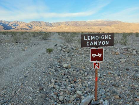
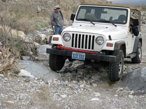
Getting to the Trailhead This hike is located in Death Valley National Park, about 3.5 hours northwest of Las Vegas. From town, drive out to Death Valley. From the Furnace Creek Visitor Center (Table 1, Site 712), drive north and west on Highway 190 to Stovepipe Wells. From the Stovepipe Wells general store, continue west for 6.1 miles to Lemoigne Canyon Road (Site 982). Watch for a small sign on the west side of the road. Turn right (west) onto Lemoigne Canyon Road and bounce along for 5.4 miles to a narrow spot in the canyon where the road is blocked by a "Road Closed Wilderness Area" sign (Site 983). Park here; this is the trailhead. It should be noted that this road is considered to be among the worst backcountry roads in all of Death Valley. Don't even think about driving this road in an ordinary car. |
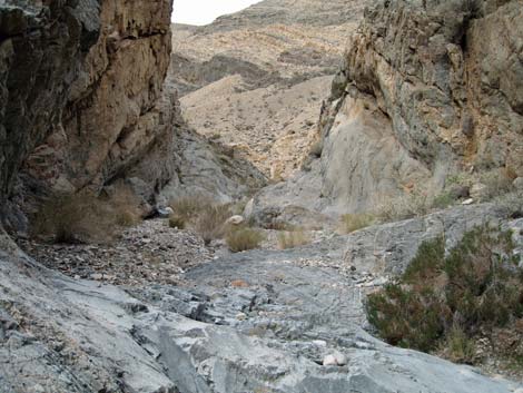
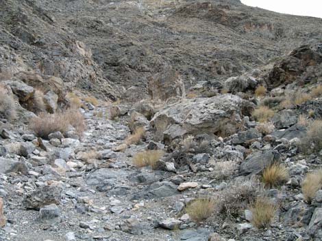
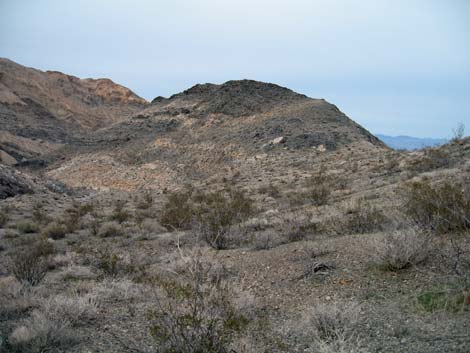
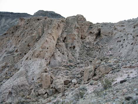
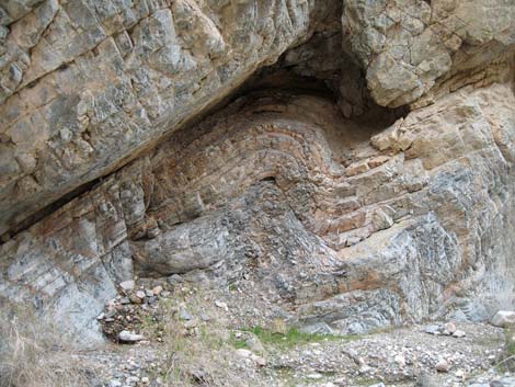 Tortured geology exposed in canyon wall |
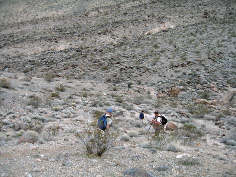
The Hike From the trailhead (Table 2, Waypoint 1), the route runs west and up the main gravel wash. Note as you are leaving the trailhead that a large side canyon runs off to the southwest. The alternate route runs to the head of this canyon, always staying along the north side, until it climbs over a saddle and drops back into the main canyon. Following the main wash, the canyon is somewhat narrow and meanders at bit, always keeping the viewing distance short and enticing hikers around the next corner just ahead. At 0.61 miles out, the South Fork of the canyon branches off to the left (south). The route naturally leads up the North Fork, so be sure to make this turn (Wpt. 2). The best "narrows" are in this first section of canyon, up to a bit past the North Fork turnoff. |
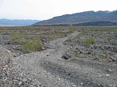
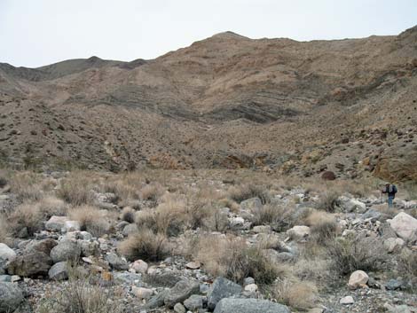
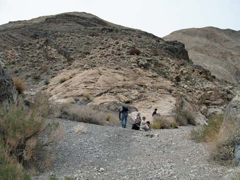
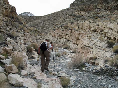
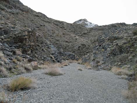
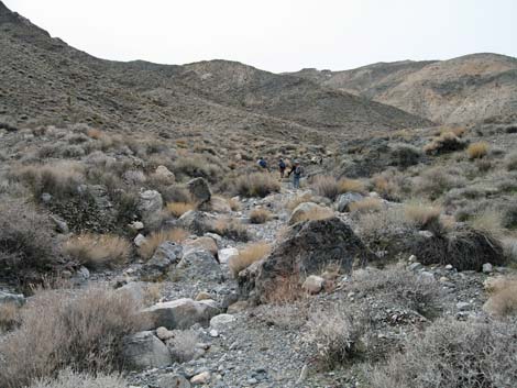
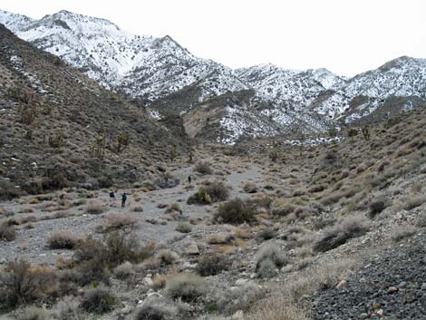
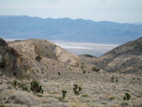
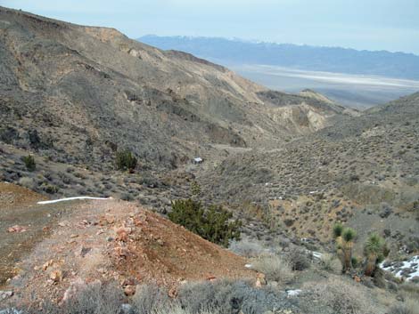
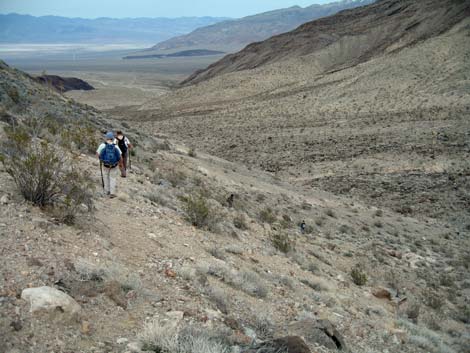
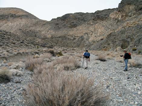 Much of the upper canyon is wide (view W) |
Up the South Fork, the canyon meanders a bit more, then straightens out running almost due south. Along this section, notice a low saddle (Wpt. 11) to the east. Just over this saddle is the side canyon that runs back to the trailhead, which makes a nice alternate route back down. The lower canyon is well vegetated with a diverse assemblage of low-growing shrubs and cactus. The area is in the Upper Sonoran Life Zone (Mojave Desert Scrub) with lots of black-banded rabbitbrush, netvein goldeneye, and cheeseweed, plus seep willow, pygmy cedar, desert-thorn, goldenbush, indigo bush, death valley mormon tea, and desert stingbush (rock nettle). The hillsides also have lots of creosote bush and white bursage, plus some cottontop and beavertail cactus. Keep an eye out for lipfern-type ferns that grow in shady cracks in the rock walls, and watch for the few fishhook cactus growing in the area. |
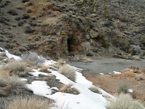
 First view of Lemoigne's Cabin (view SW) |
Higher up in the canyon, Western Joshua Trees, sagebrush, and mormon tea become common, and there are even some Utah Junipers about. When the main canyon bends hard to the left, watch for a narrow use-trail (Wpt. 3) on the southeast hillside. This is a good place to leave the main canyon on the way down and traverse the hillside to the saddle before cutting over and down into the side canyon. |
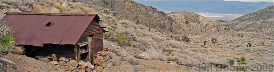
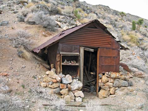
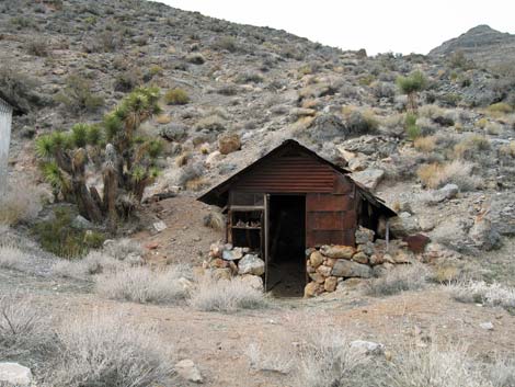
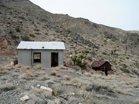
 Lemoigne's cabin and new tin building (view SW) |
The canyon runs fairly narrow for most of a mile to just before the next major side canyon (Wpt. 4) on the south side, then runs wider and more open all the way to Lemoigne's Cabin. The route passes two obvious prospects (Wpt. 5, Wpt. 6) that are much shallower that it seems they should be. The rocks in this area are mostly Cambrian-era carbonates (limestone or dolomite). These layered rocks were laid down in an ocean, and the few fossils suggest that it was shallow some of the time. Mostly, however, the rocks only record the tilting, twisting, and folding that jumbled up this country. |
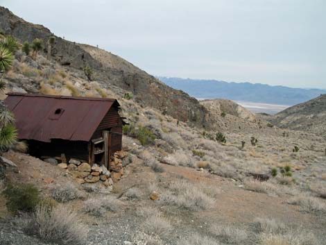
 Lemoigne's tiny cabin (view W) |
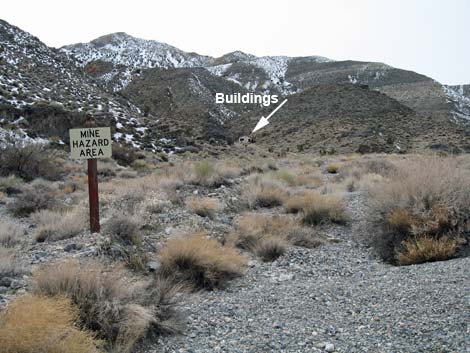
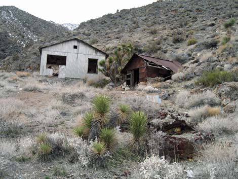
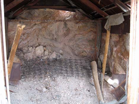
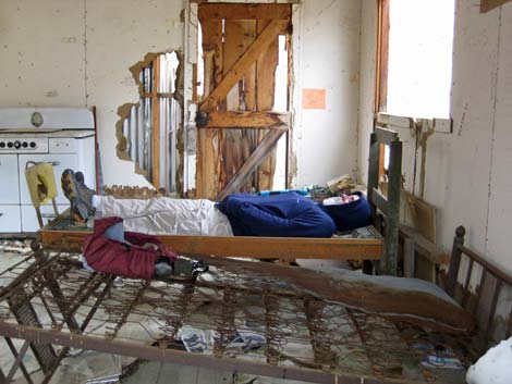
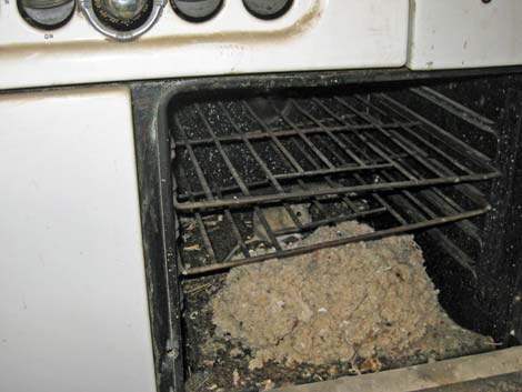
A few steps past the third major side canyon on the south side, a sign in the center of the wash (Wpt. 7) announces "Mine Hazard Area," and you know you are close. In fact, you can look ahead and see the tin building in the next side canyon on the south side. The canyon opposite the sign has evidence of mining activity, or at least living activity a short way up. There are a couple of flattened areas (tent sites?), small rock walls, and rusting junk (cans, bed springs, etc.) lying about. Up the next side canyon to the south (Wpt. 8), Lemoigne's tiny cabin sits against the hillside in front of the newer tin building. The back wall has caved in, but otherwise it is in remarkable condition considering the age. The roof is corrugated metal, but the sides are made of flattened metal cans. |
 Alternate route down the first side canyon (view NE). |
The tin building, while seeming out of place, used to be a popular destination when people could drive up the canyon. From a log book and writings on the walls, it appears that the road was closed in the late 1980s, but people continued illegally driving up to the cabin until at least 2002. Fortunately, it appears that nobody has driven up here in years, although vehicle tracks in the upper canyon are plainly visible. Above the cabin, an old road continues up the bottom of the canyon, then switchbacks onto the west wall and runs up to an old mine. From the size of the pilings, this appears to be a deep mine. Other mines can be seen on the hillside above this one, and there is a mine across the canyon with what looks like ore stacked up on the hillside. The USGS map shows more mines up the main canyon, but we ran out of time and didn't investigate them. After enjoying the mining area and communing with the spirit of "Old John" and the other people who grubbed a living from these mountains, return down the canyon to the trailhead, but consider using the alternate route down the first side canyon. |
Trip Photos
 |
 |
 |
|
 |
 |
 |
 |
 |
|
 |
|
 |
 |
 |
 |
 |
 |
 |
 |
 |
 |
 |
 |
|
 |
 |
|
|
 |
|
 |
 |
 |
 |
 |
 |
 |
 |
 |
 |
 |
 |
 |
|
 |
 |
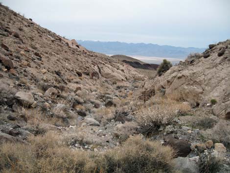 |
Table 1. Highway Coordinates (NAD27; UTM Zone 11S). Download Highway GPS Waypoints (*.gpx) file.
| Site | Location | Latitude | Longitude | Easting | Northing | Elevation | Verified |
|---|---|---|---|---|---|---|---|
| 0712 | Furnace Creek Visitor Center | 36.46159 | 116.86574 | 512030 | 4034954 | -186 | Yes |
| 0751 | Highway 190 at Stovepipe Wells | 36.60654 | 117.14594 | 486948 | 4051034 | 0 | Yes |
| 0982 | Hwy 190 at Lemoigne Road | 36.53860 | 117.21313 | 480922 | 4043509 | 1,246 | Yes |
| 0983 | Lemoigne Road at Parking | 36.49528 | 117.28525 | 474452 | 4038720 | 2,792 | GPS |
Table 2. Hiking Coordinates Based on GPS Data (NAD27; UTM Zone 11S). Download Hiking GPS Waypoints (*.gpx) file.
| Wpt. | Location | Easting | Northing | Elevation (ft) | Point-to-Point Distance (mi) | Cumulative Distance (mi) | Verified |
|---|---|---|---|---|---|---|---|
| 01 | Trailhead | 474452 | 4038720 | 2,792 | 0.00 | 0.00 | GPS |
| 02 | South Fork Lemoigne Canyon | 473665 | 4038544 | 3,065 | 0.61 | 0.61 | GPS |
| 03 | Alternate Route | 473557 | 4037771 | 3,392 | 0.55 | 1.16 | GPS |
| 04 | Second Side Canyon | 473309 | 4037064 | 3,941 | 0.81 | 1.97 | GPS |
| 05 | Mine (adit) | 472569 | 4036362 | 4,448 | 0.81 | 2.78 | GPS |
| 06 | Mine (adit) | 472391 | 4036377 | 4,528 | 0.11 | 2.89 | GPS |
| 07 | Hazardous Mine Area Sign | 472279 | 4036088 | 4,648 | 0.21 | 3.10 | GPS |
| 08 | Mouth of Lemoigne Cabin Canyon | 472150 | 4036042 | 4,724 | 0.09 | 3.19 | GPS |
| 09 | Lemoigne Cabin | 472099 | 4035959 | 4,751 | 0.06 | 3.25 | GPS |
| 01 | Trailhead | 474452 | 4038720 | 2,792 | 3.25 | 6.50 | GPS |
| . | . | . | . | . | . | . | . |
| 09 | Lemoigne Cabin | 472099 | 4035959 | 4,751 | 0.00 | 0.00 | GPS |
| 10 | Mine (adit) | 471980 | 4035643 | 5,048 | 0.39 | 0.39 | GPS |
| 09 | Lemoigne Cabin | 472099 | 4035959 | 4,751 | 0.39 | 0.78 | GPS |
Table 3. Hiking Coordinates Based on GPS Data (NAD27; UTM Zone 11S). Using the Alternate Route on the way back.
| Wpt. | Location | Easting | Northing | Elevation (ft) | Point-to-Point Distance (mi) | Cumulative Distance (mi) | Verified |
|---|---|---|---|---|---|---|---|
| 01 | Trailhead | 474452 | 4038720 | 2,792 | 0.00 | 0.00 | GPS |
| 09 | Lemoigne Cabin | 472099 | 4035959 | 4,751 | 3.25 | 3.25 | GPS |
| 03 | Alternate Route | 473557 | 4037771 | 3,392 | 2.09 | 5.34 | GPS |
| 11 | Saddle on Alternate Route | 473736 | 4037939 | 3,456 | 0.17 | 5.51 | GPS |
| 12 | Canyon bottom on Alternate Route | 473878 | 4037937 | 3,269 | 0.12 | 5.63 | GPS |
| 01 | Trailhead | 474452 | 4038720 | 2,792 | 0.67 | 6.30 | GPS |
Happy Hiking! All distances, elevations, and other facts are approximate.
![]() ; Last updated 240324
; Last updated 240324
| Death Valley | Hiking Around Las Vegas | Glossary | Copyright, Conditions, Disclaimer | Home |