Hiking Around Las Vegas, Death Valley National Park
 Trailhead at entrance to Texas Springs Camp (view N; Wpt. 01) |
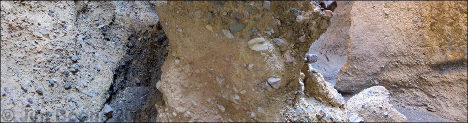
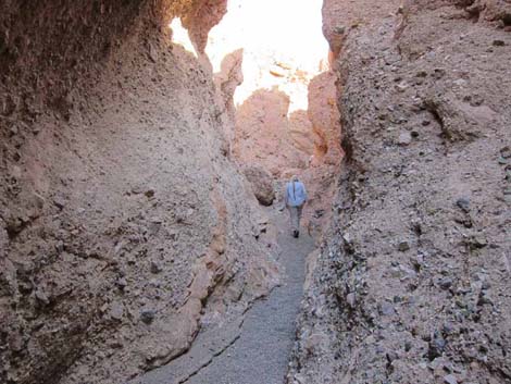
Overview The Furnace Slots route, located in the Funeral Mountains just east of Furnace Creek, is a great hike that leads into the Death Valley Wilderness Area. The destination is an area with a series of slot canyons that cut into colorful mud hills and conglomerate rock of grays and various other colors. There are few landmarks on the broad bajada to guide hikers through the braided washes, so hikers should rely on GPS data to find the narrow canyons that lie out there somewhere in the far distance. The hike starts with a long walk up the gently sloping bajada of the starkly beautiful Death Valley floor. The route then enters a canyon that narrows and narrows until hikers find themselves wandering through tight slots and clambering up and over pour-overs. For hikers not wanting to tackle class-3 scrambles, there are plenty of colorful narrows and tight slots to enjoy. |
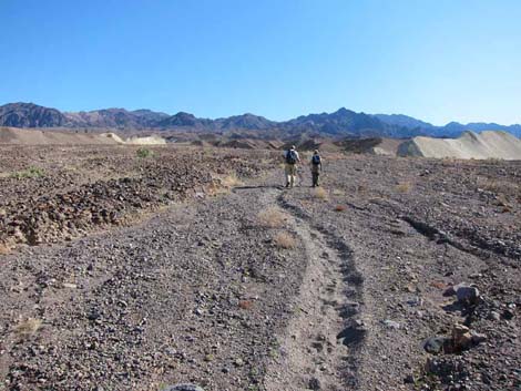
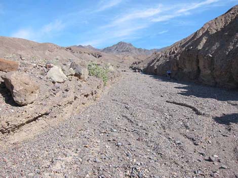
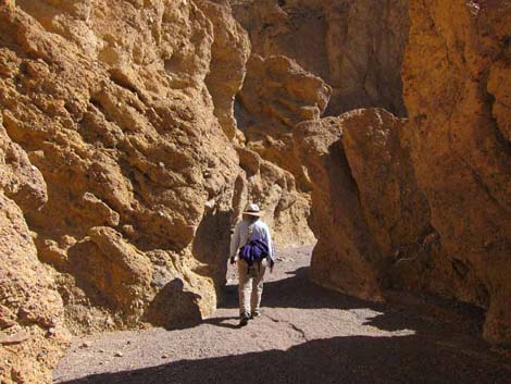
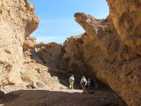
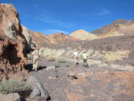
 Hikers starting up the main wash (view NE) |
Watch Out Other than the standard warnings about hiking in the desert, ...this route is fairly safe, but some pour-overs are a bit high. Be extra careful when high enough to fall and get hurt. There is evidence of recent and continuing rock falls in the canyon. I get more reports of "not finding the destination" on this hike than any other. There are few landmarks, so rely on the GPS data to get you there and back. Without a dedicated GPS, use a free phone app (e.g., Gaia GPS or Avenza) and download the coordinates file to your phone. After that, trust the GPS. While hiking, please respect the land and the other people out there, and please try to Leave No Trace of your passage. Also, even though this hike is short, the area is remote, so be sure to bring the 10 Essentials. The route runs up into the Death Valley Wilderness Area, so pay particular attention to respecting the land. |
 |
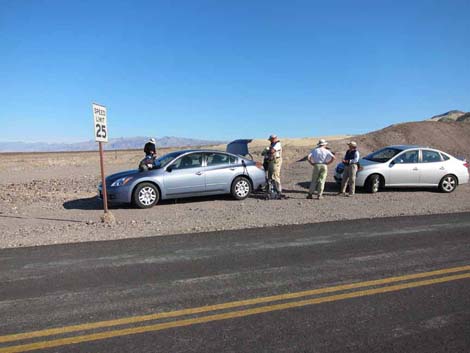
Getting to the Trailhead This hike is located in Death Valley National Park, about 2-1/2 hours northwest of Las Vegas. From town, drive out to Death Valley. From the Furnace Creek Visitor Center (Table 1, Site 0712), drive south on Highway 190 for 0.5 miles to the Texas Springs Campground Road (Site 349). Turn towards the campground, pass the turnoff to Sunset Campground, and continue to the Texas Springs Campground entrance. Park on the wide road shoulder north of the pavement just outside the campground (Site 1043). Park here; this is the trailhead. |
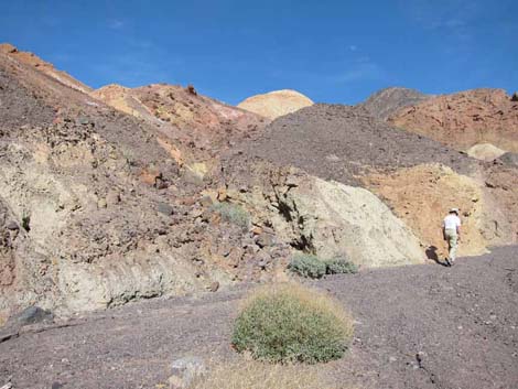
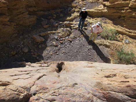
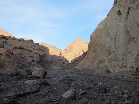
 Leaving main wash (view NE, near Wpt. 02) |
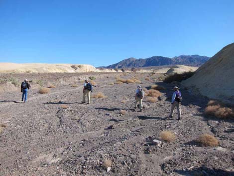
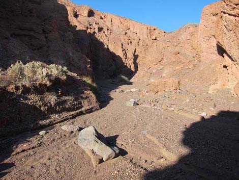
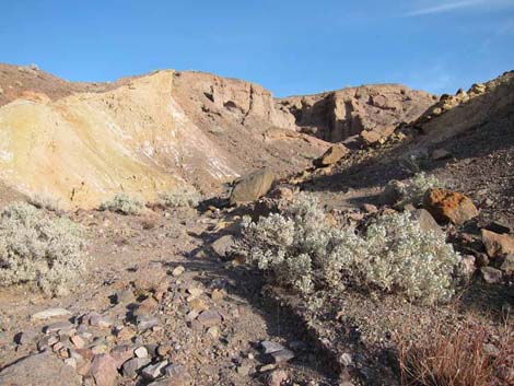
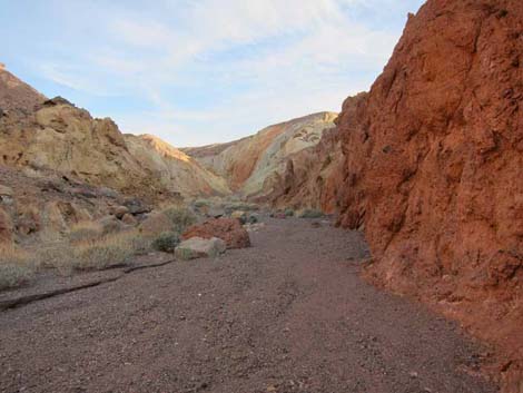
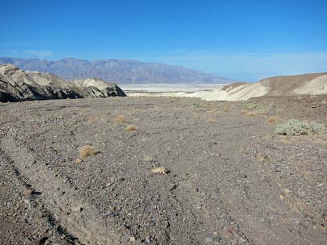
The Hike From the trailhead (Table 2, Waypoint 01), the route leaves the pavement, runs north over the road berm and into the adjacent wash. Following the main wash upstream, the route runs northeast between mud hills with varying shades of red and yellow. Horse trails that start at the Furnace Creek Inn stables loop through the area and provide suitable foot trails up the wash for a while. After following the main wash northeast and then east-southeast for 1.00 miles (Wpt. 02), the route turns left and heads northeast in another broad wash. The mouth of this wash is as broad or broader than the wash to the right. The southeast corner of the left wash is marked by smooth, sloping white mudhill cliffs. The south side of the right wash had been rounded mud hills to about this point, but here the mud hills also expose blackish vertical cliffs. |
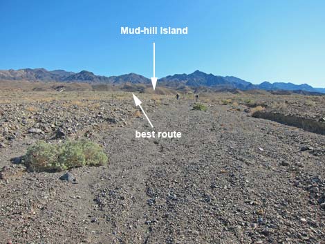 |
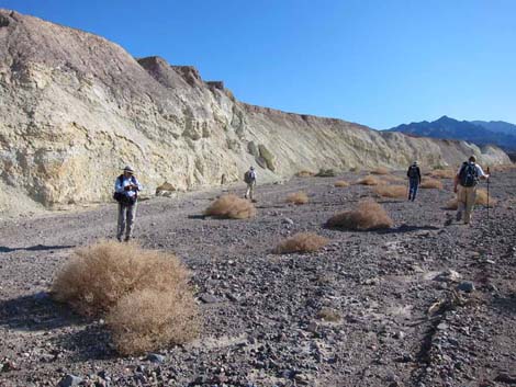
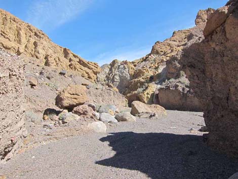
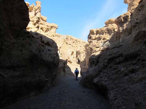
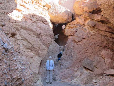
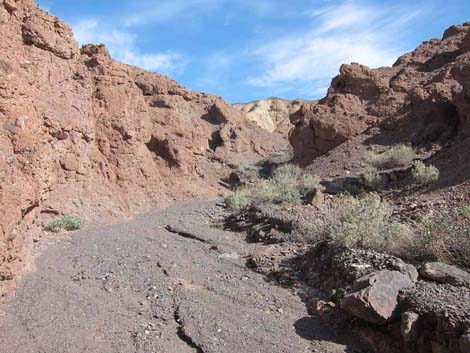
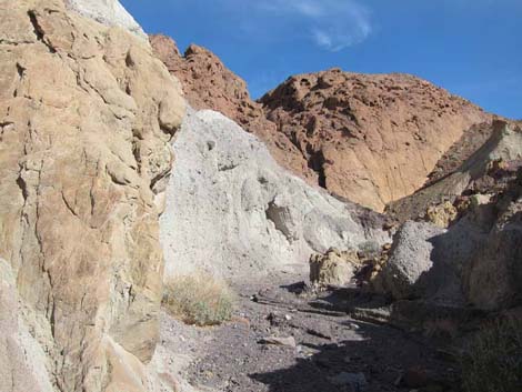
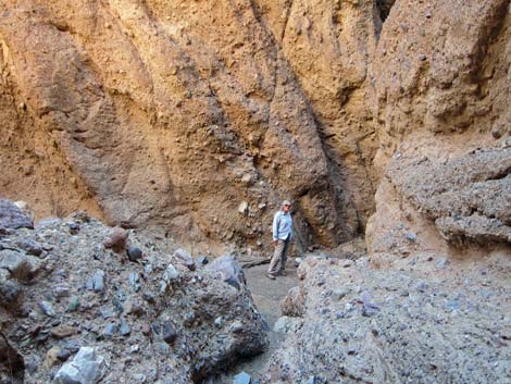
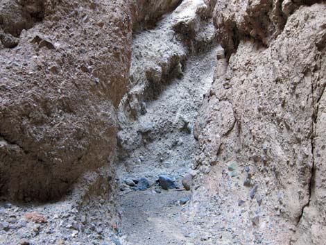
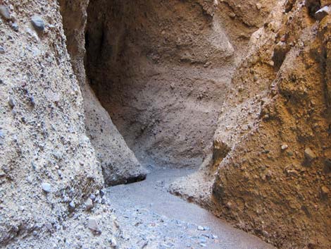
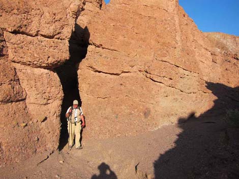
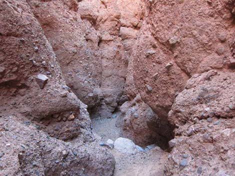
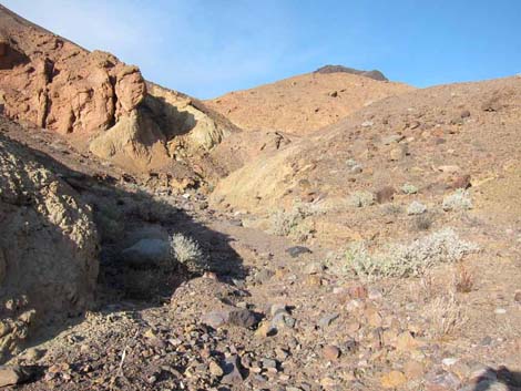
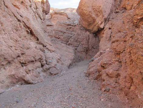
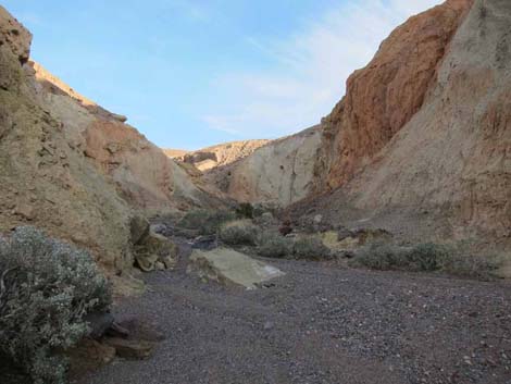
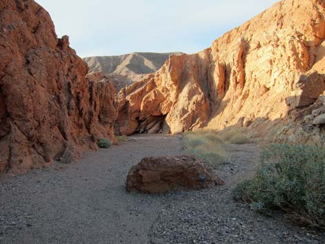
The left wash is broad and flat with few landmarks, but at about 0.6 miles out, a triangular mud hill emerges from the alluvium (an island of mud in a sea of gravel). The mud-hill island (Wpt. 03) can be passed on either side, although passing to the north is slightly more direct. The southeast corner of the mud-hill island is yellow. Past the mud-hill island (Wpt. 03), the sides of the wash become vertical due to recent erosion, so route finding becomes easier as the landscape naturally funnels hikers into the correct canyon (Wpt. 04). The route follows this canyon northeast. The colorful and sculpted walls rise and small pour-overs hint at wonders to come. After following this canyon for 1.05 miles, the walls have risen, and the wash has narrowed considerably. At this point (Wpt. 05), the canyon forks. Cairns mark the confluence, and a large, oddly white rock lies in the wash at the mouth of the left-fork canyon. |
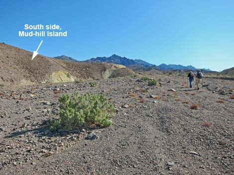 Passing south of mud-hill island (view NE, near Wpt. 03) |
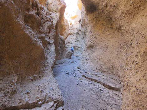
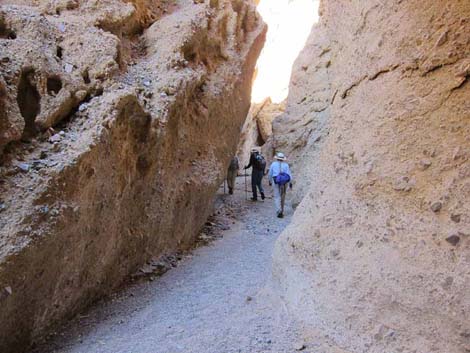
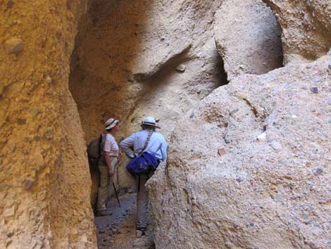
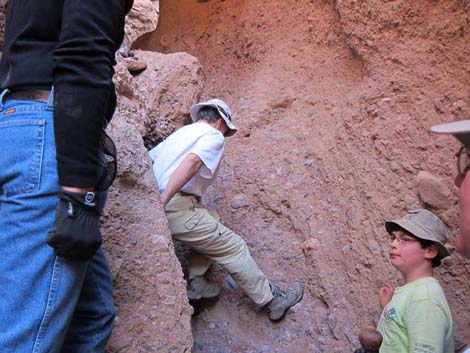
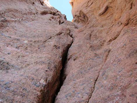
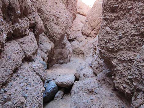
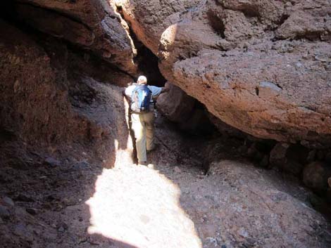
The left-fork canyon becomes deep and very narrow with several obstacles to pass and other side canyon slots (e.g., Wpt. 06) to explore. It looks like the canyon walls would be easy to climb using the apparently large and numerous hand and footholds, but this is an optical illusion and chimney techniques were safer and easier. Passing all of the smaller pour-overs leads to a high pour-over (40-50 ft) that marks a good place to turn around. The pour-over can be bypassed by climbing onto the ridges on either side of the canyon. Looking from below, the canyon past the pour-over probably holds more narrows and other exciting things, but aerial photos suggest that this is essentially the end of the narrows area. It appears that there might be a large tinaja part-way up the falls, but it is full of gravel and holds no visible water. A small pocket in the rock wall near the base of the cliffs holds a bit of water, so keep an eye out for birds and other wildlife. |
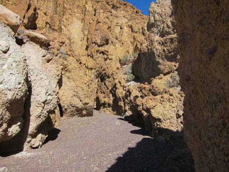
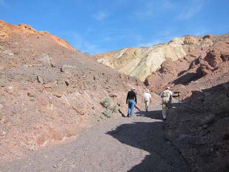
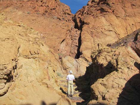
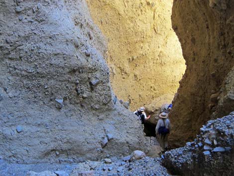
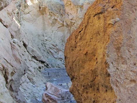
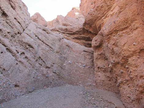
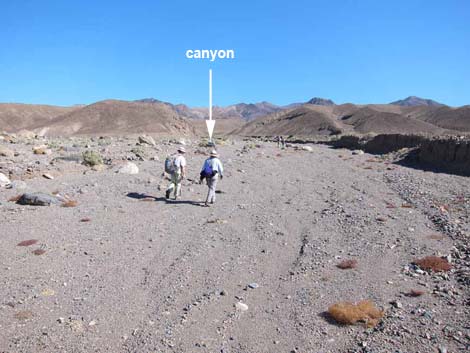 Approaching the canyon (view NE; nearing Wpt. 04) |
Heading back down from the high pour-over, be sure to look for and explore any slot side-canyons that were missed on the way up. Back where the canyon forked (Wpt. 05), consider turning left and continuing up the other canyon looking for more slots and grand scenery. At about 0.31 miles out, a slit in the canyon wall on the left leads into an interesting slot. Following this canyon to the end leads to a viewpoint looking out on the 40-50 ft pour-over that marked the turn-around spot in the left canyon. Returning from the slit and continuing up the canyon, a pour-over provides an interesting obstacle, but passing that, the canyon runs southeast, out of the mud hills, and into the limestone mountains. Late on our long day, this was a good place to turn around and follow our footprints in the wash back to the trailhead. |
 Starting to feel like a canyon |
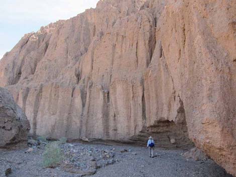 Towering alluvial cliffs |
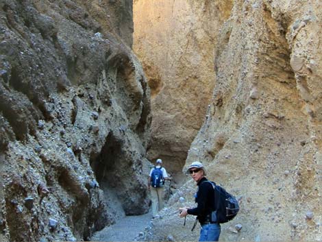
 The main canyon |
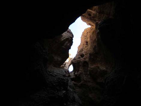
 Narrows in main canyon |
 |
 |
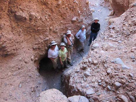
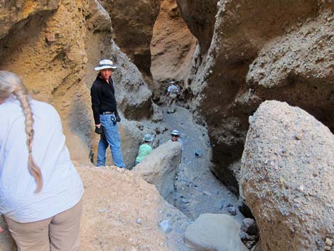
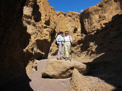 Ladies on a rock |
 Narrows in main canyon |
 Narrows in main canyon |
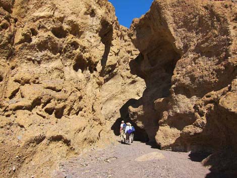
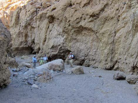
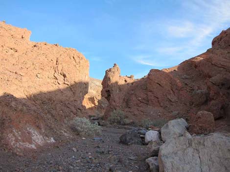
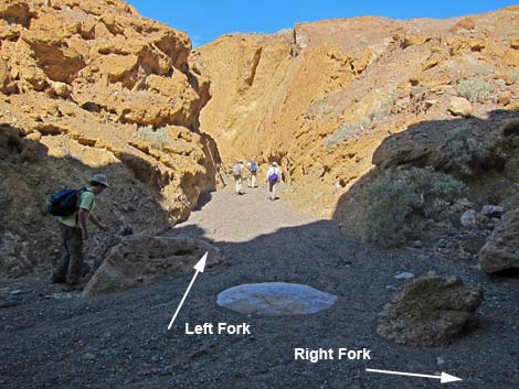 Hikers turning left where the canyon forks (view N; Wpt. 05) |
Heading up the Left-Fork Canyon
 Narrows in left-fork canyon |
 Narrows in left-fork canyon |
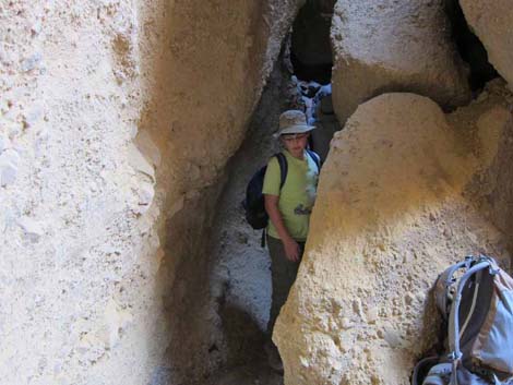
 Hikers in slot canyon; much of the narrows were like this. |
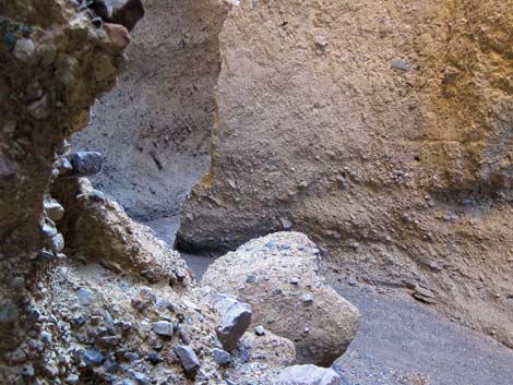
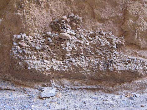 Interesting alluvial deposits glued to alluvial cliff wall |
 Tight in the bottom of the canyon |
 Tight all the way to the top too |
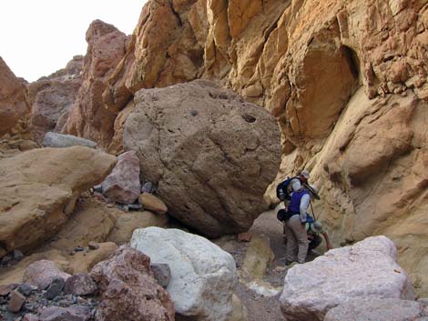
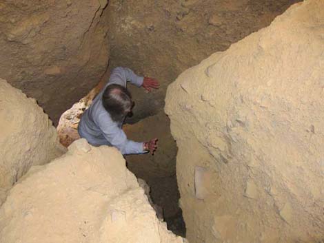 Climber working up through recently fallen boulders |
 Narrows in right-fork canyon |
 |
 |
 Hikers anticipating a high pour-over |
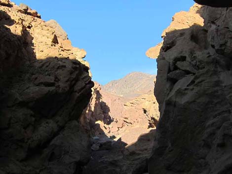
 The left-fork canyon opens up |
 |
 |
 |
 |
 Approaching the final 40-50-ft pour-over |
 Hiker at pour-over; end of left-fork route (view E; Wpt. 07) |
 Halfway up the pour-over (view down) |
 The upper half of the pour-over is more challenging (view up) |
Heading Down the Left-Fork Canyon
 |
 |
 |
 |
 |
 |
 |
 |
Heading up the Right-Fork Canyon
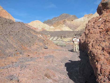
Main canyon stays left at this fork (view N; Wpt. 05) |
 About 0.2 miles up right fork (view NE) |
 Right-fork Canyon (view NE) |
 Right-fork Canyon (view NE) |
 Narrow entrance to a side-slot (view NE; Wpt. 08) |
 Inside the side-slot (view NE) |
 |
 |
 |
 |
 |
 |
 |
 |
 Late afternoon colors near the end of the mud hills (view SE) |
 Mud hills end and wash runs up into a "normal" limestone canyon |
Heading down the Right-Fork Canyon
 |
 |
Heading down the Main Canyon
 Coming out of the canyons (view SW) |
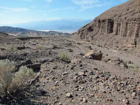
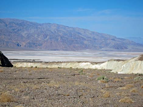
 Salt flats in the distance (near Wpt. 02; view NW) |
 Approaching the end of the trail (view NW) |
 More to come ... |
Table 1. Highway Coordinates (NAD27; UTM Zone 11S). Download Highway GPS Waypoints (*.gpx) file.
| Site # | Location | Latitude (N) | Longitude (W) | UTM Easting | UTM Northing | Elevation (feet) | Verified |
|---|---|---|---|---|---|---|---|
| 0349 | Hwy 190 at Texas Springs Camp Rd | 36.45307 | 116.86289 | 512287 | 4034010 | -133 | GPS |
| 0712 | Furnace Creek Visitor Center | 36.46159 | 116.86574 | 512030 | 4034954 | -186 | GPS |
| 1043 | Texas Spring Campground Entrance | 36.46001 | 116.85609 | 512895 | 4034780 | -75 | GPS |
Table 2. Hiking Coordinates Based on GPS Data (NAD27, UTM Zone 11S). Download Hiking GPS Waypoints (*.gpx) file.
| Wpt. | Location | Easting | Northing | Elevation (ft) | Point-to-Point Distance (mi) | Cumulative Distance (mi) | Verified |
|---|---|---|---|---|---|---|---|
| 01 | Trailhead at Texas Spring Camp Entrance | 512854 | 4034797 | -108 | 0.00 | 0.00 | GPS |
| 02 | Leave Main Wash | 514178 | 4035245 | 177 | 1.00 | 1.00 | GPS |
| 03 | North of Mud Hill | 515128 | 4035644 | 472 | 0.69 | 1.69 | GPS |
| 04 | Mouth of Canyon | 515916 | 4035964 | 696 | 0.56 | 2.25 | GPS |
| 05 | Fork in Canyon | 517271 | 4036775 | 1,100 | 1.05 | 3.30 | GPS |
| 06 | Fork in Canyon | 517474 | 4037085 | 1,266 | 0.30 | 3.60 | GPS |
| 07 | Base of Pour-Over | 517941 | 4037204 | 1,457 | 0.29 | 3.89 | GPS |
| . | . | . | . | . | . | . | . |
| 05 | Fork in Canyon | 517271 | 4036775 | 1,100 | 0.00 | 0.00 | GPS |
| 08 | Fork in Canyon | 517686 | 4036827 | 1,299 | 0.31 | 0.31 | GPS |
| NA | Main Canyon Turn Around (end mud hills) | NA | NA | NA | 0.21 | 0.52 | GPS |
| NA | Side Canyon Turn Around (top of slot) | NA | NA | NA | 0.10 | NA | GPS |
Happy Hiking! All distances, elevations, and other facts are approximate.
![]() ; Last updated 240324
; Last updated 240324
| Death Valley | Hiking Around Las Vegas | Glossary | Copyright, Conditions, Disclaimer | Home |