Hiking Around Las Vegas, Death Valley National Park
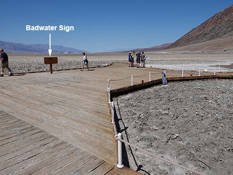
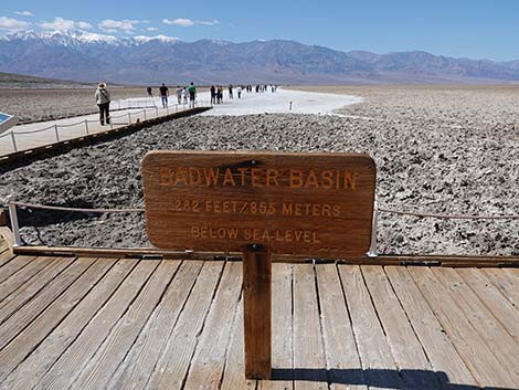
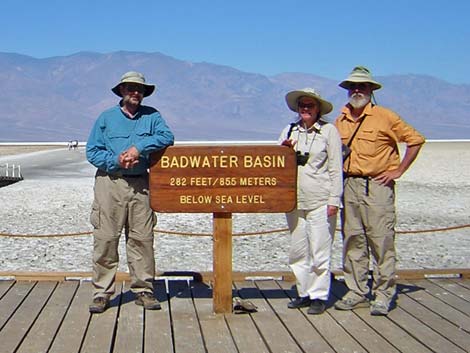 The iconic Badwater Basin sign: 282 ft below sea level (view W) |
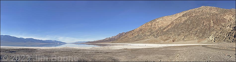
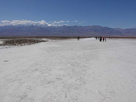
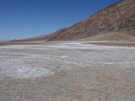
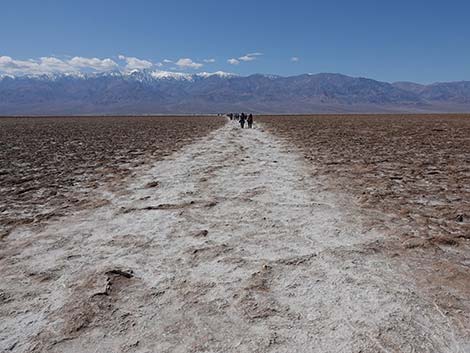
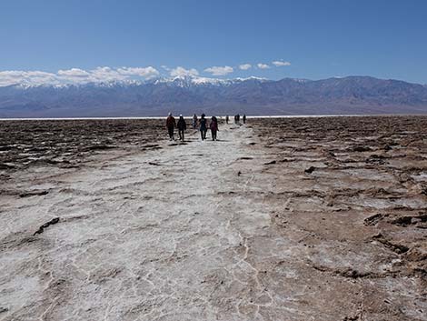
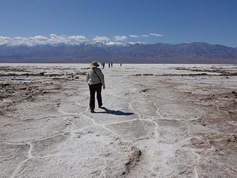
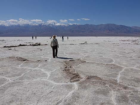
Overview The short, easy Badwater Salt Flat Trail goes out onto the Badwater Salt Flats, where, at -282 ft, you can stand at the lowest point in the Western Hemisphere. The walk is entirely smooth and level (except for walking down from the parking lot). Merely walking for 10 minutes out onto the salt gets you past where most people stop and where there are some amazing pressure ridges and cracks in the salt, and some stunning views of the mountains around the valley. The summit of Telescope Peak, just across the valley, stands more than 11,300 ft above you, and the Black Mountains (behind the trailhead) rise some 6,000 ft directly out of the salt. Link to map. |
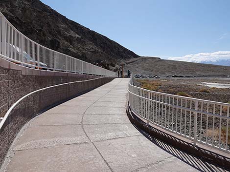
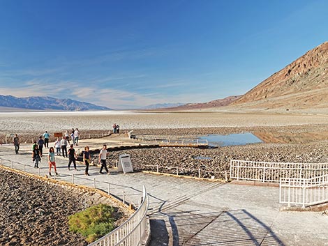 Badwater Pond and boardwalk (view NW) |
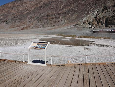
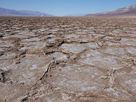
At Badwater, a 15-ft-wide use-trail has been trampled flat and smooth by countless feet over the years. Off the "beaten path," the surface is brown and irregular. Please note the difference between the trail and the natural surface, and stay on the trail to keep the other areas pristine. Also, a rare species of snail lives in the salt pond by the parking area, so please stay on the boardwalk so as not to trample these tiny creatures (life here must be hard enough already). |
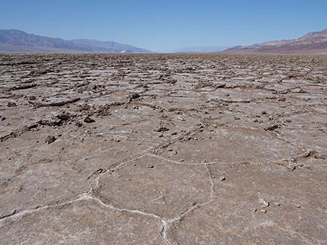
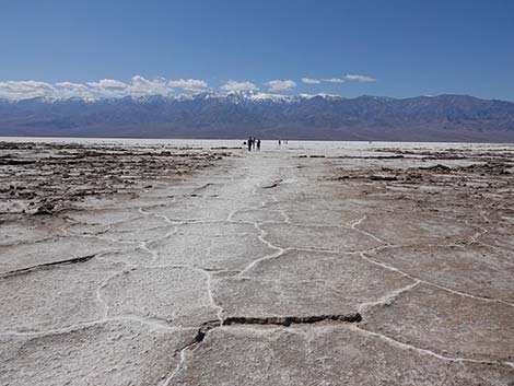
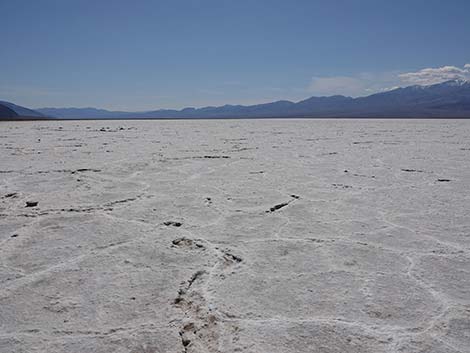
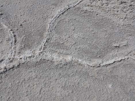
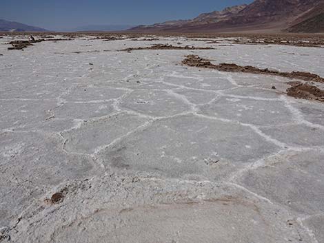 Salt ridges at the end of the trail (view N) |
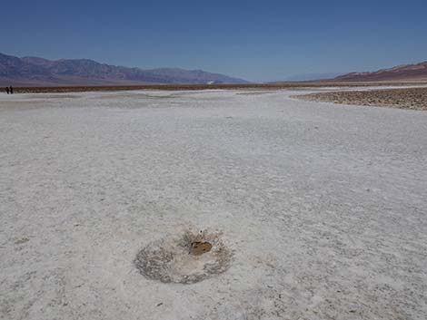
Watch Out Other than the standard warnings about hiking in the desert, ...this hike is pretty safe when the weather is cool. If the weather is hot, this place can be unbelievably hot. Also, the fact that the trail is almost entirely smooth and level creates a tripping hazard because you forget to watch where you are walking. People have been digging little holes along the trail, perhaps to collect salt, creating little potholes to trip in. Be sure to clean the salt off your feet before getting back in your car to prevent corrosion on the inside of your floorboards. While hiking, please respect the land and the other people out there, and please try to Leave No Trace of your passage. This walk is so short that you don't need to bring the 10 Essentials. |
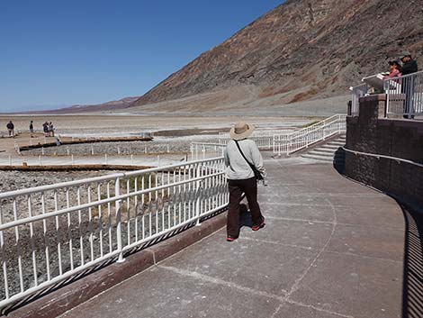
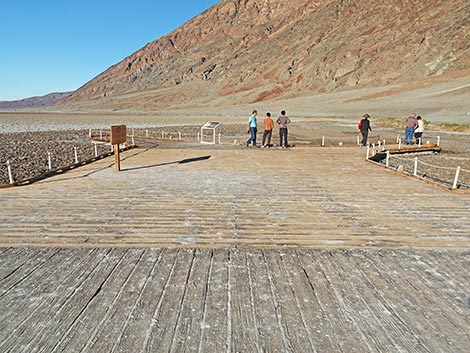
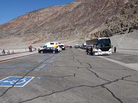 Badwater Trailhead (view N from south end) |
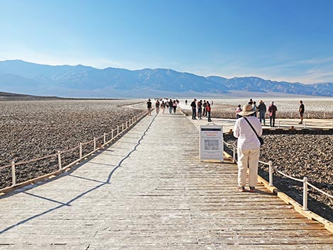
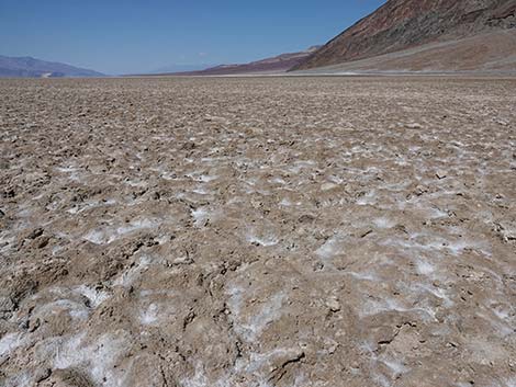
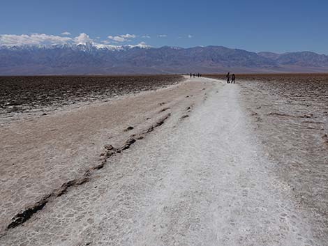
Getting to the Trailhead This hike is located in Death Valley National Park, about 3 hours northwest of Las Vegas. From town, drive out to Death Valley. From the Furnace Creek Visitor Center (Table 1, Site 712), drive south on Highway 190 for about 1.25 miles to the Badwater (Highway 178) turnoff (Site 741). Turn south (right) towards Badwater, and drive for about 17 miles to a large, paved parking area with restrooms and signs (Site 714). Park here; this is the trailhead. The Hike From the trailhead (Table 2, Waypoint 01), walk west off the boardwalk and out onto the salt and into the Death Valley Wilderness Area. Initially, the use-trail is about 15-ft wide and bright white, and it looks and sounds like snow under your feet. Just off the path, the surface is irregular from salt heaving (like frost heaving) and brown from dirt mixed with the salt. Farther out, the salt is entirely white. |
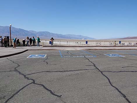 Accessible parking at Badwater Trailhead (view W) |
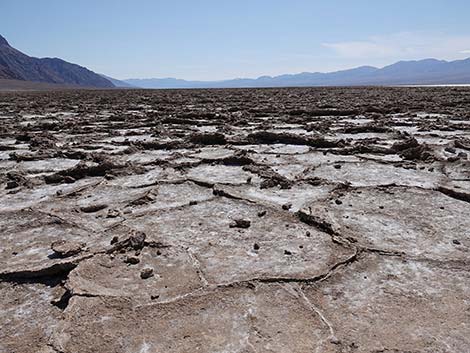
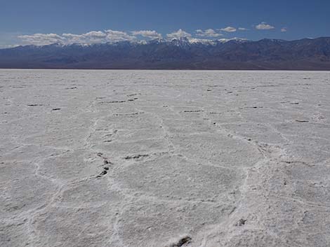
About 5-6 minutes out, the trail forks (Wpt. 02), but the two forks just go out on the salt without any particular destination; they don't even make a loop. From the looks of it, it appears that most people mill around this point, then go back. If you continue out on either of the forks, you will quickly get out to where there are interesting and untrammeled irregularities in the salt surface. Then, out past the end of the trail, you will get into areas with lots of pressure ridges where thick plates of salt are pushed up and the cracks look fresh (Wpt. 03). Enjoy the scenery and the salt, then wander back to the trailhead (Wpt. 01), which can be seen from out on the salt. |
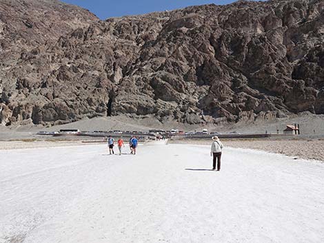
 Hiker departing the trailhead (view NW) |
 Hiker starting down from south end of the trailhead (view N) |
 South-trail joins trail from north end of the trailhead (view N) |
 The south- and north-end trails merge to lead onto the salt flats |
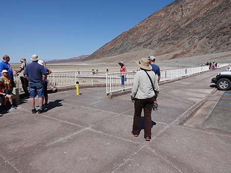
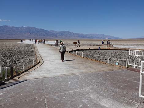
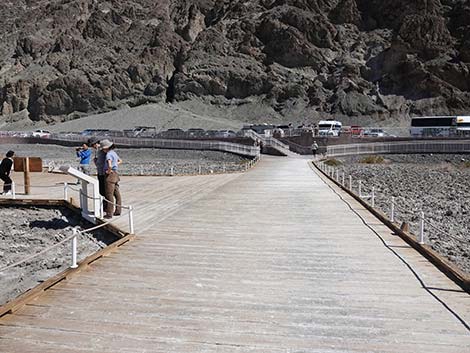
 Starting onto the boardwalk trail (view W) |
 Approaching Badwater Pond spur-boardwalk (view NW) |
 Badwater Pond spur-boardwalk (view N from main boardwalk trail) |
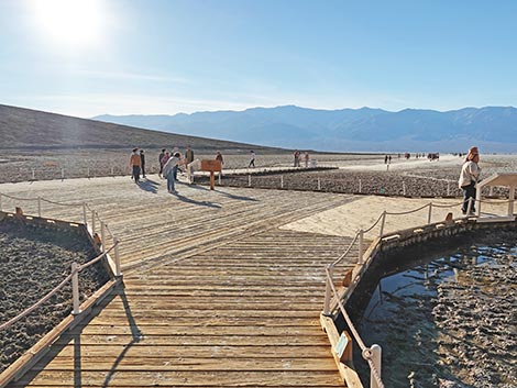
 Official Badwater Basin sign (view W; morning sun is better) |
 End of the Badwater Pond spur-boardwalk (view NW) |
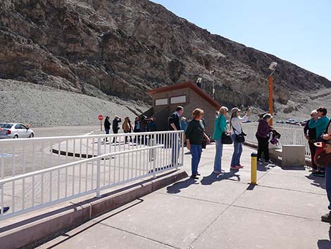
 Information sign (view N) |
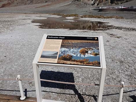
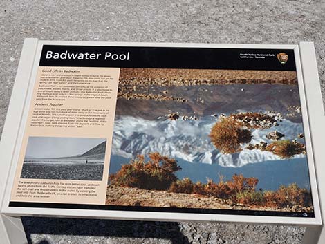 Information sign: Badwater Pool (view N) |
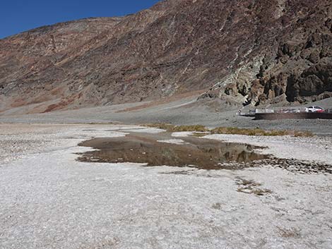 Badwater Pool (view N) |
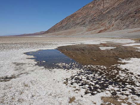 Badwater Pool (view N) |
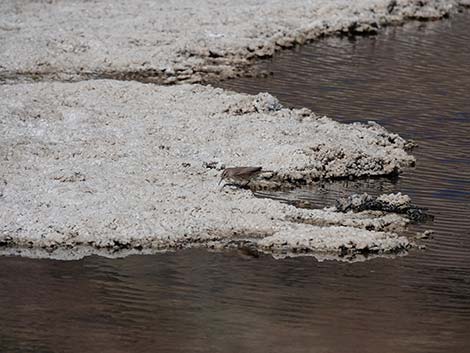 Rock Wren feeding on insects at at the edge of Badwater Pool |
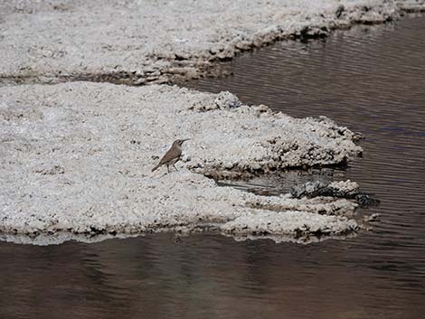 Rock Wren feeding on insects at at the edge of Badwater Pool |
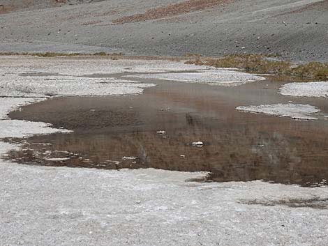 Badwater Pool (view N) |
 Departing Badwater Pool spur-boardwalk (view SW) |
 Departing Badwater Pool spur-boardwalk (view S) |
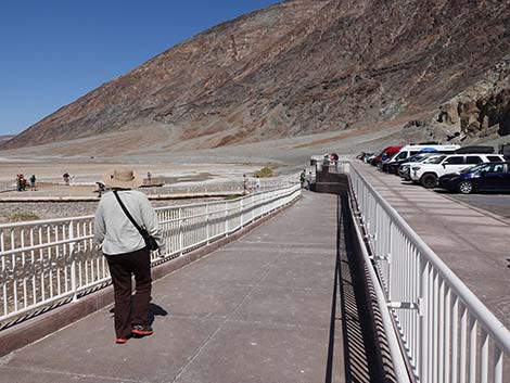
 Returning to the main boardwalk (view W) |
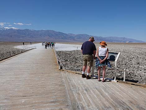
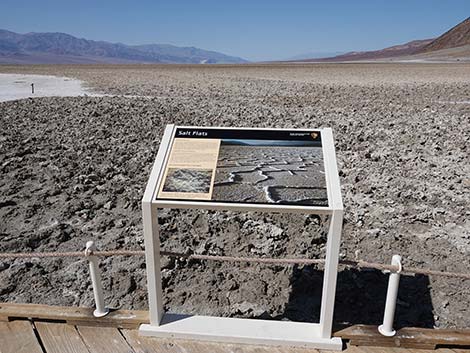 Information sign (view NW) |
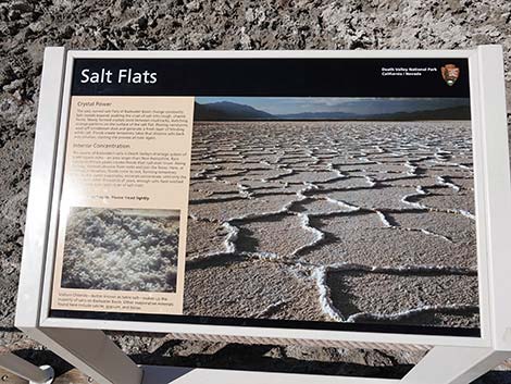 Information sign: Salt Flats (view NW) |
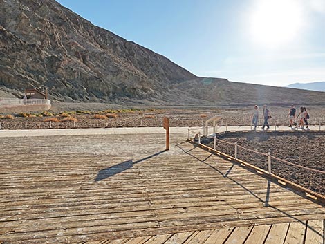
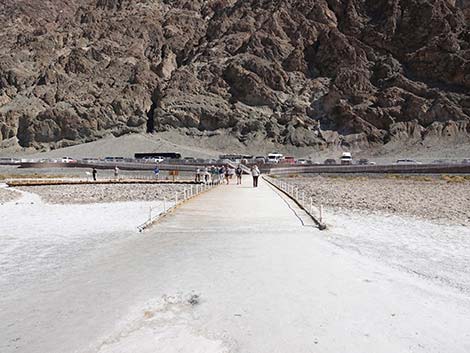
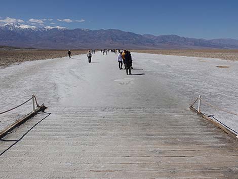 Approaching the end of the main boardwalk (view W) |
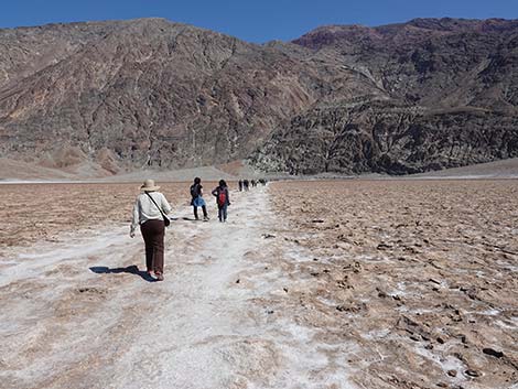
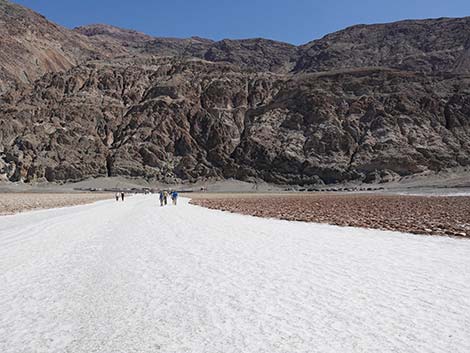
 Hikers on the salt-flat trail (view W) |
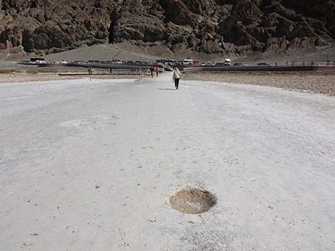
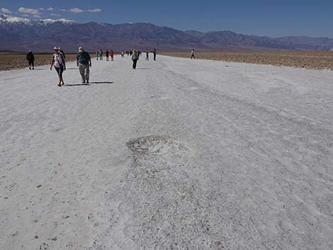 Watch for divots in the trail (view W) |
 Watch for divots in the trail (view W) |
 Undulating surface of the salt flat off the edge of the trail (view N) |
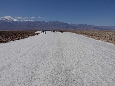 Hikers continuing out the salt trail (view W) |
 The salt trail forks; main trail stays left (view W) |
 The right fork does not connect with the main salt flats (view N) |
 Staying left on the main salt trail (view W) |
 Watch for trail divots: this one has water in the bottom (view W) |
 Off the edge of the trail, the dirty salt flat is now smoother (view N) |
 Beyond the fork, the salt trail narrows (view W) |
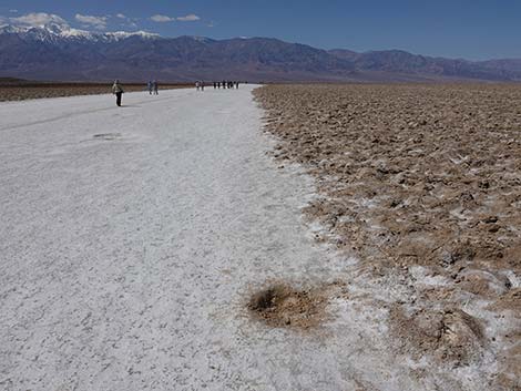
 Off the edge of the trail, salt ridges begin to appear (view S) |
 Off the edge of the trail, salt ridges begin to appear (view N) |
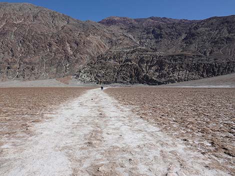
 The salt trail receives fewer visitors this far out (view W) |
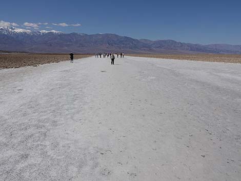
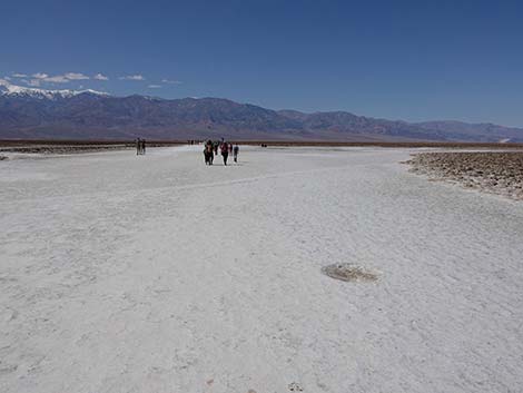
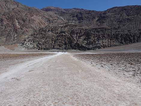
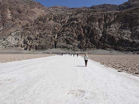
 Hikers on the salt flat trail as the destination comes into view |
 Off the edge of the trail, salt ridges become more interesting (view N) |
 Approaching the end of the salt flats trail (view W) |
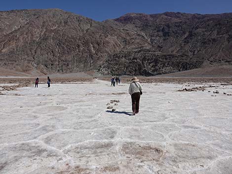
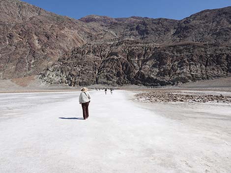
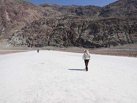
 Hiker at the end of the salt flats trail (view W) |
 Hiker starting onto the main Badwater Basin salt flat (view W) |
 Salt for as far as the eye can see (view W) |
 Salt for as far as the eye can see (view S) |
 Salt for almost as far as the eye can see (view N) |
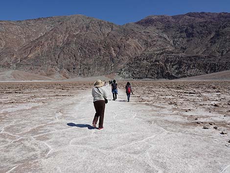
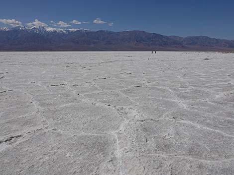 Hikers far out on the salt flat (view NW) |
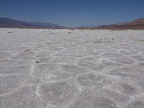
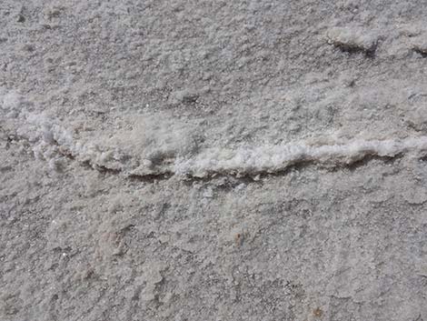
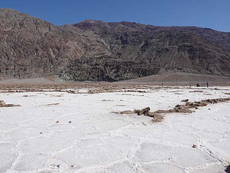
Salt ridges |
 Salt ridges |
 Salt ridges |
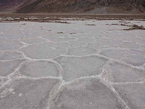
 Salt ridge |
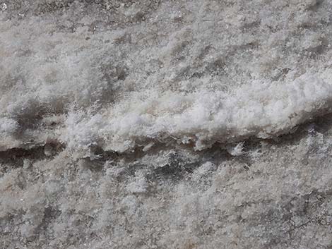 Salt ridge |
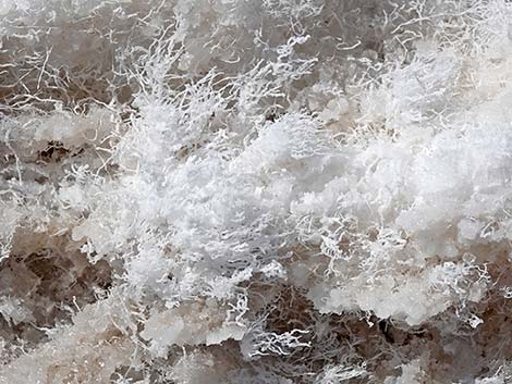 Salt ridge detail: the hairs are strands of salt |
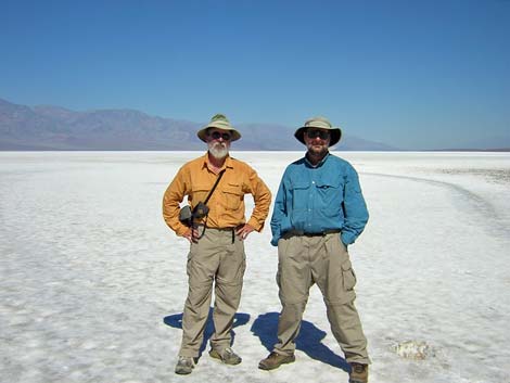 Grad-school buddies on the salt flat (view N) |
Returning to Badwater Basin Trailhead
 Returning towards the trailhead (view E) |
 Hiker departing the main salt flat towards the salt trail (view E) |
 Hikers on the salt trail (view E) |
 Hikers on the salt trail (view E) |
 |
 |
 The two forks merge and return towards the trailhead (view E) |
 The salt trail is much broader east of the fork (view E) |
 |
 |
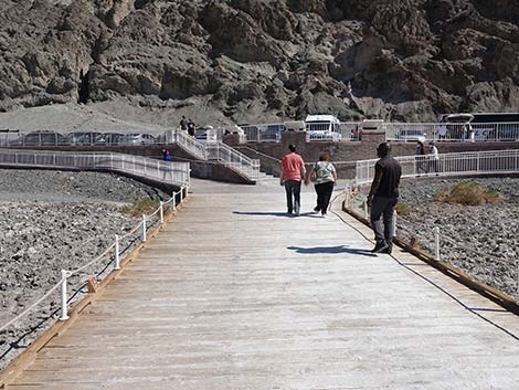
 Hiker returning to the boardwalk area (view E) |
 Always keep an eye out for divots (view E) |
 Returning to the boardwalk (view E) |
 Returning towards the Badwater Pool boardwalk spur (view E) |
 Returning towards the trailhead (view E) |
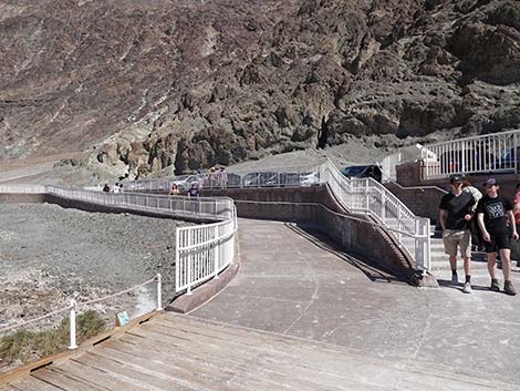 Ramp to north end of parking; stairs to middle section (view NE) |
 Ramp to south end of parking (view S) |
 Returning to south end of parking and toilets (view S) |
Table 1. Highway Coordinates (NAD27; UTM Zone 11S). Download Highway GPS Waypoints (*.gpx) file.
| Site | Location | Latitude (°N) | Longitude (°W) | Easting | Northing | Elevation (ft) |
|---|---|---|---|---|---|---|
| 0712 | Furnace Creek Visitor Center | 36.46159 | 116.86574 | 512030 | 4034954 | -186 |
| 0714 | Badwater parking area | 36.22981 | 116.76638 | 520995 | 4009262 | -280 |
| 0741 | Hwy 190 at Badwater Rd | 36.44841 | 116.85192 | 513271 | 4033494 | 4 |
Table 2. Hiking Coordinates Based on GPS Data (NAD27, UTM Zone 11S). Download Hiking GPS Waypoints (*.gpx) file.
| Wpt. | Location | Easting | Northing | Elevation (ft) |
|---|---|---|---|---|
| 01 | Badwater trailhead | 520995 | 4009262 | -280 |
| 02 | Trail forks | 520447 | 4009352 | -259 |
| 03 | Pressure ridges | 520195 | 4009408 | -288 |
Happy Hiking! All distances, elevations, and other facts are approximate.
![]() ; Last updated 240324
; Last updated 240324
| Death Valley | Hiking Around Las Vegas | Glossary | Copyright, Conditions, Disclaimer | Home |