Southern Nevada Wilderness Areas
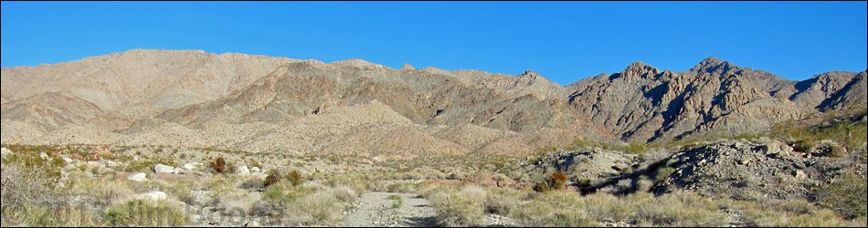
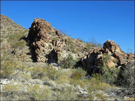
 Rugged west side of Mt. Wilson (view E) |
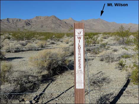
Overview The Mount Wilson Wilderness preserves 23,900-acre and eight miles of Wilson Ridge, part of the Black Mountains in Arizona, including the summit of Mount Wilson (5,445 feet). The west side of the ridge is a stark, steep, and forbidding landscape, while the east side suggests more gentle mountains, broad bajadas, and three springs that support wildlife, including more than 100 desert bighorn sheep. Wilson Ridge rises to more than 3,000 feet above the desert floor, providing grand views over Lake Mead, the Colorado River, and mountains and deserts into the distance. The Wilderness is almost completely surrounded by Lake Mead National Recreation Area. Link to wilderness area map. |
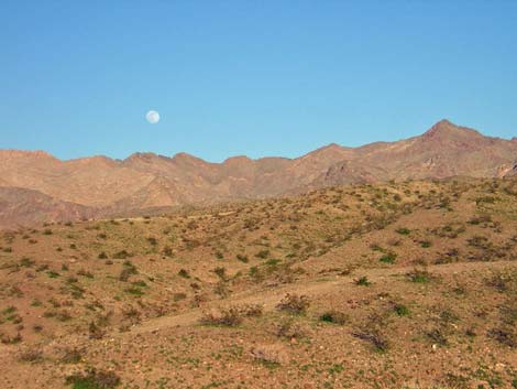 Moon rise over Wilson Mts (view E from Hwy 93) |
Location The Mount Wilson Wilderness Area is located about 35 air-miles southeast of Las Vegas, just across Hoover Dam in Arizona. It is located east of U.S. Highway 93 and west of Temple Bar Road. In a practical (but not legal) sense, this wilderness area is part of Lake Mead National Recreation Area. Boundaries Mount Wilson Wilderness Area is bounded by the border of Lake Mead National Recreation Area to the west, north, and most of the east side (lines on a map rather than natural borders. The southeast edge is bounded by a powerline corridor, and the south edge is bordered by an old mining road. |
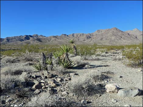
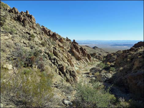
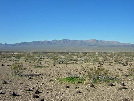 Wilson Mts (view W from Detrital Wash) |
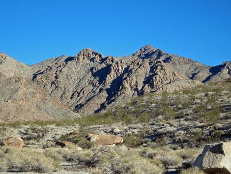
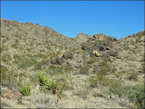
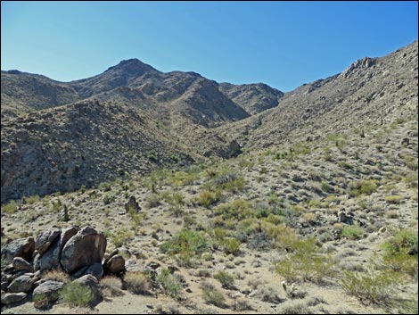
Access The easiest access to the wilderness area is from one dirt road on the west side (Boundary Mine Road, NPS Rd 64) and two dirt roads on the east side (Missouri Spring Road), originating off Temple Bar Road. All roads require, at the least a 2WD-HC vehicle. Hiker access is available from three other dirt roads (Horse Thief Canyon Road) on the west side. Terrain Wilson Ridge, trending north-south and part of the Basin and Range Province, dominates the terrain. The west side is rough, steep, and rugged with considerable outcroppings of rocks and deep canyons that drain to the Colorado River. The east side is more gentle and less rocky with slopes running out onto a broad bajada that is drained by the nearly flat Detrital Wash. |
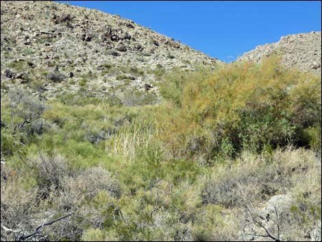 |
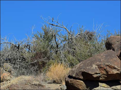
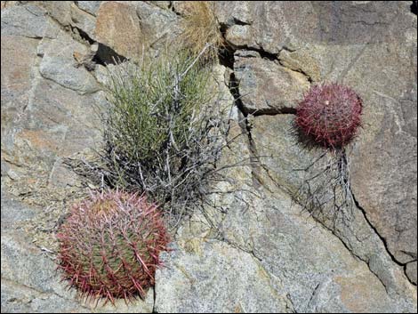
Habitat Type The wilderness area is located in the Creosote-Bursage Flats (Lower Sonoran) and the Mojave Desert Scrub (Upper Sonoran) life zones. On lower-elevation flats, vegetation is dominated by creosote bush and white bursage, with a profusion of wildflowers during spring and early summer. At higher-elevations, vegetation is typical Mojave Desert Scrub with creosote bush, white bursage, and Mojave yucca dominating. Additional common species include bunchgrasses, cholla, pricklypear cactus, and a variety of other low-growing desert shrubs dominating the landscape. Washes are more diverse, with species such as catclaw acacia and cheesebush, and desert baccharis. |
 |
Wildlife Birds in the wilderness area include Phainopepla, Bell's Sparrows, Black-tailed Gnatcatcher, Dark-eyed Junco, Ladder-backed Woodpecker, Black-throated Sparrow, Red-tailed Hawk, Crissal Thrasher, Golden Eagle, Loggerhead Shrike, Common Raven, Cactus Wren, American Kestrel, Turkey Vulture, Bewick's Wren, and Bushtits. Reptiles expected include desert tortoises, yellow-backed spiny lizard, side-blotched lizard, leopard lizard, zebra-tailed lizard, and Mojave Patch-nosed Snake. Mammals include the typical rodents (kangaroo rats, wood rats, and pocket mice) plus Harris' Antelope Squirrel and Black-tailed Jackrabbits. About 100 bighorn sheep and a few feral burro use the area. |
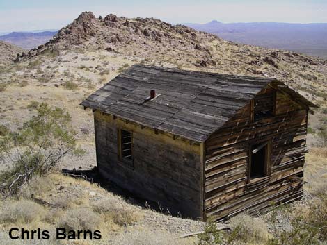 |
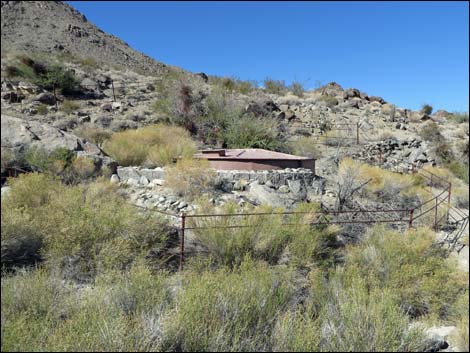
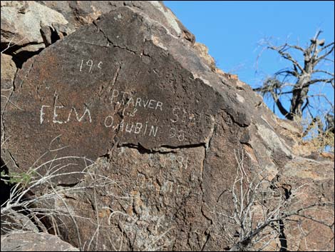
Archaeology This area probably was traversed by native peoples, but I have no specific information about native use in the wilderness area. Miners and ranchers used the area, leaving evidence of their passed at springs, prospects, a few old mines, plus some of them carved their names in the rocks. The Missouri Spring area is the site of most mining activity inside the wilderness area, but several old mines can also be found along the west edge of the Wilderness area. |
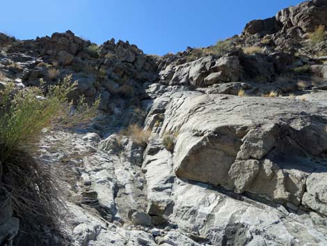 |
Geology Consistent with the rest of the region, the geologic story of the wilderness area is complex. Wilson Ridge is part of the Black Mountains, so named because they are formed of dark volcanic rocks. The pale rocks of Wilson Ridge are granitic, thought to be the core of an ancient volcano. Over the last 12 million years or so, the top of the volcano eroded away (may have slid away due to faulting), leaving only the granitic core. Rocks in the southern part of the wilderness are Precambrian metamorphics that predate the volcanic activity. The steep west side of Wilson Ridge is bordered by faults (Kingman Road and Indian Canyon faults). |
 |
Recreation Rugged and sublime landscapes with nothing but the wind and bird songs to break the silence is the main attraction, as there are no facilities or special features. This is a place to wander about, ride horses, hike, hunt, and photograph the spring wildflowers. The only designated trail is the Missouri Spring Trail that follows an historic mining road for some 3 miles to a guzzler. Other popular hikes in the wilderness include the summit of Mt. Wilson via the east and west sides. Several major washes provide easy walking for hikers who want to spend pleasant off-trail time in the wilderness. |
 |
 |
 |
 |
 |
 |
 |
 |
 |
 |
Note: All distances, elevations, and other facts are approximate.
![]() ; Last updated 240331
; Last updated 240331
| Wilderness Areas | Hiking | Guide Services | Glossary | Copyright, Conditions, Disclaimer | Home |