Rocks and Geology Around Las Vegas
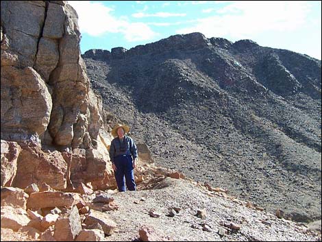 |
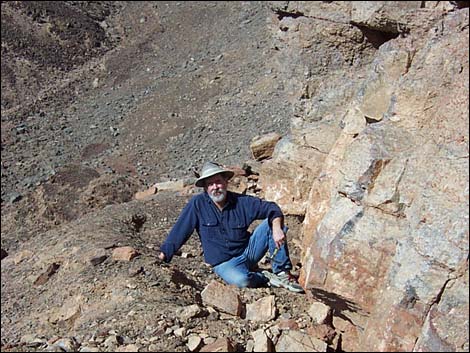
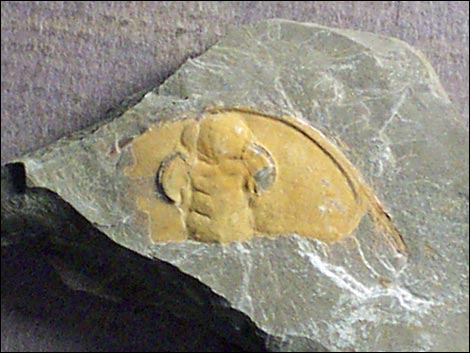
The Cadiz Trilobite Quarry, also called the Marble Mountain Rock Collecting Area, is a small area with outcrops of fossil-bearing shale southeast of the ghost town of Cadiz. Trilobites here occur in the Latham Shale, a greenish to brownish shale dating from the lower Cambrian (about 518 mya). These trilobites belong to the family Olenellidae (commonly called olenellids). Extinct blue-green algae (genus Girvanella) are common too. Link to additional information about the area. Access to the site is via dirt and sand roads that generally are fine for 2WD vehicles, but conditions change, so walk rather than risk getting stuck. The quarry sites are on the prow of a hill above the access road. The area has been quarried for years, so follow the old road, looking for use-trails and quarry pits. Marble Mountain Rock Collecting Area Link to map. |
 |
 |
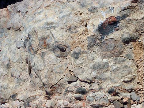 Girvanella, an extinct genus of blue-green algae |
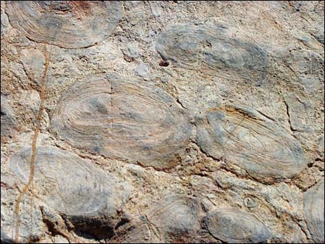 Girvanella, an extinct genus of blue-green algae |
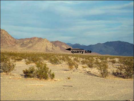 Cadiz Road (view E from the pavement) |
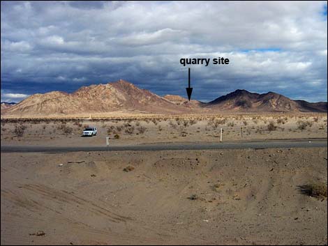 Cadiz road at access road (view N from railroad bed) |
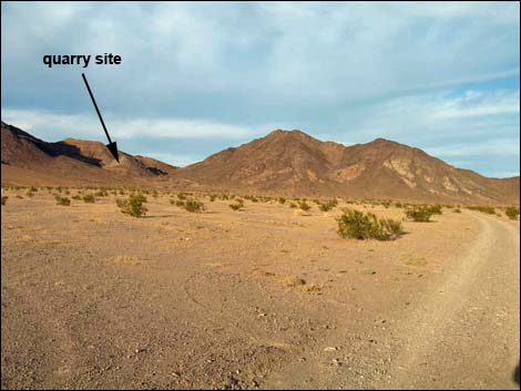 Access Road (view ENE) |
 Access Road (view NE) |
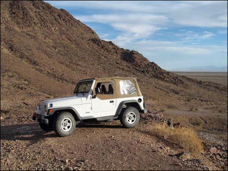
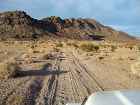
 Access Road approaching 2WD trailhead (view NE) |
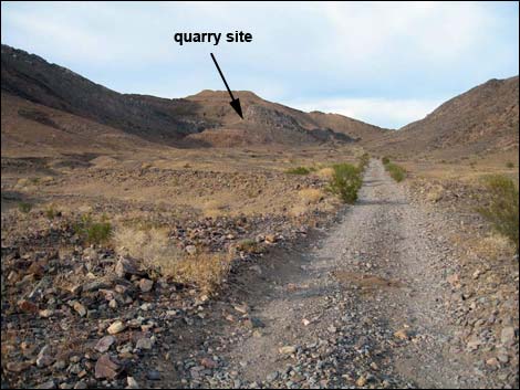
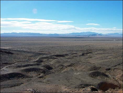
 Beyond the 2WD trailhead (view N) |
 Beyond the 2WD trailhead (view N) |
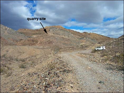
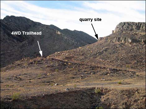
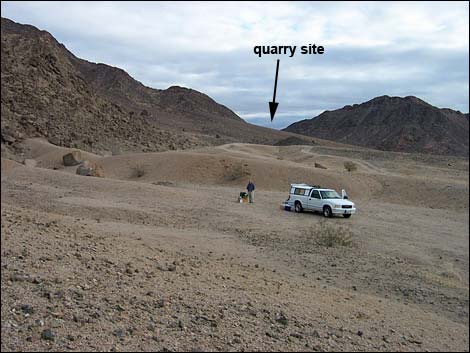
 4WD trailhead (view S) |
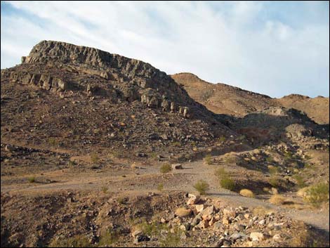
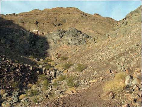 Trail to quarry site (turn up hillside; view N) |
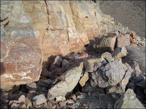
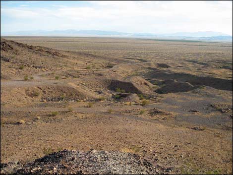
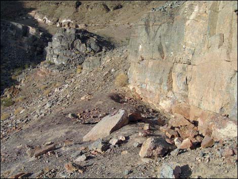 West quarry site (view N) |
 West quarry site (view W) West quarry site (view W) |
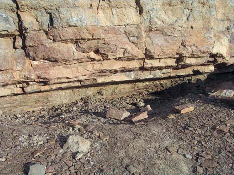
 South quarry site (view SE) |
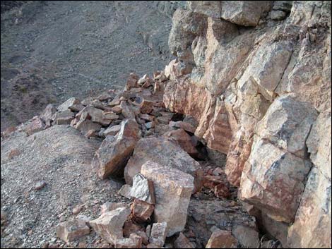 South quarry site (view NW) |
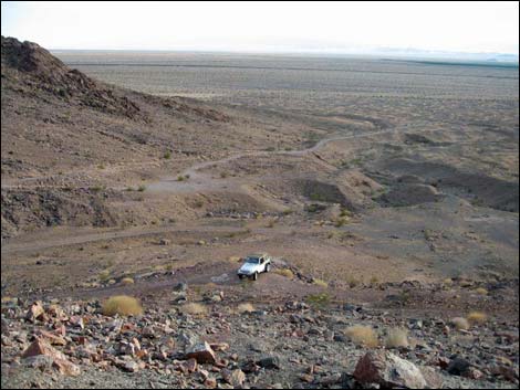 Returning to the trailhead (view S from South Quarry Site) |
 4WD trailhead (view SW along access road) |
 4WD trailhead (view S along access road) |
 Campsite road (view NNE) |
 Campsite (view NE) |
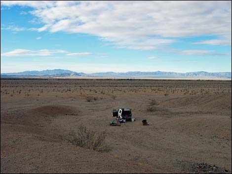 Campsite (view SW) |
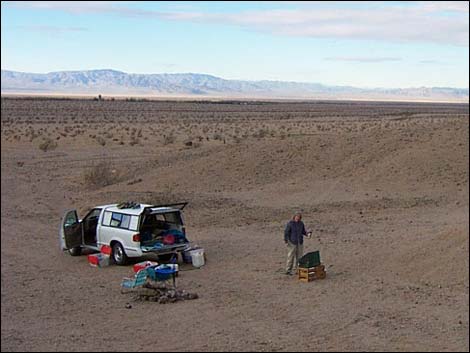 Campsite (view SW) |
Table 1. Highway and Hiking Coordinates based on GPS Data (NAD27; UTM Zone 11S). Download GPS Waypoints (gpx) file.
| Wpt. | Location | UTM Easting | UTM Northing | Elevation (ft) | Point-to-Point Distance (mi) | Cumulative Distance (mi) | Verified |
|---|---|---|---|---|---|---|---|
| 00 | Hwy 66 at Cadiz Road | 34.56181 | 115.54333 | 756 | 0.00 | 0.00 | GPS |
| 01 | Cadiz Rd at Dirt Road | 34.53395 | 115.52156 | 762 | 4.44 | 4.44 | GPS |
| 02 | Road Intersection | 34.52794 | 115.48838 | 836 | 0.66 | 5.10 | GPS |
| 03 | Road Intersection | 34.52730 | 115.48435 | 855 | 0.22 | 5.32 | GPS |
| 04 | 2WD Trailhead | 34.53405 | 115.47610 | 971 | 0.70 | 6.02 | GPS |
| 05 | 4WD Trailhead | 34.53492 | 115.47580 | 1,002 | 0.07 | 6.09 | GPS |
| 06 | Quarry Site South | 34.53627 | 115.47581 | 1,103 | 0.16 | 6.25 | GPS |
| 07 | Quarry Site West | 34.53647 | 115.47591 | 1,096 | 0.02 | 6.27 | GPS |
| 08 | campsite | 34.53266 | 115.48428 | 915 | . | . | GPS |
Note: All distances, elevations, and other facts are approximate.
![]() ; Last updated 240331
; Last updated 240331
| Fossils | Rocks and Geology | Hiking Around Las Vegas | Glossary | Copyright, Conditions, Disclaimer | Home |