previous day | next day
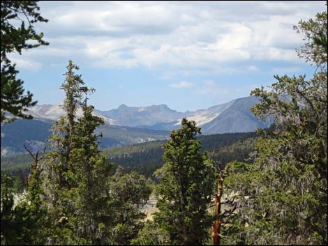
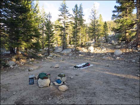
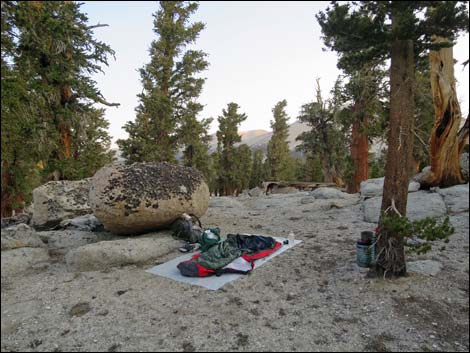 Campsite on the Siberian Plateau (view NW) |
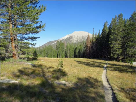
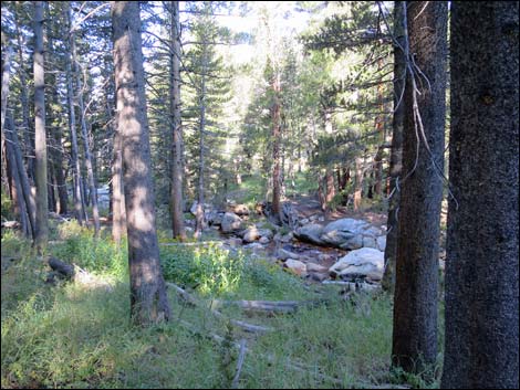
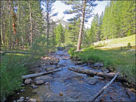
Day 3. Backpacking Day 2. Up early, I hit the trail and hiked down off the Siberian Plateau 2.8 miles into Rock Creek Canyon on a fairly easy trail. After following Rock Creek downstream for a mile, the trail crossed the creek and climbed out of the valley at a pretty steep clip. There was a camp area at the creek crossing, which was empty, and I stopped for a rest and snacks. I crossed Rock Creek and hiked north climbing towards Guyot Pass. I stopped for lunch at Guyot Creek and did a little bird watching. The area was pretty dry, so birds came from a wide area to drink here. After lunch, I continued up towards Guyot Pass and passed a small crowd coming down without packs. It turns out that using mules to haul your gear is a popular mode of "backpacking" these days. They were heading for the campsite at the Rock Creek crossing. |
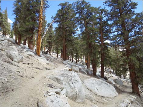
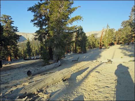 Sandy trail on the Siberian Plateau (view W) |
I arrived at Guyot Pass, but with two strings of pack mules arriving from the other side, I stepped aside into a crowd of about 10 hikers (an extended family) coming south. In chatting with them, I learned that they were hiking out tomorrow, so I asked if they had any extra batteries they could give up. They did and generously gave me more batteries than I would ever need. I didn't want the extra weight, but they really wanted to help me out. From the pass, I continued north and dropped into and crossed Guyot Flat, eventually arriving at Lower Crabtree Meadow where I stopped for the night. I spent a fair bit of the afternoon and evening chatting with the guys next door. I'd realized by now that hiking in this area was a wild experience, but not a wilderness experience, so engaging with the neighbors was the best option. I forget their names, but they were interesting characters and generous with their snacks and hot beverages. |
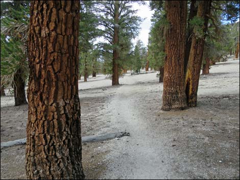
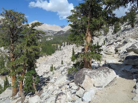
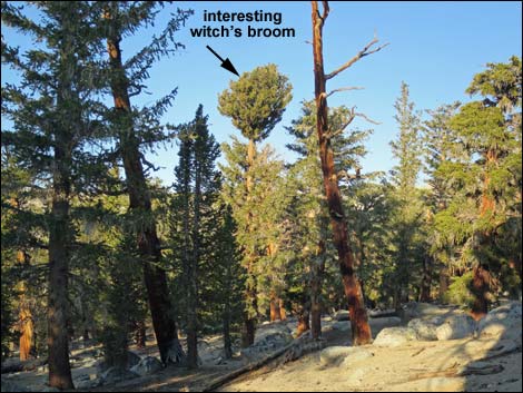 Interesting tree on the Siberian Plateau (view W) |
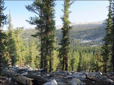 Edge of the Siberian Plateau (view NW into Rock Creek Canyon) |
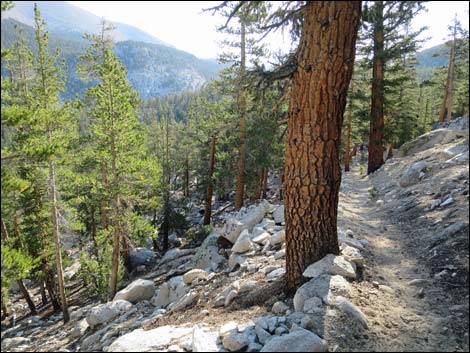 Descending into Rock Creek Canyon (view NW) |
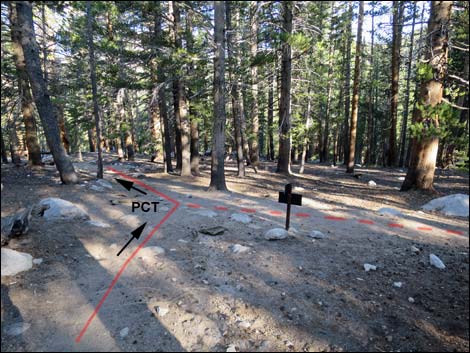 PCT at Rock Creek Trail (view NW) |
 Sign at PCT -- Rock Creek Trail junction (view SE) |
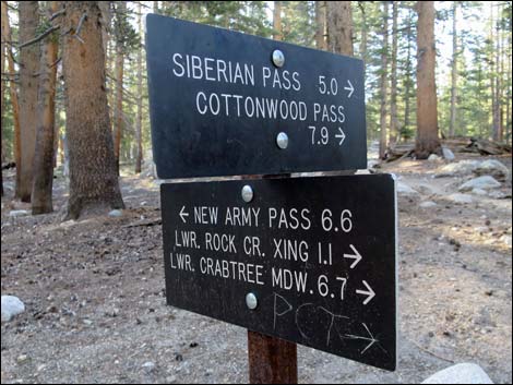
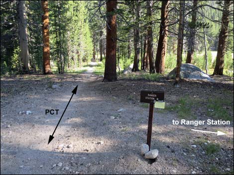 Trail junction to Rock Creek Ranger Station (view N) |
 Trail to Rock Creek Ranger Station (view E) |
 Rock Creek (view NW through the trees) |
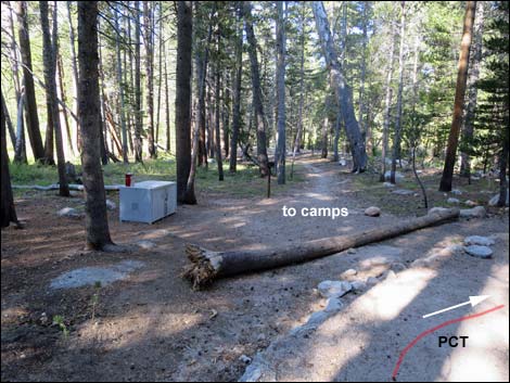 Hiker and Packer camp at Rock Creek crossing |
 Rock Creek (view W while crossing the stream) |
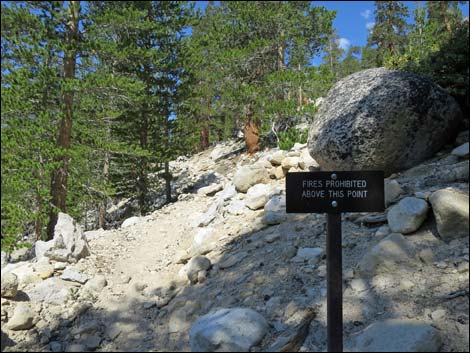 Climbing back above 10,000 feet; sign: no fires |
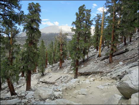
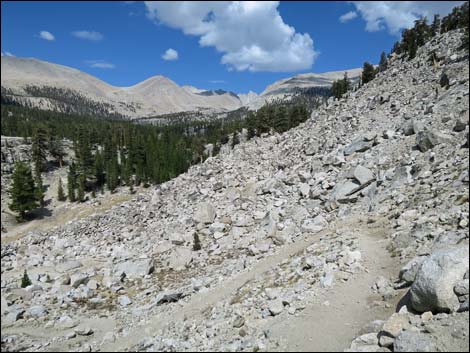
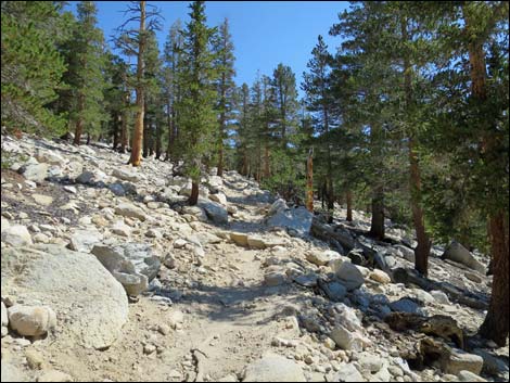 Climbing out of Rock Creek Canyon (view NE) |
 Gentle grades below Guyot Creek (view N) Gentle grades below Guyot Creek (view N) |
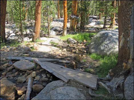 Guyot Creek crossing (view NE) |
 Switchbacks leading towards Guyot Pass (view NE) |
 Atop Guyot Pass (view N) |
 Crossing Guyot Flat (view N) |
 Descending into Crabtree Canyon (view N) |
 Descending into Crabtree Canyon (view N) |
 Descending into Crabtree Canyon (view N) |
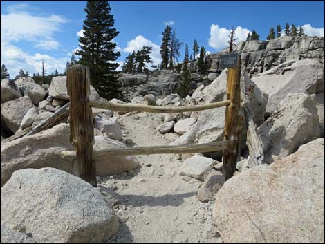 Gate and fencing near Lower Crabtree Meadow (view N) |
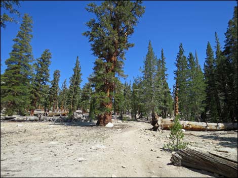
 Arriving at Lower Crabtree Meadow (view NE) |
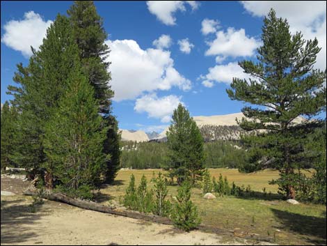
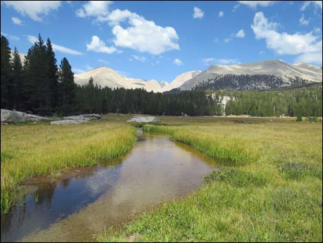 Lower Crabtree Meadow (view E) |
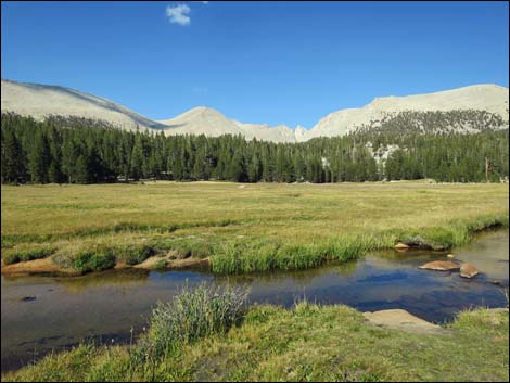 Lower Crabtree Meadow (view NE) |
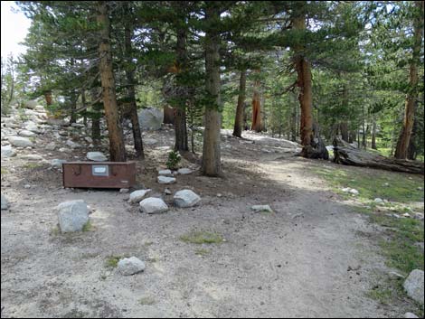 Camp area at Lower Crabtree Meadow (view W) |
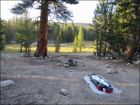
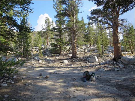 My campsite at Lower Crabtree Meadow (view S) |
 My campsite at Lower Crabtree Meadow (view SE) |
 My campsite at Lower Crabtree Meadow (view N) |
Note: All distances, elevations, and other facts are approximate.
![]() ; Last updated 170129
; Last updated 170129
| John Muir Trail | Postcards | Copyright, Conditions, Disclaimer | Home |